The best cycling routes in Wolli Creek Regional Park
4.5
(249)
4,536
riders
116
rides
Touring cycling in Wolli Creek Regional Park offers a variety of routes through an urban green space characterized by wetlands, waterways, and diverse ecosystems. The park features both paved and unpaved paths, catering to different skill levels and preferences. Cyclists can explore areas along the Cooks River and enjoy natural features like the Mangrove Boardwalk Trail. The terrain generally includes minimal elevation gain on easier routes, with more moderate options presenting longer distances and greater ascents.
Best touring cycling routes in Wolli Creek Regional Park
- The most popular touring cycling route is Brighton-Le-Sands Beach – Botany Bay loop from Wolli Creek, a 9.3 miles (15.0 km) trail that takes 56 minutes to complete. This easy route offers coastal views along Botany Bay.
- Another top favourite among local touring cyclists is Sydney Harbour Bridge – Anderson Street Bridge loop from Bexley North, a moderate 23.4 miles (37.7 km) path. This route covers longer distances and includes greater elevation changes, passing by urban landmarks.
- Local touring cyclists also love the Lake Belvedere – Mangrove Boardwalk Trail loop from Banksia, a 36.1 miles (58.1 km) trail leading through wetlands and waterways, often completed in about 3 hours 29 minutes.
- Touring cycling in Wolli Creek Regional Park is defined by shared paths, cycleways, and natural features such as wetlands and the Cooks River. The network offers options for various ability levels, from easy, paved rides to more challenging routes with greater distances.
- The routes in Wolli Creek Regional Park are highly rated by the komoot community with an average score of 4.5 stars from over 240 reviews. More than 5,200 touring cyclists have used komoot to explore Wolli Creek Regional Park's varied terrain.
Last updated: July 4, 2026
4.3
(6)
43
riders
14.9km
00:56
40m
40m
Easy bike ride. Great for any fitness level. Mostly paved surfaces. Suitable for all skill levels.
4.6
(7)
30
riders
Moderate bike ride. Good fitness required. Mostly paved surfaces. Suitable for all skill levels.

Sign up for free
4.5
(8)
263
riders
60.4km
03:46
190m
190m
Moderate bike ride. Good fitness required. Mostly paved surfaces. Suitable for all skill levels.
4.7
(10)
114
riders
54.4km
03:15
220m
220m
Moderate bike ride. Good fitness required. Mostly paved surfaces. Suitable for all skill levels.
9
riders
8.19km
00:30
30m
30m
Easy bike ride. Great for any fitness level. Mostly paved surfaces. Suitable for all skill levels.
Get access to more routes and recommendations from other explorers.
Sign up for free
Already have an account?
Our route recommendations are based on thousands of hikes, rides, and runs completed by other people on komoot.
Start today with a free account
Your next adventure awaits.
Login or Signup
Tips from the Community

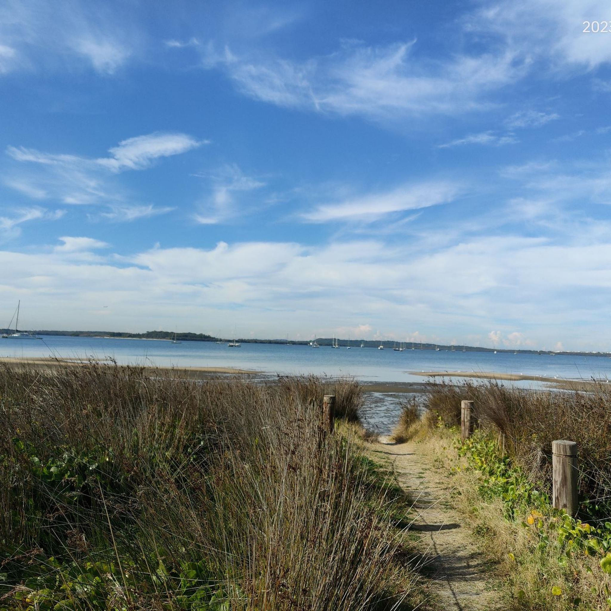
Botany Bay is famous for being the site of Captain James Cook's first landing in Australia in 1770. Today, the Sydney Airport juts out into the northern end of the bay, and the Towra Point Nature Reserve juts out into the southern end of the bay. Sandy beaches and multi-use paths line the waters, and it's a scenic recreation spot for anyone to enjoy.
0
0

This is one of the best land-based whale watching lookouts in all of Australia. Humpback whales can be seen swimming by from May to October, but June and July are when you'll have the best chance to spot them. Due to the nature of the waters here the whales are sometimes only 200 metres offshore, which is why this is such a great whale watching viewpoint.
0
0


Cooks River Cycleway is a shared walking and cycling path in Sydney, following the Cooks River for roughly 23 kilometres from Strathfield to Botany Bay. The mostly flat, paved route passes through parklands, wetlands, and urban green spaces, connecting a series of suburbs along the river corridor. Popular for commuting and recreation, it offers an accessible, off-road route with regular entry points, rest areas, and picturesque waterside sections.
0
0
Picken Oval is a community sports venue in Strathfield South, set along the Cooks River and directly connected to the Cooks River Cycleway. The oval features open grass fields used mainly for football, along with surrounding green space and basic recreational facilities. Its riverside setting and easy access from the path make it a convenient stop for walkers, runners, and cyclists travelling along the corridor.
0
0
This trailhead is a key access point to the Cooks River Cycleway in the Strathfield South suburb. It provides direct entry to the shared path, connecting riders and walkers to the more expansive riverside network. The trailhead sits in a quiet residential area with nearby street parking on Melville Avenue for easy access to the flat, paved route.
0
0
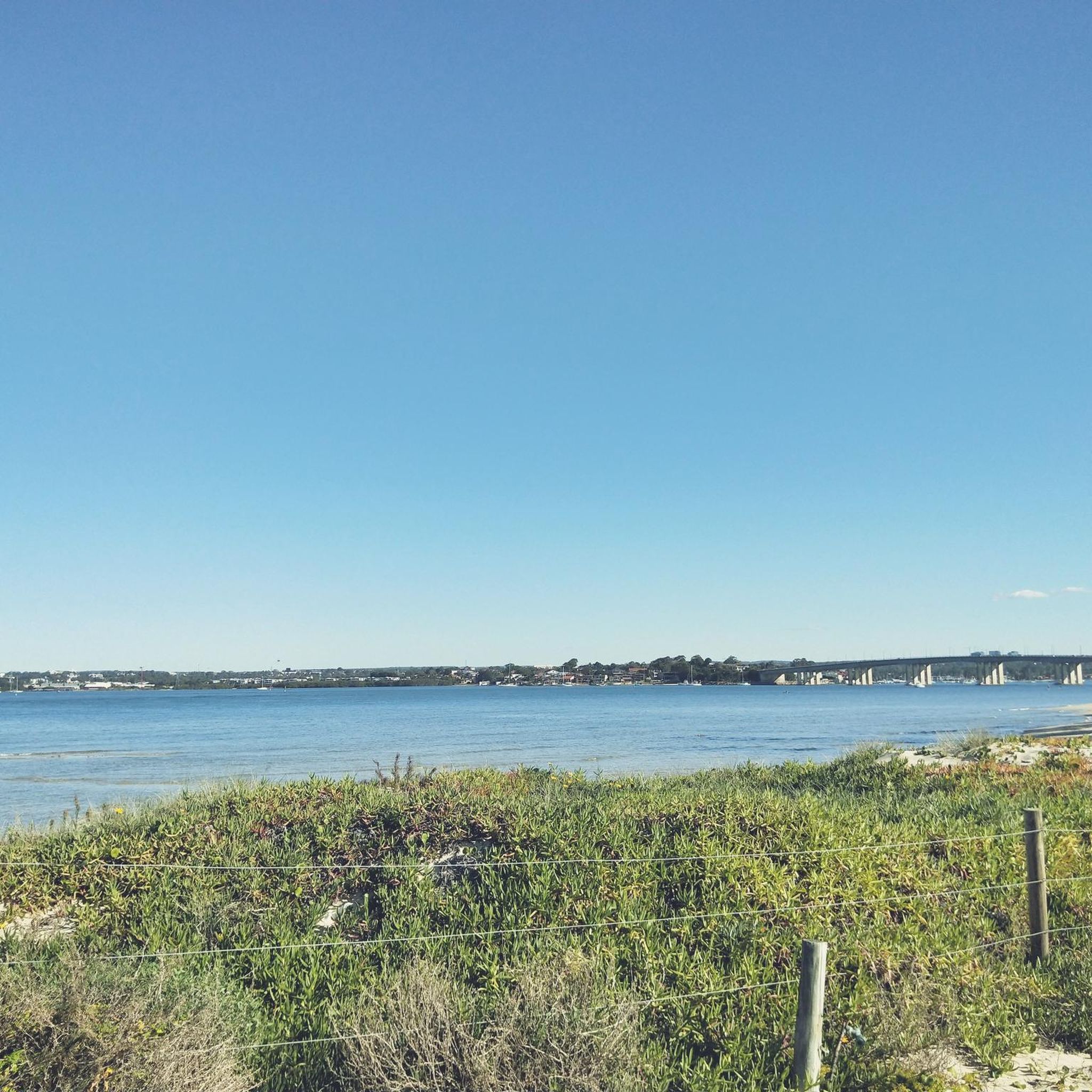
This is a fantastic spot to get a beautiful view of Botany Bay, an expansive coastal inlet south of central Sydney where the Georges and Cooks rivers flow into the Tasman Sea. The bay is historically significant as the landing site of Captain James Cook in 1770 and remains a key natural and industrial waterway. Today, it blends protected parklands, beaches, and major port facilities along its shores.
0
0
Cook Park is a long foreshore reserve that runs about 8½ kilometres along the western shoreline of Botany Bay, connecting beaches and suburbs from Kyeemagh to Sans Souci. Established in the late 19th century as public land, it’s named after Samuel Cook, who advocated for preserving the bay’s edge for community use. Today, it provides a continuous corridor of open space, shared walking and cycling paths, and direct access to several lovely, peaceful waterfront areas.
0
0
Frequently Asked Questions
How many touring cycling routes are available in Wolli Creek Regional Park?
There are over 120 touring cycling routes in Wolli Creek Regional Park, catering to various skill levels. You'll find a mix of easy, moderate, and some more challenging options.
What kind of terrain can I expect on touring cycling routes in Wolli Creek Regional Park?
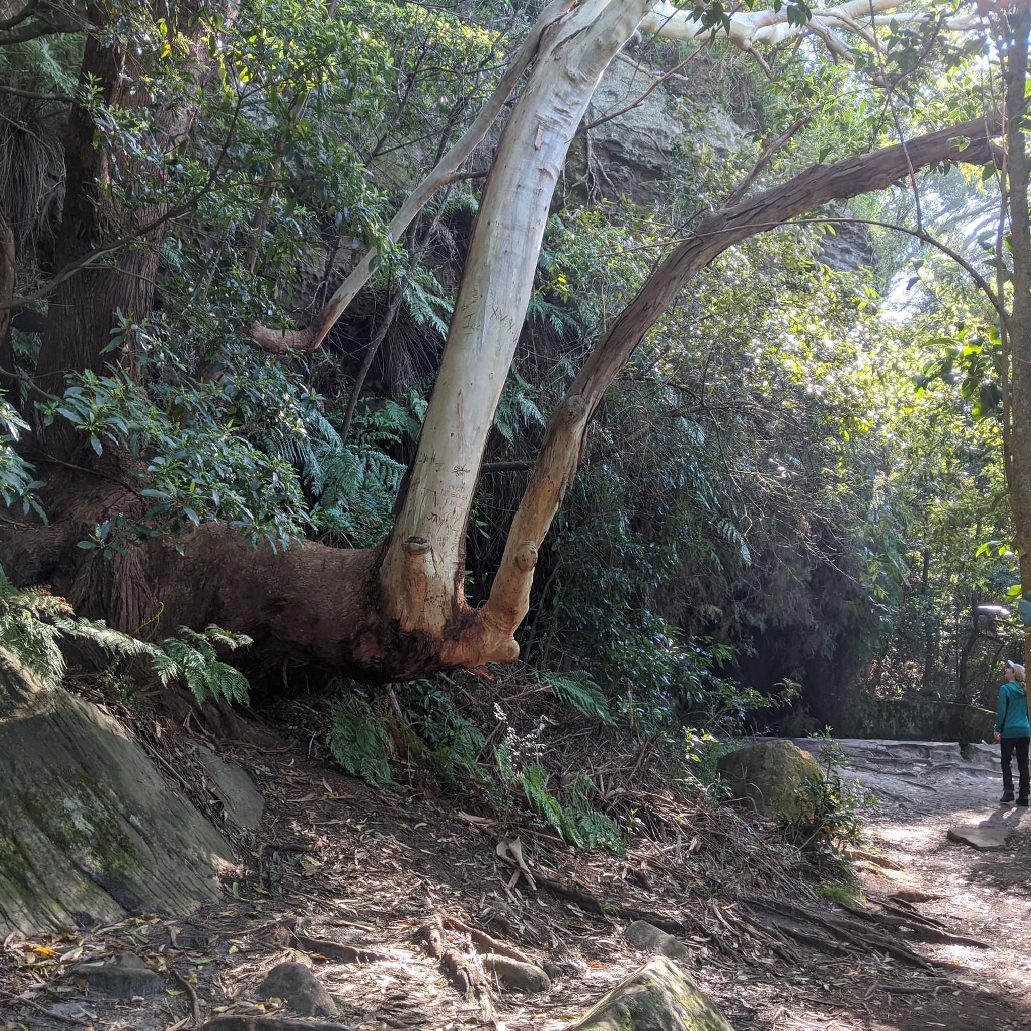
The park offers diverse terrain, including both paved and unpaved paths, shared paths, and dedicated cycleways. Routes often follow wetlands, waterways, and the Cooks River. While many easy routes have minimal elevation gain, more moderate options present longer distances and greater ascents, sometimes passing by impressive sandstone cliffs.
Are there any easy touring cycling routes suitable for beginners or families?
Yes, there are many easy routes. A popular choice is the Brighton-Le-Sands Beach – Botany Bay loop from Wolli Creek, an easy 15 km trail known for its coastal views along Botany Bay. Another easy option is the VN Street Food Wolli Creek – Cafe Green House loop from Arncliffe, which is just over 8 km.
What are some natural features or landmarks I can see along the cycling routes?
Cyclists can explore a variety of natural features, including wetlands, waterways, and areas along the Cooks River. The unique Mangrove Boardwalk Trail offers close-up views of aquatic environments. The park also features impressive sandstone cliffs and conserves a richly varied vegetation corridor with diverse native plants.
What is the best time of year to go touring cycling in Wolli Creek Regional Park?
Wolli Creek Regional Park is generally pleasant for cycling year-round. However, spring and autumn often offer the most comfortable temperatures for outdoor activities. It's always a good idea to check local weather forecasts before heading out.
Are there any longer or more challenging touring cycling routes?
Yes, for those seeking a greater challenge, the Sydney Harbour Bridge – Anderson Street Bridge loop from Bexley North is a moderate 37.7 km path that includes greater elevation changes and passes urban landmarks. Another moderate option is the Lake Belvedere – Mangrove Boardwalk Trail loop from Banksia, a 58.1 km trail through wetlands and waterways.
Is Wolli Creek Regional Park accessible by public transport?
Yes, the park is easily accessible via public transport. Train stations such as Turrella, Bardwell Park, and Bexley North provide convenient entry points, allowing you to reach the park without a car.
Are there picnic or barbecue areas available in the park?
Yes, the park offers several spots ideal for relaxation and picnics. Girrahween picnic area and Turrella Reserve are popular locations where visitors can enjoy picnics and barbecues amidst the natural surroundings.
What kind of wildlife might I encounter while cycling?
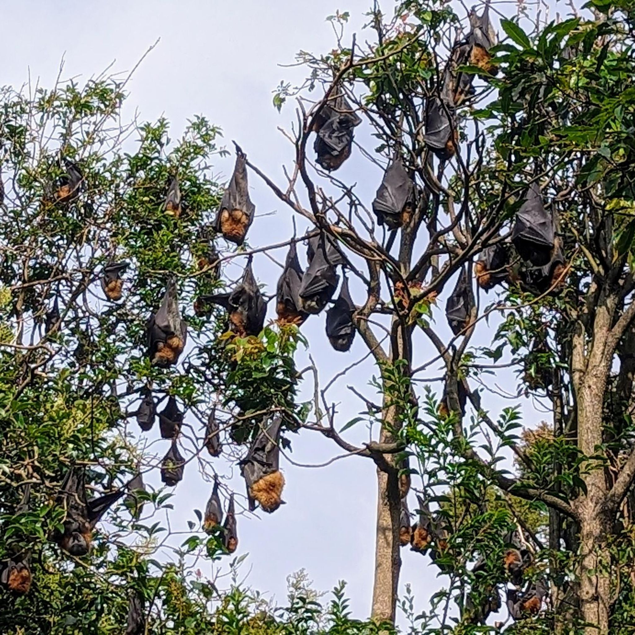
Wolli Creek Regional Park is a significant habitat for diverse wildlife. You might spot an astonishing array of birdlife, including cormorants, darters, blue wrens, finches, brown goshawks, and peregrine falcons. The park is also home to a colony of grey-headed flying foxes, Australia's largest native bat species.
What do other touring cyclists enjoy most about cycling in Wolli Creek Regional Park?
The komoot community highly rates the touring cycling experience in Wolli Creek Regional Park, with an average score of 4.5 stars from over 240 reviews. Cyclists often praise the park's diverse landscapes, the variety of routes catering to different skill levels, and the opportunity to explore a vital green oasis within an urban setting.
Where can I find more information about Wolli Creek Regional Park?
For more detailed information about the park, including its conservation efforts and facilities, you can visit the official NSW National Parks and Wildlife Service website: Wolli Creek Regional Park.
Most popular routes in Wolli Creek Regional Park

Get inspired with the komoot mobile app


Explore more
Browse the best Cycling routes in other regions.
