The best running trails in Distrito De Conservación De Suelos Alto Del Nudo
4.8
(4)
78
runners
13
runs
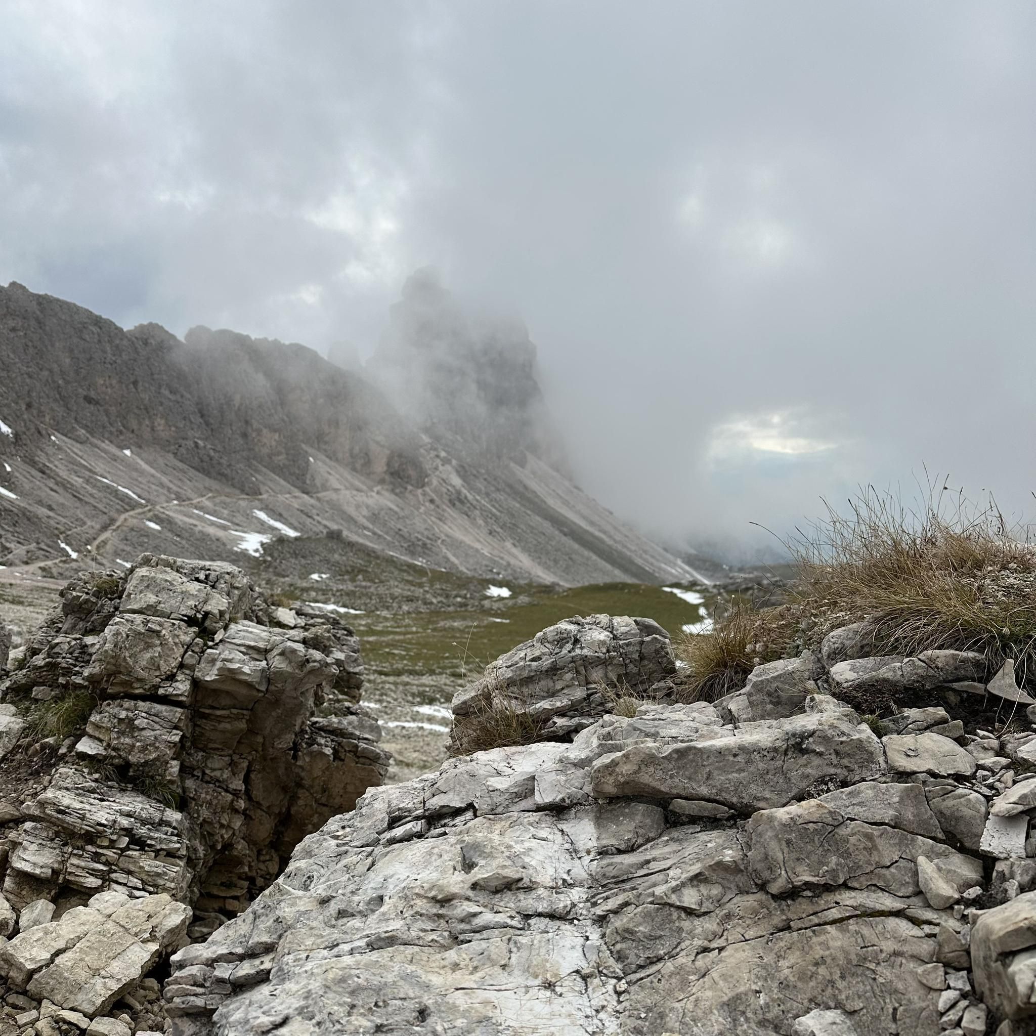
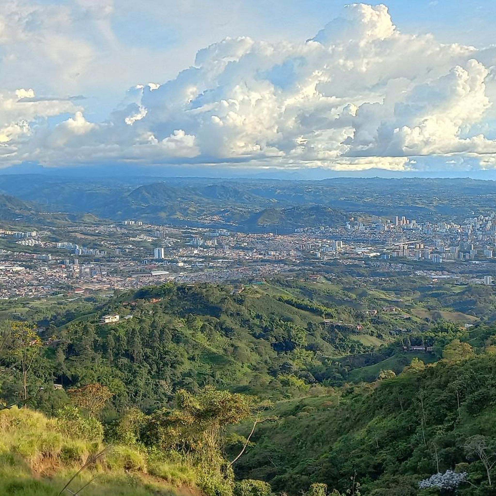
Jogging in Distrito De Conservación De Suelos Alto Del Nudo offers diverse landscapes on the western slopes of the Central Andes, with elevations between 1700-2100 meters. The varied topography provides a range of challenges, from moderate paths to demanding inclines. Andean forests ensure a natural environment with ample shade and clean air, complemented by numerous water sources and springs that create lush, scenic backdrops for running. This protected area is ideal for those seeking to combine physical activity with natural…
Last updated: July 1, 2026
4.5
(2)
7
runners
8.37km
00:55
150m
150m
Moderate run. Good fitness required. Mostly paved surfaces. Suitable for all skill levels.
5
runners
13.2km
01:44
600m
600m
Hard run. Very good fitness required. Mostly paved surfaces. Suitable for all skill levels.

Sign up for free
4
runners
9.69km
01:07
210m
210m
Moderate run. Good fitness required. Mostly paved surfaces. Suitable for all skill levels.
4
runners
7.97km
00:51
120m
120m
Moderate run. Good fitness required. Mostly paved surfaces. Suitable for all skill levels.
5.0
(1)
17
runners
11.3km
01:13
150m
150m
Moderate run. Good fitness required. Mostly paved surfaces. Suitable for all skill levels.
Get access to more routes and recommendations from other explorers.
Sign up for free
Already have an account?
Our route recommendations are based on thousands of hikes, rides, and runs completed by other people on komoot.
Start today with a free account
Your next adventure awaits.
Login or Signup
Popular around Distrito De Conservación De Suelos Alto Del Nudo

Frequently Asked Questions
How many running routes are available in Distrito De Conservación De Suelos Alto Del Nudo?
There are over 10 dedicated running routes in Distrito De Conservación De Suelos Alto Del Nudo, offering a variety of experiences from moderate paths to more challenging inclines. In total, the komoot community has recorded 13 tours in the area.
What kind of terrain can I expect on the jogging trails in Alto Del Nudo?
The terrain in Alto Del Nudo is diverse, situated on the western slopes of the Central Andes with elevations between 1700-2100 meters. You'll find a mix of moderate paths and demanding inclines, often through Andean forests providing ample shade. The area is rich in water sources, contributing to a lush, scenic environment.
Are there any easy or beginner-friendly running routes in the district?
While many routes offer a challenge, you can find options suitable for beginners. For example, the Running loop from Pereira is a moderate 7.9 km route with less elevation gain, making it a good starting point. The Cabañas Filadelfia loop from Santa Rosa de Cabal is also a moderate option.
What are some notable natural features or landmarks to see while running in Alto Del Nudo?
The district is rich in natural beauty. You can explore trails like the Cacique Nona Nature Trail, known for its pleasant scenery. The area also boasts several natural viewpoints such as Mirador del Chaquiro, Mirado Betania, and Mirador Santa Ana, which offer breathtaking panoramic vistas of the region.
Are there any circular running routes in Distrito De Conservación De Suelos Alto Del Nudo?
Yes, many of the running paths in the district are circular. Popular loop options include the Cabañas Filadelfia loop from Santa Rosa de Cabal, the challenging Alto Tapizayo loop from Dosquebradas, and the Running loop from Villa Del Palmar.
What do other runners enjoy most about the trails in Distrito De Conservación De Suelos Alto Del Nudo?
The running routes in Distrito De Conservación De Suelos Alto Del Nudo are highly rated by the komoot community, with an average score of 4.8 stars. Runners often praise the diverse landscapes, the refreshing Andean forests providing ample shade, and the scenic backdrops created by numerous water sources and springs.
Is Distrito De Conservación De Suelos Alto Del Nudo suitable for trail running with dogs or children?
The district's diverse trails offer options for various fitness levels. While some trails like Sendero Natural Cacique Nona are described as beautiful and pleasant, others like Huellas de San Andrés involve significant uphill climbs. It's advisable to check individual route details for difficulty and length to ensure they are suitable for your family or dog's capabilities. The natural environment is generally welcoming for outdoor activities.
Are there any specific trails that offer a significant challenge for experienced runners?
Absolutely. For experienced runners seeking a challenge, the Alto Tapizayo loop from Dosquebradas is an 8.2-mile (13.2 km) difficult path with significant elevation gain. The Sendero Palo Santo, at 3.9 km, also has a medium-high difficulty level, providing a strenuous workout.
What is the best time of year to go running in Alto Del Nudo?
Given its location on the western slopes of the Central Andes, the region generally offers a refreshing natural environment. Andean forests provide ample shade, making it suitable for running throughout much of the year. However, checking local weather forecasts before your visit is always recommended to ensure optimal conditions.
Are there any facilities like visitor centers or places to explore near the running routes?
Yes, the district supports ecotourism with facilities like the visitor center 'Las Hortensias'. This center serves as a base for accessing natural and cultural resources, including pre-Hispanic petroglyphs, and can be a good starting point or point of interest during your visit.
How can I get to the running trails in Distrito De Conservación De Suelos Alto Del Nudo, and is parking available?
The district spans across the municipalities of Pereira, Dosquebradas, Marsella, and Santa Rosa de Cabal. Access points will vary depending on the specific trail you choose. While the region is accessible, it's recommended to check specific route starting points for details on parking availability or public transport options, as some trails might be more remote than others.
Can I combine running with birdwatching in Alto Del Nudo?
Yes, the district is known for its rich biodiversity, including over 200 species of birds. Combining your run with birdwatching is an excellent idea, adding an element of natural discovery to your outdoor excursion. Keep an eye out for local wildlife as you explore the trails.
Most popular routes in Distrito De Conservación De Suelos Alto Del Nudo
Most popular attractions in Distrito De Conservación De Suelos Alto Del Nudo

Get inspired with the komoot mobile app


Explore more
Browse the best Running Trails & Routes in other regions.
