The best cycling routes in Santuario De Fauna Y Flora Iguaque
4.9
(63)
478
riders
52
rides
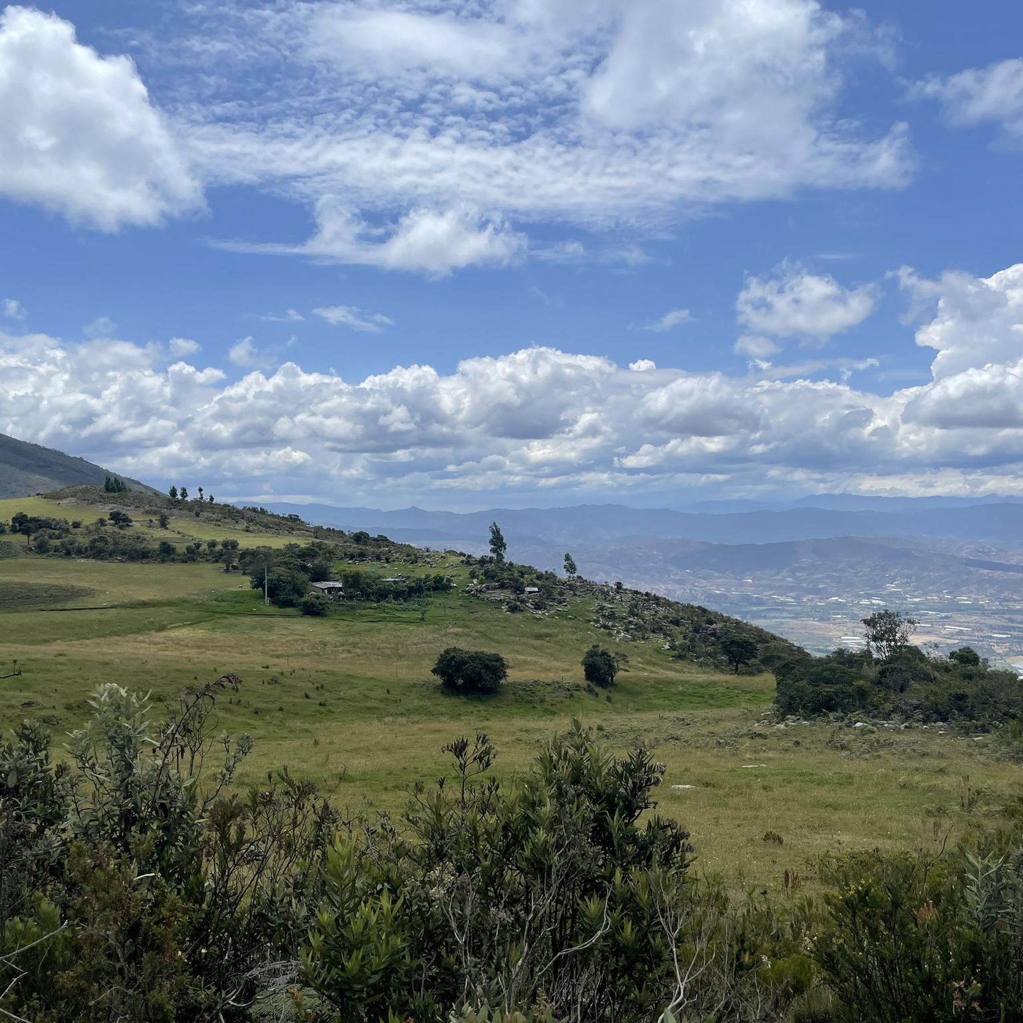
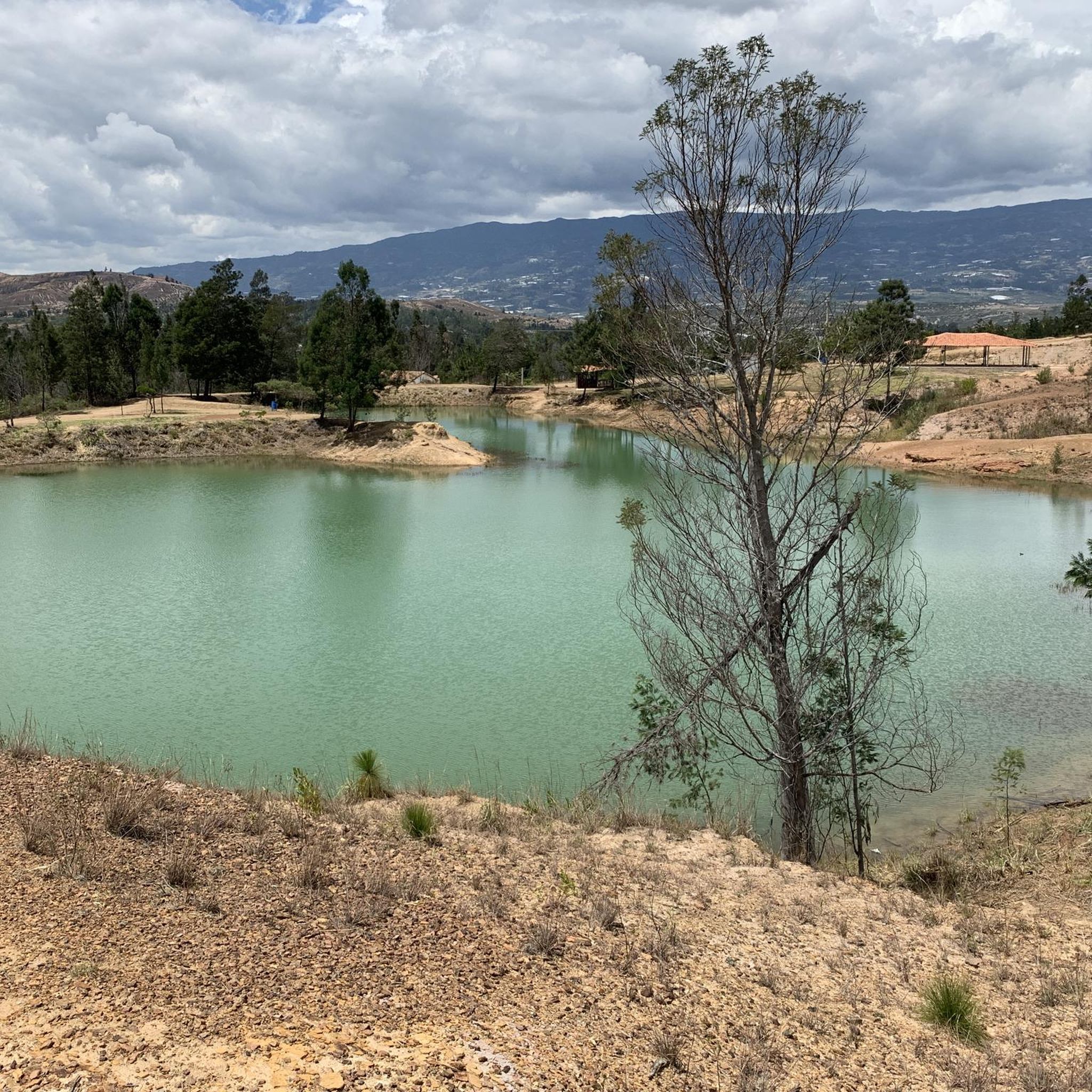
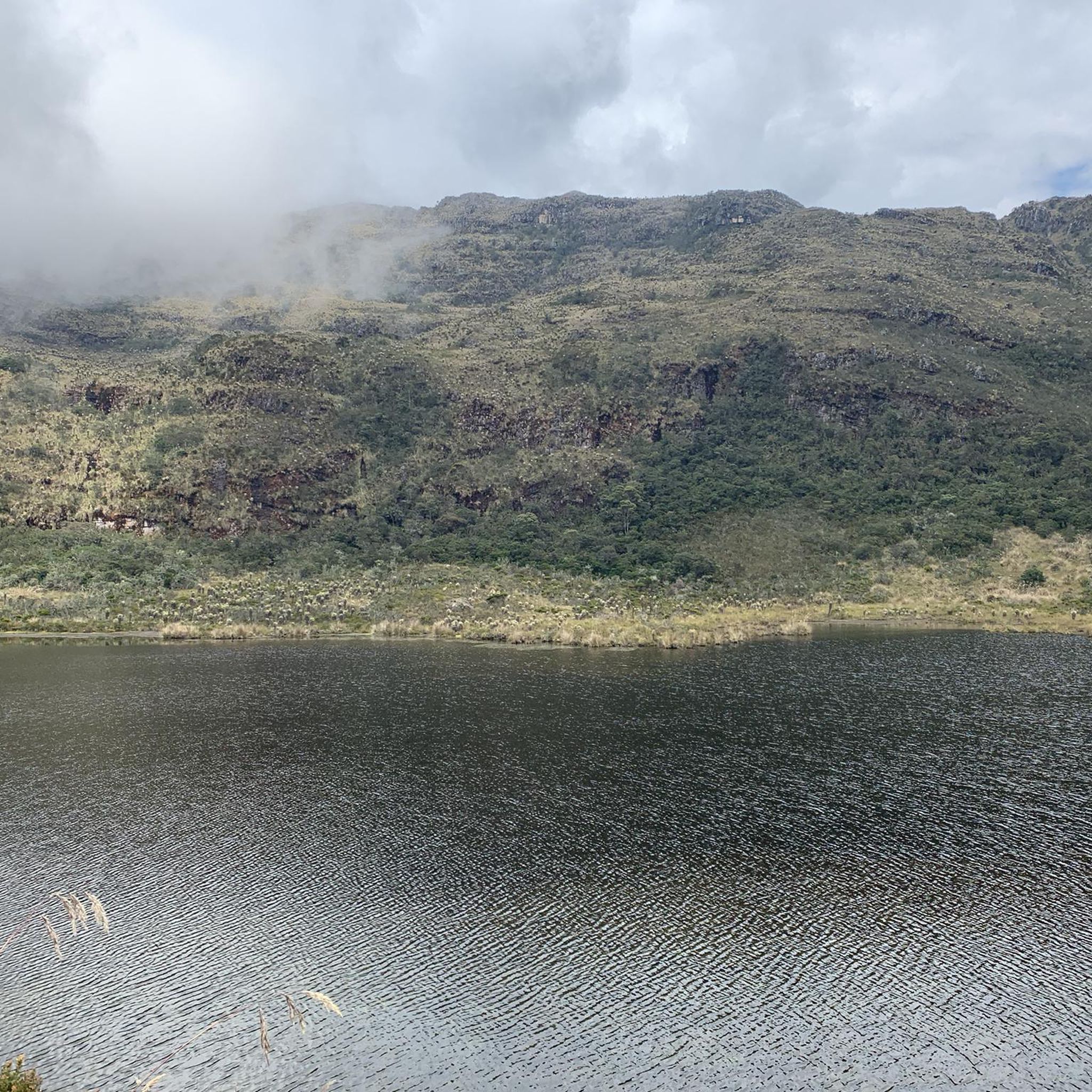
Touring cycling in Santuario De Fauna Y Flora Iguaque offers routes through a natural sanctuary characterized by varied terrain and significant elevation changes. The region features landscapes that include high-altitude Andean forests, sub-Andean forests, and vast expanses of páramo. Roads can be unpaved, gravel, or rocky, providing challenging conditions for touring cyclists. Elevations range from 2,400 to 3,800 meters above sea level, ensuring substantial climbs and descents.
Best touring cycling routes in Santuario De Fauna Y Flora Iguaque
- The most…
Last updated: July 1, 2026
5.0
(1)
22
riders
53.1km
05:02
1,170m
1,170m
Hard bike ride. Very good fitness required. Mostly paved surfaces. Suitable for all skill levels.
5.0
(1)
30
riders
88.6km
06:08
1,520m
1,520m
Hard bike ride. Very good fitness required. Mostly paved surfaces. Suitable for all skill levels.

Sign up for free
5.0
(3)
22
riders
31.4km
02:54
560m
560m
Hard bike ride. Very good fitness required. Mostly paved surfaces. Suitable for all skill levels.
4.0
(1)
19
riders
48.5km
03:01
490m
490m
Hard bike ride. Very good fitness required. Mostly paved surfaces. Suitable for all skill levels.
5.0
(6)
15
riders
26.8km
01:53
390m
390m
Moderate bike ride. Good fitness required. Mostly paved surfaces. Suitable for all skill levels.
Get access to more routes and recommendations from other explorers.
Sign up for free
Already have an account?
Our route recommendations are based on thousands of hikes, rides, and runs completed by other people on komoot.
Start today with a free account
Your next adventure awaits.
Login or Signup

Tips from the Community

Their clay crafts are very varied
0
0
It is located 20 kilometers from Villa de Leyva, Boyacá, Colombia; you pass through the towns of Sáchica and Sutamarchán (exquisite sausages with arepa) and arrive at Tinjacá. The bicycle monument is 500 meters ahead, at the top of a hill. If you arrive by bicycle, there is a discount on the entrance ticket.
0
0
Cycling enthusiasts will find dozens of bicycles forming a lane of honor for visitors; there are several photo ops, including giant sneakers and an enormous helmet; and at the top, a very, very large bicycle.
0
0
500 meters from Tinjacá, a town in Boyacá, Colombia.
0
0


Lovely village with a big courtyard, plenty of restaurants and hotels available. A calm place to take a rest day.
1
0
Frequently Asked Questions
What is the general difficulty level of touring cycling routes in Santuario De Fauna Y Flora Iguaque?
The routes in Santuario De Fauna Y Flora Iguaque are predominantly challenging, with 34 out of 53 routes rated as difficult. These often feature significant elevation changes. There are also 18 moderate routes and 1 easy route available for those seeking less strenuous options.
Are there touring cycling routes suitable for beginners or families?
While most routes are rated difficult or moderate, there is at least one easy touring cycling route available. For families or beginners, it's advisable to check the elevation profile and distance of specific routes on komoot to ensure they match your comfort level. The region's natural sanctuary environment often means varied terrain.
Do I need a permit to cycle in Santuario De Fauna Y Flora Iguaque?
As a designated 'Santuario De Fauna Y Flora' (Fauna and Flora Sanctuary), it is highly likely that permits or entrance fees are required to access certain areas, especially for activities like cycling. It's recommended to check the official website of the Colombian National Natural Parks (Parques Nacionales Naturales de Colombia) or local park authorities for the most current regulations before your visit.
What is the typical length and duration of touring cycling routes in the sanctuary?
Routes vary significantly. For example, the Colorful Bicycle Sculptures – Río Cane loop from Parqueadero is about 33 miles (53.1 km) and takes around 5 hours, while The town of Santa Sofia – Villa de Leyva loop from Villa de Leyva stretches 55.1 miles (88.6 km) and can take over 6 hours. Many routes involve substantial elevation gain, impacting the overall duration.
When is the best time of year to go touring cycling in Santuario De Fauna Y Flora Iguaque?
Given its location in the Colombian Andes, the region generally experiences two main seasons: a dry season and a rainy season. The dry season, typically from December to March and July to August, usually offers more stable weather conditions, making it ideal for touring cycling. However, always be prepared for sudden weather changes in mountainous terrain.
What kind of scenery and wildlife can I expect to see along the touring routes?
As a Fauna and Flora Sanctuary, you can expect diverse natural landscapes, including varied flora and potentially unique wildlife. The routes often traverse areas with significant elevation changes, offering panoramic views. Keep an eye out for local bird species and other animals native to the Andean ecosystem. The region is known for its natural beauty.
Are there any circular touring cycling routes in Santuario De Fauna Y Flora Iguaque?
Yes, many of the touring cycling routes in the area are designed as loops. Examples include the popular Colorful Bicycle Sculptures – Río Cane loop from Parqueadero and the Villa de Leyva – The town of Santa Sofia loop from Villa de Leyva, which allow you to start and end at the same point.
What should I wear for touring cycling in this region?
Due to the significant elevation changes and varied terrain, it's advisable to wear layers that can be adjusted for temperature fluctuations. Moisture-wicking clothing, a windbreaker or light rain jacket, and comfortable cycling shorts are recommended. Don't forget sun protection, as the high altitude can mean intense sun exposure.
Are there places to eat or resupply along the touring routes?
While specific cafes directly on every trail might be limited, routes often pass through or near towns like Villa de Leyva, which offer opportunities for food, water, and other supplies. For example, the Villa de Leyva – Ráquira loop from VILLA DE LEYVA connects these towns. It's always wise to carry sufficient water and snacks, especially on longer or more remote sections.
What do other touring cyclists enjoy the most about touring cycling in Santuario De Fauna Y Flora Iguaque?
The area is highly rated by the komoot community, with an average score of 4.9 stars from over 50 reviews. Reviewers often praise the diverse natural sanctuary environment, the challenging yet rewarding elevation changes, and the opportunity to explore varied landscapes. The routes offer a unique blend of natural beauty and physical challenge.
Is parking available for touring cyclists in the area?
Parking availability can vary depending on your starting point. For routes that begin near towns or specific attractions, designated parking areas are often available. For instance, the Río Cane – Colorful Bicycle Sculptures loop from Villa de Leyva starts from Villa de Leyva, which typically has parking options. It's best to research specific starting points for parking information.
Most popular routes in Santuario De Fauna Y Flora Iguaque

Get inspired with the komoot mobile app


Explore more
Browse the best Cycling routes in other regions.
