The best road cycling routes in Santuario De Fauna Y Flora Iguaque
4.9
(17)
752
riders
17
rides
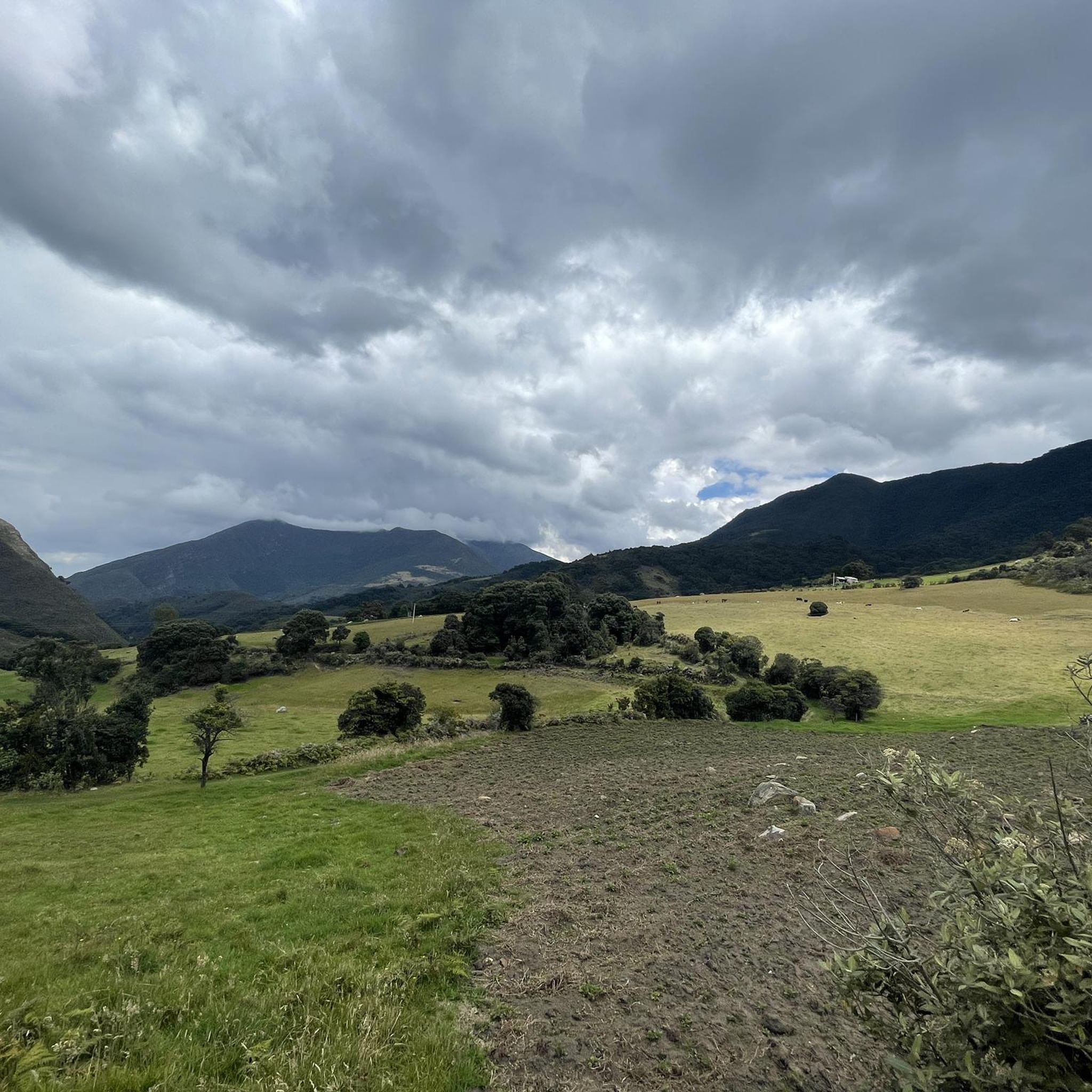
Road cycling routes in Santuario De Fauna Y Flora Iguaque traverse a region characterized by significant elevation changes, including numerous hills and challenging ascents. The terrain offers a mix of demanding climbs and scenic descents, typical of a natural park setting. Road cyclists can expect varied landscapes across this area in Boyacá.
Best road cycling routes in Santuario De Fauna Y Flora Iguaque
- The most popular road cycling route is Descent from Samacá to Sáchica – Alto de Sote loop…
Last updated: July 15, 2026
164
riders
138km
07:30
2,770m
2,780m
Hard road ride. Very good fitness required. Some segments of this route may be unpaved and difficult to ride.
5.0
(5)
100
riders
79.8km
04:10
1,440m
1,440m
Hard road ride. Very good fitness required. Mostly well-paved surfaces and easy to ride.

Sign up for free
75
riders
40.5km
01:59
560m
560m
Moderate road ride. Good fitness required. Mostly well-paved surfaces and easy to ride.
5.0
(2)
36
riders
55.2km
02:52
940m
940m
Hard road ride. Very good fitness required. Mostly well-paved surfaces and easy to ride.
34
riders
55.5km
02:45
860m
860m
Moderate road ride. Good fitness required. Mostly well-paved surfaces and easy to ride.
Get access to more routes and recommendations from other explorers.
Sign up for free
Already have an account?
Our route recommendations are based on thousands of hikes, rides, and runs completed by other people on komoot.
Start today with a free account
Your next adventure awaits.
Login or Signup
Popular around Santuario De Fauna Y Flora Iguaque

Tips from the Community

Good start, ideally choose a day with good weather and little truck traffic, because between the dual carriageway and Samacá, the road narrows. Nice landscapes, and a VERY pedalable slope.
0
0

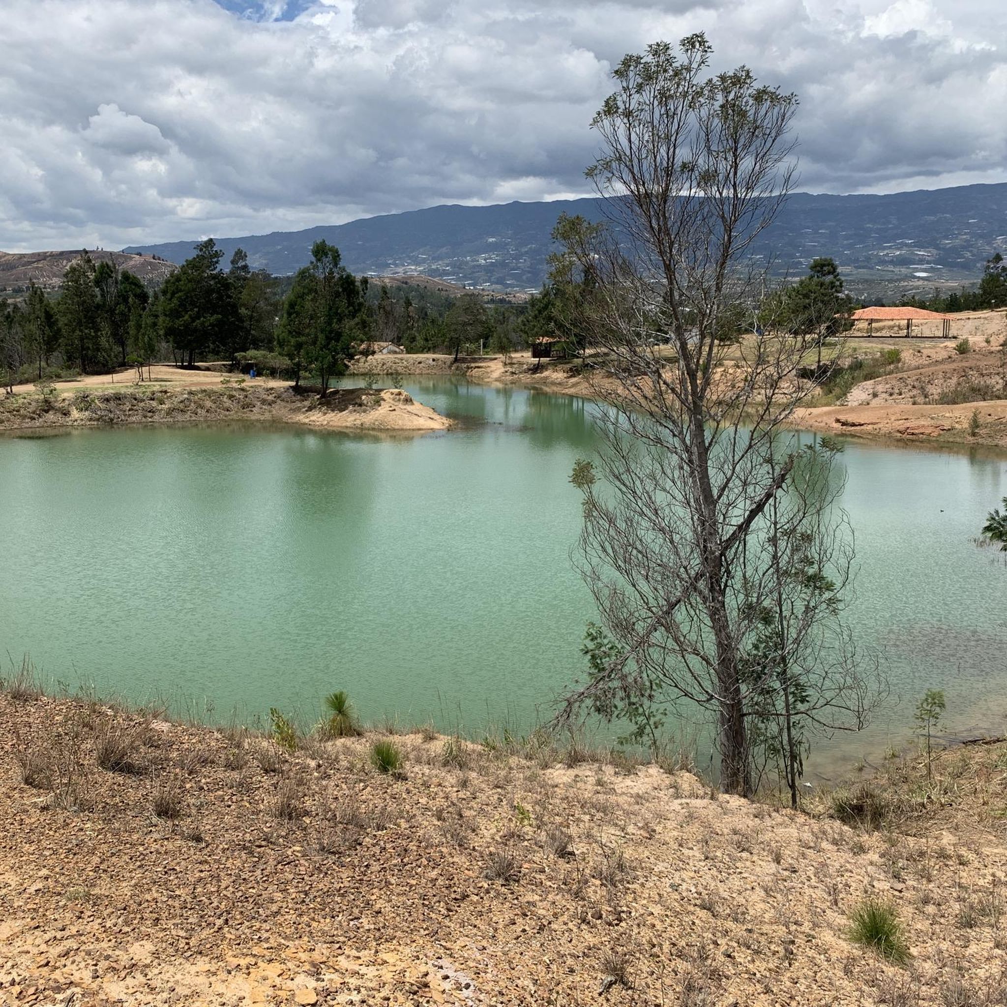
This is where you can really see the changing tone of the mountains and its elevation drops to 2000 meters above sea level, it is the descent from the toll to Sachica, the municipality near Villa de Leyva, farmland, vineyards and clay for the manufacture of materials and clay pottery.
0
0


great climb towards Chiquinquirá. continuous slope. another option not to do the classic to Raquira from Villa de Leyva
0
0
Frequently Asked Questions
How many road cycling routes are available in Santuario De Fauna Y Flora Iguaque?
There are over 15 road cycling routes documented on komoot within Santuario De Fauna Y Flora Iguaque, offering a range of experiences for different skill levels.
What is the best time of year for road cycling in Santuario De Fauna Y Flora Iguaque?
The region generally experiences two main seasons: a dry season from December to March and July to August, and a rainy season from April to June and September to November. For road cycling, the dry season typically offers more predictable weather and clearer roads, making it the most favorable time to visit.
Are there easy road cycling routes suitable for beginners or families in Santuario De Fauna Y Flora Iguaque?
While many routes in Santuario De Fauna Y Flora Iguaque feature significant climbs, there is at least one easy route available. For families or beginners, it's advisable to choose routes with minimal elevation gain and shorter distances. Always check the route's difficulty and profile before setting out.
What kind of terrain and challenges can I expect on road cycling routes in Santuario De Fauna Y Flora Iguaque?
Road cycling in Santuario De Fauna Y Flora Iguaque is characterized by significant elevation changes, including numerous hills and challenging ascents. You can expect varied landscapes, from demanding climbs to scenic descents, typical of a natural park setting in Boyacá.
Are there advanced or difficult road cycling routes for experienced cyclists?
Yes, the region is well-suited for experienced cyclists seeking a challenge. Many routes feature substantial climbs and descents. For instance, the Descent from Samacá to Sáchica – Alto de Sote loop from Villa de Leyva is a difficult 85.5-mile route with significant elevation changes, including the notable Alto de Sote.
Are there loop road cycling routes in Santuario De Fauna Y Flora Iguaque?
Yes, several popular road cycling routes in the area are loops. Examples include the challenging Central Park loop from Villa de Leyva and the moderate Alto El Espino loop from Villa de Leyva, which offers hilly landscapes.
What should I pack for a road cycling trip in Santuario De Fauna Y Flora Iguaque?
Given the varied terrain and elevation changes, it's advisable to pack layers of clothing suitable for different temperatures. Essential items include a helmet, appropriate cycling attire, water, snacks, a repair kit, sun protection, and rain gear, especially during transitional seasons. A GPS device or a downloaded komoot tour is also highly recommended for navigation.
What do other road cyclists enjoy most about road cycling in Santuario De Fauna Y Flora Iguaque?
The area is highly rated by the komoot community, with an average score of 4.9 stars. Reviewers often praise the challenging climbs, rewarding descents, and the varied, scenic terrain that makes for a substantial workout and an immersive experience in the natural park.
Are there any specific permits required for road cycling within Santuario De Fauna Y Flora Iguaque?
While general road cycling on public roads typically doesn't require specific permits, access to certain protected areas or trails within the Santuario De Fauna Y Flora Iguaque might. It's always best to check with local park authorities or official tourism offices for the most current regulations before planning your ride, especially if you intend to deviate from main roads.
Where can I find parking or access points for road cycling routes?
Many routes, such as those starting from Villa de Leyva, offer convenient access. Villa de Leyva itself is a popular base with various parking options available in and around the town. For specific routes, checking the tour details on komoot often provides information on starting points and potential parking areas.
Can I expect to see wildlife or enjoy scenic viewpoints along the road cycling routes?
As a natural park, Santuario De Fauna Y Flora Iguaque is home to diverse flora and fauna. While road cycling, you might encounter various bird species and other local wildlife, especially in quieter sections. The routes often traverse scenic landscapes, providing numerous opportunities for panoramic views of the Boyacá region's hills and valleys.
Are there any other challenging routes besides the Alto de Sote loop?
Absolutely. Another demanding option is the La Cabrera Hill – Colina Arboledas loop from Villa de Leyva, a difficult 88.4-mile route that also features significant elevation gains and offers a rigorous workout for experienced cyclists.
Most popular routes in Santuario De Fauna Y Flora Iguaque

Get inspired with the komoot mobile app


Explore more
Browse the best Road cycling routes in other regions.
