The best road cycling routes in Parque Natural Regional Unidad Biogeográfica Siscunsí Ocetá
4.7
(28)
815
riders
1
ride
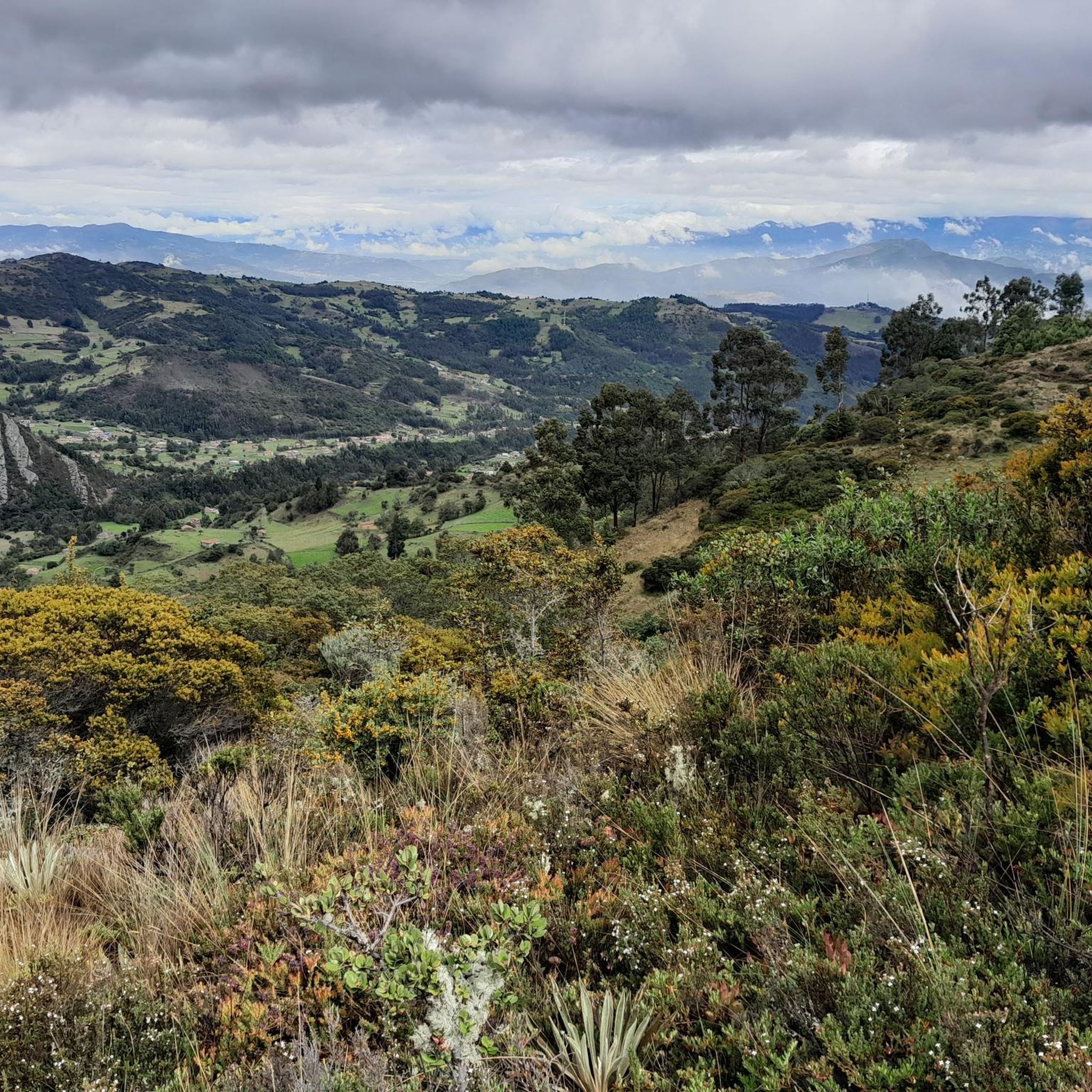
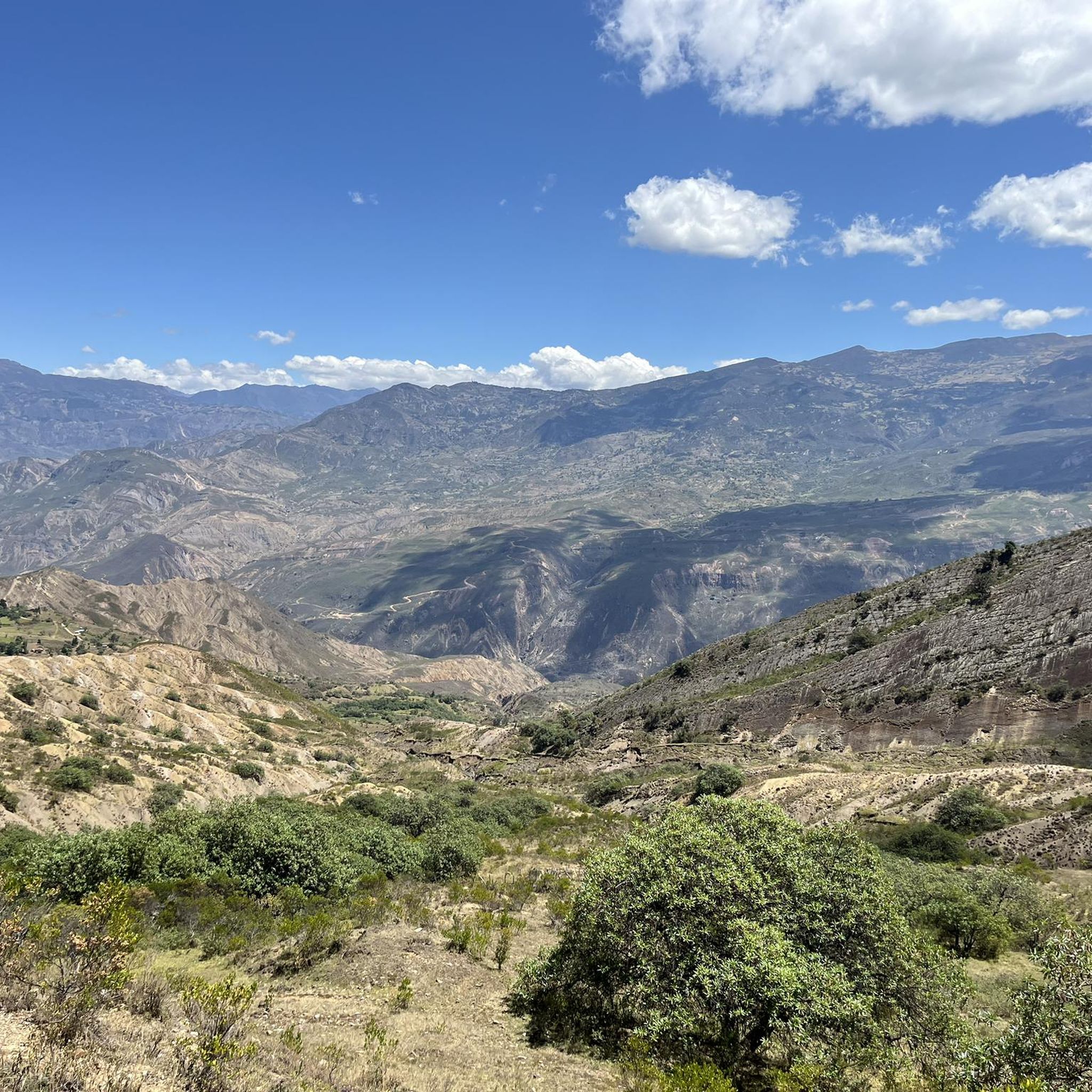
Road cycling in Parque Natural Regional Unidad Biogeográfica Siscunsí Ocetá offers routes through high-mountain landscapes in the Eastern Cordillera of the Andes. The region is characterized by expansive páramo ecosystems, including the páramos of Toquilla, Siscunsí, Ocetá, and San Ignacio, featuring unique high-altitude flora like frailejones. Road cycling routes in the area present challenging terrain with significant elevation changes, providing access to views of high-Andean forests and natural formations. The park's altitude reaches nearly 4,000 meters above sea level in…
Last updated: July 15, 2026
5.0
(1)
45
riders
57.5km
03:25
1,320m
1,320m
Hard road ride. Very good fitness required. Mostly well-paved surfaces and easy to ride.
25
riders
22.8km
00:54
110m
110m
Easy road ride. Great for any fitness level. Mostly well-paved surfaces and easy to ride.

Sign up for free
5.0
(4)
120
riders
87.9km
04:33
1,020m
1,020m
Hard road ride. Very good fitness required. Some segments of this route may be unpaved and difficult to ride.
4.3
(3)
102
riders
61.6km
03:14
510m
510m
Moderate road ride. Good fitness required. Some segments of this route may be unpaved and difficult to ride.
5.0
(3)
52
riders
35.3km
01:49
540m
540m
Moderate road ride. Good fitness required. Mostly well-paved surfaces and easy to ride.
Our route recommendations are based on thousands of hikes, rides, and runs completed by other people on komoot.
Start today with a free account
Your next adventure awaits.
Login or Signup
Popular around Parque Natural Regional Unidad Biogeográfica Siscunsí Ocetá
Tips from the Community

I did it by diverting onto an unpaved route from Santa Rosa de Viterbo, a good option if you want to avoid traffic on the main road, however, it is recommended on MTB or Gravel.
0
0

Central park with a beautiful cathedral in the center of Bethlehem.
0
0
Summit between the municipalities of Santa Rosa de Viterbo and Belén. Elevation close to 3000 meters above sea level
0
0
Beautiful park in the municipality of Belén.
0
0
Stop between the municipalities of Santa Rosa de Viterbo and Cerinza. Elevation 2974 meters above sea level.
0
0
Representative place where you can find several establishments that offer mojicones, mantecadas, genoas and other culinary foods of the region.
0
0
Playground in the Villa del Rosario sector. There are gym type machines.
0
0
Medieval castle-themed park. As of May 2023 it is practically abandoned. Even the playground is very run down.
0
0
Frequently Asked Questions
What makes road cycling in Parque Natural Regional Unidad Biogeográfica Siscunsí Ocetá a unique experience?
Road cycling in this region offers routes through stunning high-mountain landscapes within the Eastern Cordillera of the Andes. You'll encounter expansive páramo ecosystems, characterized by unique high-altitude flora like the iconic frailejones, which blanket the landscape in silver, yellow, and white hues. The challenging terrain with significant elevation changes provides breathtaking views of high-Andean forests and natural formations, making for a truly distinctive ride.
What kind of terrain and elevation can I expect on road cycling routes in this area?
The region is defined by its high-altitude páramo and significant elevation changes, with some areas reaching nearly 4,000 meters above sea level. This translates to challenging terrain and demanding climbs, offering an exhilarating experience for road cyclists seeking a physical test amidst stunning Andean vistas. Routes often feature constantly changing views of high-Andean forests and unique páramo vegetation.
Are there road cycling routes suitable for beginners in Parque Natural Regional Unidad Biogeográfica Siscunsí Ocetá?
While many routes in the region are challenging, there are options for varying ability levels. For instance, the El Guiol Grocery Store loop from Sogamoso is an easier 14.1-mile (22.8 km) route with minimal elevation gain, making it a good choice for those new to road cycling in the area.
What are some of the most popular road cycling routes in the region?
Among the local favorites, the Lake Tota – Alto del Crucero loop from Hotel Decameron - Refugio Santa Ines is a popular choice, covering 35.7 miles (57.5 km) with over 4,300 feet (1,300 meters) of elevation gain. Another highly-rated option is the Garden View in Colombia – Alto del Portachuelo loop from Sogamoso, a difficult 54.6-mile (87.9 km) path with over 3,300 feet (1,000 meters) of ascent.
Are there any notable natural attractions or viewpoints accessible from road cycling routes?
While road cycling primarily focuses on the access roads and surrounding areas, the region itself is rich in natural beauty. You can expect panoramic views of the páramo and high-Andean forests. Notable natural features within the broader park area include the Valle de los Frailejones, Ciudad de Piedra, Laguna Negra, and Siscunsí Lagoon, which offer stunning sights, though direct road cycling access to all these specific points might be limited to trails.
What do other road cyclists enjoy most about road cycling in Parque Natural Regional Unidad Biogeográfica Siscunsí Ocetá?
The area is highly rated by the komoot community, with an average score of 4.7 stars from more than 20 reviews. Road cyclists often praise the stunning high-mountain landscapes, the unique páramo ecosystems with their distinctive flora, and the challenging yet rewarding climbs that offer unparalleled views of the Andean region.
What is the best season for road cycling in the Boyacá páramo region?
The climate in this high-altitude region is unique, with temperatures ranging from 0°C at night to 17°C during the day. Weather can be unpredictable, changing rapidly from sun to rain. It's advisable to check local forecasts before your ride and be prepared for varying conditions regardless of the season, as the páramo climate is consistently cool and can be wet.
Are there any regulations or restrictions for cyclists within the Parque Natural Regional Unidad Biogeográfica Siscunsí Ocetá?
The park is committed to conservation, promoting a pristine environment. Visitors are encouraged to stay on marked trails to preserve the delicate ecosystems. While road cycling is enjoyed on the access roads and surrounding areas, direct access into the most sensitive páramo zones might be restricted to hiking or specific mountain biking trails. Consumption of alcoholic beverages and psychoactive substances is prohibited within the park.
Can I find circular road cycling routes in the area?
Yes, many of the routes in the region are designed as loops, allowing you to start and end in the same location. Examples include the Tibasosa Ecological Park – Villa del Rosario Park loop from Sogamoso, a 38.3-mile (61.6 km) route, and the Gustavo Jiménez School – Panadería Vad's Castro loop from Sogamoso, which is 21.9 miles (35.3 km).
What towns are good starting points for road cycling near Parque Natural Regional Unidad Biogeográfica Siscunsí Ocetá?
Towns like Sogamoso, Monguí, and Mongua serve as excellent starting points for exploring the region's road cycling routes. These towns provide access to the paved or well-maintained unpaved roads that lead towards the park and offer a variety of routes through the surrounding Andean landscapes.
How many road cycling routes are available in Parque Natural Regional Unidad Biogeográfica Siscunsí Ocetá?
There are several road cycling routes available in and around Parque Natural Regional Unidad Biogeográfica Siscunsí Ocetá. Komoot currently lists 5 routes, offering a range of distances and difficulties for cyclists to explore the region's unique high-mountain terrain.
Most popular routes in Parque Natural Regional Unidad Biogeográfica Siscunsí Ocetá

Get inspired with the komoot mobile app


Explore more
Browse the best Road cycling routes in other regions.
