The 7 Most Amazing Peaks around Glandorf
Mountain peaks around Glandorf are primarily located in the nearby Teutoburg Forest, as Glandorf itself is situated in a region with relatively low elevation. The municipality of Glandorf in Lower Saxony, Germany, has a highest point of around 70 meters. The surrounding area offers higher elevations and scenic routes, providing opportunities for exploring natural landscapes and historical landmarks. This region features geological formations and an extensive network of trails.
Best mountain peaks around Glandorf
- The most popular mountain peaks is…
Last updated: October 2, 2026
Hermannsturm on the Dörenberg
Highlight • Viewpoint
Translated by Google •
Tip by

Hermannsturm lookout tower
Highlight • Viewpoint
Translated by Google •
Tip by
Sign up now to discover places like this
Get recommendations on the best single tracks, peaks, & plenty of other exciting outdoor places.
Grafensundern Forest Trail
Highlight • Trail
Translated by Google •
Tip by

View from Westerbecker Berg and Alex Schotte Hut
Highlight • Viewpoint
Translated by Google •
Tip by

Baumannsknollen (245 m)
Highlight • Summit
Translated by Google •
Tip by
Sign up for free to discover even more peaks around Glandorf.
Already have an account?
Start today with a free account
Your next adventure awaits.
Popular around Glandorf
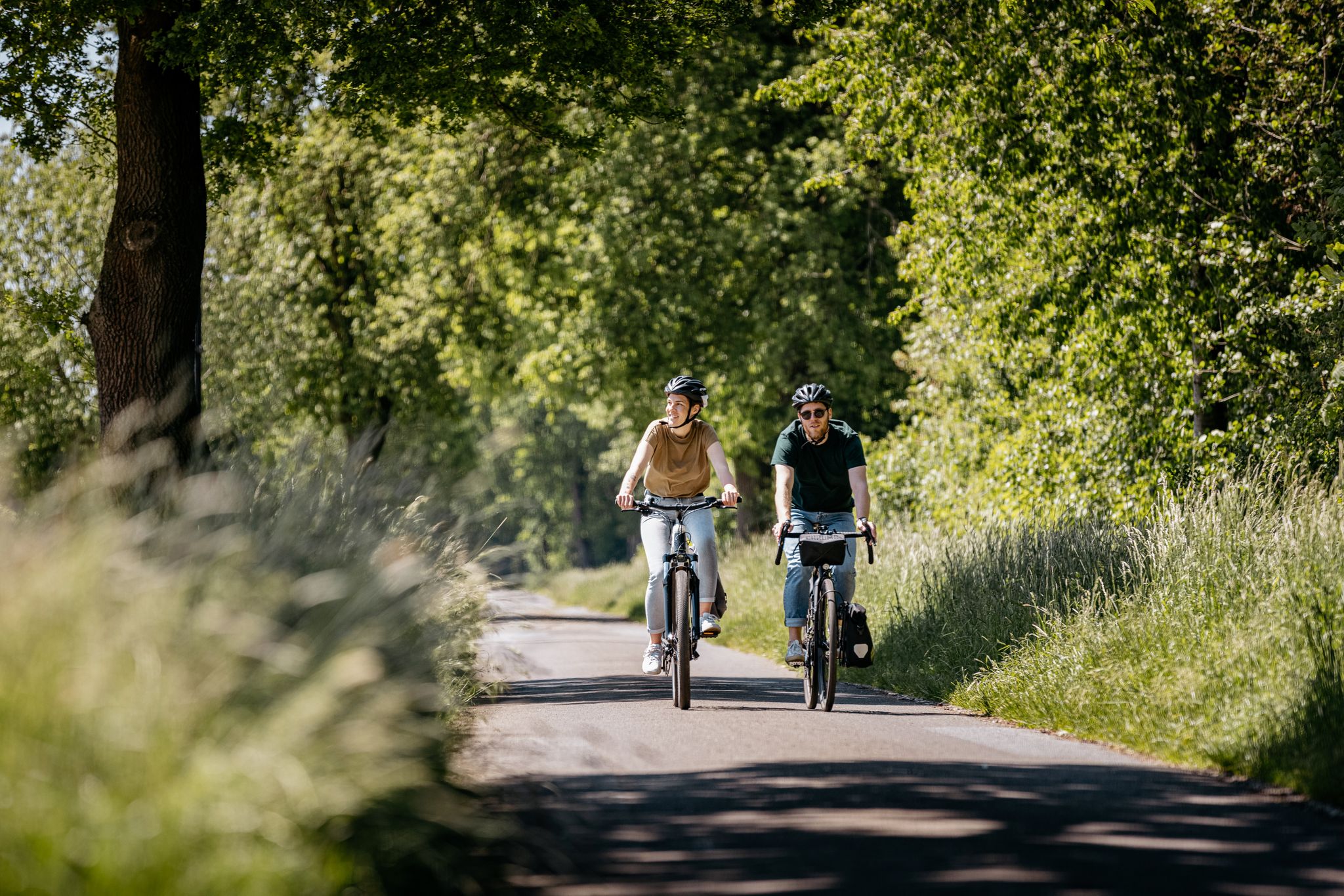
Along the Border – cycling between Teutoburg Forest and Ems
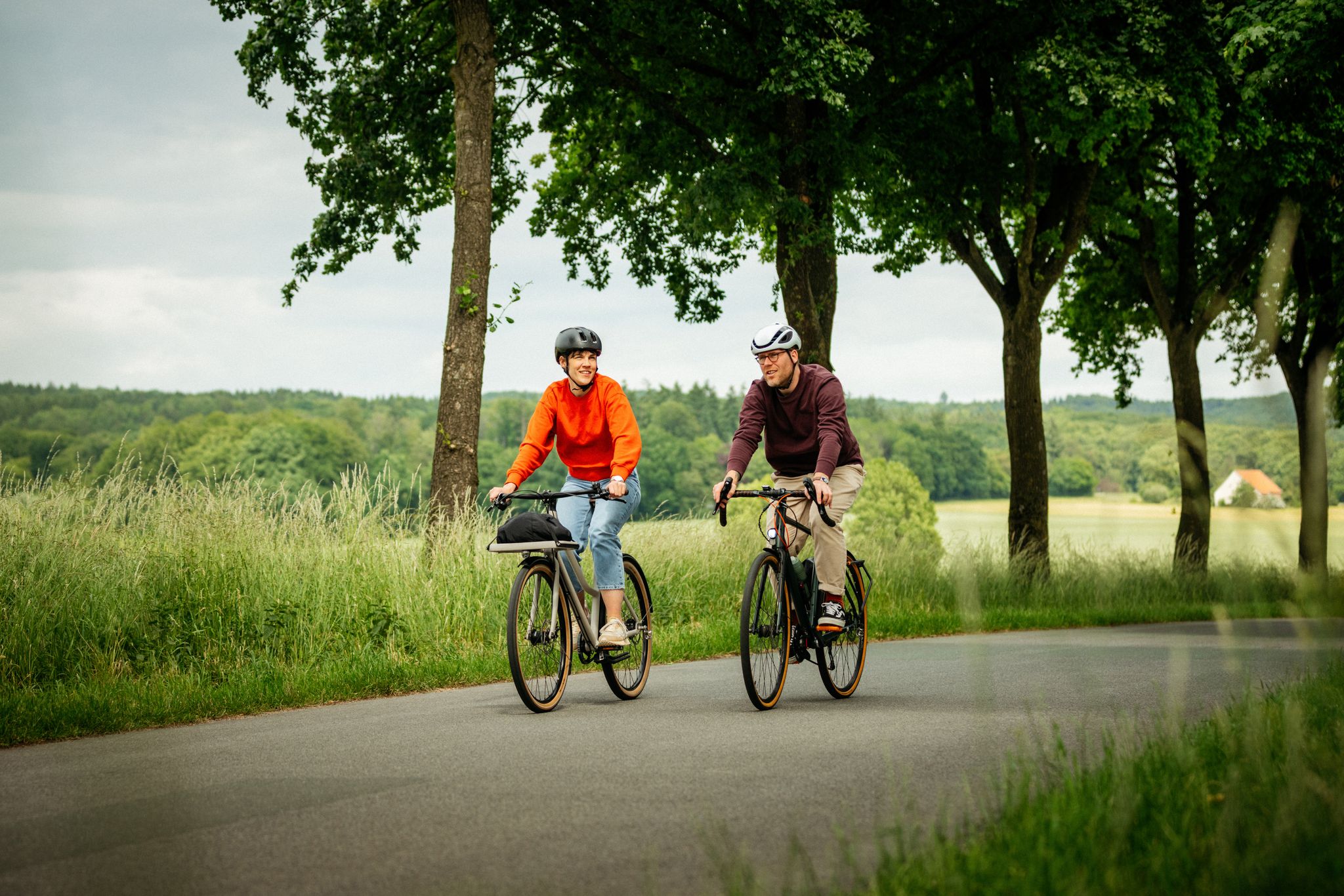
Day trips in the Osnabrück region – Exciting southeast
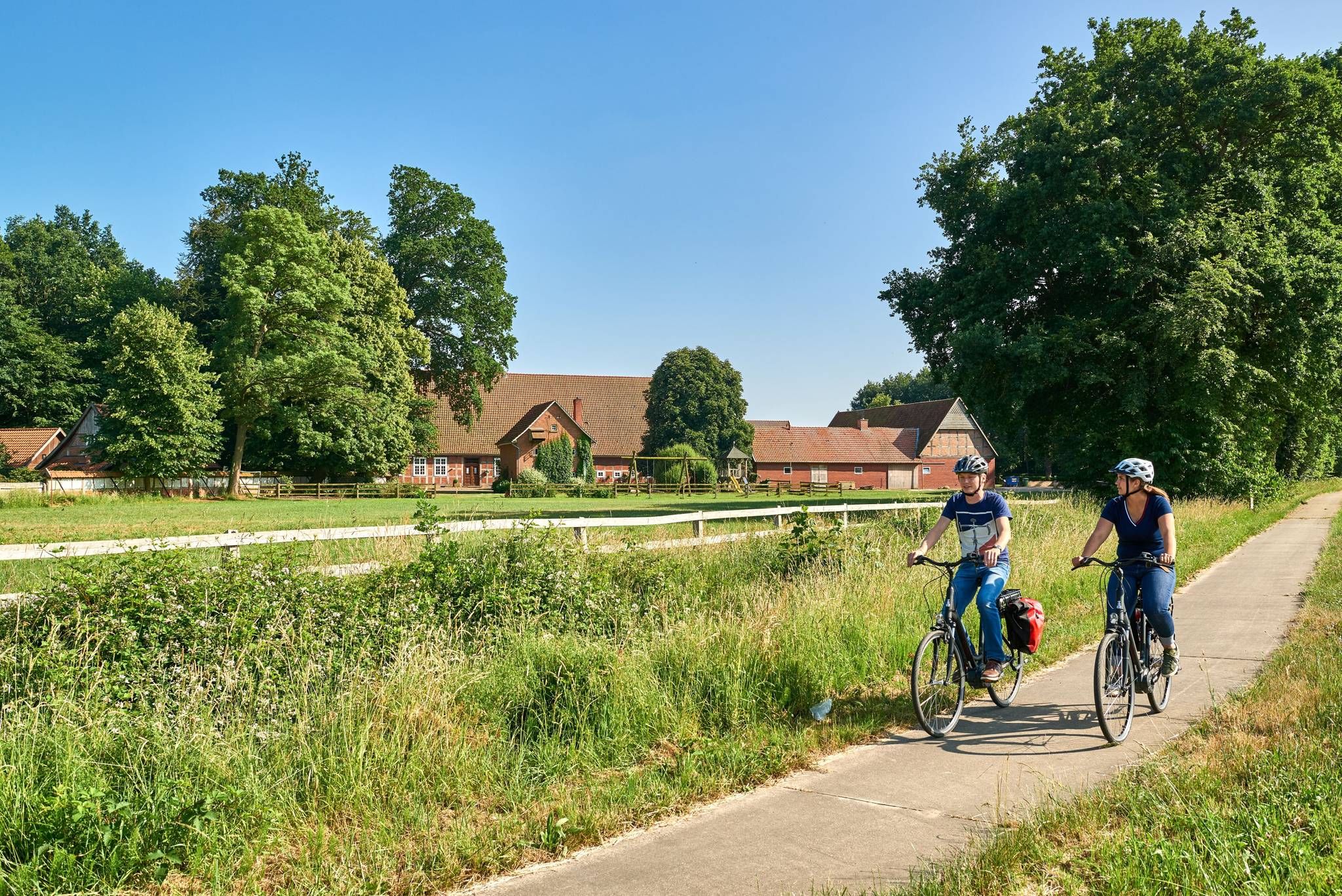
Castles, mills & timber-framed houses – Osnabrück Land
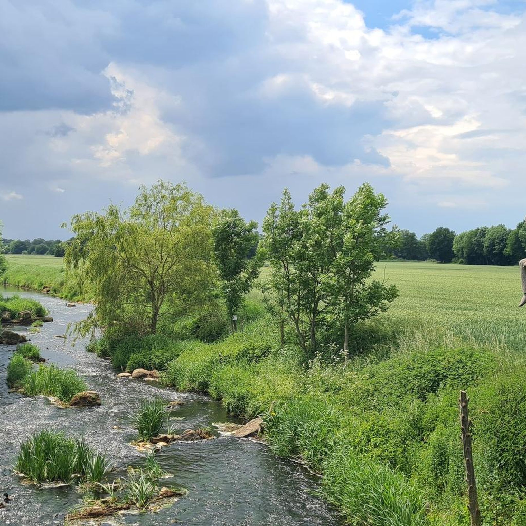
Cycling around Glandorf
Road Cycling Routes around Glandorf
Hiking around Glandorf
Running Trails around Glandorf
MTB Trails around Glandorf

Gravel biking around Glandorf
Other adventures around Glandorf

Tips from the Community

Given this height, it is not surprising that there is also a tower with transmitting and receiving antennas here.
0
0

The hike from Oesede Süd - Brunnen car park - to the Hermannsturm on the Dörenberg and further on the ridge path towards Achter de Welt, from there to the Baumanns Knollen refuge and then towards the Varusturm is also nice.
0
0
MAGNIFICENT views towards the north of Osnabrück and the Wiehengebirge.
1
0

At the Baumannsknollen there is a bench for a short break.
2
0
The Baumannsknollen⛰️is one of the 6 mountains near Alt-Georgsmarienhütte and is 245m above sea level.
2
0
The Grafensundern is 314.9 m above sea level. NHN[1] after the Dörenberg (331.2 m) the second highest mountain in the Iburg Forest, a foothill of the Teutoburg Forest. It belongs to the municipality of Hagen am Teutoburg Forest in the Lower Saxony district of Osnabrück.
5
0
Beautiful hiking trail on top of the Grafensundern⛰️
5
0

A very large hiker's hut with many wind and weather-protected seats. Nice view from here.
3
0
Frequently Asked Questions
Where can I find mountain peaks around Glandorf?
While Glandorf itself is in a low-elevation area, the mountain peaks are primarily found in the nearby Teutoburg Forest. This region offers higher elevations and scenic routes for exploration.
What are some popular viewpoints near Glandorf?
Popular viewpoints include the Hermannsturm lookout tower, which offers extensive panoramic views. Another highly rated spot is Hermannsturm on the Dörenberg, known for its great views, especially at sunset, overlooking Georgsmarienhütte up to Osnabrück.
Are there any family-friendly mountain peaks or viewpoints in the area?
Yes, the View from Westerbecker Berg and Alex Schotte Hut is considered family-friendly. It's the highest point in Münsterland and offers a beautiful view of the Osnabrück region, complete with a listening station for children.
What kind of natural features can I expect to see on these peaks?
The peaks around Glandorf, particularly in the Teutoburg Forest, feature dense forests and offer geological formations. You'll find scenic trails, viewpoints, and summits that provide magnificent views over the surrounding landscapes, including towards Osnabrück and the Wiehengebirge.
What hiking opportunities are available near Glandorf's peaks?
There are numerous hiking opportunities. For example, the Grafensundern Forest Trail offers a beautiful hiking experience on the second highest mountain in the Iburg Forest. You can find more hiking routes in the area by visiting our Hiking around Glandorf guide.
Can I go mountain biking near these peaks?
Yes, the region around Glandorf and the Teutoburg Forest offers various mountain biking trails. You can explore routes like those around the Hermannsturm on the Dörenberg. For a comprehensive list of trails, check out our MTB Trails around Glandorf guide.
Are there any challenging climbs for experienced hikers or cyclists?
The Dörenberg climb via Ursberg offers a challenging ascent to the highest elevation in the central part of the Teutoburg Forest. While parts are paved and suitable for road bikes, some sections have poorer surfaces, requiring caution, especially on descents.
What historical landmarks are near the mountain peaks around Glandorf?
While the peaks themselves are natural features, the broader region around Glandorf is known for historical landmarks such as the Glandorf Windmill and ancient churches. The nearby Teutoburg Forest also has historical significance.
What do visitors particularly enjoy about the peaks around Glandorf?
Visitors frequently praise the extensive and magnificent views from various viewpoints, especially from the lookout towers and summits like the Hermannsturm on the Dörenberg and Grafensundern Forest Trail. The diverse trails and the natural beauty of the forest are also highly appreciated.
Are there any specific tips for visiting the Hermannsturm lookout tower?
The Hermannsturm lookout tower offers excellent views. However, visitors have noted that it can sometimes be locked, so it's advisable to check local conditions or opening times if possible before planning your visit specifically for tower access.
What is the highest point in the Iburg Forest near Glandorf?
The Dörenberg is the highest point in the Iburg Forest, reaching 331.2 meters above sea level. The Grafensundern Forest Trail is on the second highest mountain in the Iburg Forest, at 314.9 meters.
Most popular routes around Glandorf
Most popular attractions around Glandorf

Get inspired with the komoot mobile app


Explore more
See even more amazing summits around Glandorf with these guides:
