The best MTB trails around Hörschhausen
4.6
(1575)
5,572
riders
436
rides
Mountain biking around Hörschhausen offers diverse terrain shaped by ancient volcanic activity, including craters, lava flows, and deep blue maar lakes. The region features significant elevation changes, with nearby hills providing challenging climbs and rewarding views. Dense forests and river valleys, such as those along the Ueßbach, create varied riding conditions with shaded trails and open meadows. This landscape provides a mix of technical sections and scenic routes for mountain bikers.
Best mountain bike trails around Hörschhausen
- The most popular…
Last updated: May 18, 2026
4.9
(19)
88
riders
Moderate mountain bike ride. Good fitness required. Advanced riding skills necessary.
4.6
(24)
67
riders
36.2km
03:05
630m
630m
Moderate mountain bike ride. Good fitness required. Advanced riding skills necessary.

Sign up for free
4.8
(35)
53
riders
46.3km
03:18
580m
580m
Moderate mountain bike ride. Good fitness required. Advanced riding skills necessary.
4.5
(30)
89
riders
36.1km
02:52
550m
550m
Moderate mountain bike ride. Good fitness required. Advanced riding skills necessary.
4.7
(6)
28
riders
31.6km
02:10
390m
400m
Moderate mountain bike ride. Good fitness required. Suitable for all skill levels.
Get access to more routes and recommendations from other explorers.
Sign up for free
Already have an account?
Our route recommendations are based on thousands of hikes, rides, and runs completed by other people on komoot.
Start today with a free account
Your next adventure awaits.
Login or Signup
Tips from the Community

The urge to "immerse oneself in nature" is not a modern trend that we humans of the 21st century are letting ourselves be led into – for example, with the komoot tour planner – but is based on much older behaviors and the ancient knowledge that it simply does good. Already in a "little book of reminders" written by Peter Rosegger (1843 to 1918), the exhortation reads: "We must once again properly bring out our healthy limbs and immerse ourselves in nature, rediscovering within ourselves the lost strengths that are ours. That... makes you fresh, makes you strong, and makes you wise. You learn a lot from it, especially how to live simply and become cheerful."
0
0

The Stellwerk, a wine tavern and restaurant, has been located in the old train station in Monreal since 1992. Here, hearty, freshly prepared dishes and regional as well as international wines are offered in a cozy atmosphere.
2
0

What can I say, a very beautiful bridge, especially with nice paths ☀️👍🏽
1
0

Be really careful when it's wet
0
0

Zum Semersberg s. z.B. https://www.geopark-vulkaneifel.de/eifel/landschaft/aussichtspunkte/eifel-blick-semersberg.html
0
0

The Ulmen Maar lies 420 meters above sea level today, covers an area of 5.5 hectares, and is 36 meters deep. The bubbles at the maar's edge demonstrate that volcanism is still active. They bear witness to a turbulent past—but rest assured, there's no eruption in sight! A wall of various rocks and ash, up to 20 meters thick, surrounds the cone. For those interested, these testimonies to this explosive past are beautifully displayed in St. Matthias Church. This unique wall, with its different colored layers and rounded inclusions, is worth seeing for more than just geologists. The slopes of the maar basin are covered with a beautiful forest, which can be explored on a circular walk. A detour to the medieval castle ruins, from which the Crusaders once launched their campaigns, is recommended. The view from the crater rim over the maar and the Eifel beyond will take your breath away. Whether after a sweaty hike or a long drive, the blue of the Ulmer Eifel lake is all too tempting in summer. However, bathing in the maar is prohibited because it is designated as a nature and water protection area.
6
0
The lower castle has completely disappeared. You can still see the beginning of the ring that connected the lower castle and the Ulmen city wall, a two-story outer wall of the palace, as well as a cistern and some foundation walls of other buildings. The old part of Ulmen Castle was built around 1074 AD and likely rests on the remains of a Roman settlement. In the Middle Ages, Ulmen Castle was further expanded and divided into the upper castle, whose remains of the walls still exist, and the lower castle, which extended to the banks of the maar river. Two knightly families lived in the castle, which is believed to have never been attacked or destroyed until 1673 due to its size. Only the Sun King's troops succeeded. It was rebuilt, but fell again in 1689 during the War of the Succession. However, Ulmen Castle was also rebuilt this time, with only the city wall being abandoned. With the invasion of Napoleon's soldiers, Ulmen also became French and later Prussian. The empty castle, whose last descendant died in 1801, was auctioned to a merchant from Cochem, who sold it as a quarry. When a devastating fire burned Ulmen to the ground in the 19th century, the residents of Ulmen rebuilt their houses with stones from the castle. That's why you can still see a coat of arms on some of the stables today. It wasn't until the early twentieth century that Ulmen Castle was declared a listed building and became the property of the municipality of Ulmen. The castle is always freely accessible.
7
0

Even in autumn and winter, the Dronketurm offers a stunning view over the Gemündener Maar to the Ernstberg. Hidden away below the Dronketurm (Mouse Tower) is the old Karl Kaufmann Bank.
0
0
Frequently Asked Questions
How many mountain bike trails are available around Hörschhausen?
There are over 440 mountain bike trails available around Hörschhausen, catering to a wide range of skill levels. The komoot community has highly rated these routes, with an average score of 4.6 stars from over 1,300 reviews.
What kind of terrain can I expect on mountain bike trails in Hörschhausen?
Mountain biking in Hörschhausen offers diverse terrain shaped by ancient volcanic activity. You'll encounter areas with volcanic craters, lava floors, and deep blue maar lakes. The region also features significant elevation changes, dense forests, and river valleys, providing a mix of technical sections, shaded forest trails, and open meadows.
Are there mountain bike trails suitable for beginners in Hörschhausen?
Yes, Hörschhausen offers a good selection of trails suitable for beginners. There are over 90 easy mountain bike routes in the area, perfect for those looking for a less challenging ride.
What natural features or landmarks can I see while mountain biking near Hörschhausen?
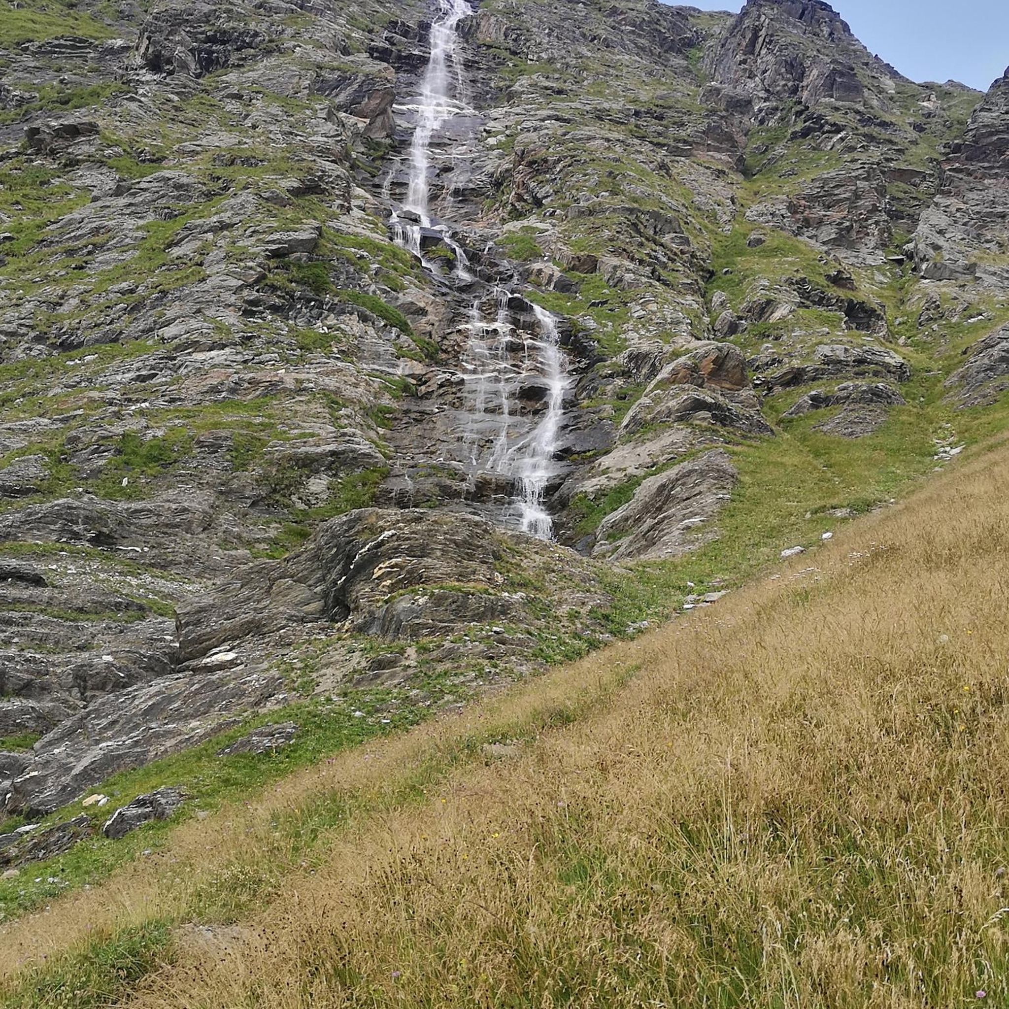
Many trails in Hörschhausen pass by unique natural features and landmarks. You can explore volcanic maars like the Gemündener Maar and Schalkenmehrener Maar. Some routes also lead past waterfalls, such as the one featured on the Slate Quarry Near Laienkaul – The Rausch Waterfall loop from Berenbach.
Are there any specific viewpoints or scenic spots along the trails?
Absolutely. The volcanic landscape provides numerous panoramic views. For instance, the Dronke Tower on the Mäuseberg – View of the Weinfelder Maar loop from Berenbach offers stunning vistas of the volcanic maars and surrounding Eifel hills. Other notable viewpoints include the View of the Weinfelder Maar (Totenmaar) and the View of Totenmaar from the panoramic bench.
What do other mountain bikers enjoy most about the trails in Hörschhausen?
The trails in Hörschhausen are highly rated by the komoot community, with an average score of 4.6 stars. Reviewers often praise the diverse volcanic landscape, the challenging climbs with rewarding panoramic views, and the well-maintained network of trails that cater to various skill levels.
Are there any circular mountain bike routes in Hörschhausen?
Yes, many of the mountain bike routes around Hörschhausen are circular, offering convenient starting and ending points. Examples include the Monreal Signal Box – Obermühle Near Urmersbach loop from Berenbach and the Gemündener Maar – Großes Schlitzohr Tunnel loop from Berenbach.
What is the average length and duration of mountain bike trails in Hörschhausen?
The trails vary significantly in length and duration. Moderate routes, such as the Maiden Pond – Heilbachsee loop from Berenbach, can be around 24.5 miles (39.5 km) and take approximately 2 hours 40 minutes. Longer routes can extend up to 30 miles (48 km) or more, requiring over 5 hours to complete.
Can I find trails that pass by historical sites or castles?
Yes, the region around Hörschhausen is rich in history. While mountain biking, you might encounter historical points or even pass by castles. For example, you can find highlights like the Upper Castle of Ulmen or Dreis Castle in the wider area, which can be incorporated into your rides.
Are there any advanced or difficult mountain bike routes for experienced riders?
Hörschhausen offers 54 difficult mountain bike routes for experienced riders seeking a challenge. These trails often feature significant elevation gains, technical sections, and unpaved paths that may require good fitness and advanced riding skills.
What is the best time of year for mountain biking in Hörschhausen?
The Vulkaneifel region is generally pleasant for outdoor activities from spring through autumn. Spring offers lush greenery, while autumn provides beautiful foliage. Summer is also suitable, but it's advisable to start earlier in the day to avoid the midday heat. Always check local weather conditions before heading out.
Most popular routes around Hörschhausen
Most popular attractions around Hörschhausen

Get inspired with the komoot mobile app


Explore more
Browse the best MTB trails in other regions.
