The best walks and hikes in Wells Gray Provincial Park
4.4
(815)
6,260
hikers
23
hikes
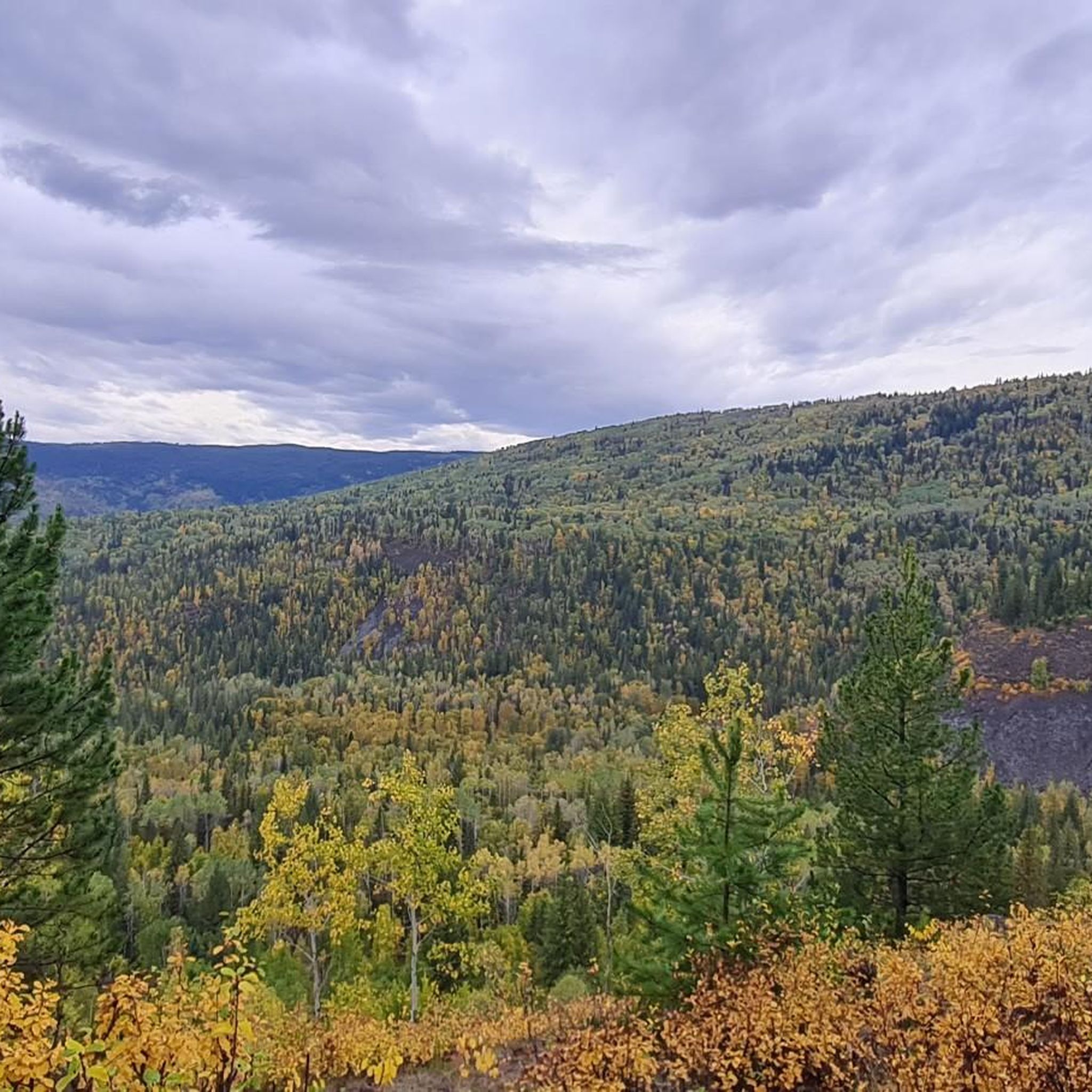
Hiking in Wells Gray Provincial Park offers access to a diverse landscape shaped by ancient volcanic activity and glacial forces. The park features extinct volcanoes, lava beds, and dense forests of Douglas fir, western red cedar, and hemlock. Numerous rivers and at least 41 named waterfalls carve impressive canyons, while pristine lakes like Clearwater Lake and Murtle Lake are prominent features. This environment provides varied terrain for hikers, from river valleys to alpine meadows.
Best hiking trails in Wells Gray…
Last updated: June 25, 2026
3.8
(4)
30
hikers
11.7km
03:21
270m
270m
Moderate hike. Good fitness required. Easily-accessible paths. Suitable for all skill levels.
3
hikers
2.39km
00:37
20m
20m
Easy hike. Great for any fitness level. Easily-accessible paths. Suitable for all skill levels.

Sign up for free
4.8
(136)
888
hikers
8.46km
02:14
80m
70m
Moderate hike. Good fitness required. Easily-accessible paths. Suitable for all skill levels.
4.8
(45)
257
hikers
5.26km
01:24
60m
60m
Easy hike. Great for any fitness level. Easily-accessible paths. Suitable for all skill levels.
4.8
(19)
233
hikers
1.49km
00:23
10m
10m
Easy hike. Great for any fitness level. Easily-accessible paths. Suitable for all skill levels.
Get access to more routes and recommendations from other explorers.
Sign up for free
Already have an account?
Our route recommendations are based on thousands of hikes, rides, and runs completed by other people on komoot.
Start today with a free account
Your next adventure awaits.
Login or Signup
Popular around Wells Gray Provincial Park
Tips from the Community

The Murtle River has to be one of the most scenic rivers in all of Canada. Getting its start at the foot of a glacier in the Cariboo Mountains the Murtle River is the largest tributary of the Clearwater River. Along its short 36-kilometre run the Murtle River has seven named waterfalls, including the iconic Helmcken Falls in Wells Gray Provincial Park. Thankfully there are trails tracing along the course of the river by much of its route so you can get out and enjoy this short, but stunning, river.
0
0
At over 140 metres tall, it's easy to see why Helmcken Falls was one of the main reasons for the formation of Wells Gray Provincial Park. While the spectacular waterfall is a main draw during the busy summer season, the area is also popular with ice climbers during winter and the falls are known as the "Yosemite of ice climbing".
1
0

Canim Falls are a set of large falls formed where the Canim River drops about 25 meters. Stairs and viewing platforms make it easy to get a glimpse of these stunning cascades. Spring runoff makes it especially dramatic, and in the coldest months of winter, the falls can freeze. They are also surrounded by forest and basalt cliffs, and the thick forests make the area feel truly wild.
1
0
Mahood Falls is a dramatic waterfall tucked into the backcountry on the path to Canim Falls. The falls plunge over 30 meters through a narrow rock chute, creating a loud, powerful display, and are easily accessible, with a wild atmosphere.
0
0
The Canim Falls Trail is a short, well-maintained hike that brings visitors to one of the area’s most impressive waterfalls. The trail winds through forests before reaching two viewpoints: one overlooking Canim Falls and the other overlooking Mahood Falls. The Canim River rushes through a narrow volcanic rock canyon, and there are several railings and platforms with views of the river, and interpretive signs explain the area’s geology and natural history.
0
0
The Pyramid Mountain trail ascends above Clearwater Valley in the heart of the Caribou Mountains. The climb starts mellow, with a few benches along the way to rest at, but the final ascent steepens and transitions into switchbacks, and the forest gives way at the top of the peak to great views.
0
0
Pyramid Mountain is easy to spot; its triangular shape stands out above the surrounding forest. It is a volcanic peak formed by ancient lava flows and erosion. After a substantial climb to the summit of Pyramid Mountain, continue back to the parking area, then consider a quick jaunt to Dawson Falls for some final views.
0
0
Dawson Falls are a wide, powerful set of falls that span almost the entire width of the Murtle River, with a 20-meter drop and thunderous sound. The geology here is from ancient volcanic activity, and from this viewpoint, you can feel the mist and hear the deep rumble of the river.
0
0
Frequently Asked Questions
How many hiking trails are available in Wells Gray Provincial Park?
Wells Gray Provincial Park offers a diverse network of over 20 hiking trails. These range from easy walks to more challenging multi-day adventures, catering to various skill levels.
What is the overall difficulty level of hiking trails in Wells Gray Provincial Park?
The trails in Wells Gray Provincial Park offer a good mix of difficulties. You'll find approximately 11 easy routes, 8 moderate trails, and 3 more challenging options, ensuring there's something for every hiker.
What do other hikers say about the trails in Wells Gray Provincial Park?
The hiking routes in Wells Gray Provincial Park are highly regarded by the komoot community, holding an average rating of 4.4 stars from over 500 reviews. Hikers frequently praise the stunning natural beauty, particularly the waterfalls, and the varied terrain.
Are there any family-friendly hiking trails in Wells Gray Provincial Park?
Yes, Wells Gray Provincial Park has several easy trails suitable for families. For instance, the Canim Falls Trail is an easy 1.5-mile path leading to views of Mahood Falls and Canim Falls. Another great option is the Dawson Falls loop, a short 0.9-mile trail with two viewpoints of the impressive horseshoe-shaped falls.
Which trails feature the famous waterfalls of Wells Gray Provincial Park?
Wells Gray Provincial Park is renowned for its waterfalls. You can experience the majestic Helmcken Falls, Canada's fourth-highest, via a short 1.0 km hike to a viewpoint. Moul Falls offers a unique experience where you can even venture behind the cascade. Dawson Falls, known as 'Mini Niagara,' is accessible via an easy 0.9-mile trail. For more waterfall adventures, explore the Waterfalls in Wells Gray Provincial Park guide.
Are there any circular hiking routes in the park?
Yes, there are several circular routes available. A popular option is the Murtle River Bridge – Helmcken Falls loop from Mushbowl, which is about 5.3 miles long and takes you through river valleys and past waterfalls. Another easy loop is the Dawson Falls loop, perfect for a shorter outing.
What are some notable natural landmarks or attractions to see while hiking?
Beyond the numerous waterfalls like Helmcken Falls, Spahats Creek Falls, and Dawson Falls, the park's landscape itself is a major attraction. You'll encounter features shaped by ancient volcanic activity and glacial forces, including lava beds and pristine lakes. The Natural Monuments in Wells Gray Provincial Park guide provides more details.
Is Wells Gray Provincial Park accessible by public transport?
Public transportation options directly into Wells Gray Provincial Park are limited. Most visitors access the park by car, especially given the extensive network of trailheads and attractions spread along the 68 km Wells Gray Corridor. Clearwater, the nearest town, serves as a gateway to the park.
Are dogs allowed on the hiking trails in Wells Gray Provincial Park?
Generally, dogs are permitted on trails in Wells Gray Provincial Park but must be kept on a leash at all times. It's always recommended to check specific trail regulations or park notices for any restrictions, especially in wildlife-sensitive areas, to ensure a safe and enjoyable experience for everyone.
When is the best time of year to go hiking in Wells Gray Provincial Park?
The best time for hiking in Wells Gray Provincial Park is typically from late spring to early fall (May to October). During this period, trails are usually clear of snow, and the weather is most favorable. Spring brings lush greenery and powerful waterfalls from snowmelt, while fall offers vibrant autumn colors. Winter hiking is possible, especially for snowshoeing and cross-country skiing, but many trails may be snow-covered.
Are there any permits required for day hiking in Wells Gray Provincial Park?
For most day hikes in Wells Gray Provincial Park, a specific permit is not required. However, if you plan on multi-day backcountry camping, permits are necessary and should be obtained in advance. Always check the official BC Parks website for the most current regulations regarding permits and fees.
Where can I find parking for trailheads in Wells Gray Provincial Park?
Parking is generally available at the trailheads for popular routes throughout Wells Gray Provincial Park. The Wells Gray Corridor, the main road leading into the park, provides access to many trailheads and attractions, often with designated parking areas. It's advisable to arrive early during peak season to secure a spot.
Most popular attractions in Wells Gray Provincial Park

Get inspired with the komoot mobile app


Explore more
Browse the best Hikes in other regions.
