Cypress Island Natural Resources Conservation Area
Cypress Island Natural Resources Conservation Area
The best road cycling routes in Cypress Island Natural Resources Conservation Area
4.3
(4)
126
riders
11
rides
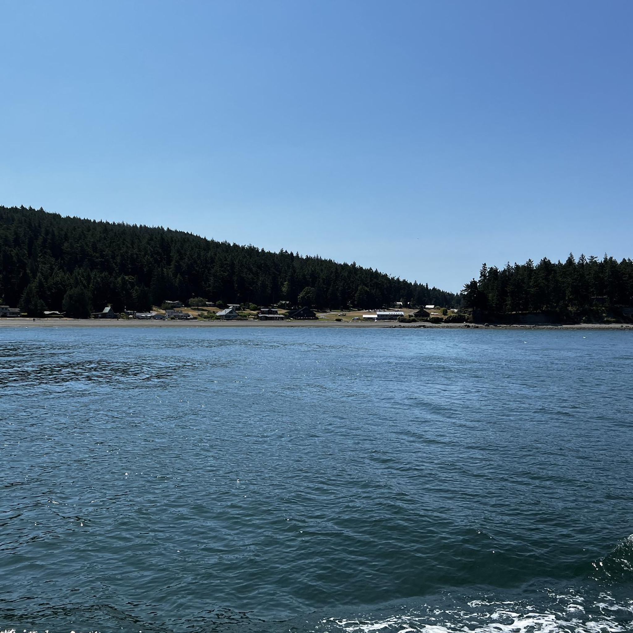
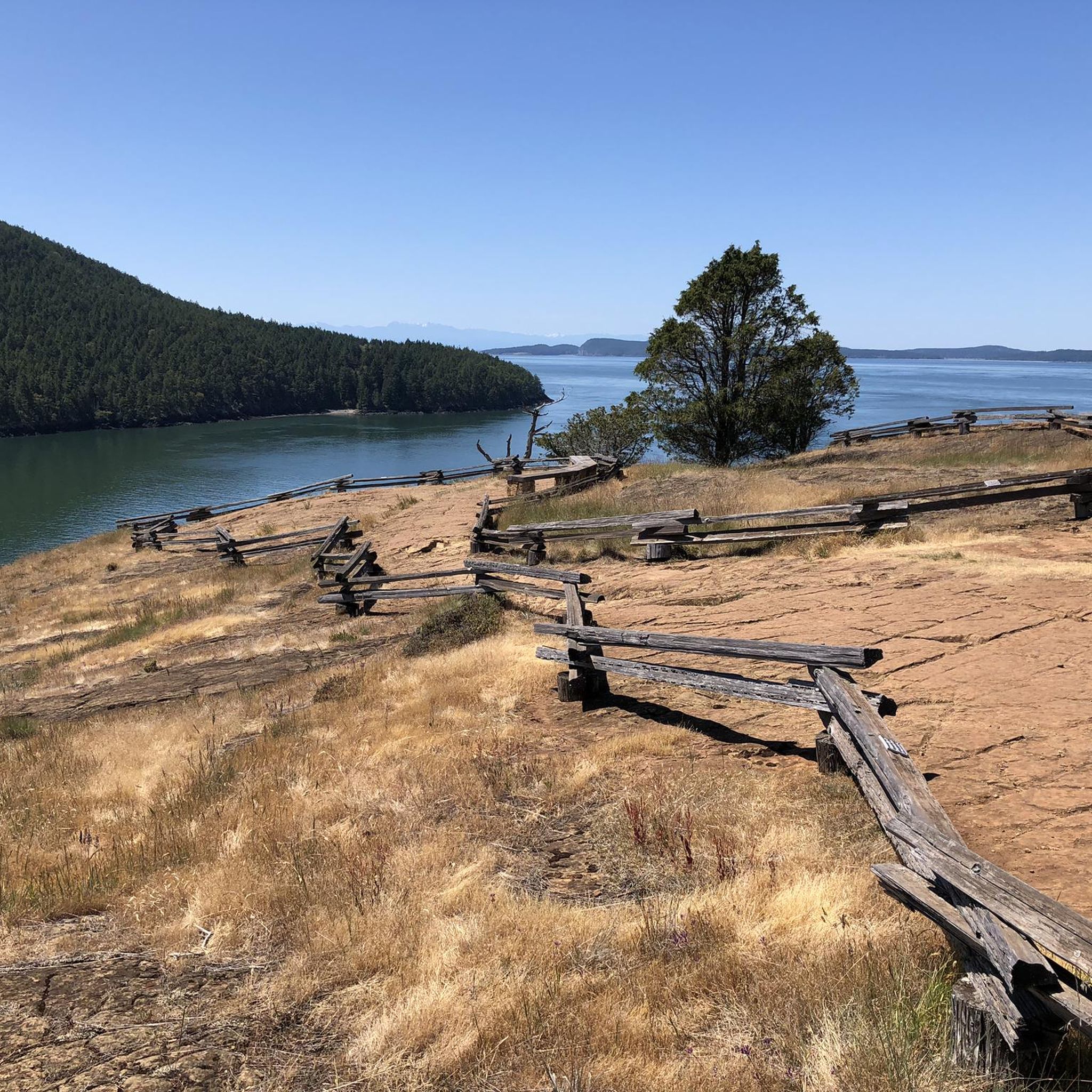
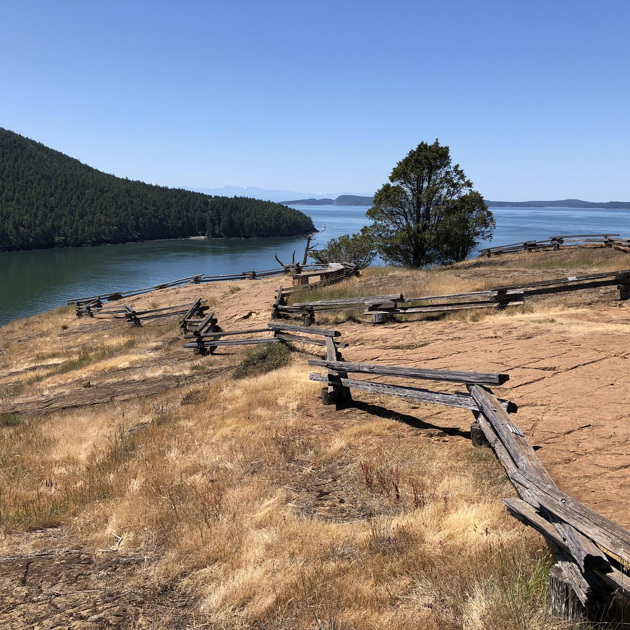
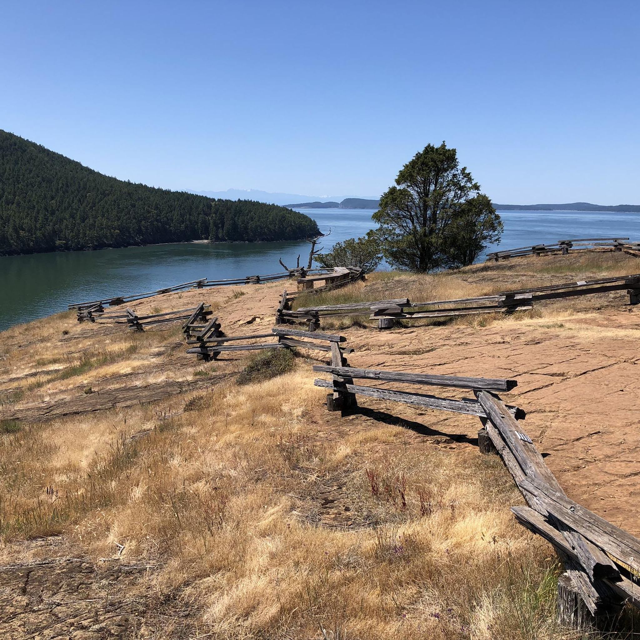
Road cycling routes in Cypress Island Natural Resources Conservation Area are not located directly on Cypress Island, which is accessible only by boat and prohibits bicycles. However, the surrounding region, particularly Fidalgo Island and the mainland near Anacortes, offers road cycling opportunities with views of Cypress Island and the San Juan Islands. This area features coastal roads, rolling terrain, and forested sections, providing varied routes for road cyclists. The landscape includes views of the Salish Sea and distant mountain ranges, with elevations that range from sea level to moderate climbs.
Best road cycling routes in Cypress Island Natural Resources Conservation Area
- The most popular road cycling route is Fidalgo Island loop, a 27.4 miles (44.1 km) trail that takes 2 hours 21 minutes to complete. This route explores the diverse landscapes of Fidalgo Island, offering coastal views and varied terrain.
- Another top favourite among local road cyclists is Washington Park to Bay View State Park, a moderate 38.8 miles (62.4 km) path. This route follows a scenic coastal stretch, connecting two state parks with views across the water.
- Local road cyclists also love the Old Railway Structure – Tommy Thompson Parkway loop from Shannon Point Marine Center, a 26.8 miles (43.1 km) trail leading through coastal parkways and past historical structures, often completed in about 2 hours 9 minutes.
- Road cycling in Cypress Island Natural Resources Conservation Area is defined by coastal routes, views of the San Juan Islands, and forested sections. The network offers options for different ability levels, from moderate coastal rides to routes with more significant elevation changes.
- The routes in Cypress Island Natural Resources Conservation Area are highly rated by the komoot community with an average score of 4.5 stars from over 8 reviews. More than 120 road cyclists have used komoot to explore Cypress Island Natural Resources Conservation Area's varied terrain.
Last updated: July 12, 2026
5.0
(1)
21
riders
44.1km
02:22
570m
570m
Moderate road ride. Good fitness required. Mostly well-paved surfaces and easy to ride.
11
riders
62.4km
02:59
190m
190m
Moderate road ride. Good fitness required. Mostly well-paved surfaces and easy to ride.

Sign up for free
4.0
(2)
19
riders
22.9km
01:03
250m
250m
Easy road ride. Great for any fitness level. Mostly well-paved surfaces and easy to ride.
15
riders
Hard road ride. Very good fitness required. Some segments of this route may be unpaved and difficult to ride.
6
riders
20.1km
01:03
370m
370m
Moderate road ride. Good fitness required. Mostly well-paved surfaces and easy to ride.
Get access to more routes and recommendations from other explorers.
Sign up for free
Already have an account?
Our route recommendations are based on thousands of hikes, rides, and runs completed by other people on komoot.
Start today with a free account
Your next adventure awaits.
Login or Signup
Popular around Cypress Island Natural Resources Conservation Area
Tips from the Community


Tommy Thompson Parkway is a great car-free route out to March Point, with nice water views along the trestle. But heads up—seagulls drop shells here to crack them open, leaving sharp debris that’s notorious for causing flats. Ride with caution, and if you’re on skinny tires, consider walking your bike across the worst sections.
1
0
99% of my bike rides utilize this route out of Anacortes. Beware the flying clams!
0
0
Roadside lake in the Anacortes Community Forest Lands. People fish, swim, hike and bike here. Maybe horsies too. May be tainted by toxic algae in the summer months - check before you swim or let your dog swim.
0
0
The trestle provides a car-free route to March's Point, BUT there is a downside. Sea gulls use the trestle to crack open clams, dropped from above, and the pointy shards litter the trestle until the sweeping angels come. I've punctured many times here, and ruined a couple of expensive bike tires. I wish there was some kind of "Shell Report" or webcam or some way of knowing the condition of the trestle before you head out on your bike. And if I wanted to walk my bike across the trestle, I wouldn't have ridden a bike.
0
0

Guemes is a lovely island. Great way to get out of the hustle and bussle with a super short ferry ride. Great bike riding island. Little traffic and people drive pretty slowly. Great views on a clear day.
0
0
A magical topography. I've been coming here for as long as I can remember, like 4 years old. This is next-level global architecture. Interior design, whatever. This landscape is worthy of fabled HHGTTG creative Slartibartfast, whose expertise lie in fjords.
1
0

The seagulls use the Parkway as a place to break open shellfish, leaving behind sharp broken seashells. Take care if you have thinner road bike tires.
0
0
Frequently Asked Questions
Are there road cycling routes directly on Cypress Island Natural Resources Conservation Area?
No, Cypress Island itself is accessible only by boat, and its trails are designated solely for hiking, explicitly prohibiting bicycles. However, the surrounding region, particularly Fidalgo Island and the mainland near Anacortes, offers numerous road cycling opportunities with scenic views of Cypress Island and the San Juan Islands.
How many road cycling routes are available in the region near Cypress Island?
There are over 10 road cycling routes available in the area surrounding Cypress Island Natural Resources Conservation Area, primarily on Fidalgo Island and the mainland. These routes offer diverse experiences, from coastal rides to routes with moderate elevation changes.
What kind of terrain can I expect on road cycling routes near Cypress Island?
The road cycling routes in this region feature a mix of coastal roads, rolling terrain, and forested sections. You'll find elevations ranging from sea level to moderate climbs, providing varied experiences for cyclists. The landscape often includes views of the Salish Sea and distant mountain ranges.
Are there any family-friendly or beginner-suitable road cycling routes?
Yes, the region offers routes suitable for various ability levels. While most routes are rated as moderate, there are options that can be enjoyed by families or beginners looking for less strenuous rides. For example, the Tommy Thompson Trestle – Tommy Thompson Parkway loop from Anacortes is a shorter, moderate option that could be suitable.
What are some popular road cycling routes in the area?
Among the most popular routes are the Fidalgo Island loop, which explores diverse landscapes, and the Washington Park to Bay View State Park route, following a scenic coastal stretch. Another local favorite is the Old Railway Structure – Tommy Thompson Parkway loop from Shannon Point Marine Center.
What do other road cyclists say about the routes near Cypress Island?
The routes in this area are highly rated by the komoot community, with an average score of 4.5 stars from over 8 reviews. Cyclists often praise the scenic coastal views, the varied terrain, and the opportunity to see the San Juan Islands and distant mountains while riding.
Are there loop trails available for road cycling?
Yes, many of the road cycling routes in the region are designed as loops, allowing you to start and end at the same point. Examples include the popular Fidalgo Island loop and the Old Railway Structure – Tommy Thompson Parkway loop from Shannon Point Marine Center.
Where can I find parking for road cycling routes?
Parking is generally available at the starting points of many routes on Fidalgo Island and the mainland near Anacortes. For instance, routes like the Heart Lake loop from Anacortes Airport suggest starting points where parking facilities are typically present.
What are the best times of year to go road cycling in this region?
The best time for road cycling in the San Juan Islands region, including areas near Cypress Island, is generally during the spring, summer, and early fall. These seasons offer milder temperatures, less rain, and longer daylight hours, making for more enjoyable rides. Always check local weather forecasts before heading out.
Are there any viewpoints or scenic spots along the road cycling routes?
Absolutely. The routes are known for their scenic beauty. You can expect expansive views of the San Juan Islands, the Salish Sea, and potentially the Olympic and Cascade mountain ranges. Routes connecting areas like Washington Park often provide stunning coastal vistas.
What should I bring for a road cycling trip in this area?
Given the varied terrain and coastal exposure, it's advisable to bring layers of clothing, a helmet, water, snacks, and basic bike repair tools. Sunscreen and sunglasses are also recommended, especially on sunny days. Always carry a map or use a navigation app like komoot for route guidance.
Can I access cafes or amenities along the road cycling routes?
Routes originating from or passing through towns like Anacortes will offer access to cafes, restaurants, and other amenities. For longer routes that venture into more rural sections of Fidalgo Island, it's wise to plan your stops and carry sufficient supplies.
Most popular routes in Cypress Island Natural Resources Conservation Area

Get inspired with the komoot mobile app


Explore more
Browse the best Road cycling routes in other regions.
