
The best cycling routes in Mount Maxwell Provincial Park
4.1
(9)
238
riders
19
rides
Touring cycling in Mount Maxwell Provincial Park offers challenging terrain and panoramic views across the Gulf Islands and Vancouver Island. The park's highest point, Baynes Peak, reaches 1,975 feet (602 meters), providing expansive vistas after a significant climb. Routes often navigate rough, steep gravel roads, demanding fitness and appropriate cycling gear. The area features diverse ecosystems, including old-growth Douglas fir stands and Garry oak meadows.
Best touring cycling routes in Mount Maxwell Provincial Park
- The most popular touring cycling route is Along the Waterfront – Salt Spring Island loop from Fulford-Ganges Rd at Isabella Point Rd (NB), a 34.4 miles (55.3 km) trail that takes 3 hours 39 minutes to complete. This difficult route offers expansive vistas of the surrounding Gulf Islands and the British Columbia mainland.
- Another top favourite among local touring cyclists is Walker Hook loop from Ganges, a difficult 24.3 miles (39.1 km) path. This route traverses diverse ecosystems, including stands of old-growth Douglas fir.
- Local touring cyclists also love the Salt Spring Island Cheese Farm loop from Grace Islet, a 14.8 miles (23.7 km) trail leading through areas with challenging uphill sections and panoramic vistas, often completed in about 1 hour 41 minutes.
- Touring cycling in Mount Maxwell Provincial Park is defined by challenging gravel roads, panoramic vistas, and diverse ecosystems. The network offers options for various ability levels, from moderate to difficult.
- The routes in Mount Maxwell Provincial Park are highly rated by the komoot community with an average score of 4.2 stars from over 8 reviews. More than 220 touring cyclists have used komoot to explore Mount Maxwell Provincial Park's varied terrain.
Last updated: July 4, 2026
23
riders
Hard bike ride. Very good fitness required. Mostly paved surfaces. Suitable for all skill levels.
3.7
(3)
50
riders
Hard bike ride. Very good fitness required. Mostly paved surfaces. Suitable for all skill levels.

Sign up for free
8
riders
17.9km
01:09
230m
230m
Moderate bike ride. Good fitness required. Mostly paved surfaces. Suitable for all skill levels.
3.0
(1)
11
riders
23.7km
01:41
430m
430m
Moderate bike ride. Good fitness required. Mostly paved surfaces. Suitable for all skill levels.
7
riders
31.9km
02:07
460m
460m
Hard bike ride. Very good fitness required. Mostly paved surfaces. Suitable for all skill levels.
Get access to more routes and recommendations from other explorers.
Sign up for free
Already have an account?
Our route recommendations are based on thousands of hikes, rides, and runs completed by other people on komoot.
Start today with a free account
Your next adventure awaits.
Login or Signup
Popular around Mount Maxwell Provincial Park
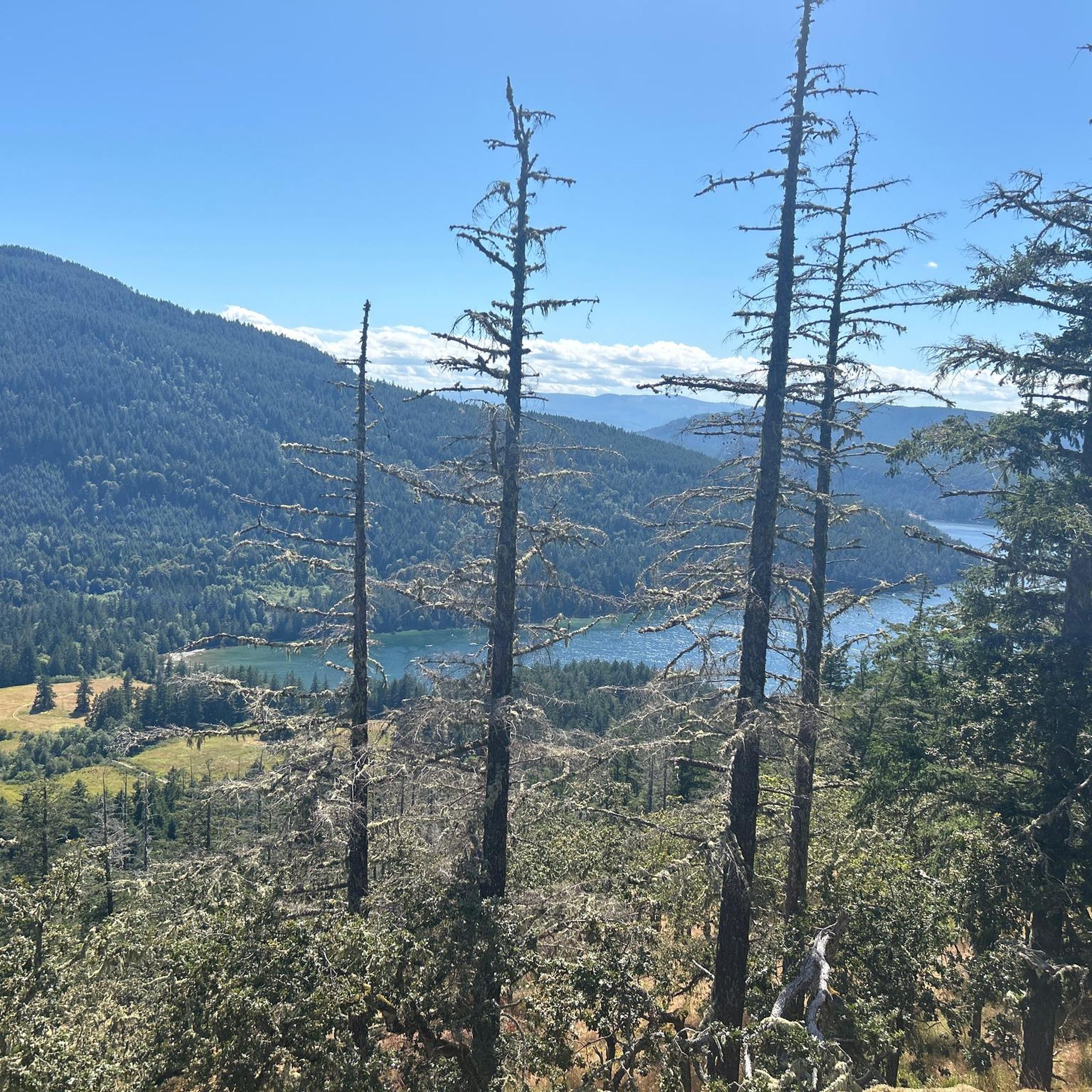
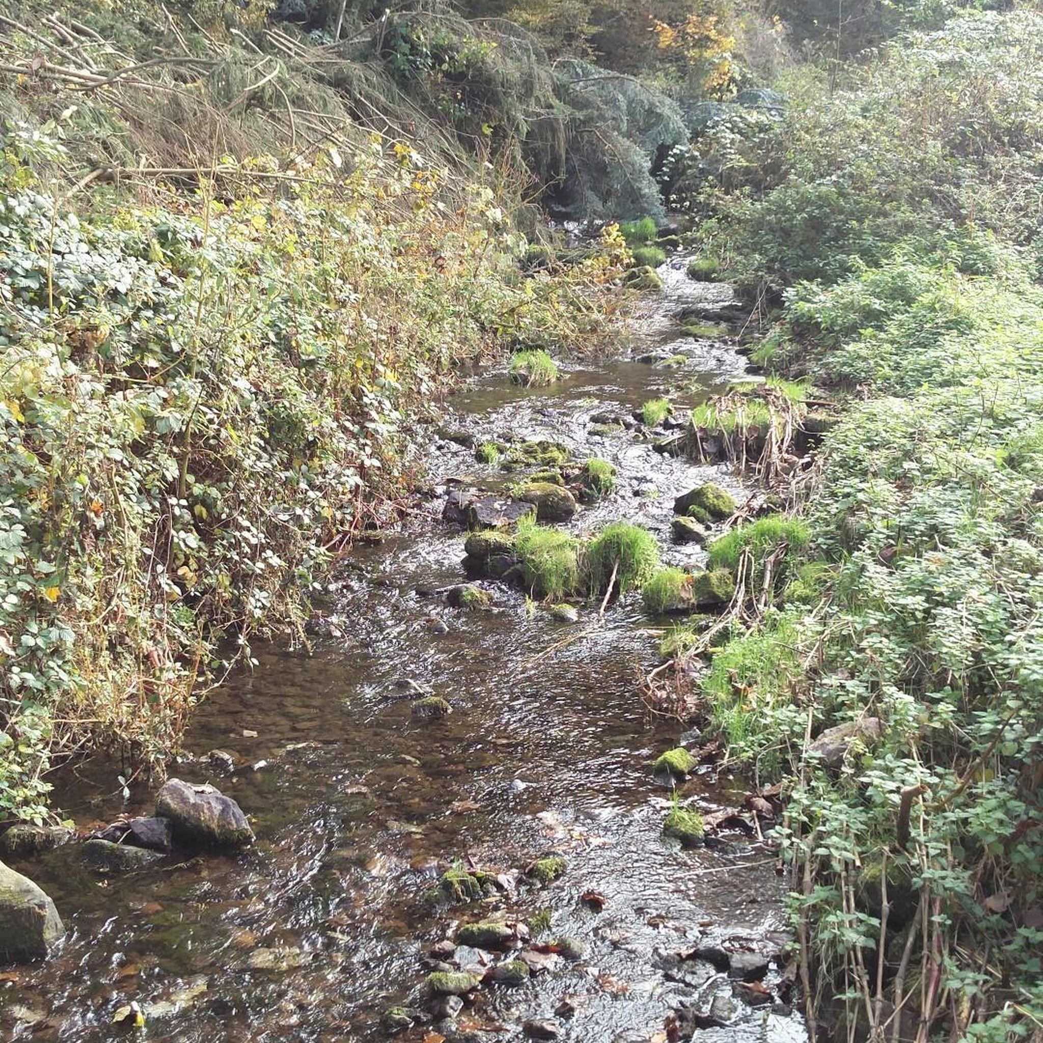
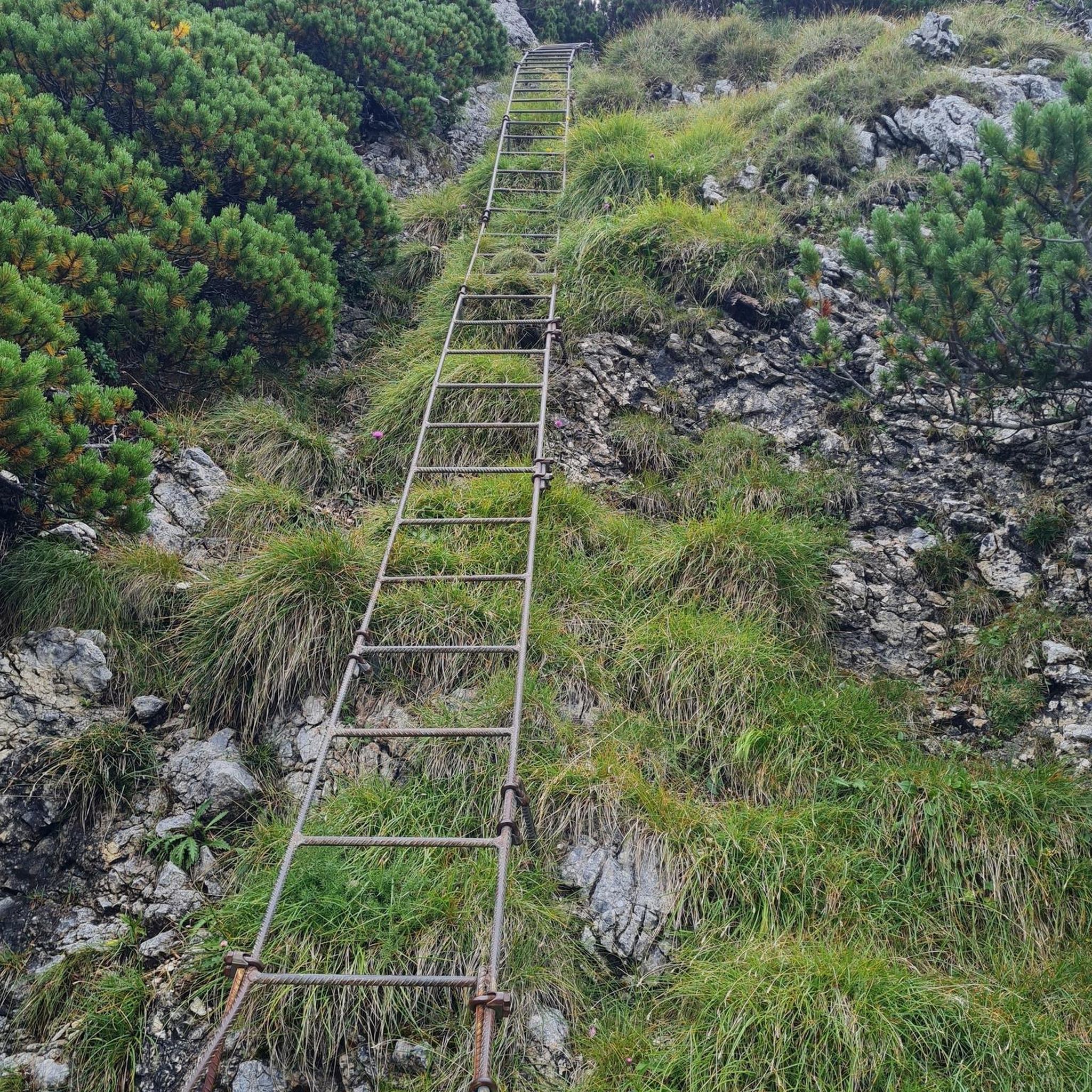
Tips from the Community

Don’t ride on Salt Spring. Drivers are terrible and shoulders are non existent
0
0

Slow down and take your time and stop at the many farm stands that sell all Kinds of local foods including baked goods, fruit and even popsicles .
0
0

Frequently Asked Questions
How many touring cycling routes are available in Mount Maxwell Provincial Park?
There are over 15 touring cycling routes in Mount Maxwell Provincial Park, offering a range of experiences from moderate to difficult. This includes 9 moderate and 9 difficult routes, ensuring options for various skill levels.
What kind of terrain can I expect on the touring cycling routes?
The terrain in Mount Maxwell Provincial Park is notably challenging, often featuring rough, narrow, and steep gravel roads. Cyclists should be prepared for potholes, ruts, and exposed bedrock, especially on the ascent to Baynes Peak. This demands a good level of fitness and appropriate cycling gear.
What are the best viewpoints or scenic spots along the cycling routes?
The most spectacular views are from Baynes Peak, the highest point on Salt Spring Island. From here, you can enjoy expansive vistas of the surrounding Gulf Islands, Vancouver Island, the British Columbia mainland, Burgoyne Bay, and the Sansum Narrows. On clear days, you might even see Mount Baker and the Olympic Mountains.
Are there any family-friendly touring cycling routes in the park?
While many routes in Mount Maxwell Provincial Park are rated moderate to difficult due to challenging terrain and elevation, there are some options that might be more suitable for families with older, experienced riders. For example, the St. Mary Lake Beach loop from Ganges is a moderate 17.8 km route that offers a less strenuous experience compared to the more challenging climbs.
What natural features can I observe while cycling in Mount Maxwell Provincial Park?
The park boasts diverse ecosystems, including impressive stands of old-growth Douglas fir, picturesque Garry oak meadows, and salmon-bearing creeks. Keep an eye out for wildlife, as soaring bald eagles and other raptors are often seen from Baynes Peak.
What is the best time of year to go touring cycling in Mount Maxwell Provincial Park?
The best time to visit for touring cycling is generally during the drier months, from late spring through early autumn. This avoids the wettest conditions that can make the gravel roads even more challenging. Clear days offer the most rewarding panoramic views from Baynes Peak.
Are there any circular touring cycling routes available?
Yes, many of the touring cycling routes in the area are designed as loops. For instance, the popular Along the Waterfront – Salt Spring Island loop from Fulford-Ganges Rd at Isabella Point Rd (NB) is a challenging 55.3 km circular route offering extensive vistas. Another option is the Walker Hook loop from Ganges, a difficult 39.1 km path that traverses diverse ecosystems.
What amenities are available for cyclists at the summit of Mount Maxwell?
Near the summit parking lot at Baynes Peak, you'll find picnic tables and pit toilets. These facilities offer a convenient spot for a well-deserved break and to enjoy the panoramic views after your climb.
What should I bring for a touring cycling trip in Mount Maxwell Provincial Park?
Given the challenging terrain, it's advisable to bring a well-maintained touring bicycle suitable for gravel roads, along with appropriate cycling gear. Essential items include plenty of water, snacks, a repair kit, a helmet, and layers of clothing to adapt to changing weather conditions. Don't forget a camera for the stunning views!
What do other touring cyclists enjoy most about cycling in Mount Maxwell Provincial Park?
The area is highly rated by the komoot community, with an average score of 4.2 stars. Reviewers often praise the challenging yet rewarding climbs, the unparalleled panoramic views from Baynes Peak, and the opportunity to explore diverse natural landscapes, including old-growth forests.
Are there any routes that pass by local attractions or points of interest?
While the park itself is a major attraction, some routes venture outside its immediate boundaries to connect with other points of interest on Salt Spring Island. For example, the Salt Spring Island Cheese Farm loop from Grace Islet is a moderate 23.7 km route that takes you through areas with challenging uphill sections and panoramic vistas, potentially allowing for a visit to the renowned cheese farm.
Is there parking available for cyclists near the park's access points?
Yes, parking is available, particularly near the access points leading to the park's main roads. There is also parking at the summit of Mount Maxwell, which serves as a starting or ending point for many cycling adventures. Be aware that the road to the summit is rough and steep.
What is the typical elevation gain for touring cycling routes in the park?
Touring cycling in Mount Maxwell Provincial Park involves significant elevation gain, especially when ascending to Baynes Peak. Routes can feature climbs of several hundred meters. For instance, the difficult Isabella Point Road Beach – Drummond Park Beach loop from Grace Islet covers 31.9 km with an elevation gain of over 460 meters.
Most popular routes in Mount Maxwell Provincial Park

Get inspired with the komoot mobile app


Explore more
Browse the best Cycling routes in other regions.
