The best road cycling routes in Mount Maxwell Provincial Park
4.8
(5)
167
riders
8
rides
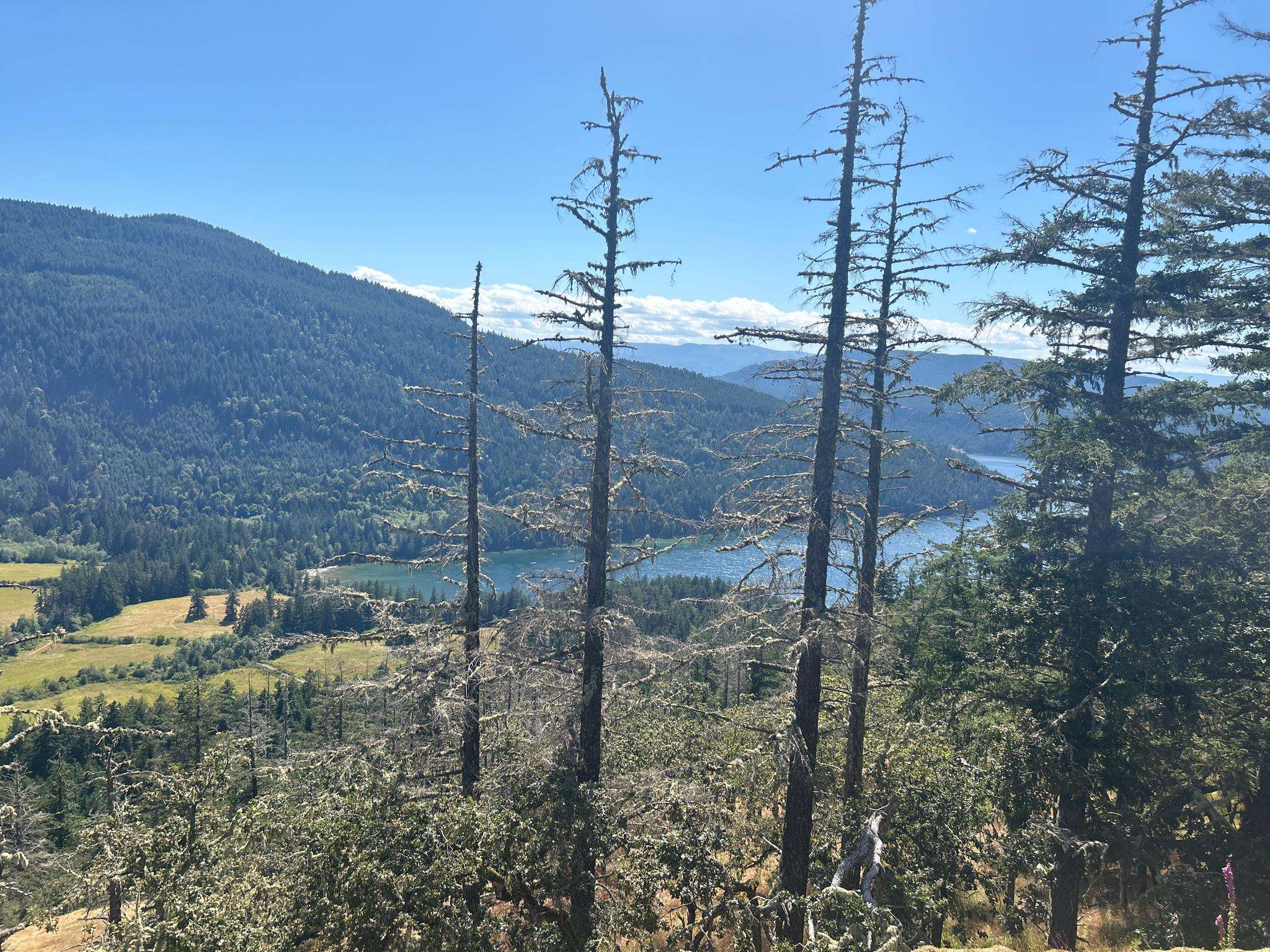
Road cycling routes in Mount Maxwell Provincial Park are situated on Salt Spring Island, offering diverse terrain for cyclists. The region is characterized by significant elevation changes, with routes traversing areas of old-growth Douglas firs and Garry oak meadows. While the park's summit road is unpaved and challenging for traditional road bikes, the surrounding island provides numerous paved roads suitable for road cycling. These routes often feature panoramic views of the Gulf Islands and the surrounding coastal landscape.
Best road…
Last updated: July 5, 2026
4.5
(2)
66
riders
Moderate road ride. Good fitness required. Mostly well-paved surfaces and easy to ride.
5.0
(1)
15
riders
25.1km
01:33
450m
450m
Moderate road ride. Good fitness required. Mostly well-paved surfaces and easy to ride.

Sign up for free
8
riders
17.9km
00:52
230m
230m
Easy road ride. Great for any fitness level. Mostly well-paved surfaces and easy to ride.
5.0
(2)
34
riders
64.4km
03:23
890m
890m
Moderate road ride. Good fitness required. Mostly well-paved surfaces and easy to ride.
4
riders
Moderate road ride. Good fitness required. Some segments of this route may be unpaved and difficult to ride.
Get access to more routes and recommendations from other explorers.
Sign up for free
Already have an account?
Our route recommendations are based on thousands of hikes, rides, and runs completed by other people on komoot.
Start today with a free account
Your next adventure awaits.
Login or Signup
Popular around Mount Maxwell Provincial Park

Frequently Asked Questions
How many road cycling routes are available in Mount Maxwell Provincial Park?
There are 8 road cycling routes available in and around Mount Maxwell Provincial Park, offering diverse options for cyclists. These routes are highly rated by the komoot community, with an average score of 4.8 stars.
What is the terrain like for road cycling in Mount Maxwell Provincial Park?
While the broader Salt Spring Island offers many paved roads suitable for road cycling, the direct ascent to Baynes Peak within Mount Maxwell Provincial Park via Mount Maxwell Road is exceptionally challenging. This road is described as steep, narrow, bumpy, and rough gravel, with surface erosion and deep potholes, making it more suitable for mountain or gravel bikes than traditional road bikes. However, the region's routes generally feature significant elevation changes, coastal roads, and forested sections.
Are there challenging road cycling climbs in the park?
Yes, the ascent to the summit of Mount Maxwell Provincial Park via Mount Maxwell Road is a very challenging climb due to its steep grades and rough, unpaved surface. For those seeking a rigorous experience with appropriate gear, the reward is incredible panoramic views. For paved challenges, routes like Walker Hook loop from Goat Island feature significant elevation gain, with over 895 meters of climbing over 61.9 km.
What natural features or viewpoints can I expect to see while road cycling?
Road cycling in the area offers stunning natural features. From Baynes Peak, one of the highest points on Salt Spring Island, you can enjoy spectacular panoramic views of Vancouver Island, the surrounding Gulf Islands, the British Columbia mainland, Mount Baker, and even the Olympic Mountains. The routes also traverse areas of old-growth Douglas firs and Garry oak meadows, providing a diverse and scenic backdrop.
Are there family-friendly road cycling routes in the area?
Yes, there are options suitable for families. The St. Mary Lake Beach loop from Grace Islet is an easy 17.9 km route that takes about 52 minutes to complete, offering a pleasant ride through areas near St. Mary Lake. This route provides a good balance of natural landscapes and accessibility for various skill levels.
Is public transport an option to reach Mount Maxwell Provincial Park for cycling?
While Salt Spring Island has some public transport options, direct public transport to the summit of Mount Maxwell Provincial Park is not readily available. Most visitors access the park by car, and cyclists typically start their rides from various points on the island. It's advisable to plan your route and transport to the island accordingly.
What do other road cyclists enjoy the most about road cycling in Mount Maxwell Provincial Park?
The area is highly rated by the komoot community, with an average score of 4.8 stars from over 5 reviews. Reviewers often praise the diverse island scenery, the mix of coastal roads and forested sections, and the rewarding panoramic views from higher elevations. The variety of routes, from easier loops to more challenging climbs, is also frequently highlighted.
Are there any circular road cycling routes available?
Yes, many of the routes in the region are circular, allowing you to start and end at the same point. Examples include the popular Walker Hook loop from Ganges, a 40.4 km moderate route, and the Lake Weston loop from Kanaka Road Park Reserve No. 1, which circles Lake Weston over 25.1 km.
What are the best routes for moderate difficulty road cycling?
For moderate road cycling, you have several excellent options. The Walker Hook loop from Ganges is a popular choice, covering 40.4 km with varied island scenery. Another great moderate route is the St. Mary Lake Beach – Wilkie Way Park Reserve loop from Monteith Drive Park Reserve, which is 31.3 km long and offers a mix of landscapes.
Is road cycling with dogs permitted in Mount Maxwell Provincial Park?
Dogs are generally permitted on leash on park roads and in developed areas within Mount Maxwell Provincial Park. However, specific rules may apply to certain trails or ecological reserves. It's always best to check the latest park regulations regarding pets before heading out, especially considering the challenging terrain of Mount Maxwell Road.
What is the best time of year for road cycling in Mount Maxwell Provincial Park?
While specific seasonal recommendations for road cycling are not provided, the Southern Gulf Islands generally offer pleasant conditions for outdoor activities from spring through fall. Summer months provide warmer weather and longer daylight hours, but spring and autumn can offer cooler temperatures and vibrant scenery. Always check local weather conditions before your ride.
Are there any archaeological sites or historical points of interest in the area?
Yes, the region holds significant historical and spiritual importance. The area is known to the Cowichan First Nation as Hwmat'etsum ('bent over place'), and extensive shell midden sites dating back 3,000 years are found below Burgoyne Bay, marking ancient Indigenous settlements. While not directly on road cycling routes, these sites highlight the rich cultural history of the land.
Most popular routes in Mount Maxwell Provincial Park

Get inspired with the komoot mobile app


Explore more
Browse the best Road cycling routes in other regions.
