The best running trails in Tynehead Regional Park
4.5
(14)
567
runners
59
runs
Jogging in Tynehead Regional Park offers a network of trails through diverse landscapes. The park is characterized by the headwaters of the Serpentine River, extensive forests, and open meadows. While many routes are relatively flat, some incorporate rolling hills, providing varied terrain for runners. The area features both paved and natural surfaces, catering to different preferences.
Best jogging routes in Tynehead Regional Park
- The most popular jogging route is Serpentine River loop from Fleetwood—Port Kells, a 4.5 miles (7.2 km) trail that takes 45 minutes to complete. This route winds through forests and offers views of the Serpentine River.
- Another top favourite among local runners is Running loop from Surrey Bend Regional Park, a moderate 6.7 miles (10.7 km) path. This route provides diverse scenery, including lush forests and open meadows.
- Local runners also love the Running loop from Guildford, a 2.4 miles (3.9 km) trail leading through open meadows, often completed in about 26 minutes.
- Jogging in Tynehead Regional Park is defined by the Serpentine River, lush forests, and open meadows. The network offers options for different ability levels, from easy, flat paths to routes with rolling hills.
- The routes in Tynehead Regional Park are highly rated by the komoot community with an average score of 4.6 stars from 12 reviews. More than 500 runners have used komoot to explore Tynehead Regional Park's varied terrain.
Last updated: August 28, 2026
5.0
(1)
68
runners
5.51km
00:35
60m
60m
Moderate run. Good fitness required. Mostly paved surfaces. Suitable for all skill levels.
4.5
(2)
15
runners
10.7km
01:14
20m
20m
Moderate run. Good fitness required. Mostly paved surfaces. Suitable for all skill levels.

Sign up for free
8
runners
3.96km
00:26
10m
10m
Easy run. Great for any fitness level. Mostly paved surfaces. Suitable for all skill levels.
9
runners
Moderate run. Good fitness required. Mostly paved surfaces. Suitable for all skill levels.
5.0
(1)
6
runners
6.50km
00:41
60m
60m
Moderate run. Good fitness required. Mostly paved surfaces. Suitable for all skill levels.
Get access to more routes and recommendations from other explorers.
Sign up for free
Already have an account?
Our route recommendations are based on thousands of hikes, rides, and runs completed by other people on komoot.
Start today with a free account
Your next adventure awaits.
Login or Signup

Tips from the Community

Willow Trail follows the eastern edge of the lake and is a smooth gravel path with beautiful views of the water, open meadows, and peaceful woodlands. Along the way, you’ll spot plenty of waterbirds, and keep an eye out for Red-tailed Hawks and ravens soaring overhead as you explore. It’s one of the best trails in the park for enjoying the varied landscapes of the Urban Forest.
0
0
Green Timbers Lake is a small freshwater lake at the centre of the park, surrounded by forest, walking paths, and fishing platforms that make it one of the area’s main gathering spots. Stocked with rainbow trout and bordered by wetlands, the lake attracts ducks, turtles, and other wildlife, while calm water and tree reflections give it a lovely, peaceful atmosphere.
0
0

The trail is wide and floored with fine crushed gravel. You can't see much of the water from here, but the trail is well-groomed and it's a nice shady way to loop around the lake in the summer.
0
0
There are about a half dozen trails that leave from the south end of the parking lot. At the junction you can find a kiosk with maps and information on the local wildlife.
0
0
There are some shaded benches here along the Willow Trail with a tranquil view across the water. You can enjoy a nice picnic by the lake.
0
0

This paved, multi-use trail traces thee edges of Tynehead Regional Park in a four kilometer loop. You'll find interpretive signage placed along the loop as you make your way around.
0
0

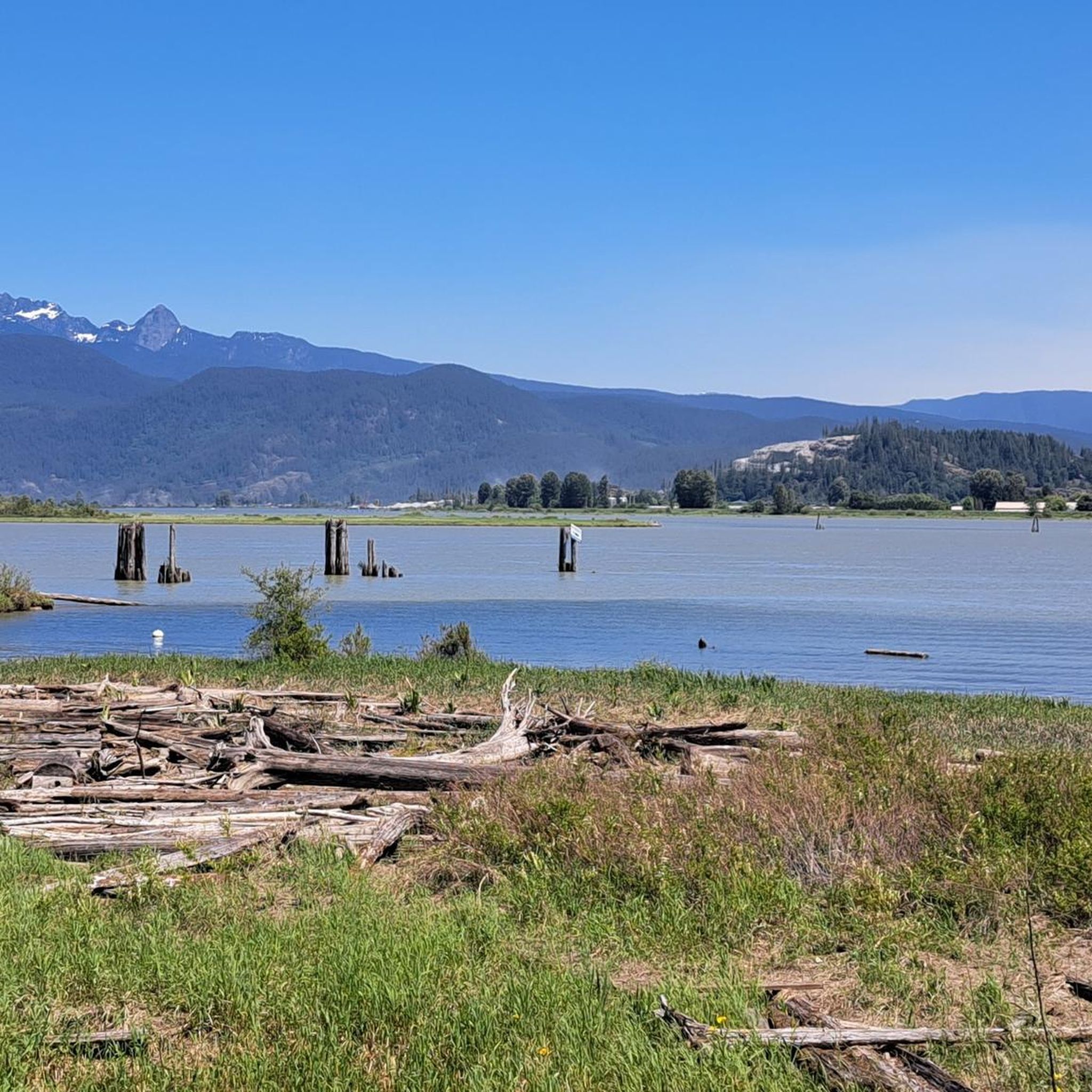
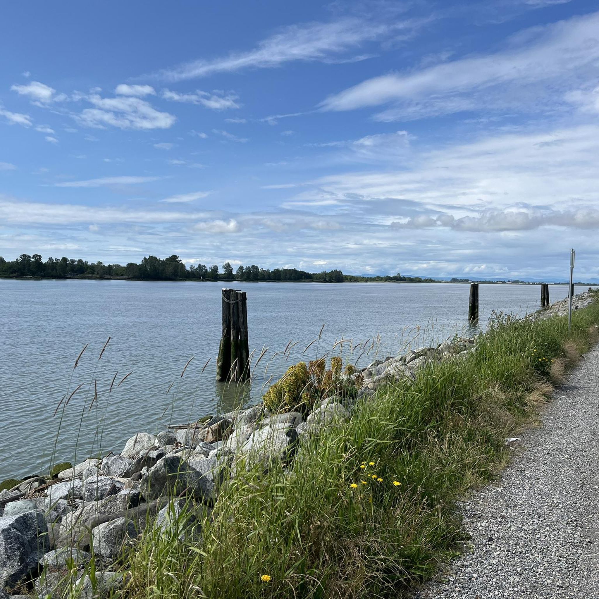
Surrey Bend Regional Park is a large floodplain landscape shaped by the natural ebb and flow of the Fraser River. Unlike many riverfront areas, this section remains undyked, allowing tidal cycles and seasonal flooding to shape the wetlands, marshes, and forest you walk through.
0
0

Fleetwood Park is a community park offering picnic shelters, play areas, a garden area, and nature trails. The southern section is a designated Urban Forest, making it easy to find a good dose of nature right in the city.
0
0
Frequently Asked Questions
How many running routes are available in Tynehead Regional Park?
Tynehead Regional Park offers a wide selection of running routes, with over 60 different tours available for exploration. These routes cater to various preferences, ranging from easy, flat paths to more challenging trails with rolling hills.
Are there jogging routes suitable for beginners or families in Tynehead Regional Park?
Yes, Tynehead Regional Park has several routes ideal for beginners and families. There are 6 easy routes, many of which feature relatively flat terrain and some even offer wheelchair-friendly paths. An excellent option is the Running loop from Guildford, which is 2.4 miles (3.9 km) and leads through open meadows, perfect for a gentle run.
Can I bring my dog along for a run in Tynehead Regional Park?
Absolutely! Tynehead Regional Park is dog-friendly and features a large 6-acre off-leash dog area. This area also includes a trail suitable for jogging, allowing you and your canine companion to enjoy a run together.
What kind of terrain can I expect on the jogging trails in Tynehead Regional Park?
The park boasts a diverse trail network with varied terrain. You'll find both fully-paved surfaces, like sections of the Tynehead Perimeter Trail, and natural paths winding through forests and meadows. While many routes are relatively flat, others incorporate rolling hills, providing options for different fitness levels and preferences.
Are there any circular running routes in Tynehead Regional Park?
Yes, many of the running routes in Tynehead Regional Park are loops, offering a convenient way to explore the park without retracing your steps. For instance, the Serpentine River loop from Fleetwood—Port Kells is a popular 4.5-mile (7.2 km) circular trail that winds through forests and offers views of the Serpentine River.
What are some natural features or attractions I might see while running in the park?
While jogging, you can experience the park's rich natural beauty. You'll encounter the headwaters of the Serpentine River, lush forests, and open meadows. Keep an eye out for massive, notched tree stumps, remnants of historical logging, particularly on trails like the Serpentine Loop Trail. The park is also home to the Tynehead Fish Hatchery, which you can view via the Hatchery Trail.
Is there parking available at Tynehead Regional Park trailheads?
Yes, Tynehead Regional Park offers ample parking facilities, making it convenient for visitors to access the various trailheads and start their jogging routes.
What do other runners enjoy most about jogging in Tynehead Regional Park?
The running routes in Tynehead Regional Park are highly rated by the komoot community, with an average score of 4.6 stars from 12 reviews. Runners often praise the diverse scenery, including the serene forests and open meadows, as well as the variety of terrain that caters to different abilities.
Are there any longer running routes for more experienced runners?
For those seeking a longer run, Tynehead Regional Park and its surroundings offer excellent options. The Running loop from Surrey Bend Regional Park is a moderate 6.7-mile (10.7 km) path that provides diverse scenery, including lush forests and open meadows, making it a great choice for a more extended workout.
What is the best time of year to go jogging in Tynehead Regional Park?
Tynehead Regional Park is beautiful for jogging from mid-spring to late autumn, when the forests are lush and the meadows are vibrant. However, with its varied trail network, including paved sections, the park can be enjoyed year-round, offering different experiences with each season.
Can I find routes with some elevation gain for a more challenging run?
Yes, while many trails are relatively flat, some routes in Tynehead Regional Park incorporate rolling hills, offering a more challenging workout. The Tynehead Perimeter Trail, for example, is known to have some long uphill sections, providing varied terrain for those looking to push themselves.
Are there opportunities for wildlife spotting during a run?
Tynehead Regional Park is a habitat for various wildlife, including owls, hawks, and coyotes. Joggers often have opportunities for nature observation, especially in the quieter forest sections and near the Serpentine River, which is a crucial salmon rearing habitat.
Most popular routes in Tynehead Regional Park
Most popular attractions in Tynehead Regional Park

Get inspired with the komoot mobile app


Explore more
Browse the best Running Trails & Routes in other regions.
