The best running trails in Fraser River Delta -- Ramsar
4.6
(72)
7,422
runners
257
runs
Jogging in Fraser River Delta -- Ramsar offers diverse routes across an expansive and ecologically significant wetland. The region is characterized by over 300 kilometers of extensive dyke systems, providing flat, wide gravel paths with minimal elevation changes. Joggers can experience varied coastal and estuarine habitats, including intertidal mudflats and marsh areas, alongside riverfront and agricultural views. Unique bog ecosystems, such as those found in the Delta Nature Reserve, also offer distinct running environments.
Best jogging routes in Fraser River…
Last updated: June 30, 2026
18
runners
Hard run. Very good fitness required. Mostly paved surfaces. Suitable for all skill levels.
16
runners
6.94km
00:43
10m
10m
Moderate run. Good fitness required. Mostly paved surfaces. Suitable for all skill levels.

Sign up for free
15
runners
Easy run. Great for any fitness level. Mostly paved surfaces. Suitable for all skill levels.
7
runners
8.10km
00:50
20m
20m
Moderate run. Good fitness required. Mostly paved surfaces. Suitable for all skill levels.
8
runners
6.67km
00:42
10m
10m
Moderate run. Good fitness required. Mostly paved surfaces. Suitable for all skill levels.
Get access to more routes and recommendations from other explorers.
Sign up for free
Already have an account?
Our route recommendations are based on thousands of hikes, rides, and runs completed by other people on komoot.
Start today with a free account
Your next adventure awaits.
Login or Signup
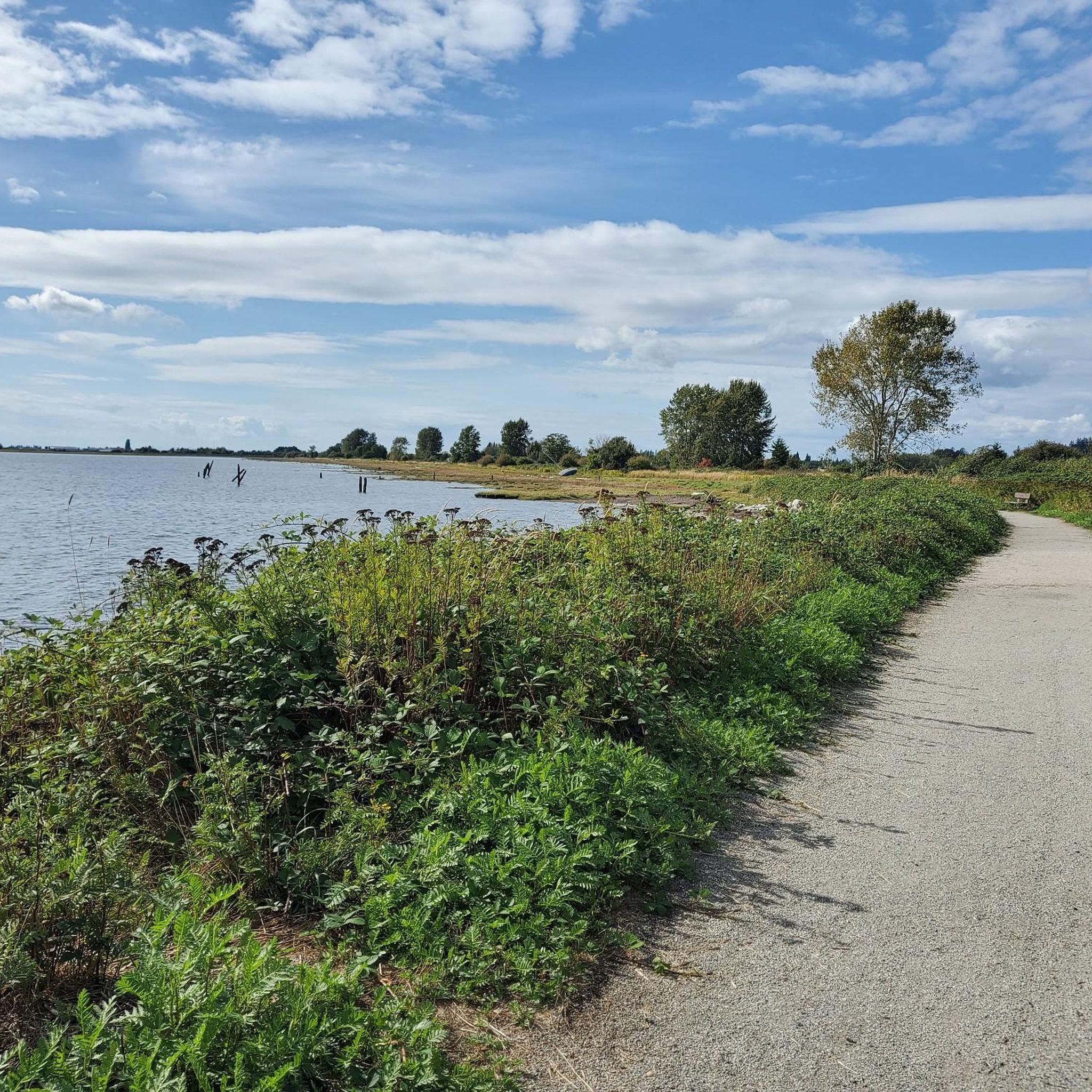
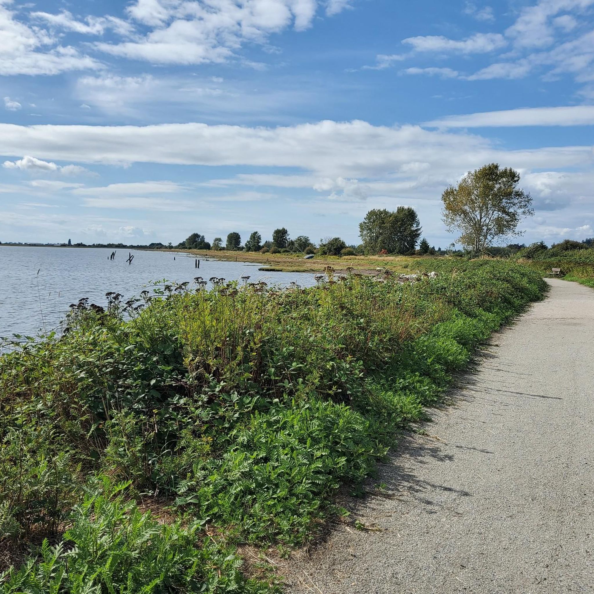
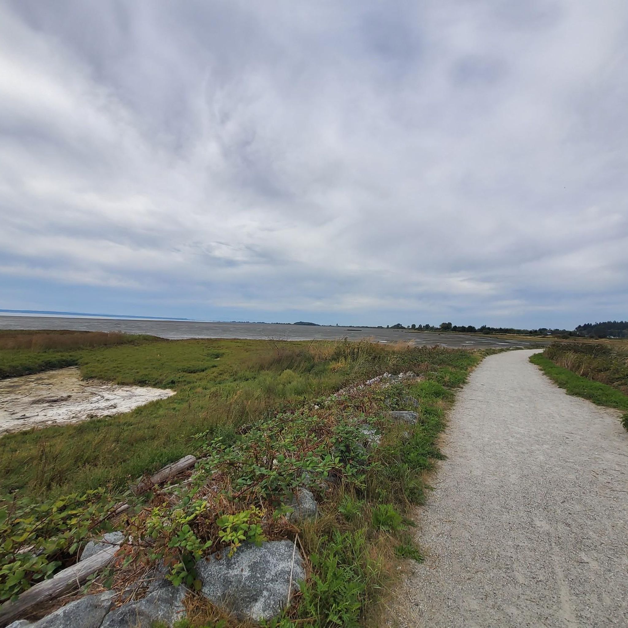
Tips from the Community

These wooden sculptures line the edge of the Spirit Trails. Most, but not all, of them were carved by local artist, Jordy Johnson, who calls them "spirit ninjas".
0
0

Visit Crescent Coffee House for great coffee and made on premises baked goods.
0
0

At the mouth of the Nicomekl River, freshwater meets the tidal expanse of Mud Bay in a vast, shifting estuary. The mix of salt and freshwater creates rich feeding grounds for herons, ducks, and migrating shorebirds, especially at low tide. It’s a quiet place to watch the tide shift and spot wildlife, and is one of the most peaceful spots at Blackie Spit Park.
0
0
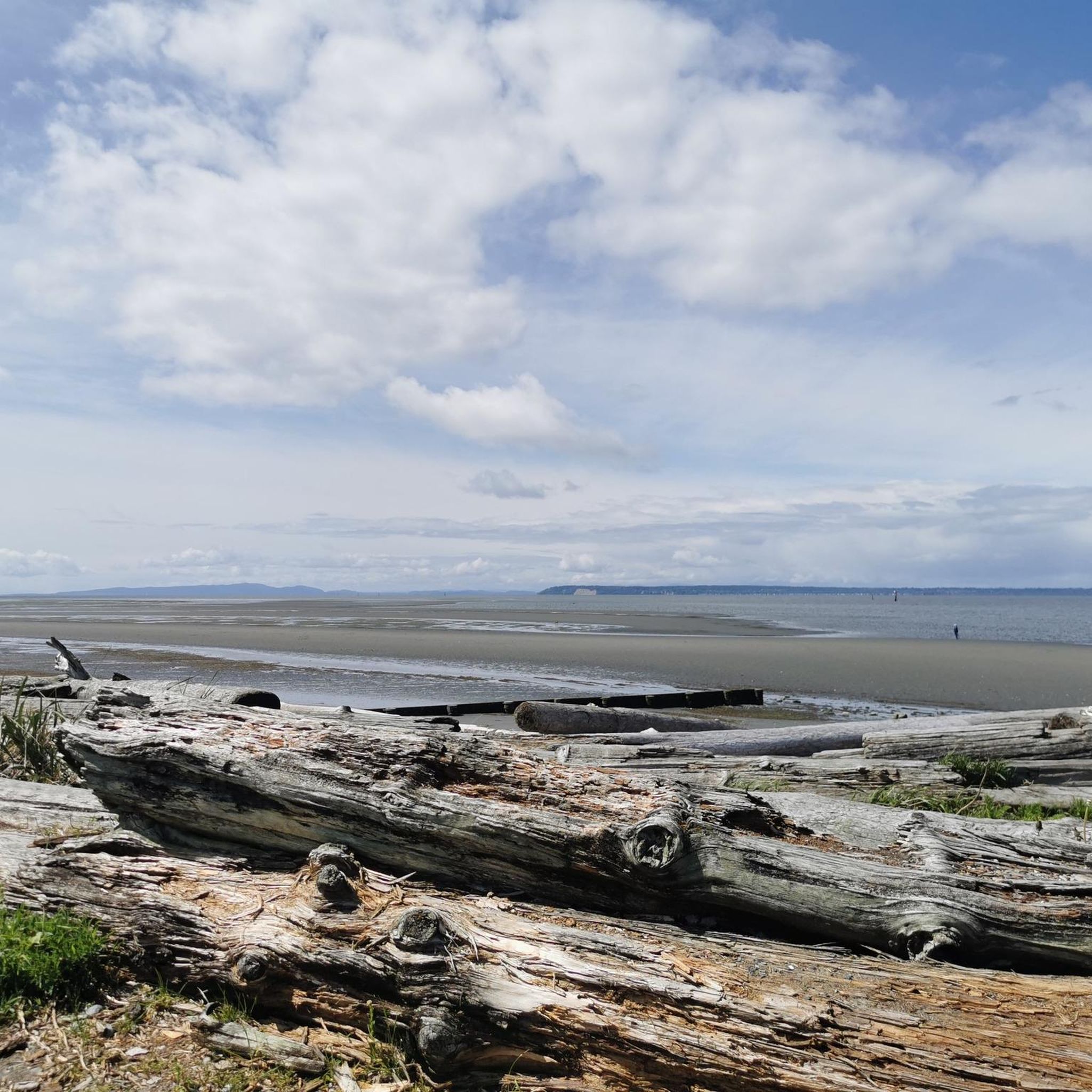
This vantage point offers a beautiful open view across Mud Bay, with tidal flats, salt marshes, and the coastal range in the distance. It’s a peaceful spot to watch for herons and waterfowl, enjoy a sunset, or simply take in the quiet expanse of the bay.
0
0
Blackie Spit Park is a picturesque coastal spot with sandy beaches, tidal flats, and salt marshes. There is a 5-kilometre nature trail, picnic areas, restrooms, and two fenced off-leash zones for dogs, making it ideal for a relaxed walk or spending a few hours enjoying the scenery. As part of the Pacific Flyway, it’s a top birdwatching spot, especially in spring and fall. While you’re here, you’ll see plenty of shorebirds, waterfowl, and seasonal migrants like sandpipers and sparrows, and if you’re lucky, an occasional bald eagle flying overhead.
0
0

Park around a sandy spit with abundant bird life, a 5-km. nature trail & an off-leash dog area.
0
0
Frequently Asked Questions
What kind of terrain can I expect on running routes in Fraser River Delta -- Ramsar?
The Fraser River Delta -- Ramsar region is characterized by extensive dyke systems, offering over 300 kilometers of flat, wide gravel paths with minimal elevation changes. You'll also find diverse coastal and estuarine habitats, including intertidal mudflats and marsh areas, as well as unique bog ecosystems like those in the Delta Nature Reserve. These varied landscapes provide a mix of surfaces, from gravel to boardwalks, suitable for different running preferences.
Are there running routes suitable for beginners or those looking for an easy jog?
Yes, the region offers a variety of routes for all skill levels. For an easy jog, consider the Mud Bay Viewpoint – Nicomekl Estuary loop from Blackie Spit Environmental Sensitive Area, which is 3.0 miles (4.8 km) and leads through coastal and estuarine habitats. Overall, there are 23 easy routes available in the Fraser River Delta -- Ramsar area.
What are some notable natural features or landmarks I might see while jogging in the Fraser River Delta?
Jogging here offers views of diverse natural features. You can experience sweeping panoramic views of the Fraser River, surrounding farmlands, and distant mountains from the dyke systems. Specific areas like the Delta Nature Reserve (part of Burns Bog) showcase unique plant life such as sphagnum moss and skunk cabbage. You might also spot migratory birds in the coastal and estuarine habitats. For specific landmarks, consider visiting the White Rock Pier and Waterfront or the Iona Beach.
Are there any circular running routes in the Fraser River Delta -- Ramsar region?
Yes, many of the running routes in the Fraser River Delta -- Ramsar are designed as loops, allowing you to start and finish at the same point. For example, the Green Slough loop from Delta is a moderate 4.3 miles (6.9 km) path that offers riverfront and agricultural scenery in a circular format. The Centennial Beach loop from Pebble Hill is another popular circular option.
What is the best time of year to go running in the Fraser River Delta -- Ramsar?
The Fraser River Delta -- Ramsar is a critical stopover and wintering ground for millions of migratory birds along the Pacific Flyway. This makes autumn and winter particularly interesting for wildlife observation while running. However, the flat dyke systems are generally accessible year-round. Spring and summer offer milder weather, but be prepared for potential sun exposure on open dykes. Always check local weather conditions before heading out.
Are there any dog-friendly running trails in the Fraser River Delta -- Ramsar?
While the region is ecologically sensitive, many parks and trails within the Fraser River Delta -- Ramsar are dog-friendly, often requiring dogs to be on a leash. For example, Boundary Bay Regional Park, with its extensive dyke system, is a popular spot for runners with dogs. Always look for specific signage at trailheads regarding pet regulations to ensure a pleasant experience for everyone and to protect local wildlife.
How many running routes are available in the Fraser River Delta -- Ramsar area?
There are over 270 running routes available in the Fraser River Delta -- Ramsar region, catering to various fitness levels and preferences. This includes 23 easy routes, over 200 moderate routes, and 46 difficult routes, ensuring there's something for every runner.
What do other runners say about the trails in Fraser River Delta -- Ramsar?
The running routes in Fraser River Delta -- Ramsar are highly rated by the komoot community, with an average score of 4.5 stars from over 80 reviews. Reviewers often praise the expansive views along the dyke systems, the flat and accessible terrain, and the opportunities for wildlife observation, especially birdwatching. Many appreciate the tranquility and natural beauty of the area.
Are there any running routes that offer views of the Fraser River?
Absolutely! Many routes provide excellent views of the Fraser River and its sloughs. For instance, the Green Slough loop from Delta winds through areas with riverfront scenery. Deas Island Regional Park also features trails like Tinmaker's Walk and Riverside Walk, which offer direct river views.
Where can I find parking for running trails in the Fraser River Delta -- Ramsar?
Many popular jogging destinations within the Fraser River Delta -- Ramsar, such as Boundary Bay Regional Park and Deas Island Regional Park, offer designated parking areas. For example, the Centennial Beach loop from 72nd Street Trail Access starts from a known access point, implying parking availability. It's always advisable to check specific park or trailhead information for parking details before your visit.
Are there any routes that are particularly good for spotting wildlife?
The Fraser River Delta -- Ramsar is globally significant for its wildlife, especially birds. Routes in areas like Alaksen National Wildlife Area (on Westham Island) are excellent for birdwatching. The Roberts Bank trail there follows the Fraser River shoreline and includes an observation deck. South Arm Marshes also features a lookout tower providing panoramic views, ideal for spotting marshland birds. The extensive dyke systems throughout the region also offer opportunities to observe various species in their natural habitats.
What are the typical difficulty levels for running routes in this region?
The running routes in Fraser River Delta -- Ramsar cater to a wide range of abilities. You'll find 23 easy routes, which are generally flat and well-maintained. The majority, over 200 routes, are classified as moderate, offering slightly longer distances or varied terrain. There are also 46 difficult routes for those seeking a more challenging run, such as the 9.6-mile (15.4 km) Centennial Beach loop from 72nd Street Trail Access.
Most popular routes in Fraser River Delta -- Ramsar
Most popular attractions in Fraser River Delta -- Ramsar

Get inspired with the komoot mobile app


Explore more
Browse the best Running Trails & Routes in other regions.
