The best running trails in Showh Lakes-Ancient Cedars Trail Recreation Site
4.6
(29)
1,172
runners
26
runs
Jogging in Showh Lakes-Ancient Cedars Trail Recreation Site offers a diverse landscape for runners. The region is characterized by its ancient cedar forests, providing shaded trails, and the presence of several lakes, which often feature in the running routes. The terrain generally includes varied elevations, from gentle paths along water bodies to more challenging ascents through wooded areas.
Best jogging routes in Showh Lakes-Ancient Cedars Trail Recreation Site
- The most popular jogging route is Fitzimmons River Trail loop from Alpine…
Last updated: May 28, 2026
4.0
(1)
26
runners
14.2km
01:29
130m
130m
Moderate run. Good fitness required. Mostly paved surfaces. Suitable for all skill levels.
12
runners
12.0km
01:16
120m
120m
Moderate run. Good fitness required. Mostly paved surfaces. Suitable for all skill levels.

Sign up for free
30
runners
11.2km
01:10
90m
90m
Moderate run. Good fitness required. Mostly paved surfaces. Suitable for all skill levels.
17
runners
23.7km
03:48
1,190m
1,190m
Hard run. Very good fitness required. Sure-footedness, sturdy shoes and alpine experience required.
13
runners
Moderate run. Good fitness required. Mostly paved surfaces. Suitable for all skill levels.
Get access to more routes and recommendations from other explorers.
Sign up for free
Already have an account?
Our route recommendations are based on thousands of hikes, rides, and runs completed by other people on komoot.
Start today with a free account
Your next adventure awaits.
Login or Signup
Popular around Showh Lakes-Ancient Cedars Trail Recreation Site
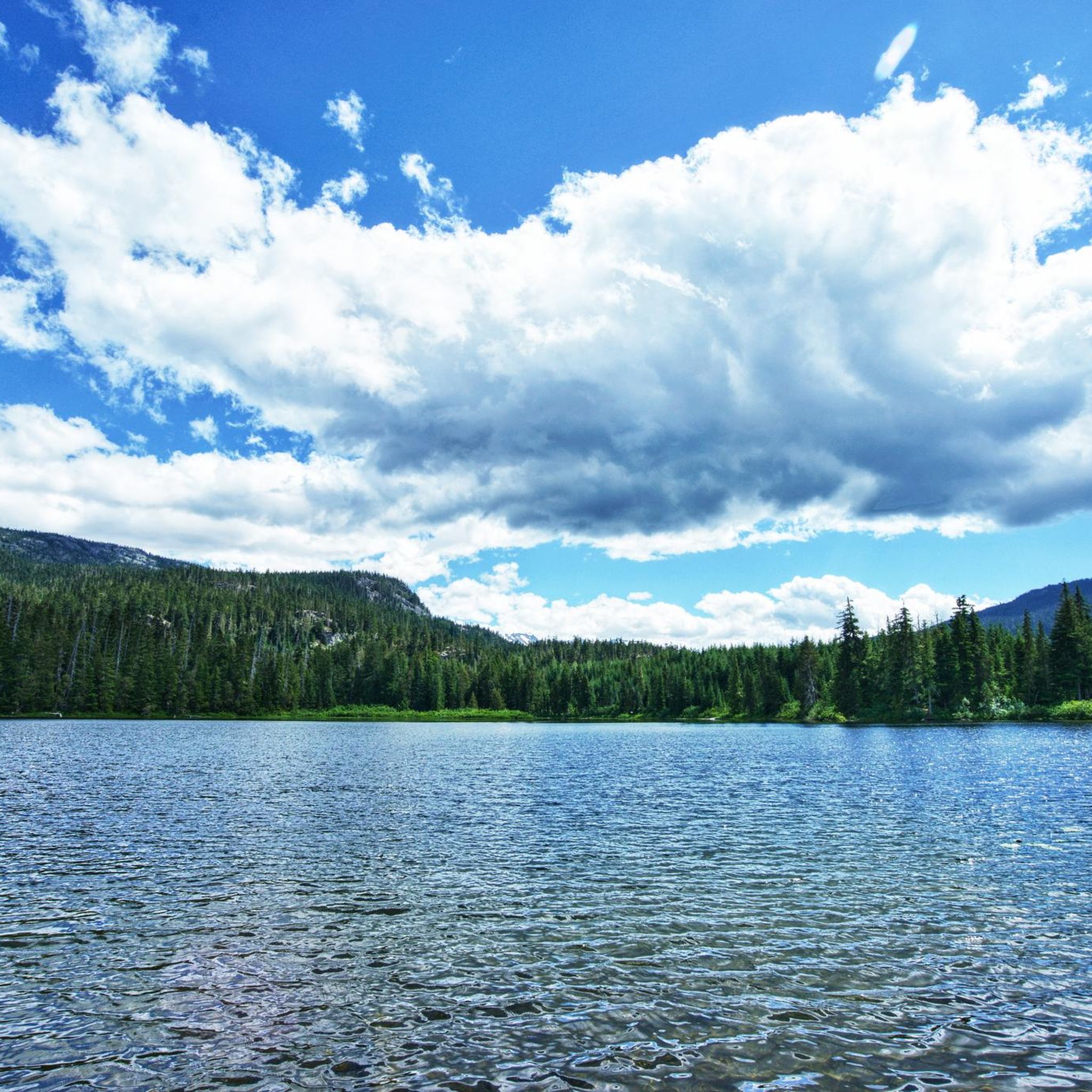
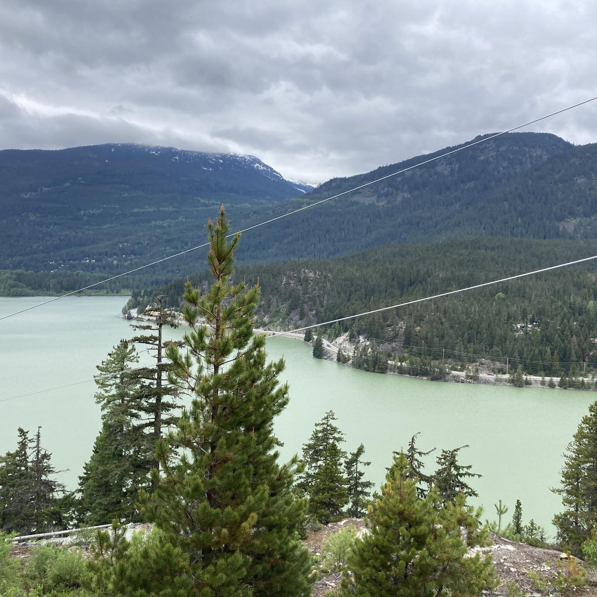
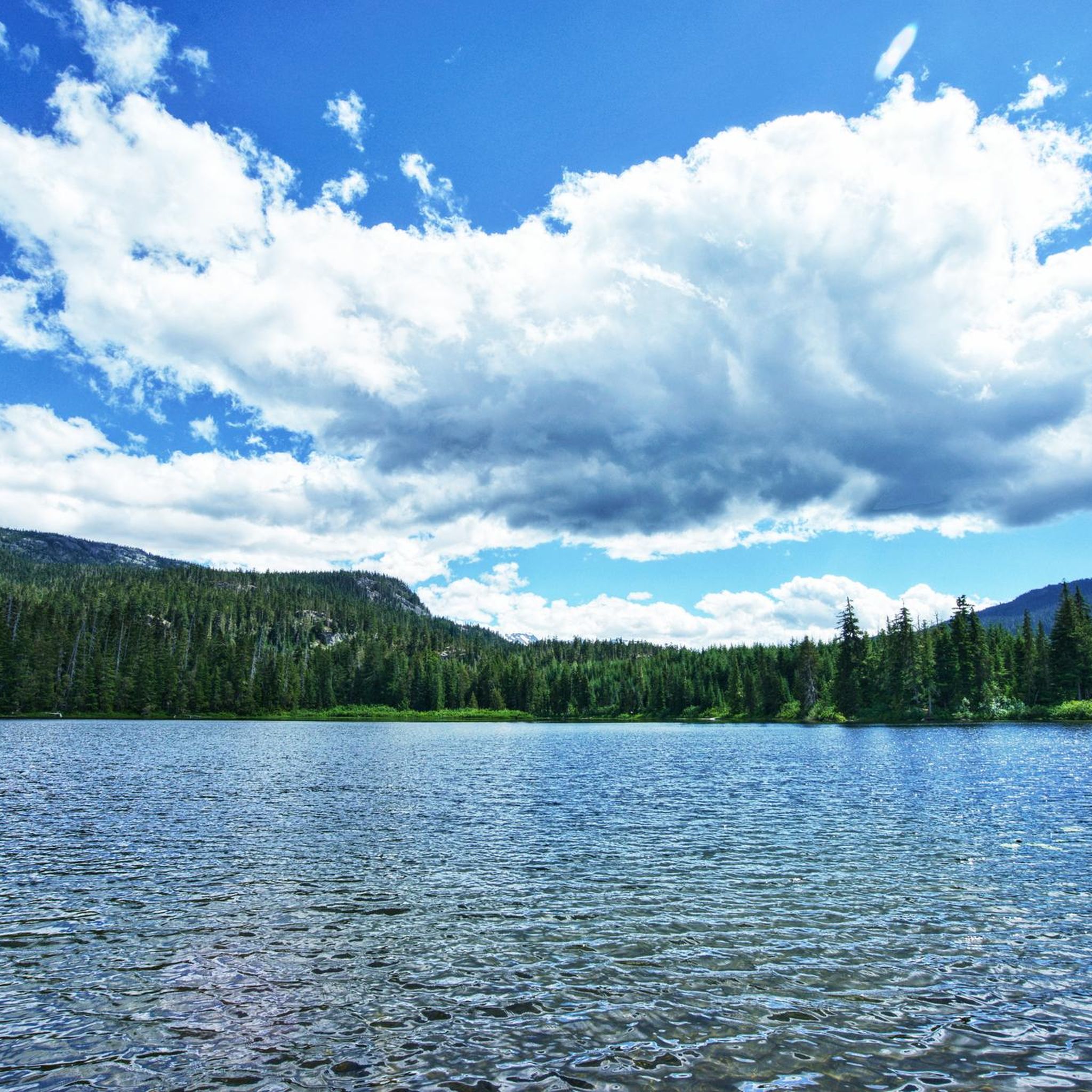
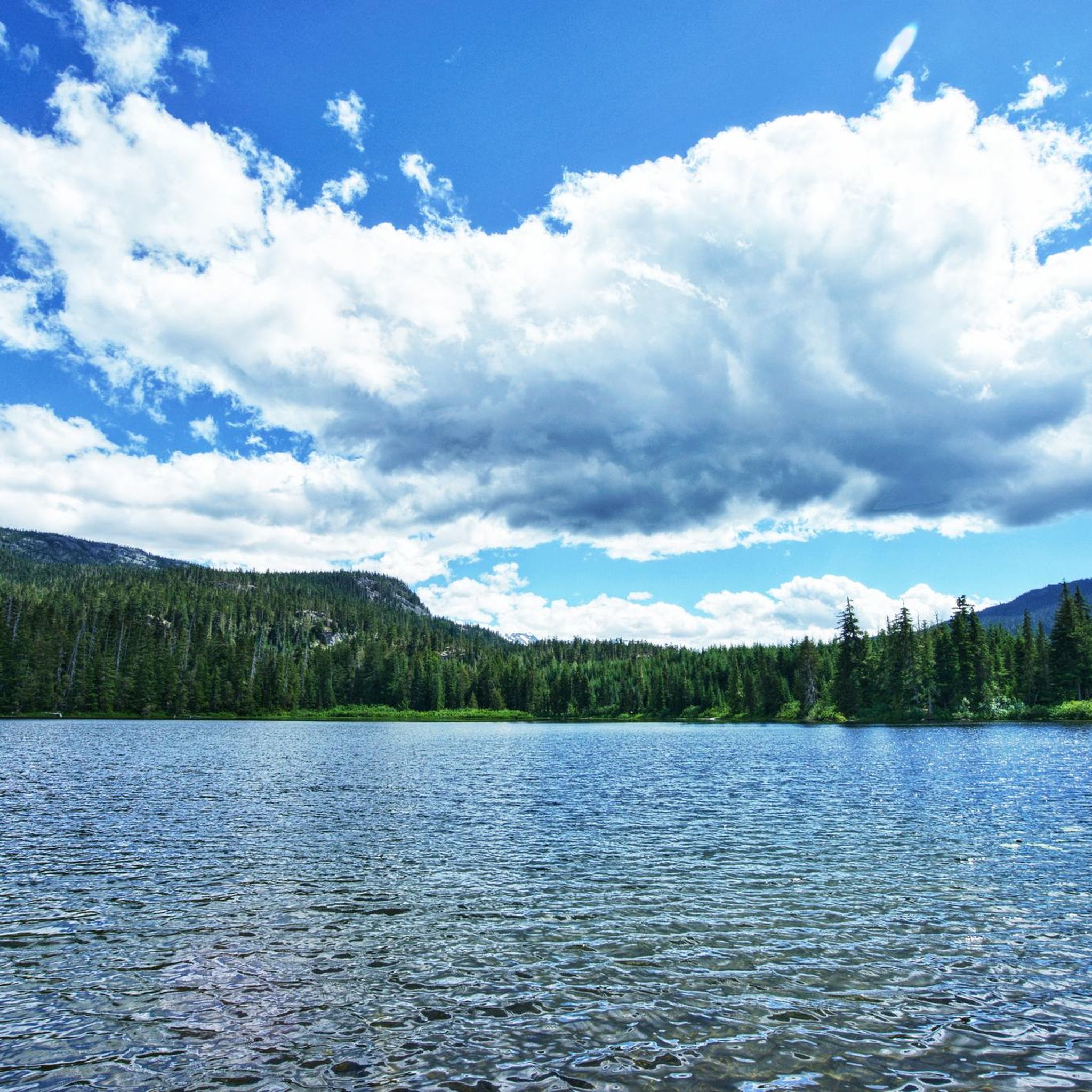
Tips from the Community

The Elephant Bridge spans 75 meters and is used by hikers and mountain bikers. The bridge was built in the 1940s to transport timber to a sawmill. Today, it's a scenic and historical site that still functions to transport people.
0
0

Screaming Cat Lake is a pristine green lake that sits right along the Skywalk North Trail. It appears suddenly between the trees, with still waters and a small island in the middle. It’s a great place to stop for a snack, recharge, and enjoy the view after the big climb up and before continuing along the Skywalk route.
0
0
19 Mile Creek Trail finishes halfway up Rainbow Mountain, right under Rainbow Glacier. This Glacier is slowly melting into Iceberg Lake, bright blue in color, and often seen with little chunks of glacier in it floating around.
0
0
19 Mile Creek Trail is marked with a red diamond blaze and is easy. In summer, there are lots of wild flowers, and in the fall, you can see wild blueberries. Be careful hiking after rain, as the trail can be muddy and challenging to hike.
1
0

After the turnoff from the Rainbow Sproat Flank Trail for mountain bikes, the Upper 19 Mile Creek Trail climbs gently and leads through a depression where Nineteen Mile Creek and smaller tributaries form a wetland. After rainfall and during snowmelt, it's virtually impossible to walk the trail, marked with a red diamond, with dry feet. Wooden boardwalks provide support in some places; the stream crossings are on simple, low-lying wooden boardwalks. The Upper 19 Mile Creek Trail ends at approximately 1,500 m elevation; the trail to Iceberg Lake at 1,600 m is then called Skywalk North. We abort the tour at approximately 1,320 m elevation because it would take too long to walk through the deep snowpack. (Visit May 30, 2025) https://www.trailforks.com/trails/upper-19-mile-creek-148555/
2
1
Green Lake is the largest lake in the Whistler region. To the north, it is the source of the Green River, which drains into the Lillooet River. Green Lake was formed during the last Ice Age, when sediment was deposited in the U-shaped valley, forming lake basins. The lake's green color is due to the glacial silt of Fitzsimmons Creek. From the wooden boardwalk on the southwest shore, we have a magnificent view of the lake and the seaplane landing. In the background, we can see the peaks of the Garibaldi Range, from Wedge Mountain to Mount Currie, including Mount Weart with the Armchair Glacier. https://www.piquenewsmagazine.com/local-news/naturespeak-awesome-geology-sites-around-whistlergreen-lake-part-2-7576124
2
0
The Lost Lake PassivHaus is the first passive house in Canada. It is located at the main entrance of Lost Lake Park. The building was initially used as accommodation for the Austrian Olympic Committee and Austrian Broadcasting, which broadcasted live to Austrian audiences during the 2010 Winter Olympics. After the Games, the Austrian Passive House Group donated it to the Municipality of Whistler. The building now serves as a day lodge, office and meeting space for the Whistler Off-road Cycling Association (WORCA) and Whistler Nordics, as well as a cross-country ski and mountain bike rental shop and a café. Source: https://www.passivehousecanada.com/projects/lost-lake-passive-house/
3
0
Frequently Asked Questions
Are there easy running routes in Showh Lakes-Ancient Cedars Trail Recreation Site?
Yes, the region offers a variety of running routes suitable for different fitness levels. There are 4 easy routes available, perfect for beginners or those looking for a relaxed jog. These trails typically feature gentler paths through the ancient cedar forests or along the tranquil lakes.
How long are the running trails in Showh Lakes-Ancient Cedars Trail Recreation Site?
The running trails in this area vary significantly in length. You can find routes ranging from shorter, more accessible paths to longer, more challenging runs. For example, the Fitzimmons River Trail loop from Alpine Meadows is 8.8 miles (14.2 km), while the Iceberg Lake – Screaming Cat Lake loop from Alpine Meadows extends to 23.4 miles (23.4 km).
Is parking available for runners in Showh Lakes-Ancient Cedars Trail Recreation Site?
While specific parking details for each trailhead are best checked on individual route pages, areas like Alpine Meadows, which serve as common starting points for many routes, generally offer parking facilities. It's always advisable to verify parking availability and any potential fees before your visit.
Are there family-friendly jogging routes in the Showh Lakes-Ancient Cedars Trail area?
Yes, many of the easier routes are suitable for families. These trails often feature well-maintained paths and less challenging terrain, making them enjoyable for all ages. Look for routes with lower difficulty ratings for the most family-friendly options.
Can I bring my dog on the running trails in Showh Lakes-Ancient Cedars Trail Recreation Site?
Many trails in natural recreation sites are dog-friendly, but it's crucial to check local regulations for specific routes. Generally, dogs should be kept on a leash to protect wildlife and ensure a pleasant experience for all trail users. Always practice Leave No Trace principles.
What is the best time of year for running in Showh Lakes-Ancient Cedars Trail Recreation Site?
The best time for running is typically during the spring, summer, and fall months when the weather is milder and trails are clear of snow. These seasons offer lush scenery and comfortable temperatures. Always check local weather conditions before heading out.
What are the conditions like for winter running in Showh Lakes-Ancient Cedars Trail Recreation Site?
Winter running can be challenging due to snow and ice, especially at higher elevations or on less-trafficked paths. Some trails may be suitable for snowshoeing or cross-country skiing, but dedicated winter running might require specialized gear like traction devices for your shoes. Always prioritize safety and check current trail conditions.
Are there circular running routes available in Showh Lakes-Ancient Cedars Trail Recreation Site?
Yes, many of the popular running routes in the area are circular, allowing you to start and end at the same point without retracing your steps. Examples include the Elephant Bridge – Green Lake loop from Alpine Meadows and the Green Lake – Lost Lake Nature Trail loop from Alpine Meadows.
What natural features or viewpoints can I expect to see while running?
The region is renowned for its ancient cedar forests, providing shaded and scenic trails. Many routes also feature tranquil lakes, such as Green Lake and Lost Lake, offering beautiful waterside views. You'll experience a diverse landscape of wooded areas and natural waterways.
What do other runners enjoy the most about jogging in Showh Lakes-Ancient Cedars Trail Recreation Site?
The area is highly rated by the komoot community, with an average score of 4.7 stars from over 20 reviews. Runners often praise the diverse landscape, including the ancient cedar forests and the serene lake views, as well as the variety of routes suitable for different ability levels.
How many running routes are available in Showh Lakes-Ancient Cedars Trail Recreation Site?
There are over 30 dedicated running routes available in the Showh Lakes-Ancient Cedars Trail Recreation Site, offering a wide range of options for runners of all skill levels.
Are there any challenging running routes for experienced runners?
Absolutely. For those seeking a greater challenge, there are 5 difficult routes available. These trails often feature significant elevation gains and more rugged terrain, providing a demanding workout. An example is the Lost Lake Loop loop from Alpine Meadows, which includes substantial elevation changes.
Most popular routes in Showh Lakes-Ancient Cedars Trail Recreation Site

Get inspired with the komoot mobile app


Explore more
Browse the best Running Trails & Routes in other regions.
