Attractions and Places To See in Brandywine Falls Provincial Park - Top 6
Best attractions and places to see in Brandywine Falls Provincial Park are situated between Garibaldi and Whistler along British Columbia's Sea to Sky Highway. The park is recognized for its 70-meter Brandywine Falls, which plunges over volcanic rock into a deep canyon. Multiple viewing platforms provide vistas of the falls, Daisy Lake, and the distinctive Black Tusk peak. The area's volcanic geology and unique pine forests define its natural landscape.
Best attractions and places to see in Brandywine Falls Provincial…
Last updated: August 15, 2026
Brandywine Falls
Highlight • Waterfall
Tip by

Whistler Bungee Bridge
Highlight • Bridge
Access to the Whistler Bungee Bridge is …
Tip by

Sign up now to discover places like this
Get recommendations on the best single tracks, peaks, & plenty of other exciting outdoor places.
Sign up for free
Pothole Lake
Highlight • Lake
Tip by
Bridge over the Cheakamus River
Highlight • Bridge
Translated by Google •
Tip by

Sea to Sky Trail: Brandywine Falls Provincial Park to Cheakamus River
Highlight (Segment) • Trail
Tip by
Sign up for free to discover even more attractions in Brandywine Falls Provincial Park.
Sign up for free
Already have an account?
Start today with a free account
Your next adventure awaits.
Login or Signup

Other adventures in Brandywine Falls Provincial Park

Tips from the Community


In a forest clearing for the power line route, there is a branch of the Sea to Sky Trail, leading north. The map and trail signs describe the trail as a recreational trail, which is not maintained. The forest trail runs at some distance along the west bank of the Cheakamus River to the Brandywine Falls Park boundary and then continues through private land to the railway line. BC Parks recommends not continuing this trail beyond the park boundary. In any case, the short stretch along several small lakes is worthwhile. The trail leads over hill and dale with gentle ups and downs. The smooth rocks at the last lake invite you to take a break and enjoy the scenery. (Visit May 25, 2025)
2
0
Pothole Lake is one of numerous small lakes in the landscape known as Lakes of Fire. The plain was formed by a lava flow, which created hollows that filled with water, leaving no outlet. The lake is located on the Sea-to-Sky Trail, a few meters from the Whistler Bungee Bridge, on the plain above the Cheakamus River Gorge. A table set is available for enjoying the view of the lake and taking a break. (Visit May 24, 2025)
2
0
The Whistler Bungee Bridge crosses the Cheakamus River Gorge at a height of 50 meters. Bungee jumping has been offered year-round since 2002. Access to the Whistler Bungee Bridge is via the Sea-to-Sky Trail parking lot near Brandywine Falls or by vehicle via the Cal-Cheak Forest Service Road, a gravel road that branches off to the east a few kilometers south of Cheakamus Crossing. https://www.whistlerbungee.com/
2
0
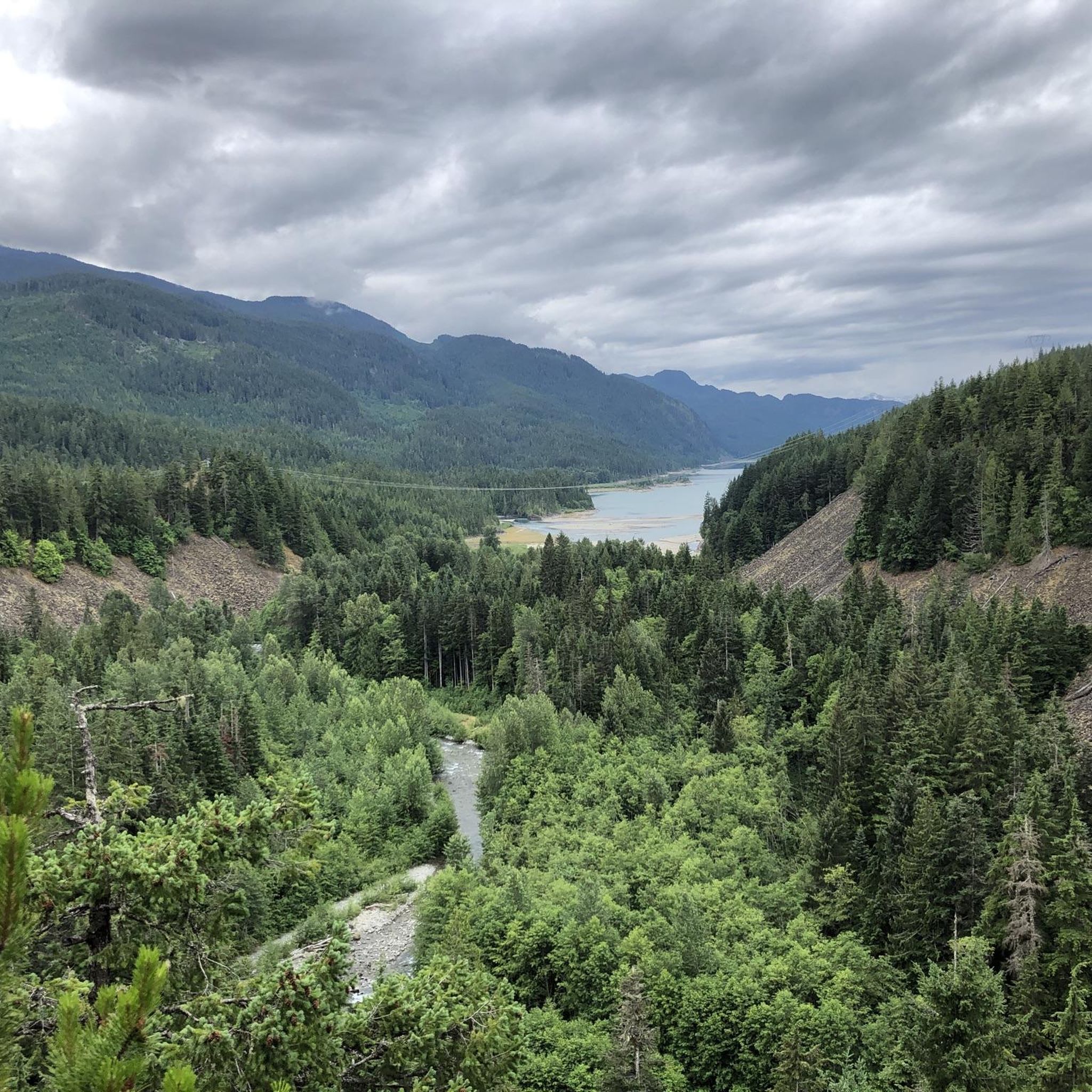
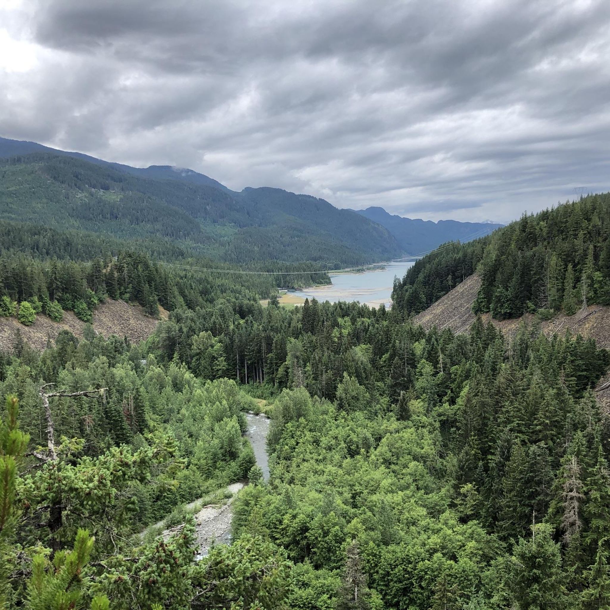
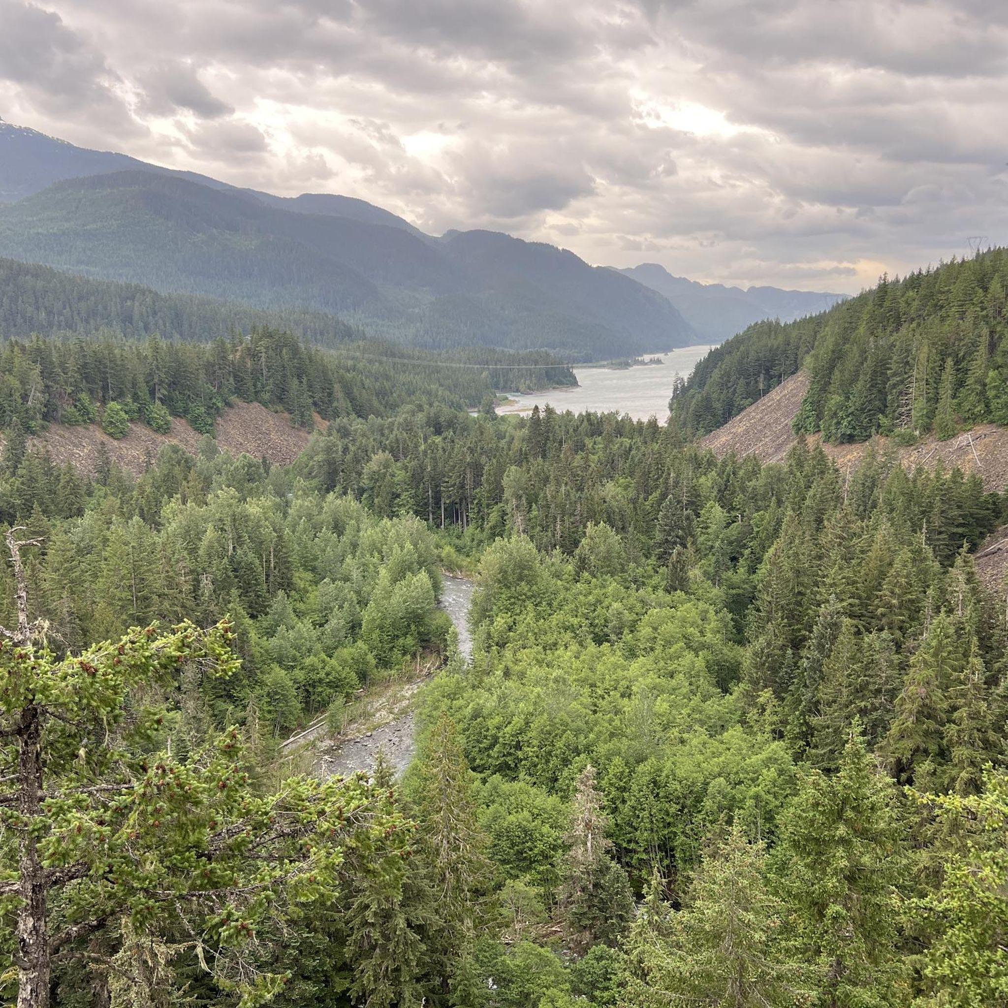
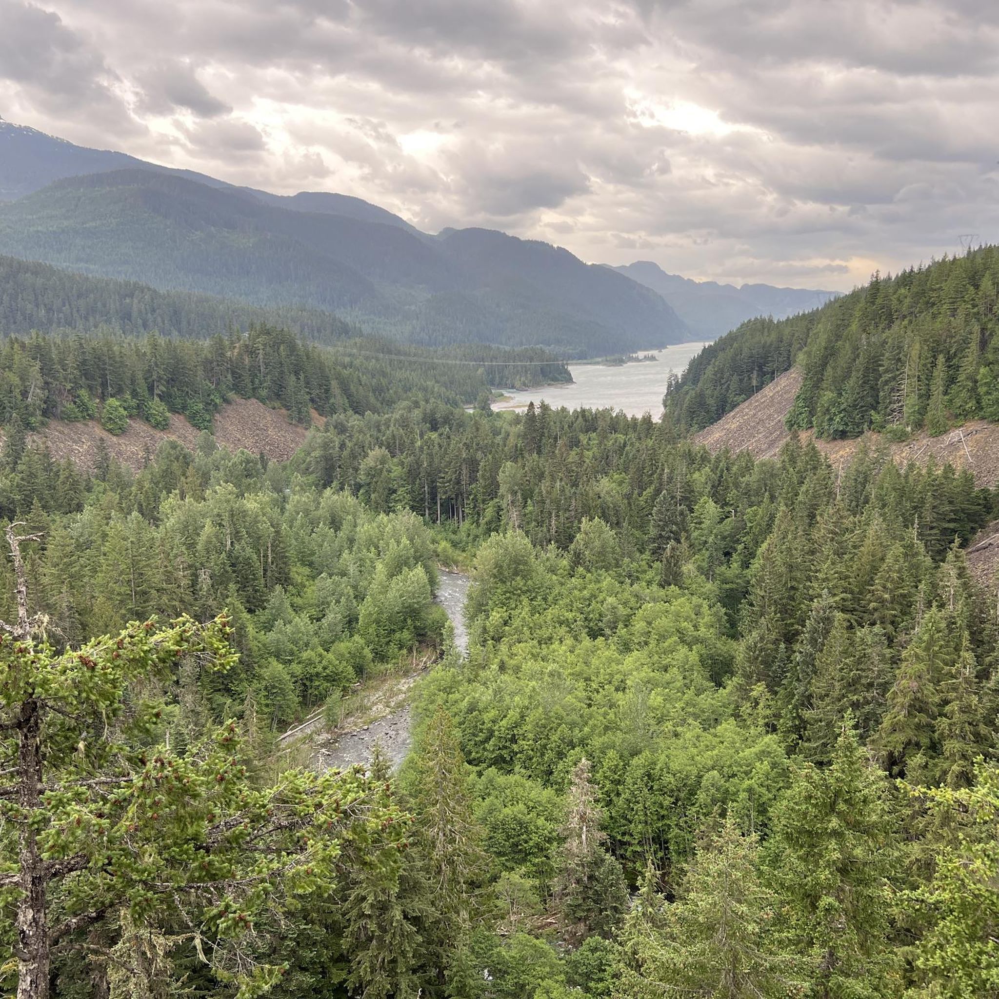
From the southern vantage point of Brandywine Falls, you have a magnificent view of Daisy Lake Reservoir and Black Tusk Mountain in the Garibaldi Ranges of the Coast Mountains. The Daisy Lake Reservoir was created in 1926 after the construction of the Cheakamus Dam; the dam was replaced in 1984. The reservoir is part of the Cheakamus Hydroelectric Power Plant on the Squamish River. https://www.bchydro.com/energy-in-bc/operations/transmission-reservoir-data/previous-reservoir-elevations/lower-mainland/daisy_lake_dsy.html
0
0
Brandywine Falls is a popular waterfall along the Sea-to-Sky Corridor between Vancouver and Whistler. The falls plunge 59 meters over a cliff that was carved into a deep canyon by eruptions from the nearby Garibaldi volcanic field and the erosive power of Brandywine Creek. Brandywine Creek originates from two glaciers on Brandywine Mountain and Mount Fee. The name of the Falls is said to come from a bet between two Canadian Pacific Railroad workers who bet on the height of the Falls. There are different estimates of the height of the Falls: BC Provincial Park Service - 70 meters; other sources - 65 meters. Measurements in May 2018 showed a height of 59 meters. (Visit June 5, 2018 & May 24, 2025) https://www.worldwaterfalldatabase.com/waterfall/Brandywine-Falls-2036
2
0

This bridge is an important structure that allows the crossing of the Cheakamus River, known for its fast-moving waters and picturesque landscapes. The surrounding area is popular for outdoor activities such as hiking, mountain biking and fishing. The trails near the bridge offer spectacular views of the river and the natural environment, including dense forests and mountains. The Cheakamus River is also a popular destination for rafting and kayaking, attracting adventurers from all over the world. The best time to visit the bridge and explore the area is during spring and summer, when the weather is warmer and conditions for outdoor activities are optimal.
1
0

Brandywine Falls is a spectacular 70 meter waterfall that gave this park its name. This park also offers visitors the chance to enjoy beautiful views of Daisy Lake and the surrounding mountains.
1
0
Frequently Asked Questions
What natural features can I explore in Brandywine Falls Provincial Park?
Beyond the iconic Brandywine Falls, the park offers diverse natural attractions. You can enjoy panoramic views of Daisy Lake and the distinctive Black Tusk peak from various viewpoints, such as the View of Daisy Lake and Surroundings. The park's volcanic geology is evident in features like Pothole Lake, formed by ancient lava flows, and unique pine forests. You can also discover smaller bodies of water like Swim Lake, nestled within the woodland.
What hiking trails are available in Brandywine Falls Provincial Park?
The park features a network of trails for various skill levels. The most popular is the easy 1-1.2 km round-trip Brandywine Falls Trail, leading to the main falls viewpoints. A section of the longer Sea to Sky Trail also runs through the park, offering opportunities for hiking and biking, including a 1.5 km section towards the Whistler Bungee Bridge. For a different experience, the 2.7 km Lava Lake Trail winds through pine forests and past small lake areas. You can find more detailed hiking routes in the Hiking in Brandywine Falls Provincial Park guide.
Are there family-friendly activities or trails in Brandywine Falls Provincial Park?
Yes, Brandywine Falls Provincial Park is very family-friendly. The main Brandywine Falls trail is an easy, short walk suitable for most ages. Many viewpoints, including those overlooking Daisy Lake, are easily accessible. The park also has a day-use picnic area, perfect for families to enjoy a meal amidst nature. Highlights like Pothole Lake and the View of Daisy Lake and Surroundings are also categorized as family-friendly.
What is the best time of year to visit Brandywine Falls Provincial Park?
Brandywine Falls Provincial Park is beautiful year-round, but the best time depends on your preferred activities. Spring and fall offer pleasant temperatures for hiking and fewer crowds. Summer is popular for enjoying the trails and picnic areas. In winter, the park transforms into a snowy wonderland, with opportunities for snowshoeing, though some trails might be less accessible. The falls themselves are impressive in all seasons.
Can I visit Brandywine Falls Provincial Park in winter?
Yes, Brandywine Falls Provincial Park is accessible in winter. While some facilities or trails might have limited access due to snow, the main viewing platforms for Brandywine Falls are generally maintained. It's a popular spot for snowshoeing, offering a unique perspective of the frozen landscape. Always check local conditions before your visit during winter months.
Is Brandywine Falls Provincial Park dog-friendly?
Dogs are generally permitted in Brandywine Falls Provincial Park but must be kept on a leash at all times. This helps protect the park's wildlife, including provincially 'blue-listed' red-legged frogs, and ensures a pleasant experience for all visitors. Always remember to clean up after your pet.
What cultural or historical insights can I find in the park?
While primarily a natural attraction, the park offers some cultural context. A kiosk near the parking lot provides information about Squamish and Lil'wat Indigenous culture and history. The name 'Brandywine' itself has local lore, with stories suggesting it came from a wager between surveyors or an incident involving brandy. The area was historically a significant way station for travelers, with a train station and cabins in the early 1900s.
Are there opportunities for running or jogging in the park?
Yes, Brandywine Falls Provincial Park offers several trails suitable for running and jogging. For example, the Lava Lake loop and the Brandywine Falls loop are popular choices for runners, offering moderate difficulty and scenic views. You can explore more running routes in the Running Trails in Brandywine Falls Provincial Park guide.
What do visitors enjoy most about Brandywine Falls Provincial Park?
Visitors consistently praise the spectacular views of Brandywine Falls, describing it as a dramatic curtain of water. The ease of access to the main viewpoints and the well-maintained trails are also frequently highlighted. Many appreciate the opportunity to see other natural landmarks like Daisy Lake and Black Tusk, and the unique volcanic geology of the area. The peaceful atmosphere and the chance to connect with nature are also highly valued.
Is there parking available at Brandywine Falls Provincial Park?
Yes, there is a designated parking lot available at Brandywine Falls Provincial Park. It provides convenient access to the main trails and viewpoints. It's advisable to arrive earlier during peak season or on weekends as the lot can fill up quickly.
What is the Whistler Bungee Bridge and how can I access it?
The Whistler Bungee Bridge crosses the Cheakamus River Gorge at a height of 50 meters and is a popular spot for bungee jumping. It can be accessed via the Sea to Sky Trail, which runs through Brandywine Falls Provincial Park. The walk to the bridge from the main park trail is approximately 4.5 km round trip.
Most popular routes in Brandywine Falls Provincial Park

Get inspired with the komoot mobile app


Explore more
Still not found the Highlight you’re looking for? See guides of the top attractions in other regions:
