The best cycling routes in Brandywine Falls Provincial Park
4.7
(5)
172
riders
4
rides
Touring cycling routes in Brandywine Falls Provincial Park navigate a landscape characterized by dense coniferous forests, glacial-fed rivers, and significant elevation changes. The park is home to the Brandywine Falls, a 70-meter waterfall, and offers views of surrounding mountain peaks. Terrain for cycling typically includes paved and unpaved paths, often following river valleys or ascending through forested areas.
Best touring cycling routes in Brandywine Falls Provincial Park
- The most popular touring cycling route is Brandywine Falls – Brandywine Falls loop…
Last updated: August 18, 2026
5.0
(2)
20
riders
Moderate bike ride. Good fitness required. Mostly paved surfaces. Suitable for all skill levels.
1
riders
Easy bike ride. Great for any fitness level. Mostly paved surfaces. Suitable for all skill levels.

Sign up for free
51
riders
21.0km
01:21
270m
270m
Moderate bike ride. Good fitness required. Mostly paved surfaces. Suitable for all skill levels.
8
riders
12.2km
00:49
170m
170m
Moderate bike ride. Good fitness required. Mostly paved surfaces. Suitable for all skill levels.
4.5
(4)
53
riders
14.6km
00:55
140m
140m
Easy bike ride. Great for any fitness level. Mostly paved surfaces. Suitable for all skill levels.
Our route recommendations are based on thousands of hikes, rides, and runs completed by other people on komoot.
Start today with a free account
Your next adventure awaits.
Login or Signup

Other adventures in Brandywine Falls Provincial Park

Tips from the Community


Memorial Rock has become an informal place of remembrance. There are often flowers, handwritten notes, and painted stones left in memory of loved ones. Please enjoy this unofficial area peacefully and respectfully, as it is important to the community.
1
0

The lakes around Whistler, Alta Lake, Nita Lake, and Lost Lake, aren't that great to look at: swimming lakes, built-up areas, etc. Canada has something completely different to offer.
0
0

Lakeside Park is located on the southeast shore of Alta Lake. During the summer months, the beach is used for swimming. https://www.whistler.ca/parks-recreation-culture/parks/lakeside-park/
2
0
Alta Lake was formed by glacial retreat and subsequent sediment deposition, creating depressions that filled with meltwater. Alta Lake and other nearby lakes, such as Green Lake, are part of a large watershed whose waters flow north to the Lillooet River and south to the Cheakamus River. Historically, water flowed both north and south from Alta Lake, which lies at the top of the pass. This natural dual drainage system of the lake ended with the arrival of settlers. https://fireandicegeoregion.ca/geosite/whistler-valley-lakes-and-watershed-divide/
2
0

A quiet place next to the river to remember. Our Spirits are Free like the Rivers that flow from the Mountains to the Sea. Live your Dreams.
0
0
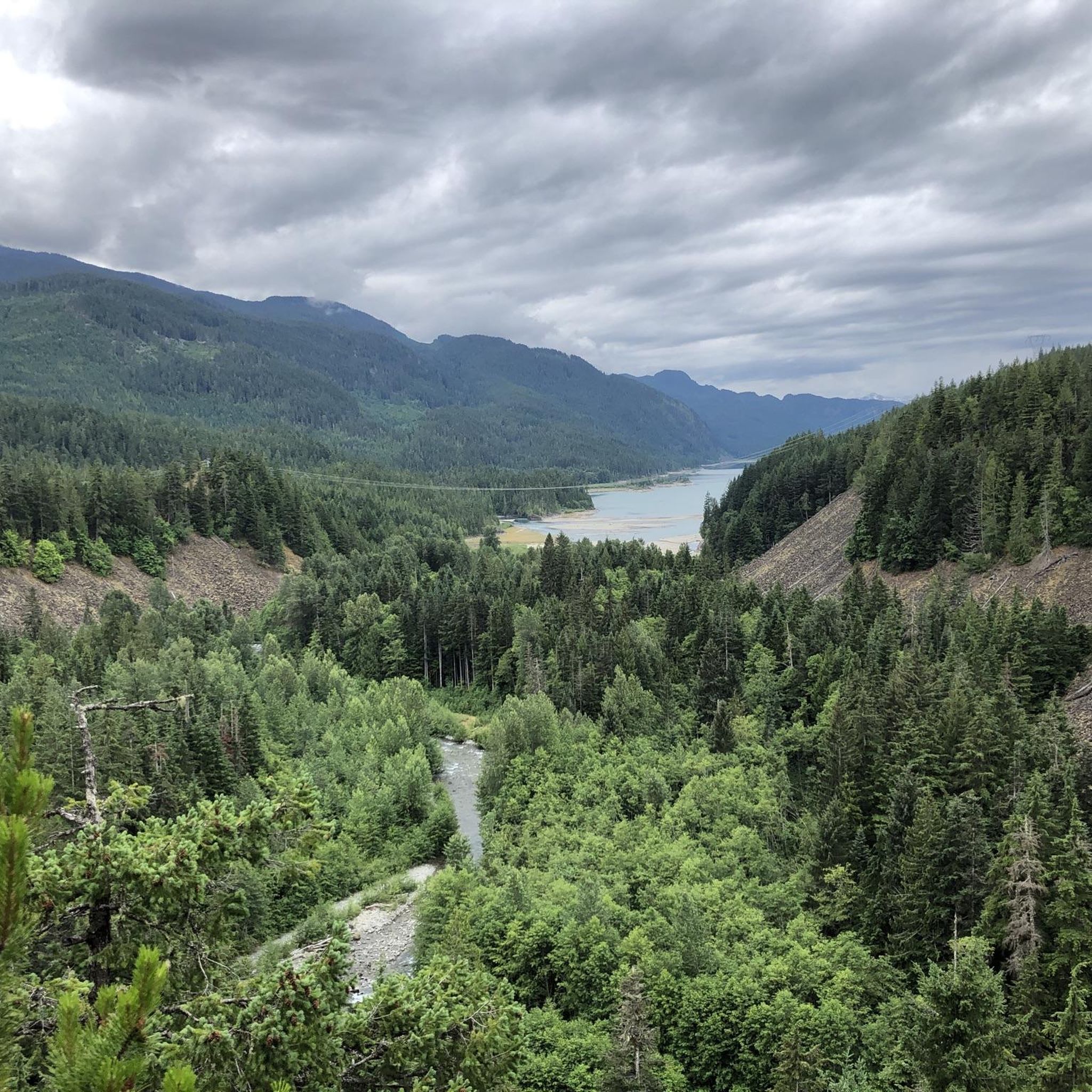
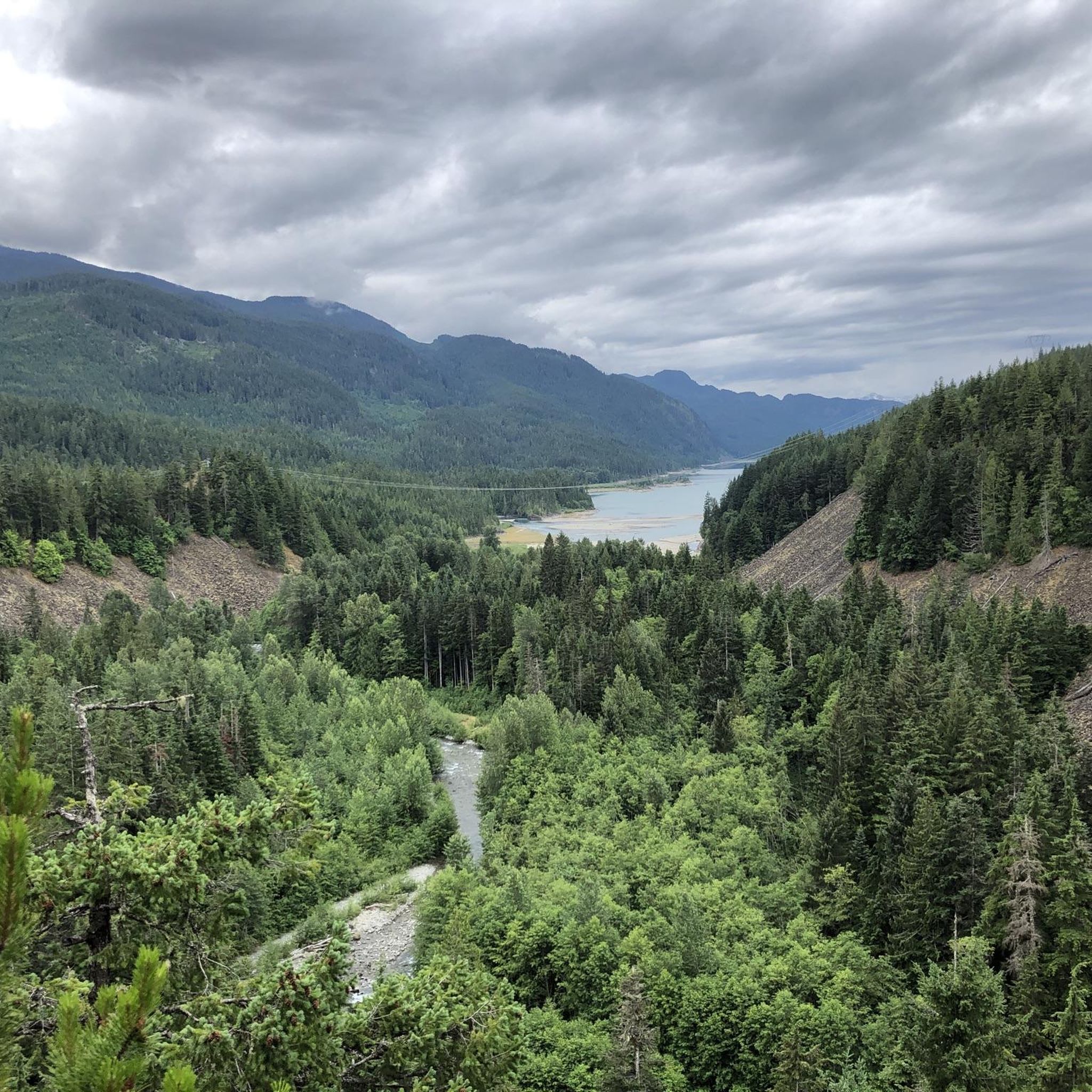
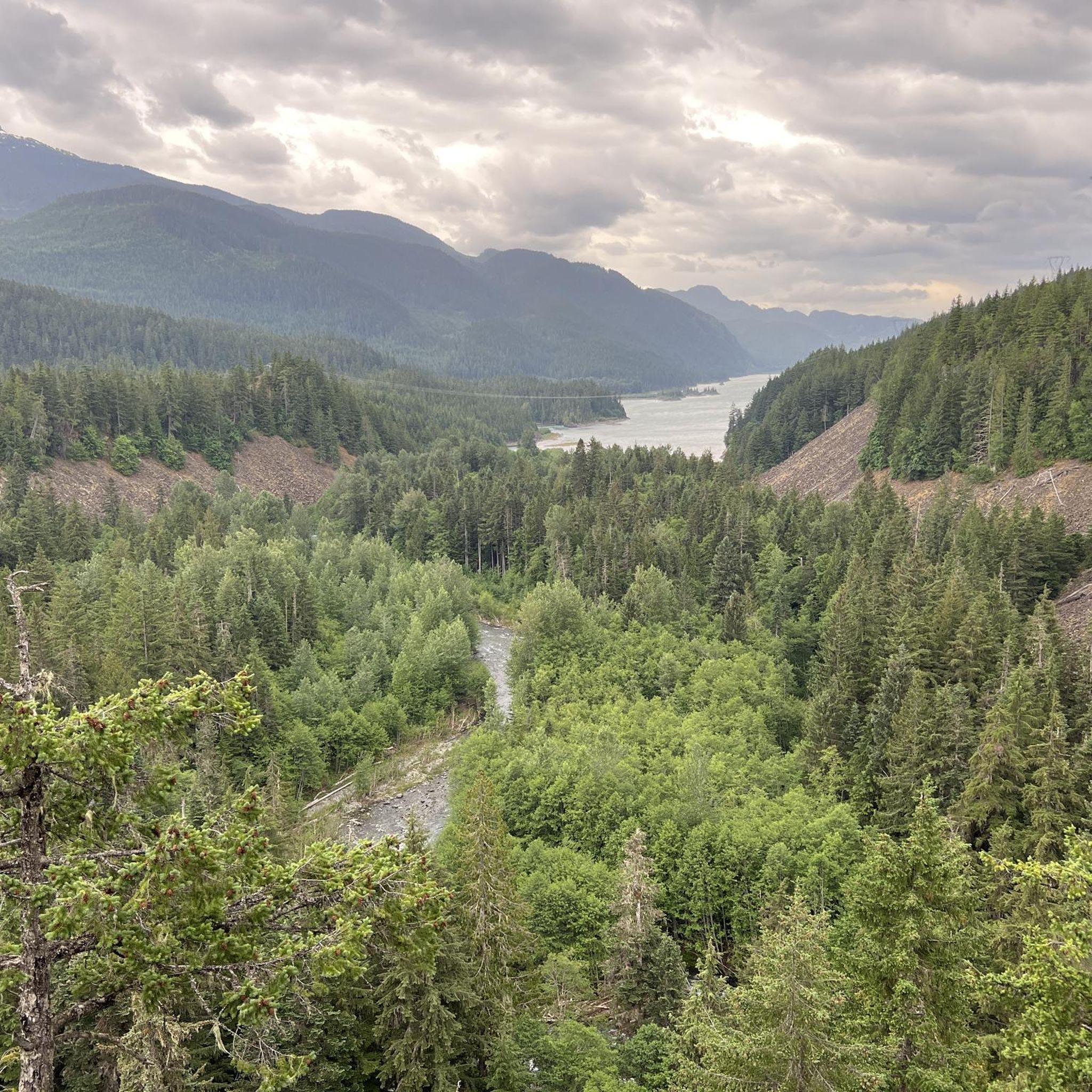
The Cheakamus River flows south through a 50-meter-deep, densely forested rocky gorge. In the distance, we can see the striking rocky peak of The Black Tusk.
2
0
The Whistler Bungee Bridge crosses the Cheakamus River Gorge at a height of 50 meters. Bungee jumping has been offered year-round since 2002. Access to the Whistler Bungee Bridge is via the Sea-to-Sky Trail parking lot near Brandywine Falls or by vehicle via the Cal-Cheak Forest Service Road, a gravel road that branches off to the east a few kilometers south of Cheakamus Crossing. https://www.whistlerbungee.com/
2
0
Frequently Asked Questions
How many touring cycling routes are available in Brandywine Falls Provincial Park?
There are 5 touring cycling routes in Brandywine Falls Provincial Park documented on komoot, offering a range of experiences from easy rides to more challenging moderate routes.
Are there any easy touring cycling routes suitable for beginners or families?
Yes, there is one easy touring cycling route. The Brandywine Falls – Brandywine Falls loop from Brandywine Falls Provincial Park is a relatively flat 9.8 km path, ideal for those seeking a relaxed ride through scenic parkland.
What kind of terrain can I expect on touring cycling routes in Brandywine Falls Provincial Park?
The terrain for touring cycling in the park typically includes a mix of paved and unpaved paths. Routes often follow river valleys or ascend through forested areas, navigating a landscape of dense coniferous forests and glacial-fed rivers.
What are some notable natural attractions or viewpoints along the cycling routes?
The park is home to the iconic Brandywine Falls, a 70-meter waterfall, which is a central feature of many routes. You can also find stunning vistas like the View of Daisy Lake and Surroundings, and serene spots like Pothole Lake and Swim Lake.
Are there any circular touring cycling routes in the park?
Yes, several routes are designed as loops, allowing you to start and end at the same point. Examples include the moderate Brandywine Falls – Brandywine Falls loop from Brandywine Falls Provincial Park and the Nita Lake loop from Cheakamus Crossing.
What do other touring cyclists say about their experience in Brandywine Falls Provincial Park?
The touring cycling routes in Brandywine Falls Provincial Park are highly rated by the komoot community, with an average score of 4.5 stars. Cyclists often praise the beautiful natural scenery, including the waterfalls and mountain vistas, and the varied forest and lakeside scenery.
Is there parking available at the trailheads for touring cyclists?
Brandywine Falls Provincial Park offers designated parking areas, particularly near the main Brandywine Falls viewpoint and other popular access points. It's advisable to check specific trailhead information for the route you plan to ride.
Can I bring my dog on the touring cycling routes?
Brandywine Falls Provincial Park has specific regulations regarding pets. Dogs are generally permitted on trails but must be on a leash at all times. Always check the official park guidelines before your visit to ensure compliance.
What is the best time of year for touring cycling in Brandywine Falls Provincial Park?
The best time for touring cycling is typically from late spring through early autumn (May to October) when the weather is mild, and trails are clear of snow and ice. This period offers the most comfortable conditions to enjoy the park's natural beauty.
Are there any longer touring cycling routes for more experienced riders?
For more experienced riders looking for a longer challenge, the Brandywine Falls – Brandywine Falls loop from Brandywine Falls Provincial Park covers 28.0 km with moderate difficulty, while the Sea to Sky Whistler South – Nita Lake loop from Cal Cheak Callaghan Camp offers 25.1 km through varied forest and lakeside scenery.
What should I pack for a touring cycling trip in Brandywine Falls Provincial Park?
Given the varied terrain and potential for elevation changes, it's recommended to pack layers of clothing, rain gear, sufficient water and snacks, a basic bike repair kit, and a first-aid kit. Always check the weather forecast before heading out.
Are there any facilities like cafes or restrooms near the cycling routes?
Within Brandywine Falls Provincial Park, facilities are generally limited to restrooms and picnic areas. For cafes and more extensive amenities, you would typically need to visit nearby communities like Whistler, which is a short drive away.
Most popular routes in Brandywine Falls Provincial Park
Most popular attractions in Brandywine Falls Provincial Park

Get inspired with the komoot mobile app


Explore more
Browse the best Cycling routes in other regions.
