The best walks and hikes in Okanagan Mountain Provincial Park
4.8
(62)
664
hikers
35
hikes
Hiking trails in Okanagan Mountain Provincial Park traverse over 10,000 hectares of rugged terrain, characterized by diverse ecosystems from dry bunchgrass zones to interior Douglas fir and spruce-fir forests. The park features steep canyons, mountain lakes like Baker Lake and Divide Lake, and a 20-mile (33 km) shoreline along Okanagan Lake with secluded bays. Geological formations include glaciated rock terrain with drumlins and striations, alongside vast areas of old-growth Ponderosa pine and Douglas fir.
Best hiking trails in Okanagan Mountain Provincial Park
- The most popular hiking route is Big Sagebrush and Mountain Goat Trail, a 3.4 miles (5.5 km) trail that takes 2 hours 10 minutes to complete. This moderate route offers varied terrain and elevation changes.
- Another top favourite among local hikers is Lake Okanagan viewpoint – Pincushion Mountain Summit loop from Pincushion Mountain, an easy 2.2 miles (3.6 km) path. This trail provides views of Okanagan Lake and leads to the Pincushion Mountain Summit.
- Local hikers also love the View of Okanagan Lake loop from Carrall Park, a 3.5 miles (5.6 km) trail leading through varied landscapes, often completed in about 1 hour 27 minutes.
- Hiking in Okanagan Mountain Provincial Park is defined by diverse forests, mountain lakes, and glaciated rock formations, with options available for various ability levels.
- The routes in Okanagan Mountain Provincial Park are highly rated by the komoot community with an average score of 4.8 stars from over 40 reviews. More than 500 hikers have used komoot to explore Okanagan Mountain Provincial Park's varied terrain.
Last updated: August 18, 2026
5.0
(1)
11
hikers
20.9km
05:53
440m
440m
Hard hike. Very good fitness required. Easily-accessible paths. Suitable for all skill levels.
1
hikers
24.3km
08:18
1,280m
1,280m
Hard hike. Very good fitness required. Easily-accessible paths. Suitable for all skill levels.

Sign up for free
5.0
(1)
25
hikers
5.53km
02:10
290m
290m
Hike the moderate Big Sagebrush and Mountain Goat Trail in Goats Peak Regional Park for 3.4 miles of scenic views and a good workout.
22
hikers
6.41km
02:17
370m
370m
Moderate hike. Good fitness required. Easily-accessible paths. Suitable for all skill levels.
4.5
(2)
18
hikers
4.46km
01:53
270m
270m
Moderate hike. Great for any fitness level. Mostly accessible paths. Sure-footedness required.
Get access to more routes and recommendations from other explorers.
Sign up for free
Already have an account?
Our route recommendations are based on thousands of hikes, rides, and runs completed by other people on komoot.
Start today with a free account
Your next adventure awaits.
Login or Signup

Tips from the Community

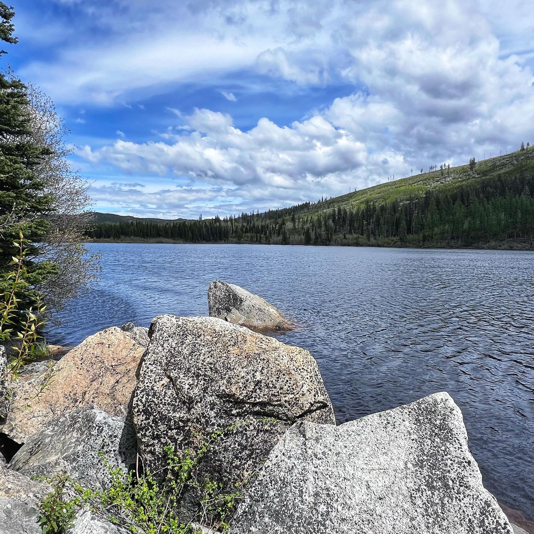
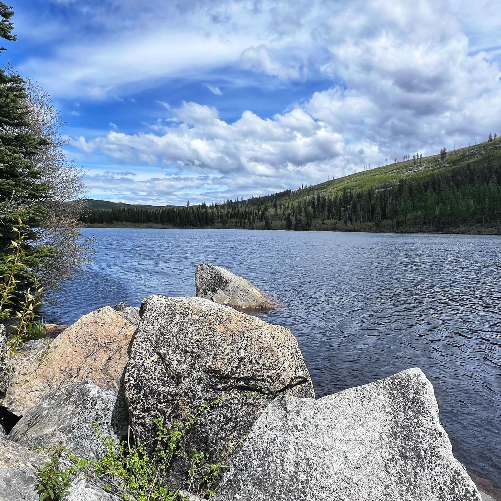
Wildhorse Canyon Trail is a long trail, 22 kilometres in total, spanning the entire length of Okanagan Mountain Park. Hikers generally tackle the trail as a day hike or a multi-day backpacking trip. The trail climbs high ridges and passes coastal connector trails, and there are quite a few elevated views of Okanagan Lake and the opposing hillsides once off the canyon floor. The canyon floor itself is also lovely, and teeming with wildlife as it's a natural travel corridor for black bears, white-tailed deer, and mule deer.
0
0
Wildhorse Canyon is a deep, glacially carved valley, surrounded by granite cliff faces, standing as a beautiful landmark in the Okanagan Valley. Before European settlement, the local Syilx (Okanagan) First Nations used the canyon as a natural trap to corral wild horses, which explains how it got its name. In 2003, the Okanagan Mountain Park Fire ripped through the area, leaving scars that can be seen today. Now hikers exploring Wildhorse Canyon Trail can see the area recovering from the burn with new growth like wildflowers, wild roses, and sagebrush.
0
0
At this point, Wildhorse Canyon takes a very sharp turn to the south-east, and Buchan Bay Trail continues straight. The Buchan Bay Trail will bring hikers a steep 1.36 kilometres steep down to Buchan Bay. Wildhorse Canyon continues another 15.2 kilometres until it meets the Mountain Goat Trail. There is a sign at the Wildhorse Canyon and Buchan Bay Trail Junction, but have offline navigation ready as well as to not risk getting turned around.
0
0

This rocky viewpoint sits beyond Goats Peak along the western ridge and is worth the extra walk with expansive views over Okanagan Lake, Seclusion Bay, and the surrounding hills. The quieter setting feels more removed than the main summit, with open rock and sparse vegetation adding to the sense of exposure. It's a picturesque turnaround point and a beautiful place to pause before retracing your steps.
0
0
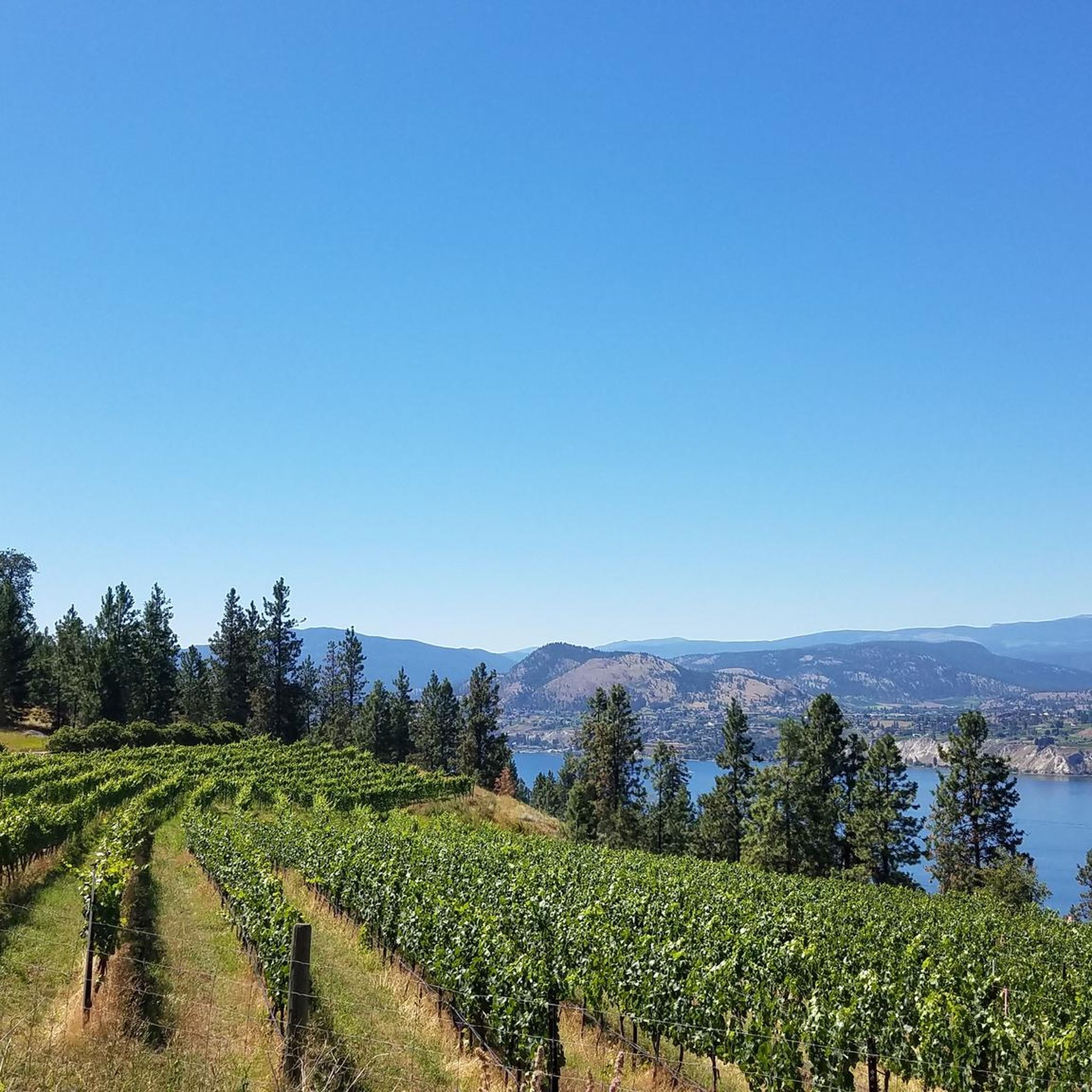
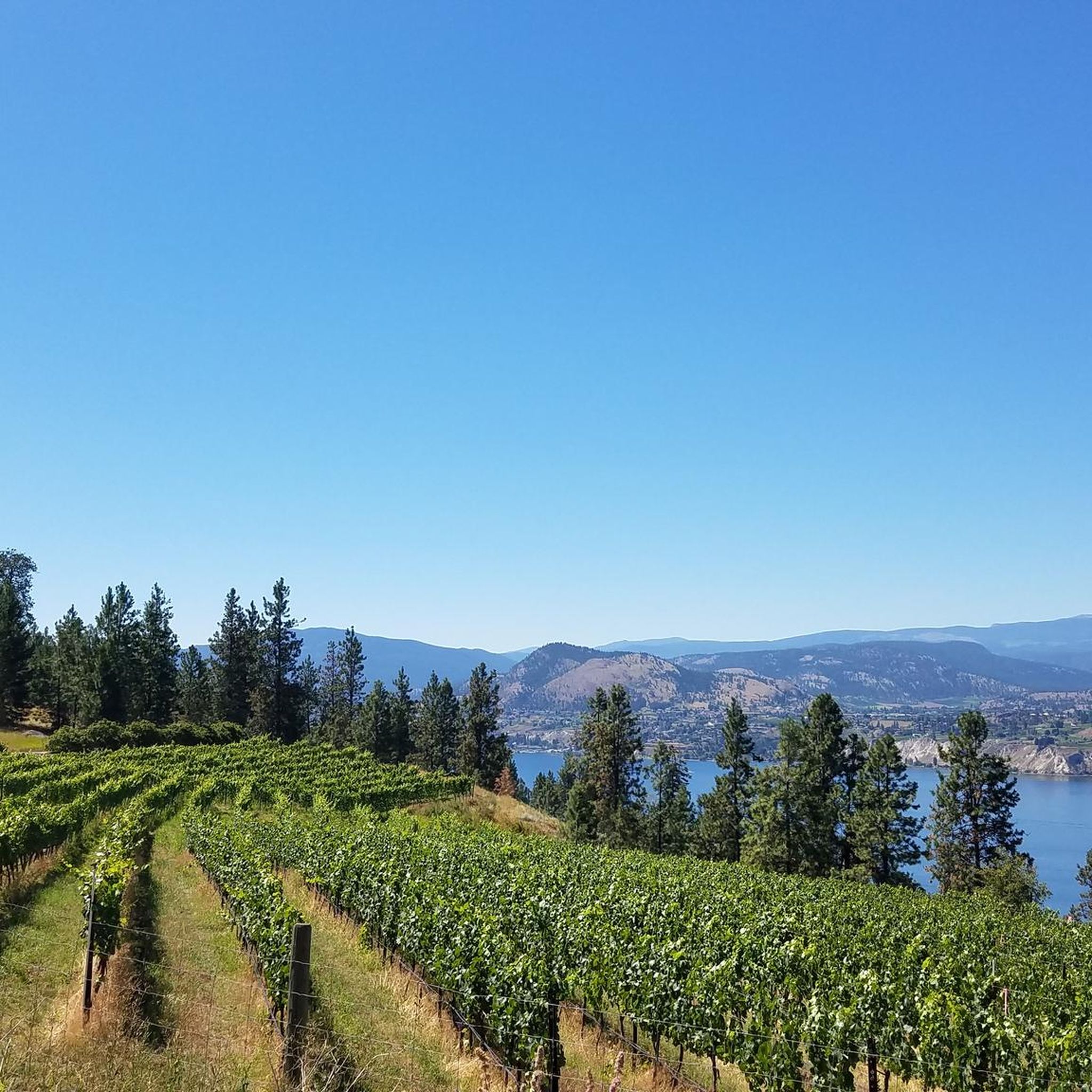
Goats Peak rises high above the western shore of Okanagan Lake, with a rocky summit with sweeping views across the lake, surrounding hills, and vineyards below. The final approach opens onto exposed rock and grassland, and is a beautiful spot within Goats Peak Regional Park that's a rewarding high point after the climb.
0
0
Mountain Goat Trail is a steep, relatively challenging route that climbs quickly through dry grasslands along a rocky hillside leading to Goats Peak. The trail gains elevation quickly as it zigzags up the mountain, with sweeping views across Okanagan Lake throughout the climb that get even better in the upper sections.
0
0
Pebble Beach sits along the shore of Okanagan Lake and is a mix of pebbly shoreline and grassy areas, and is a quieter alternative to some of the area’s busier beaches. Tucked at the end of Whitworth Road, the beach includes picnic tables, shade trees, and a volleyball court, and the sheltered shoreline makes it a popular spot for kayaking and paddleboarding. The parking lot is an ideal lakeside access point for the trails above the lake, with quick access to the beach, perfect for a place to relax after a long hike.
0
0

Rising above the eastern side of Okanagan Lake, Okanagan Mountain reaches roughly 1,579 metres and overlooks the dry interior landscapes of the southern Okanagan Valley. From higher sections of the mountain, views stretch across Okanagan Lake, surrounding ridgelines and the patchwork of forest and grassland shaped by past wildfires.
0
0
Frequently Asked Questions
How many hiking trails are available in Okanagan Mountain Provincial Park?
Okanagan Mountain Provincial Park offers a wide network of over 20 interconnected trails. On komoot, you'll find 26 hiking routes, ranging from easy strolls to more challenging treks, allowing you to explore the park's diverse landscapes.
Are there easy hiking trails suitable for beginners or families in Okanagan Mountain Provincial Park?
Yes, the park has several easy trails perfect for beginners or families. For instance, the Lake Okanagan viewpoint – Pincushion Mountain Summit loop from Pincushion Mountain is an easy 3.6 km path offering great views. Another accessible option is the View of Okanagan Lake loop from Carrall Park, a 5.6 km trail through varied landscapes. The Boulder Loop Trail, mentioned in regional research, is also an easy 5 km loop through varied forest, accessible from the north parking lot.
What kind of views can I expect on hikes in Okanagan Mountain Provincial Park?
Hikers can expect breathtaking and diverse views. Trails often lead to panoramic vistas of Okanagan Lake and the Monashee Mountains, especially from higher elevations like the Okanagan Mountain Summit or Coyote Peak. You'll also encounter steep canyons, mountain lakes, and the undeveloped 33 km shoreline of Okanagan Lake with secluded bays and sandy beaches.
Are there any loop trails in Okanagan Mountain Provincial Park?
Yes, the park features several loop trails. Popular options include the easy Lake Okanagan viewpoint – Pincushion Mountain Summit loop from Pincushion Mountain and the View of Okanagan Lake loop from Carrall Park. The challenging Wildhorse Canyon trail is also a 6-mile loop, and the Boulder Loop Trail is an easy 5 km loop.
What is the best time of year to hike in Okanagan Mountain Provincial Park?
The best time to hike is generally from spring through fall. During these seasons, the weather is most favorable for exploring the diverse ecosystems, from dry bunchgrass zones to higher elevation forests. Winter hiking is possible but requires appropriate gear and awareness of changing conditions.
What wildlife might I encounter while hiking in the park?
Okanagan Mountain Provincial Park is home to diverse wildlife, including mountain goats, elk, deer, and moose. Various bird species can also be spotted. However, visitors should be aware of the presence of rattlesnakes, especially in warmer months and lower elevations.
Are dogs allowed on the trails in Okanagan Mountain Provincial Park?
While the park is a natural area, specific regulations regarding dogs can vary. It's generally recommended to keep dogs on a leash to protect wildlife and ensure the safety of other hikers. Always check the latest park regulations before bringing your pet.
Are there any challenging or strenuous hikes in Okanagan Mountain Provincial Park?
For experienced hikers seeking a challenge, the park offers strenuous options. The Okanagan Mountain Summit is a demanding 10.5-mile round trip with substantial elevation gain, rewarding hikers with panoramic views. Wildhorse Canyon also presents a challenging 6-mile loop. On komoot, you'll find 15 moderate and 1 difficult route to test your endurance.
What are some notable natural features or landmarks to look out for?
The park is rich in natural beauty. You'll find fascinating geological formations, including heavily glaciated rock terrain with classic drumlins, grooves, and striations. Vast areas are covered with significant old-growth Ponderosa pine, Douglas fir, Lodgepole pine, and Engelmann spruce trees. Mountain lakes like Baker Lake and Divide Lake are also prominent features.
Where can I find information about parking and trailheads for Okanagan Mountain Provincial Park?
Access points and parking information are typically available through official park resources. The Boulder Loop Trail, for example, is accessible from the north parking lot. For detailed trailhead locations and parking facilities, it's best to consult the official BC Parks website or local tourism resources like Tourism Kelowna.
What do other hikers say about their experience in Okanagan Mountain Provincial Park?
The hiking experiences in Okanagan Mountain Provincial Park are highly rated by the komoot community, with an average score of 4.8 stars from over 40 reviews. Hikers often praise the diverse forests, stunning lake views, and the sense of wild adventure offered by the park's rugged terrain.
Are there any trails that lead to water features like lakes or beaches?
Yes, many trails in the park offer access to water features. The park encompasses an undeveloped 33 km shoreline along Okanagan Lake, featuring secluded bays and sandy beaches. The Wildhorse Canyon trail, for instance, offers the option to hike all the way to Okanagan Lake. Additionally, mountain lakes such as Baker Lake and Divide Lake are accessible via backcountry trails.
Most popular routes in Okanagan Mountain Provincial Park

Get inspired with the komoot mobile app


Explore more
Browse the best Hikes in other regions.
