The best walks and hikes in Baie Du Mont Saint Michel
4.6
(6926)
51,796
hikers
134
hikes
Hiking in Baie Du Mont Saint Michel offers diverse experiences across a vast tidal bay characterized by sandbanks, mudflats, salt marshes, and rocky shores. The region is shaped by exceptionally high tides and features the iconic Mont Saint-Michel Abbey on a rocky islet. Three rivers, the Couesnon, Sée, and Sélune, traverse the bay, contributing to its dynamic landscape. Coastal paths provide views of the bay and its unique ecosystem.
Best hiking trails in Baie Du Mont Saint Michel
- The most…
Last updated: August 31, 2026
4.8
(81)
416
hikers
6.71km
01:51
110m
110m
Easy hike. Great for any fitness level. Easily-accessible paths. Suitable for all skill levels.
4.7
(54)
261
hikers
11.5km
02:57
50m
50m
Moderate hike. Good fitness required. Mostly accessible paths. Sure-footedness required.

Sign up for free
4.8
(172)
1,445
hikers
Moderate hike. Good fitness required. Easily-accessible paths. Suitable for all skill levels.
4.6
(36)
527
hikers
Easy hike. Great for any fitness level. Easily-accessible paths. Suitable for all skill levels.
4.6
(23)
77
hikers
Easy hike. Great for any fitness level. Easily-accessible paths. Suitable for all skill levels.
Get access to more routes and recommendations from other explorers.
Sign up for free
Already have an account?
Our route recommendations are based on thousands of hikes, rides, and runs completed by other people on komoot.
Start today with a free account
Your next adventure awaits.
Login or Signup
Popular around Baie Du Mont Saint Michel
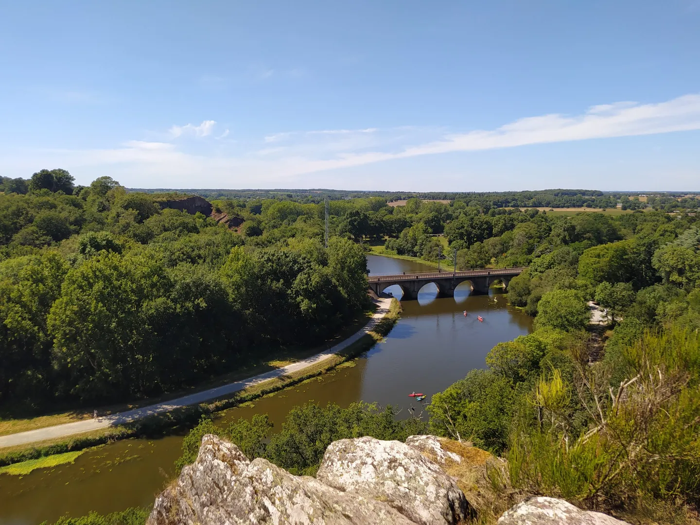
The GR 39 — On the historical traces of Brittany
The Customs Officers’ Path – GR 34 between Saint-Malo and Pontorson
History and gastronomy - La Régalante
Coastlines of the English Channel — Tour de Manche
Cycling in Baie Du Mont Saint Michel
Running Trails in Baie Du Mont Saint Michel
MTB Trails in Baie Du Mont Saint Michel
Road Cycling Routes in Baie Du Mont Saint Michel

Gravel biking in Baie Du Mont Saint Michel
Other adventures in Baie Du Mont Saint Michel


Tips from the Community

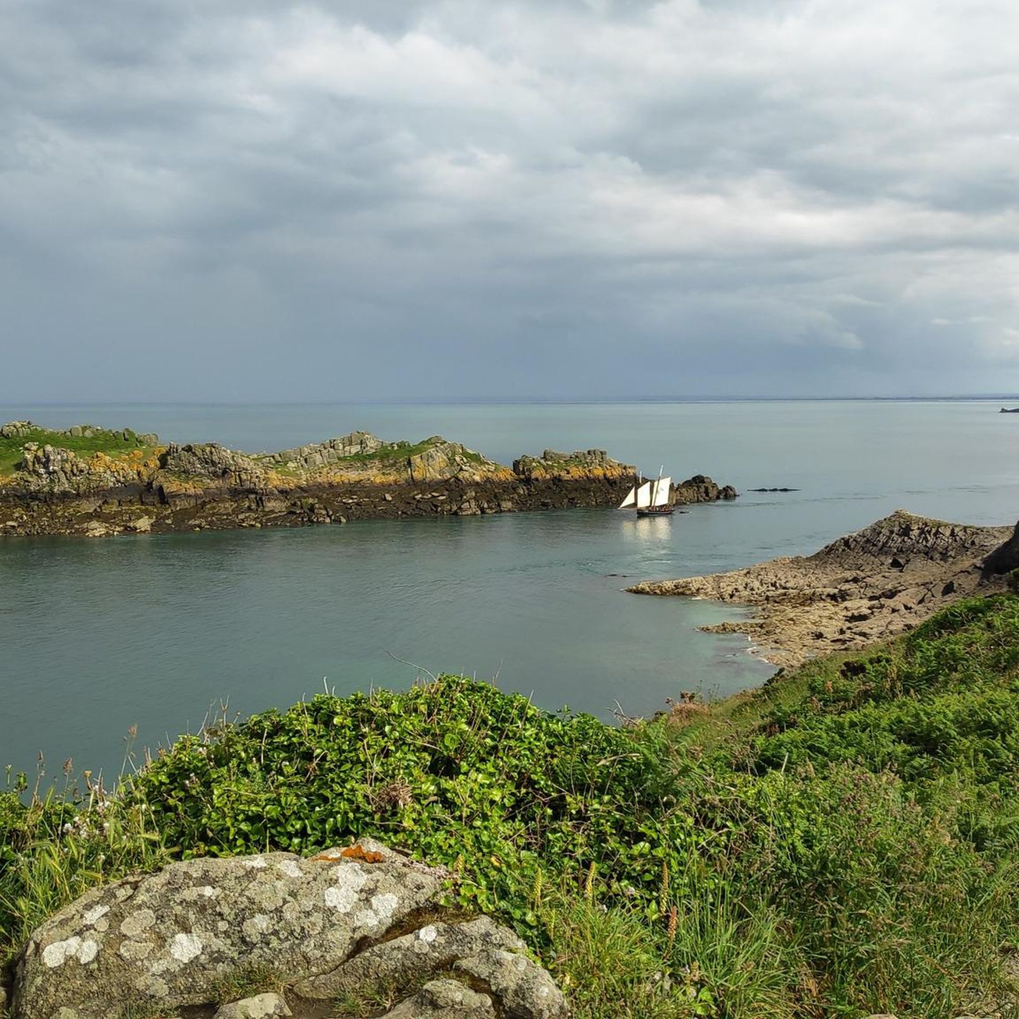
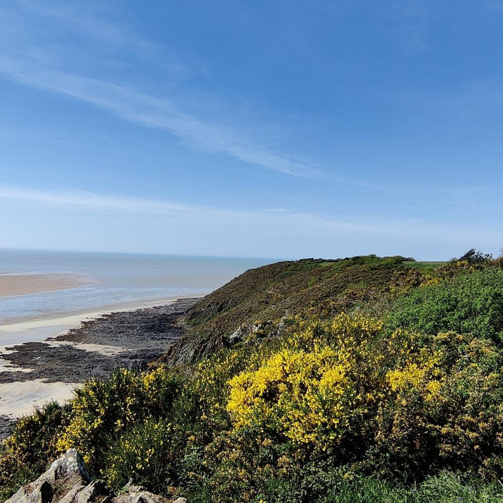
This walk, with sea views from the top of the cliffs, is simply magnificent. The cliff-edge path is quite steep in places. The loop also goes through the woods, along the stream.
0
0

Heavily trodden and driven road embankment leading to Mont-Saint-Michel along the salt marshes. A little caution with heavy traffic and you will arrive at the Mont with good impressions.
3
0
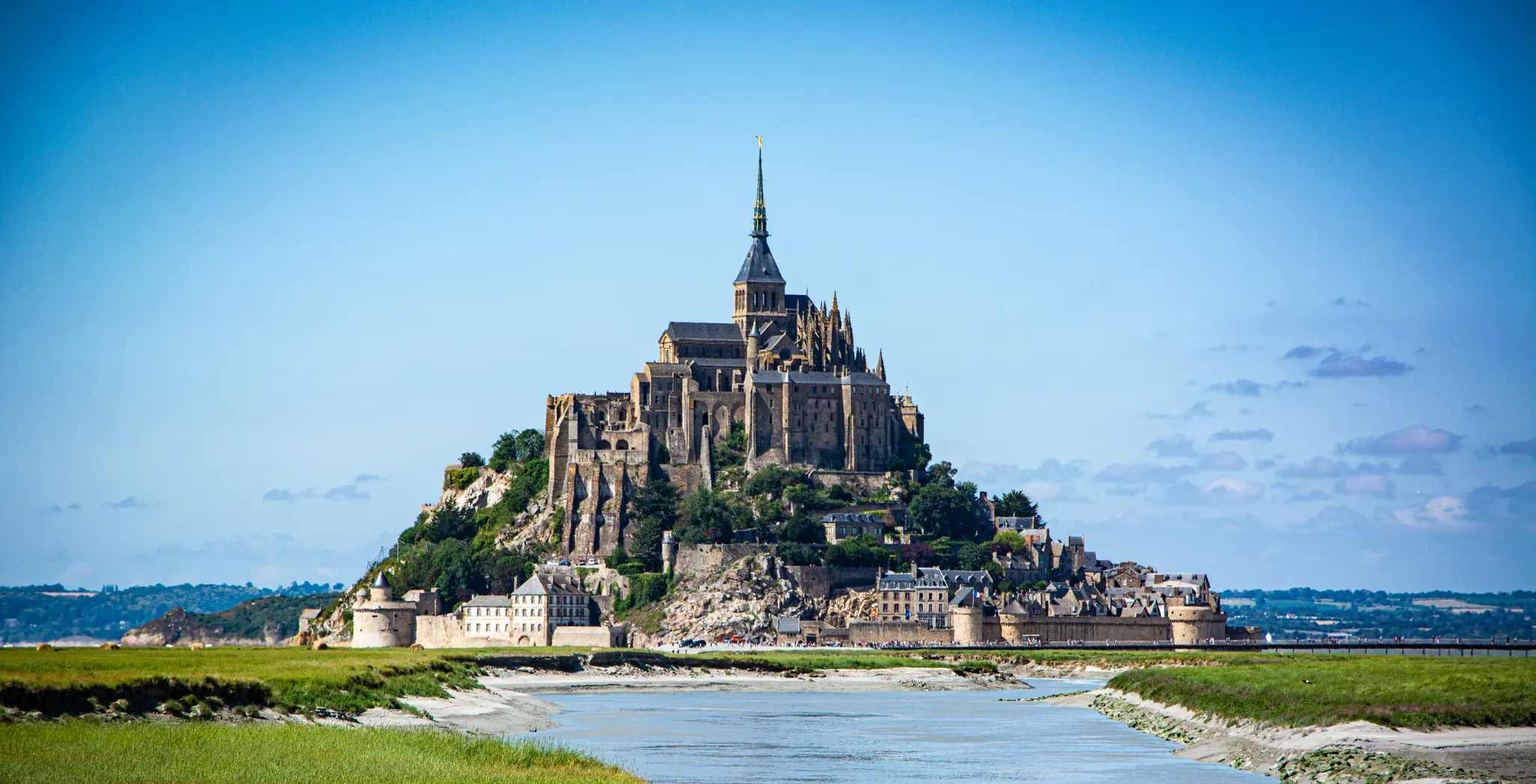
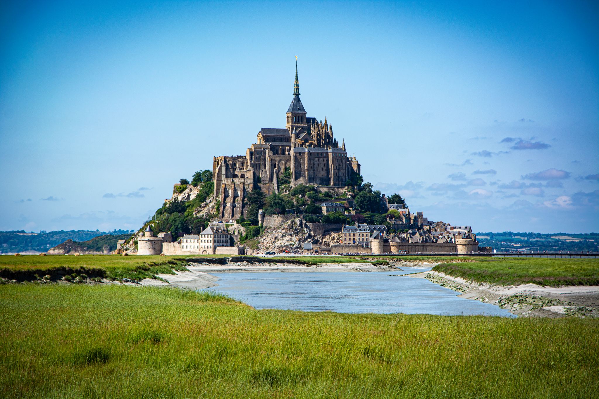
Mont-Saint-Michel is a world-famous rocky island and commune on the border between Normandy and Brittany in France. Crowned by a monumental, medieval Benedictine abbey, this architectural marvel has been a UNESCO World Heritage site since 1979. The bay of the mount is also known for Europe's strongest tides, with a tidal range of up to 14 meters.
1
0

The access bridge to Mont-Saint-Michel was opened in 2014, replacing the former road causeway that had impaired the natural movement of water and sediment in the bay. Built on stilts, the bridge allows for better exchange of tidal currents and helps to preserve the character of Mont-Saint-Michel as a tidal island. On the way to the island, there are wide views over the bay and an impressive sight of the abbey.
8
0
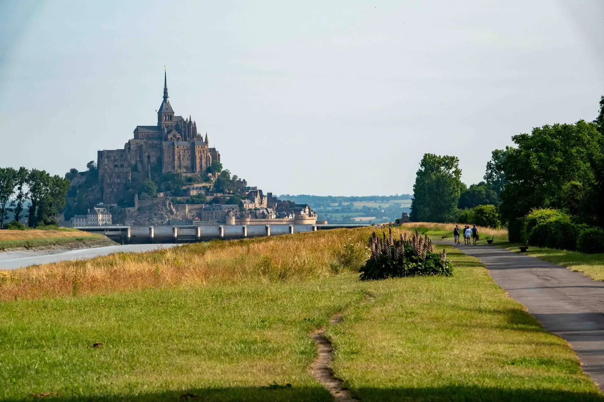
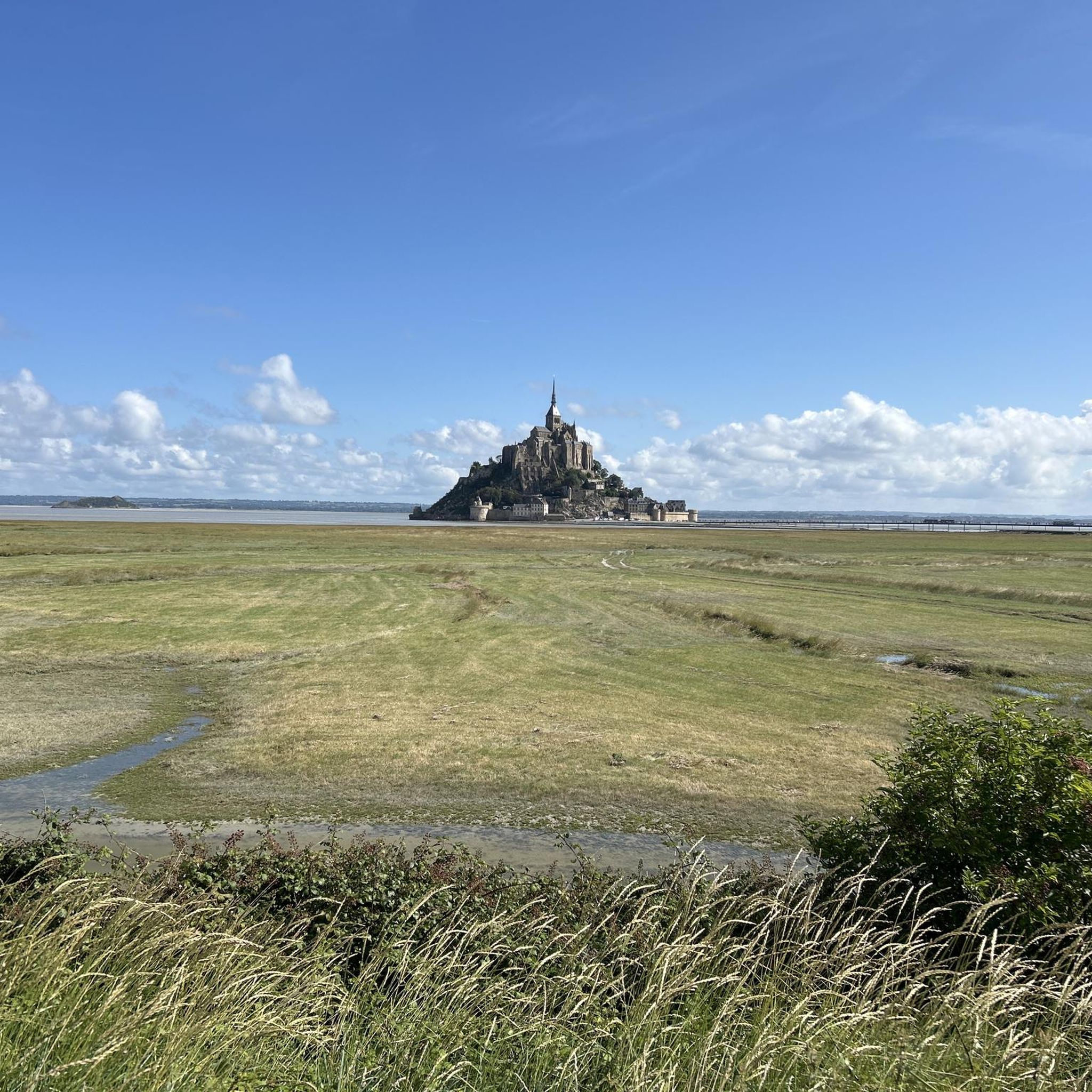
The footpath along the Couesnon to the dam already offers an impressive view of Mont-Saint-Michel. From here, the path with an unobstructed view leads across the salt marshes and the bay, with the landmark of Normandy impressively rising against the wide landscape. Especially in calm weather and with changing light, atmospheric views emerge of Mont-Saint-Michel, the course of the Couesnon river, and the tide-shaped surroundings.
11
0
The Couesnon dam (Barrage du Couesnon) was completed in 2009 and is part of the measures to preserve the bay of Mont-Saint-Michel. The facility regulates the water flow of the Couesnon and supports the natural removal of sediments by the tides. This is intended to counteract the increasing silting up of the bay and preserve the special character of Mont-Saint-Michel as a tidal island. The dam also offers a popular viewpoint with a view of Mont-Saint-Michel and the surrounding salt marshes.
1
0
The Vallée du Lude near Carolles is a protected coastal valley. A small stream winds its way through the green valley, eventually flowing into the English Channel at an idyllic pebble bay. The hiking trail leads through a varied landscape with steep cliffs, dense vegetation, and beautiful views of the coast – a peaceful natural spot that can be ideally combined with the Zöllnerpfad along the cliffs.
27
0
The weir on the river **Couesnon** in front of Mont-Saint-Michel is part of a major project to restore its original island character. It regulates the flow of the Couesnon and helps transport sediment deposited in the bay back out to sea. At the same time, the structure is a popular promenade and viewpoint with an impressive view of Mont-Saint-Michel and the tide-shaped landscape.
35
0
Frequently Asked Questions
What makes hiking in Baie Du Mont Saint Michel unique?
Hiking in Baie Du Mont Saint Michel offers a truly unique experience due to its dynamic tidal bay, a UNESCO World Heritage site. You'll encounter vast sandbanks, mudflats, and salt marshes, all shaped by some of Europe's highest tides. The iconic Mont Saint-Michel Abbey, perched on a rocky islet, serves as a breathtaking centerpiece, providing a blend of natural beauty and profound history.
How many hiking trails are available in Baie Du Mont Saint Michel?
There are over 130 hiking routes available in Baie Du Mont Saint Michel, catering to various preferences and fitness levels. The komoot community has explored these diverse paths over 4000 times, with routes ranging from easy coastal strolls to more moderate excursions across the bay.
Are there easy hiking trails suitable for families or casual walkers?
Yes, Baie Du Mont Saint Michel offers a good selection of easy hikes. Over 80 of the routes are classified as easy. A popular choice is the Lude Valley and Vauban Hut Loop from Carolles, which is about 6.7 km long and takes around 1 hour 50 minutes, offering coastal views and passing a historic customs hut.
What kind of terrain can I expect on the hiking trails?
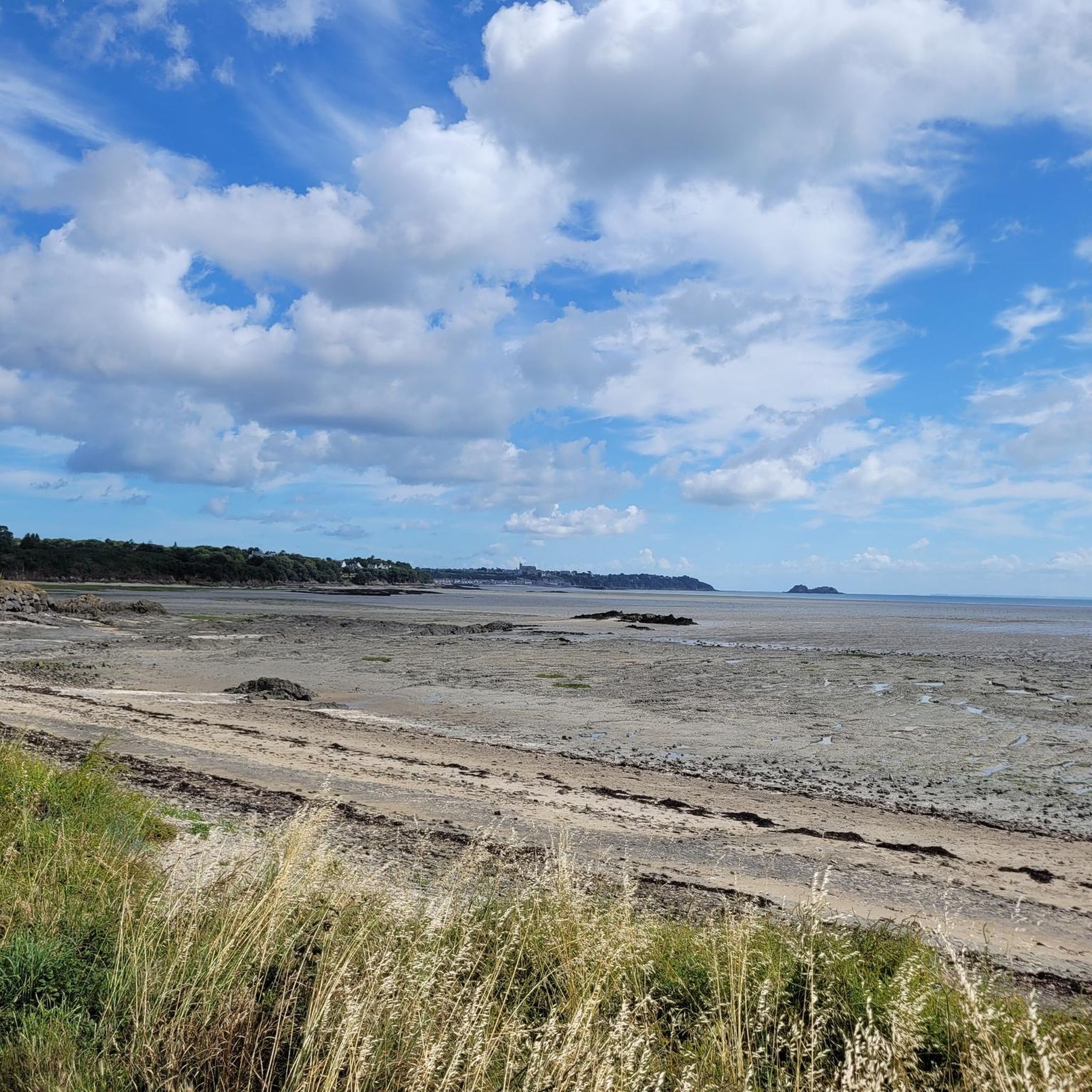
The terrain in Baie Du Mont Saint Michel is quite varied. You'll find expansive sandbanks and mudflats, especially during guided bay crossings, as well as coastal paths, salt marshes, and polders. Some trails, like the Grande Rue – The mountain loop from Le Mont-Saint-Michel, involve cobbled streets and ramps within the historic village itself.
What are the best viewpoints or landmarks to see while hiking?
Many trails offer stunning views of the Mont Saint-Michel. The Grouin du Sud and Priory of Saint-Léonard Loop provides panoramic vistas from the Pointe du Grouin du Sud. Other notable landmarks include the historic Cabane Vauban along the Customs Officer's Path and the picturesque Moidrey Windmill in the surrounding peaceful landscapes.
Are there any circular hiking routes in the area?
Yes, many of the trails in Baie Du Mont Saint Michel are designed as circular routes, allowing you to start and end at the same point. Examples include the Lude Valley and Vauban Hut Loop from Carolles and the Grouin du Sud and Priory of Saint-Léonard Loop, both offering convenient round trips.
What should I know about tides and safety when hiking in the bay?
The Baie Du Mont Saint Michel experiences exceptionally high tides, which can rise very rapidly. For safety, it is highly recommended to undertake bay crossings with a certified guide. They can navigate the treacherous quicksand (or slush) and ensure you avoid dangerous incoming tides. Guided walks also enrich the experience with commentary on the bay's natural and historical heritage.
Is Baie Du Mont Saint Michel suitable for dog-friendly hikes?
While many coastal paths and polder trails are generally accessible for dogs on a leash, specific regulations may apply, especially within sensitive natural areas or near bird reserves like the Islet of Tombelaine. Always check local signage and respect wildlife. Guided bay crossings might have restrictions for dogs due to safety concerns related to quicksand and tides.
What is the best time of year to go hiking in Baie Du Mont Saint Michel?
The bay can be enjoyed year-round, but spring and autumn generally offer pleasant temperatures and fewer crowds. Summer is popular but can be busy. Winter hikes provide a different, often serene, perspective of the landscape. Always check tide schedules, as they significantly impact accessibility and views, especially during spring tides when the tidal range is most dramatic.
Are there any challenging hikes in the area?
While most routes are easy to moderate, the challenge in Baie Du Mont Saint Michel often comes from the length of the walk or the unique conditions of a bay crossing. There are 5 routes classified as difficult. Guided full round trips across the bay, which can be up to 13 km and last 6 hours, offer a significant physical challenge, especially when navigating the soft sands and mudflats.
What do other hikers enjoy most about hiking in Baie Du Mont Saint Michel?
The area is highly rated by the komoot community, with an average score of 4.6 stars from over 400 reviews. Reviewers often praise the breathtaking views of Mont Saint-Michel, the unique experience of walking across the vast tidal flats, and the diverse coastal landscapes. The sense of history and the dramatic natural phenomena, like the tides, are frequently highlighted as memorable aspects.
Where can I find parking for hiking trails around Mont Saint-Michel?
Parking facilities are available at various starting points for hikes around the bay. For routes originating from the mainland, such as those near Carolles or Genêts, you'll find designated parking areas. For visiting Mont Saint-Michel itself, there are large car parks on the mainland, from which shuttle buses or walking paths lead to the Mont. Always check for current parking information and fees before your visit.
Most popular routes in Baie Du Mont Saint Michel
Most popular attractions in Baie Du Mont Saint Michel

Get inspired with the komoot mobile app


Explore more
Browse the best Hikes in other regions.
