The best road cycling routes in Monumento Natural De Ojo Guareña
4.8
(25)
3,061
riders
62
rides
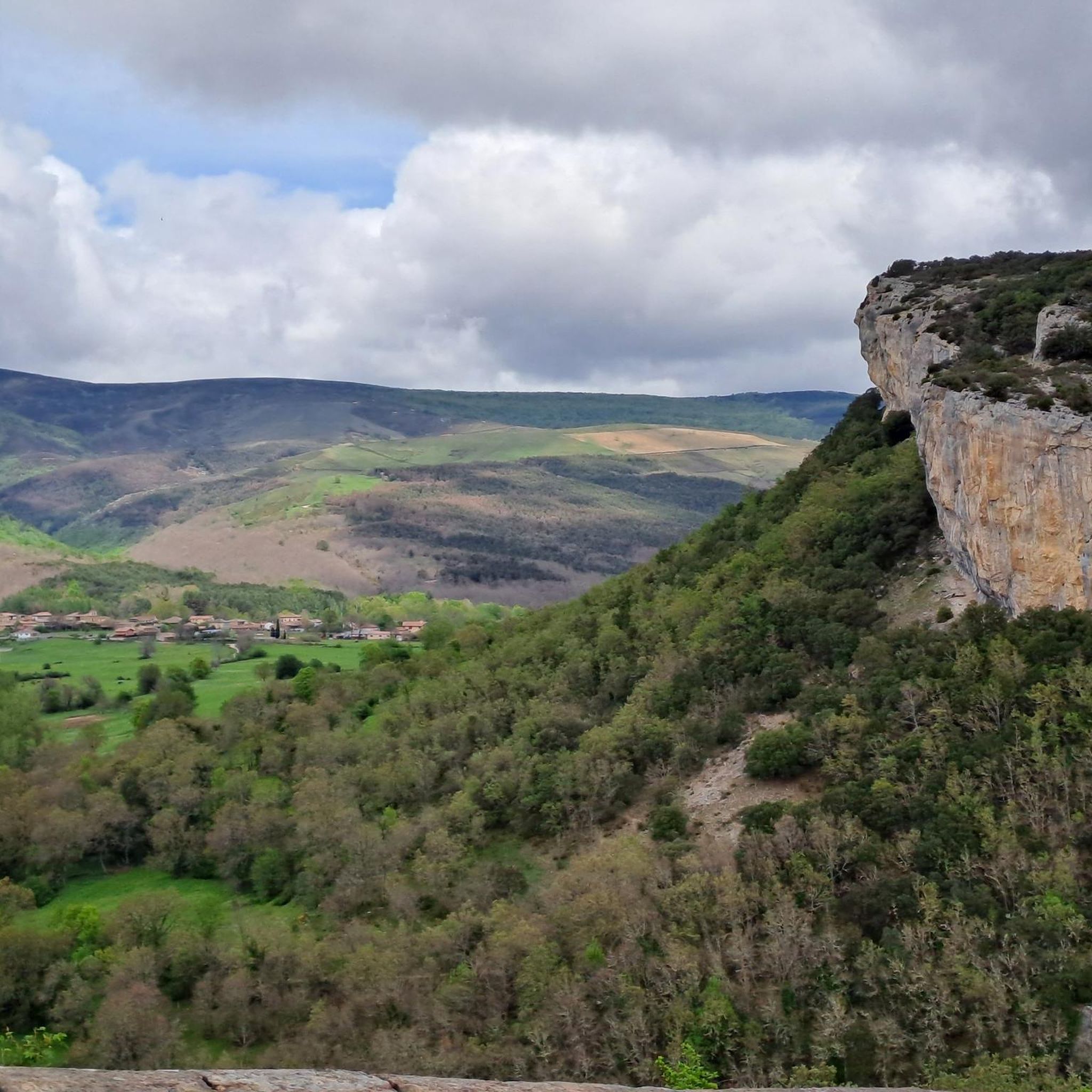
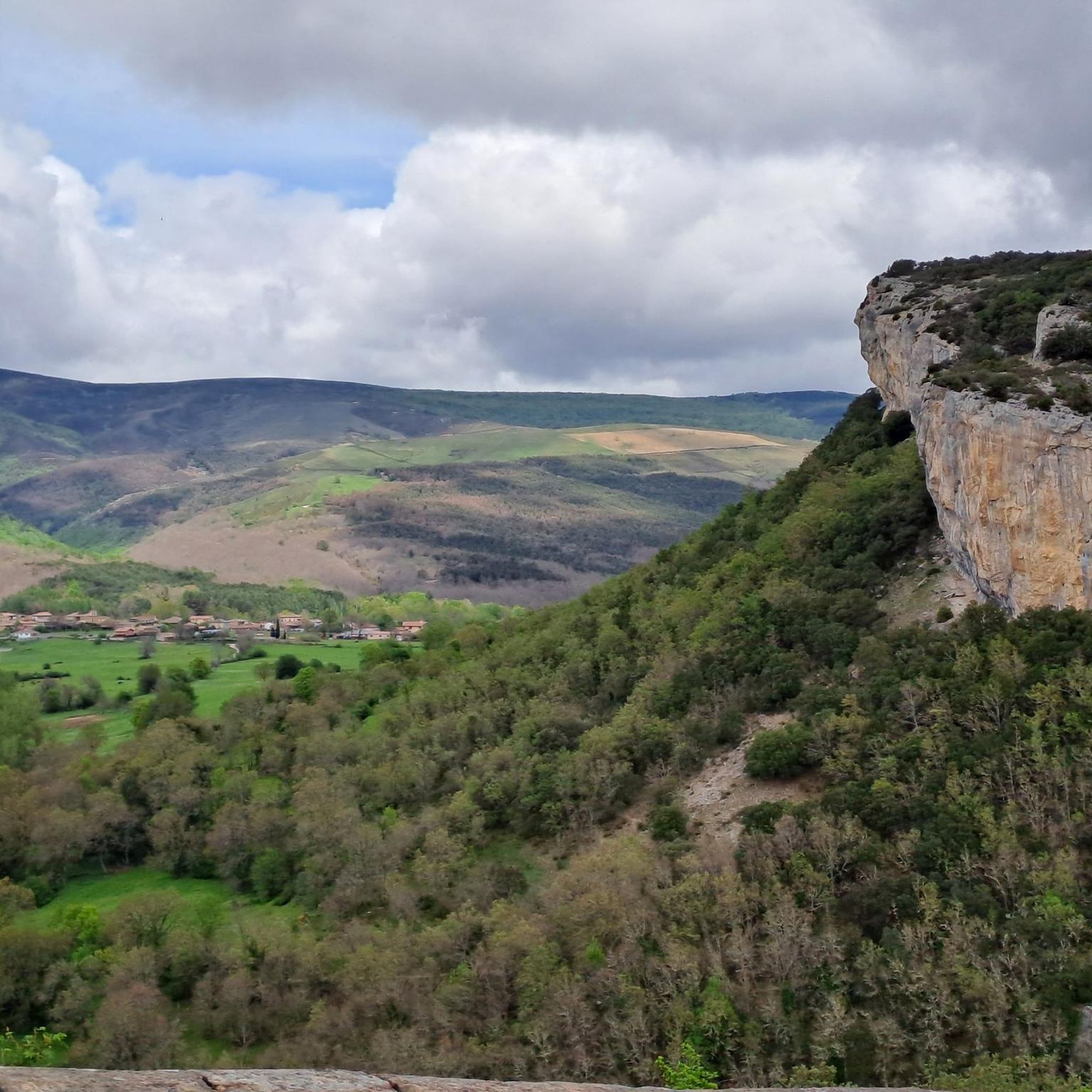
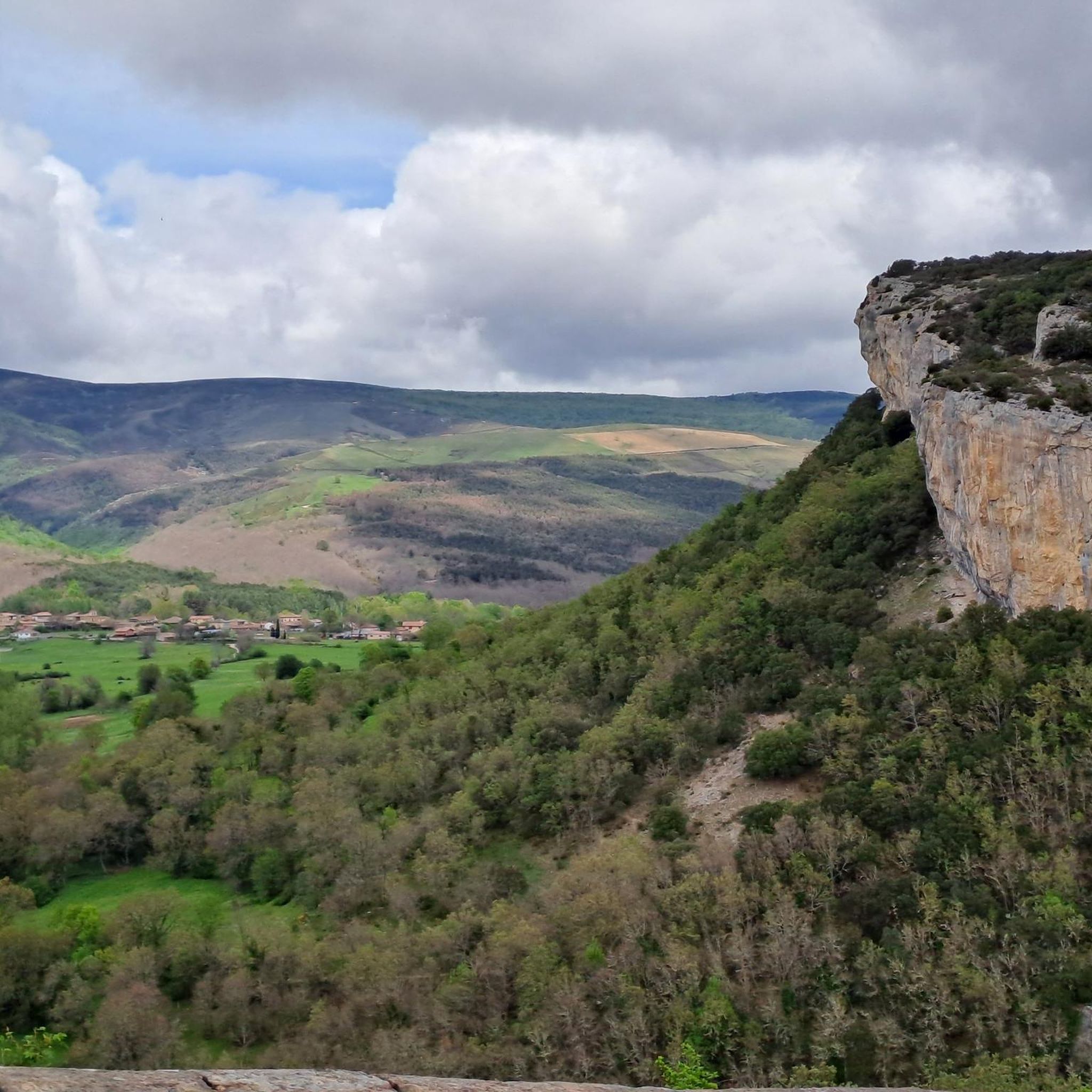
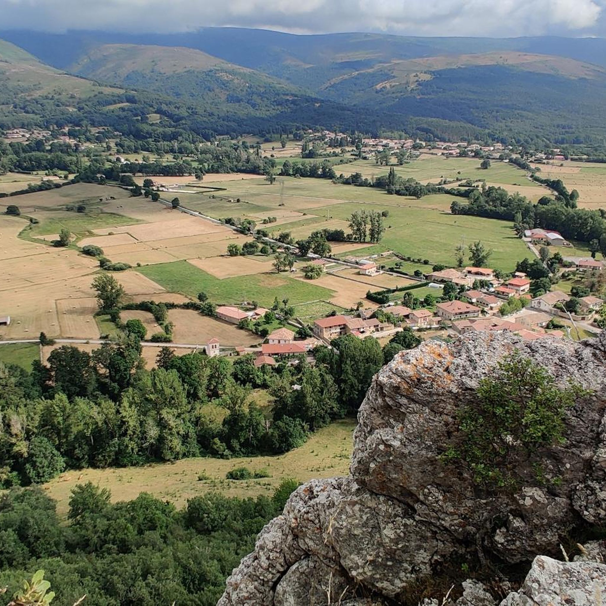
Road cycling in Monumento Natural De Ojo Guareña is characterized by its unique karst landscape, featuring extensive limestone formations, dramatic cuestas, and impressive rocky structures. The region's terrain, shaped by the Guareña and Trema rivers, offers diverse routes through lush forests of oaks, junipers, and beeches. Cyclists can expect varied elevation profiles, from challenging climbs to more gentle sections, providing a dynamic riding experience. This area is a transitional zone between Atlantic and Mediterranean climates, contributing to its rich biodiversity.
…Last updated: October 2, 2026
4.0
(2)
109
riders
Moderate road ride. Good fitness required. Some segments of this route may be unpaved and difficult to ride.
23
riders
104km
05:18
1,730m
1,730m
Hard road ride. Very good fitness required. Mostly well-paved surfaces and easy to ride.

44
riders
73.9km
03:36
1,110m
1,110m
Hard road ride. Very good fitness required. Mostly well-paved surfaces and easy to ride.
5.0
(1)
68
riders
39.8km
02:25
930m
930m
This difficult 24.7-mile road cycling route from Quintanilla del Rebollar ascends to Picón Blanco, offering challenging gradients and reward
60
riders
74.2km
03:17
750m
750m
Moderate road ride. Good fitness required. Mostly well-paved surfaces and easy to ride.
Get access to more routes and recommendations from other explorers.
Already have an account?
Our route recommendations are based on thousands of hikes, rides, and runs completed by other people on komoot.
Start today with a free account
Your next adventure awaits.

Tips from the Community

Ideal for taking a dip on hot days!
1
0
A demanding but VERY beautiful route. The Estacas de Trueba pass is absolutely spectacular!
0
0

This is the best-known image of the famous town of Puentedey.
1
0
In my opinion, it is not the best viewpoint in the town. The best thing is to wander around it and go under the rocky bridge.
2
0


Meters before reaching the Port or Portillo de la Sía, at 1,200 m. altitude, we find the Mirador, from where we have impressive views of the Soba Valley.
0
1
Puentedey is a mandatory stop if we want to get to know one of the most beautiful towns in Las Merindades. It will be included in the list of the Most Beautiful Towns in Spain association in 2022. The enormous natural stone arch over the Nela River is its main emblem.
1
0
Frequently Asked Questions
How many road cycling routes are available in Monumento Natural De Ojo Guareña?
There are over 50 road cycling routes available in Monumento Natural De Ojo Guareña, offering a wide range of experiences for different skill levels. The komoot community has explored more than 53 routes in the area.
What kind of terrain can I expect when road cycling in Monumento Natural De Ojo Guareña?
The region is characterized by a unique karst landscape with extensive limestone formations, dramatic cuestas, and impressive rocky structures. You'll encounter diverse terrain, from challenging climbs with significant elevation gains to more gentle sections, often through lush forests of oaks, junipers, and beeches. While predominantly asphalt, some routes may include unpaved sections or cobblestones, adding to the adventure.
Are there any easy road cycling routes suitable for beginners in Monumento Natural De Ojo Guareña?
Yes, there are routes suitable for beginners. For instance, the Quisicedo – Quisicedo Church loop from Río Guareña is classified as easy, covering about 28.7 km (17.8 miles) with a moderate elevation gain, making it a good option for those new to road cycling in the area.
What are some notable natural features or landmarks I can see along the road cycling routes?
The region is rich in natural and cultural landmarks. You can encounter impressive geological formations like the Ojo de la Dormida Rock Arch. Other notable features include the extensive karst complex itself, with its dramatic cuestas and rocky formations. You might also pass by the Hermitage of San Bernabé of Ojo Guareña, an iconic cave hermitage, or the San Tirso and San Bernabé Caves.
Are there challenging road cycling routes for experienced cyclists?
Absolutely. Monumento Natural De Ojo Guareña offers several difficult routes for experienced cyclists. An example is the Puentedey – Alcázar of the Constables loop from Sotoscueva, a demanding 107.9 km (67.0 miles) path with significant elevation changes. Another challenging option is the Ascent to Picón Blanco — circular from Quintanilla del Rebollar, known for its substantial climb.
What is the best time of year to go road cycling in Monumento Natural De Ojo Guareña?
Monumento Natural De Ojo Guareña is a transitional zone between Atlantic and Mediterranean climates, which means it experiences varied weather. Generally, spring and autumn offer pleasant temperatures for cycling. Summer can be warm, while winter might bring colder conditions, especially at higher elevations. Checking local weather forecasts before your ride is always recommended.
Are there any family-friendly road cycling options in the area?
While many routes involve varied terrain and elevation, some easier sections or shorter loops could be suitable for families with older children or those comfortable with some climbs. The region's 'on foot and by bike' paths suggest a supportive infrastructure for cyclists, but specific dedicated family-friendly road routes might require careful selection based on distance and elevation profiles.
What do other road cyclists say about their experience in Monumento Natural De Ojo Guareña?
The area is highly rated by the komoot community, with an average score of 4.6 stars from over 20 reviews. Cyclists often praise the unique karst landscape, the diverse forests, and the engaging backdrop provided by the rivers and rocky formations, making for a dynamic and scenic riding experience.
Where can I find amenities like cafes or accommodation near the cycling routes?
The Casa del Parque, located in Quintanilla del Rebollar, serves as a visitor center and can provide information on local services. Smaller villages and towns within or near the Monumento Natural, such as Sotoscueva or Pedrosa de Valdeporres, are likely to offer cafes, restaurants, or accommodation options. It's advisable to plan your route and check for amenities in advance, especially in more remote areas.
What are the typical distances and durations for road cycling routes in this region?
Route distances and durations vary significantly. You can find shorter routes like the easy Quisicedo – Quisicedo Church loop from Río Guareña at 28.7 km (17.8 miles), taking around 1 hour 16 minutes. Longer, more challenging routes, such as the Villarcayo Riverside Beach – Quisicedo loop from Sotoscueva, can extend to 187.1 km (116.2 miles) and take over 9 hours to complete.
Are there any viewpoints or scenic spots along the road cycling routes?
Yes, the dramatic karst landscape, shaped by rivers and rocky formations, offers continuously engaging backdrops and numerous scenic spots. The Pico del Cuerno is a designated viewpoint. Cyclists can also enjoy views of the Ojo de la Dormida Rock Arch and the diverse flora, including lush forests, which provide picturesque scenery throughout the region.
Most popular routes in Monumento Natural De Ojo Guareña
Most popular attractions in Monumento Natural De Ojo Guareña

Get inspired with the komoot mobile app


Explore more
Browse the best Road cycling routes in other regions.
