The best cycling routes in Paisaxe Protexida Val Do Río Navea
51
riders
5
rides
Paisaxe Protexida Val Do Río Navea cycling routes traverse a protected landscape in Galicia, Spain, characterized by the deep valley of the Navea River and its lush arboreal vegetation. The region features significant elevation changes, with routes often ascending from river level to offer panoramic views over the surrounding terrain. This area is known for its ancient chestnut groves and the confluence of river systems, providing a diverse backdrop for touring cyclists.
Best touring cycling routes in Paisaxe Protexida Val…
Last updated: June 28, 2026
4
riders
70.0km
05:05
1,490m
1,490m
Hard bike ride. Very good fitness required. You may need to push your bike for some segments of this route.
2
riders
23.6km
01:48
470m
470m
Hard bike ride. Very good fitness required. Mostly paved surfaces. Suitable for all skill levels.

Sign up for free
2
riders
Moderate bike ride. Good fitness required. Mostly paved surfaces. Suitable for all skill levels.
13
riders
33.6km
02:28
770m
770m
Hard bike ride. Very good fitness required. Mostly paved surfaces. Suitable for all skill levels.
9
riders
49.5km
03:43
1,200m
1,200m
Hard bike ride. Very good fitness required. Mostly paved surfaces. Suitable for all skill levels.
Our route recommendations are based on thousands of hikes, rides, and runs completed by other people on komoot.
Start today with a free account
Your next adventure awaits.
Login or Signup
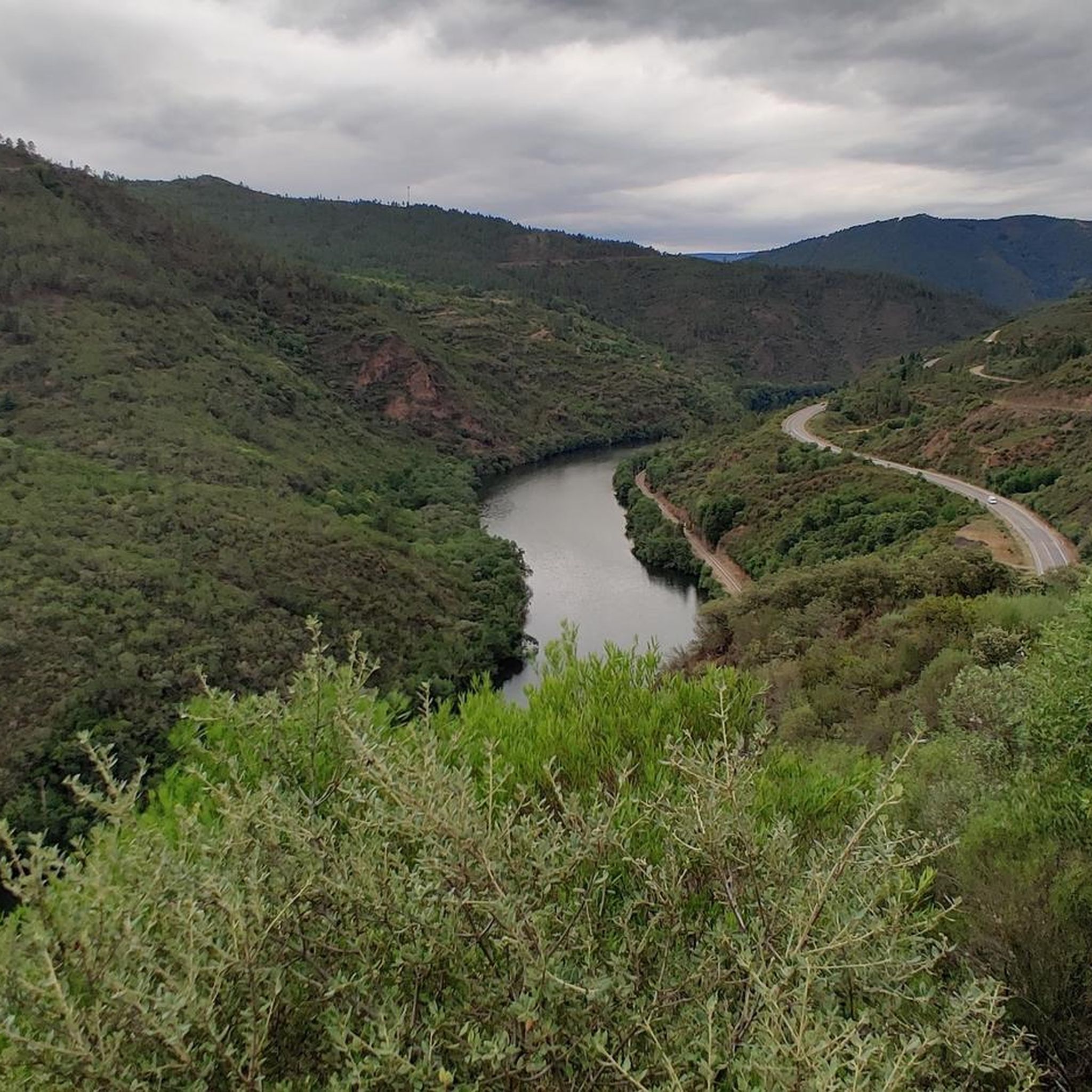
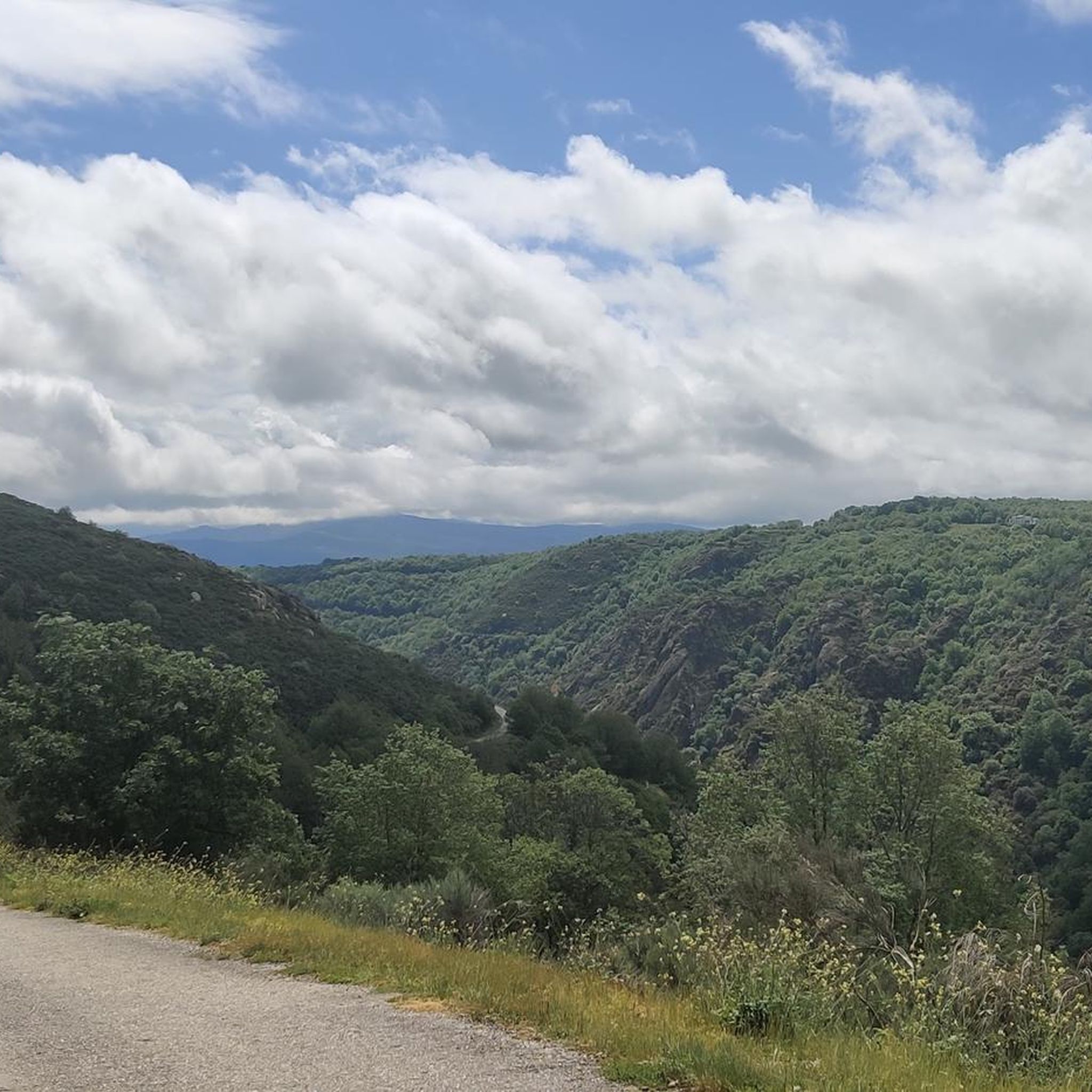
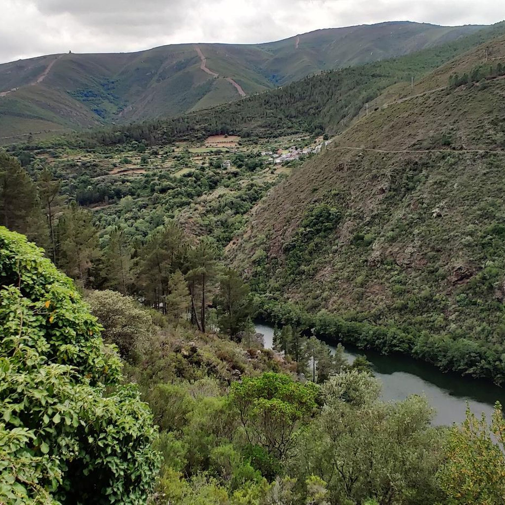

Tips from the Community

Visitable castle restored in different areas and worth seeing, along with the streets that surround it, medieval area of the town of Castro Caldelas
0
0

In the Middle Ages, the fortress of Castro Caldelas belonged to the house of Trastámara, its growth being very rapid due to trade and craft activities in which linen weavers made this place an important location for their businesses, in addition to Jews with liberal occupations.
3
0

Trail in the Val de Río Navea National Park, which begins when you turn towards the old Roman bridge over the Navea River and ascend for spectacular views over the surrounding valley landscape. Well worth the detour from the main road.
2
0
On the most prominent site in the city, the castle stands on the old Roman road and dominates the surrounding landscape. The structure and wall of the castle was built in the 14th century. The Castle offers spectacular views of the Sil canyon.
2
0
Large reservoir that catches the waters of the Queixa river. Located between the Sierra de San Mamede. The construction of the reservoir took 9 years and was completed in 1953.
2
0
A Pobra de Trives is a small regional town located at the foot of the mountain and access to the Manzaneda sky station. It is a great place to stop for lunch whether you go down to the Bibei river or go up to Manzaneda.
2
0
Spectacular panoramic view of the mountains and the Sil valley below. Be sure to stop to admire the views.
1
0

Magnificent medieval castle located in the town of Castro Caldelas (Ourense). During the Middle Ages it was the most important fortress in the Ribeira Sacra and played a prominent role. The castle was also home to military legions, armies, senior officers and orders of warrior monks.
3
0
Frequently Asked Questions
What types of touring cycling routes can I find in Paisaxe Protexida Val Do Río Navea?
Paisaxe Protexida Val Do Río Navea offers a range of touring cycling routes, predominantly challenging due to significant elevation changes. You'll find routes that ascend from river level to provide panoramic views, often traversing varied terrain including historical chestnut groves and lush arboreal vegetation. Most of the 8 available routes are classified as difficult, with one moderate option.
Are there any circular touring cycling routes in the region?
Yes, several routes in Paisaxe Protexida Val Do Río Navea are designed as loops. For example, the challenging A Pobra de Trives Town Center – Chaira das Lamas Viewpoint loop from O Barrio dos Xitanos takes you through significant climbs to viewpoints overlooking the valley. Another option is the extensive Pensión Pacita – Alto de Aldriz loop from Sequeiros, exploring higher elevations and diverse natural features.
What is the best time of year to go touring cycling in Paisaxe Protexida Val Do Río Navea?
Spring and autumn are highly recommended for touring cycling in the Navea River Valley. During these seasons, the weather conditions are most pleasant for outdoor activities, allowing you to fully enjoy the region's natural beauty and diverse landscapes.
What are some notable landmarks or natural features to see along the cycling routes?
The region is rich in natural and historical sights. You can encounter the ancient Roman bridge over the Navea River, which is a medieval construction built upon older Roman remnants. The area is also known for its historical chestnut trees and traditional 'sequeiros' (structures for drying chestnuts). Ascending from the Roman bridge often rewards cyclists with spectacular views over the valley landscape. The Navea River itself, part of a larger interconnected water system, is a central feature.
Are there any family-friendly cycling routes in Paisaxe Protexida Val Do Río Navea?
The touring cycling routes in Paisaxe Protexida Val Do Río Navea are generally characterized by significant elevation changes and longer distances, with most routes classified as difficult. There are no routes specifically listed as easy, and only one moderate option. Families with younger children or those seeking very gentle rides might find these routes challenging.
Where can I park my car when visiting the cycling trails?
While specific parking locations for cyclists are not detailed in the provided information, many routes commence near towns or established points like the ancient Roman bridge over the Navea River. It's advisable to check local signage or community information for parking availability near your chosen starting point.
Is public transport available to access the cycling routes?
The region's focus is on its natural, protected landscape. Specific public transport access points directly to the cycling trails are not highlighted. Visitors typically rely on personal vehicles to reach starting points, especially given the rural nature of the protected area.
Are there any permits required for cycling in Paisaxe Protexida Val Do Río Navea?
Paisaxe Protexida Val Do Río Navea is a protected natural landscape and falls within a Special Conservation Zone (ZEC). However, there is no mention of specific permits required for touring cycling within the area. It's always good practice to respect local regulations and stay on marked trails to preserve the environment.
What is the longest touring cycling route available?
The longest touring cycling route in the area is the challenging Monforte de Lemos Castle – Passage Over the Escoleira Dam loop from Sequeiros. This extensive trail covers approximately 116.4 km (72.3 miles) and involves significant elevation gain, typically taking over 9 hours to complete.
What is the shortest touring cycling route in the region?
For a shorter, yet still challenging, experience, consider the Passage Over the Escoleira Dam loop from Sequeiros. This route is about 42.5 km (26.4 miles) long and features nearly 1000 meters of elevation gain, taking around 3 hours and 10 minutes to complete.
What kind of experience do other touring cyclists have in Paisaxe Protexida Val Do Río Navea?
More than 70 touring cyclists have used komoot to explore Paisaxe Protexida Val Do Río Navea's varied terrain. They often highlight the challenging climbs, extensive distances, and the rewarding panoramic views over the valley and river systems. The region offers a genuine escape into nature, characterized by the soothing sounds of the river and lush vegetation.
Are there places to eat or stay near the cycling routes?
The region is situated within the broader Ribeira Sacra, which is known for its cultural heritage and wine production. While specific cafes, pubs, or accommodations directly on the trails are not detailed, you can expect to find options in nearby towns and villages within the Ribeira Sacra area, such as A Pobra de Trives or Castro Caldelas, which are often starting points for routes.
Most popular routes in Paisaxe Protexida Val Do Río Navea

Get inspired with the komoot mobile app


Explore more
Browse the best Cycling routes in other regions.
