Paraje Natural Municipal La Torrecilla-Puntal De Navarrete
Paraje Natural Municipal La Torrecilla-Puntal De Navarrete
The best cycling routes in Paraje Natural Municipal La Torrecilla-Puntal De Navarrete
4.0
(5)
122
riders
7
rides
Touring cycling routes in Paraje Natural Municipal La Torrecilla-Puntal De Navarrete explore a region characterized by diverse ecosystems, including mixed forests of black pine, savin juniper, and holm oak. The area features distinctive karstic landscapes and mountainous terrain, offering varied routes for cyclists. Ravines within the park support small riparian forests, adding to the natural diversity. The region also holds historical significance with an Iberian archaeological site on Cerro de la Torrecilla.
Best touring cycling routes in Paraje Natural Municipal…
Last updated: July 10, 2026
3
riders
31.4km
02:36
650m
650m
Hard bike ride. Very good fitness required. Mostly paved surfaces. Suitable for all skill levels.
6
riders
30.0km
02:24
490m
490m
Hard bike ride. Very good fitness required. Mostly paved surfaces. Suitable for all skill levels.

Sign up for free
7
riders
34.4km
02:35
570m
570m
Hard bike ride. Very good fitness required. Mostly paved surfaces. Suitable for all skill levels.
5
riders
38.9km
02:39
530m
530m
Hard bike ride. Very good fitness required. You may need to push your bike for some segments of this route.
2
riders
25.1km
01:47
400m
400m
Moderate bike ride. Good fitness required. Mostly paved surfaces. Suitable for all skill levels.
Get access to more routes and recommendations from other explorers.
Sign up for free
Already have an account?
Our route recommendations are based on thousands of hikes, rides, and runs completed by other people on komoot.
Start today with a free account
Your next adventure awaits.
Login or Signup
Popular around Paraje Natural Municipal La Torrecilla-Puntal De Navarrete
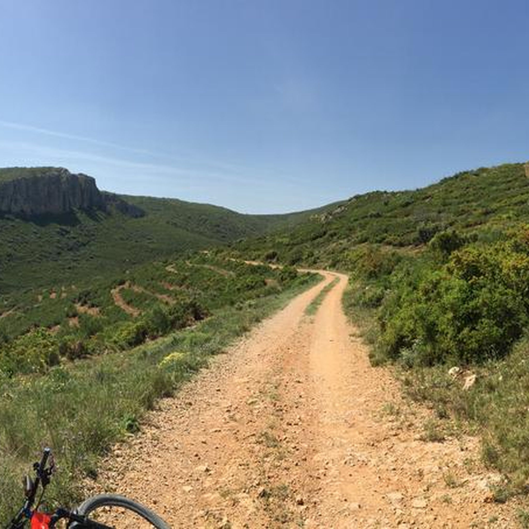
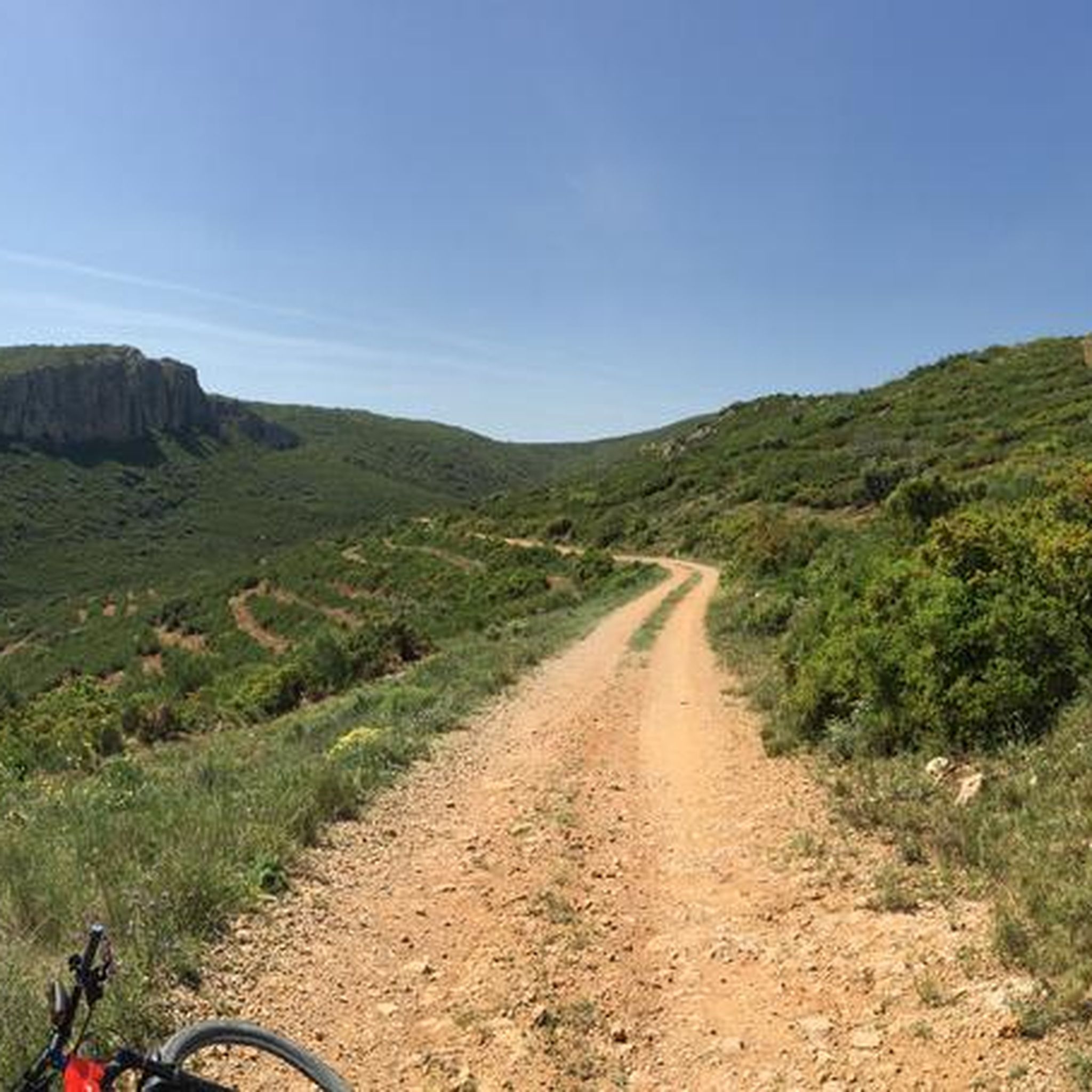
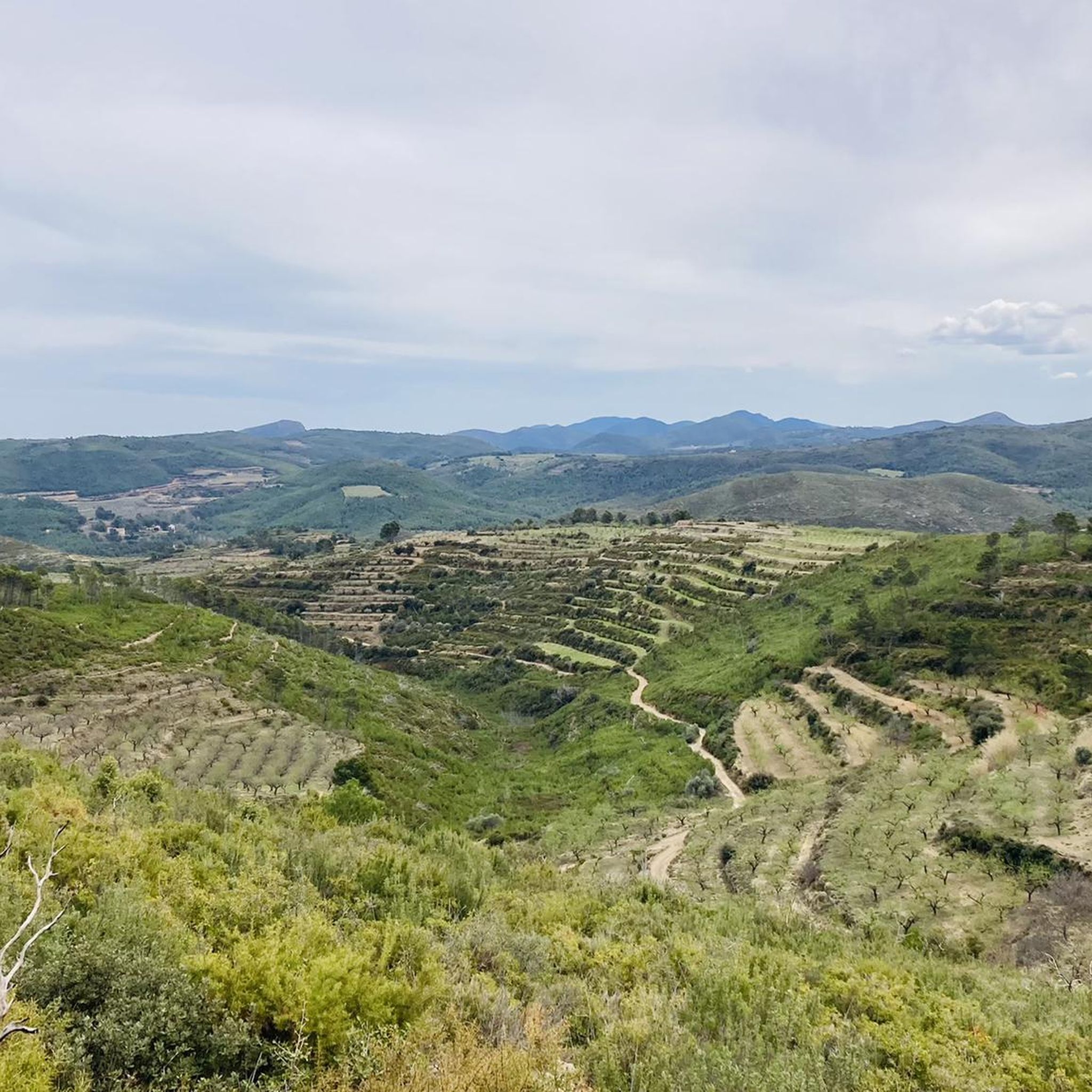
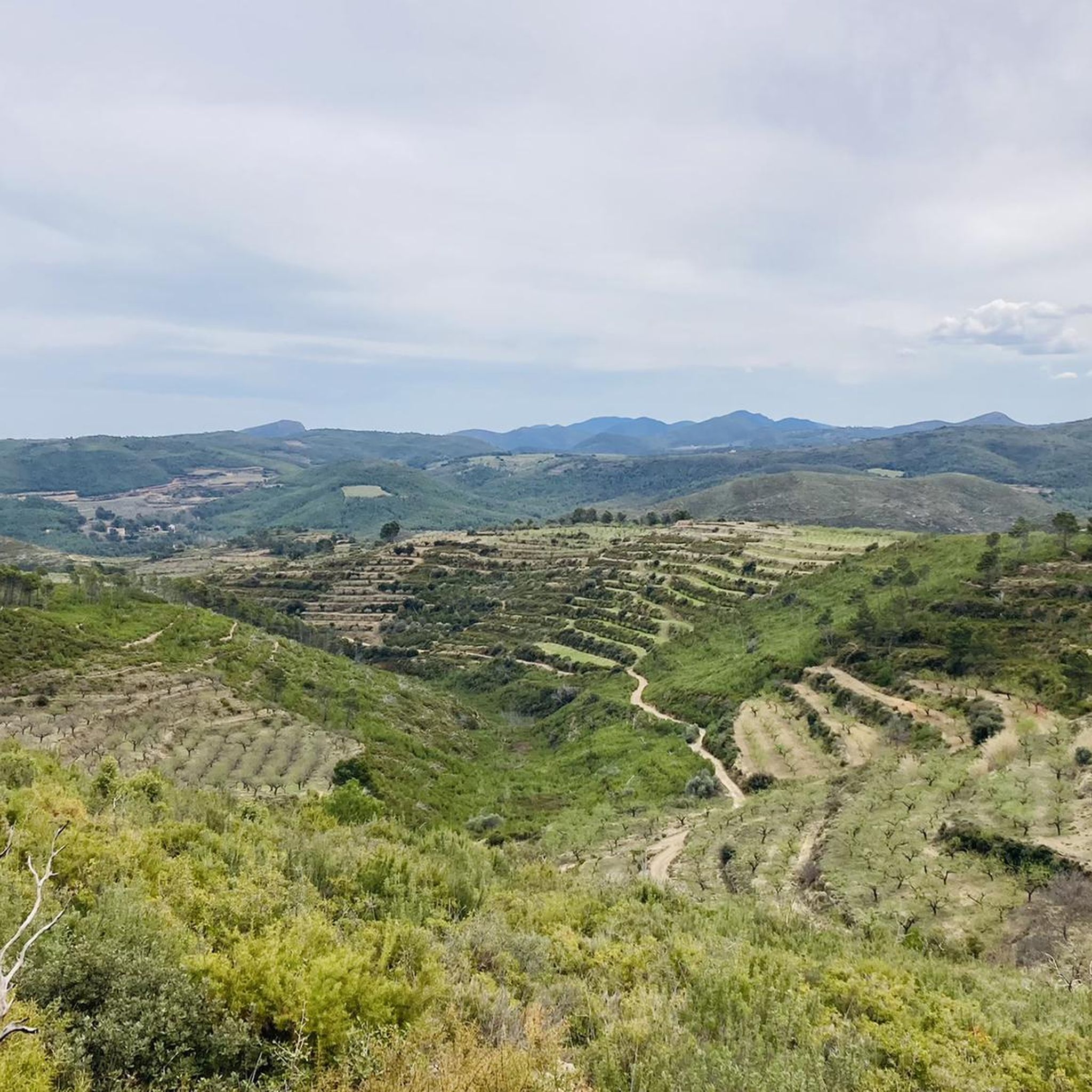
Tips from the Community

Very worn and difficult path, further on it is very muddy.
12
0
This charming village with over 1,600 inhabitants has a very charming center, beautiful historic buildings, and charming steep alleys. Jerica is located in the Valencian Community in the province of Castellón at an altitude of 523 meters.
10
0

Just a few meters away, there's a wind farm. You can walk up close and stand under one of the windmills. On windy days, it's quite an experience.
1
0

Tastefully renovated convent. Permanent exhibition on the Civil War, exhibition hall, library, coworking space, etc.
0
0

A shelter with a fountain right at the door and with benches and a table, surrounded by olive trees a few meters from a small road that goes from Toras to Bejís, I imagine it will be little traveled.
0
0

Alcublas (Valencian: Les Alcubles) is a municipality (municipio) with 607 inhabitants (as of January 1, 2022) in the Spanish province of Valencia. It is located in the comarca of Los Serranos. https://de.wikipedia.org/wiki/Alcublas
4
0
Frequently Asked Questions
How many touring cycling routes are available in Paraje Natural Municipal La Torrecilla-Puntal De Navarrete?
There are several touring cycling routes in the region, with komoot offering 7 distinct tours. These routes cater to various skill levels, ranging from moderate to difficult.
What kind of terrain can I expect on touring cycling routes in this natural park?
The terrain in Paraje Natural Municipal La Torrecilla-Puntal De Navarrete is quite varied. You can expect mountainous environments with significant elevation changes, distinctive karstic landscapes, and paths winding through mixed forests of black pine, savin juniper, and holm oak. Some routes also feature riparian forests along ravines.
Are there any challenging routes for experienced touring cyclists?
Yes, the region offers several challenging routes. For instance, the Alcublas – Alcublas Village loop from Alcublas is a difficult 19.5-mile (31.4 km) route with substantial elevation gain. Another demanding option is the Historic center of Jérica – Jérica Town Center loop from Teresa, covering 18.6 miles (30.0 km) with historical views.
What natural features can I see while cycling in Paraje Natural Municipal La Torrecilla-Puntal De Navarrete?
Cyclists can explore diverse ecosystems, including mixed forests of black pine, savin juniper, and holm oak. The area is also known for its distinctive karstic landscapes and small riparian forests along streams. Keep an eye out for the unique geological formations and varied flora.
Are there any historical sites or landmarks to visit along the cycling routes?
Yes, the region has historical significance. The summit of Cerro de la Torrecilla hosts an important Iberian archaeological site, offering cultural context and panoramic views. Some routes, like the Historic center of Jérica – Jérica Town Center loop from Teresa, specifically highlight historical sites.
What is the best time of year to go touring cycling in Paraje Natural Municipal La Torrecilla-Puntal De Navarrete?
While specific seasonal recommendations depend on personal preference, the diverse landscapes and mountainous terrain suggest that spring and autumn would offer pleasant temperatures for cycling. Summers might be warm, and winters could be cooler, especially at higher elevations.
Are there any circular touring cycling routes available?
Yes, many of the routes in the area are designed as loops. Examples include the Alcublas – Alcublas Village loop from Alcublas, the El Molinar – Fuente de los Cloticos loop from Teresa (difficult version), and the Ojios Negro railway line – Historic National Road 234 loop from Teresa.
What do other touring cyclists enjoy the most about cycling in Paraje Natural Municipal La Torrecilla-Puntal De Navarrete?
The area is highly rated by the komoot community, with an average score of 4.0 stars. Cyclists often praise the varied terrain, the blend of natural beauty with historical sites, and the options available for different ability levels.
Are there any recreational areas or resting points along the routes?
Yes, within the natural park, areas like the Área Recreativa Las Torrecillas provide amenities such as benches and tables. These spots offer convenient resting points for cyclists to pause, refuel, and enjoy the surroundings.
Are there any moderate touring cycling routes for those seeking a less strenuous ride?
Yes, there are routes suitable for moderate skill levels. An example is the El Molinar – Fuente de los Cloticos loop from Teresa, which is 23.1 miles (23.1 km) long and classified as moderate, offering a good balance of challenge and accessibility.
What is the longest touring cycling route in the area?
The longest route listed is the Ojios Negro railway line – Historic National Road 234 loop from Teresa, which spans 24.2 miles (38.9 km) and features significant elevation gain, making it a challenging option for experienced riders.
Most popular routes in Paraje Natural Municipal La Torrecilla-Puntal De Navarrete

Get inspired with the komoot mobile app


Explore more
Browse the best Cycling routes in other regions.
