The best walks and hikes in Paraje Natural Municipal La Torrecilla-Puntal De Navarrete
4.4
(21)
105
hikers
17
hikes
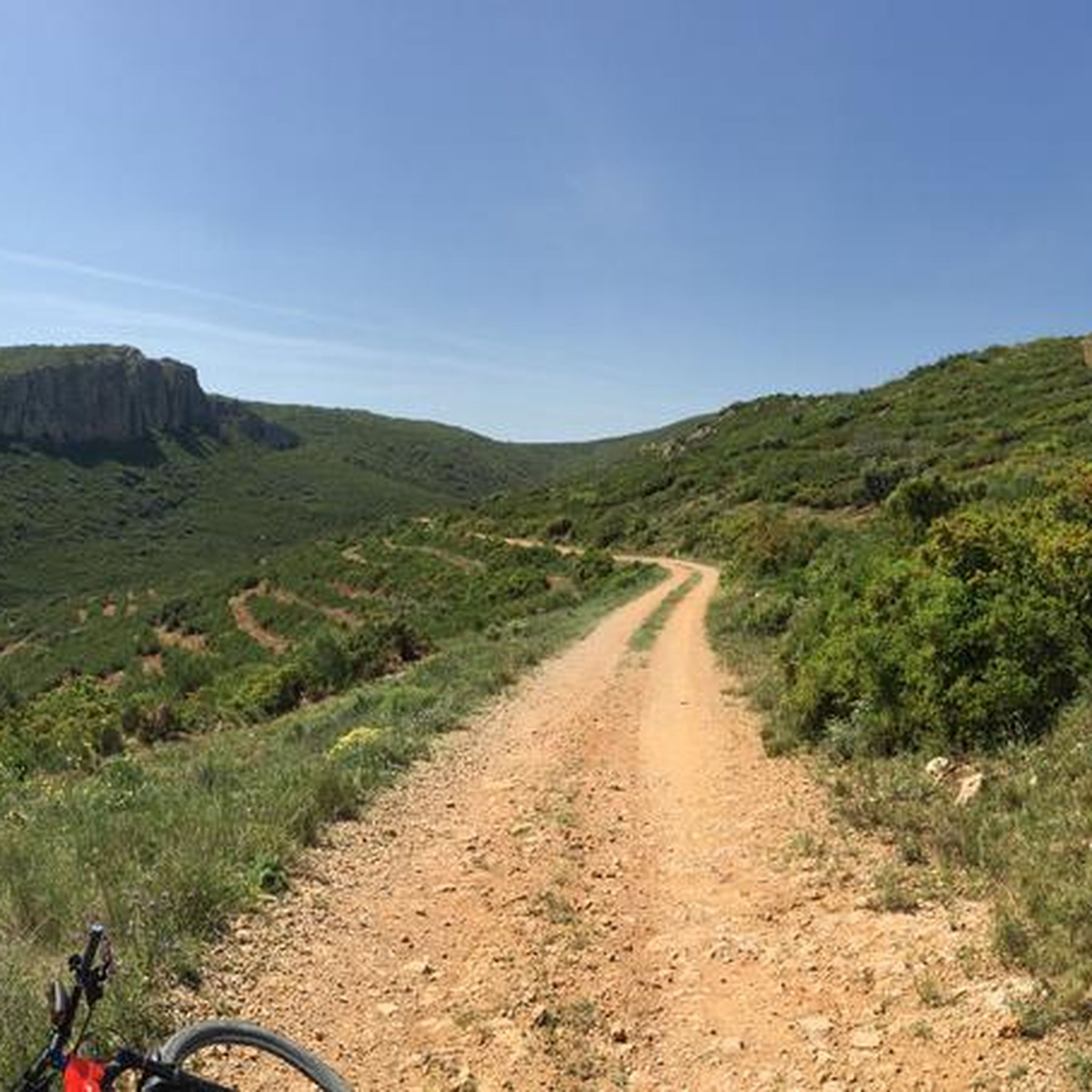
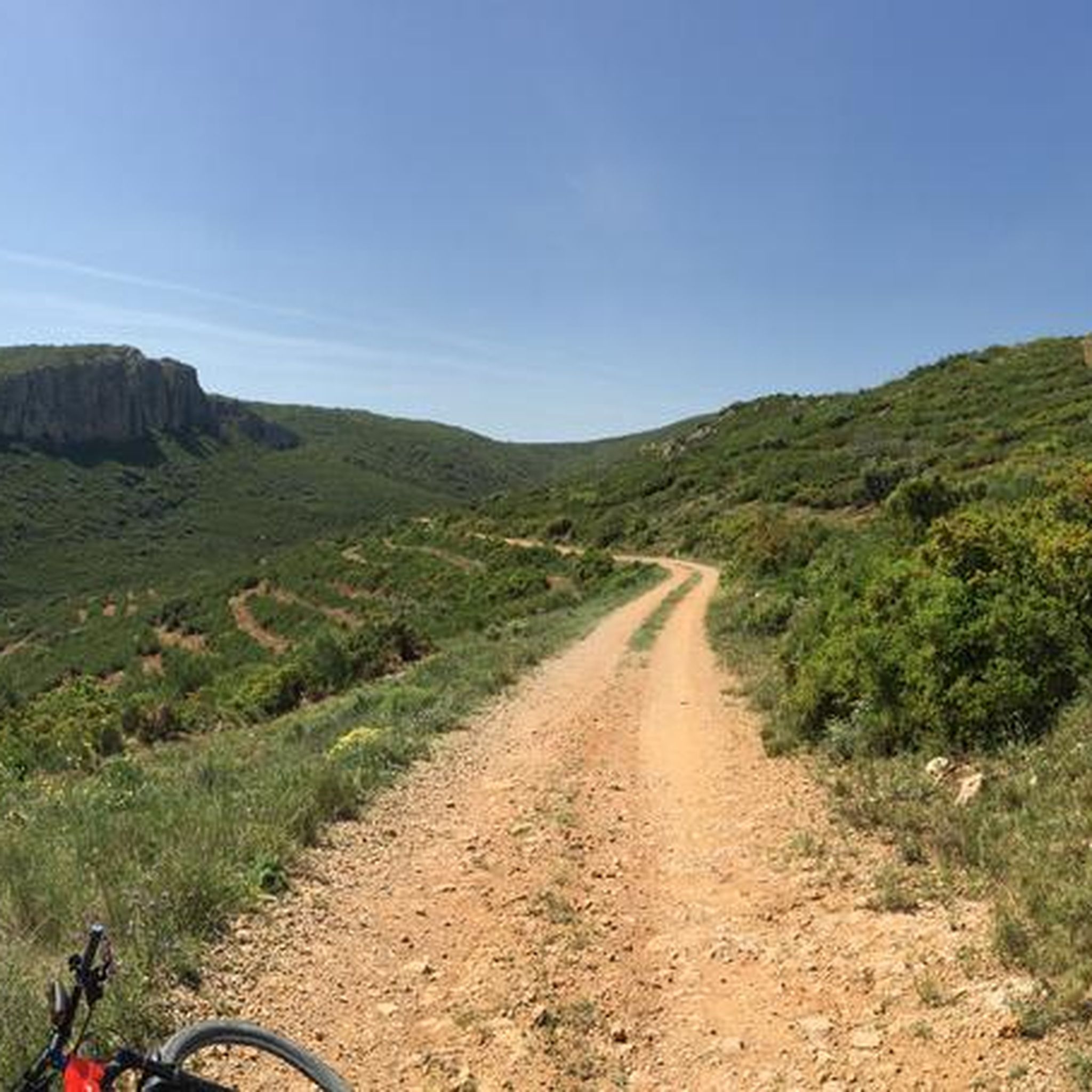
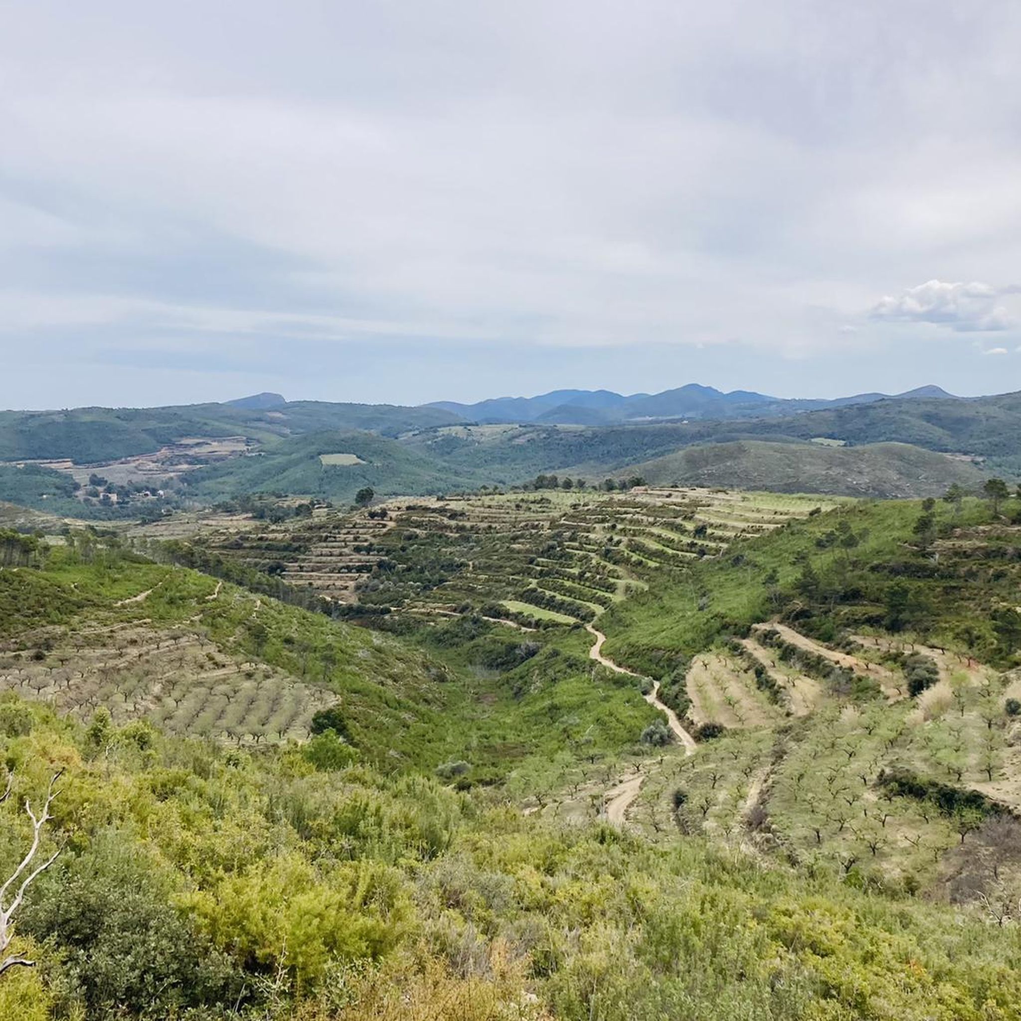
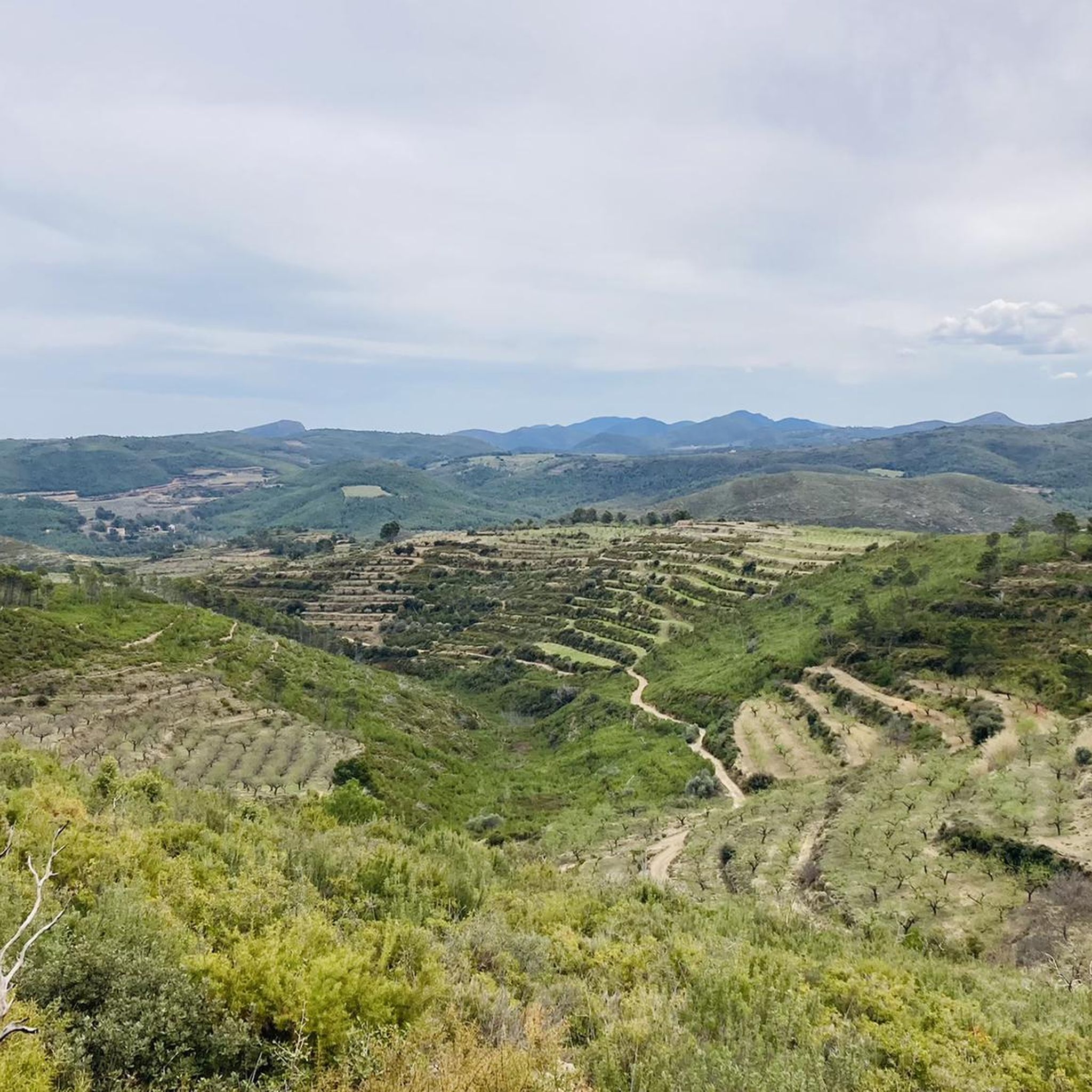
Hiking in Paraje Natural Municipal La Torrecilla-Puntal De Navarrete offers a variety of trails within a protected natural area. The region features a landscape characterized by hills, barrancos, and natural caves, providing diverse terrain for exploration. Trails often lead through varied vegetation, offering views of the surrounding Palancia area. This natural park provides opportunities for both leisurely walks and more challenging hikes across its distinct geological formations.
Best hiking trails in Paraje Natural Municipal La Torrecilla-Puntal De Navarrete
- The most…
Last updated: July 8, 2026
2
hikers
11.5km
03:29
320m
330m
Hike the moderate 7.2-mile Monte Mayor circular trail from Cueva de Santa Ana, featuring karstic landscapes and panoramic summit views.
4.0
(2)
9
hikers
7.30km
02:10
220m
220m
Moderate hike. Good fitness required. Easily-accessible paths. Suitable for all skill levels.

Sign up for free
5.0
(2)
5
hikers
12.0km
03:33
300m
300m
Moderate hike. Good fitness required. Mostly accessible paths. Sure-footedness required.
4.0
(2)
7
hikers
5.68km
01:40
140m
140m
An easy 3.5-mile circular hike from Alcublas, featuring restored 17th-century windmills and panoramic views.
4.3
(3)
4
hikers
14.6km
04:15
380m
380m
Hike the moderate 9.1-mile La Solana y Barranco Lucía circular route from Alcublas, exploring pine forests and enjoying views of the Alcubla
Get access to more routes and recommendations from other explorers.
Sign up for free
Already have an account?
Our route recommendations are based on thousands of hikes, rides, and runs completed by other people on komoot.
Start today with a free account
Your next adventure awaits.
Login or Signup
Popular around Paraje Natural Municipal La Torrecilla-Puntal De Navarrete
Tips from the Community

A challenging climb with spectacular 360° views. It is worth the effort.
0
0

Alcublas (Valencian: Les Alcubles) is a municipality (municipio) with 607 inhabitants (as of January 1, 2022) in the Spanish province of Valencia. It is located in the comarca of Los Serranos. https://de.wikipedia.org/wiki/Alcublas
4
0

Located within the picturesque La Torrecilla-Puntal de Navarrete Municipal Natural Park, this recreational area has benches, tables and a water fountain (non-potable). Despite having suffered the consequences of several forest fires, the area offers a wide variety of paths and tracks to explore both by bike and on foot and the landscape is still very beautiful.
3
1

Walk through the municipal natural area of La Solana and Barranco Lucía, which belongs to the municipality of Alcublas. The vegetation corresponds to the Mediterranean scrub, mainly formed by Aleppo pine and black pine. On the way we found some of the snowdrifts, which once served to preserve ice from the snow.
1
0
Natural Site declared in 2006, with beautiful paths and views. The area suffered a fire, but is recovering.
1
0
Chapel of Santa Ana, located at the bottom of a 20-meter-deep cave, once used by shepherds as a refuge. To reach the chapel built in the s. XVII you descend by a staircase.
1
0
Monte Mayor (Montmajor in Valencian) with its 1,016 m height is one of the highest peaks of the Sierra Calderona. Wonderful views.
1
0
Recreational area within the limits of the La Torrecilla-Puntal de Navarrete Municipal Natural Park. There are benches, tables and a fountain of non-potable water. Although the area burned in the Bejís fire (and previously in the Alcublas fire) it is in the process of recovery.
0
0
Frequently Asked Questions
How many hiking trails are there in Paraje Natural Municipal La Torrecilla-Puntal De Navarrete?
There are over 18 hiking trails available in Paraje Natural Municipal La Torrecilla-Puntal De Navarrete, offering a range of options from easy walks to more challenging moderate ascents.
Are there easy hiking trails suitable for beginners in Paraje Natural Municipal La Torrecilla-Puntal De Navarrete?
Yes, the region offers 5 easy trails perfect for beginners or those looking for a relaxed walk. A great option is the Trail of the Windmills, a 5.7 km path that takes about 1 hour 40 minutes to complete, leading through open landscapes and historical structures.
What are some longer or more challenging hikes in the area?
While there are no officially 'difficult' trails, several moderate routes offer a good challenge. For a longer hike, consider the La Solana and Barranco Lucía Loop, which covers 14.6 km with significant elevation gain, or the PR-CV 105 Cueva Sabuquera Circular Trail, a 12.7 km route exploring the natural cave area.
Are there any circular walks in Paraje Natural Municipal La Torrecilla-Puntal De Navarrete?
Yes, many trails in the region are circular, allowing you to start and end at the same point. The GR 10: Montmayor Loop is a popular circular route, offering expansive views from Montmayor over 11.5 km.
What is the best time of year to go hiking in Paraje Natural Municipal La Torrecilla-Puntal De Navarrete?
The best time to hike in this Mediterranean climate is typically during spring (March to May) and autumn (September to November). Temperatures are milder, and the vegetation is vibrant. Summers can be very hot, making early morning or late afternoon hikes preferable, while winters are generally mild but can be cooler.
What kind of views or natural features can I expect to see on the trails?
The trails in Paraje Natural Municipal La Torrecilla-Puntal De Navarrete are characterized by hills, barrancos (ravines), and natural caves. You can expect varied vegetation, geological formations, and expansive views of the surrounding Palancia area, especially from higher points like Montmayor.
Are the trails in Paraje Natural Municipal La Torrecilla-Puntal De Navarrete suitable for families with children?
Yes, there are several easy trails that are suitable for families. These routes often have less elevation gain and shorter distances, providing an enjoyable outdoor experience for all ages. Always check the specific trail details for distance and difficulty before heading out with children.
What do other hikers enjoy the most about hiking in Paraje Natural Municipal La Torrecilla-Puntal De Navarrete?
The area is highly rated by the komoot community, with an average score of 4.6 stars from 20 reviews. Hikers often praise the diverse terrain, from hills and barrancos to natural caves, and the expansive views from points like Montmayor, making for a varied and rewarding experience.
Is there public transport available to reach the hiking areas?
While specific public transport routes directly into the natural park can be limited, nearby towns like Segorbe or Altura may offer bus connections. It's advisable to check local bus schedules for routes that might get you close to the park's access points, though a car often provides the most flexibility.
Are there any specific viewpoints or scenic spots recommended for hikers?
Many trails offer excellent viewpoints, particularly those that ascend to higher elevations. The summit of Montmayor, accessible via routes like the Santa Ana Cave – Montmayor Summit loop from Santuario de la Cueva Santa, provides panoramic vistas of the surrounding landscape.
What should I wear or bring for hiking in this region?
Given the varied terrain, sturdy hiking shoes with good grip are essential. Layers of clothing are recommended to adapt to changing temperatures, especially if hiking in spring or autumn. Always carry enough water, sun protection (hat, sunscreen), and a map or GPS device, as some areas can be remote.
Most popular routes in Paraje Natural Municipal La Torrecilla-Puntal De Navarrete

Get inspired with the komoot mobile app


Explore more
Browse the best Hikes in other regions.
