The best road cycling routes in Serra Perenxisa
4.7
(48)
4,208
riders
90
rides
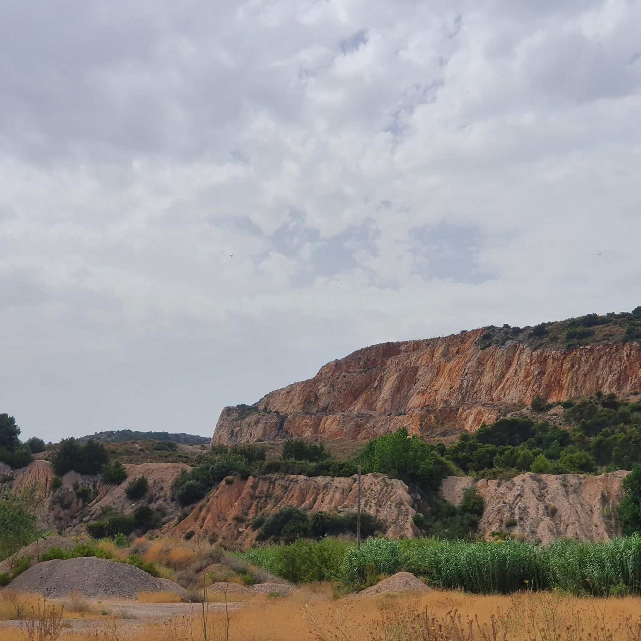
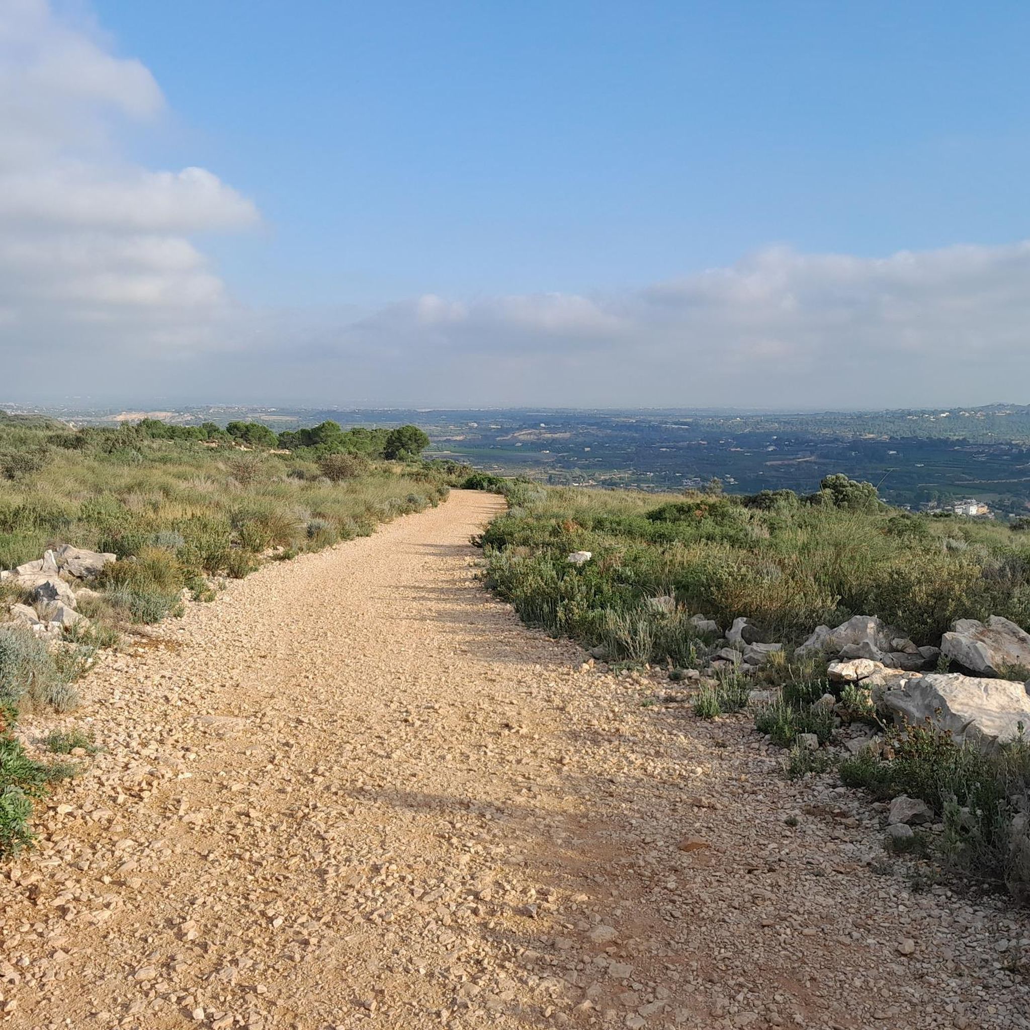
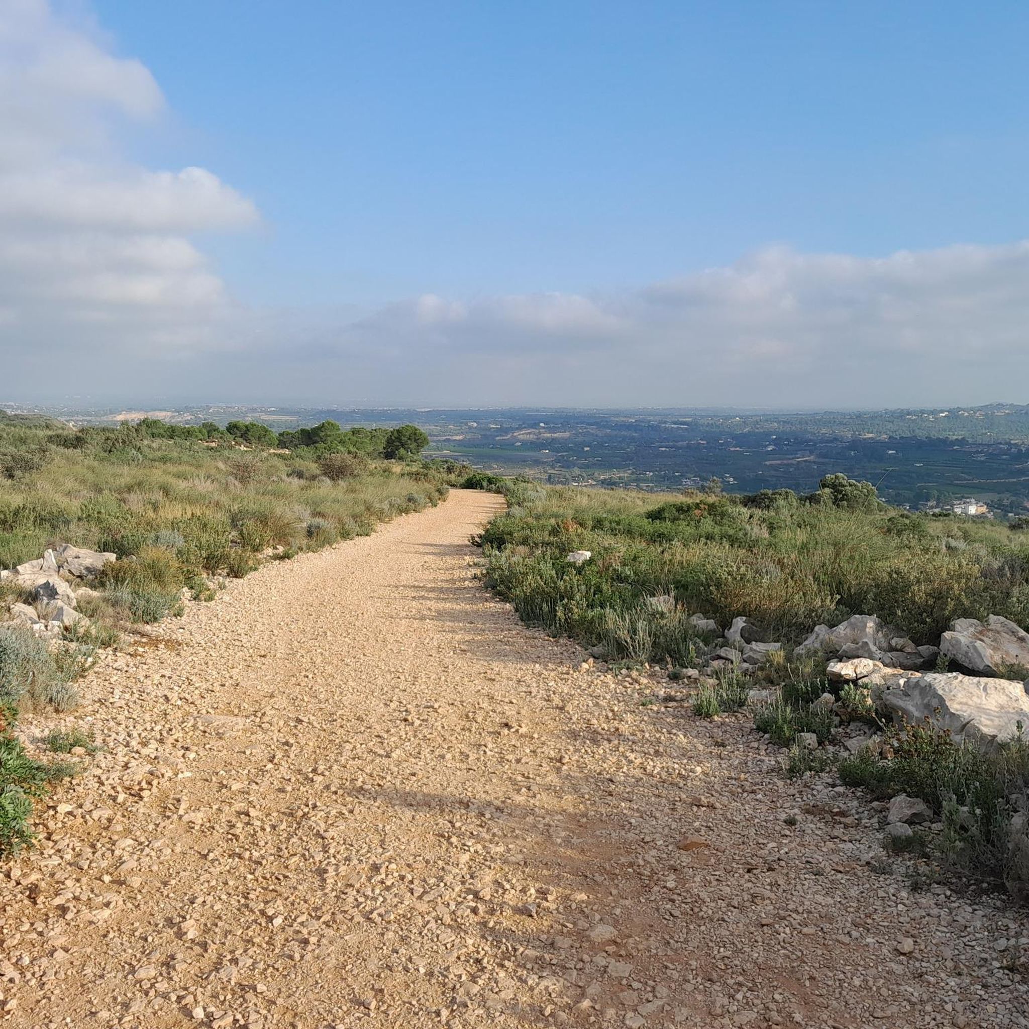
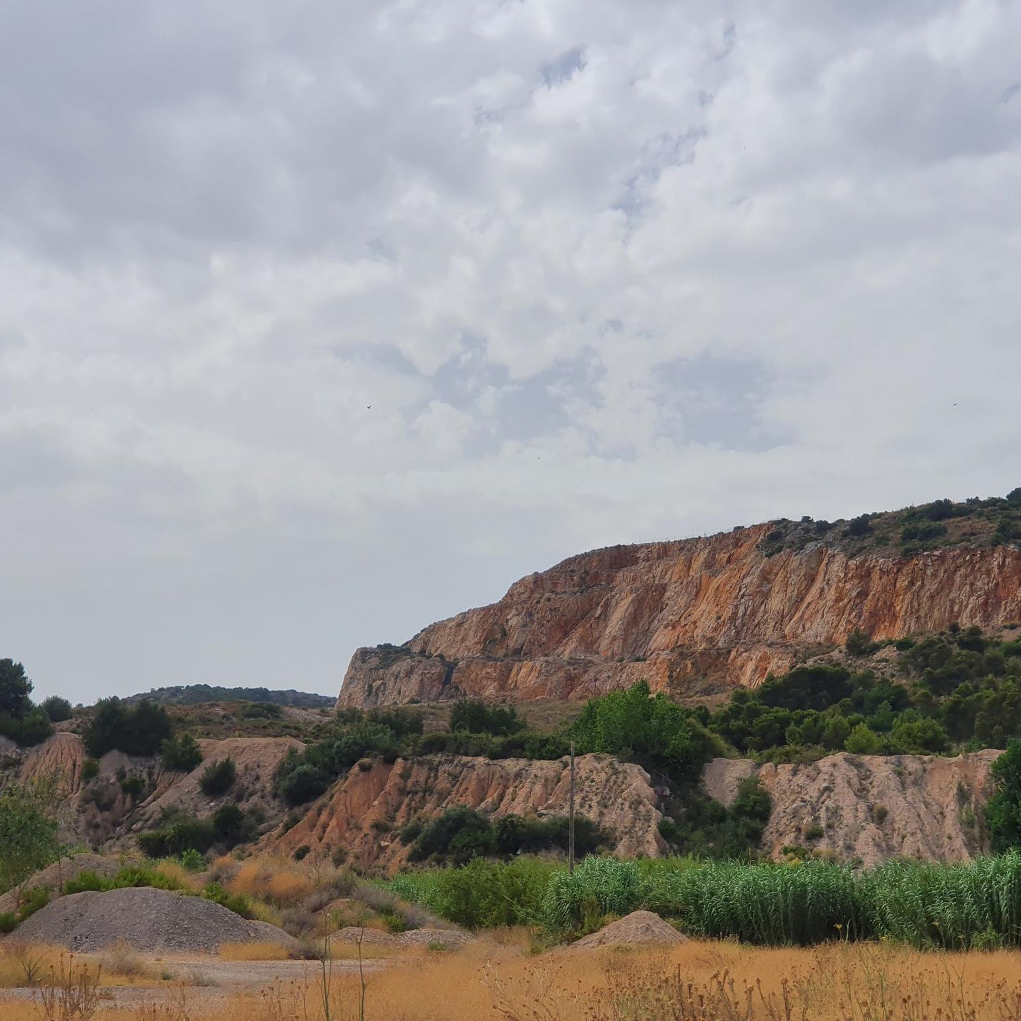
Road cycling routes in Serra Perenxisa traverse a mountain range characterized by hills of moderate elevation and rounded shapes, reaching a maximum height of 329 meters. The area features a network of ravines and Mediterranean garrigue vegetation, including scrubland, white pine, carob trees, and olive trees. From higher points, panoramic views of the Valencian coastal plain and the Albufera natural park are visible. The terrain offers mostly paved surfaces and varied elevation gains, suitable for different fitness levels.
Best road…
Last updated: October 11, 2026
5.0
(2)
30
riders
Moderate road ride. Good fitness required. Mostly well-paved surfaces and easy to ride.
21
riders
Moderate road ride. Good fitness required. Mostly well-paved surfaces and easy to ride.

8
riders
Easy road ride. Great for any fitness level. Mostly well-paved surfaces and easy to ride.
6
riders
11.0km
00:38
220m
220m
Easy road ride. Great for any fitness level. Mostly well-paved surfaces and easy to ride.
78
riders
Hard road ride. Very good fitness required. Some segments of this route may be unpaved and difficult to ride.
Get access to more routes and recommendations from other explorers.
Already have an account?
Our route recommendations are based on thousands of hikes, rides, and runs completed by other people on komoot.
Start today with a free account
Your next adventure awaits.

Tips from the Community

Els Arquets de Dalt acquired the protection of a Site of Local Relevance (BRL) in the year 2000. From this moment on, public initiatives were developed for the recovery, enhancement, and dissemination of Torrent's hydraulic heritage: - The Citizen Platform "Un Barranc Viu sense Formigó": a research project in 1998, aimed, through the publication Un barranc viu. Medi natural i usos tradicionals del barranc de Torrent (2004), to offer a diagnosis of the environmental state, uses, and social perception of this natural space. - Introduction of these Assets in Torrent guia d´itineraris (2009). - Between 2009 and 2010, els Arquets de Dalt and de Baix were restored with the subsidy from the Ministry of Culture, through the General Directorate of Valencian Cultural Heritage. - In 2014, the Master Plan for Hydraulic Heritage was carried out: The publication Ruta pel patrimoni hidràulic, natural i etnogràfic del barranc de l´Horteta i la séquia de Torrent was carried out. It presents the so-called "senda del reg mi.lenari", a 14 km route to visit Torrent's hydraulic heritage, which includes Els Arquets de Dalt and de Baix. - Introduced in the Guide to Natural Spaces of Torrent. - In 2024, cleaning work and the creation of information boards were carried out at els Arquets de Dalt and the Barranc de l'Horteta path was adapted.
0
0

Long mural with two distinct parts, one with characters and the other with a message.
1
0

Very good views from above.
1
0
Parish Church of Siete Aguas, erected in the 18th century and dedicated to San Juan Bautista. Inside, the highly popular images of the Holy Christ of the Afflicted and Saint John the Baptist stand out. The patron saint festivities are celebrated on June 24 in honor of its patron saint, San Juan Bautista.
0
0

Passing point for most routes from the southern part of València to the interior in the regions of Hoya de Buñol and Ribera Alta and later to the regions of Valle de Cofrentes, Plana de Utiel, Serranos and Camp del Turia.
1
0

Famous fountain whose water is collected by all the inhabitants of the region. A sign indicates that it is not drinkable. Central location of the village, there are cafes around where you can eat while hearing the sound of the water.
2
0
The village of Siete Aguas and in particular the church square are very pleasant as a starting point for a hike. Cafés and restaurants are available to eat before or after the hike.
1
0

This ancient bridge appears to have been damaged during a flood and may have been neglected due to the current unimportance of the path across the river. The old wheeled road passed through here.
2
0
Frequently Asked Questions
How many road cycling routes are available in Serra Perenxisa?
Serra Perenxisa offers a wide selection of road cycling routes, with nearly 80 different tours available. These routes cater to various fitness levels, ranging from easy to difficult.
What kind of terrain and landscapes will I encounter on road cycling routes in Serra Perenxisa?
Road cycling in Serra Perenxisa features a diverse landscape characterized by hills of moderate elevation and rounded shapes. You'll ride through Mediterranean garrigue, with scrubland, white pine, carob trees, and olive trees. The routes are predominantly on paved surfaces, often winding through natural forests, and include varied elevation gains.
Are there road cycling routes suitable for beginners or those looking for an easier ride?
Yes, Serra Perenxisa has routes suitable for all skill levels. There are 12 easy road cycling routes available, typically featuring less demanding elevation changes and shorter distances, perfect for beginners or a relaxed ride.
Where can I find more challenging road cycling routes in Serra Perenxisa?
For experienced riders seeking a challenge, Serra Perenxisa offers 20 difficult road cycling routes. These routes often involve significant elevation gains and longer distances, providing a good workout and testing your fitness. An example of a moderate route with notable elevation is the Winery – Camino de Tizón loop from Santo Domingo, which covers 28.5 miles with nearly 500 meters of ascent.
Are there any road cycling routes that offer panoramic views?
Absolutely. From higher points within Serra Perenxisa, cyclists can enjoy magnificent panoramic views of the Valencian coastal plain and the Albufera natural park. Routes like the View of the Sea – Venta Cabrera loop from Paratge Natural Municipal Serra Perenxisa are known for their scenic vistas.
What is the best season for road cycling in Serra Perenxisa?
The Mediterranean climate of Serra Perenxisa generally makes it suitable for road cycling for much of the year. Spring and autumn offer pleasant temperatures, while winter can also be mild. Summers can be hot, so early morning or late afternoon rides are recommended during those months.
Are there circular road cycling routes available in the region?
Yes, many of the road cycling routes in Serra Perenxisa are designed as loops, allowing you to start and finish at the same point. For instance, the Venta Cabrera – Júcar to Turia Canal loop from Morredondo is a popular circular route covering over 34 miles.
What do other road cyclists say about their experience in Serra Perenxisa?
The road cycling routes in Serra Perenxisa are highly rated by the komoot community, with an average score of 4.6 stars from over 37 reviews. Cyclists often praise the varied terrain, the beautiful Mediterranean landscapes, and the stunning panoramic views of the coast and Albufera.
Are there any specific routes that are particularly popular among local cyclists?
Local road cyclists frequently enjoy routes such as the Winery – Camino de Tizón loop from Santo Domingo for its varied terrain and natural beauty, and the Venta Cabrera – Júcar to Turia Canal loop from Morredondo for its scenic vistas through Mediterranean garrigue.
What is the typical duration and elevation gain for road cycling routes in Serra Perenxisa?
Route durations vary significantly based on distance and difficulty. For example, a moderate route like the View of the Sea – Venta Cabrera loop is about 23.7 miles with 370 meters of elevation gain, taking around 1 hour 40 minutes. More challenging routes can involve over 5 hours of cycling and more than 1500 feet of elevation gain.
Can I find routes with significant elevation for training purposes?
Yes, many routes in Serra Perenxisa offer substantial elevation gains, making them ideal for training. For instance, the Fuente La Violeta – La Báscula Spring loop from La Loma features over 650 meters of ascent over 58.8 kilometers, providing a demanding ride.
Most popular routes in Serra Perenxisa

Get inspired with the komoot mobile app


Explore more
Browse the best Road cycling routes in other regions.
