The best walks and hikes in Serra Perenxisa
4.3
(54)
468
hikers
39
hikes
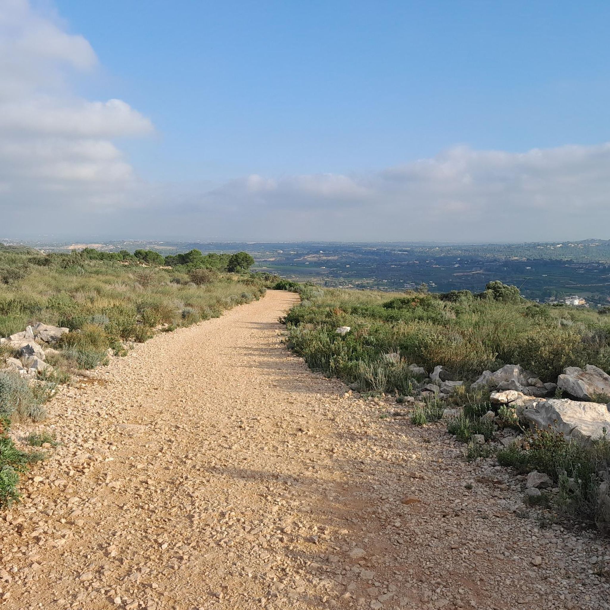
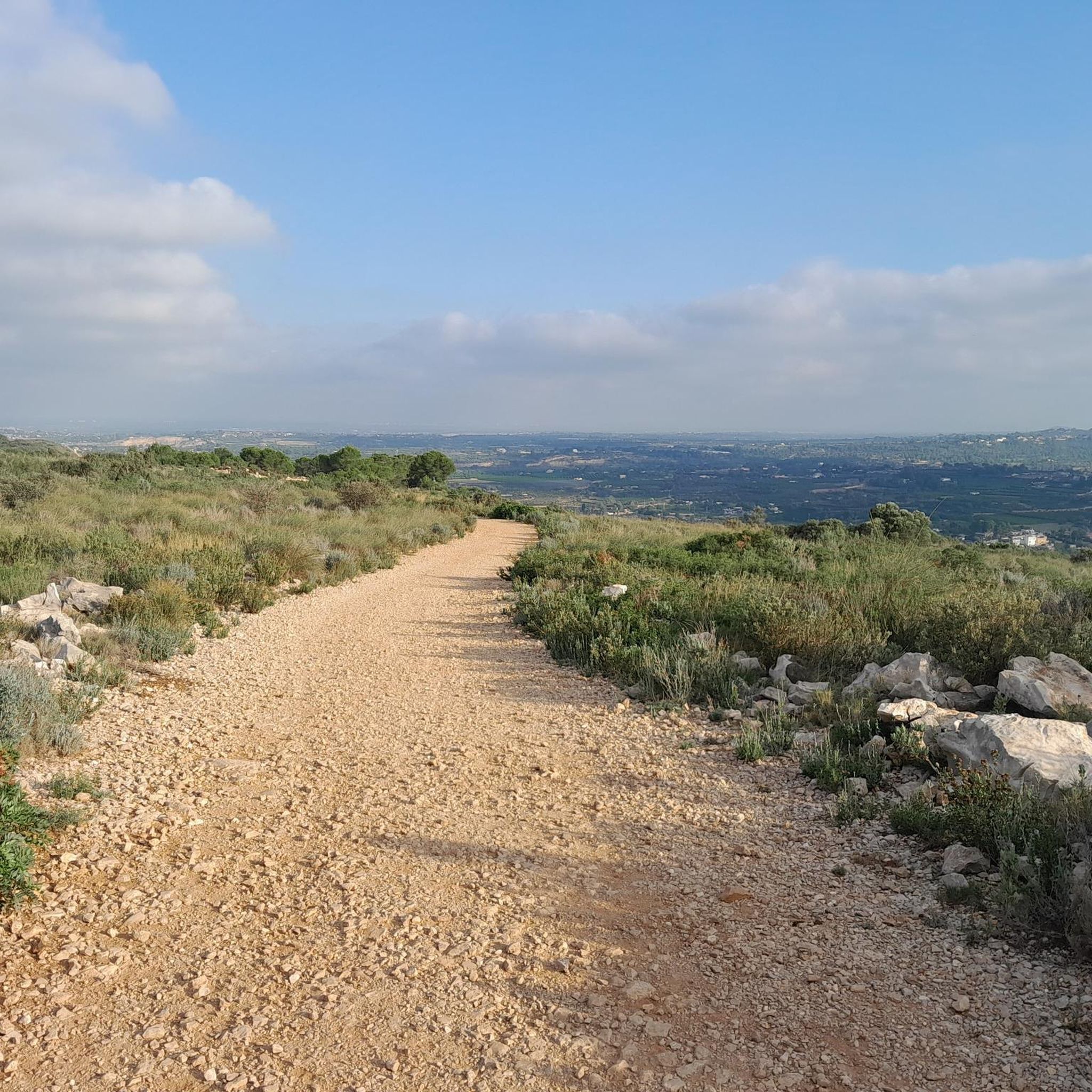
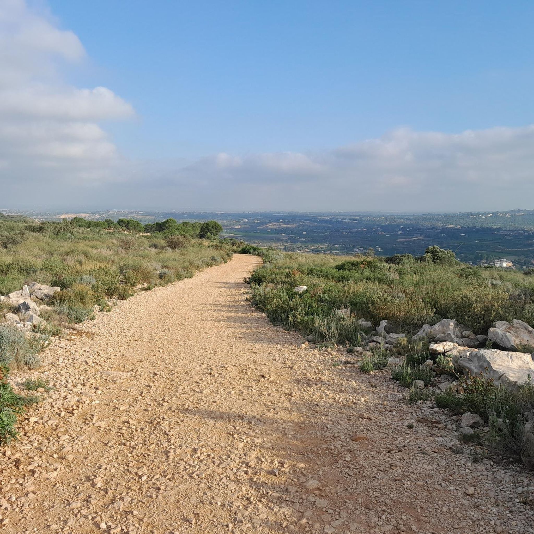
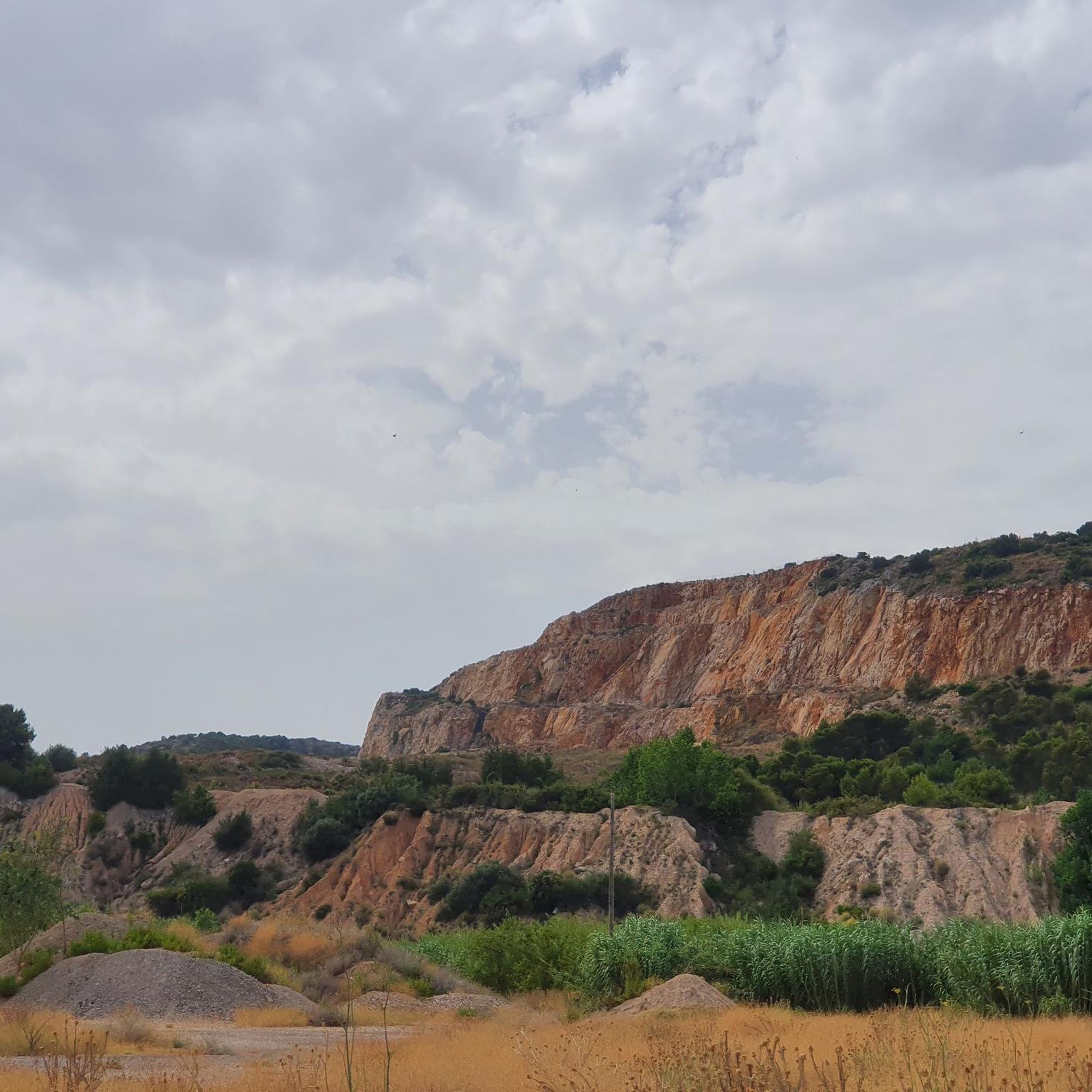
Hiking trails in Serra Perenxisa traverse a transitional mountain ecosystem characterized by rounded hills and an extensive network of ravines. The landscape features Mediterranean scrubland and pine forests, interspersed with carob and olive trees. The area's karstic relief includes limestone pavements and small sinkholes, with the highest point offering panoramic views of the Valencian coastal plain.
Best hiking trails in Serra Perenxisa
- The most popular hiking route is La Serra Perenxisa (PR-CV 162), a 13.3 miles (21.4 km) trail…
Last updated: October 11, 2026
4.0
(2)
5
hikers
21.4km
06:01
410m
410m
Hard hike. Very good fitness required. Easily-accessible paths. Suitable for all skill levels.
3.8
(5)
75
hikers
6.96km
02:02
200m
200m
Moderate hike. Good fitness required. Easily-accessible paths. Suitable for all skill levels.

4
hikers
5.35km
01:27
70m
70m
Easy hike. Great for any fitness level. Easily-accessible paths. Suitable for all skill levels.
4.3
(21)
65
hikers
5.20km
01:23
60m
60m
Easy hike. Great for any fitness level. Easily-accessible paths. Suitable for all skill levels.
5.0
(1)
5
hikers
11.8km
03:13
190m
190m
Moderate hike. Good fitness required. Easily-accessible paths. Suitable for all skill levels.
Get access to more routes and recommendations from other explorers.
Already have an account?
Our route recommendations are based on thousands of hikes, rides, and runs completed by other people on komoot.
Start today with a free account
Your next adventure awaits.

Tips from the Community

After the Dana, it has been fatal
0
0

Curious waterfall in a pool in the ravine.
0
0

a magical place with countless routes on foot and by mountain bike.
1
0

Enchanting and very quiet place, easy to get to, but hidden from the hustle and bustle. I came to him thanks to the recommendation of Datsusara Outdoors.
0
0
The Clot de les Tortugues is part of the natural municipal area of Ninyerola, in Picassent. There is a good pine forest and it is a good place to include in the cycling routes that pass through the El Tello Nature Reserve.
3
0

The antennas of the Cumbre de Calicanto in the Serra Perenxisa offer wonderful views of the city of Valencia, the Levante coast and the Hoya de Buñol. There are several alternatives to get there, either by paved road or a gravel track with greater difficulty. Either way you will have a nice reward when you get up there!
4
0
Nice and colorful waterfall over the ravine. It is located on the path and it allows you to walk over it. It is a very quiet and picturesque place a few meters from the street.
3
0
The El Vedat area is a natural forest with very beautiful paths to walk and recreational areas that are also very popular in spring and summer.
2
0
Frequently Asked Questions
What kind of terrain can I expect when hiking in Serra Perenxisa?
Serra Perenxisa features a transitional mountain ecosystem with rounded hills and an extensive network of ravines that can become active during rainy periods. You'll encounter Mediterranean scrubland, pine forests, and areas with carob and olive trees. The relief is also characterized by karstic features like limestone pavements and small sinkholes.
Are there any easy hiking trails suitable for beginners or families?
Yes, Serra Perenxisa offers several easy routes. For example, La Senda del Vedat (SL-CV 49) — Circular by Monte Vedat is an easy 5.2 km circular path. Another accessible option is the El Vedat Environmental Center loop from l'Horta Sud, which is 6.5 km and also rated easy. There are 15 easy tours available in total.
Can I find circular hiking routes in Serra Perenxisa?
Absolutely. Many trails in Serra Perenxisa are circular, allowing you to start and end at the same point. Popular circular options include La Senda del Vedat (SL-CV 49) — Circular by Monte Vedat and the Clot de les Tortugues loop from Colònia Bon Vent.
What are the best viewpoints in Serra Perenxisa?
From the highest points of Serra Perenxisa, which reach up to 329 meters, hikers can enjoy magnificent panoramic views of the Valencian coastal plain. L'Albufera is a prominent landmark visible from these expansive vistas.
What kind of wildlife can I expect to see in Serra Perenxisa?
The area supports rich biodiversity typical of Mediterranean pine and scrubland. You might spot mammals such as foxes and wild boars, along with a variety of birds like great tits, goldfinches, kestrels, capiroted warblers, blackcaps, and collared flycatchers.
Are there any historical or cultural points of interest along the trails?
Yes, Serra Perenxisa has been inhabited since ancient times, with vestiges from Iberian, Roman, and Arab periods. The 'Camí de la Serra' (Mountain Path) is a narrow forest track historically used by 'granerers' from Torrent to collect palm fronds, offering a glimpse into the region's past.
How many hiking routes are available in Serra Perenxisa?
There are over 30 hiking routes available in Serra Perenxisa, catering to various skill levels. This includes 15 easy routes, 18 moderate routes, and 1 difficult route for experienced hikers.
What do other hikers say about the trails in Serra Perenxisa?
The routes in Serra Perenxisa are highly rated by the komoot community, with an average score of 4.1 stars from over 40 reviews. Hikers often praise the varied terrain, panoramic views, and the accessibility of the natural park close to Valencia.
Is Serra Perenxisa easily accessible by public transport from Valencia?
Serra Perenxisa is located approximately 14 kilometers from Valencia, making it a readily accessible natural retreat. While specific public transport routes to trailheads may vary, its proximity to the Valencia metropolitan area generally allows for convenient access.
Are there any specific designated hiking trails in the area?
Yes, Serra Perenxisa features designated hiking routes such as the PR-CV 162. This trail, known as La Serra Perenxisa (PR-CV 162), is a difficult 21.4 km route that allows hikers to experience the diverse environments of the sierra.
What are the natural features that make hiking in Serra Perenxisa unique?
The unique natural features include its transitional mountain ecosystem, bridging coastal and interior areas, and its karstic relief with limestone formations and springs like the Fuente de Calicanto. The extensive network of ravines and diverse Mediterranean vegetation also contribute to its distinct character.
Most popular routes in Serra Perenxisa

Get inspired with the komoot mobile app


Explore more
Browse the best Hikes in other regions.
