The best road cycling routes in Barrancs Carrasca-Gatillo
73
riders
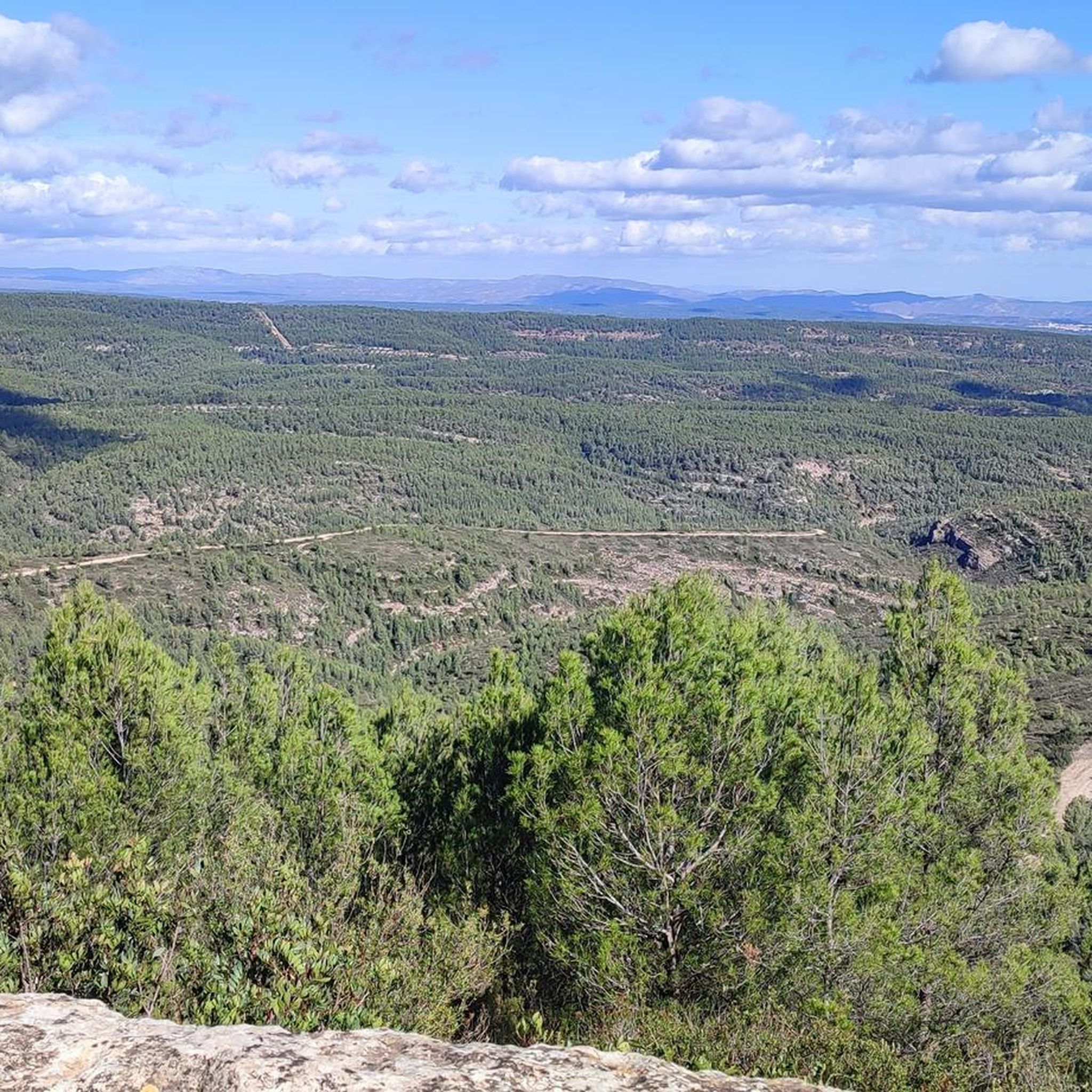
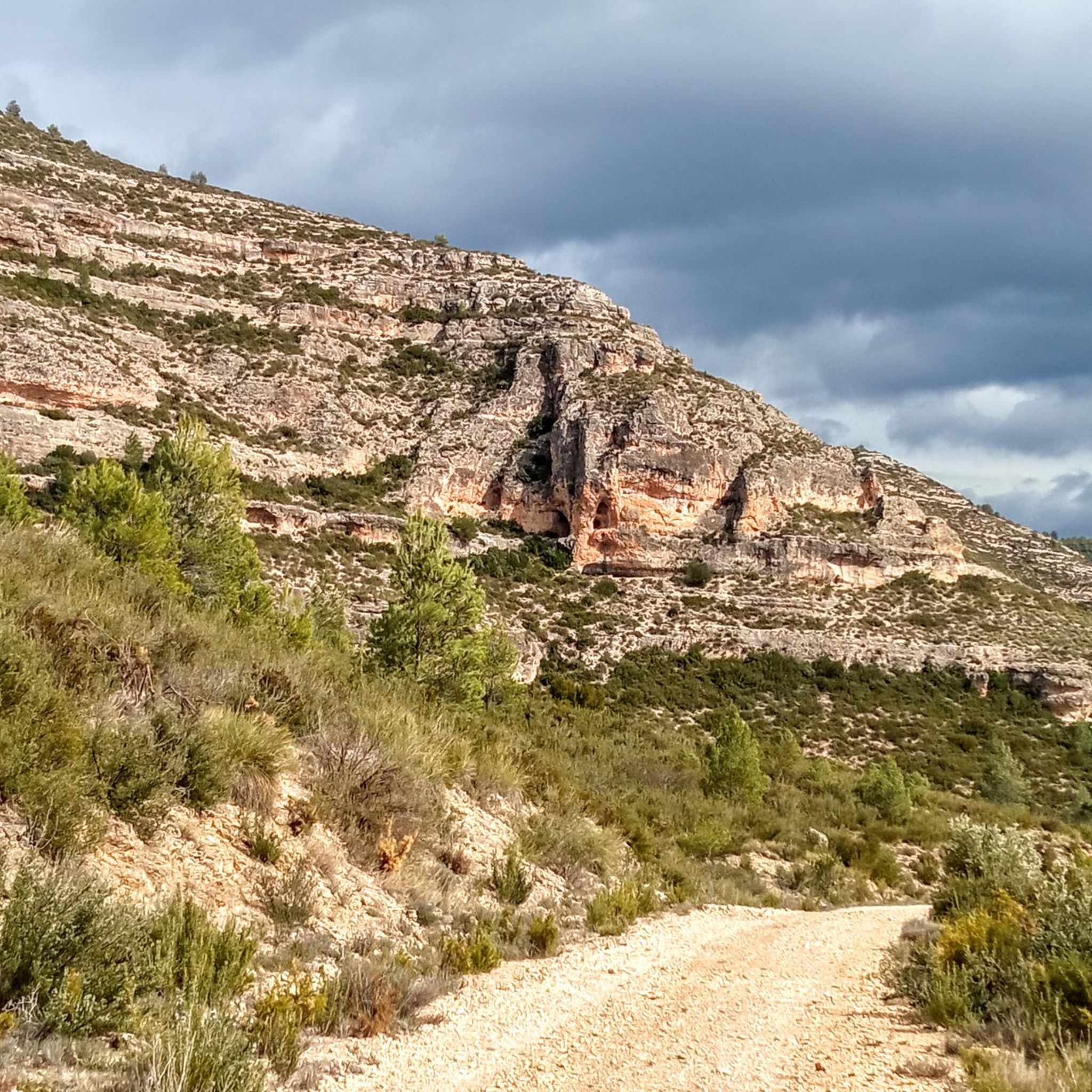
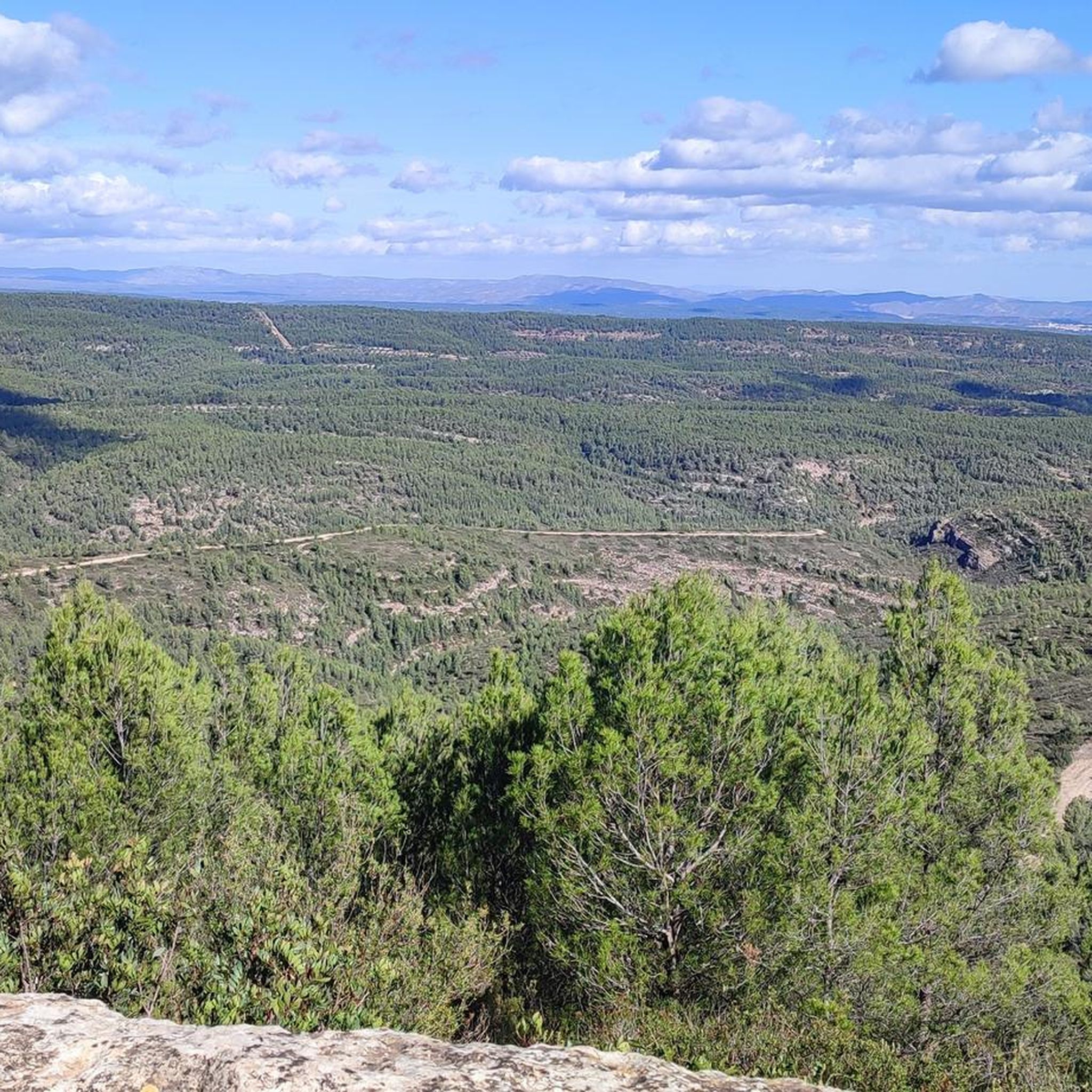
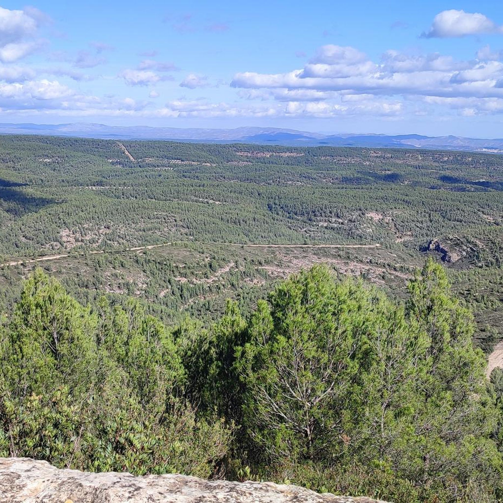
Road cycling in Barrancs Carrasca-Gatillo offers diverse terrain within a Municipal Natural Park characterized by dramatic topography. The region features impressive ravines, canyons, and plateaus, shaped by water erosion, alongside extensive pine forests. Road cycling routes primarily utilize secondary roads, providing panoramic views of the mountainous landscape and allowing cyclists to experience the natural park's periphery. The area around Enguera, encompassing Barrancs Carrasca-Gatillo, provides a network of routes suitable for various fitness levels, from moderate to challenging.
Best road cycling…
Last updated: July 11, 2026
21
riders
44.7km
02:06
420m
420m
Moderate road ride. Good fitness required. Mostly well-paved surfaces and easy to ride.
21
riders
45.0km
01:55
330m
330m
Moderate road ride. Good fitness required. Mostly well-paved surfaces and easy to ride.

Sign up for free
11
riders
47.0km
02:27
430m
430m
Moderate road ride. Good fitness required. Mostly well-paved surfaces and easy to ride.
12
riders
65.6km
03:34
1,220m
1,220m
Hard road ride. Very good fitness required. Some segments of this route may be unpaved and difficult to ride.
8
riders
83.6km
04:17
1,340m
1,340m
Hard road ride. Very good fitness required. Some segments of this route may be unpaved and difficult to ride.
Our route recommendations are based on thousands of hikes, rides, and runs completed by other people on komoot.
Start today with a free account
Your next adventure awaits.
Login or Signup
Popular around Barrancs Carrasca-Gatillo
Tips from the Community

After Benalí, the Río Grande trail begins. It's surrounded by nature at an altitude of 800 meters. A great spot to enjoy the views from this height.
0
0

From Enguera, it's 14.8 km at 3.3% with a maximum gradient of 9%, reaching the summit at 654 (754 according to the sign) meters above sea level after a 488-meter climb. It's a secondary road with little traffic in good condition. However, there's no shade. The last 12.4 km are marked with typical mountain pass signs in the CV.
0
0
From Enguera, it's 14.8 km at 3.3% with a maximum gradient of 9%, reaching the summit at 654 meters above sea level after a 488-meter climb. It's a secondary road with little traffic in good condition. There's no shade, however. The last 12.4 km are marked with typical mountain pass signs in the CV.
0
0

Beautiful facility. We stayed there on our long-distance hike from Tarifa to Switzerland and can highly recommend the accommodation and the excellent cuisine.
3
0
Relatively short port (3.2km at 5.75%) but very enjoyable. Good views.
0
0


The Bolbaite bathing area is beautiful. The water is clean, cool, crystal-clear, so to speak. The bridge is beautiful, and a backdrop of caves and waterfalls. It looks like something out of a movie. The Sellent River is responsible for so much wonder. It's also the river that divides the village of Bolbaite into two (El Lugar and La Peña), connected by two bridges.
0
0

Frequently Asked Questions
What kind of terrain can I expect when road cycling in Barrancs Carrasca-Gatillo?
Road cycling in Barrancs Carrasca-Gatillo primarily involves secondary roads that traverse mountainous terrain. The region is characterized by dramatic ravines, canyons, and plateaus, shaped by water erosion, alongside extensive pine forests. You can expect significant ascents and descents, with some climbs reaching considerable elevations and gradients up to 9%, offering panoramic views of the surrounding natural beauty.
Are there road cycling routes suitable for beginners or those looking for an easier ride?
While many routes in Barrancs Carrasca-Gatillo feature challenging climbs, there are options for varying fitness levels. For instance, the Public washhouse and Sants River – Xàtiva Cathedral loop from Enguera is rated as moderate, covering 27.8 miles (44.7 km) with a manageable elevation gain of around 420 meters. This route offers varied scenery without extreme difficulty.
What are some of the most scenic points or natural features I can see along the road cycling routes?
The region offers stunning natural beauty. Many routes traverse the natural park's periphery, allowing cyclists to experience the forested landscapes and mountainous vistas. You might encounter views of the impressive ravines like Barranco del Gatillo and Barranco de la Carrasca, and unique geological formations such as 'muelas' (tabletop mountains). Routes like the Bolbaite natural pool – Viewpoint of the Salto de Chella loop from Enguera specifically highlight natural pools and scenic viewpoints.
What is the best time of year to go road cycling in Barrancs Carrasca-Gatillo?
The area is generally suitable for road cycling for much of the year. Given its Mediterranean climate, spring and autumn typically offer the most pleasant temperatures for cycling, avoiding the intense heat of summer and potential colder, wetter conditions in winter. These seasons provide comfortable riding conditions and vibrant natural scenery.
Are there any long or challenging road cycling routes for experienced cyclists?
Yes, Barrancs Carrasca-Gatillo offers several challenging routes for experienced cyclists. For example, the Navalón de Arriba Fountain – Albufera de Anna loop from Camping Los Carasoles is a difficult 64.4 miles (103.7 km) route with over 1500 meters of elevation gain. Another demanding option is the Mirador del Majo – Casas de Benalí loop from Enguera, which spans 51.9 miles (83.5 km) with over 1300 meters of climbing.
How many road cycling routes are available in Barrancs Carrasca-Gatillo?
There are 8 road cycling routes listed in Barrancs Carrasca-Gatillo, ranging from moderate to difficult. These routes offer diverse experiences across the region's unique landscape.
What do other road cyclists say about their experience in Barrancs Carrasca-Gatillo?
The road cycling routes in Barrancs Carrasca-Gatillo are highly rated by the komoot community, with an average score of 5.0 stars from 3 reviews. Cyclists often praise the scenic roads, the challenging yet rewarding climbs, and the opportunity to experience the natural park's beautiful periphery and mountainous vistas.
Are there any specific permits required for road cycling in Barrancs Carrasca-Gatillo?
Generally, no specific permits are required for road cycling on the public secondary roads that traverse the Barrancs Carrasca-Gatillo area. However, it's always advisable to respect local regulations and private property signs, especially if venturing off marked routes or into specific protected zones.
Is it possible to find food, drinks, or accommodation near the cycling routes?
The routes are primarily located around the municipality of Enguera, which serves as a good base. Enguera and surrounding towns offer various amenities including cafes, pubs, and accommodation options where cyclists can refuel and rest. While the routes themselves might be remote, services are usually accessible in nearby villages.
What are the typical elevation gains on road cycling routes in this region?
The elevation gains vary significantly depending on the route's difficulty. Moderate routes might have around 350-420 meters of ascent, such as the Bolbaite natural pool – Viewpoint of the Salto de Chella loop from Enguera. More difficult routes, like the Mirador del Majo – Old farm loop from Enguera, can feature over 1200 meters of climbing, providing a significant challenge.
Are there any road cycling routes that are particularly good for spotting wildlife?
The microclimate and morphology of Barrancs Carrasca-Gatillo create a perfect refuge for wildlife, including the mountain goat. While road cycling routes primarily stick to paved roads, many traverse the periphery of the natural park and its extensive pine forests. Keeping an eye out, especially during quieter times of day, might offer opportunities to spot local fauna in their natural habitat.
Most popular routes in Barrancs Carrasca-Gatillo

Get inspired with the komoot mobile app


Explore more
Browse the best Road cycling routes in other regions.
