The best running trails in Villingordo
236
runners
27
runs
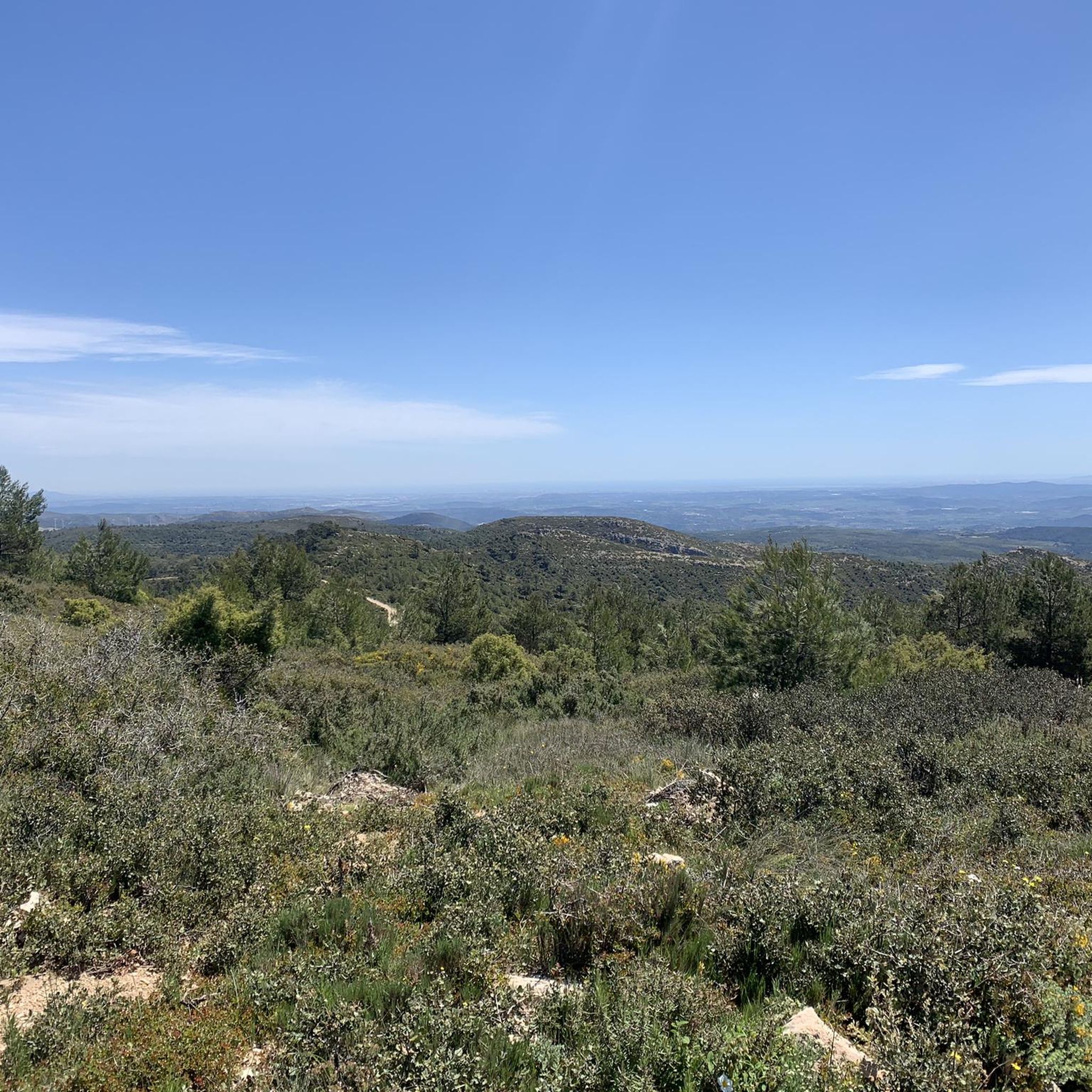
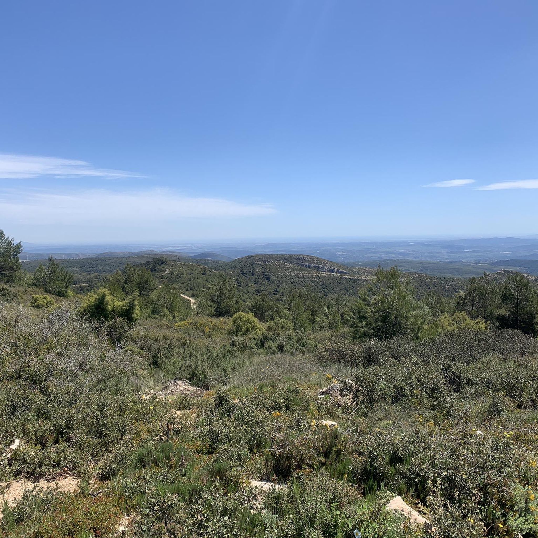
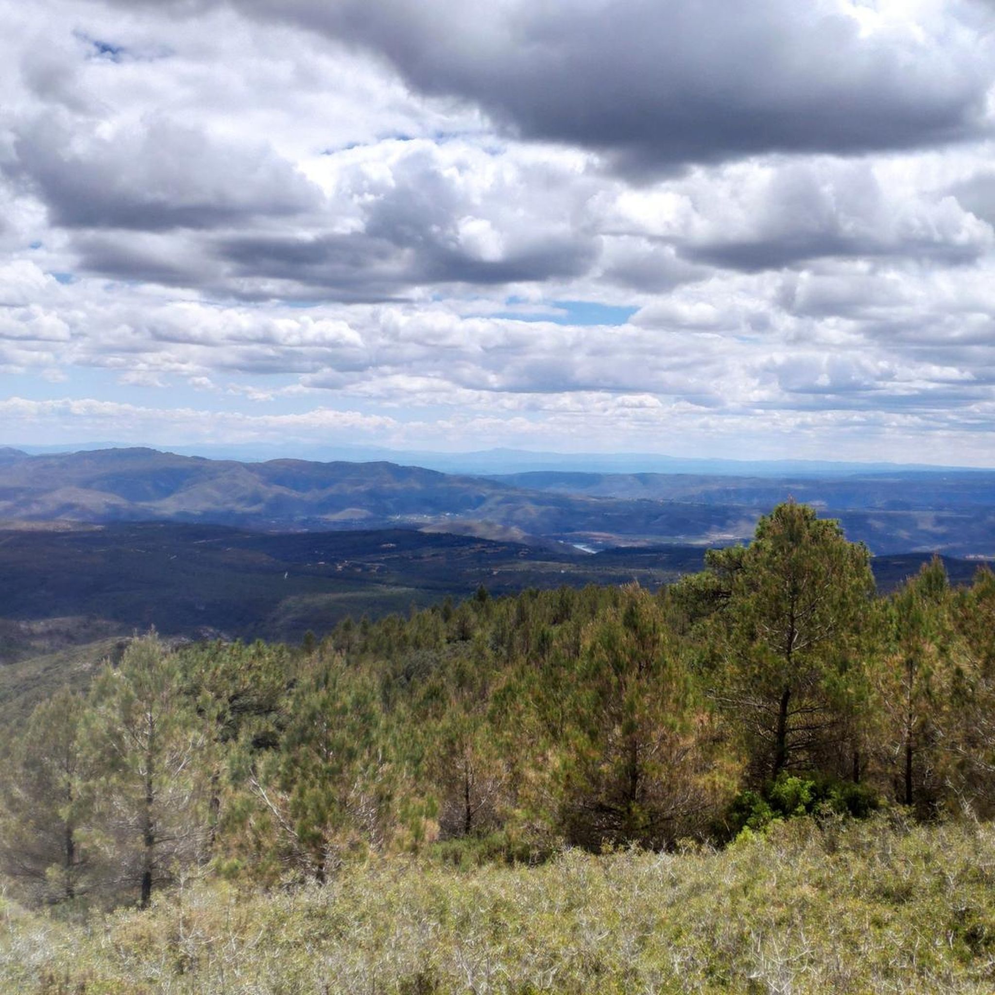
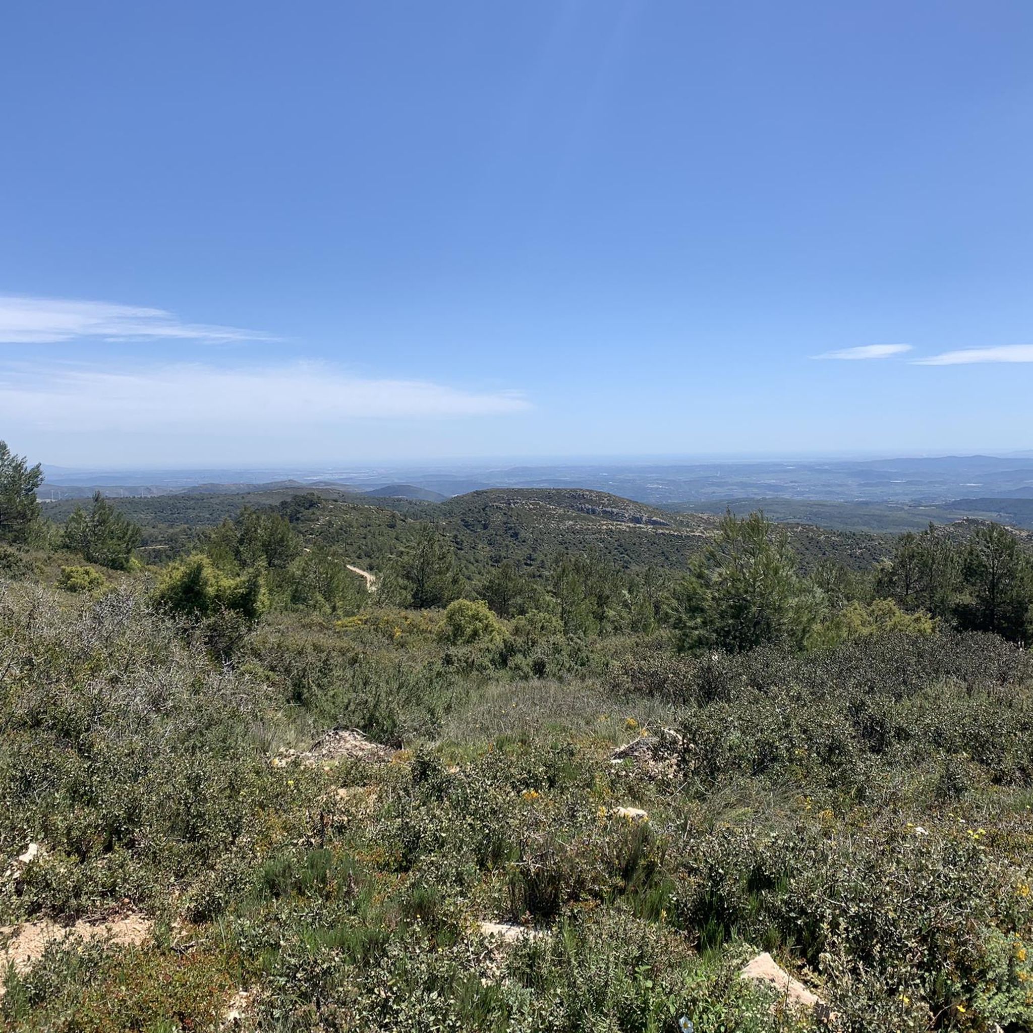
Jogging routes in Villingordo are set within the Municipal Natural Park, characterized by a predominantly forest ecosystem spanning 359.95 hectares. The terrain features the Rambla del Fresnal, a ravine with steep slopes, and the Cerro Simón, a hill reaching 789.6 meters. Dense pine forests with an undergrowth of Mediterranean shrubs, along with dispersed holm oaks and junipers, define the landscape. Riverine ecosystems also contribute to the diverse natural environment, offering varied running trails.
Best jogging routes in Villingordo
- The most…
Last updated: October 1, 2026
46
runners
25.2km
03:22
820m
820m
Hard run. Very good fitness required. Mostly paved surfaces. Suitable for all skill levels.
32
runners
13.2km
01:28
220m
220m
Moderate run. Good fitness required. Mostly paved surfaces. Suitable for all skill levels.

15
runners
20.4km
02:17
350m
350m
Hard run. Very good fitness required. Mostly paved surfaces. Suitable for all skill levels.
9
runners
10.9km
01:18
230m
230m
Moderate run. Good fitness required. Mostly paved surfaces. Suitable for all skill levels.
23
runners
21.8km
02:53
680m
670m
Hard run. Very good fitness required. Mostly paved surfaces. Suitable for all skill levels.
Get access to more routes and recommendations from other explorers.
Already have an account?
Our route recommendations are based on thousands of hikes, rides, and runs completed by other people on komoot.
Tips from the Community

The cycling trip continues along the rural path of the Ruta de la Lana and passes through El Rebollar, an old inn on the Camino Real in Valencia. The slides follow one another among holm oak forests, Aleppo pine groves and vineyard plantations until the final climb towards Siete Aguas begins, on the A-3 service road. The Nature Trail passes through an uncomfortable little tunnel under the highway, then crosses the high-speed train bridge and continues along a path with a lot of stones that can put in trouble those who carry long distances on their bike. The descent to the town is also delicate due to the loose surface. The “Turia sector” of the Natural Trail ends in Siete Aguas. The route to Pedralba, in the Turia valley, has several non-cyclable sections for gravel bikes and we turn around in this beautiful town of Hoya de Buñol-Chiva, famous for the springs that flow in the municipality, such as the fountains of the Papan, of the Gota, of the Apetito, of the Tejería or the great symbol of the town, the popular Fuente de los Siete Caños, in the center of the urban area. The return from Siete Aguas to the highway is recommended along the road to avoid the stone path. And then to Requena along the same route, following the red milestones of the Turia-Cabriel Natural Trail through El Rebollar and the Magro River valley.
0
0

Near Siete Aguas are the remains of this undated aqueduct. Due to the type of construction, it could be a Roman work.
2
0

Is this an original that says so abandoned?
1
0

They look like the remains of an ancient aqueduct, but I haven't found any information about it.
1
0

Running or hiking in Siete Aguas surrounding by mid February is really stunning and charming as it is the time when almond trees are blooming, and you have many fields full of trees blooming, the contrast with the ocre of the ground, the whilte of the stones, the blue of the sky, the green of the olive trees is really fantastic to observe. Beautiful nature !
0
0
Super Nice trail - a must do staying around Siete Aguas !
2
0
Siete Aguas is really a big village where to stay a while. Whatever path you choose to go for a hike, it offers amazing views to the village, and depending of the time of the day, the lights are amazing and give additional charm.... I love this place !!!
1
0
Even if it is not showing in Komoot, il is well marked and well indicated as « Camino natural » you can be helped as well having a views of my runs - I always follow real trails I discovered hanging around when they are not in Komoot
1
0
Frequently Asked Questions
How many running routes are available in Villingordo?
Villingordo offers a selection of 19 running routes, catering to various preferences and fitness levels. These trails are primarily located within the Municipal Natural Park, providing a diverse and engaging environment for runners.
Are there any easy running routes suitable for beginners in Villingordo?
While Villingordo is known for its more challenging terrain, there are no routes specifically classified as 'easy' in our current selection. However, there are 8 moderate routes that might be suitable for beginners looking for a slight challenge, such as the Running loop from El Rebollar, which has minimal elevation gain.
What kind of terrain can I expect on the running trails in Villingordo?
The running trails in Villingordo primarily traverse a forest ecosystem, characterized by dense pine forests and Mediterranean shrubs. You'll encounter varied terrain, including the steep slopes of the Rambla del Fresnal ravine and the elevated areas around Cerro Simón. Riverine ecosystems also contribute to the diverse natural environment.
Are there any circular running routes in Villingordo?
Yes, many of the running routes in Villingordo are circular, allowing you to start and finish at the same point. For example, the popular Pico Montote loop from El Rebollar and the Almond fields – Fuenta de Siete Aguas loop from Siete Aguas are excellent circular options.
What are some notable natural features or landmarks I might see while running in Villingordo?
As you run through Villingordo, you'll experience the natural beauty of the Municipal Natural Park. Key features include the Rambla del Fresnal ravine, the prominent Cerro Simón hill, and dense pine forests. The park also contains significant micro-reserves of flora like 'El Fresnal' and 'Umbría de la Fuente del Roser', offering unique botanical sights.
Are the running routes in Villingordo suitable for long-distance training?
Absolutely. Villingordo offers several routes ideal for long-distance running. The Pico Montote loop from El Rebollar is a challenging 25.1 km (15.6 miles) trail with significant elevation gain, perfect for endurance training. Another option is the Almond fields – Fuenta de Siete Aguas loop from Siete Aguas, which spans 20.8 km (12.9 miles).
What is the best time of year to go running in Villingordo?
Given the predominantly forest ecosystem and varied terrain, Villingordo is generally pleasant for running during spring and autumn when temperatures are milder. Summer can be warm, so early mornings or late afternoons are advisable. Winter running is also possible, offering a different, often quieter, experience amidst the natural landscape.
Are there any family-friendly running trails in Villingordo?
While many routes involve moderate to difficult terrain, families with older children or those looking for a less strenuous experience might consider shorter, moderate options. The Running loop from El Rebollar, at 6 km, offers a relatively flat profile that could be enjoyable for active families.
What wildlife might I encounter on the running trails?
The Municipal Natural Park of Villingordo is home to various wildlife. Runners might spot common species like partridges and rabbits. The park also protects amphibians and reptiles, including common frogs, toads, ocellated lizards, and Montpellier snakes, particularly in areas near water sources.
Are there any historical or archaeological sites near the running routes?
Yes, for those interested in history, two archaeological sites, Puntal del Capador and Cueva Millán, are located near the boundaries of the Municipal Natural Park. These sites offer additional points of interest for explorers combining their run with a cultural discovery.
What is the general difficulty level of running routes in Villingordo?
The running routes in Villingordo are generally considered to be of moderate to difficult intensity. Out of 19 routes, 8 are moderate and 11 are difficult, often featuring significant elevation changes and varied terrain through forested areas and ravines. This makes Villingordo an excellent destination for runners seeking a challenge.
What do other runners say about the trails in Villingordo?
Over 140 runners have explored Villingordo's varied terrain using komoot. While specific ratings are not available, the community frequently praises the secluded nature of the paths within the forested areas, which provides a peaceful and engaging running experience away from crowds.

Get inspired with the komoot mobile app


Explore more
Browse the best Running Trails & Routes in other regions.
