The best MTB trails in Villingordo
4.5
(28)
598
riders
38
rides
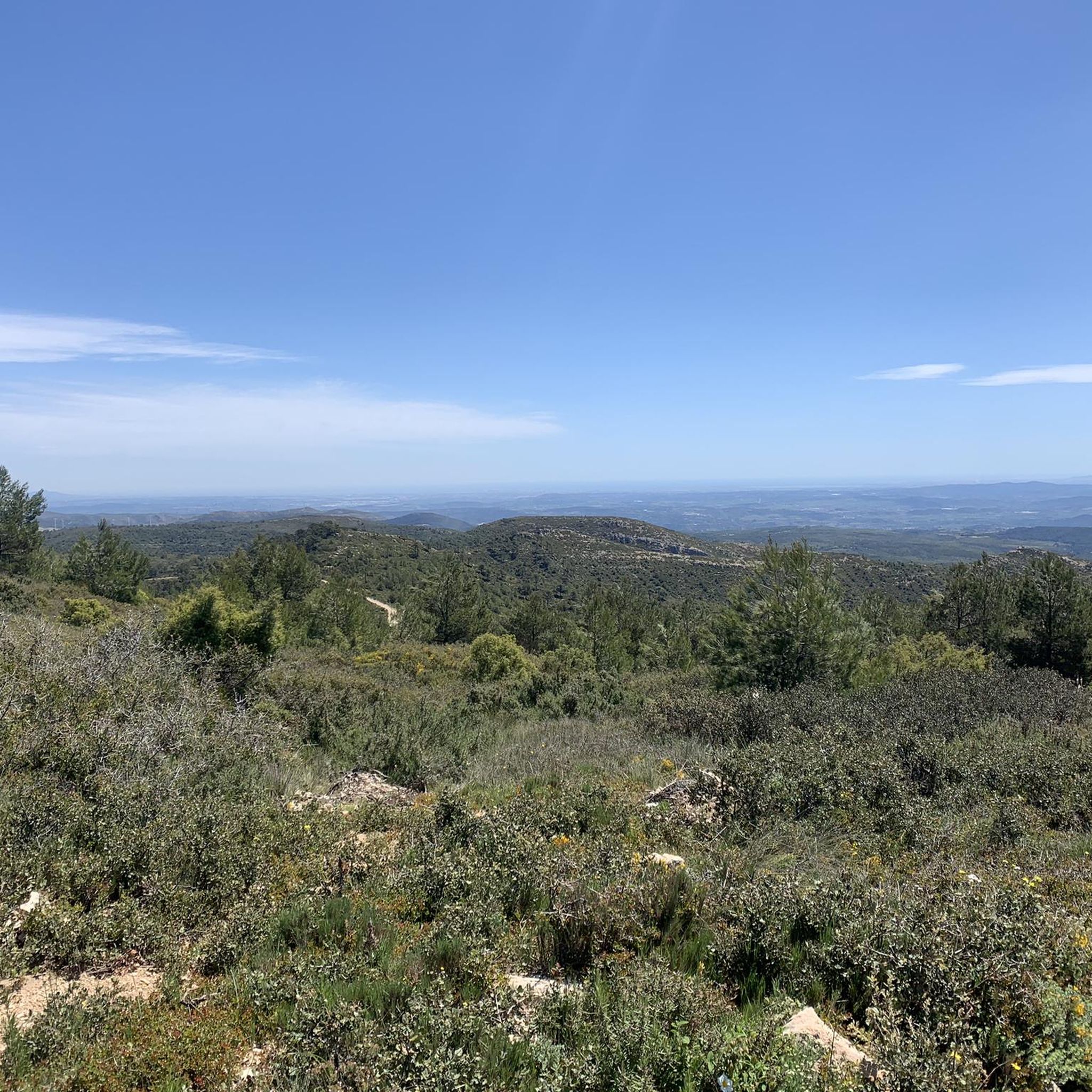
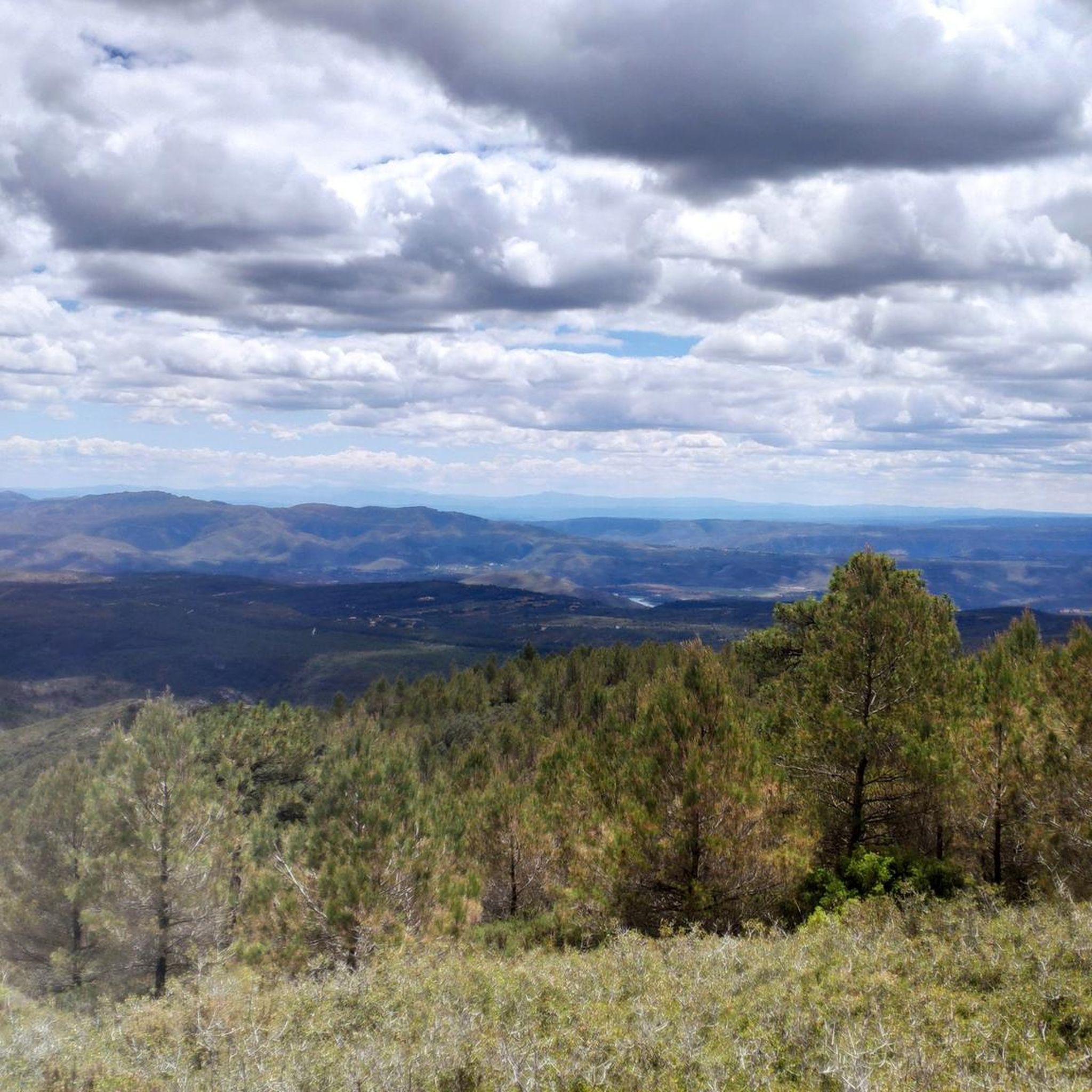
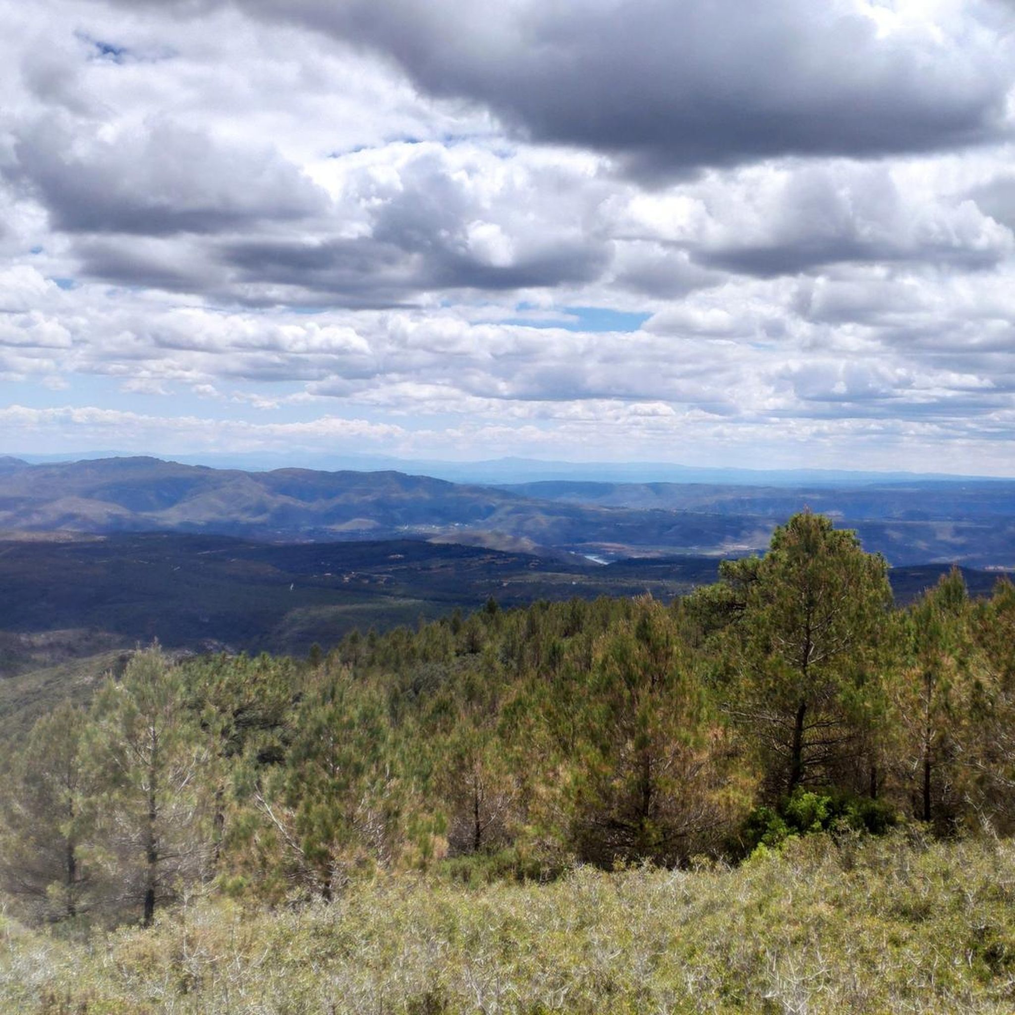
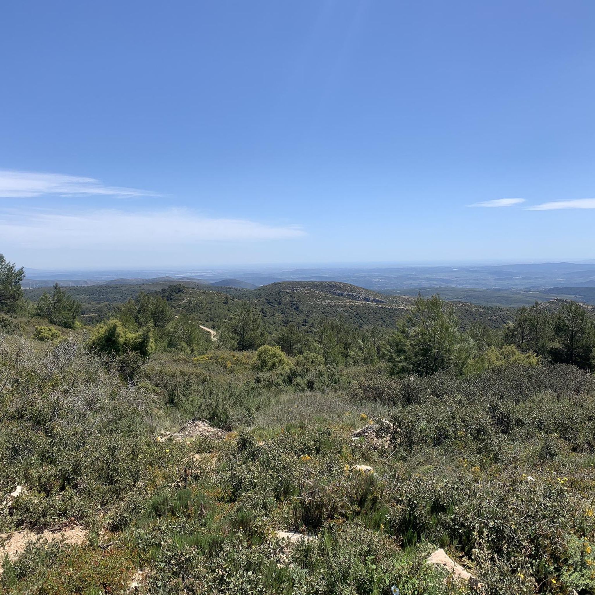
Mountain biking in Villingordo offers diverse terrain within the Paraje Natural Municipal de Villingordo, characterized by dense pine forests and Mediterranean scrubland. The region features the Rambla del Fresnal ravine, which carves through the Sierra de Malacara, presenting pronounced slopes and varied ecosystems. This mountainous landscape provides a range of trails suitable for different skill levels, with elevations reaching significant points like Alto del Cerro Simón.
Best mountain bike trails in Villingordo
- The most popular mountain bike trail is Mijares…
Last updated: October 11, 2026
8
riders
33.9km
03:18
800m
800m
Moderate mountain bike ride. Good fitness required. Suitable for all skill levels.
3.0
(9)
15
riders
41.7km
03:52
910m
910m
Hard mountain bike ride. Very good fitness required. Suitable for all skill levels.

4.7
(3)
188
riders
38.9km
03:28
650m
650m
Moderate mountain bike ride. Good fitness required. Advanced riding skills necessary.
53
riders
44.9km
04:33
1,040m
1,030m
Hard mountain bike ride. Very good fitness required. Advanced riding skills necessary.
44
riders
10.5km
00:57
210m
220m
Moderate mountain bike ride. Great for any fitness level. Advanced riding skills necessary.
Get access to more routes and recommendations from other explorers.
Already have an account?
Our route recommendations are based on thousands of hikes, rides, and runs completed by other people on komoot.
Start today with a free account
Your next adventure awaits.
Tips from the Community

Recreational area with tables and chairs and Municipal Camping Area
0
0

The Mijares River rises at an altitude of 1,600 m in the Sierra de Gúdar mountain range, part of the Iberian System. The Mijares forms a 4,028 km² valley basin. After 156 km, the river flows into the Mediterranean Sea at Valencia.
1
0

Nice view of Siete Aguas. Depending on the season, the almond trees are in bloom, and different types of flowers.
2
0

Near Siete Aguas are the remains of this undated aqueduct. Due to the type of construction, it could be a Roman work.
2
0

Is this an original that says so abandoned?
1
0

They look like the remains of an ancient aqueduct, but I haven't found any information about it.
1
0

Buñol camping area
0
0

From the road you cross the bridge over the Mijares River, a very colorful and picturesque point. In summer it can be a good place to take a refreshing swim. From here you can connect with the GR-7 paths or the paved secondary road that reaches the town of Mijares.
2
0
Frequently Asked Questions
How many mountain bike trails are available in Villingordo?
Villingordo offers a good selection of mountain bike trails, with 35 routes available for exploration. These routes cater to various skill levels, ensuring there's something for everyone.
What is the best time of year for mountain biking in Villingordo?
The region's Mediterranean climate generally makes spring and autumn ideal for mountain biking in Villingordo. During these seasons, temperatures are milder, and the diverse forest ecosystems, including pine forests and Mediterranean scrubland, are particularly vibrant. Summer can be hot, so early mornings or late afternoons are recommended if riding then. Winters are generally mild, but check local weather conditions for any rain or colder spells.
Are there mountain bike trails suitable for beginners in Villingordo?
While Villingordo's trails are primarily rated moderate to difficult, there are 24 moderate routes that can be suitable for riders with some experience looking to progress. These routes offer a good balance of challenge and scenic beauty without being overly technical. There are currently no routes specifically rated as 'easy' in the area.
Are there any challenging mountain bike trails for advanced riders in Villingordo?
Yes, Villingordo offers 11 difficult mountain bike routes for experienced riders seeking a challenge. These trails often feature significant elevation changes, technical sections, and longer distances. An example is the Pico Montote loop from Siete Aguas, which covers nearly 47 km with over 1100 meters of elevation gain.
What kind of landscapes can I expect to see while mountain biking in Villingordo?
Mountain biking in Villingordo takes you through diverse and scenic landscapes. You'll encounter dense pine forests, rich Mediterranean scrubland with mastic trees and kermes oaks, and even riparian ecosystems along ravines. The trails often navigate the mountainous terrain of the Sierra de Malacara, offering pronounced slopes and potentially panoramic views from points like Alto del Cerro Simón.
Are there any circular mountain bike routes in Villingordo?
Yes, many of the mountain bike routes in Villingordo are circular, allowing you to start and end at the same point. For instance, the popular Mijares River loop from Las Moratillas and the challenging Casa del Coronel (Mijares) – Mijares River loop from Casas de la Paridera are both circular routes.
What do other mountain bikers say about the trails in Villingordo?
The mountain bike trails in Villingordo are highly regarded by the komoot community, with an average rating of 4.5 out of 5 stars from over 20 reviews. Riders often praise the varied terrain, the beauty of the dense forests, and the challenging ascents and descents found within the Paraje Natural Municipal de Villingordo.
Are there any specific natural features or points of interest along the mountain bike trails?
Yes, the trails often traverse the Rambla del Fresnal, a significant ravine that carves through the Sierra de Malacara, offering a visually appealing environment with abundant forest cover. You might also pass through areas designated as flora micro-reserves like 'El Fresnal,' known for its rich Mediterranean interior vegetation and flowering ash forests.
What is the typical distance and duration for mountain bike routes in Villingordo?
The mountain bike routes in Villingordo vary in length and duration. Moderate routes, such as the Mijares River loop from Las Moratillas, are around 34 km and take about 3 hours 20 minutes. More difficult routes, like the Yátova Path – Río Magro loop from El Rebollar, can be around 40 km and take closer to 3 hours 40 minutes or more, depending on the elevation and technicality.
Is it possible to see wildlife while mountain biking in Villingordo?
Yes, the Paraje Natural Municipal de Villingordo is home to diverse wildlife. While riding, you might spot various bird species, including birds of prey like the Bonelli's eagle. The park also hosts carnivores such as the garden dormouse and badger, as well as game species like partridges and rabbits. Protected amphibians and reptiles can also be found in suitable habitats.
Are there any historical or archaeological sites near the mountain bike trails in Villingordo?
While not directly on every trail, the Villingordo area is close to archaeological sites such as Puntal del Capador and Cueva Millán. These offer cultural points of interest for visitors looking to explore beyond the trails and learn about the region's history.
What is the highest point reached on mountain bike trails in Villingordo?
Many trails in Villingordo navigate the mountainous terrain of the Sierra de Malacara. While specific trail peaks vary, the Alto del Cerro Simón, with an elevation of 789.6 meters, stands out as a significant reference point within the park, likely offering impressive views from its vicinity or on routes that ascend its slopes.

Get inspired with the komoot mobile app


Explore more
Browse the best MTB trails in other regions.
