The best MTB trails in Las Navas De Malagón
4.5
(2)
8
riders
6
rides
Mountain bike trails in Las Navas De Malagón traverse a landscape shaped by volcanic origins and the Montes de Toledo mountain range. The region features a mix of Mediterranean forest, including holm oaks and cork oaks, providing varied terrain for cycling. Elevation changes are present, offering both climbs and descents across its diverse ecosystems. The area is also known for its seasonal volcanic lagoons, which add a unique geological backdrop to the routes.
Best mountain bike trails in Las Navas…
Last updated: June 26, 2026
3
riders
37.7km
02:46
400m
400m
Moderate mountain bike ride. Good fitness required. Suitable for all skill levels.
1
riders
60.1km
04:34
240m
240m
Moderate mountain bike ride. Good fitness required. Suitable for all skill levels.

Sign up for free
4.0
(1)
1
riders
51.9km
03:34
320m
320m
Mountain bike this 32.3-mile moderate circular route from Malagón, exploring diverse terrain and natural beauty.
5.0
(1)
2
riders
39.1km
02:28
130m
130m
Moderate mountain bike ride. Good fitness required. Suitable for all skill levels.
1
riders
21.9km
01:36
80m
80m
Easy mountain bike ride. Great for any fitness level. Suitable for all skill levels.
Our route recommendations are based on thousands of hikes, rides, and runs completed by other people on komoot.
Start today with a free account
Your next adventure awaits.
Login or Signup
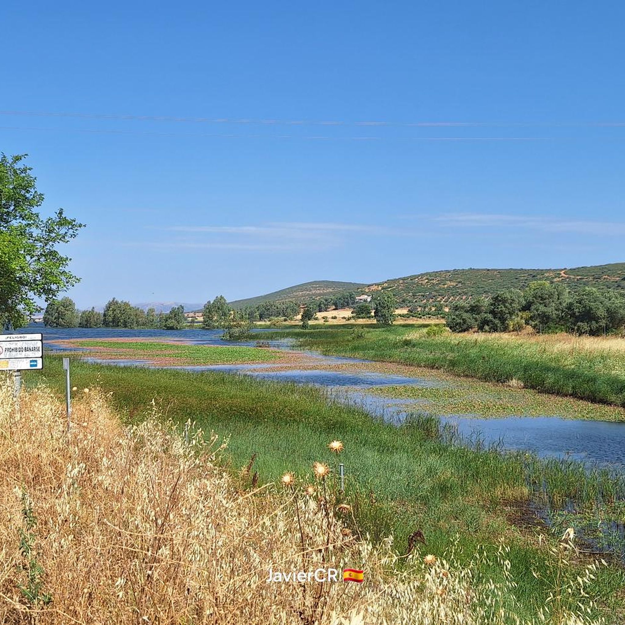
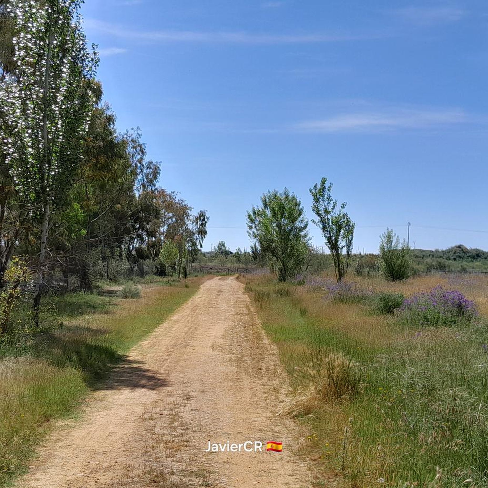
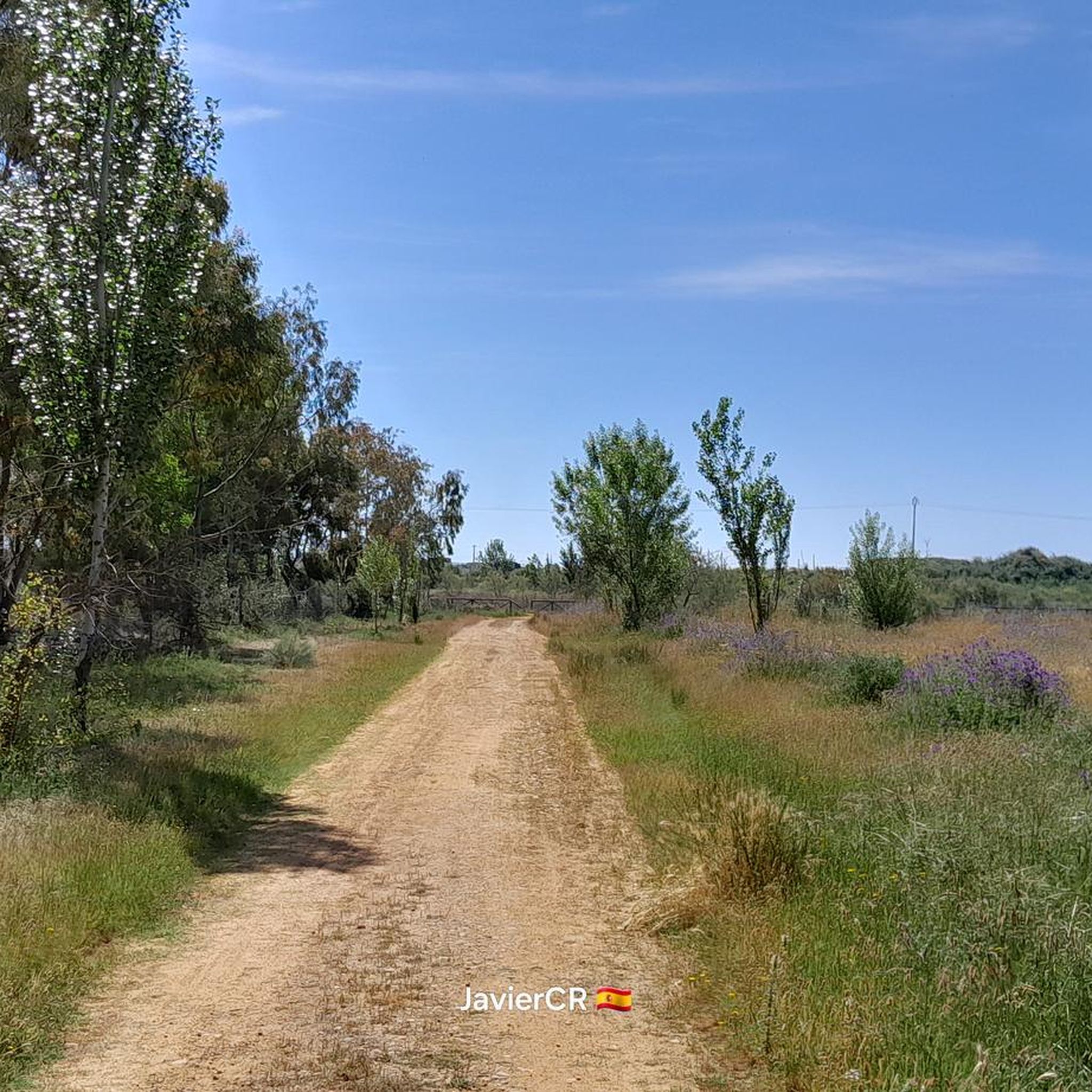

Tips from the Community

Good cycling areas. We can find several alternatives: Towards Gasset, passing through the Giant, Fernan Caballero, of course, or in the other direction, Vicario and Presa.
1
0

The Canal de Gasset Dam, also known as the Gasset Reservoir, is located in the municipality of Fernán Caballero. It supplies water to Ciudad Real and its surrounding area, as well as a small irrigated area of approximately 1,000 hectares. It is a key point for water management in the region and a popular spot for outdoor activities.
27
0
The Hermitage of San Agustín and San Sebastián in Fernán Caballero is a temple of simple, whitewashed architecture, with an elegant porch at the entrance. This hermitage is a significant place for the inhabitants of the town, especially during the patron saint festivities. The festivities of San Agustín are celebrated from August 26 to 31, with various activities, including a procession and fireworks. San Sebastián, on the other hand, is celebrated on January 20 with a procession in his honor.⛪
23
0
In the Sierra de Malagón, there is a hiking route where you can find a replica of King Arthur's famous sword Excalibur. This route also includes a replica of Thor's hammer Mjölnir, making it a unique experience for lovers of mythology and history. If you are interested in exploring this route, I recommend wearing comfortable shoes and water, as it is an excellent opportunity to enjoy nature while discovering these legendary objects. NOT RECOMMENDED BY BIKE!!!😅😅😅
24
0
In the Sierra de Malagón, there is a hiking route where you can find a replica of King Arthur's famous sword Excalibur. This route also includes a replica of Thor's hammer Mjölnir, making it a unique experience for lovers of mythology and history. If you are interested in exploring this route, I recommend wearing comfortable shoes and water, as it is an excellent opportunity to enjoy nature while discovering these legendary objects. NOT RECOMMENDED BY BIKE!!!😅😅😅
18
0
The Malvecinos bridge is located in the northwestern quadrant of the municipality of Carrión de Calatrava, at km 6,500 of the CR-211 provincial highway that goes from Carrión to Fernán Caballero. Since the Middle Ages, its dam-bridge was one of the most notable historical passages of the Guadiana River in this area, forming part of the route of the Cañada Real de la Plata. Unfortunately, its current state is critical due to the uncontrolled growth of vegetation, which has made urgent intervention necessary for its conservation and to avoid its ruin. The Tablas de Calatrava Naturalist Association has promoted a rehabilitation project in four phases to preserve this historical heritage. We hope that this unique enclave in Alto Guadiana can be protected and restored! 🌉🌿
18
0
Bañuelos River Bridge and that takes us to the Camino del Río Banuelos, a dirt road at this time somewhat uncomfortable due to having a lot of vegetation, but it can still be passed.
26
0
In 1941, with the nationalization of the Iberian gauge railways, the facilities passed into the hands of RENFE. In January 1988, the facilities and most of the Madrid-Ciudad Real line were closed due to the construction of the New Railway Access to Andalusia. Currently the travelers building is preserved, which has been converted into a bar.
25
0
Frequently Asked Questions
What kind of terrain can I expect on mountain bike trails in Las Navas De Malagón?
The mountain bike trails in Las Navas De Malagón offer a diverse landscape shaped by its volcanic origins and the Montes de Toledo mountain range. You'll encounter Mediterranean forests with holm oaks and cork oaks, providing varied terrain and natural beauty. The area also features unique seasonal volcanic lagoons and rolling hills, ensuring a mix of climbs and descents.
Are there mountain bike trails suitable for beginners in Las Navas De Malagón?
Yes, Las Navas De Malagón offers trails for various skill levels. Among the 7 available routes, 2 are classified as easy, making them suitable for beginners or those looking for a less strenuous ride. These routes allow you to enjoy the natural surroundings without excessive technical challenge.
Can I find challenging mountain bike routes in Las Navas De Malagón?
Absolutely. For experienced riders seeking a challenge, there is 1 difficult route available in Las Navas De Malagón. An example is the Municipal Pool – Adolfo Suarez Municipal Park loop from Malagón, which covers 61.4 km with an elevation gain of nearly 600 meters, offering a demanding ride through the region's varied terrain.
Are there any circular mountain bike routes in Las Navas De Malagón?
Yes, many of the mountain bike routes in Las Navas De Malagón are designed as loops, allowing you to start and finish at the same point. For instance, the El Chaparrillo Picnic Area – Canal de Gasset Dam loop from Parque El Chaparrillo is a popular moderate 39.4 km circular trail.
What natural features or landmarks can I see along the mountain bike trails?
The trails in Las Navas De Malagón often pass through areas of significant natural beauty. You can expect to see the unique seasonal volcanic lagoons (Nava Grande, Nava de Enmedio, and Nava Chica), which are a geological highlight. Routes like the Malvecinos Bridge – Vicario Dam loop from Parque El Chaparrillo also offer scenic views of local dams and the surrounding natural park. The region is also known for its rich biodiversity, including various bird species.
What is the best time of year for mountain biking in Las Navas De Malagón?
Given the Mediterranean climate and the presence of seasonal lagoons, spring and autumn are generally the best times for mountain biking in Las Navas De Malagón. During these seasons, temperatures are milder, and the natural landscape, including the volcanic lagoons, is often at its most vibrant. Summers can be very hot, and winters can be cooler and wetter, potentially affecting trail conditions.
Are there any mountain bike routes that explore the protected natural reserve?
Yes, you can explore the protected natural reserve of Las Navas de Malagón by mountain bike. The Las Navas de Malagón Reserve Loop is a moderate 51.9 km trail that takes you directly through this significant area, allowing you to experience its rich biodiversity and unique ecosystems.
What do other mountain bikers say about the trails in Las Navas De Malagón?
The mountain bike trails in Las Navas De Malagón are highly regarded by the komoot community, holding an average rating of 4.5 stars from 2 reviews. More than 11 mountain bikers have used komoot to explore the area, often praising the varied terrain, scenic views, and the unique natural environment provided by the volcanic landscapes and Mediterranean forests.
What are the typical distances and elevation gains for mountain bike trails in this region?
The mountain bike trails in Las Navas De Malagón vary in length and elevation. You can find routes ranging from approximately 38 km to over 61 km. Elevation gains also differ, with some moderate routes having around 120-400 meters of ascent, while more difficult trails, like the Municipal Pool – Adolfo Suarez Municipal Park loop from Malagón, can feature nearly 600 meters of climbing.
Is there a moderate mountain bike trail with less elevation gain?
Yes, if you're looking for a moderate ride with a relatively lower elevation gain, consider the Gasset Bridge – Rio Bañuelos loop from Malagón. This trail is approximately 38.2 km long and features an elevation gain of about 124 meters, offering a pleasant ride through the landscape without extensive climbing.
Most popular routes in Las Navas De Malagón

Get inspired with the komoot mobile app


Explore more
Browse the best MTB trails in other regions.
