Zepa Sierra Del Molino, Embalse Del Quípar Y Llanos Del Cagitán
Zepa Sierra Del Molino, Embalse Del Quípar Y Llanos Del Cagitán
The best road cycling routes in Zepa Sierra Del Molino, Embalse Del Quípar Y Llanos Del Cagitán
4.7
(39)
2,048
riders
147
rides
Road cycling in Zepa Sierra Del Molino, Embalse Del Quípar Y Llanos Del Cagitán offers diverse terrain for cyclists. The region features a mix of mountainous areas, indicated by "Sierra del Molino," alongside the flatter "Llanos del Cagitán." Cyclists can expect routes that traverse varied landscapes, including views of the "Embalse del Quípar" reservoir. This area provides a range of gradients, from challenging climbs to more gentle sections, catering to different skill levels.
Best road cycling routes in Zepa Sierra…
Last updated: July 5, 2026
3
riders
75.2km
03:38
890m
890m
Moderate road ride. Good fitness required. Some segments of this route may be unpaved and difficult to ride.
5.0
(1)
25
riders
65.6km
03:07
680m
680m
Moderate road ride. Good fitness required. Mostly well-paved surfaces and easy to ride.

Sign up for free
16
riders
59.5km
02:45
670m
670m
Moderate road ride. Good fitness required. Some segments of this route may be unpaved and difficult to ride.
4.0
(8)
70
riders
66.3km
03:02
720m
720m
Moderate road ride. Good fitness required. Mostly well-paved surfaces and easy to ride.
21
riders
105km
04:49
1,160m
1,160m
Hard road ride. Very good fitness required. Mostly well-paved surfaces and easy to ride.
Get access to more routes and recommendations from other explorers.
Sign up for free
Already have an account?
Our route recommendations are based on thousands of hikes, rides, and runs completed by other people on komoot.
Start today with a free account
Your next adventure awaits.
Login or Signup
Popular around Zepa Sierra Del Molino, Embalse Del Quípar Y Llanos Del Cagitán

Let’s head south – cycle in Andalusia with me and my dog
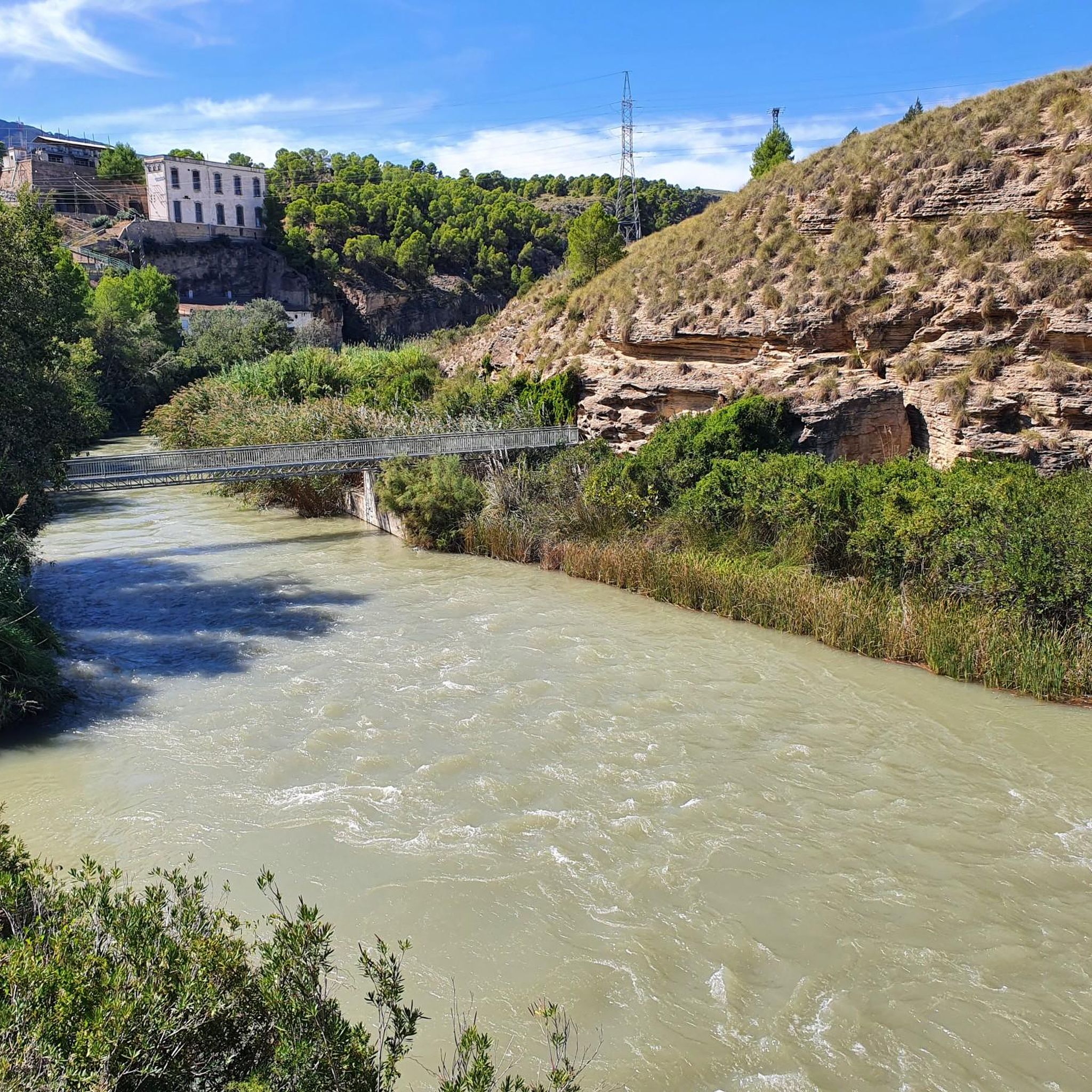
Running Trails in Zepa Sierra Del Molino, Embalse Del Quípar Y Llanos Del Cagitán
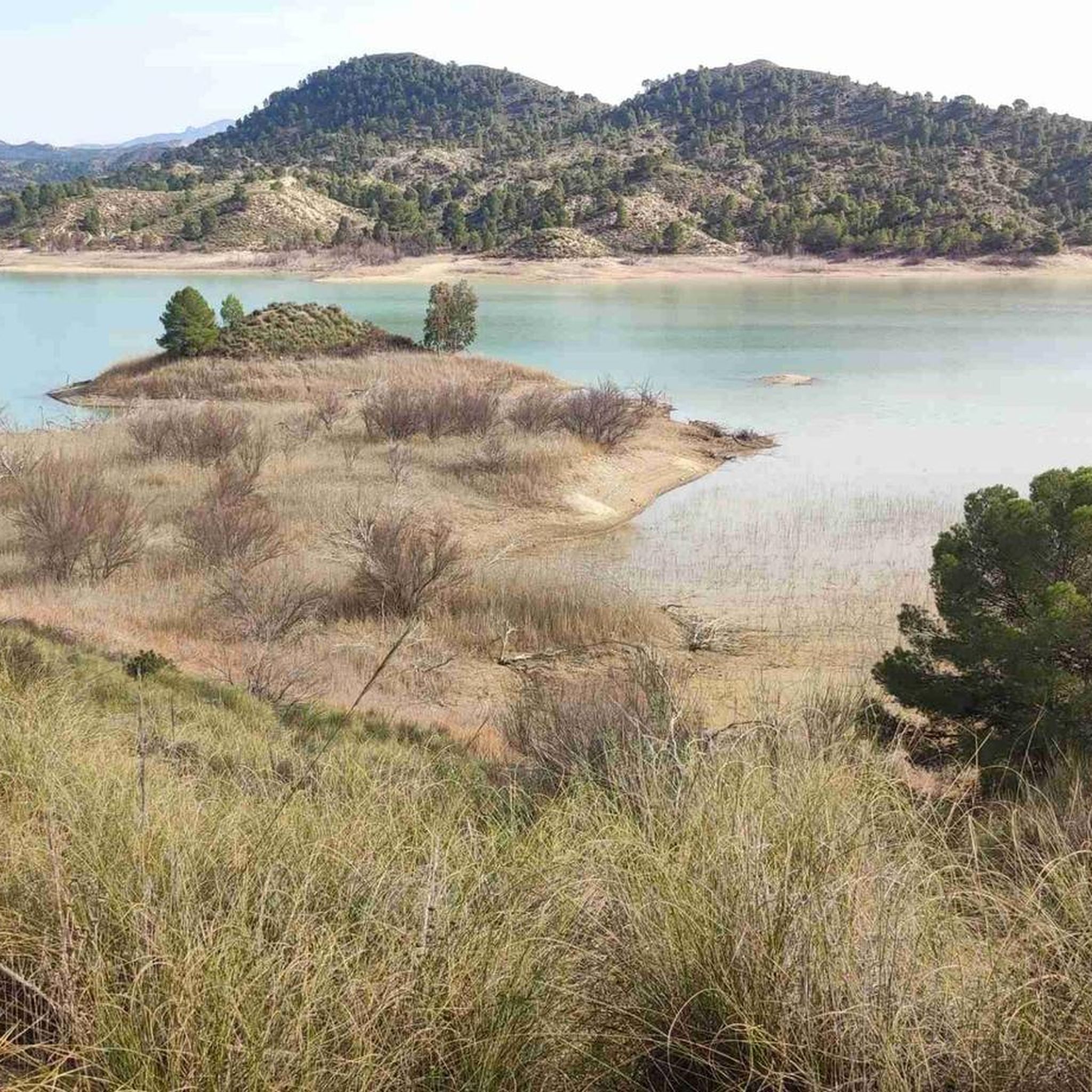
Hiking in Zepa Sierra Del Molino, Embalse Del Quípar Y Llanos Del Cagitán
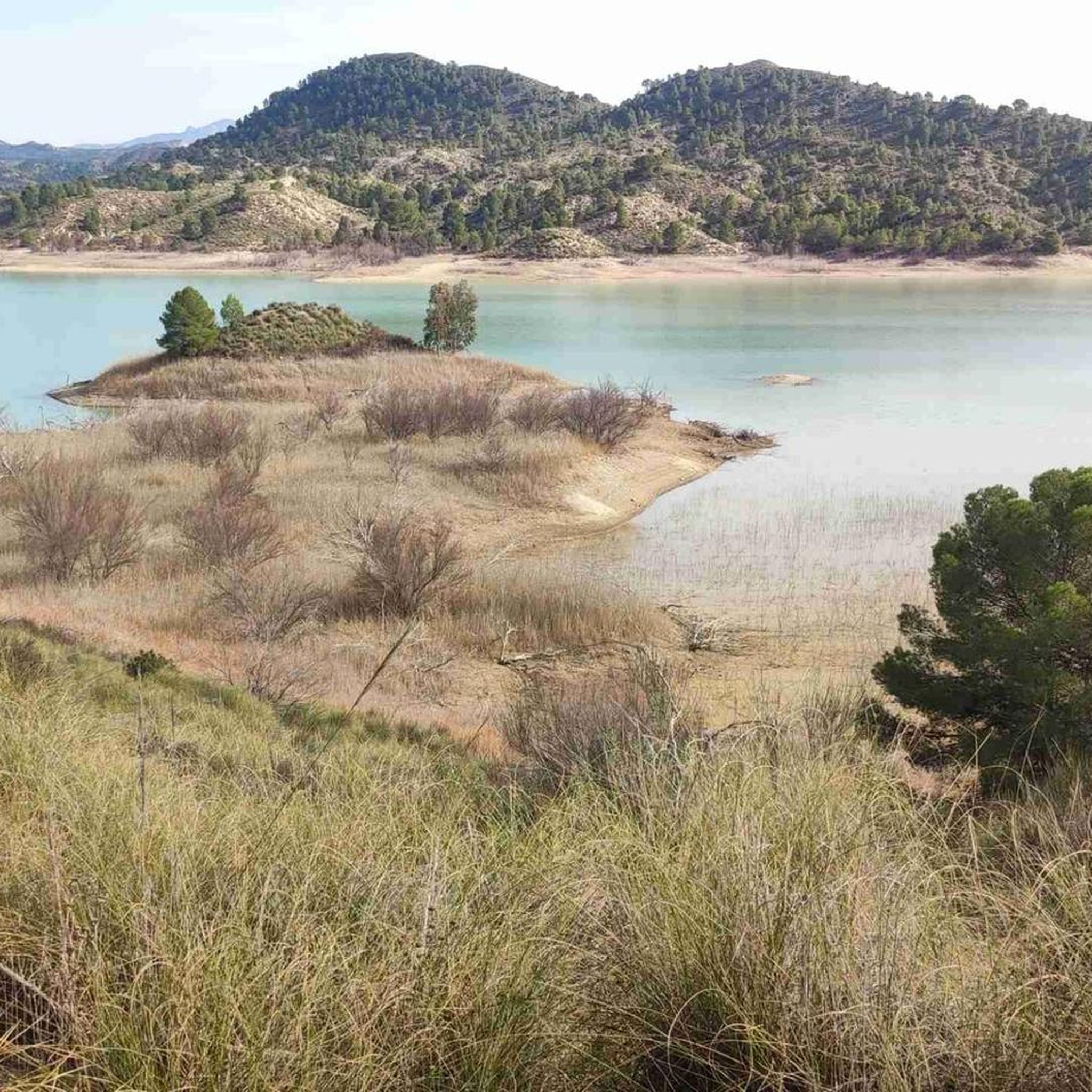
MTB Trails in Zepa Sierra Del Molino, Embalse Del Quípar Y Llanos Del Cagitán
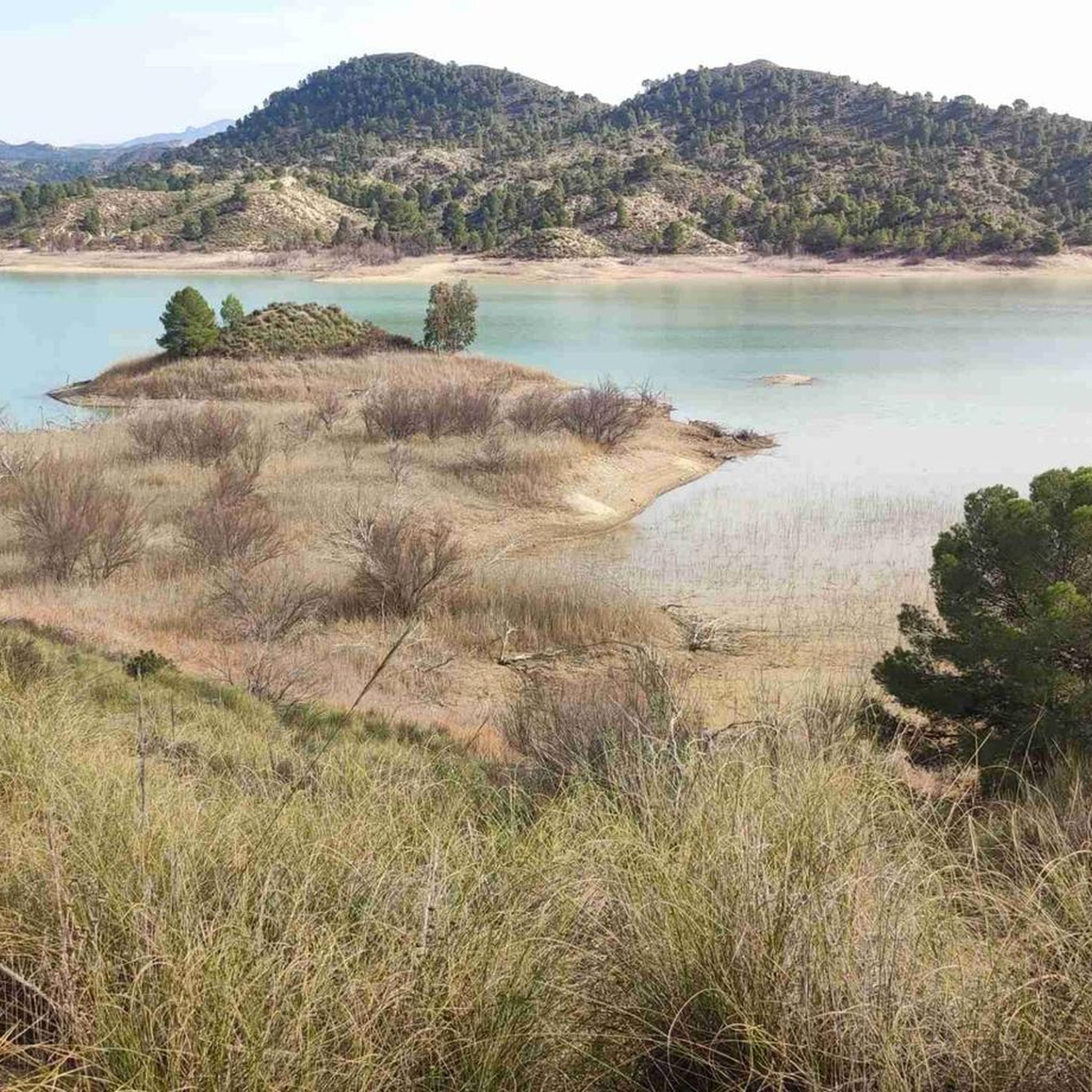
Cycling in Zepa Sierra Del Molino, Embalse Del Quípar Y Llanos Del Cagitán

Gravel biking in Zepa Sierra Del Molino, Embalse Del Quípar Y Llanos Del Cagitán
Other adventures in Zepa Sierra Del Molino, Embalse Del Quípar Y Llanos Del Cagitán

Tips from the Community


If you select this highlight for a bike route, Komoot will take you down a road with no access allowed, However, there is a track to the right that gives a good view of the reservoir. For the bike route there is another Highlight that takes you down a proper signposted road to the Dam. Both are extremely quiet and worth a look.
0
0

Where do you cross over to Morocco?
0
0

This secondary road is a good option to travel between Calasparra and Moratalla. The few vehicles that travel through it are to go to work in their crop fields.
0
0

Here you will find a nice park and a bridge that crosses the river.
0
0

A place where you can rest, take some photos, and take a bath in nature.
0
0

Temple of the eighteenth century, baroque style. Good place to rest and replenish water.
0
1
Frequently Asked Questions
How many road cycling routes are available in Zepa Sierra Del Molino, Embalse Del Quípar Y Llanos Del Cagitán?
There are over 150 road cycling routes in Zepa Sierra Del Molino, Embalse Del Quípar Y Llanos Del Cagitán, offering a wide range of options for all skill levels. This includes 9 easy routes, 83 moderate routes, and 59 difficult routes.
What kind of terrain and difficulty levels can I expect for road cycling in this region?
The region offers diverse terrain, from the mountainous areas of Sierra del Molino to the flatter Llanos del Cagitán, with views of the Embalse del Quípar reservoir. You'll find a mix of challenging climbs and more gentle sections, catering to easy, moderate, and difficult ability levels.
Are there suitable road cycling routes for beginners?
Yes, the region offers several routes suitable for beginners. While specific 'beginner' routes aren't highlighted in the top picks, the overall network includes 9 easy routes. These typically feature less elevation gain and shorter distances, perfect for those new to road cycling.
Where can I find challenging road cycling routes in Zepa Sierra Del Molino?
For experienced cyclists seeking a challenge, the region boasts 59 difficult routes. An example of a more demanding route is View of Atalaya de Cieza – La Presa River Beach loop from Calasparra, which covers over 105 km with significant elevation gain.
What are the typical distances and elevation gains on road cycling routes here?
Routes vary significantly. Moderate routes like Castillo de Don Fabio loop from Umbría de la Fuente del Rey are around 75 km with nearly 900 meters of elevation gain. Other routes can be shorter or significantly longer, with elevation gains ranging from a few hundred meters to over a thousand for difficult trails.
When is the best time of year to go road cycling in Zepa Sierra Del Molino, Embalse Del Quípar Y Llanos Del Cagitán?
The best time for road cycling in this region is typically during spring (March to May) and autumn (September to November) when temperatures are milder and more comfortable for sustained activity. Summers can be very hot, especially in the open plains, while winters are generally mild but can have cooler, wetter periods.
What can I see along the road cycling routes in the region?
Many routes offer scenic views and pass by notable natural and man-made attractions. You might encounter the Alfonso XIII Reservoir Dam and Quípar River Canyon, the Argos Reservoir, or viewpoints like the View of the Serreta Cave and the Viewpoint of the Cross of Abarán.
Are there any circular road cycling routes available?
Yes, many routes in the region are designed as circular loops, offering varied scenery without retracing your path. An excellent example is Bullas, Cehegin and Embalse del Argos — circular from Calasparra, which provides scenic views around the Embalse del Argos.
What do other road cyclists enjoy the most about road cycling in Zepa Sierra Del Molino, Embalse Del Quípar Y Llanos Del Cagitán?
The area is highly rated by the komoot community, with an average score of 4.7 stars from over 30 reviews. Reviewers often praise the diverse landscapes, including mountainous terrain, reservoir views, and open plains, as well as the variety of routes catering to different skill levels.
Are there any routes that pass by significant landmarks or historical sites?
Yes, some routes offer glimpses of historical or significant structures. For instance, the The Arches of Moratalla – Moratalla loop from Calasparra route takes you through areas with cultural interest, while the Almadenes Hydroelectric Power Station is another notable point of interest you might encounter.
Can I find routes that feature reservoir views?
Absolutely. The region is known for its reservoirs. Routes like Pantano de Alfonso XIII y Cieza — return from Calasparra specifically lead through reservoir areas, offering beautiful waterside scenery.
Most popular routes in Zepa Sierra Del Molino, Embalse Del Quípar Y Llanos Del Cagitán
Most popular attractions in Zepa Sierra Del Molino, Embalse Del Quípar Y Llanos Del Cagitán

Get inspired with the komoot mobile app


Explore more
Browse the best Road cycling routes in other regions.
