The best walks and hikes in Zepa Sierra Del Molino, Embalse Del Quípar Y Llanos Del Cagitán
4.5
(362)
1,813
hikers
14
hikes
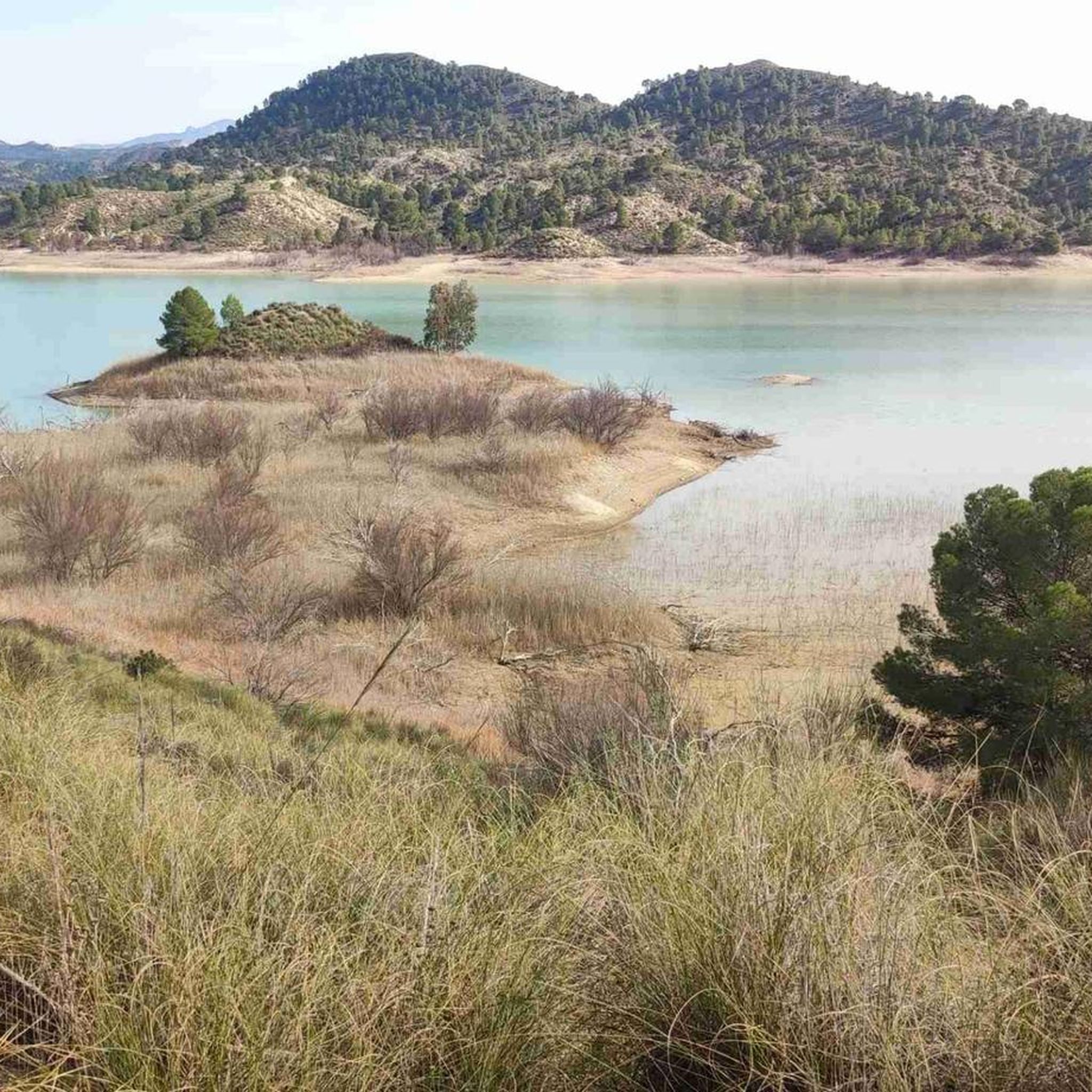
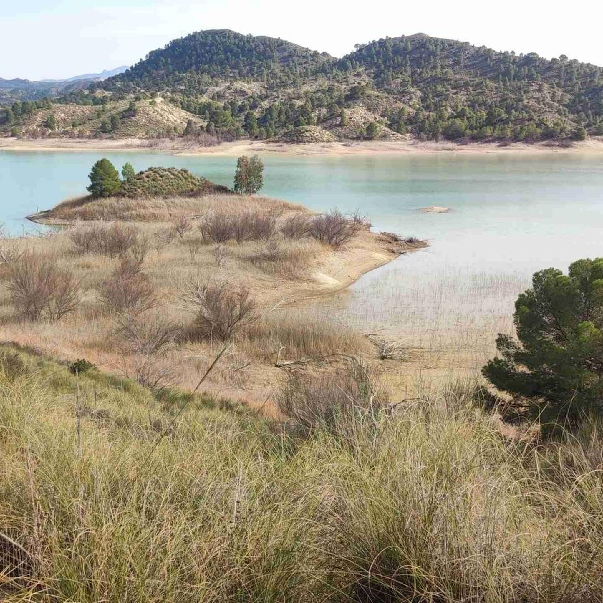
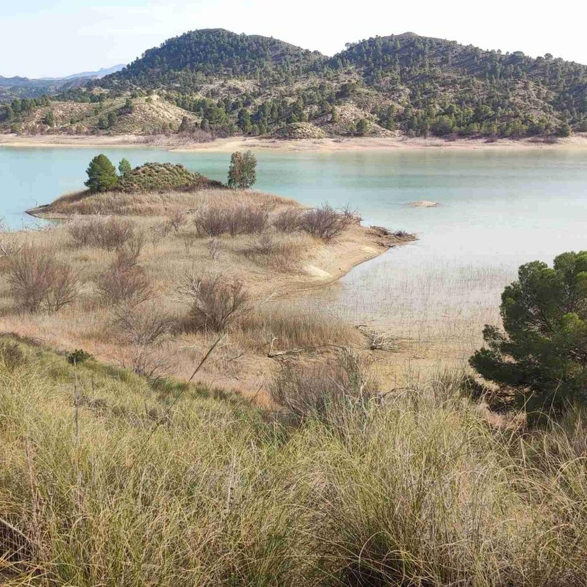
Hiking in Zepa Sierra Del Molino, Embalse Del Quípar Y Llanos Del Cagitán offers diverse landscapes ranging from mountainous terrain to extensive plains and aquatic environments. The region features the Sierra del Molino, providing elevated views, and the Embalse del Quípar, a central reservoir surrounded by reed beds. The Llanos del Cagitán are characterized by semi-arid plains with traditional dryland farming. Elevations in the area vary from approximately 400 to 826 meters, providing varied hiking experiences.
Best hiking trails in…
Last updated: July 7, 2026
4.5
(19)
47
hikers
6.08km
01:43
130m
130m
Easy hike. Great for any fitness level. Easily-accessible paths. Suitable for all skill levels.
5.0
(1)
4
hikers
11.8km
03:19
240m
240m
Moderate hike. Good fitness required. Easily-accessible paths. Suitable for all skill levels.

Sign up for free
3.0
(1)
1
hikers
13.7km
03:49
270m
270m
Moderate hike. Good fitness required. Easily-accessible paths. Suitable for all skill levels.
3.0
(1)
3
hikers
5.45km
02:12
280m
280m
Moderate hike. Good fitness required. Mostly accessible paths. Sure-footedness required.
5.0
(1)
1
hikers
7.00km
01:49
50m
50m
Easy hike. Great for any fitness level. Easily-accessible paths. Suitable for all skill levels.
Get access to more routes and recommendations from other explorers.
Sign up for free
Already have an account?
Our route recommendations are based on thousands of hikes, rides, and runs completed by other people on komoot.
Start today with a free account
Your next adventure awaits.
Login or Signup
Popular around Zepa Sierra Del Molino, Embalse Del Quípar Y Llanos Del Cagitán

Let’s head south – cycle in Andalusia with me and my dog
Running Trails in Zepa Sierra Del Molino, Embalse Del Quípar Y Llanos Del Cagitán
Road Cycling Routes in Zepa Sierra Del Molino, Embalse Del Quípar Y Llanos Del Cagitán
MTB Trails in Zepa Sierra Del Molino, Embalse Del Quípar Y Llanos Del Cagitán
Cycling in Zepa Sierra Del Molino, Embalse Del Quípar Y Llanos Del Cagitán

Gravel biking in Zepa Sierra Del Molino, Embalse Del Quípar Y Llanos Del Cagitán
Other adventures in Zepa Sierra Del Molino, Embalse Del Quípar Y Llanos Del Cagitán

Tips from the Community

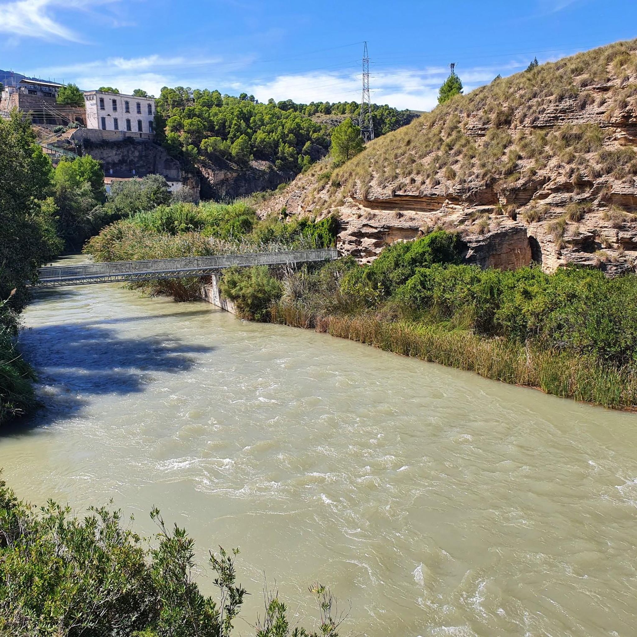
Very picturesque and entertaining trail through the Segura River canyon in the Almadenes area. It is part of the GR 127 trail and in this section, it connects the town of Almadenes with Calasparra following the riverbed, a very beautiful section with very interesting sections such as plank bridges used in the construction of the dam.
0
0

The Almadenes Gorge is a protected natural area located on the upper reaches of the Segura River in the Murcia region between the municipalities of Calasparra and Cieza. A beautiful gorge that at some points has vertical walls of more than one hundred meters high. The Presa de Mulata, the dam of the Mulata, on the side of Calasparra is the only reservoir along the gorge and causes a considerable decrease of the flowing of the river, the continuous course of the water is reduced there to almost a group of large ponds. Most of the power is diverted to the Almadenes hydroelectric power plant, located downstream in the direction of Cieza.
1
0

The most beautiful of the most beautiful!!
1
0
A true paradise to enjoy spectacular panoramic views after a challenging climb up the Senda del Monje, the only way to get there passing through the Sanctuary of the Virgen de Oro.
2
0
The plains of Cagitán is a protected area in the interior of the Vega del Segura region. It is a plain used for sowing that in spring the intense color of the crops makes it a very picturesque place.
2
0
Beautiful place to enjoy spectacular panoramic views after an entertaining climb up the Senda del Monje, the only way to get there passing through the Sanctuary of the Virgen de Oro.
2
0
A few kilometers from the town of Abarán is this Sanctuary that also offers wonderful views of the valleys of La Vega del Segura. A very nice and quiet place.
1
0
Very picturesque and entertaining trail through the Segura River canyon in the Almadenes area. It is part of the GR 127 trail and in this section, it joins the town of Almadenes with Calasparra following the course of the river, a very beautiful section with very interesting sections such as board bridges used in the construction of the dam.
1
0
Frequently Asked Questions
How many hiking trails are available in Zepa Sierra Del Molino, Embalse Del Quípar Y Llanos Del Cagitán?
The region offers a diverse network of over 15 hiking trails, catering to various skill levels. You'll find everything from easy strolls across plains to more challenging ascents in the mountainous areas.
What kind of terrain can I expect on hikes in this region?
Hikers can experience a wide variety of landscapes, including the prominent Sierra del Molino mountain range, extensive semi-arid plains of Llanos del Cagitán with traditional dryland farming, and paths around the Embalse del Quípar reservoir. Elevations range from approximately 400 to 826 meters, offering gentle hills and steeper sections.
Are there any family-friendly hiking options?
Yes, there are several easy trails suitable for families. For instance, the Walk through the Cagitán Plains is an easy route that allows you to explore the distinctive agricultural landscapes without significant elevation changes.
Can I bring my dog on the trails?
Many trails in the Zepa Sierra Del Molino, Embalse Del Quípar Y Llanos Del Cagitán region are dog-friendly. However, it's always recommended to keep dogs on a leash, especially in areas designated as a Special Protection Area for Birds (ZEPA), to protect local wildlife. Check specific trail regulations before you go.
What are some notable natural features or landmarks to look out for?
The region is rich in natural beauty. You can explore the dramatic Quípar River Canyon, enjoy views from the Viewpoint of the Cañón de Almadenes, or visit the picturesque Argos Reservoir. The Sierra del Molino also offers excellent panoramic views.
Are there any circular hiking routes available?
Yes, the region features several circular routes. A popular moderate option is the El Cañón de Almadenes — Circular Tour, which provides scenic views of the Almadenes canyon. For an easier loop, consider the Fuente Caputa and Rambla de Perea Loop.
What is the best time of year to go hiking in this area?
The Zepa Sierra Del Molino, Embalse Del Quípar Y Llanos Del Cagitán region is enjoyable for hiking throughout much of the year. Spring and autumn offer pleasant temperatures and vibrant landscapes, while winter can be mild. Summers can be hot, so early morning or late afternoon hikes are recommended during this season.
Are there trails suitable for experienced hikers seeking a challenge?
Absolutely. While there are many easy and moderate routes, the region also offers more strenuous options. For example, the Ascent to the Mirador de la cruz de Abarán (PR-MU 56) provides a moderate challenge with significant elevation gain, leading to rewarding views.
What do other hikers say about the trails here?
The trails in Zepa Sierra Del Molino, Embalse Del Quípar Y Llanos Del Cagitán are highly rated by the komoot community, with an average score of 4.5 stars from over 290 reviews. Hikers often praise the diverse landscapes, from the dramatic canyons to the peaceful plains, and the well-maintained network of paths.
Is public transport available to reach the hiking areas?
While specific public transport routes directly to trailheads can be limited, some towns bordering the Zepa Sierra Del Molino, Embalse Del Quípar Y Llanos Del Cagitán region may have bus services. It's advisable to check local transport schedules for the nearest towns and plan your journey accordingly, as a car often offers the most flexibility for accessing various starting points.
Where can I find parking for trail access?
Parking availability varies by trailhead. Many popular starting points, especially near towns or significant attractions like the Embalse del Quípar, offer designated parking areas. For more remote trails, roadside parking might be an option, but always ensure you are parking legally and safely.
Are there any long-distance trails that pass through the region?
Yes, sections of the long-distance GR-7 path traverse the Zepa Sierra Del Molino, Embalse Del Quípar Y Llanos Del Cagitán region, offering opportunities for multi-day hikes or longer excursions within the area's diverse landscapes.
Most popular routes in Zepa Sierra Del Molino, Embalse Del Quípar Y Llanos Del Cagitán
Most popular attractions in Zepa Sierra Del Molino, Embalse Del Quípar Y Llanos Del Cagitán

Get inspired with the komoot mobile app


Explore more
Browse the best Hikes in other regions.
