The best walks and hikes in Parc Naturel Du Mont Bélair
4.8
(12)
336
hikers
9
hikes
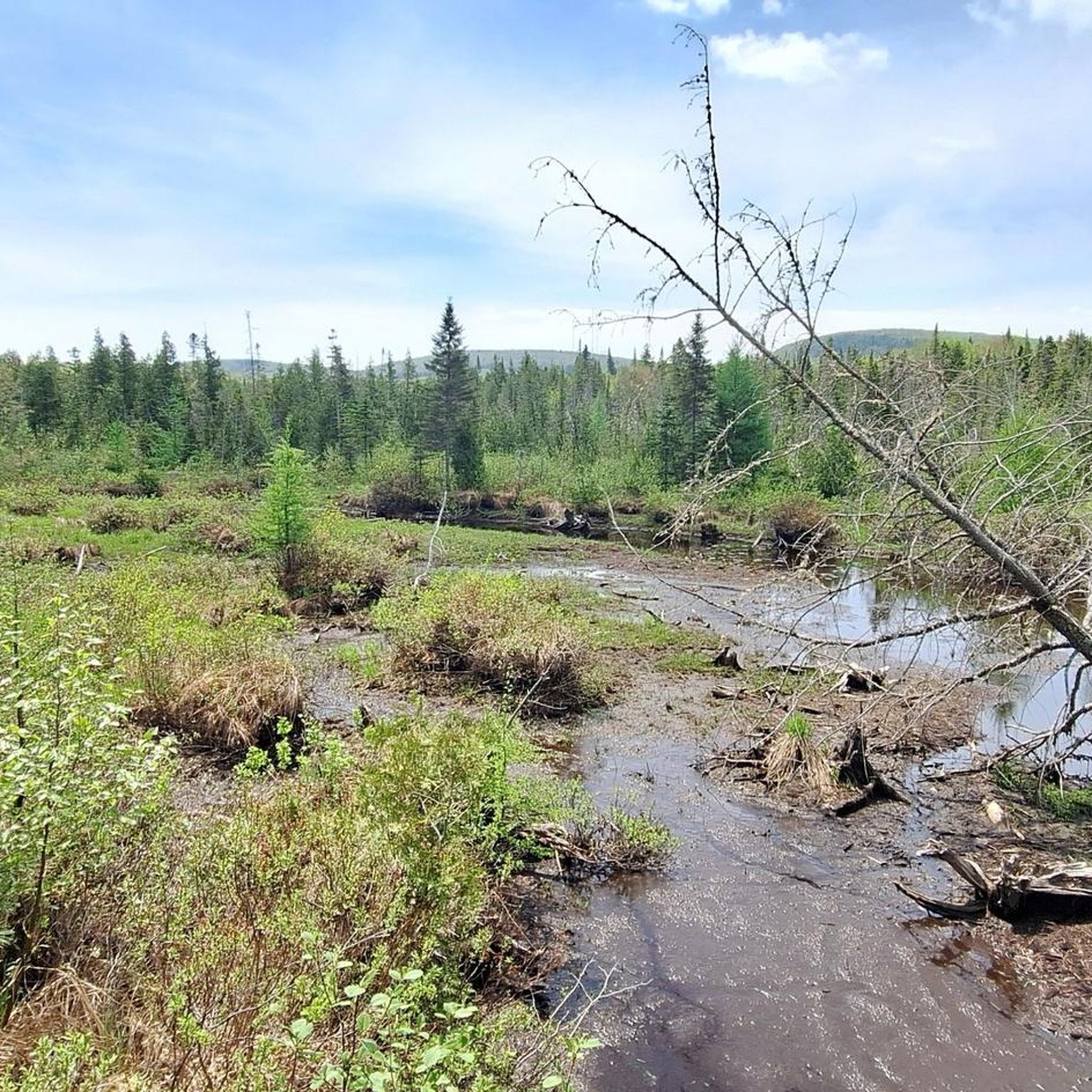
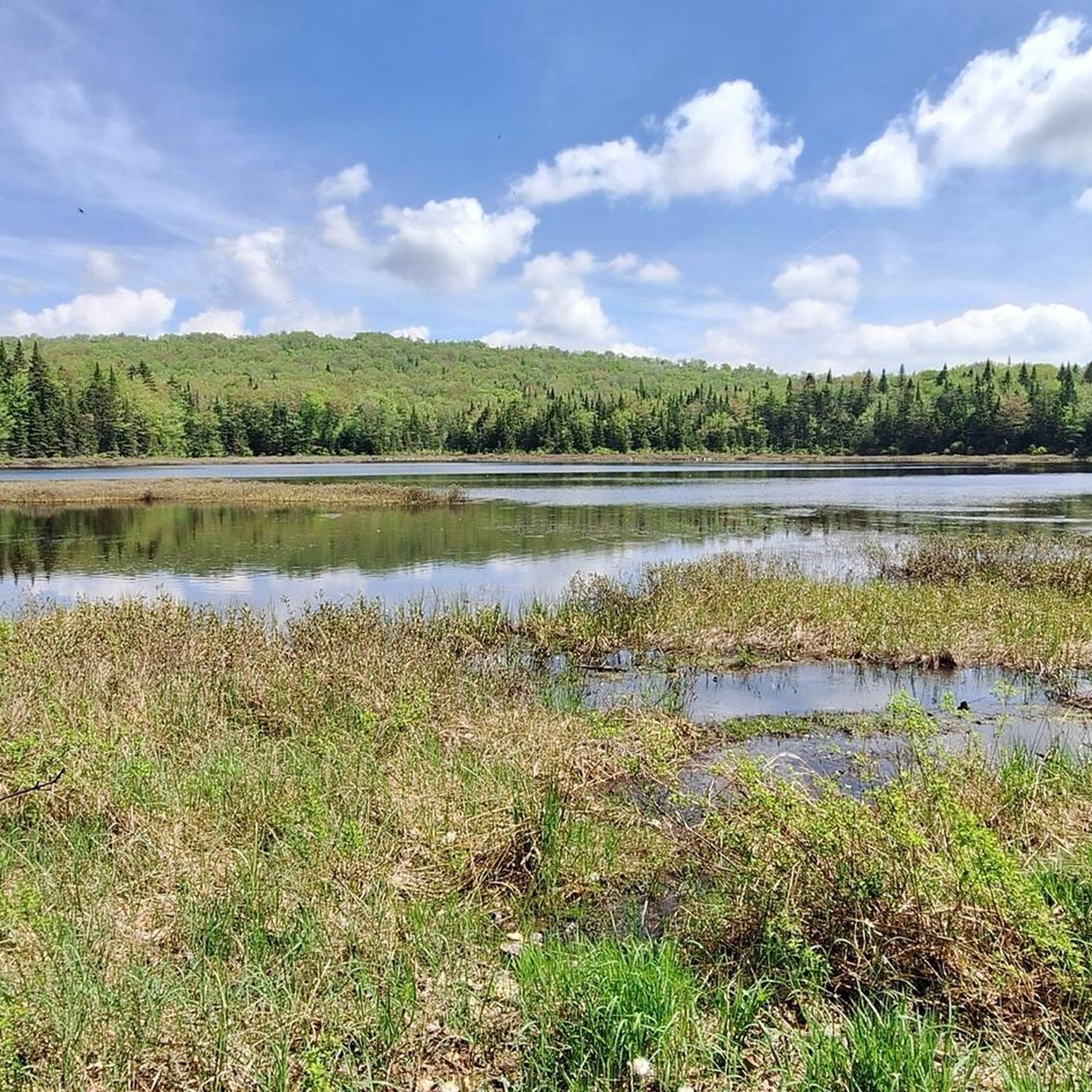
Hiking trails in Parc Naturel Du Mont Bélair are characterized by diverse landscapes, including rocky escarpments and dense woodlands. Mont Bélair, at 485 meters, is one of the highest points in the Quebec City region, offering expansive views. The park features three peaks, three lakes, extensive wetlands, and bogs, providing varied terrain for outdoor activities. These natural features support a rich variety of flora and fauna, enhancing the hiking experience.
Best hiking trails in Parc Naturel Du Mont Bélair
- The most popular hiking route is Belair Ourdoor Center Marsh Trail loop, a 5.1 miles (8.2 km) trail that takes about 2 hours 13 minutes to complete, winding through marshland areas.
- Another top favourite among local hikers is Bi#1 loop from Val-Bélair, an easy 3.4 miles (5.5 km) path. This route leads through forested environments, offering a tranquil experience.
- Local hikers also love the Bi#1 loop from Louis-Saint-Laurent—Akiawenhrahk, a 2.4 miles (3.8 km) trail leading through woodlands and near wetlands, often completed in about 1 hour 3 minutes.
- Hiking in Parc Naturel Du Mont Bélair is defined by rocky escarpments, extensive wetlands, and dense woodlands. The network offers options for easy, moderate, and difficult trails, catering to different ability levels.
- The routes in Parc Naturel Du Mont Bélair are highly rated by the komoot community with an average score of 5.0 stars from 9 reviews. More than 300 hikers have used komoot to explore Parc Naturel Du Mont Bélair's varied terrain.
Last updated: July 1, 2026
5.0
(1)
151
hikers
8.21km
02:13
110m
110m
Moderate hike. Good fitness required. Easily-accessible paths. Suitable for all skill levels.
Hard hike. Very good fitness required. Easily-accessible paths. Suitable for all skill levels.

Sign up for free
8
hikers
5.16km
01:19
20m
20m
Easy hike. Great for any fitness level. Easily-accessible paths. Suitable for all skill levels.
23
hikers
5.64km
01:30
60m
60m
Easy hike. Great for any fitness level. Easily-accessible paths. Suitable for all skill levels.
5.0
(1)
10
hikers
8.43km
02:12
60m
60m
Moderate hike. Good fitness required. Easily-accessible paths. Suitable for all skill levels.
Get access to more routes and recommendations from other explorers.
Sign up for free
Already have an account?
Our route recommendations are based on thousands of hikes, rides, and runs completed by other people on komoot.
Start today with a free account
Your next adventure awaits.
Login or Signup
Popular around Parc Naturel Du Mont Bélair

Tips from the Community

Vélopiste Jacques-Cartier / Portneuf is a 68-kilometre multi-use rail trail built along a former railway corridor, linking Saint-Gabriel-de-Valcartier to Rivière-à-Pierre, passing through forest and along rivers, lakes, and small communities northwest of Québec City. The Shannon to Sainte-Catherine-de-la-Jacques-Cartier section follows one of the trail’s quieter stretches, passing through picturesque wooded landscapes and open views near the Jacques-Cartier River on a gentle, crushed-stone surface that's ideal for cycling and walking. Connected to Québec City via the Corridor des Cheminots, the route combines easy grades with peaceful scenery and access to nearby outdoor recreation, making it one of the region’s most popular long-distance trails.
0
0
Fossambault-sur-le-Lac sits on the southeastern shore of Lac Saint-Joseph, about 30 kilometres northwest of Québec City, known for its lakeside setting, forested surroundings, and long history as a vacation destination. Originally developed as a resort community in the early 1900s, the town grew around summer homes and tourism, with much of its character still shaped by the lake and natural landscape. Today, visitors come for its beaches, boating, and quiet residential streets framed by mature trees, making it a peaceful place to stop along the Vélopiste Jacques-Cartier / Portneuf route. From this spot, it’s a short trek into the small, charming town, or you can take a break here at Fernand Lucchesi Park, nestled right along the trail and Rue Gingras.
0
0
The Great Jacques Cartier Peat Bog is a vast wetland complex covering roughly 6.6 square kilometres across Sainte-Catherine-de-la-Jacques-Cartier, Fossambault-sur-le-Lac, and Shannon, just east of Lac Saint-Joseph. It’s one of the last large peat bogs in the Capitale-Nationale region to remain largely undisturbed. There are wooded areas, open bog pools, marshes, and rare wetland habitats that support diverse plant and wildlife species. The peatland also plays an important ecological role by storing carbon, filtering water, and helping regulate water flow within the surrounding watershed.
0
0
The Jacques-Cartier River Bridge is a former railway bridge near Shannon that crosses high above the Jacques-Cartier River, originally serving the rail line between Québec City and Lac-Saint-Jean. It now carries Vélopiste Jacques-Cartier / Portneuf users across the steep, forested valley, with beautiful views over the river corridor below, and is one of the more recognizable remains of the region’s railway history.
0
0

The trail is well constructed - wooden steps take you up a hill near the riverbank, and as you stroll through the woods you get a nice view of the water. This spot is especially beautiful in autumn when the leaves change.
0
0

Chauveau Park has a nice balance of forest, trails, riverside, and a sports complex. It’s a popular spot for walking, trail running, and cross-country skiing in winter. Trails are well-marked and easy to follow. Here, on the northern end of the park, there is parking and restrooms, a great spot to start exploring.
1
0
Parc du Passant is a small community park with plenty of green space, well-maintained pathways, and convenient access points to the river corridor, linking to longer walking trails. This park offers a peaceful, open atmosphere and is a nice contrast to the wooded sections along the river.
0
0
Rivière Lorette is a tributary of the Saint-Charles River, flowing through the Quebec City region, including L'Ancienne-Lorette. This charming river traverses a blend of urban and natural landscapes, bordered by forests, parks, and residential neighbourhoods. Its gentle current and modest size play a significant role in shaping the nearby green spaces and local trail systems.
0
0
Frequently Asked Questions
How many hiking trails are available in Parc Naturel Du Mont Bélair?
Parc Naturel Du Mont Bélair offers a network of 8 hiking trails, catering to various preferences. These include 3 easy routes, 4 moderate routes, and 1 difficult trail, ensuring options for different skill levels.
Are there hiking trails suitable for beginners or families with children?
Yes, the park features several easy trails perfect for beginners and families. For instance, the Bi#1 loop from Louis-Saint-Laurent—Akiawenhrahk is an easy 3.8 km path leading through woodlands and near wetlands, often completed in about an hour. Another good option is the Bi#1 loop from Val-Bélair, an easy 5.5 km route through forested environments.
What kind of terrain can I expect on the trails in Parc Naturel Du Mont Bélair?
The park's trails are characterized by diverse terrain, including rocky escarpments, dense woodlands, and extensive wetlands. You'll find paths winding around lakes like Lac Boivin, through marshland areas, and some even feature unique sidewalks on stilts. Mont Bélair itself, at 485 meters, offers panoramic views from its summit area.
Are there any trails with good viewpoints in Parc Naturel Du Mont Bélair?
Absolutely. Mont Bélair is one of the highest points in the Quebec City region, and its rocky escarpments provide breathtaking panoramic views of the Laurentians. The park also features an observation tower that offers an excellent vantage point to view the marshland and surrounding natural features.
What are the best times of year to go hiking in Parc Naturel Du Mont Bélair?
Parc Naturel Du Mont Bélair is enjoyable year-round. In summer, the summit area around Lac Alain offers great hiking. The diverse landscapes, including wetlands and woodlands, are beautiful in spring and autumn. Winter also provides opportunities for snowshoeing and cross-country skiing on designated trails, with a heated refuge available for warmth.
Can I bring my dog on the hiking trails?
The region research does not explicitly state the park's policy on dogs. It is generally recommended to check the official Parc Naturel Du Mont Bélair website or contact the park administration directly for the most up-to-date rules regarding pets on trails.
Are there any circular hiking routes in the park?
Yes, many trails in Parc Naturel Du Mont Bélair are designed as loops. For example, the Belair Ourdoor Center Marsh Trail loop is a moderate 8.2 km route that winds through marshland areas. Another option is the Hiking loop from Urban agglomeration of Québec, a moderate 10.2 km trail.
What kind of wildlife can I expect to see while hiking?
The park's diverse ecosystems, including dense woodlands, wetlands, bogs, and marshes, support a rich variety of flora and fauna. Hikers often have opportunities for wildlife observation, encountering various large mammals and birds that inhabit these natural environments.
What facilities are available at the park's main entry point?
The Base de plein air La Découverte serves as the main entry point to Parc Naturel Du Mont Bélair. It offers various services and recreational amenities, including a pool, a paddling pool, and sports fields. During winter, a heated refuge provides a warm place to rest with views of Lac Alain.
Is there parking available for hikers?
While the guide data does not specify exact parking locations, the Base de plein air La Découverte, as the main entry point, typically provides parking facilities for visitors accessing the park's trails and amenities.
What do other hikers enjoy most about Parc Naturel Du Mont Bélair?
The area is highly rated by the komoot community, with an average score of 5.0 stars from 9 reviews. Hikers often praise the diverse landscapes, including the rocky escarpments with panoramic views, the tranquil forested environments, and the unique wetland trails with sidewalks on stilts.
Most popular routes in Parc Naturel Du Mont Bélair

Get inspired with the komoot mobile app


Explore more
Browse the best Hikes in other regions.
