The best road cycling routes in Laurel Creek Conservation Area
4.3
(26)
632
riders
66
rides
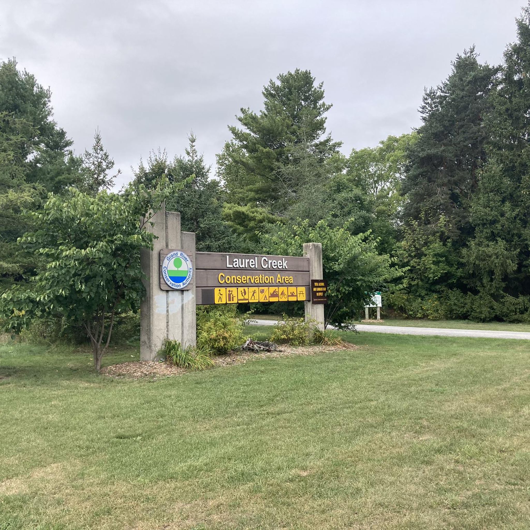
Road cycling routes in Laurel Creek Conservation Area offer a diverse environment for outdoor activities. This 294-hectare area in northwest Waterloo features a mix of natural landscapes, including mature hardwood and pine forests, and the central Laurel Creek Reservoir. The conservation area's internal roads provide dedicated cycling space, connecting to an extensive network of regional paved trails like the Waterloo trails and the Walter Bean Grand River Trail. These routes feature varied terrain with some elevation gains, suitable for different…
Last updated: August 28, 2026
8
riders
Easy road ride. Great for any fitness level. Mostly well-paved surfaces and easy to ride.
4
riders
30.1km
01:16
120m
120m
Easy road ride. Great for any fitness level. Mostly well-paved surfaces and easy to ride.

Sign up for free
5
riders
15.3km
00:47
50m
50m
Moderate road ride. Great for any fitness level. Some segments of this route may be unpaved and difficult to ride.
5.0
(1)
19
riders
39.0km
01:50
260m
260m
Moderate road ride. Great for any fitness level. Some segments of this route may be unpaved and difficult to ride.
4
riders
34.6km
01:27
220m
220m
Easy road ride. Great for any fitness level. Mostly well-paved surfaces and easy to ride.
Get access to more routes and recommendations from other explorers.
Sign up for free
Already have an account?
Our route recommendations are based on thousands of hikes, rides, and runs completed by other people on komoot.
Start today with a free account
Your next adventure awaits.
Login or Signup
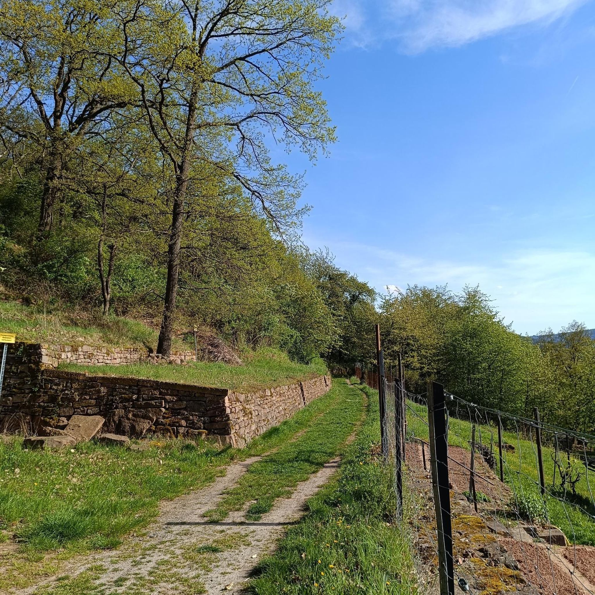


Tips from the Community

A multi-use and partially paved trail that's part of over 150 km (93 mi) of trails within the Waterloo area. Always be mindful of other users.
0
0

This is the north end of RIM Park and the end of the Walter Bean Grand River Trail section, but there’s no parking available here. If you’re planning to walk this route, you’ll need to park at the main RIM Park parking area that is located on Park Road. It’s a common point of confusion, so it’s worth planning ahead.
0
0
Running alongside the trail, the Grand River is the main backdrop for this entire section. For much of the route, you’re walking right beside the water, with open views in some areas and more filtered glimpses through trees in others. The river moves steadily here, and you’ll often see birds along the banks or on the water. It’s part of a much larger river system that flows south across the region toward Lake Erie, adding a quiet sense of scale to an otherwise easy, local walk.
0
0
This section of the Walter Bean Grand River Trail follows a wide, easy path alongside the Grand River, making it more of a relaxed walk or run than a traditional hike. The trail is mostly flat, with a mix of paved and gravel surfaces, and stays close to the water for much of the route. You’ll move between open parkland and shaded sections through trees, with occasional views of the river. It’s part of a much longer trail system that runs through the region, but this stretch is especially accessible and easy to follow.
0
0
Often called the “jewel of the city,” Waterloo Park blends natural trails, open lawns and multi-use pathways with an impressive mix of facilities for all ages and interests. The park features three paved trail systems (including the Iron Horse and Trans-Canada trails) for walkers, runners and cyclists. The park also features sports fields, a skate park, and a summer splash pad. Families and nature lovers can explore Silver Lake’s boardwalk, Victorian-style gardens, picnic shelters, and the city’s oldest log schoolhouse tucked into the green space.Whether you’re here for a short neighbourhood walk, a scenic bike ride, an energetic skate session or a relaxed picnic by the lake, Waterloo Park delivers something for everyone in a lush, urban-forest setting.
0
0
Tucked within the heart of Waterloo Park, Silver Lake invites you to slow down and linger by the water’s edge. With its wide boardwalk circling the shore, display fountains, and gently sloping lawn that meets the lake, it’s a tranquil setting for a walk, bike ride or a lakeside break.
0
0

This well loved local cafe and bakery is a welcome stop on any walk or run. It's known for it's wood fired baked goods, great coffee, and self serve honor system of payment. You might stumble on it on your first visit, but every time after that you will purposely seek it out!
0
0
Columbia Forest is a wonderful area in Waterloo that allows visitors to escape the city without needing to travel far. The many trails are popular with hikers and bikers so keep an eye out for other trail users.
0
0
Frequently Asked Questions
How many road cycling routes are available in Laurel Creek Conservation Area?
There are over 70 road cycling routes available in Laurel Creek Conservation Area, catering to various skill levels. This includes 20 easy routes and 51 moderate routes, ensuring options for both casual riders and those seeking more challenging distances.
What kind of terrain can I expect on road cycling routes in Laurel Creek Conservation Area?
The routes in Laurel Creek Conservation Area feature varied terrain, including internal paved roads and multi-use trails that wind through mature hardwoods, coniferous plantations, and tall grass meadows. While many surfaces are paved, some segments may be unpaved, adding variety to your ride. You can expect some elevation gains, particularly on moderate routes like the Columbia Forest – Forest Path loop from University of Waterloo.
Are there any family-friendly road cycling options in Laurel Creek Conservation Area?
Yes, Laurel Creek Conservation Area offers several easy road cycling routes suitable for families. The internal roads provide dedicated space for riding, and many multi-use trails are accessible. An excellent option for a shorter, easy ride is the Waterloo Park – City Cafe Bakery loop from Laurel Creek Conservation Area, which is 10.5 miles (16.9 km) long and connects to urban park amenities.
What natural features or landmarks can I see along the road cycling routes?
As you cycle through Laurel Creek Conservation Area, you'll encounter diverse natural beauty, including mature hardwood and pine forests, and tall grass meadows. The central feature is the Laurel Creek Reservoir, offering scenic views. Routes like the Memorial Boulder – Waterloo Park loop from Waterloo also pass by notable landmarks and urban park scenery.
What do other road cyclists enjoy most about cycling in Laurel Creek Conservation Area?
The area is highly rated by the komoot community, with an average score of 4.3 stars from over 25 reviews. Cyclists often praise the diverse environment, the mix of natural landscapes, and the convenience of connecting to broader regional trail networks like the Walter Bean Grand River Trail. The variety of routes, from easy loops to moderate distances, is also frequently highlighted.
Are there specific rules or permits required for road cycling in Laurel Creek Conservation Area?
While specific permits for cycling are not typically required, Laurel Creek Conservation Area is managed by the Grand River Conservation Authority and may have day-use fees for entry and parking. It's always advisable to check their official website for current regulations, operating hours, and any applicable fees. Cyclists should also wear helmets and obey general road rules for safety.
What are the parking options for road cyclists visiting Laurel Creek Conservation Area?
Laurel Creek Conservation Area is minutes from Waterloo and Kitchener, making it easily accessible. There are designated parking areas within the conservation area itself. Keep in mind that day-use fees may apply for vehicle entry and parking, so it's best to confirm current rates before your visit.
Can I use public transport to reach Laurel Creek Conservation Area for cycling?
Yes, Laurel Creek Conservation Area is located in Waterloo, Ontario, and is generally accessible via public transport options that serve the Waterloo and Kitchener areas. You would need to check local transit schedules and routes to find the most convenient connection to the conservation area's entrances.
Are there any cafes or rest stops conveniently located near the cycling routes?
While the conservation area itself is primarily natural, its proximity to Waterloo and Kitchener means there are numerous cafes, restaurants, and amenities just a short ride away. Routes like the Waterloo Park – City Cafe Bakery loop from Laurel Creek Conservation Area specifically connect to urban amenities, including cafes, for convenient rest stops.
What is the best time of year to go road cycling in Laurel Creek Conservation Area?
Laurel Creek Conservation Area offers picturesque scenery throughout the seasons. Spring and fall provide pleasant temperatures and vibrant foliage, making them ideal for cycling. Summer is also popular, though it can be warmer. In winter, the area transforms for cross-country skiing and snowshoeing, so road cycling is best enjoyed during the warmer months when trails are clear of snow and ice.
Are there any longer, moderate road cycling routes for experienced riders?
Yes, for more experienced riders seeking longer distances and moderate challenges, routes like the Columbia Forest – Forest Path loop from University of Waterloo offer a 24.2-mile (39.0 km) ride with significant elevation gains. Another option is the Country Crossroads loop from Columbia Forest, which covers 34.5 km with moderate elevation.
Most popular routes in Laurel Creek Conservation Area

Get inspired with the komoot mobile app


Explore more
Browse the best Road cycling routes in other regions.
