The best road cycling routes around Hollenthon
4.6
(74)
2,137
riders
168
rides
Road cycling routes around Hollenthon traverse the hilly landscape of the Bucklige Welt region, offering varied terrain for cyclists. The area features low-traffic side roads, making it suitable for road cycling. Routes include elevation gains ranging from under 1,000 feet to over 3,000 feet, catering to different fitness levels. The region is characterized by rolling hills and mostly well-paved surfaces.
Best road cycling routes around Hollenthon
- The most popular road cycling route is Kobersdorf Castle – Serpentines to Schwarzenbach loop…
Last updated: July 5, 2026
5.0
(1)
37
riders
45.0km
02:15
720m
720m
Moderate road ride. Good fitness required. Mostly well-paved surfaces and easy to ride.
3.0
(1)
20
riders
29.4km
01:38
440m
440m
Moderate road ride. Good fitness required. Mostly well-paved surfaces and easy to ride.

Sign up for free
20
riders
40.0km
02:07
660m
660m
Moderate road ride. Good fitness required. Mostly well-paved surfaces and easy to ride.
13
riders
53.9km
02:51
910m
910m
Hard road ride. Very good fitness required. Mostly well-paved surfaces and easy to ride.
5
riders
35.5km
02:03
800m
800m
Moderate road ride. Good fitness required. Mostly well-paved surfaces and easy to ride.
Get access to more routes and recommendations from other explorers.
Sign up for free
Already have an account?
Our route recommendations are based on thousands of hikes, rides, and runs completed by other people on komoot.
Start today with a free account
Your next adventure awaits.
Login or Signup
Tips from the Community

Documented as early as the 13th century, it experienced turbulent times as a Hungarian border fortress before being expanded to its characteristic form in the 16th and 17th centuries: Striking round towers with mighty conical roofs define its exterior today. In addition to the well-known festivals, the castle is also a venue for concerts, exhibitions, and seminars. Parts of the castle, along with the garden, can be rented for conferences, celebrations, and weddings. Guided tours are also possible by appointment.
0
0
The present-day parish area initially belonged to the parish of Bromberg, from 1200 to Edlitz, and from 1250 to Krumbach, before becoming its own parish around 1320. However, as early as around 1120, the first church building in the Romanesque style was erected on the present site. The structure also served as the first part of a three-part defensive system, which consisted of the fortified house (the present-day rectory), an upstream farmstead to the north, and a rampart system. In 1320, additions were made (chancel and choir chapel, today the sacristy) in the early Gothic style. In the 15th century, the defensive capabilities of the church were further enhanced by the construction of a defensive wall around the cemetery surrounding the church, and a "Pechnase" (a defensive projection). Furthermore, a defensive storey was built above the nave, possibly with large parts of the nave itself being rebuilt. A well is also located inside the church.
0
0
We booked a Day Spa at Linsberg Asia Therme for €120 per person – and, in our opinion, the value for money is absolutely not justified.
0
0

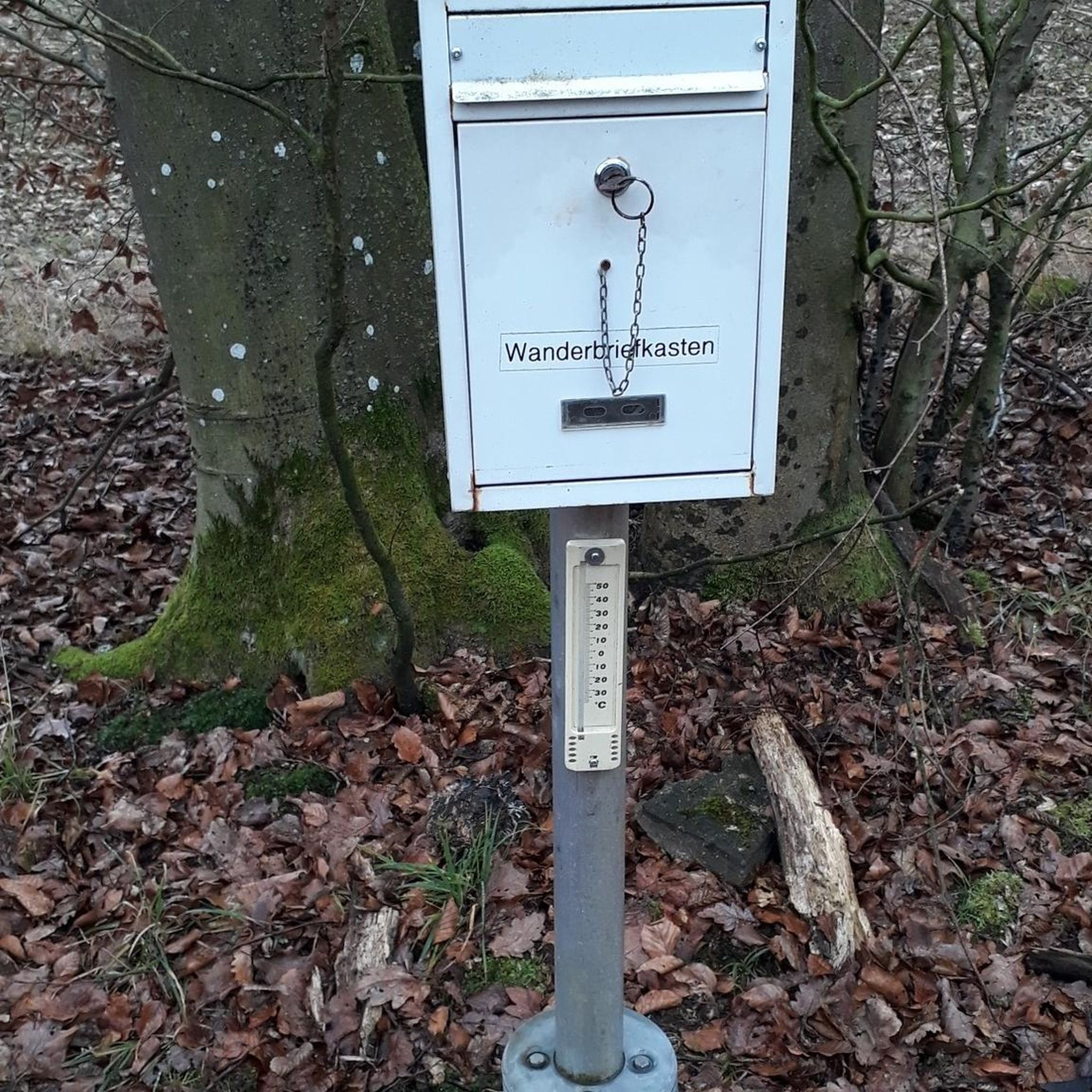
Convenient if you want to buy small snacks in the area on a Sunday... drinks, sweets, not much else.
0
0

Unfortunately, the fountain now says "No drinking water"
0
0
The museum is open from May 1st until the end of October, but an Easter market is held on site every year.
1
0

Nice little train station in Pitten.
1
0
Nice little train station in Pitten. I always use it when I'm with the Salvatorians in Pitten.
1
0
Frequently Asked Questions
How many road cycling routes are available around Hollenthon?
There are over 170 road cycling routes around Hollenthon, offering a wide variety of options for different fitness levels and preferences. These routes traverse the scenic, hilly landscape of the Bucklige Welt region.
What kind of terrain can I expect when road cycling in Hollenthon?
Road cycling in Hollenthon features the characteristic hilly landscape of the Bucklige Welt region. You can expect varied terrain with rolling hills and elevation gains ranging from under 1,000 feet to over 3,000 feet. Many routes utilize low-traffic side roads and are generally well-paved, though some segments on longer routes might be unpaved.
Are there road cycling routes suitable for beginners in Hollenthon?
Yes, Hollenthon offers 16 easy road cycling routes, perfect for beginners or those looking for a more relaxed ride. These routes typically have less significant elevation changes, allowing for an enjoyable experience through the region's beautiful scenery.
Are there challenging road cycling routes in Hollenthon?
For experienced cyclists seeking a challenge, Hollenthon has 62 difficult road cycling routes. These routes often feature substantial climbs and significant elevation gains, some exceeding 3,000 feet, providing a demanding yet rewarding experience through the Bucklige Welt.
What landmarks or viewpoints can I see along road cycling routes in Hollenthon?
Many road cycling routes in Hollenthon pass by interesting landmarks and offer scenic viewpoints. You might cycle past historical sites like Kobersdorf Castle or the Türkensturz Ruins. Other routes feature modern landmarks such as the Lichtenegg wind turbine, or offer panoramic views from points like the Summit cross and viewpoint near Türkensturz.
Are there any circular road cycling routes in Hollenthon?
Yes, many road cycling routes in Hollenthon are designed as loops, allowing you to start and end your ride in the same location. An example is the challenging Pilgrimage Church of St. Anna – Linsberg Asia Spa loop from Hollenthon, which offers a substantial ride through the region's varied landscape.
What do other road cyclists enjoy most about road cycling in Hollenthon?
The road cycling routes around Hollenthon are highly rated by the komoot community, with an average score of 4.6 stars from over 60 reviews. Cyclists often praise the varied terrain, the low-traffic side roads, and the beautiful, hilly landscapes of the Bucklige Welt that make for an engaging and scenic ride.
Can I find routes that include specific attractions like castles?
Absolutely. Some routes are designed to incorporate local attractions. For instance, the Kobersdorf Castle – Serpentines to Schwarzenbach loop from Hollenthon takes you past the historic Kobersdorf Castle, combining cycling with cultural exploration.
Are there road cycling routes that are less crowded?
The Hollenthon area is known for its network of low-traffic side roads, which generally means a more peaceful cycling experience. While specific routes vary in popularity, the region's overall characteristic of quiet roads makes it ideal for those seeking a less crowded ride.
What is a good moderate road cycling route in the area?
A great moderate option is the Tiefenbach Rest Area – Parish Church of Bad Schönau loop from Stang. This route offers a scenic ride through the region's characteristic hilly terrain, providing a balanced challenge for cyclists with good fitness.
Are there any road cycling routes that offer a mix of paved and unpaved sections?
While most routes in Hollenthon feature mostly well-paved surfaces, some longer or more challenging routes may include short unpaved segments. These sections can add an element of adventure, particularly on routes with higher elevation gains, so it's always good to check route details if you prefer entirely paved surfaces.
Where can I find a longer road cycling route with significant elevation?
For a longer ride with substantial climbing, consider the Pürahöfen Scenic Road – Switchbacks to Eichberg loop from Lichtenegg. This route covers over 35 km and features significant elevation changes, making it suitable for cyclists looking for a demanding workout.
Is there a specific route that highlights the 'Bucklige Welt' landscape?
The 'Über Lichtenegg und Hollenthon' route, a 65.37 km ride, is an excellent choice to experience the 'Buckl' (hills) of the Bucklige Welt. It leads up to the Lichtenegg wind turbine and back via Hollenthon, showcasing the region's rolling hills and scenic views on low-traffic side roads. You can find more details about this route on lower-austria.info.
Most popular routes around Hollenthon
Most popular attractions around Hollenthon

Get inspired with the komoot mobile app


Explore more
Browse the best Road cycling routes in other regions.
