The best cycling routes around Hohenwarte
4.5
(2019)
9,138
riders
353
rides
Touring cycling around Hohenwarte is characterized by the expansive Hohenwarte reservoir, framed by dense forests and hills. This region, part of the Thuringian Slate Mountains/Upper Saale Nature Park, features a diverse landscape with challenging paths, steep slopes along the Saale river, and impressive rocky viewpoints. The area offers a mix of terrain, from flatter sections along the reservoir to more demanding climbs on pass roads.
Best touring cycling routes around Hohenwarte
- The most popular touring cycling route is Saalfeld – Bohlenwand Bridge loop from Kaulsdorf (Saale), a 16.2 miles (26.0 km) trail that takes 1 hour 44 minutes to complete. This difficult route includes significant elevation gain through varied terrain.
- Another top favourite among local touring cyclists is Eichicht Dam – Hohenwarte Dam loop from Kaulsdorf (Saale), a moderate 16.9 miles (27.1 km) path. This route offers views of both the Eichicht and Hohenwarte dams, traversing the reservoir's scenic surroundings.
- Local touring cyclists also love the View of the Hohenwarte Reservoir – View of the Saaleschleife loop from Hohenwarte, a 13.0 miles (21.0 km) trail leading through hilly terrain with panoramic reservoir views, often completed in about 1 hour 37 minutes.
- Touring cycling around Hohenwarte is defined by its fjord-like reservoir, dense forests, and challenging climbs. The network offers options for different ability levels, from beginner-friendly sections to routes with significant elevation.
- The routes in Hohenwarte are highly rated by the komoot community with an average score of 4.5 stars from more than 2,200 reviews. More than 10,500 touring cyclists have used komoot to explore Hohenwarte's varied terrain.
Last updated: July 9, 2026
4.0
(5)
37
riders
Moderate bike ride. Good fitness required. Mostly paved surfaces. Suitable for all skill levels.
4.6
(5)
24
riders
9.99km
00:39
150m
150m
Easy bike ride. Great for any fitness level. Mostly paved surfaces. Suitable for all skill levels.

Sign up for free
3.8
(4)
25
riders
11.6km
01:06
290m
290m
Moderate bike ride. Good fitness required. Mostly paved surfaces. Suitable for all skill levels.
4.5
(4)
23
riders
24.3km
01:42
440m
440m
Moderate bike ride. Good fitness required. Mostly paved surfaces. Suitable for all skill levels.
5.0
(1)
14
riders
26.6km
02:01
570m
570m
Hard bike ride. Very good fitness required. Mostly paved surfaces. Suitable for all skill levels.
Get access to more routes and recommendations from other explorers.
Sign up for free
Already have an account?
Our route recommendations are based on thousands of hikes, rides, and runs completed by other people on komoot.
Start today with a free account
Your next adventure awaits.
Login or Signup
Popular around Hohenwarte
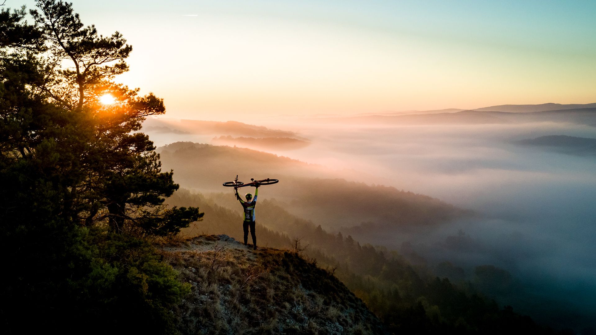
Fast-paced trails and steep summits – outdoors in Thuringia

Long distance hiking trails in the Thuringian Forest
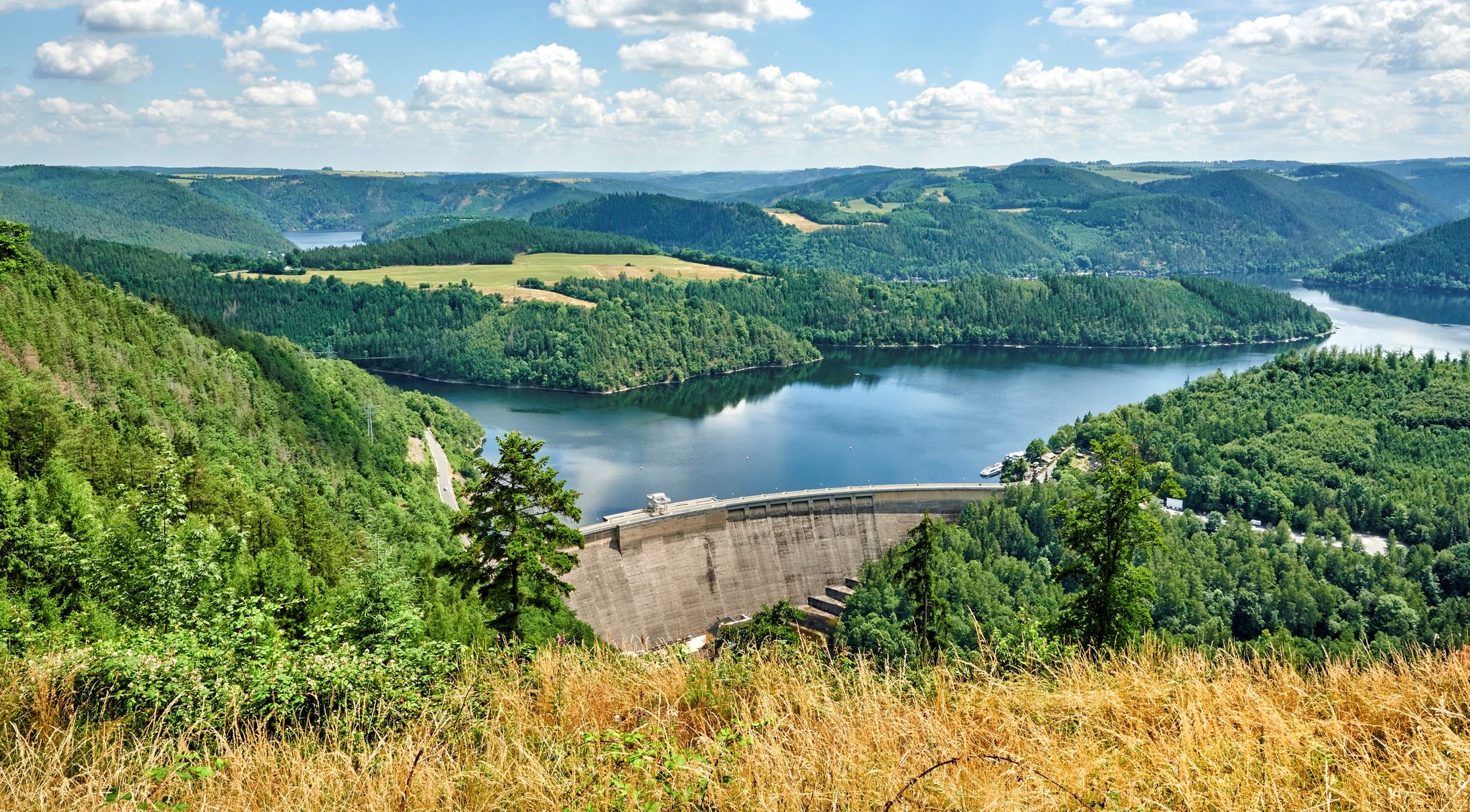
At home in the outdoors – hiking with a view in Thuringia in central Germany
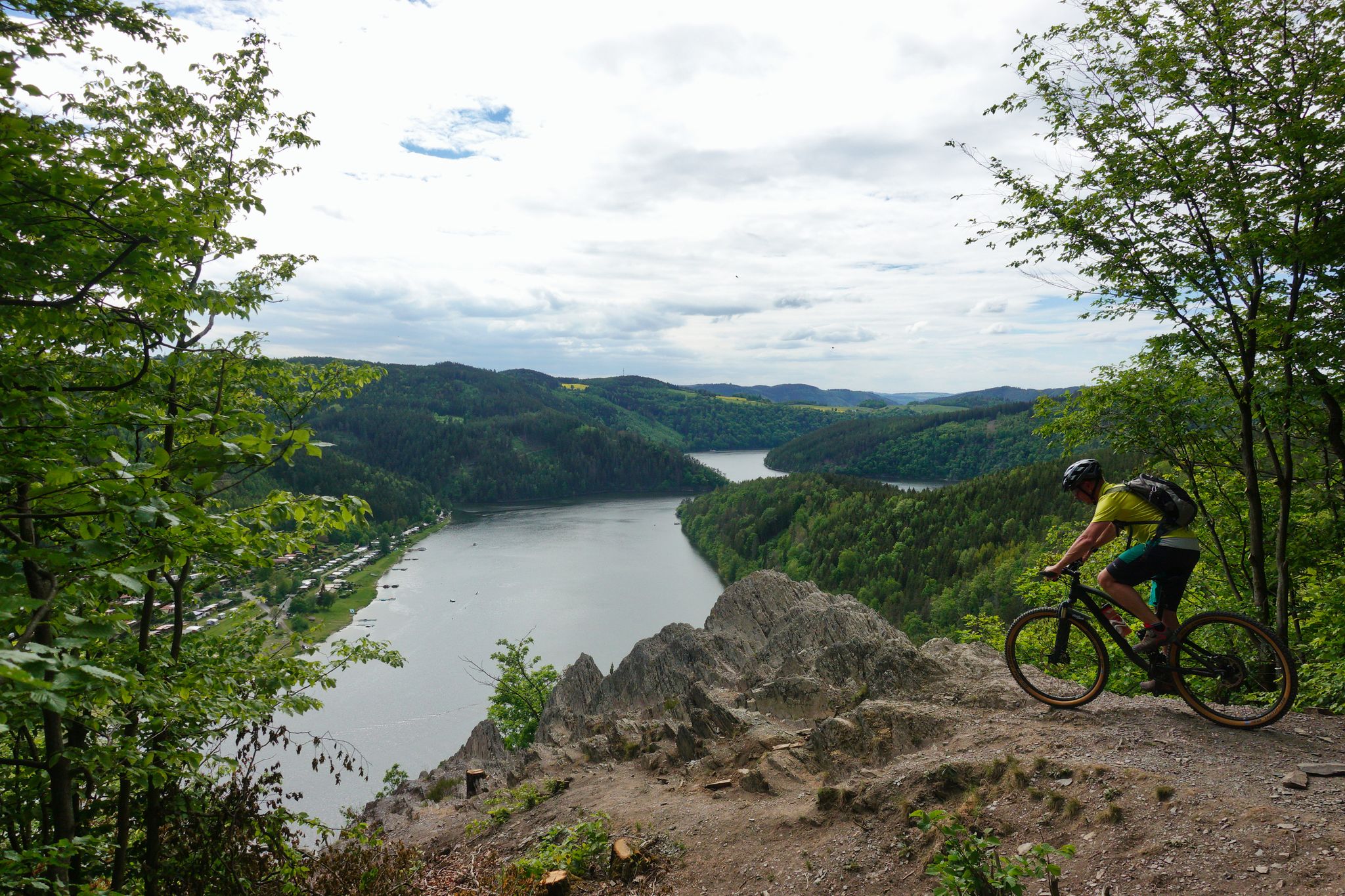
Fantastic panoramas and fast trails – Feen-Bike-Paradies Saalfeld MTB centre
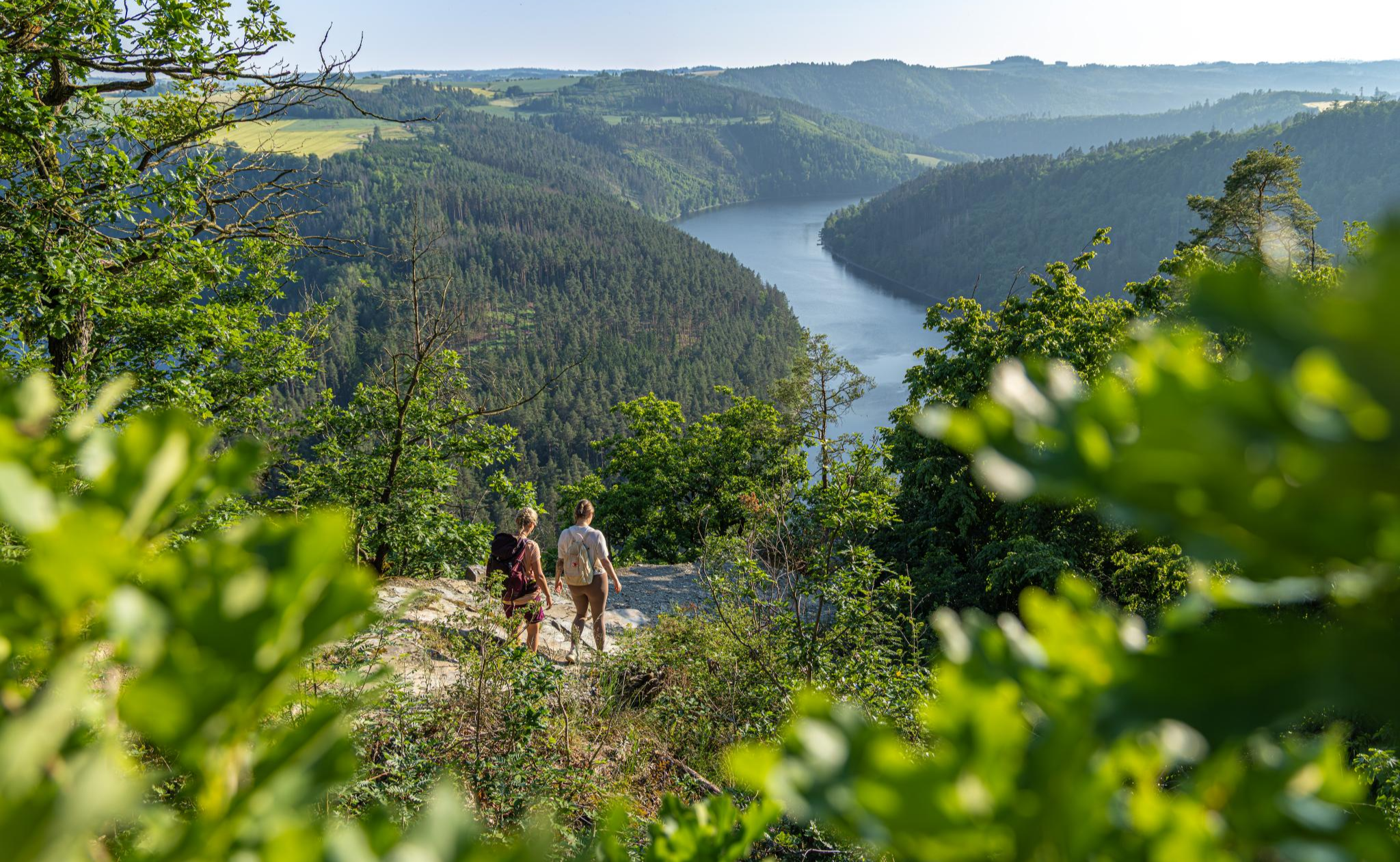
Wandern in Thüringen – unterwegs von A nach WOW
Hiking around Hohenwarte
Road Cycling Routes around Hohenwarte
MTB Trails around Hohenwarte
Running Trails around Hohenwarte

Gravel biking around Hohenwarte
Other adventures around Hohenwarte


Tips from the Community

Also inviting for hikers and cyclists. 😄 👍
1
0
A wonderful view of the Saale River is always there. 😄
1
0
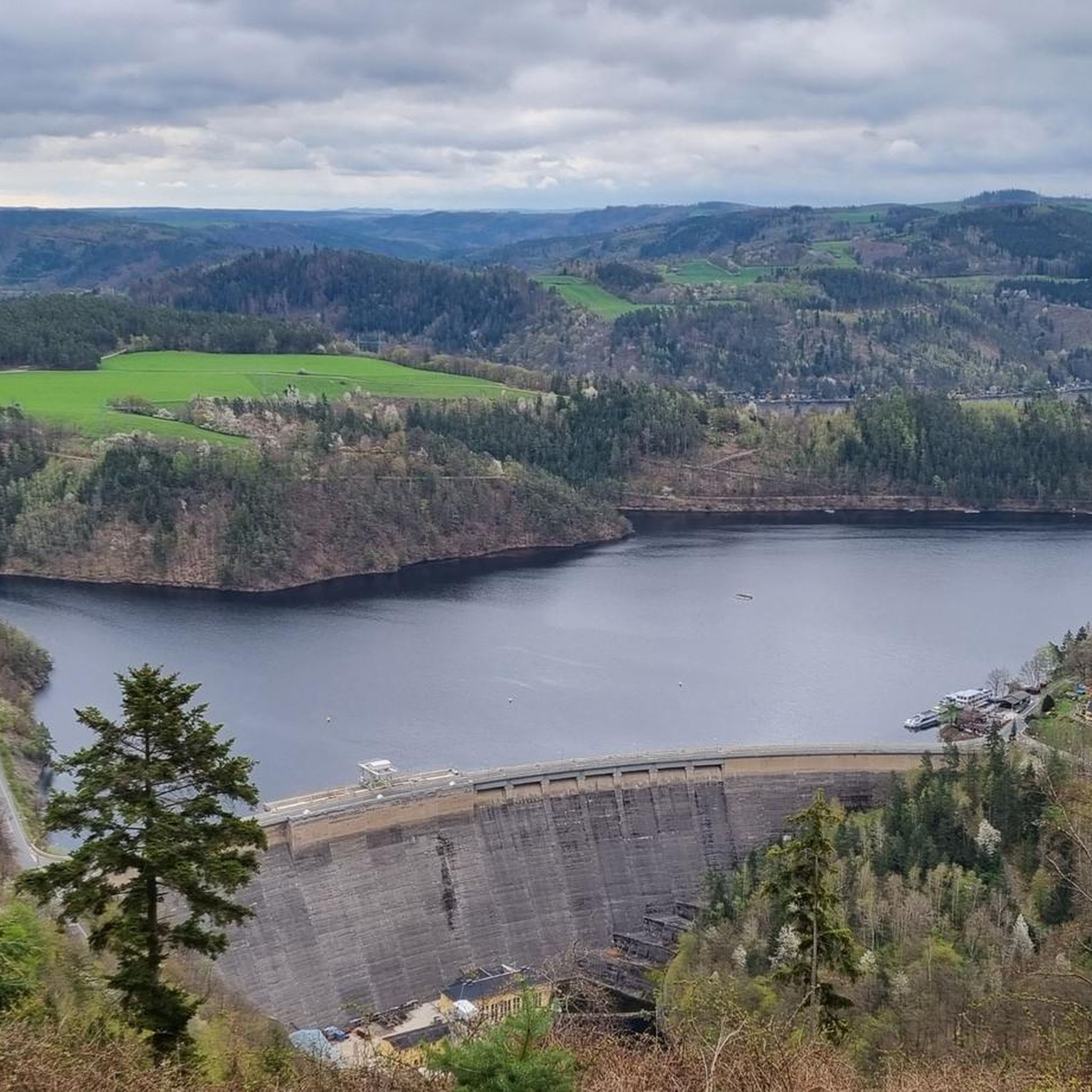
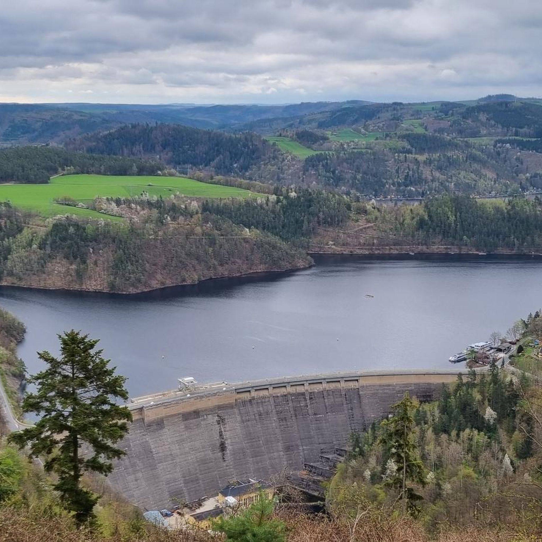
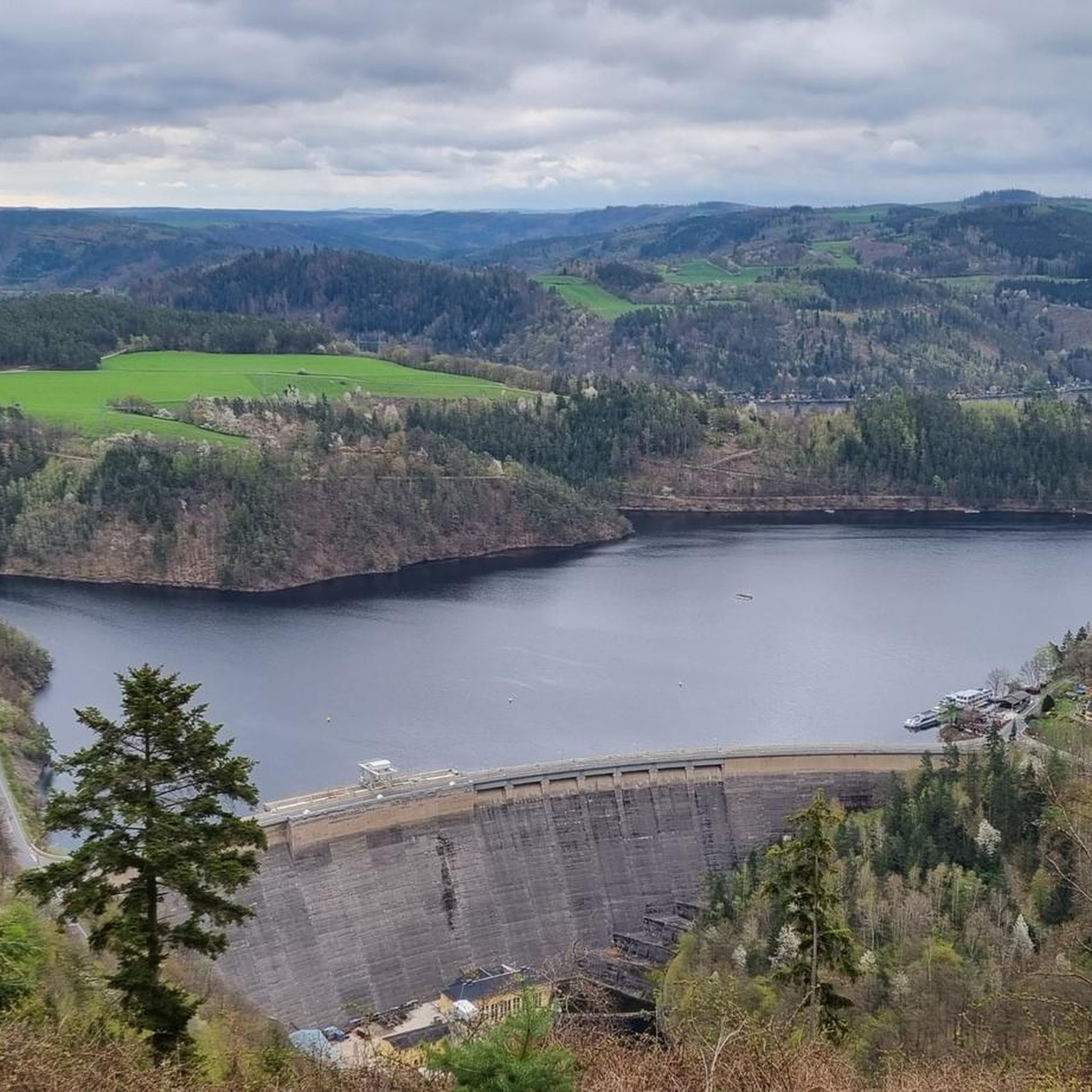
Beautiful view of the Hohenwarte Dam
1
0

Dam with a snack bar. Unfortunately, the cycle path network is largely located on the classified roads, which significantly dampens the enjoyment of cycling due to the congestion.
0
0
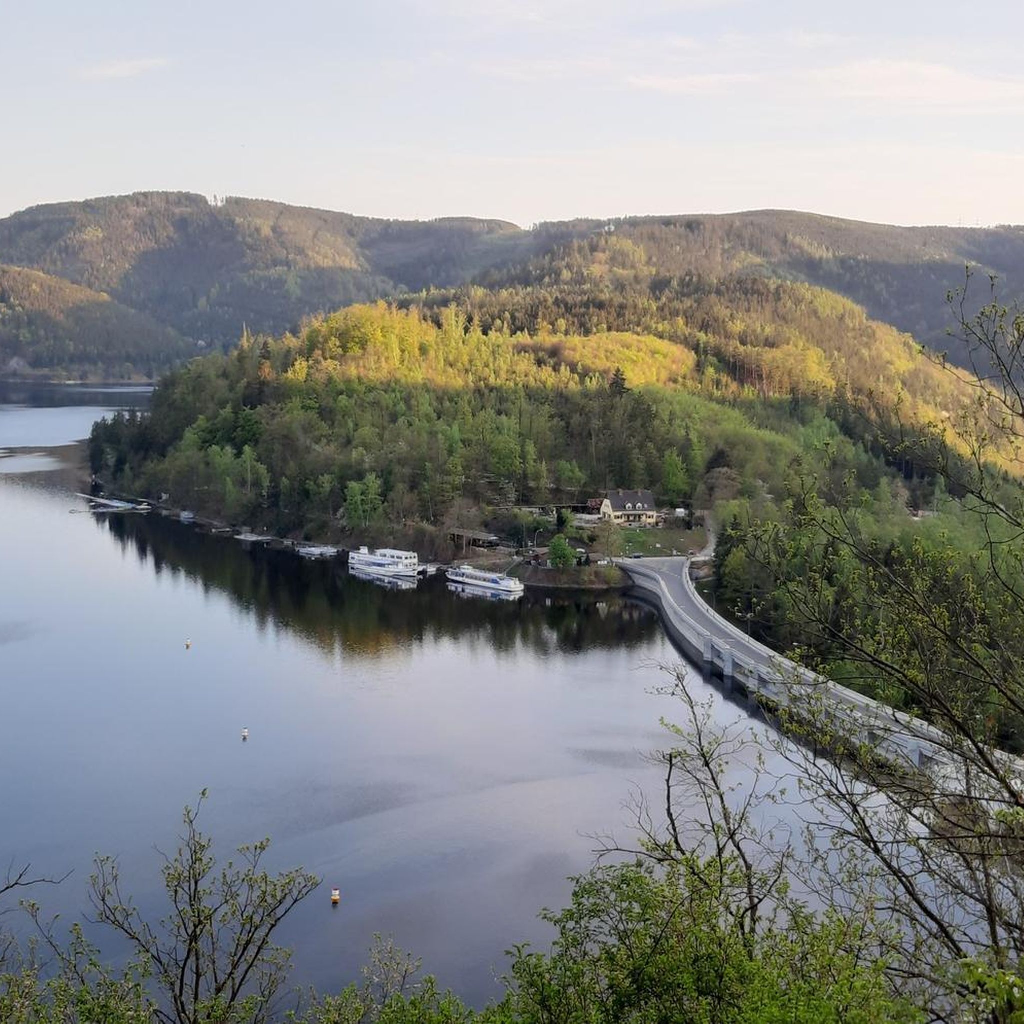
An inviting rest stop not only before and after the boat trip but also for cyclists. 😄
1
0

Please keep the area clean👍🏻
0
0
Please keep the area clean👍🏻
0
0

It is worth eating there, hiking and enjoying pure nature
0
0
Frequently Asked Questions
How many touring cycling routes are available in Hohenwarte?
Hohenwarte offers a wide variety of touring cycling routes, with over 360 options available. These routes cater to all skill levels, from easy rides to challenging climbs, ensuring there's something for every cyclist.
What kind of terrain can I expect on touring cycling routes around Hohenwarte?
The terrain around Hohenwarte is quite diverse. You'll find flatter sections along the reservoir, ideal for beginners, as well as more demanding climbs on pass roads and through hilly, forested areas. The region is characterized by its fjord-like landscape, deep forests, and steep slopes along the Saale river, offering a mix of challenging paths and well-paved roads.
Are there any family-friendly touring cycling routes in Hohenwarte?
Yes, Hohenwarte offers several family-friendly sections, particularly the flatter routes along the reservoir from the dam towards Pößneck. These paths are generally easier and safer for cycling with children, allowing families to enjoy the scenic views without excessive difficulty.
Can I bring my dog on the touring cycling routes in Hohenwarte?
Many of the natural paths and trails in Hohenwarte are suitable for cycling with dogs, provided they are well-behaved and kept on a leash where required. It's always advisable to check specific route regulations and ensure your dog is comfortable with the distance and terrain.
What are some notable landmarks or viewpoints I can see while cycling in Hohenwarte?
While cycling, you can discover several impressive sights. The Hohenwarte Dam itself is a significant landmark. You might also encounter the Ziemestal Viaduct or the ruins of Wysburg Castle. For panoramic views, look out for rocky viewpoints like the Bockfelsen, offering breathtaking vistas over the Saale and surrounding castles.
Are there any circular touring cycling routes around the Hohenwarte reservoir?
Yes, there are several circular routes that allow you to experience the beauty of the Hohenwarte reservoir. For example, the Eichicht Dam – Hohenwarte Dam loop from Kaulsdorf (Saale) offers views of both dams, and the View of the Saaleschleife – View of Hohenwarte Reservoir loop from Hohenwarte provides excellent reservoir panoramas.
What is the best time of year to go touring cycling in Hohenwarte?
The Hohenwarte region is beautiful throughout the warmer months. Spring and autumn offer pleasant temperatures and vibrant scenery, with fewer crowds. Summer is also popular, especially for combining cycling with water sports on the reservoir. Always check local weather conditions before heading out.
Are there places to eat or stay that are friendly to cyclists in Hohenwarte?
The charming villages around Hohenwarte embody traditional Thuringian hospitality and offer various options for refreshments and accommodation. Many establishments cater to outdoor enthusiasts, including cyclists. Look for 'Radfreundlich' or 'Bett+Bike' certified places for cyclist-specific amenities.
What do other touring cyclists say about their experience in Hohenwarte?
The touring cycling routes in Hohenwarte are highly rated by the komoot community, with an average score of 4.5 stars from over 2,200 reviews. Cyclists often praise the diverse landscapes, the serene fjord-like reservoir views, and the mix of challenging and relaxed paths.
Is public transport available to access the cycling routes in Hohenwarte?
While specific public transport options directly to every trailhead may vary, the region has some connectivity. For example, Saalfeld Train Station can serve as a gateway to the wider area, from which you might connect to local buses or cycle to the reservoir. Planning your journey in advance is recommended.
Are there any permits required for cycling on trails in Hohenwarte?
Generally, no special permits are required for touring cycling on designated paths and roads in the Hohenwarte region. However, if you plan to venture into specific protected areas or private lands, it's always wise to check for any local regulations or restrictions that might apply.
Where can I find parking for my car when starting a cycling tour in Hohenwarte?
Parking is typically available in and around the main towns and villages surrounding the Hohenwarte reservoir, as well as near popular starting points for trails and attractions like the Hohenwarte Dam. Look for designated parking areas which are often signposted for visitors.
Most popular attractions around Hohenwarte

Get inspired with the komoot mobile app


Explore more
Browse the best Cycling routes in other regions.
