The best running trails around Hohenwarte
4.3
(163)
1,302
runners
158
runs
Jogging around Hohenwarte offers a diverse landscape characterized by the Hohenwarte Dam reservoir, the Saale River, and surrounding forested hills. The region features varied terrain, including riverside paths and ascents through woodlands. These routes provide opportunities to explore the natural environment, with options ranging from gentle paths to more challenging trails.
Best jogging routes around Hohenwarte
- The most popular jogging route is Gratitude Sign on Tree loop from Goßwitz/Bucha, an 8.7 miles (13.9 km) trail that takes 1 hour…
Last updated: May 12, 2026
4.7
(6)
18
runners
13.9km
01:34
270m
270m
Moderate run. Good fitness required. Mostly paved surfaces. Suitable for all skill levels.
5.0
(3)
12
runners
8.23km
00:58
210m
210m
Moderate run. Good fitness required. Mostly paved surfaces. Suitable for all skill levels.

Sign up for free
7
runners
7.26km
00:48
110m
110m
Moderate run. Good fitness required. Mostly paved surfaces. Suitable for all skill levels.
5.0
(1)
7
runners
Hard run. Very good fitness required. Mostly paved surfaces. Suitable for all skill levels.
9
runners
6.36km
00:41
90m
80m
Moderate run. Good fitness required. Mostly paved surfaces. Suitable for all skill levels.
Get access to more routes and recommendations from other explorers.
Sign up for free
Already have an account?
Our route recommendations are based on thousands of hikes, rides, and runs completed by other people on komoot.
Start today with a free account
Your next adventure awaits.
Login or Signup
Popular around Hohenwarte
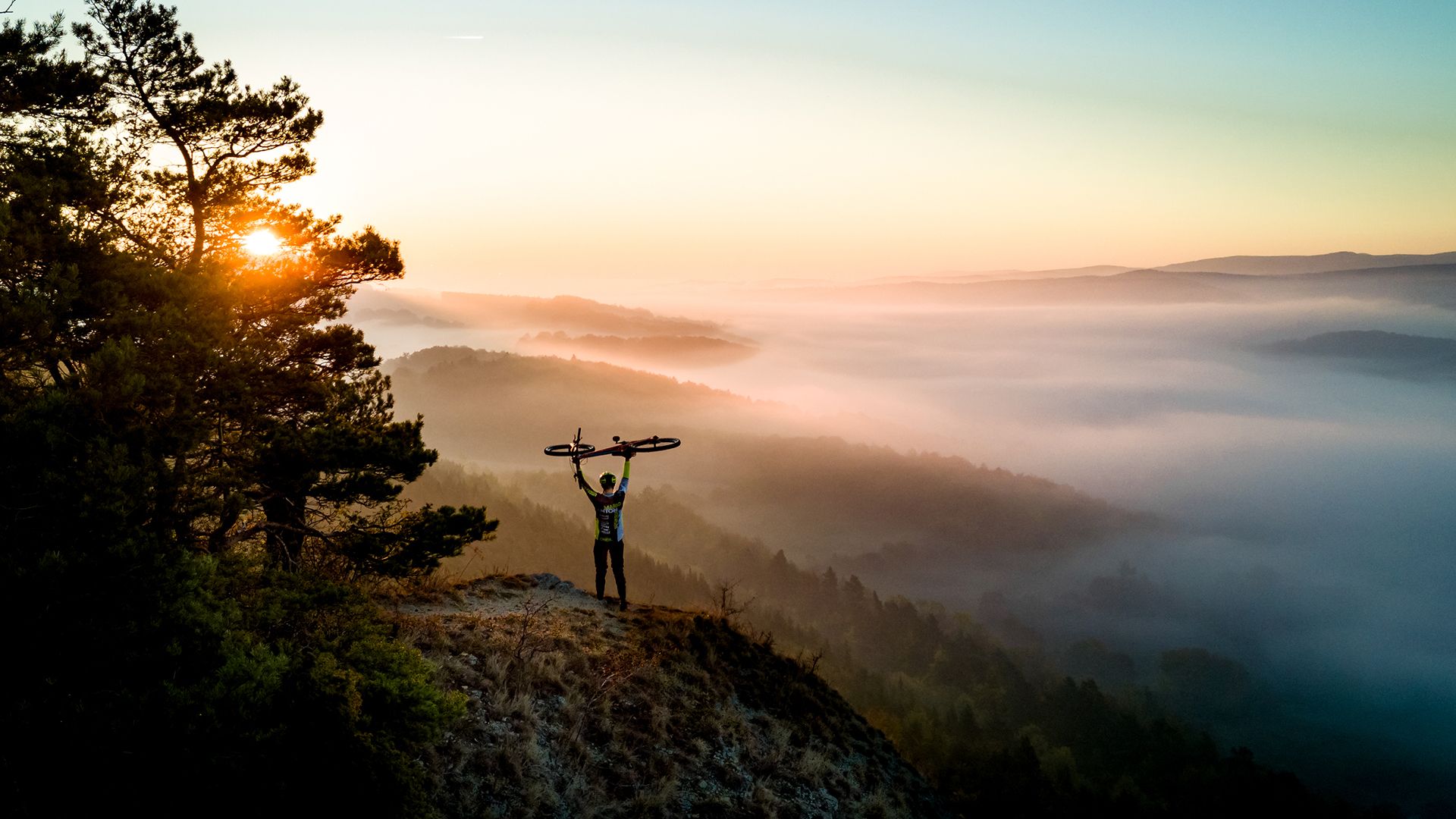
Fast-paced trails and steep summits – outdoors in Thuringia

Long distance hiking trails in the Thuringian Forest
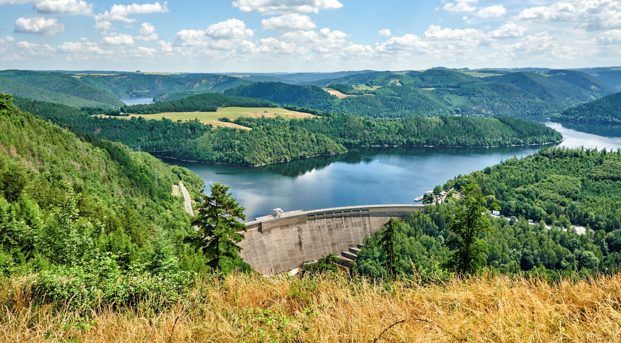
At home in the outdoors – hiking with a view in Thuringia in central Germany
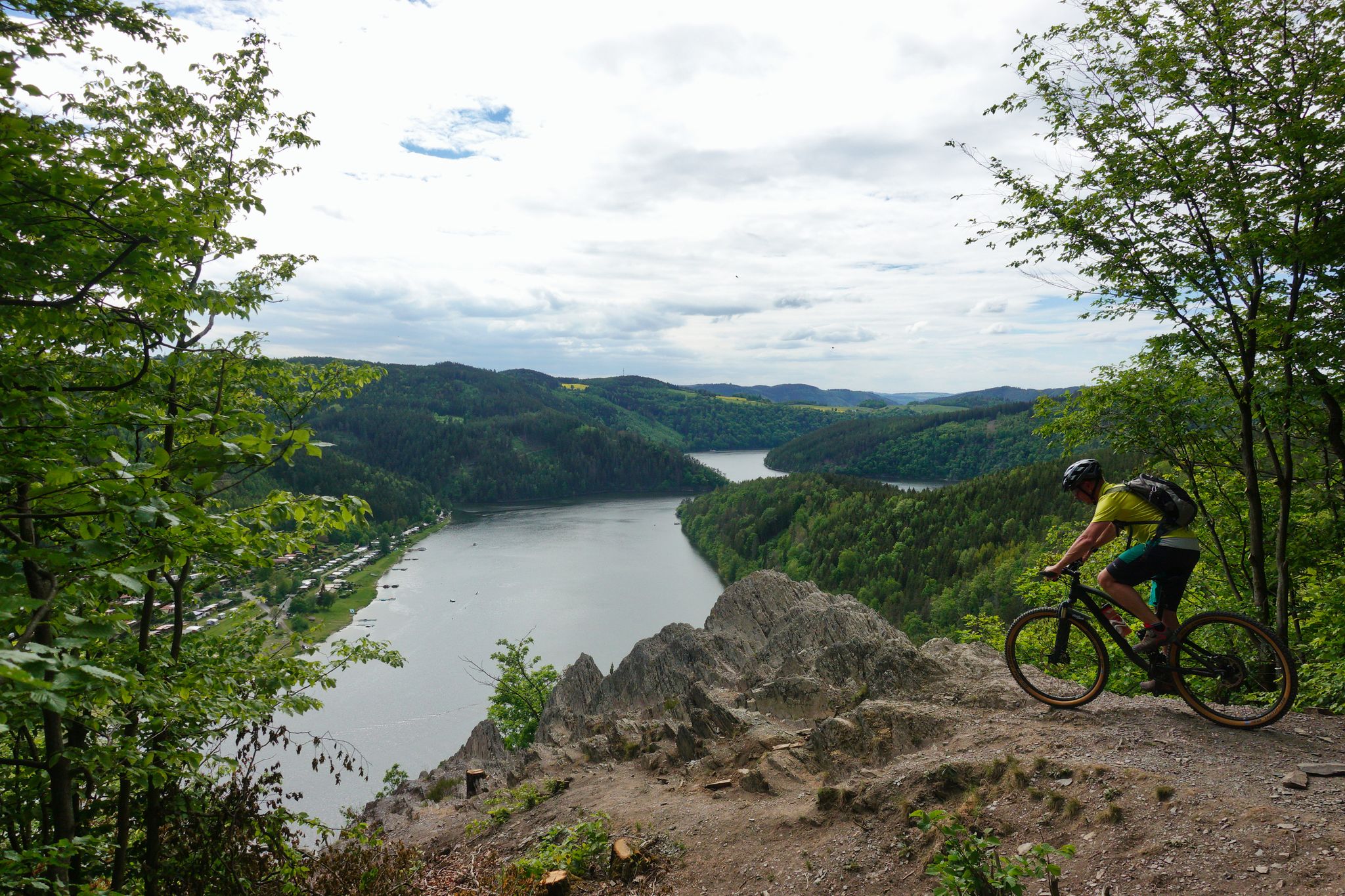
Fantastic panoramas and fast trails – Feen-Bike-Paradies Saalfeld MTB centre
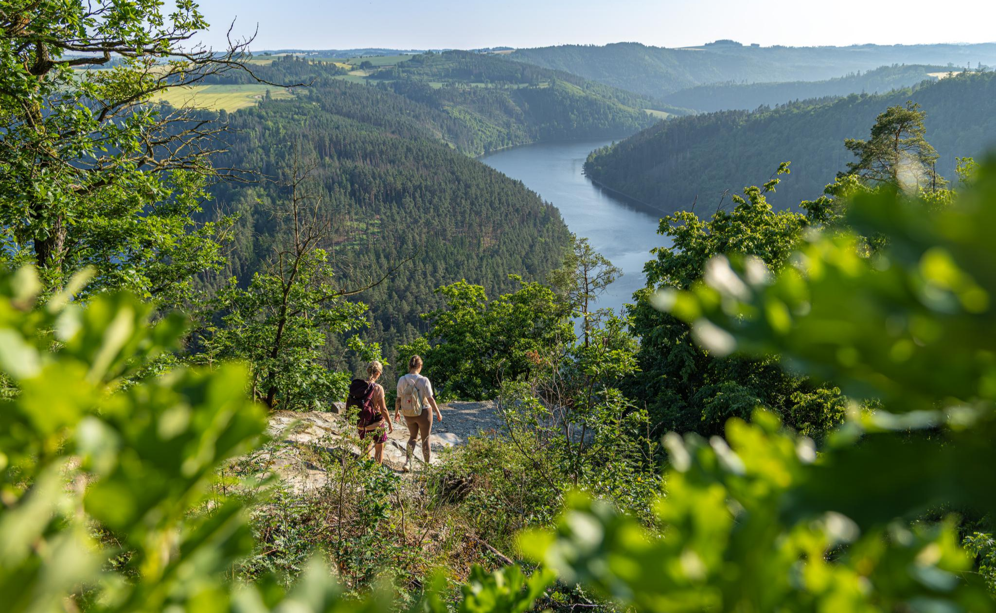
Wandern in Thüringen – unterwegs von A nach WOW
Hiking around Hohenwarte
Cycling around Hohenwarte
Road Cycling Routes around Hohenwarte
MTB Trails around Hohenwarte

Gravel biking around Hohenwarte
Other adventures around Hohenwarte


Tips from the Community

This is a stamp office, Touringen stamp 222!
0
0

At the information board at the Mooshäuschen in the Thuringian Slate Mountains/Upper Saale Nature Park, hikers can learn interesting facts about the region's special features. The Mooshäuschen invites you to linger - and with a bit of luck, you might even spot a dormouse here.
0
0

From here you have an incredibly beautiful view.
11
0
The Mooshäuschen is very well located, with a fantastic view, the climb from Alter is worth it.
11
0
A really great bridge with easy-to-walk stairs. It was beautifully integrated into the landscape.
11
0
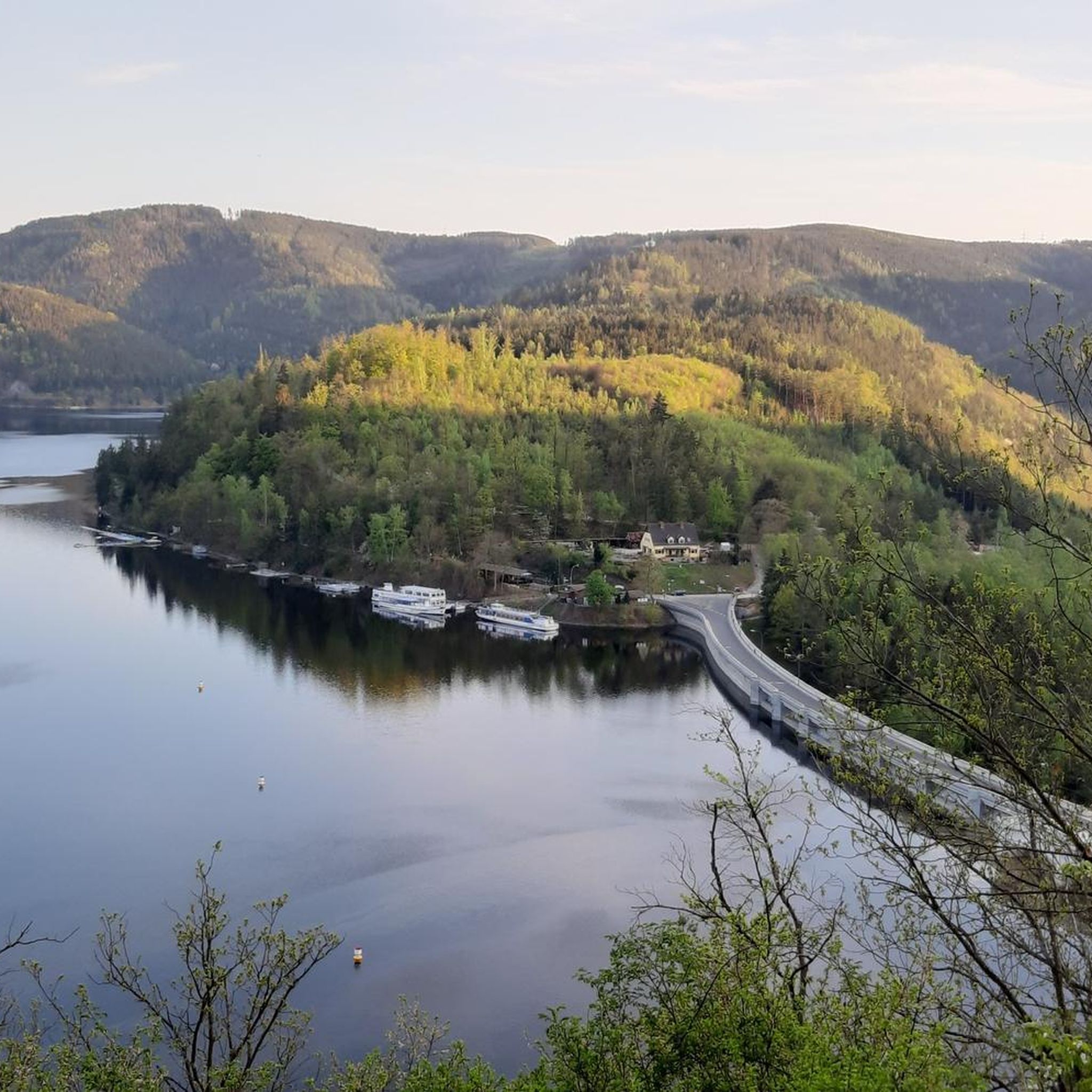
The region's local recreational destination and Germany's fourth largest reservoir was built in the 1930s and dams the waters of the Saale. The beach offers many options, including water skiing, various boat tours and, of course, perfect swimming opportunities.
11
0

It is really worth a trip there whether hiking or biking very beautiful
0
0

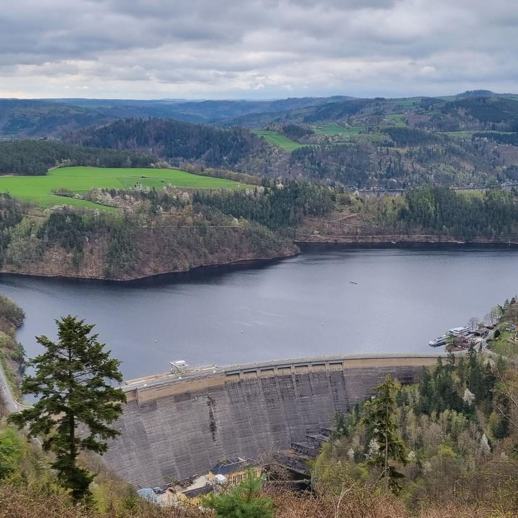
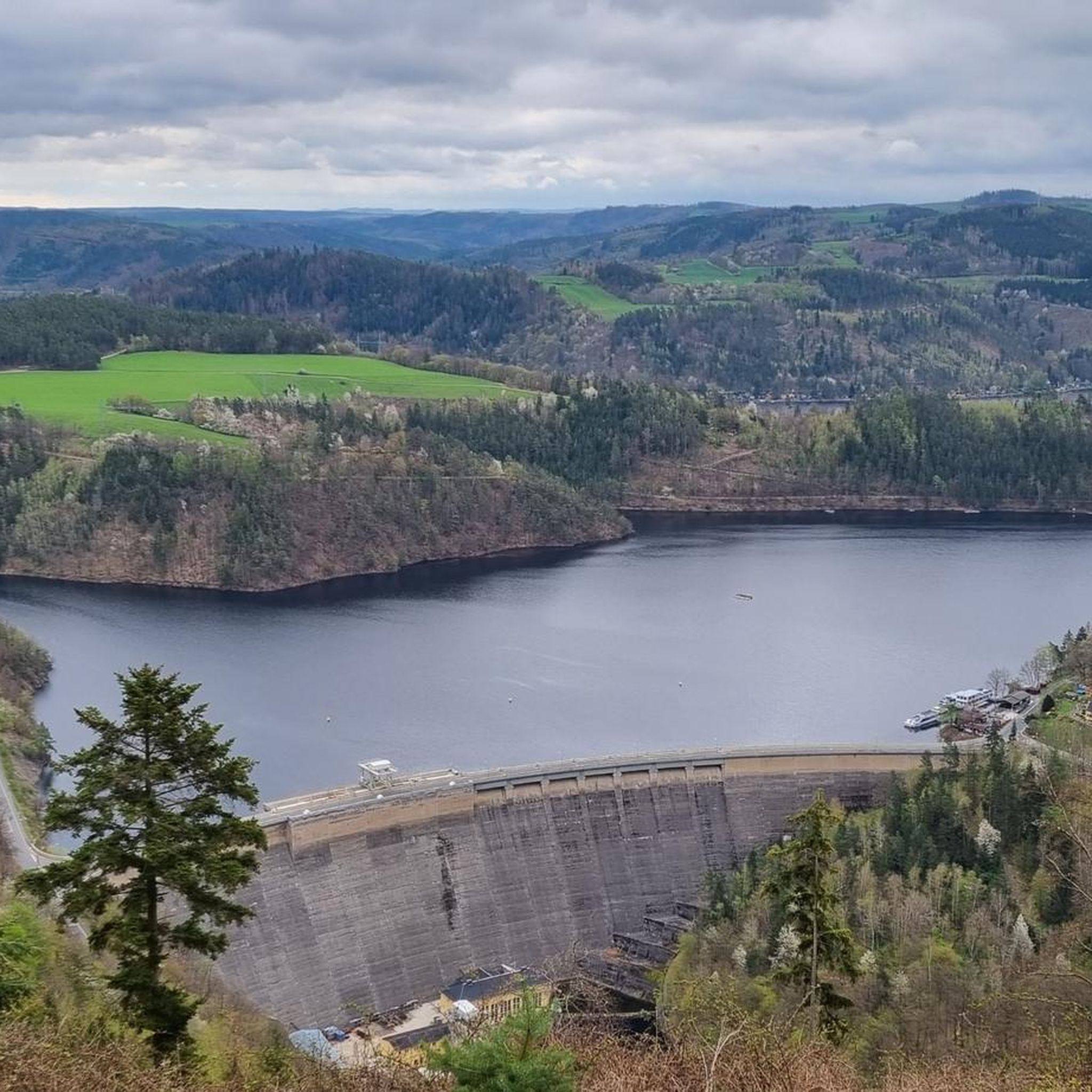
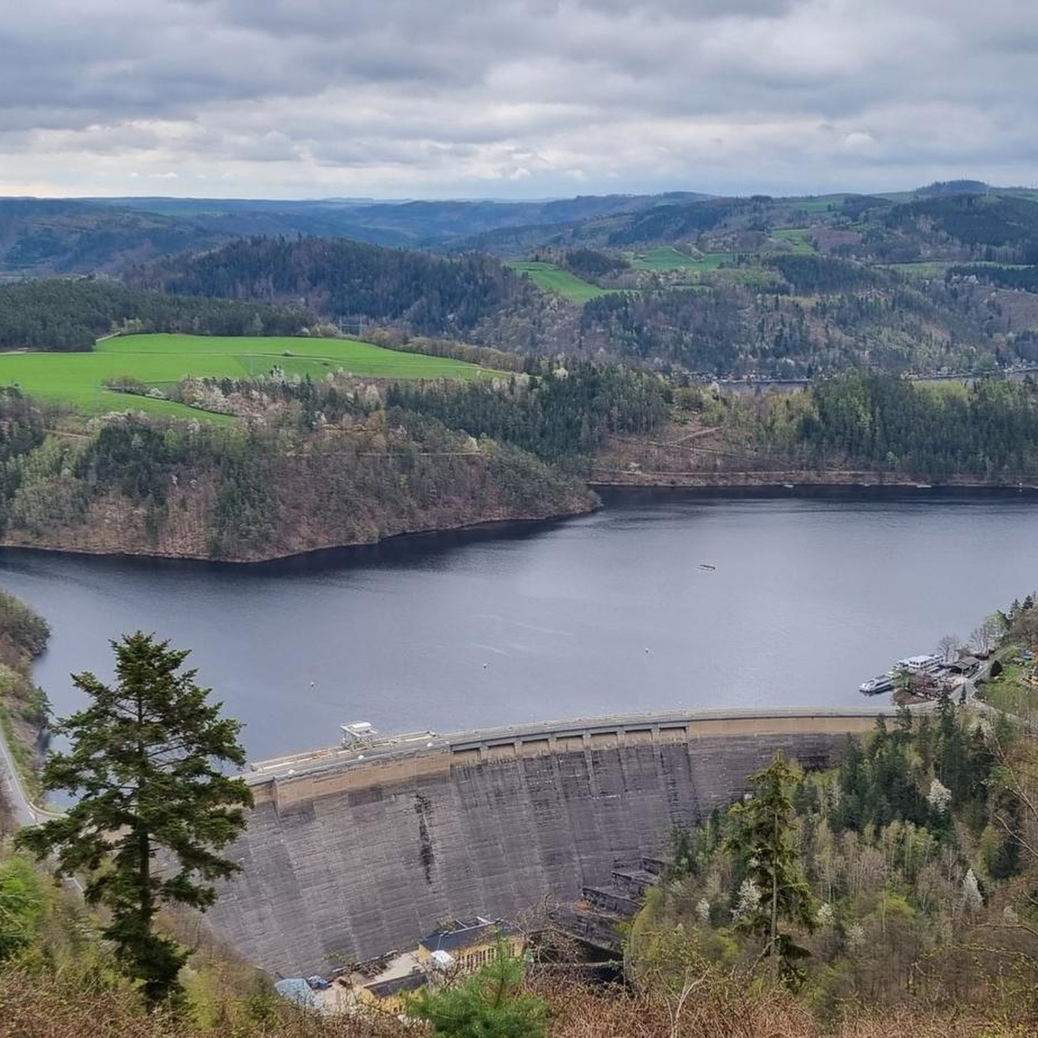
Currently the best viewpoint of the dam. Toloer Weg.
8
0
Frequently Asked Questions
How many running routes are available in the Hohenwarte region?
Hohenwarte offers a wide selection of running routes, with over 160 trails available. These routes cater to various fitness levels, including 16 easy, 112 moderate, and 36 difficult options.
Are there any easy or beginner-friendly jogging routes around Hohenwarte?
Yes, Hohenwarte has 16 easy running routes perfect for beginners or those looking for a relaxed jog. These trails typically feature gentler terrain along the reservoir or Saale River, providing a pleasant experience without significant climbs.
What are some longer distance running trails in Hohenwarte?
For those seeking a longer run, routes like the Gratitude Sign on Tree loop from Goßwitz/Bucha cover about 13.9 km. Another option is the challenging View of Hohenwarte Dam – Waldhotel at the Reservoir Bucha loop from Goßwitz/Bucha, which is approximately 13.2 km with more significant elevation changes.
Are there circular running routes in Hohenwarte?
Many of the running routes in Hohenwarte are designed as loops, offering a convenient way to start and finish at the same point. Examples include the popular Koßdorfbach Bridge – Mooshäuschen Viewpoint loop from Goßwitz/Bucha and the Tann-Berg loop from Kamsdorf.
What kind of views or landmarks can I expect on the jogging trails in Hohenwarte?
The running routes in Hohenwarte offer diverse scenery, including stunning views of the Hohenwarte Dam reservoir and the Saale River. You might also encounter historical sites like the Wysburg Castle Ruins or the impressive Ziemestal Viaduct. Many trails also lead through peaceful forested hills.
What do other runners say about the trails in Hohenwarte?
The running trails in Hohenwarte are highly regarded by the komoot community, boasting an average rating of 4.4 out of 5 stars from over 160 reviews. Runners frequently praise the varied terrain, scenic reservoir views, and the well-maintained paths.
Are there any running routes that pass by the Hohenwarte Dam?
Yes, several routes offer views of the impressive Hohenwarte Dam. The View of Hohenwarte Dam – Waldhotel at the Reservoir Bucha loop from Goßwitz/Bucha is a challenging option that specifically highlights the dam and the surrounding reservoir landscape.
Can I find running routes that are suitable for families with children?
While specific 'family-friendly' designations aren't always explicit, the 16 easy routes in Hohenwarte are generally suitable for families looking for a less strenuous run or walk. These often follow flatter paths along the water, providing a pleasant experience for all ages.
Are there any trails that offer a mix of river and forest scenery?
Absolutely. The Hohenwarte region is characterized by its blend of river valleys and forested hills. Routes like the Roter Berg – Breternitz Church on the Saale Cycle Path loop from Kaulsdorf (Saale) combine riverside sections with ascents into the woodlands, offering a diverse running experience.
What is the best time of year for jogging in Hohenwarte?
The Hohenwarte region is beautiful year-round, but spring and autumn offer particularly pleasant conditions for jogging with mild temperatures and vibrant natural colors. Summer is also popular, especially for routes that offer shade, while winter can provide unique snowy landscapes for those prepared for colder weather.
Are there any hidden gem running routes in Hohenwarte?
While many routes are well-known, exploring some of the less-trafficked moderate trails can reveal hidden corners of the Hohenwarte landscape. Look for routes that venture deeper into the forested areas away from the main reservoir paths for a more secluded experience.
What are the typical terrain conditions for running in Hohenwarte?
The terrain in Hohenwarte is quite varied. You'll find relatively flat paths along the Saale River and the reservoir, as well as more challenging ascents and descents through the surrounding forested hills. Expect a mix of paved sections, gravel paths, and natural forest trails.
Most popular attractions around Hohenwarte

Get inspired with the komoot mobile app


Explore more
Browse the best Running Trails & Routes in other regions.
