The best walks and hikes in Parc D'Olèrdola
4.5
(1392)
8,743
hikers
453
hikes
Hiking trails in Parc D'Olèrdola traverse a characteristic Mediterranean environment, featuring extensive holm oak and cork oak groves, Aleppo pine forests, and unique palm thickets. The landscape also includes croplands, scrubs, and maquis shrubland, with dry and rocky terrain shaped by limestone rock. Hikers will encounter karst formations like chasms and dolines, and the Olèrdola mountain offers views from its highest point at 358 meters. The park also contains significant historical remains, including an Iberian settlement, a Roman fort, and…
Last updated: July 1, 2026
4.5
(15)
45
hikers
Easy hike. Great for any fitness level. Easily-accessible paths. Suitable for all skill levels.
5.0
(1)
17
hikers
18.3km
05:36
560m
560m
Hard hike. Very good fitness required. Mostly accessible paths. Sure-footedness required.

Sign up for free
4.6
(5)
16
hikers
8.60km
02:53
330m
330m
Moderate hike. Good fitness required. Mostly accessible paths. Sure-footedness required.
5.0
(1)
15
hikers
17.9km
05:27
540m
540m
Hard hike. Very good fitness required. Mostly accessible paths. Sure-footedness required.
5.0
(2)
12
hikers
8.01km
02:26
230m
230m
Moderate hike. Good fitness required. Mostly accessible paths. Sure-footedness required.
Get access to more routes and recommendations from other explorers.
Sign up for free
Already have an account?
Our route recommendations are based on thousands of hikes, rides, and runs completed by other people on komoot.
Start today with a free account
Your next adventure awaits.
Login or Signup
Tips from the Community

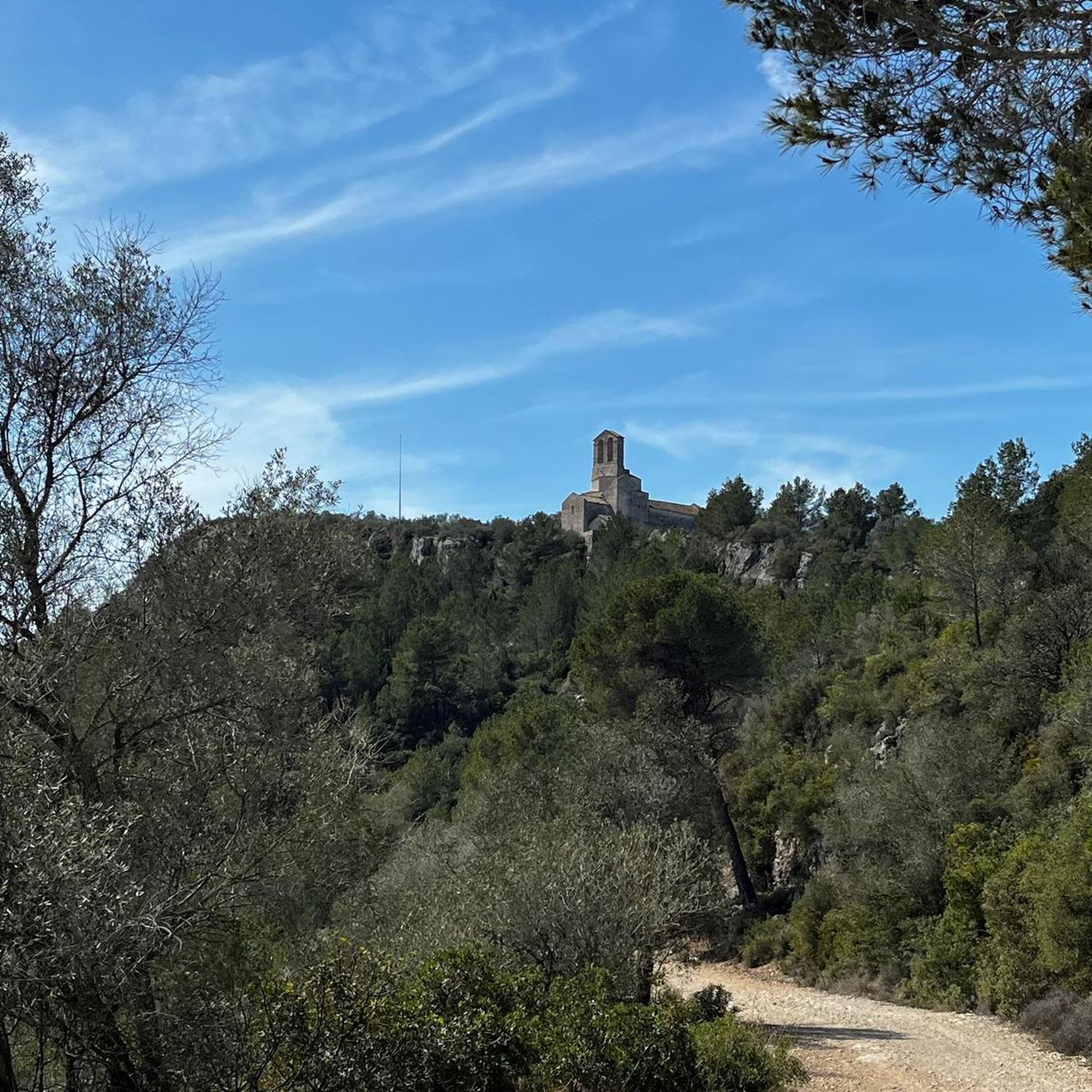
From the Canyellas road it is a two kilometer climb to the castle.
0
0

Mind-blowing track for Gravel
0
0

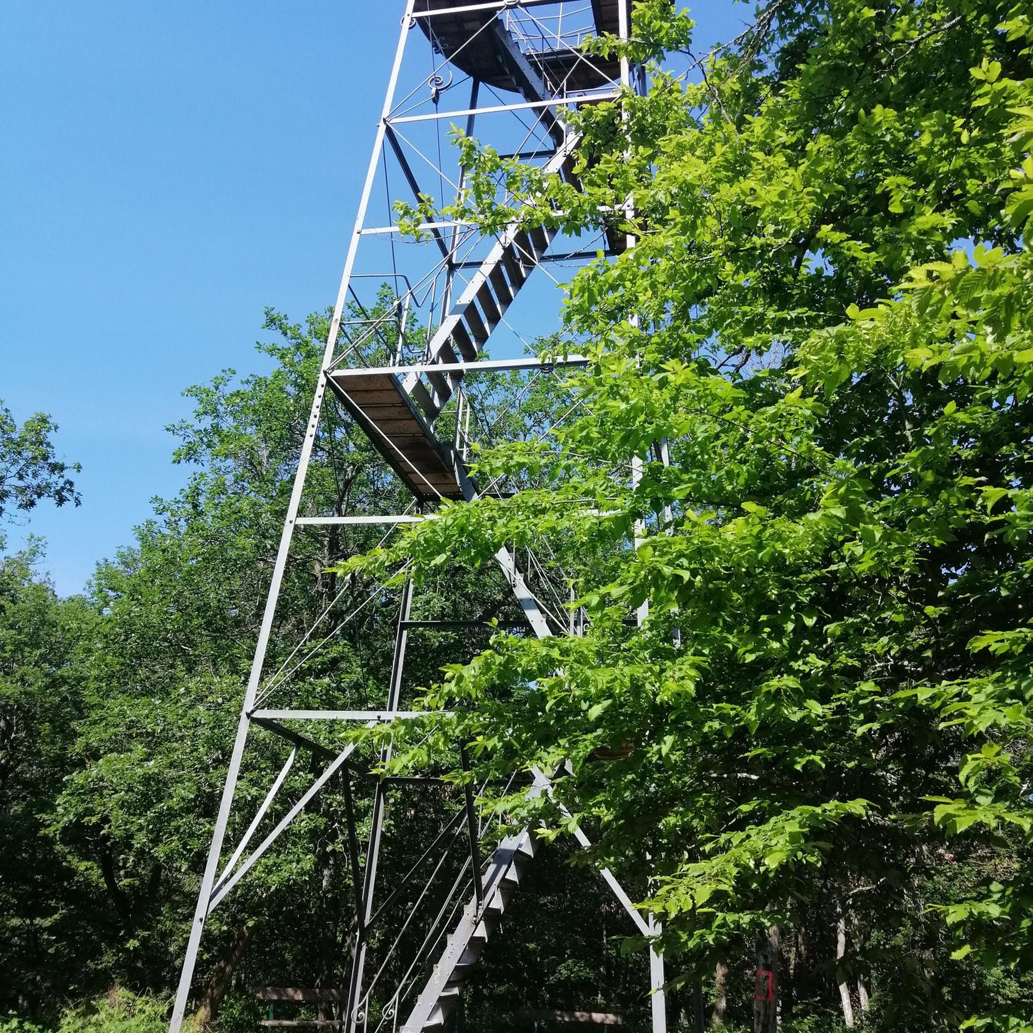
One of the highest mountains in the Vilafranca area and its area as a whole. From the top there are beautiful views of the whole and where there is a watchtower due to the large number of urbanizations that are around.
0
0
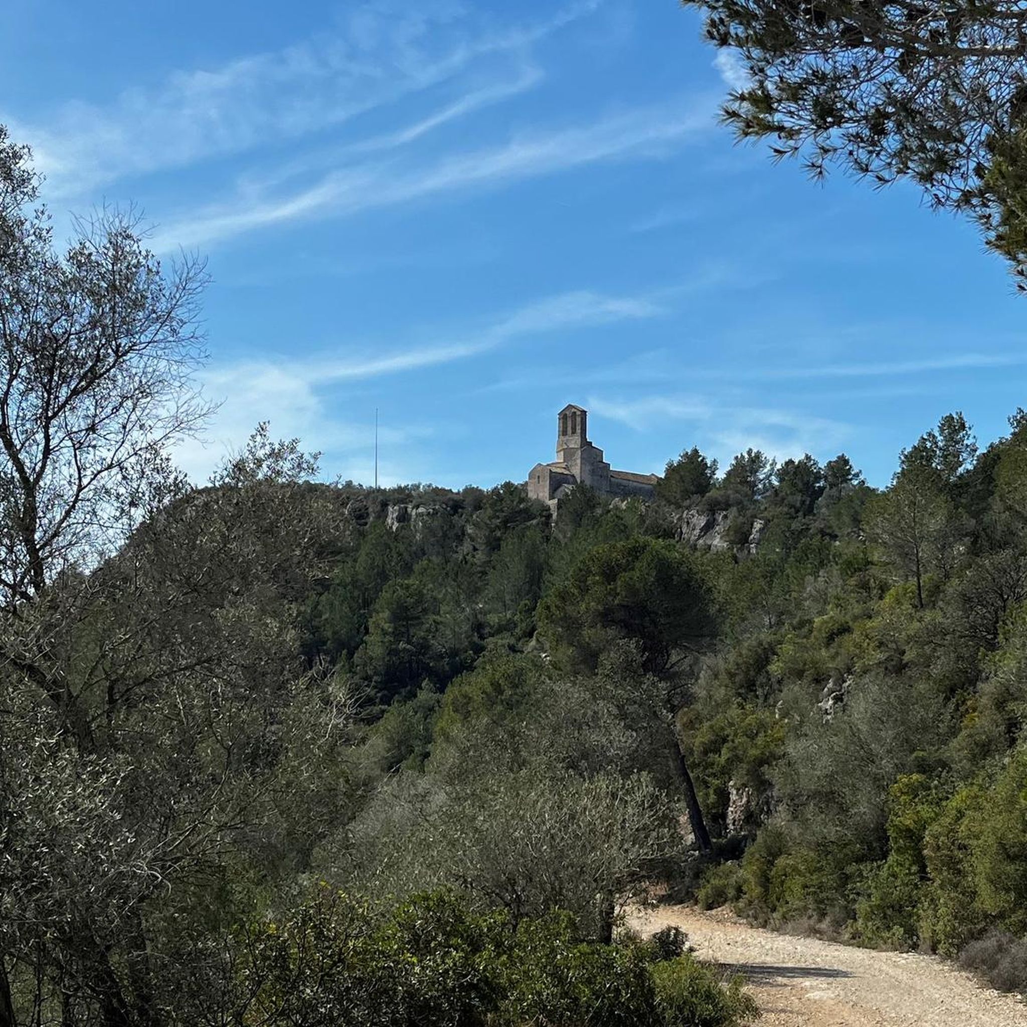
This is the path that will take us to the Castillo de Sant Miquel and that gives us good views of the plain of Vilafranca del Penedès.
0
0
Castle at the top of Olèrdola Park. This is one of the 12 natural spaces that try to be protected and at the same time that people can pass through giving life to the area. The old castle is an example, and passing by and seeing its walls is always beautiful!
0
0

Dry stone hut inventoried with the code: 92 (Source: Wikipedra) Isolated aerial construction with a circular plan and false dome. Flat blown stone eaves on the roof. Note the large side stones of the entrance door. Shack affected by the works on the C-15. October 2011: it is dismantled from its original location (X393452E / Y4574963N) and rebuilt next to the Castell d'Olèrdola car park.
1
0
Necropolis located on the elongated hill located in front of the Olerdolana wall. It is known as Pla dels Albats (relatively modern place name). This name comes from the numerous small and medium-sized tombs corresponding to infants and alabtas (babies who died before receiving the sacraments or having the use of reason) found in the necropolis of anthropomorphic tombs. More than a hundred tombs have been located. The graves are excavated in the rock, they are rectangular in plan, with the head separated from the rest of the body and narrower at the feet. Most feature a socket in the rock itself for the cap. The graves follow the east-west orientation. In the middle of the necropolis are the ruins of a building that has been identified as the remains of the chapel of Santa Maria. Part of the north wall is preserved, with a height close to 3 meters and the west wall, modernly altered. The chapel of Santa Maria and the necropolis must be associated with the population, more or less dispersed, located outside the walls in medieval times. They were already in operation at the beginning of the 10th century. Observations: Archaeological research is very incipient in this sector, its evolution will confirm the exact functionality of the building described, its chronology and the relationship with the remains of another building that can be guessed in the middle of the necropolis.
3
0
Shack inventoried with code: 12541 (Source: Wikipedra). Located at a bend in the path from Can Muntaner to Puig de l'Àliga, in a grove of young pines. Next to it is a circular pit of about 3.5 m in diameter. Inside it has a barrack (wardrobe or cocoon) on the floor on the N wall.
1
0
Frequently Asked Questions
How many hiking trails are available in Parc D'Olèrdola?
Parc D'Olèrdola offers a wide selection of hiking opportunities, with over 460 trails recorded on komoot. These routes cater to various fitness levels, including 160 easy, 275 moderate, and 25 difficult options.
What kind of terrain can I expect on the trails in Parc D'Olèrdola?
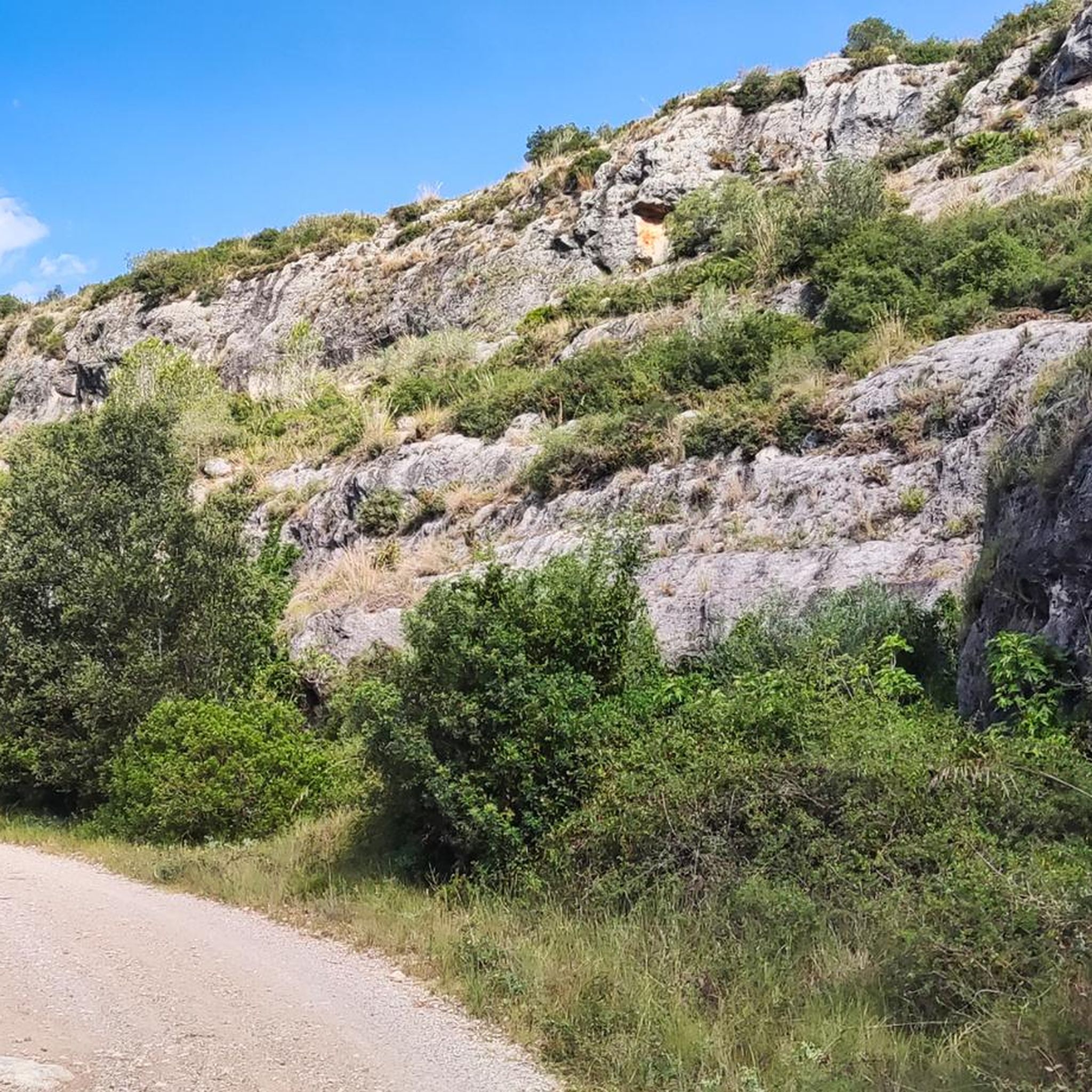
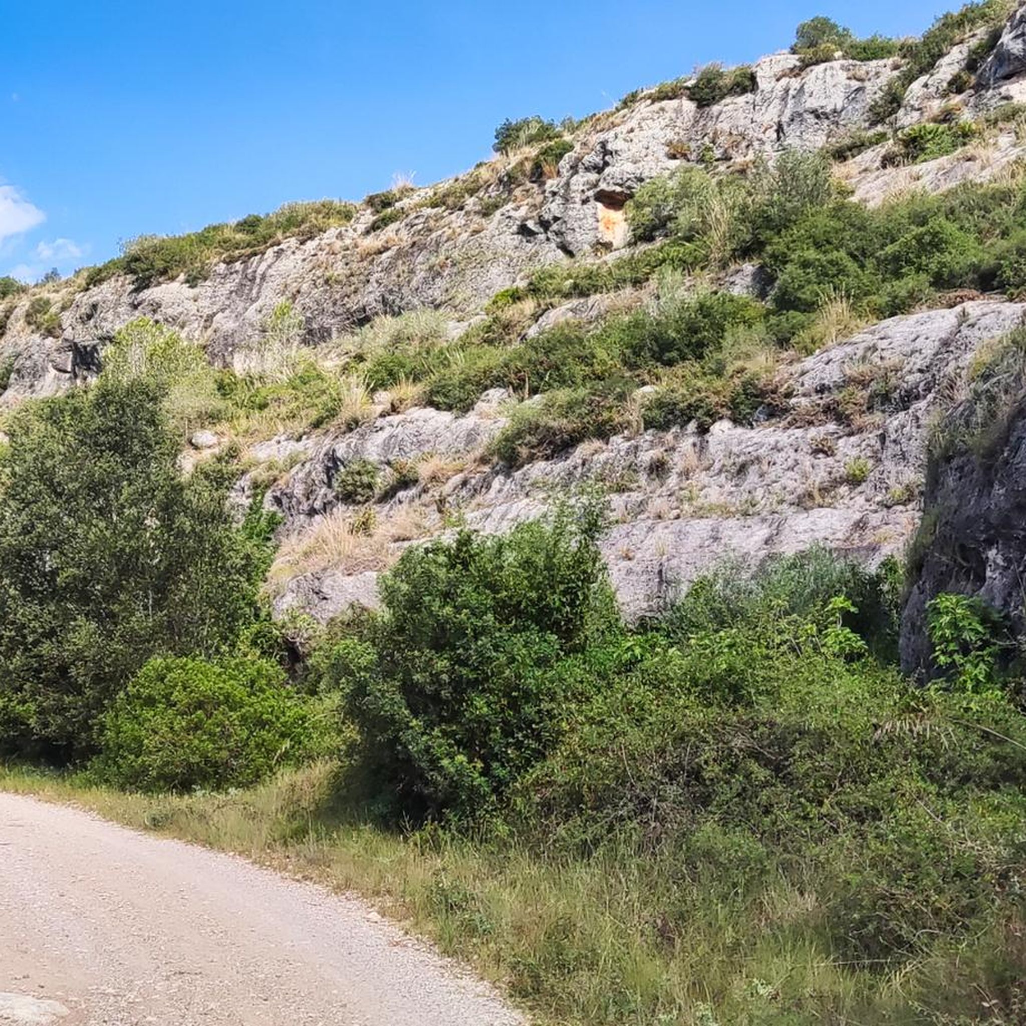
The terrain in Parc D'Olèrdola is characteristic of a Mediterranean environment, featuring extensive holm oak and cork oak groves, Aleppo pine forests, and unique palm thickets. You'll also encounter croplands, scrubs, and maquis shrubland. The landscape is often dry and rocky, shaped by limestone, with notable karst formations like chasms and dolines. Trails can range from gentle paths to more challenging ascents.
What historical sites and landmarks can I see while hiking in Parc D'Olèrdola?
Parc D'Olèrdola is rich in history. Hikers can explore the Olèrdola Castle and Archaeological Site, which includes an Iberian settlement, a Roman fort, and a medieval town. Other significant points of interest are the Romanesque church of Sant Miquel, a remarkable Roman cistern dug into the rock, and the Pla dels Albats Necropolis and Chapel Ruins with tombs carved into the rock. You might also spot traditional stone huts and drystone walls integrated into the landscape.
Are there any good viewpoints in Parc D'Olèrdola?
Yes, Parc D'Olèrdola offers several excellent viewpoints. The Puig de l'Àliga summit is a popular spot, providing expansive views of the surrounding area. The Olèrdola mountain itself acts as a natural watchtower, with its highest point at 358 meters offering panoramic vistas.
Are there any family-friendly hiking options in Parc D'Olèrdola?
Yes, Parc D'Olèrdola has many trails suitable for families. With over 160 easy routes, you can find walks that are manageable for all ages. An example of an easy, family-friendly loop is the Font de Fontjilles – Lime Kiln of Can Castellví loop from Castell d'Olèrdola, which is 6.8 km long and takes less than two hours to complete.
Can I bring my dog on the hiking trails in Parc D'Olèrdola?
Parc D'Olèrdola is generally dog-friendly, but it's always recommended to keep your dog on a leash, especially in areas with wildlife or near historical sites. Be mindful of the dry and rocky terrain, and ensure you carry enough water for both yourself and your pet, particularly during warmer months.
What is the best time of year to go hiking in Parc D'Olèrdola?
The best time to hike in Parc D'Olèrdola is typically during spring and autumn when the temperatures are milder. Summers can be quite hot and dry, making longer hikes more challenging. Winter offers cooler temperatures, but some trails might be muddy after rain. Spring brings blooming wildflowers, while autumn showcases beautiful Mediterranean foliage.
Are there circular hiking routes available in Parc D'Olèrdola?
Yes, many of the trails in Parc D'Olèrdola are designed as circular routes, allowing you to start and end at the same point without retracing your steps. For example, the Puig de l'Àliga Summit – Lime Kiln of Can Castellví loop from barraca de pedra seca 92 is a moderate 10.7 km circular path offering varied terrain and views.
What do other hikers enjoy most about Parc D'Olèrdola?
The area is highly rated by the komoot community, with an average score of 4.5 stars from over 1,200 reviews. Hikers often praise the unique blend of Mediterranean landscapes, the rich historical sites, and the diverse range of trails suitable for different abilities. The expansive views from elevated points and the tranquility of the holm oak groves are frequently highlighted.
Is there parking available at the trailheads in Parc D'Olèrdola?
Yes, parking is generally available at key access points and near popular trailheads within Parc D'Olèrdola, such as near the Olèrdola Castle and Archaeological Site. It's advisable to check specific route details on komoot for precise parking information for your chosen trail.
Are there any natural features like springs or unique flora to look out for?
Absolutely. Parc D'Olèrdola is known for its characteristic Mediterranean flora, including extensive holm oak and cork oak groves, Aleppo pine forests, and unique palm thickets – the only variety of palm tree found in Europe. Hikers will also encounter numerous springs along the trails, providing refreshing stops in the dry landscape.
What is the longest hike I can do in Parc D'Olèrdola?
For those seeking a longer challenge, the Penya del Papiol – Puig de l'Àliga Summit loop from Canyelles is a demanding 18.3 km trail. This route leads through diverse Mediterranean landscapes and historical sites, typically taking around 5 hours and 36 minutes to complete, requiring very good fitness.
Most popular routes in Parc D'Olèrdola
Most popular attractions in Parc D'Olèrdola

Get inspired with the komoot mobile app


Explore more
Browse the best Hikes in other regions.
