The best MTB trails in Riserva Naturale Regionale Macchiatonda
4.2
(230)
1,577
riders
92
rides
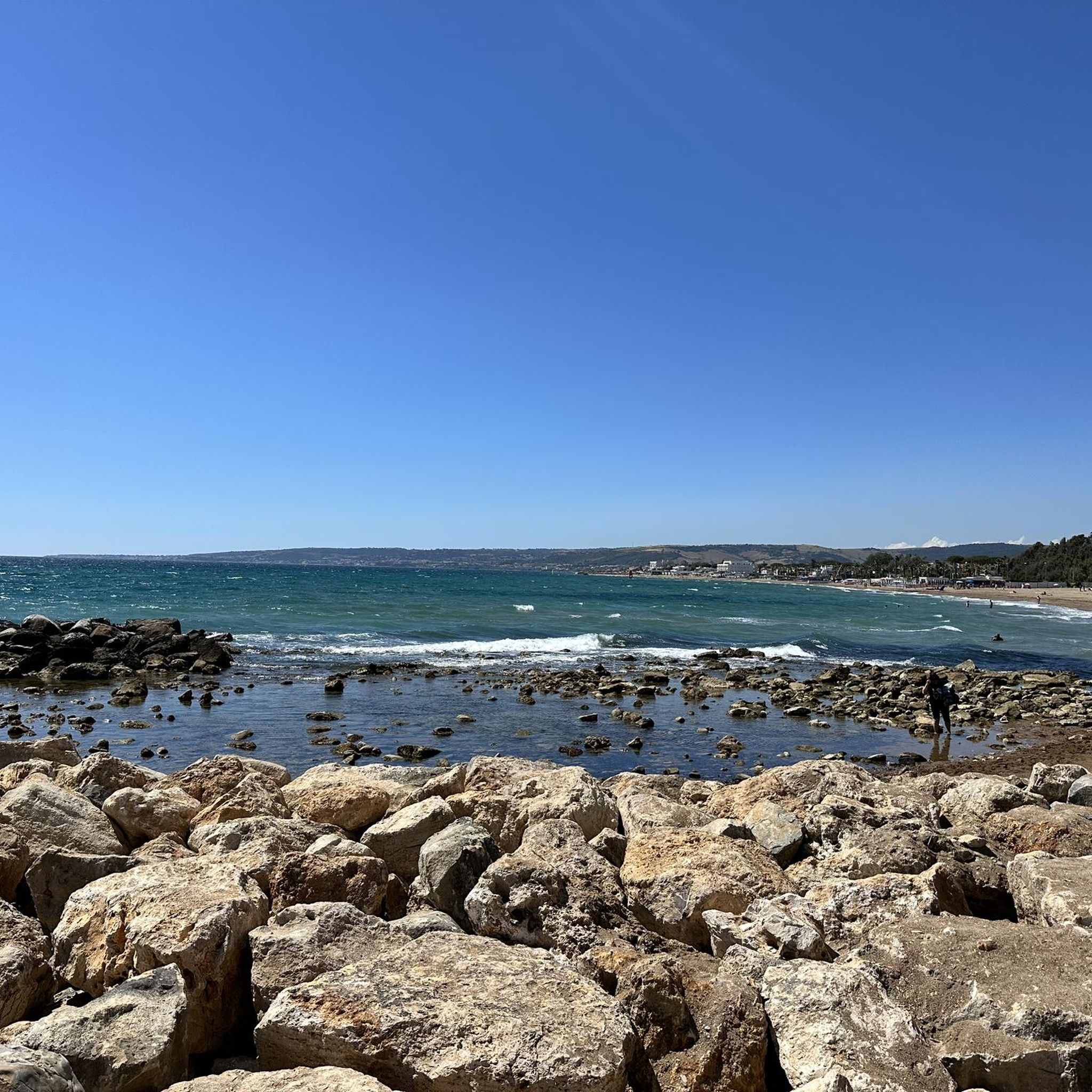
Mountain bike trails in Riserva Naturale Regionale Macchiatonda traverse a unique coastal plain situated between the Ceriti mountains and the Tyrrhenian coast. This region features diverse ecosystems, including marshy fields, freshwater and brackish ponds, sand dunes, and the rare Macchia Tonda forest. The terrain is characterized by flat to gently rolling coastal areas, with some routes extending into the surrounding hilly areas and towards the Tolfetano Hills. Paths are generally well-maintained, providing access to both natural features and historical sites.
…Last updated: July 5, 2026
13
riders
46.1km
03:33
670m
670m
Moderate mountain bike ride. Good fitness required. Advanced riding skills necessary.
7
riders
Hard mountain bike ride. Very good fitness required. Advanced riding skills necessary.

Sign up for free
4.0
(2)
75
riders
50.6km
04:22
1,170m
1,170m
Hard mountain bike ride. Very good fitness required. Advanced riding skills necessary.
4.5
(4)
44
riders
Hard mountain bike ride. Very good fitness required. Advanced riding skills necessary.
5.0
(2)
35
riders
39.3km
03:55
910m
910m
Hard mountain bike ride. Very good fitness required. Advanced riding skills necessary.
Get access to more routes and recommendations from other explorers.
Sign up for free
Already have an account?
Our route recommendations are based on thousands of hikes, rides, and runs completed by other people on komoot.
Start today with a free account
Your next adventure awaits.
Login or Signup
Popular around Riserva Naturale Regionale Macchiatonda

Tips from the Community

Abandoned road or climb of the 2 columns
0
0
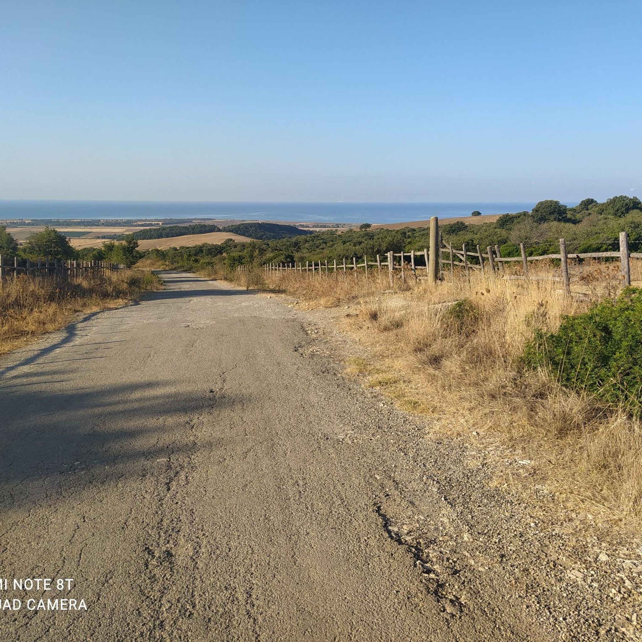
Beautiful climb towards Tolfa, very panoramic sea view
0
0

Panoramic point between the sea and the nature trail of the Tolfa Mountains
1
0
The route winds between the sea and the Tolfa mountains, crossing one of the most beautiful panoramas of the Maremma Laziale
1
0

it is indeed very technical, frequented by motorcyclists with dirt bikes, who move the ground creating ruts. But with a little attention you can descend at all levels.
0
0
"La Casermetta is located in a panoramic position, at the foot of Monte dell’Acqua Tosta, overlooking the vast Ascetta Valley. It is located in an area characterized by pastures and woods, typical of the landscape of the Tolfa Mountains. It dates back to the 1930s and was used as a partisan base during the Second World War.
0
0
Place marked on Google Maps, but there are no descriptions of any kind.
0
0
Strada delle 2 colonne or abandoned road, a connecting point between the sea and the Tolfa mountains
0
0
Frequently Asked Questions
How many mountain bike trails are available in Riserva Naturale Regionale Macchiatonda?
There are nearly 100 mountain bike trails in the Riserva Naturale Regionale Macchiatonda, offering a wide range of options for different skill levels. You'll find 14 easy routes, 47 moderate routes, and 33 difficult routes to explore.
What is the typical terrain and difficulty of mountain bike trails in Riserva Naturale Regionale Macchiatonda?
The trails generally traverse coastal plains, with paths that are mostly easy to moderate. While many routes are well-maintained and suitable for various fitness levels, some can become wet after rain due to the area's natural tendency to swamp, so waterproof footwear is advisable. More challenging routes with significant climbs can be found in the surrounding hills, such as the difficult route Le Due Colonne Climb – View of the Tolfetano Hills loop from Santa Severa.
Are there any family-friendly mountain bike trails in the reserve?
Yes, the reserve offers many easy paths suitable for families. The generally flat coastal plains make for pleasant rides. While specific family-friendly routes aren't highlighted by name in the data, the 14 easy routes available are a great starting point for a relaxed family outing.
Are dogs allowed on the mountain bike trails in Riserva Naturale Regionale Macchiatonda?
The Riserva Naturale Regionale Macchiatonda is a natural reserve, and while specific regulations for dogs on mountain bike trails are not detailed, it's generally recommended to keep dogs on a leash to protect the abundant wildlife, especially migratory birds. Always check local signage for the most current rules.
What natural features or landmarks can I see while mountain biking in the reserve?
The reserve is rich in natural beauty and historical sites. You can explore coastal wetlands, the rare ancient Macchia Tonda forest of laurel and elm, and a wild beach. The reserve is also an important 'stepping stone' for migratory birds, making it excellent for birdwatching. Additionally, the historic Castello di Santa Severa is located nearby and houses the reserve's Visitor Centre.
Are there any circular mountain bike routes available?
Yes, many of the mountain bike routes in the area are loops. For example, you can try the moderate Patrizi's Fountain – Le Due Colonne Climb loop from Aeroporto di Furbara, which covers 46.1 km, or the more challenging View of the Tolfetano Hills – Fontanile della Fontanaccia loop from Santa Severa, a 46.2 km ride through scenic hills.
What is the best time of year to go mountain biking in Riserva Naturale Regionale Macchiatonda?
The reserve can be enjoyed year-round, but spring and autumn are often ideal for mountain biking due to milder temperatures and vibrant natural scenery. During wetter periods, be prepared for potentially damp trails, as the area is prone to swampiness.
Where can I park when visiting Riserva Naturale Regionale Macchiatonda for mountain biking?
Parking is generally available near the main access points to the reserve, particularly around the Castello di Santa Severa, which also serves as the headquarters for the reserve's offices and Visitor Centre. It's advisable to check for specific parking areas upon arrival.
What do other mountain bikers enjoy the most about mountain biking in Riserva Naturale Regionale Macchiatonda?
The area is highly rated by the komoot community, with an average score of 4.4 stars from over 270 reviews. Mountain bikers often praise the unique coastal plain landscape, the diverse ecosystems, and the well-maintained trails that offer a mix of easy rides and more challenging routes in the surrounding hills.
Are there any routes that offer significant climbs or views?
Yes, while much of the reserve is flat, routes extending into the nearby hills offer more elevation. The difficult Fontanile della Fontanaccia – Monte Quartaccio Summit Climb loop from Santa Severa, for instance, features over 1000 meters of elevation gain. Another option is the moderate Fosso Rio Fiume Ford – Monte Quartaccio Summit Climb loop from Santa Severa.
Are there any facilities or amenities near the mountain bike trails?
The Castello di Santa Severa, located near the reserve, hosts a Visitor Centre that provides information about the reserve's flora and fauna, a photographic exhibition, and even a Mediterranean marine aquarium. There are also cafes and accommodation options available in Santa Severa and the surrounding towns.
Most popular routes in Riserva Naturale Regionale Macchiatonda

Get inspired with the komoot mobile app


Explore more
Browse the best MTB trails in other regions.
