The best road cycling routes in Monte Tancia E Monte Pizzuto
4.5
(166)
3,323
riders
105
rides
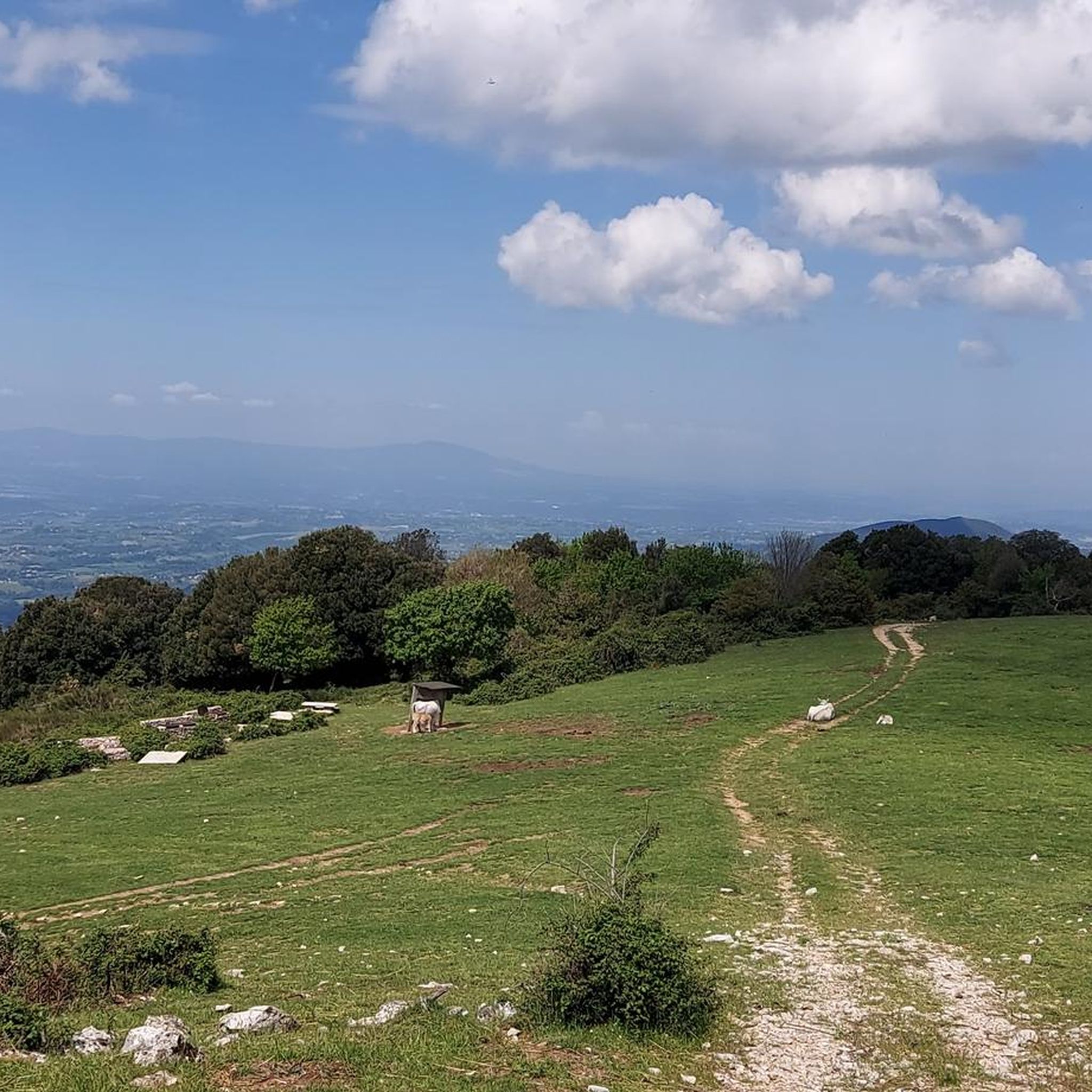
Road cycling in Monte Tancia E Monte Pizzuto offers diverse landscapes within the Sabini Mountains, characterized by significant elevation changes and panoramic views. The region features challenging terrain with routes that ascend to peaks like Monte Tancia (1,292 meters) and Monte Pizzuto (1,288 meters), providing extensive vistas of the Tiber Valley and Central Apennines. Cyclists can expect a mix of paved surfaces, winding through areas with beech forests and historic villages. The Monte Tancia Monte Pizzuto terrain elevation cycling provides…
Last updated: July 6, 2026
4.6
(5)
39
riders
59.9km
03:17
1,250m
1,250m
Hard road ride. Very good fitness required. Mostly well-paved surfaces and easy to ride.
3.5
(2)
18
riders
42.1km
02:06
590m
590m
Moderate road ride. Good fitness required. Mostly well-paved surfaces and easy to ride.

Sign up for free
4
riders
Easy road ride. Great for any fitness level. Mostly well-paved surfaces and easy to ride.
5
riders
43.0km
02:22
800m
800m
Moderate road ride. Good fitness required. Mostly well-paved surfaces and easy to ride.
58
riders
76.3km
03:30
790m
790m
Moderate road ride. Good fitness required. Mostly well-paved surfaces and easy to ride.
Get access to more routes and recommendations from other explorers.
Sign up for free
Already have an account?
Our route recommendations are based on thousands of hikes, rides, and runs completed by other people on komoot.
Start today with a free account
Your next adventure awaits.
Login or Signup

Tips from the Community

Beautiful small village square with a few restaurants / bars. Ideal for a short break after the climb. During the Christmas season, there is also a Christmas market with a nativity scene: here is the link 2025 https://www.facebook.com/ComunediGreccio/posts/tra-i-grandi-eventi-del-natale-2025-di-greccio-con-la-mostra-mercato-dellartigia/1135732188735441/
1
0

Santurio di Grecchio, one of the four shrines of Saint Francis in the Rieti Valley, known for its beautiful nativity scene. This is where the story of the Christmas flu began.
0
0
Sanctuary of Grecchio, one of the four shrines of St. Francis around Rieti Valley. Here, Francis depicted the Christmas story with living figures to help the local farmers understand it. Since then, setting up a nativity scene at Christmas has been a custom throughout most of the Christian world. Grecchio is a very special place
2
0

A small hamlet of Terni, on the border between the Terni basin and the Rieti plain, crossed by the Velino river, it gives its name to the homonymous waterfall. An almost obligatory passage if you are between Terni and Rieti
3
0
The walls surround the entire center, of Roman origin, of which few traces remain; the medieval walls built in the 13th century are still widely visible with their towers and portals, which are considered "among the most imposing and best preserved in Lazio. Very suggestive
2
0

Going down via Roma you reach the Velino bridge, known however by the same name as the one demolished in the thirties and placed, a little below, on the river bed: Roman bridge.
1
0

It is early morning and the air is still like the lake water, everything is silent before the awakening of nature and man. The sun is there and begins to make visible the palette of a thousand colors. It is life that gives itself
0
0

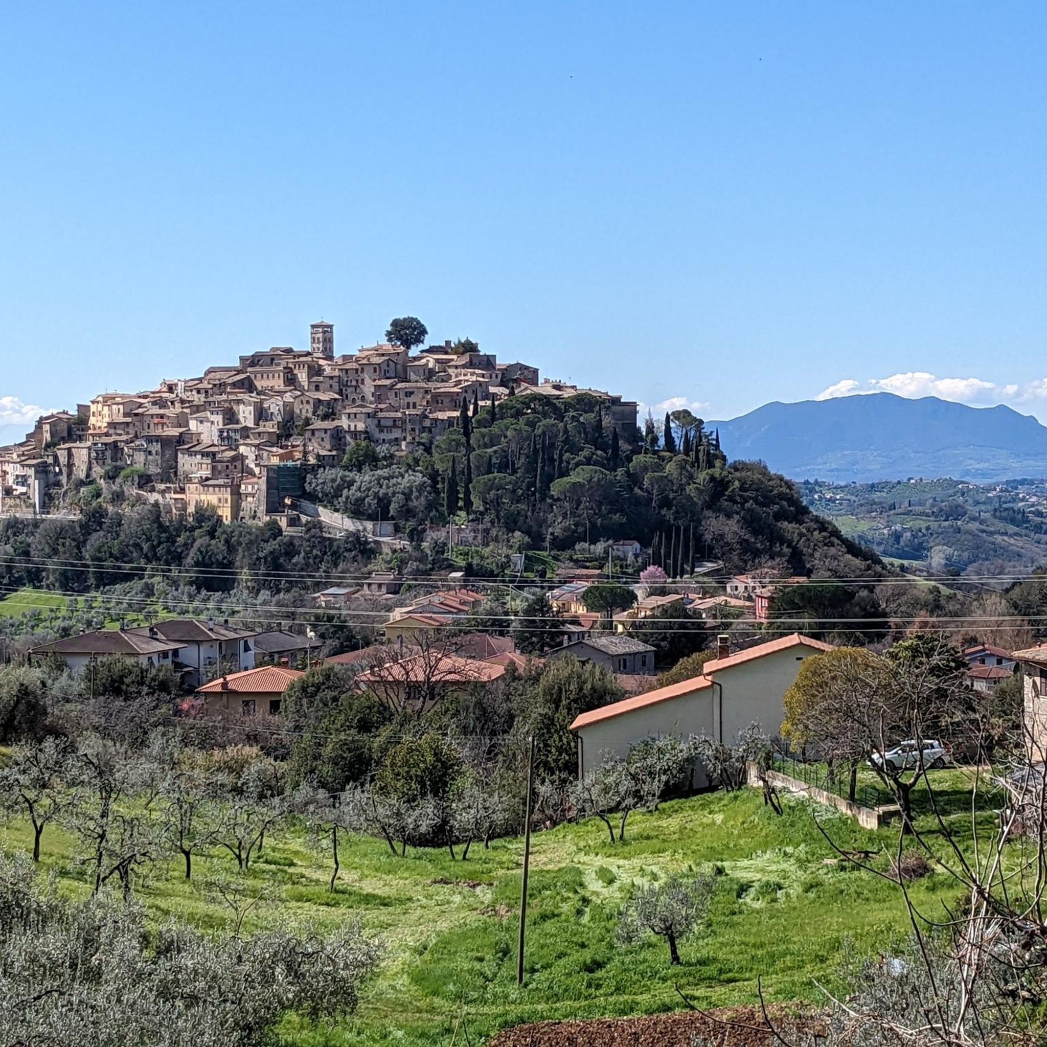
Village in the province of Rieti, on the border with Umbria. Touring Club orange flag. 628m above sea level It houses the Nobili Vitelleschi castle
0
0
Frequently Asked Questions
How many road cycling routes are available in Monte Tancia E Monte Pizzuto?
There are over 100 road cycling routes available in Monte Tancia E Monte Pizzuto, offering a wide range of experiences for cyclists. The komoot community has explored more than 118 routes in the area.
What is the general difficulty level for road cycling in Monte Tancia E Monte Pizzuto?
The region offers a diverse range of difficulties. You'll find approximately 17 easy routes, 51 moderate routes, and 50 difficult routes, ensuring options for various fitness levels and preferences. Many routes feature significant elevation changes and challenging climbs.
What kind of terrain can I expect on road cycling routes in Monte Tancia E Monte Pizzuto?
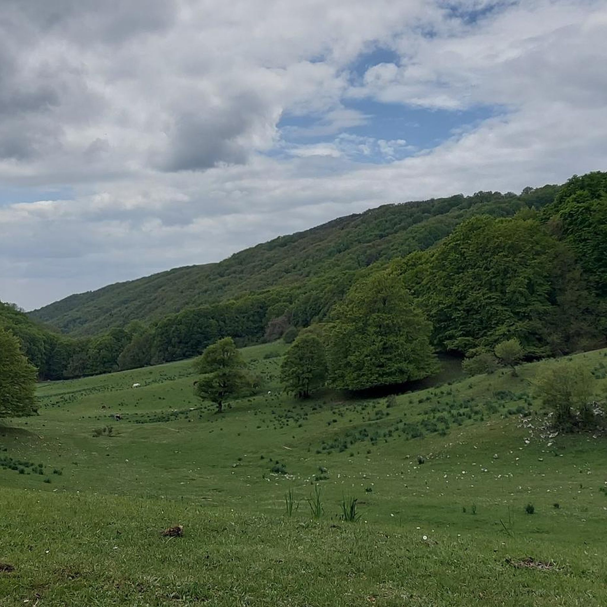
Road cycling routes in Monte Tancia E Monte Pizzuto primarily feature mostly paved surfaces, winding through diverse landscapes. You can expect challenging ascents, descents through beech forests, and paths that lead through historic villages. The terrain often includes significant elevation changes, offering rewarding panoramic views.
Are there any easy road cycling routes in Monte Tancia E Monte Pizzuto?
Yes, there are several easy road cycling routes. For a less strenuous ride, consider the Contigliano Alto – Picnic Area loop from Contigliano. This route covers 28.2 miles (45.3 km) with a moderate elevation gain, making it suitable for a more relaxed experience.
Can I find challenging road cycling routes with significant climbs and panoramic views?
Absolutely. The region is known for its challenging terrain. A difficult route like the Arrone Historic Village – Forca di Arrone Pass loop from Contigliano offers 62.2 miles (100.1 km) with over 1,500 meters of elevation gain, providing extensive views and a demanding ride.
Are there any loop road bike routes in Monte Tancia E Monte Pizzuto?
Yes, many routes in the area are designed as loops. For example, the View of Fara in Sabina – Fara Sabina loop from Casperia is a difficult 35-mile (56.3 km) loop that offers significant climbs and scenic vistas.
What landmarks or viewpoints can I see while road cycling in Monte Tancia E Monte Pizzuto?
The routes offer access to several notable landmarks and viewpoints. You can cycle past the historic Tancia Inn, which dates back to the 15th century, or enjoy breathtaking 360-degree views from the Monte Pizzuto Summit or Monte Tancia Summit (1,292 m). Some routes also pass near the ancient San Michele Cave.
Are there any natural features to explore along the cycling routes?
Yes, the region is rich in natural beauty. While cycling, you might encounter the expansive beech forests of Valle Gemini, or the striking Pozze del Diavolo (Devil's Pools) waterfall with its crystal-clear, emerald-green pools. The area also features the unique Revotano chasm, known for its lush microclimate vegetation.
What do other cyclists say about road cycling in Monte Tancia E Monte Pizzuto?
The area is highly rated by the komoot community, with an average score of 4.6 stars from over 140 reviews. Cyclists often praise the challenging ascents, the rewarding panoramic views of the Tiber Valley and Central Apennines, and the opportunity to cycle through historic villages and serene beech forests.
Is parking available for road cyclists in Monte Tancia E Monte Pizzuto?
While specific parking areas for cyclists are not detailed, many routes start from towns like Contigliano or Casperia, where public parking is generally available. It's advisable to check local parking options in these starting points before your ride.
Are there road cycling routes that pass through historic villages?
Yes, several routes are designed to take you through charming historic villages. The Rocchette Historic Village – Rocchette loop from Casperia is a moderate 41.1-mile (66.1 km) path that specifically passes through such settlements, offering a blend of cycling and cultural exploration.
Most popular routes in Monte Tancia E Monte Pizzuto
Most popular attractions in Monte Tancia E Monte Pizzuto

Get inspired with the komoot mobile app


Explore more
Browse the best Road cycling routes in other regions.
