The best walks and hikes in Fosso Di Camposolo
4.2
(334)
1,461
hikers
52
hikes
Hiking in Fosso Di Camposolo offers a variety of trails through the Umbrian landscape, characterized by rolling hills, historic villages, and forested areas. The region provides diverse terrain, from paths winding through ancient settlements to routes ascending to scenic viewpoints. Hikers can expect a mix of rural roads and natural trails, often featuring moderate elevation changes.
Best hiking trails in Fosso Di Camposolo
- The most popular hiking route is Eremo di Sant'Antonio – Vallo di Nera Historic Village loop from…
Last updated: July 8, 2026
4.3
(14)
50
hikers
Moderate hike. Good fitness required. Easily-accessible paths. Suitable for all skill levels.
5.0
(4)
16
hikers
16.7km
04:35
260m
260m
Moderate hike. Good fitness required. Easily-accessible paths. Suitable for all skill levels.

Sign up for free
1.0
(1)
6
hikers
10.6km
03:10
310m
310m
Moderate hike. Good fitness required. Easily-accessible paths. Suitable for all skill levels.
4.2
(9)
24
hikers
12.6km
03:59
510m
510m
Moderate hike. Good fitness required. Easily-accessible paths. Suitable for all skill levels.
3.0
(2)
16
hikers
8.62km
02:38
290m
290m
Moderate hike. Good fitness required. Easily-accessible paths. Suitable for all skill levels.
Get access to more routes and recommendations from other explorers.
Sign up for free
Already have an account?
Our route recommendations are based on thousands of hikes, rides, and runs completed by other people on komoot.
Start today with a free account
Your next adventure awaits.
Login or Signup

Tips from the Community

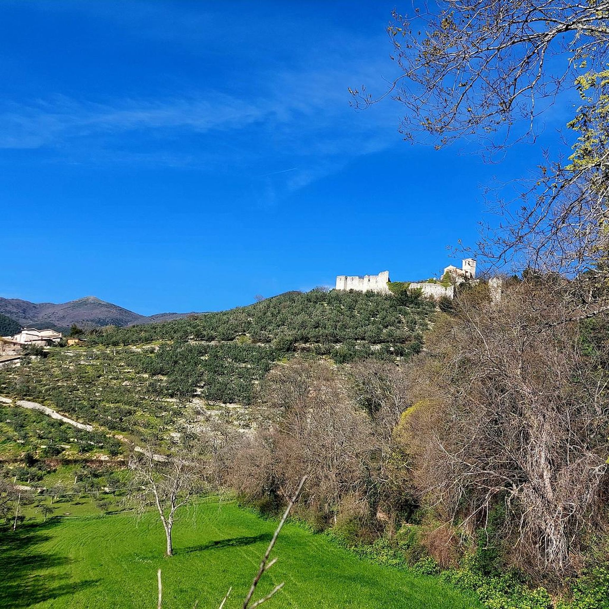
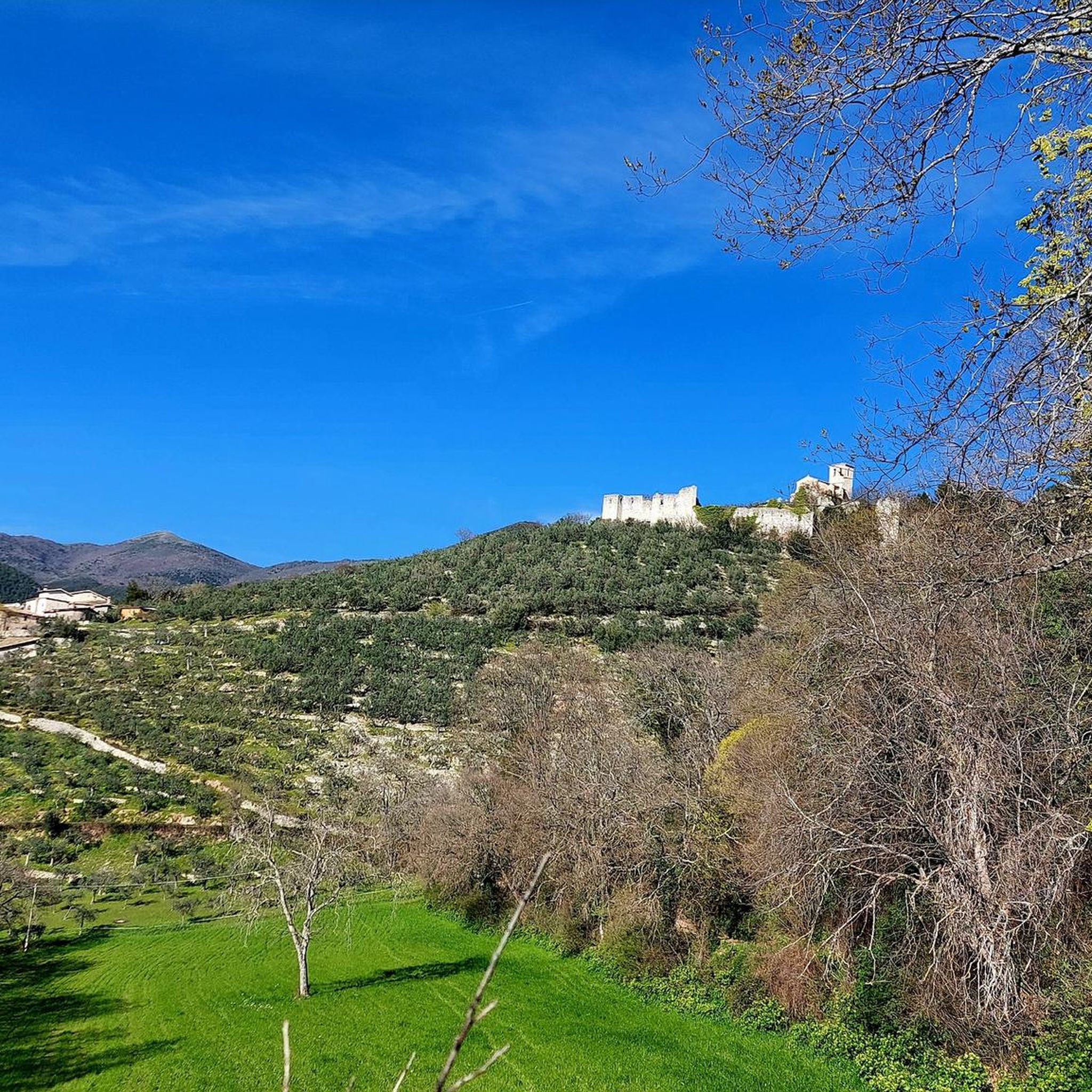
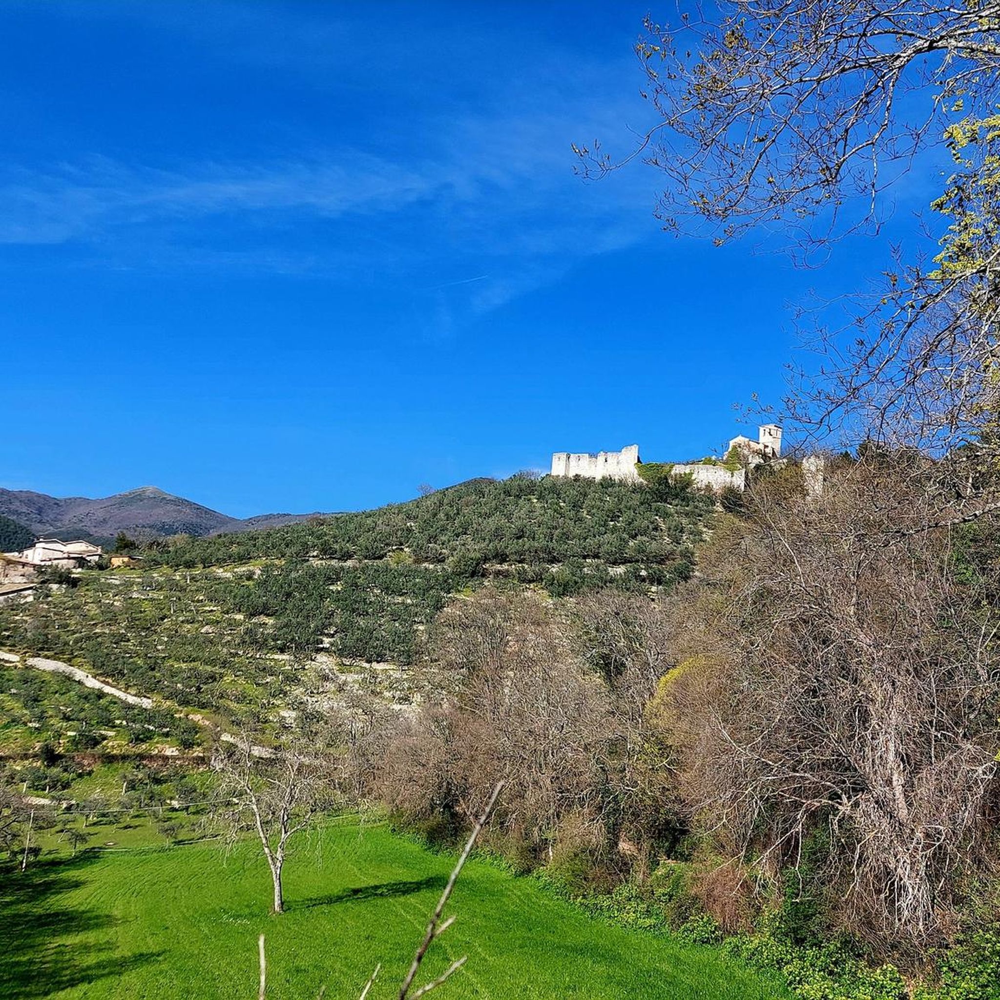
Stay at the B&B Le Torrette for this view, or just go for an evening walk.
0
0

Beautiful long climb from the valley
2
0

Old village of Valle di Nera
0
0

Beautiful excursion especially if done through the Pettino ring passing through the beech forest!
0
0

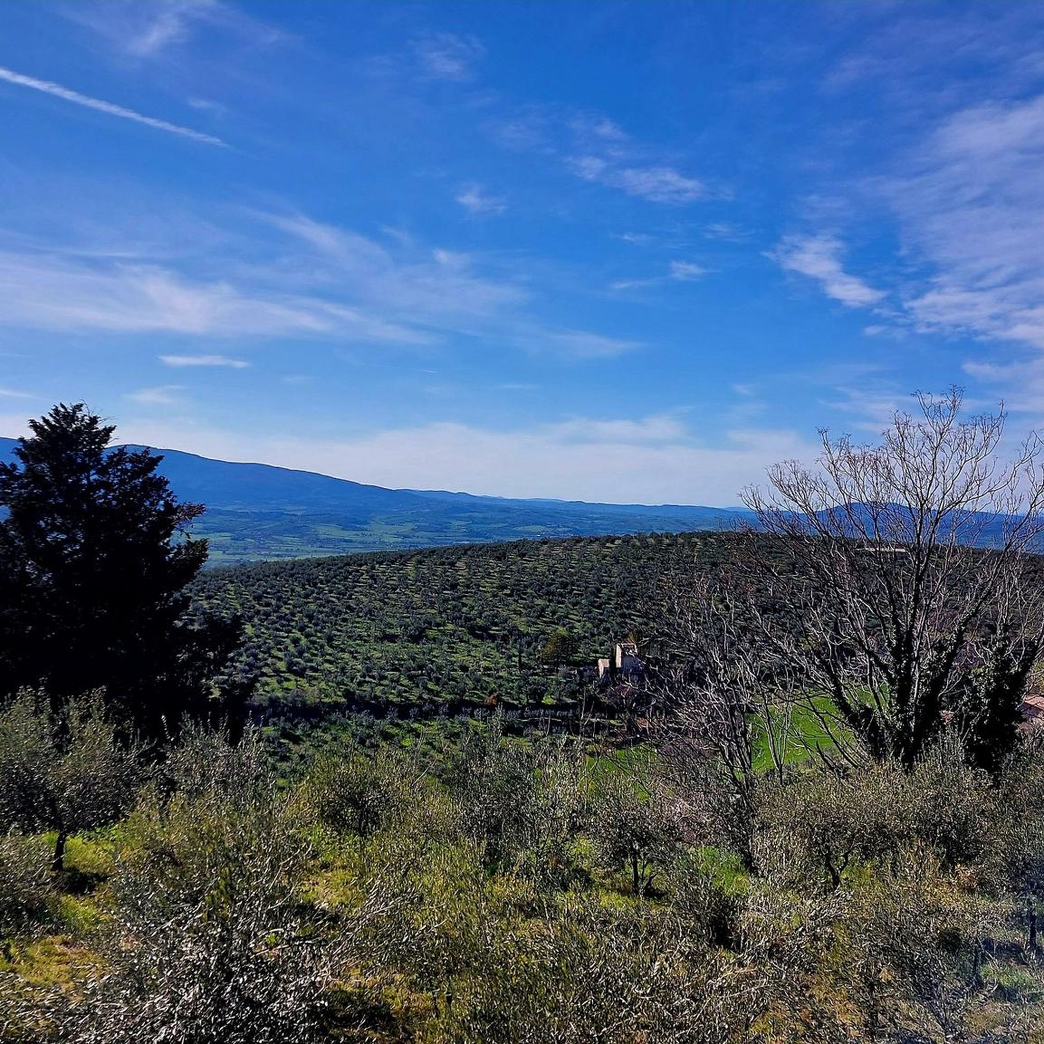
Remaining on the coast thanks to continuous ups and downs, this road near Pettino offers a splendid view of the Umbrian valleys below, from Spoleto and Montefalco.
2
0


a corner of the Middle Ages a stone's throw from the route of the old Spoleto Norcia railway. A tiny village stopped in time, an example of post-earthquake reconstruction ...
0
0

The climb that leads to Pettino is 12 km long with an average gradient of 6.6, the hardest part is a drittone that meets in the last 4 km of the climb, in this drittone the slope is constant around 13/14% and 1.5 km long , then the climb becomes softer and when you see the antennas you understand that it is almost over
2
0
Frequently Asked Questions
How many hiking trails are available in Fosso Di Camposolo?
Fosso Di Camposolo offers a diverse network of over 35 hiking trails. These routes traverse the Umbrian landscape, featuring rolling hills, historic villages, and forested areas, catering to various skill levels.
Are there easy hiking trails suitable for beginners in Fosso Di Camposolo?
Yes, Fosso Di Camposolo has 3 easy hiking trails perfect for beginners or those seeking a more relaxed walk. These routes typically feature gentler terrain through rural roads and natural paths.
What are the typical lengths of hiking trails in Fosso Di Camposolo?
The hiking trails in Fosso Di Camposolo vary in length. For example, popular routes range from approximately 5.4 miles (8.6 km) like the View of Campello Alto loop from Campello sul Clitunno, up to 7.8 miles (12.6 km) for trails such as the Scenic Road to Pettino – Monte Brunette Summit loop from Pettino. There are options for shorter and longer excursions.
Is parking available near the trailheads in Fosso Di Camposolo?
While specific parking information for each trailhead isn't always detailed, many routes in Fosso Di Camposolo start from or pass through villages like Vallo di Nera or Pettino. It's generally possible to find parking in or near these settlements, especially in designated areas or along rural roads.
Are there family-friendly hiking options in Fosso Di Camposolo?
Yes, many of the easier trails in Fosso Di Camposolo are suitable for families. These routes often feature moderate elevation changes and pass through charming villages or scenic forested areas, providing an enjoyable experience for all ages. Look for trails marked as 'easy' in the guide.
Can I hike with my dog in Fosso Di Camposolo?
Generally, dogs are welcome on hiking trails in Fosso Di Camposolo. It's always recommended to keep your dog on a leash, especially when passing through villages or near livestock, and to carry water for both yourself and your pet. Please be mindful of local regulations.
What is the best time of year to hike in Fosso Di Camposolo?
The best time to hike in Fosso Di Camposolo is typically during spring (April-June) and autumn (September-October). During these seasons, the weather is mild, and the landscapes are particularly beautiful with blooming wildflowers or vibrant fall foliage. Summer can be hot, while winter may bring cooler temperatures and occasional snow at higher elevations.
Are there any circular walks in Fosso Di Camposolo?
Yes, many of the hiking routes in Fosso Di Camposolo are designed as circular walks, allowing you to start and end at the same point. Examples include the Eremo di Sant'Antonio – Vallo di Nera Historic Village loop from Vallo di Nera and the Scenic Road to Pettino loop from Pettino.
What kind of views can I expect on hikes in Fosso Di Camposolo?
Hikes in Fosso Di Camposolo offer diverse views, ranging from panoramic vistas of the Umbrian countryside to intimate forest scenes. Many trails ascend to scenic viewpoints, providing expansive outlooks over rolling hills, historic villages, and valleys. The Scenic Road to Pettino – Monte Brunette Summit loop from Pettino is known for its impressive views.
What do other hikers enjoy most about hiking in Fosso Di Camposolo?
The hiking experience in Fosso Di Camposolo is highly rated by the komoot community, with an average score of 4.3 stars from over 250 reviews. Hikers often praise the region's blend of natural beauty and cultural heritage, highlighting the charm of historic villages, the tranquility of forested paths, and the rewarding scenic views.
Are there any challenging hikes for experienced trekkers in Fosso Di Camposolo?
Yes, for more experienced trekkers, Fosso Di Camposolo offers 8 difficult routes. These trails typically feature more significant elevation gains and cover longer distances, providing a greater challenge and often leading to more remote or higher vantage points. An example of a moderate to challenging route is the Rifugio Casale Il Piano – Vallo di Nera Historic Village loop from Vallo di Nera, which includes substantial elevation changes.
Most popular routes in Fosso Di Camposolo

Get inspired with the komoot mobile app


Explore more
Browse the best Hikes in other regions.
