The best running trails in Monte Lo Spicchio - Monte Columeo - Valle Di S. Pietro
4.7
(7)
397
runners
35
runs
Jogging in Monte Lo Spicchio - Monte Columeo - Valle Di S. Pietro offers a variety of routes through hilly and mountainous terrain. The region is characterized by its elevated landscapes, including Monte Lo Spicchio and Monte Columeo, which provide significant elevation changes for runners. Trails often navigate through valleys and offer panoramic views, making for challenging yet rewarding running experiences.
Best jogging routes in Monte Lo Spicchio - Monte Columeo - Valle Di S. Pietro
- The most popular jogging…
Last updated: May 27, 2026
4.75km
00:40
180m
180m
This difficult 3.0-mile (4.7 km) jogging loop in Parco del Monte Cucco offers panoramic views and varied terrain, gaining 602 feet.
8
runners
17.1km
03:09
1,040m
1,040m
Hard run. Very good fitness required. Sure-footedness, sturdy shoes and alpine experience required.

Sign up for free
6
runners
10.7km
01:47
700m
700m
Hard run. Very good fitness required. Sure-footedness, sturdy shoes and alpine experience required.
11
runners
18.9km
03:03
1,120m
1,120m
Hard run. Very good fitness required. Sure-footedness, sturdy shoes and alpine experience required.
5.0
(1)
3
runners
6.17km
00:40
80m
80m
Moderate run. Good fitness required. Mostly paved surfaces. Suitable for all skill levels.
Get access to more routes and recommendations from other explorers.
Sign up for free
Already have an account?
Our route recommendations are based on thousands of hikes, rides, and runs completed by other people on komoot.
Start today with a free account
Your next adventure awaits.
Login or Signup
Popular around Monte Lo Spicchio - Monte Columeo - Valle Di S. Pietro
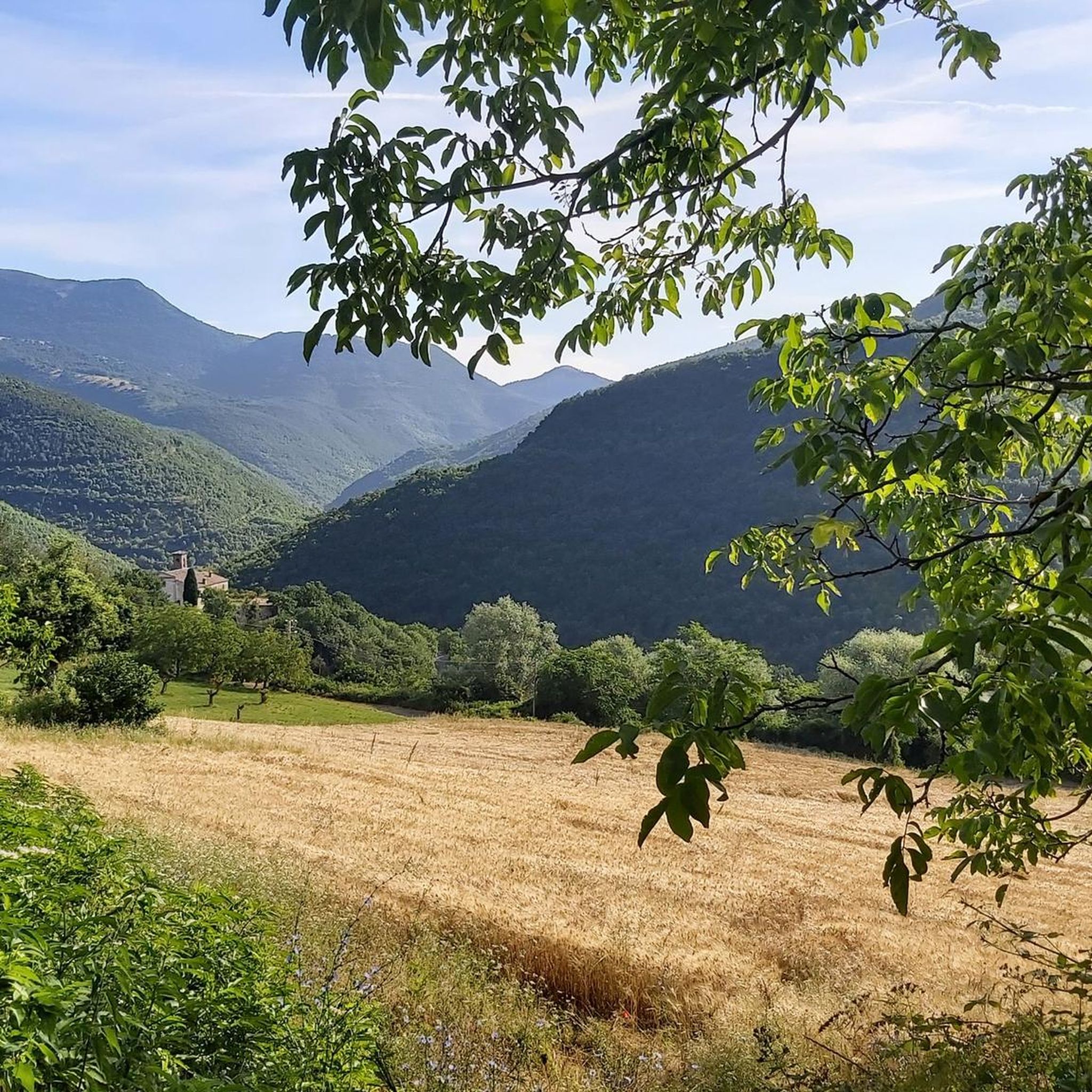
Hiking in Monte Lo Spicchio - Monte Columeo - Valle Di S. Pietro
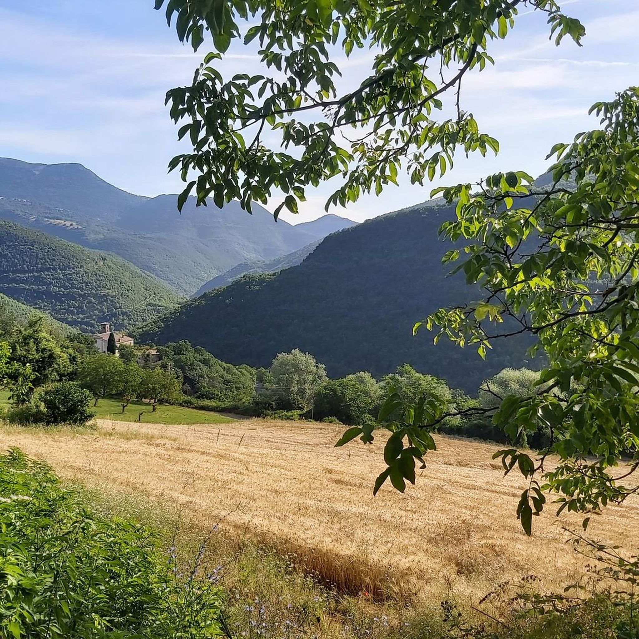
MTB Trails in Monte Lo Spicchio - Monte Columeo - Valle Di S. Pietro
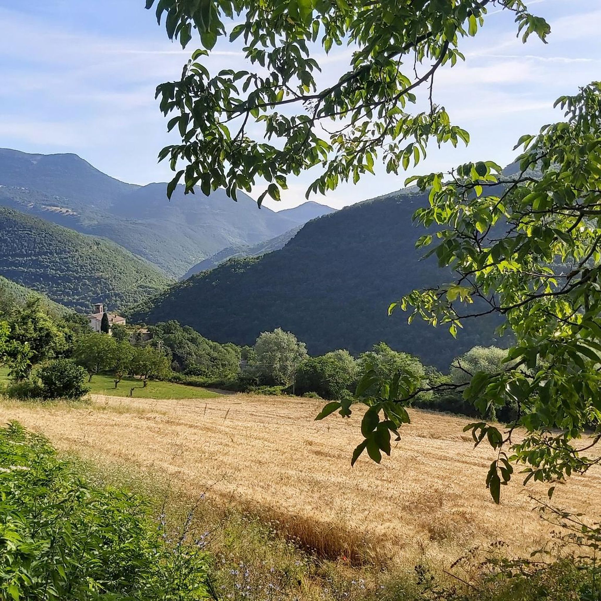
Road Cycling Routes in Monte Lo Spicchio - Monte Columeo - Valle Di S. Pietro
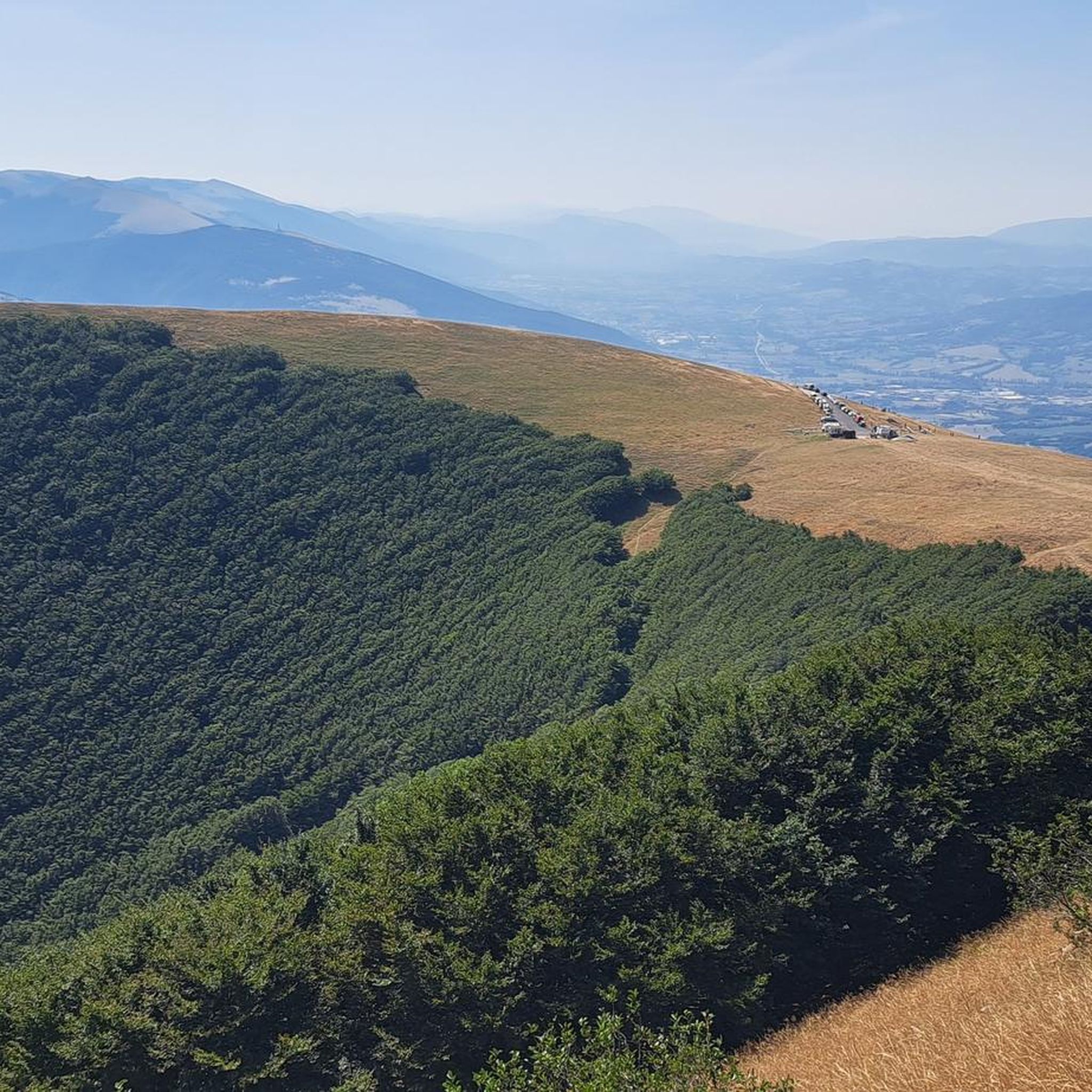
Cycling in Monte Lo Spicchio - Monte Columeo - Valle Di S. Pietro

Gravel biking in Monte Lo Spicchio - Monte Columeo - Valle Di S. Pietro
Tips from the Community

Sigillo is a small Umbrian village at the foot of Mount Cucco. In June, you can witness the characteristic Infiortata, an event in which local artists (and others) create magnificent paintings with flower petals along the village streets.
0
0

What can I say, simply fantastic.
0
0

Montelle Spicchio. On Thursday 19 June we walked this walk. Beautiful varied route. We found the route quite difficult. We walked the route counterclockwise. After the top there were two moments that require attention. One is that there was so much vegetation hanging over the path a few times that you really had to keep an eye on the path. So pay attention to the ground. At the second moment we missed a turn to the left and ended up in dead-end bushes. Anyway, pay attention. This is not a route that can be walked blindly.
0
0

there is a thrilling view!
0
0

Monte Cucco is not only its peak... The natural park of Monte Cucco includes all the surrounding territory from its base, high plains and beautiful peak. This territory offers an infinite number of paths to travel on foot, by bike or even on horseback. This mountain is also very popular with those who love flying with paragliding or hang gliding. But it does not end here... Canyoning in the Rio Freddo gorge, camping, speleology etc... Also worth visiting inside its belly, the Monte Cucco cave. An oasis for fauna and flora and for people who love nature. The peak is one of the highest in the area. Have fun!
0
0

path 225 which enters the beech forest of Val di Ranco, a simple route to follow in the cool of the trees.
0
0

Very panoramic peak and relatively easy to reach. I recommend climbing from the south, you gradually gain altitude, increasing the view of the Umbrian landscape.
0
0
Frequently Asked Questions
How many running routes are available in Monte Lo Spicchio - Monte Columeo - Valle Di S. Pietro?
There are over 20 running routes available for you to explore in Monte Lo Spicchio - Monte Columeo - Valle Di S. Pietro, offering a diverse range of experiences for runners.
What is the overall difficulty level of running trails in this region?
The running trails in Monte Lo Spicchio - Monte Columeo - Valle Di S. Pietro are predominantly challenging. The region features 8 moderate and 16 difficult routes, characterized by significant elevation changes and varied terrain, making them suitable for runners seeking a physical challenge.
Are there any circular running routes in Monte Lo Spicchio - Monte Columeo - Valle Di S. Pietro?
Yes, many of the running routes in the region are circular. For example, the Monte Culumeo Loop Trail is a popular 4.7 km difficult loop. Another option is the longer View from Monte Culumeo – Panoramic View of Monte Cucco loop from Val di Ranco, which offers extensive panoramic views.
What kind of scenic attractions can I expect along the running routes?
The running routes in Monte Lo Spicchio - Monte Columeo - Valle Di S. Pietro offer numerous scenic attractions. You can encounter natural monuments like the beautiful San Pietro Waterfall, reach summits such as Monte Culumeo, and enjoy breathtaking vistas from viewpoints like View of Monte lo Spicchio and Monte Columeo.
Are there any beginner-friendly running paths in Valle Di S. Pietro?
The region of Monte Lo Spicchio - Monte Columeo - Valle Di S. Pietro is characterized by hilly and mountainous terrain, meaning most routes involve significant elevation gain and are rated as moderate to difficult. There are currently no routes specifically classified as 'easy' for beginners in our selection, but some moderate routes might be suitable for those looking to gradually increase their challenge.
What do other runners say about the trails in Monte Lo Spicchio - Monte Columeo - Valle Di S. Pietro?
The running trails in this region are highly rated by the komoot community, with an average score of 4.1 stars from over 10 reviews. Runners often praise the challenging ascents, scenic valleys, and panoramic viewpoints that define the experience here.
Are the running trails in Monte Lo Spicchio - Monte Columeo suitable for dogs?
While specific regulations for dogs on every trail can vary, generally, the natural and often remote trails in Monte Lo Spicchio - Monte Columeo are suitable for well-behaved dogs on a leash. Always ensure your dog is accustomed to longer distances and elevation changes, and carry enough water for both of you.
What is the best season for running in Monte Columeo?
The best season for running in Monte Columeo is typically spring and autumn. During these times, the temperatures are milder, and the natural scenery is particularly vibrant. Summer can be hot, especially at midday, while winter may present challenges with snow and ice at higher elevations.
Are there any longer, more challenging running routes for experienced athletes?
Absolutely. For experienced runners seeking a significant challenge, the Il Vergatoio – Monte la Croce loop from Val di Ranco is a difficult 16.8 km trail with over 1000 meters of elevation gain, typically completed in about 3 hours 30 minutes. Another demanding option is the Pian delle Macinare – Costacciaro loop from Costacciaro, a 17.2 km difficult route.
Are there any running routes that pass through villages or offer places to explore?
Yes, some routes offer glimpses of local life or pass near interesting settlements. For instance, you might encounter the charming Piaggiasecca Village, which can be a point of interest during your run. The region's trails often connect natural beauty with historical elements.
How long does it take to complete a typical running route in Valle Di S. Pietro?
The duration of running routes in Valle Di S. Pietro varies significantly based on distance and difficulty. Shorter, difficult loops like the Monte Culumeo Loop Trail (4.7 km) can take around 40 minutes, while longer, more challenging paths such as the La Scarpa Pathway loop from Pascelupo (10.9 km) might require over 1 hour 45 minutes.
Most popular routes in Monte Lo Spicchio - Monte Columeo - Valle Di S. Pietro
Most popular attractions in Monte Lo Spicchio - Monte Columeo - Valle Di S. Pietro

Get inspired with the komoot mobile app


Explore more
Browse the best Running Trails & Routes in other regions.
