The best road cycling routes in Monte Lo Spicchio - Monte Columeo - Valle Di S. Pietro
4.4
(24)
1,034
riders
24
rides
Road cycling routes in Monte Lo Spicchio - Monte Columeo - Valle Di S. Pietro traverse a varied landscape characterized by rolling hills, deep gorges, and elevated passes. The region offers a mix of challenging ascents and scenic descents, often winding through forested areas and open valleys. Road cyclists can expect routes that navigate through natural parks, connecting small towns with panoramic viewpoints. The terrain is well-suited for those seeking diverse road cycling experiences.
Best road cycling routes in Monte…
Last updated: July 8, 2026
5.0
(5)
38
riders
69.1km
03:10
810m
810m
Moderate road ride. Good fitness required. Mostly well-paved surfaces and easy to ride.
32
riders
60.2km
02:58
900m
900m
Hard road ride. Very good fitness required. Mostly well-paved surfaces and easy to ride.

Sign up for free
5
riders
18.7km
01:25
710m
710m
Moderate road ride. Good fitness required. Mostly well-paved surfaces and easy to ride.
5.0
(1)
7
riders
35.1km
02:16
850m
840m
Moderate road ride. Good fitness required. Some segments of this route may be unpaved and difficult to ride.
4
riders
27.1km
01:34
390m
390m
Moderate road ride. Good fitness required. Some segments of this route may be unpaved and difficult to ride.
Get access to more routes and recommendations from other explorers.
Sign up for free
Already have an account?
Our route recommendations are based on thousands of hikes, rides, and runs completed by other people on komoot.
Start today with a free account
Your next adventure awaits.
Login or Signup
Popular around Monte Lo Spicchio - Monte Columeo - Valle Di S. Pietro
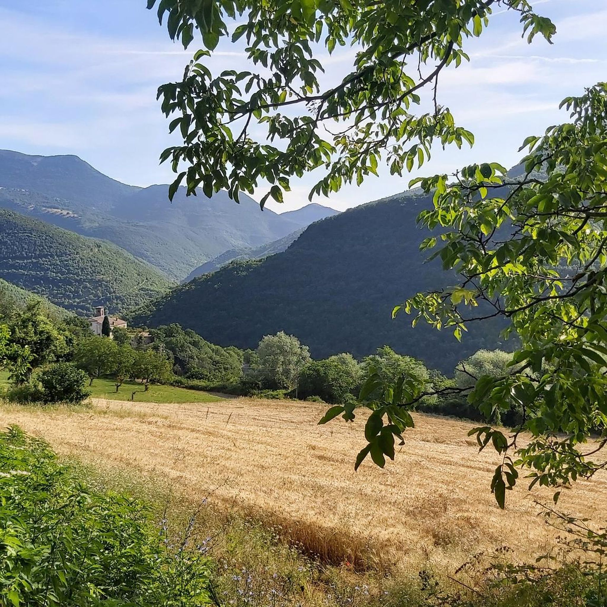
Hiking in Monte Lo Spicchio - Monte Columeo - Valle Di S. Pietro
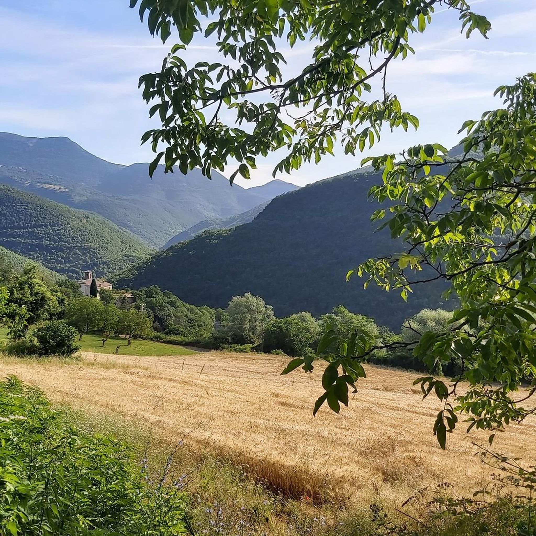
MTB Trails in Monte Lo Spicchio - Monte Columeo - Valle Di S. Pietro
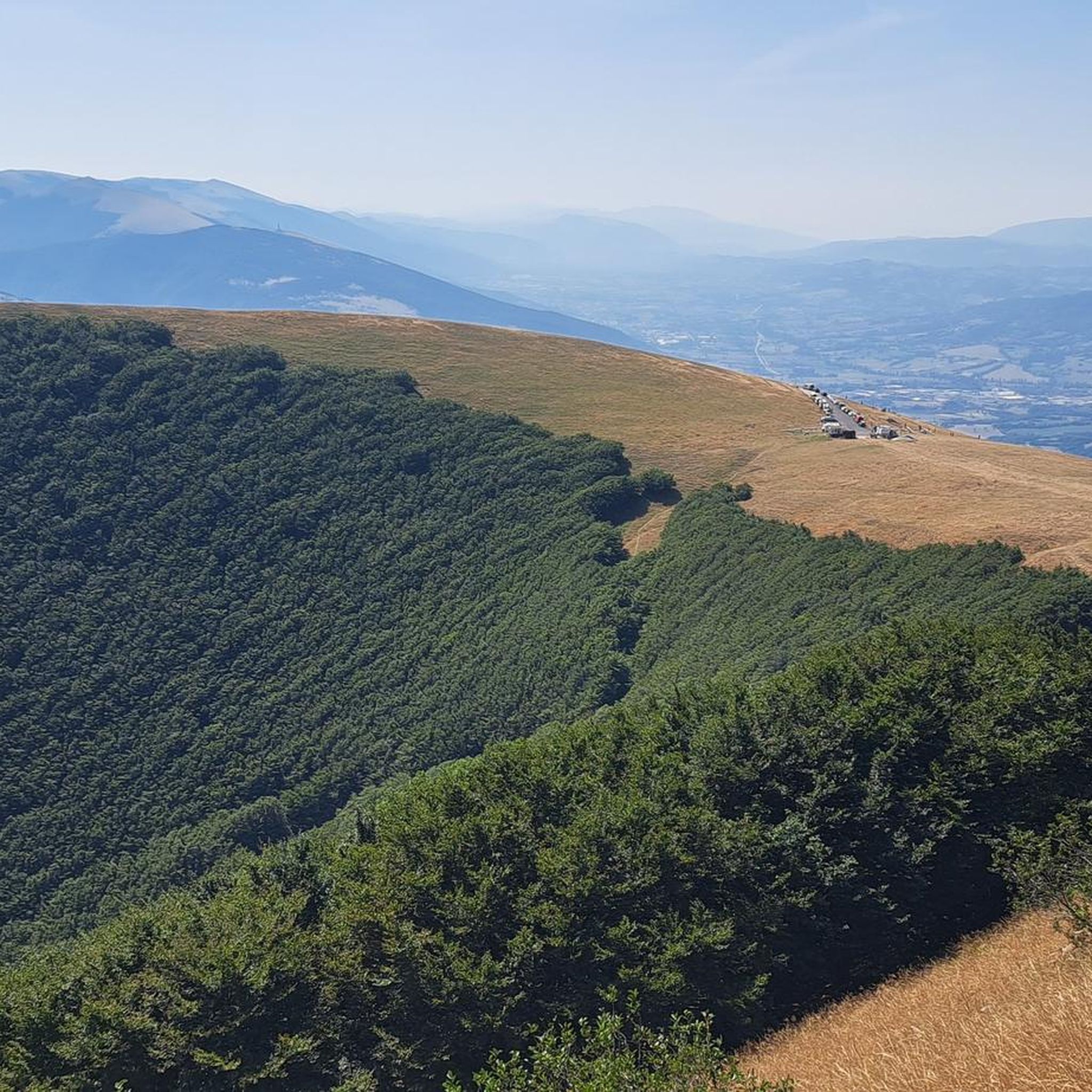
Cycling in Monte Lo Spicchio - Monte Columeo - Valle Di S. Pietro
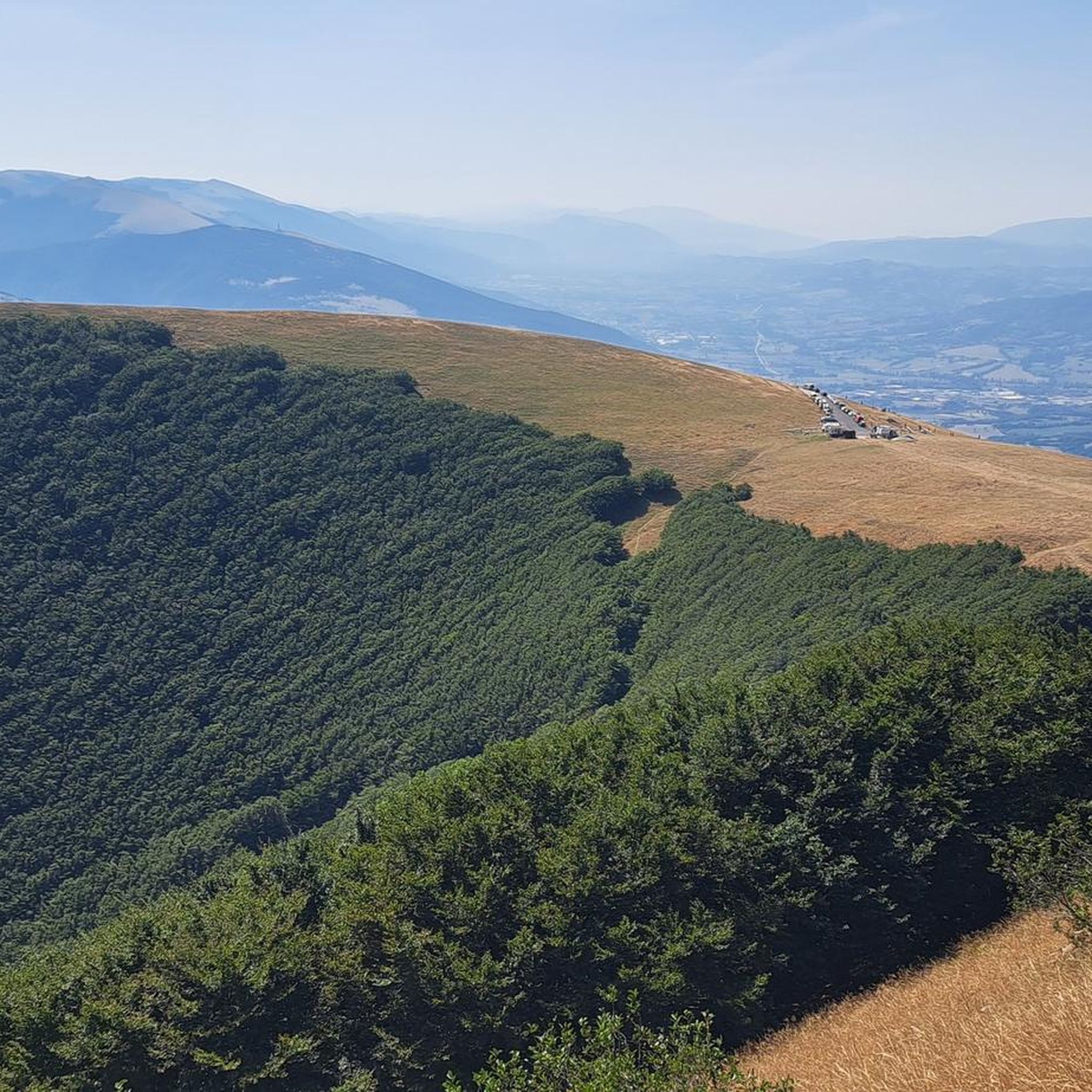
Running Trails in Monte Lo Spicchio - Monte Columeo - Valle Di S. Pietro

Gravel biking in Monte Lo Spicchio - Monte Columeo - Valle Di S. Pietro
Tips from the Community

Sigillo is a small Umbrian village at the foot of Mount Cucco. In June, you can witness the characteristic Infiortata, an event in which local artists (and others) create magnificent paintings with flower petals along the village streets.
0
0

The climb up Monte Cucco from Sigillo allows us to immediately see the summit. It's a beautiful climb, with sections reaching 14% (in a few places), while the rest consists of long stretches of road that take us to an altitude of about 1,200 meters. The unique landscape and view make up for the effort (be careful, the wind up here can be quite strong).
0
0

great place to start for excursions and flights!
1
0
suggestion? explore it all! trails, caves, flying, on horseback, by mountain bike or on foot. Explore it all it's wonderful
0
0

The Sentinum archaeological park contains the ruins of the ancient Roman city of Sentinum. The name of the town derives from the battle of Sentino (295 BC) which saw the Romans victorious over the Italic coalition formed by the Senones Gauls and the Samnites. This victory allowed the conquest of the territories of the Middle Adriatic. Today the remains of the city of Sentinum are still visible, but they only partially occupy the territory in which the ancient town extended.
2
0
Sulla bellissima strada di fondovalle che si snoda come un serpente ci si diverte davvero percorrendola, né troppo lento né troppo veloce; così facendo sì assapora davvero con piacere lo spostamento spazio/tempo.
0
0
The barrel bridge called the shard bridge was built in 1806, destroyed during the Second World War by the Germans and rebuilt in the same way in 1946. Previously, the Via Flaminia passed lower down, in the group of houses of Fiume, where there was a station for changing horses. From here you can see an enchanting landscape on the cliff below.
0
0

You can find more information and book the tours here: https://www.grottamontecucco.umbria.it/en/cave-activity/excursions/ I can recommend the “Crossing Route”.
1
0
Frequently Asked Questions
How many road cycling routes are available in Monte Lo Spicchio - Monte Columeo - Valle Di S. Pietro?
The region offers over 20 road cycling routes, providing a diverse range of options for cyclists of all levels.
Are there road cycling routes suitable for beginners in this area?
While most routes are moderate to difficult, there is at least one easy route available. Many of the moderate routes can also be enjoyed by less experienced cyclists looking for a bit more challenge, often featuring scenic valley roads.
Where can I find challenging road cycling routes with significant climbs?
For challenging ascents, routes like the Monte Petrano Summit – Costacciaro loop from Costacciaro offer substantial elevation gain, leading through mountainous terrain. Another difficult option is the Costacciaro loop from Borghetto.
What are the best times of year for road cycling in Monte Lo Spicchio - Monte Columeo - Valle Di S. Pietro?
The region is characterized by rolling hills and elevated passes, making spring and autumn ideal for road cycling. During these seasons, temperatures are generally milder, and the natural scenery is particularly vibrant or colorful. Summer can also be pleasant, especially at higher elevations, but be prepared for warmer conditions in the valleys.
Are there any loop road cycling trails in the Monte Columeo area?
Yes, many routes in the region are designed as loops. For example, the Madonna della Cima Pass – Costacciaro loop from Sigillo offers expansive views and is a popular choice. Another option is the Gola del Corno – Costacciaro loop from Sigillo, which takes you through a scenic gorge.
What kind of gear is recommended for road biking in Valle Di S. Pietro?
Given the varied terrain with challenging ascents and descents, a well-maintained road bike with appropriate gearing is essential. Helmets are mandatory, and comfortable cycling apparel, including padded shorts, is highly recommended. Always carry water, snacks, a repair kit, and navigation tools.
What scenic viewpoints can I expect along the road cycling routes?
The region is rich in panoramic vistas. Routes often lead to elevated passes and summits offering breathtaking views. Highlights include the View of Monte lo Spicchio and Monte Columeo and the View of the Hermitage of San Girolamo. The Madonna della Cima Pass – Costacciaro loop from Sigillo specifically includes ascents to Madonna della Cima Pass, known for its expansive views.
Are there any natural attractions or landmarks to see along the road cycling routes?
Yes, the routes often pass by significant natural monuments and points of interest. You might encounter the beautiful San Pietro Waterfall or reach summits like Monte Culumeo and Monte Testagrossa and Montarone. The Gola del Corno – Costacciaro loop from Sigillo takes you through the impressive Gola del Corno gorge.
What do other road cyclists enjoy the most about road cycling in Monte Lo Spicchio - Monte Columeo - Valle Di S. Pietro?
The area is highly rated by the komoot community, with an average score of 4.1 stars from over 40 reviews. Cyclists frequently praise the diverse terrain, which combines challenging ascents with scenic valley roads and mountain passes, as well as the natural beauty of the forested areas and panoramic viewpoints.
Are there any hidden gem road bike trails in the Valle Di S. Pietro area?
While specific 'hidden gems' are often discovered through local exploration, routes that venture into less-traveled sections of natural parks or connect smaller towns can offer a unique experience away from more popular paths. The Gola del Bottaccione – Gualdo Tadino loop from Località Capo d'Acqua is a moderate route that explores a different part of the region.
Are there any family-friendly road cycling routes in Monte Lo Spicchio - Monte Columeo - Valle Di S. Pietro?
The region's road cycling routes are generally characterized by rolling hills and challenging ascents, making them more suitable for experienced cyclists. However, families with older children who are comfortable with moderate distances and some elevation gain might enjoy sections of the less strenuous routes. Always check the route profile for elevation and distance before setting out.
What kind of terrain can I expect on road cycling routes in this region?
Road cycling routes in Monte Lo Spicchio - Monte Columeo - Valle Di S. Pietro traverse a varied landscape. You can expect rolling hills, deep gorges, and elevated passes. Routes often wind through forested areas and open valleys, offering a mix of challenging ascents and scenic descents.
Most popular routes in Monte Lo Spicchio - Monte Columeo - Valle Di S. Pietro
Most popular attractions in Monte Lo Spicchio - Monte Columeo - Valle Di S. Pietro

Get inspired with the komoot mobile app


Explore more
Browse the best Road cycling routes in other regions.
