The best running trails in Riserva Naturale Boschi Del Giovetto Di Paline
4.5
(31)
2,999
runners
185
runs
Jogging in Riserva Naturale Boschi Del Giovetto Di Paline offers diverse landscapes, with routes winding through extensive coniferous forests and open meadows. The terrain features altitudes ranging from 1,000 to 1,950 meters, characterized by rounded hills and gentle slopes. This nature reserve, situated in the Lombardy region of Italy, spans approximately 597 to 650 hectares. The dense forests provide a shaded environment ideal for running, especially during warmer months.
Best jogging routes in Riserva Naturale Boschi Del Giovetto Di Paline
…Last updated: July 6, 2026
125
runners
34.4km
05:06
1,580m
1,580m
Hard run. Very good fitness required. Sure-footedness, sturdy shoes and alpine experience required.
16
runners
Hard run. Good fitness required. Sure-footedness, sturdy shoes and alpine experience required.

Sign up for free
11
runners
8.83km
01:12
330m
330m
Hard run. Very good fitness required. Mostly paved surfaces. Suitable for all skill levels.
14
runners
Hard run. Very good fitness required. Sure-footedness, sturdy shoes and alpine experience required.
16
runners
Moderate run. Good fitness required. Mostly paved surfaces. Suitable for all skill levels.
Get access to more routes and recommendations from other explorers.
Sign up for free
Already have an account?
Our route recommendations are based on thousands of hikes, rides, and runs completed by other people on komoot.
Start today with a free account
Your next adventure awaits.
Login or Signup
Popular around Riserva Naturale Boschi Del Giovetto Di Paline
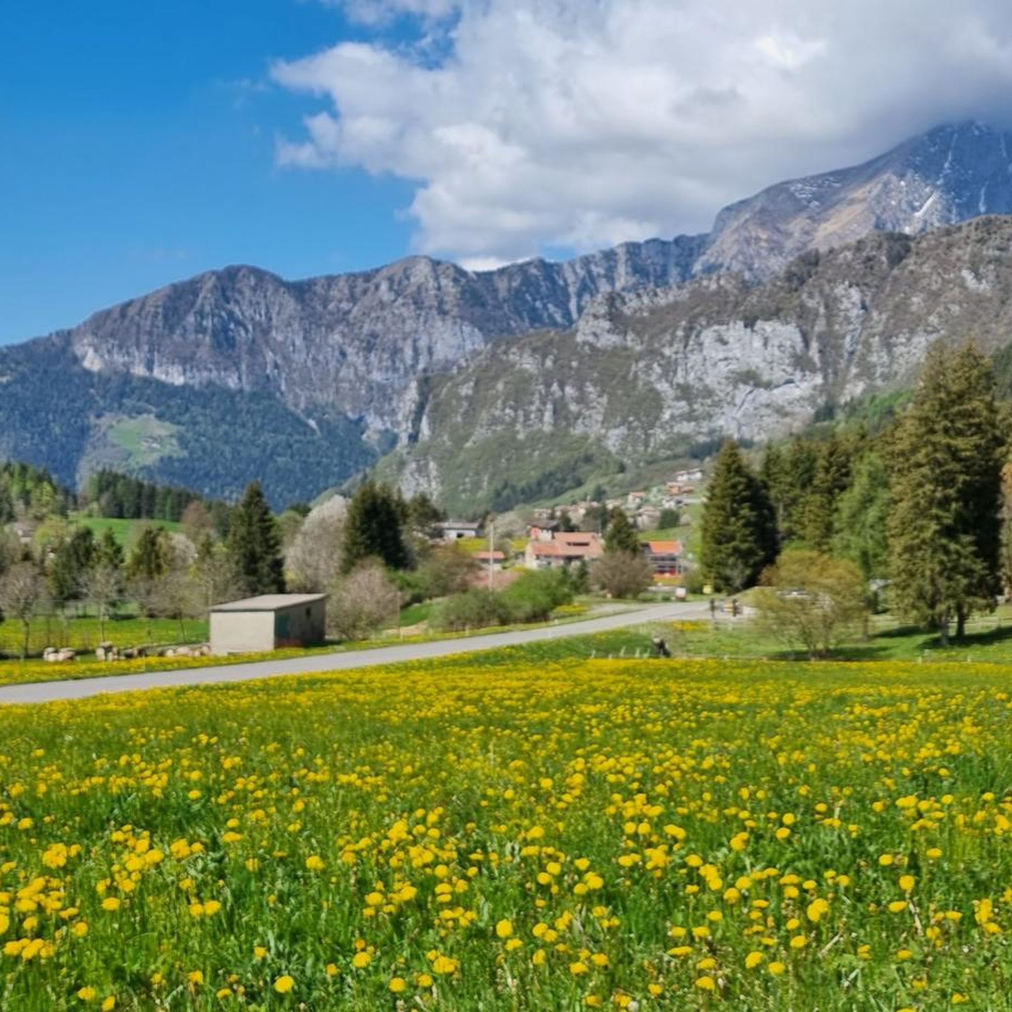
Hiking in Riserva Naturale Boschi Del Giovetto Di Paline
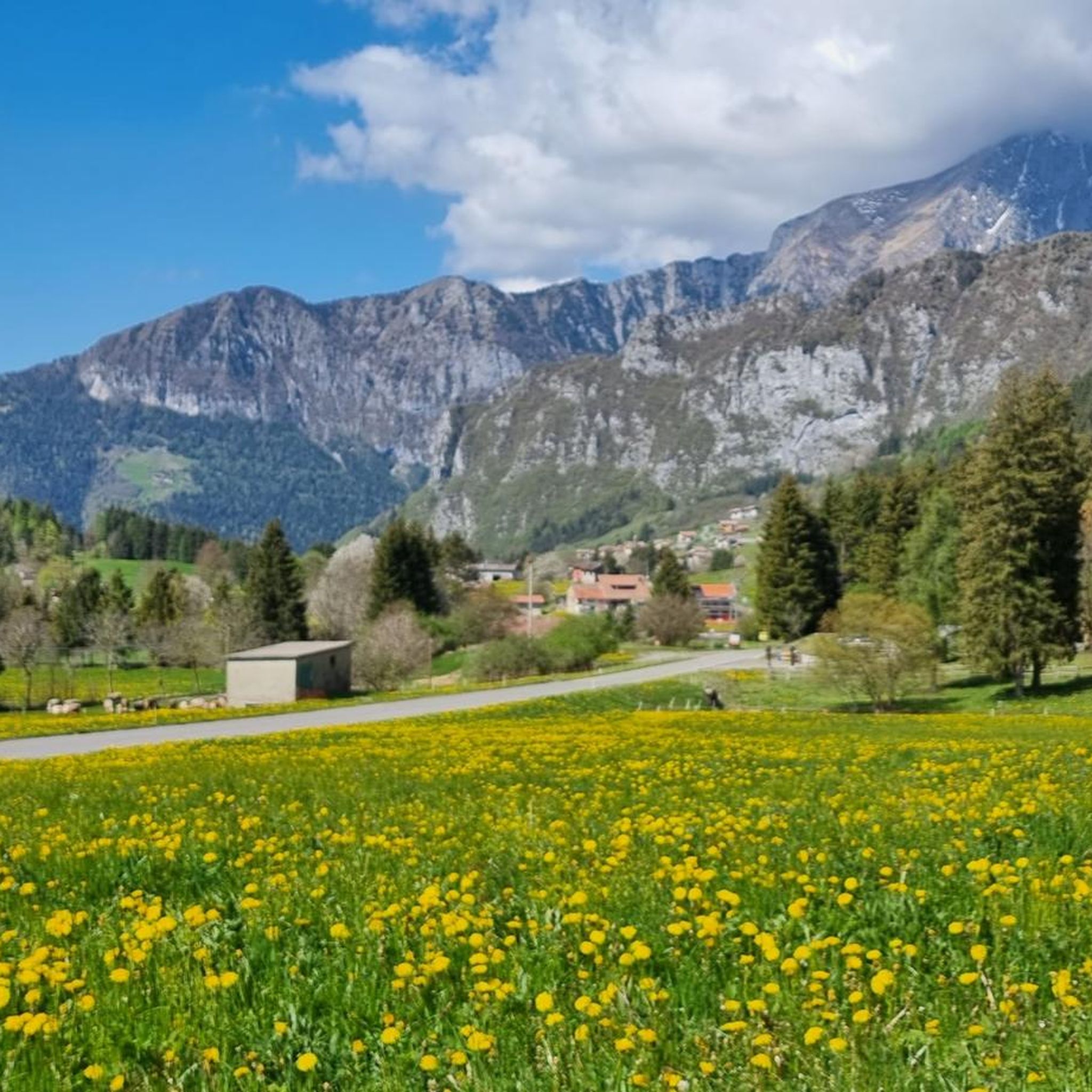
Cycling in Riserva Naturale Boschi Del Giovetto Di Paline
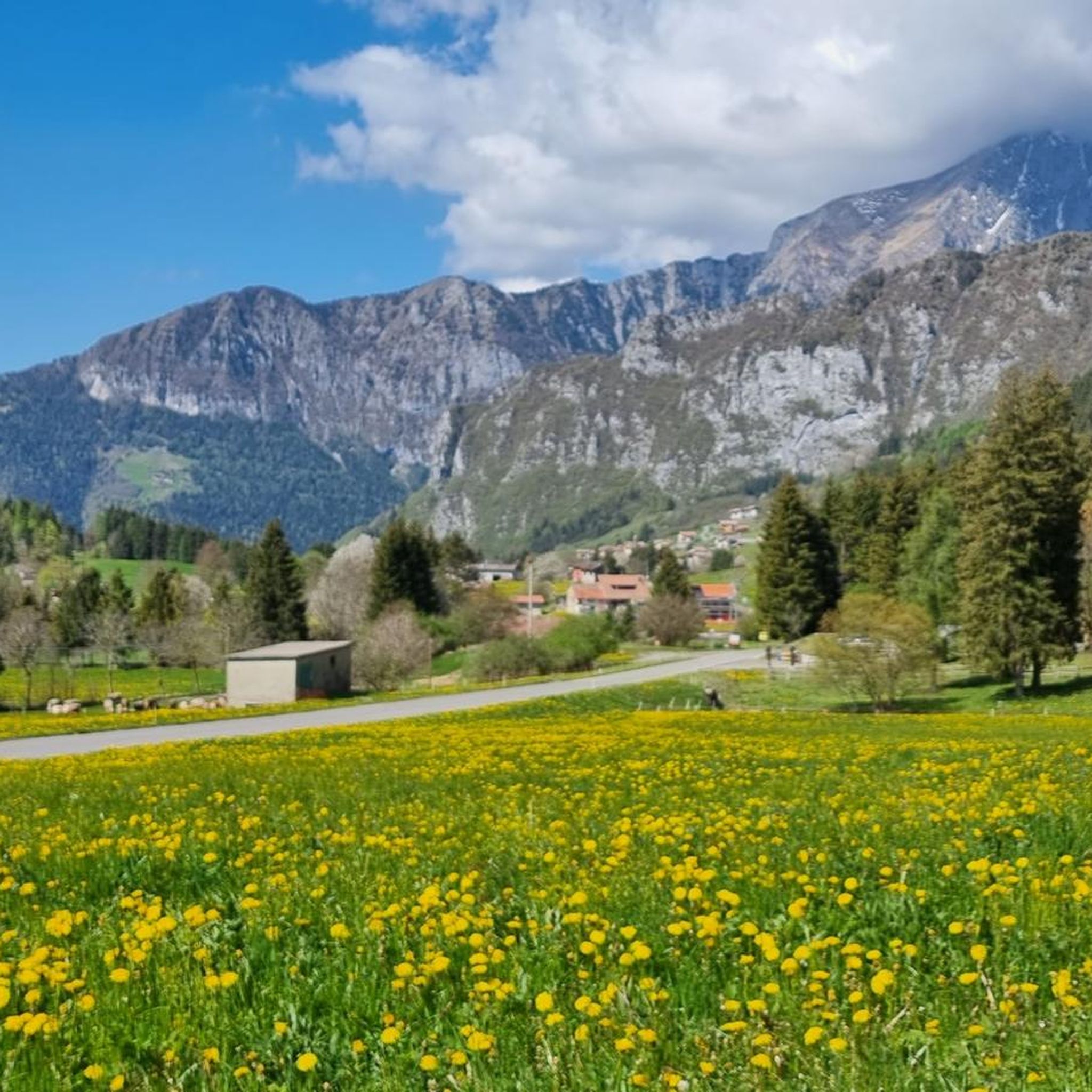
MTB Trails in Riserva Naturale Boschi Del Giovetto Di Paline
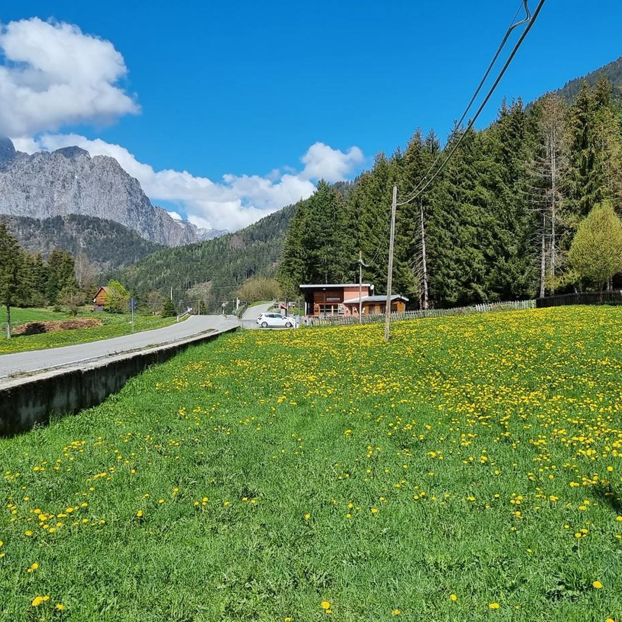
Road Cycling Routes in Riserva Naturale Boschi Del Giovetto Di Paline

Gravel biking in Riserva Naturale Boschi Del Giovetto Di Paline

Mountain Hikes in Riserva Naturale Boschi Del Giovetto Di Paline
Tips from the Community

The Rifugio Colonnello Ferruccio Lorenzini is one of the most characteristic points of the Borno–Ossimo plateau, located in the splendid Pratolungo meadow basin at 1478 m. Sources agree on three fundamental aspects: location, partisan history, hiking function. 🏔️ Hut identity The hut stands in the center of a large panoramic pasture with a direct view of Monte Altissimo. It was created from the renovation of the old Malga Pratolungo in 2005, maintaining a simple character deeply connected to the territory. Next to the building, you will find: a cross, an altar, a commemorative stone dedicated to the Camunian Resistance. There is also a permanently open room, the Bivacco Praccatolungo, with a fireplace, tables, and benches. 🕊️ Why it is dedicated to Colonel Ferruccio Lorenzini The hut commemorates Lieutenant Colonel Ferruccio Lorenzini, a partisan commander active between Val Camonica, Val Trompia, and Lake Iseo. Historical sources report that: on December 8, 1943, his group was surrounded by the Black Brigades at the Pratolungo farmsteads; five partisans died in the clash and fourteen were captured; Lorenzini was shot on January 1, 1944, along with other comrades. The stone next to the hut commemorates this very episode. 🚶♂️ How to reach it From Croce di Salven (most common route) Parking lot just before the pass. Take Via Valsorda following trail no. 6. Cross Val Sorda, passing through pools and clearings. Arrive at Pratolungo and the hut in about 1h30'. From Mazzunno (Angolo Terme) – long route Climb towards Prave and then enter Val Sorda. Cross trail no. 6 and reach Pratolungo in about 3h30'. From Malga Guccione Direct and panoramic connection, often used in loops towards Monte Altissimo. 🌿 Environment and atmosphere The Pratolungo area is described as: wide and bright, surrounded by pastures and fir woods, rich in clearings and pools typical of the plateau, perfect as an intermediate stop to ascend Monte Altissimo or for loop tours.
0
0

A place of haunting beauty, steeped in history and memories. Walking at the foot of the Gleno Dam is a deeply moving experience. In my video, I recount the history and emotion of this place. Watch it for the full adventure: https://youtu.be/xOmoTKIHDm0
1
0

A very pleasant climb from Val di Scalve to Borno. Beautiful and not particularly challenging. 😊
2
0

There are picnic tables and 2 barbecue places
0
0
wonderful place but better to avoid crowded periods
0
0


This picnic area with a fountain is ideal for refilling water bottles and stopping for a sandwich.
0
0
Frequently Asked Questions
How many running routes are available in Riserva Naturale Boschi Del Giovetto Di Paline?
There are over 150 running routes available in Riserva Naturale Boschi Del Giovetto Di Paline, catering to various fitness levels. You'll find a mix of easy, moderate, and challenging trails.
What kind of terrain can I expect on the jogging trails in Riserva Naturale Boschi Del Giovetto Di Paline?
The terrain in Riserva Naturale Boschi Del Giovetto Di Paline is quite diverse. You'll primarily run through extensive coniferous forests, with sections of larch at higher elevations and beech in lower areas. Interspersed are open meadows and pastures. The landscape features rounded hills and gentle slopes, with altitudes ranging from 1,000 to 1,900 meters, offering varied but generally runnable paths.
Are there any easy jogging routes suitable for beginners in the reserve?
Yes, while many routes are challenging, there are several comfortable and easy paths suitable for beginners or those looking for a more relaxed run. These often feature moderate elevation gains, making them enjoyable without being overly strenuous.
What are some notable natural features or landmarks I might see while running?
While jogging, you'll encounter dense coniferous forests and open meadows. A unique feature of the reserve is the protection of the Formica rufa (red wood ant), and you can often spot their distinctive, large dome-shaped nests. Some trails also offer glimpses of historical elements like an ancient water-powered sawmill or remnants of a lime kiln, particularly along the 'Percorso dei mestieri nel bosco' originating from Azzone.
Are the running routes in Riserva Naturale Boschi Del Giovetto Di Paline suitable for families?
Many trails are described as comfortable and easy, making them suitable for families. The diverse trail network includes paths with moderate elevation gains, picnic areas, and natural water sources, which can enhance a family outing. Look for routes with lower difficulty ratings for the most family-friendly experience.
Can I bring my dog on the jogging trails in the reserve?
Generally, dogs are permitted on trails in natural reserves, but it's always best to keep them on a leash to protect local wildlife and ensure a pleasant experience for all visitors. Please check specific local regulations or signage at trailheads for any restrictions.
What do other runners enjoy most about jogging in Riserva Naturale Boschi Del Giovetto Di Paline?
The running routes in Riserva Naturale Boschi Del Giovetto Di Paline are highly rated by the komoot community, with an average score of 4.4 stars. Runners often praise the diverse landscapes, the peacefulness of the coniferous forests, and the variety of trails that cater to different abilities. Many appreciate the scenic views and the well-maintained paths.
Are there any circular running routes available?
Yes, the reserve offers several circular routes. For example, the Pozze di Val Sorda – Pozza di Pratolungo loop from Parco Naturalistico delle Doline is a popular option that explores a mix of forest and open areas. Another is the Rifugio Luigi Albani loop from Colere, offering a challenging but rewarding experience.
What is the best season for jogging in Riserva Naturale Boschi Del Giovetto Di Paline?
The reserve is beautiful throughout the year, but spring, summer, and early autumn are generally the most popular seasons for jogging. During these times, the weather is milder, and the trails are typically clear. In winter, higher altitude trails may be covered in snow, requiring appropriate gear and caution.
Is there parking available near the jogging routes?
Yes, the reserve is easily accessible from popular tourist centers like Borno and Valle di Scalve. Starting points for trails, such as Azzone or Borno (Croce di Salven), typically have parking facilities nearby. It's advisable to check specific trailhead information for parking details.
Are there opportunities for wildlife spotting while running?
The reserve is home to various animal species, including squirrels, hares, roe deer, red deer, foxes, martens, and weasels. Birdwatchers can also spot around 40 species of nesting birds. Keeping an eye out, especially during quieter times of day, can offer rewarding wildlife viewing opportunities.
Can I find longer, more challenging running routes in the area?
Absolutely. For experienced runners seeking a challenge, routes like the Lago del Gleno loop from Azzone offer significant elevation gain over 34.8 km. Another demanding option is the Passo del Vivione – Rifugio Cimon della Bagozza loop from Vilmaggiore, which takes you through mountain passes and high-altitude landscapes.
Most popular routes in Riserva Naturale Boschi Del Giovetto Di Paline
Most popular attractions in Riserva Naturale Boschi Del Giovetto Di Paline

Get inspired with the komoot mobile app


Explore more
Browse the best Running Trails & Routes in other regions.
