The best mountain hikes in Riserva Naturale Boschi Del Giovetto Di Paline
4.3
(4)
40
hikers
6
hikes
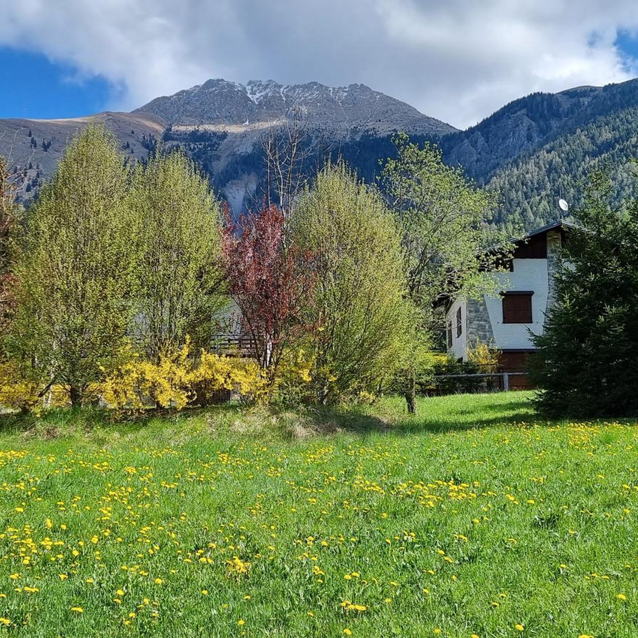
Mountaineering routes in Riserva Naturale Boschi Del Giovetto Di Paline traverse a landscape characterized by extensive forests, primarily spruce, white fir, and larch at higher elevations, with beech trees in lower sections. The terrain ranges from approximately 1,000 meters to peaks reaching 1,937 meters at Costone, and up to 2,300 meters in some areas. Geological features include sedimentary Triassic formations with clay and marl deposits, contributing to rounded forms and gentle slopes, while steeper sections reveal calcareous-marly deposits. A significant…
Last updated: July 4, 2026
4.0
(2)
7
hikers
18.8km
08:11
1,460m
1,460m
Hard mountaineering route. Very good fitness required. Sure-footedness, sturdy shoes and alpine experience required.
6
hikers
11.6km
05:04
860m
860m
Hard mountaineering route. Very good fitness required. Sure-footedness, sturdy shoes and alpine experience required.

Sign up for free
4
hikers
13.9km
06:13
990m
990m
Hard mountaineering route. Very good fitness required. Sure-footedness, sturdy shoes and alpine experience required.
5.0
(1)
3
hikers
9.90km
03:47
560m
560m
Moderate mountaineering route. Good fitness required. Mostly accessible paths. Sure-footedness required.
4.0
(1)
11
hikers
9.07km
03:05
460m
460m
Moderate mountaineering route. Good fitness required. Mostly accessible paths. Sure-footedness required.
Our route recommendations are based on thousands of hikes, rides, and runs completed by other people on komoot.
Start today with a free account
Your next adventure awaits.
Login or Signup
Popular around Riserva Naturale Boschi Del Giovetto Di Paline
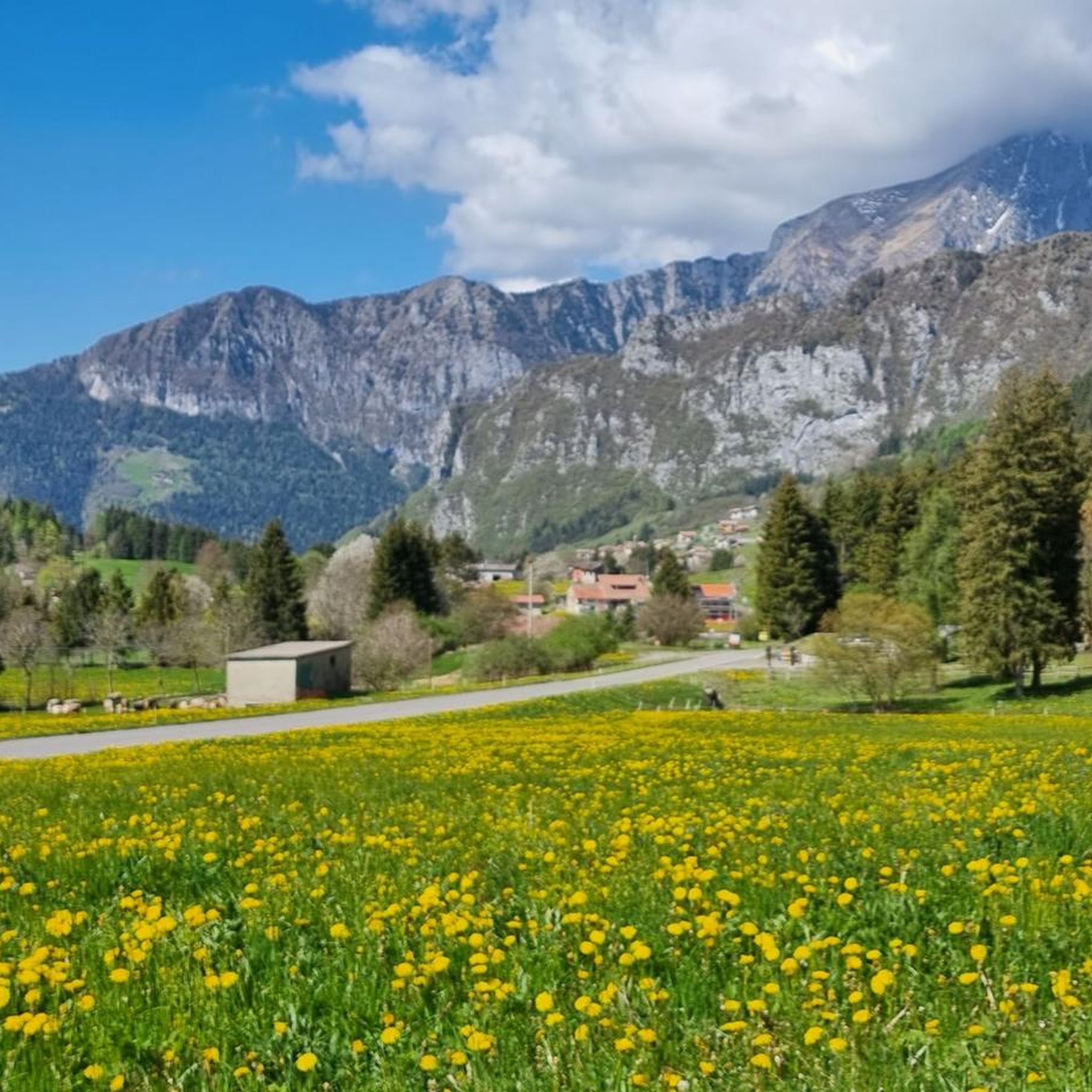
Hiking in Riserva Naturale Boschi Del Giovetto Di Paline
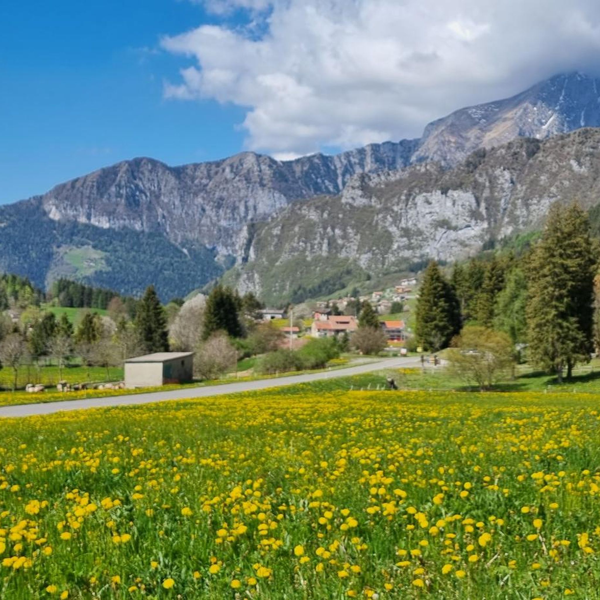
Cycling in Riserva Naturale Boschi Del Giovetto Di Paline
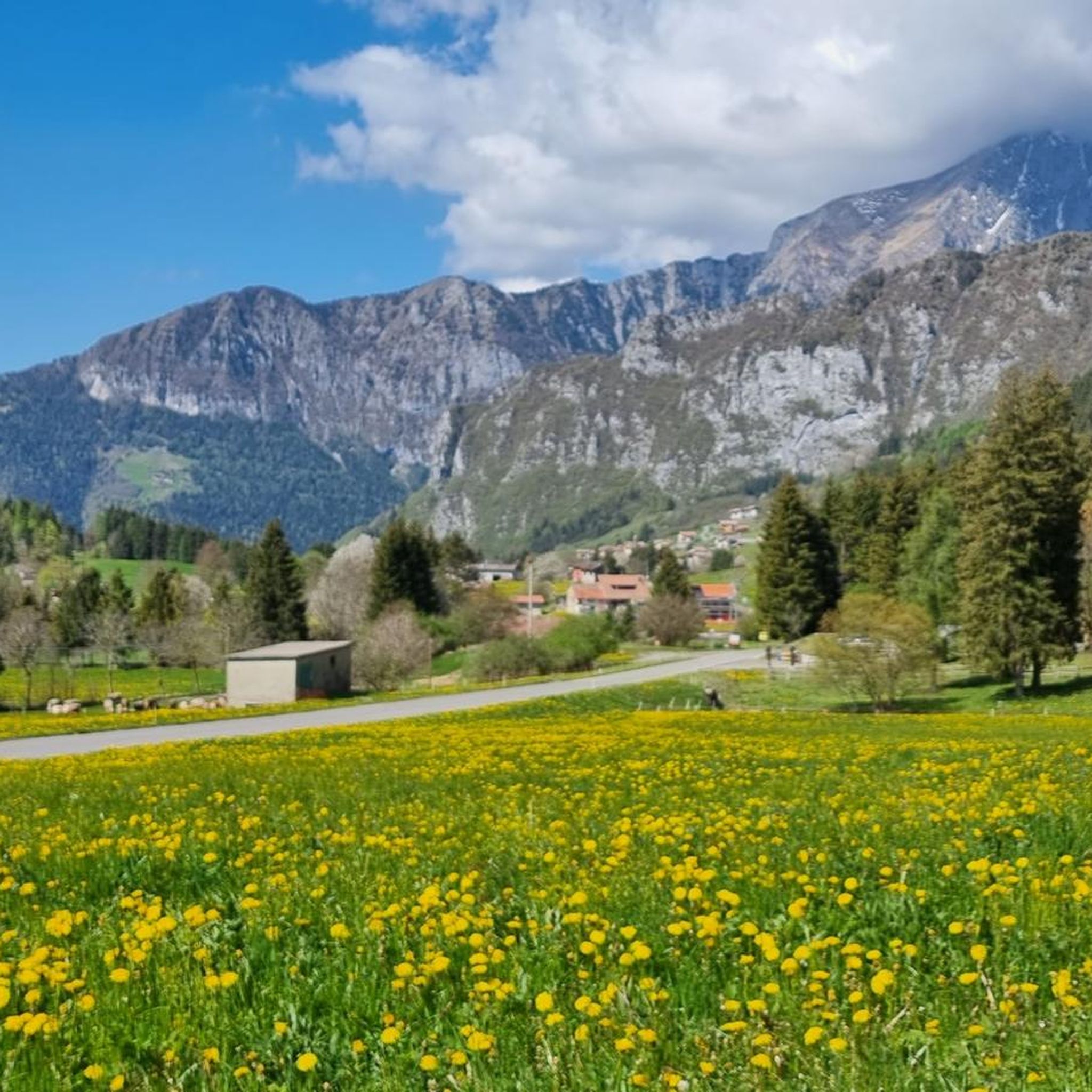
MTB Trails in Riserva Naturale Boschi Del Giovetto Di Paline
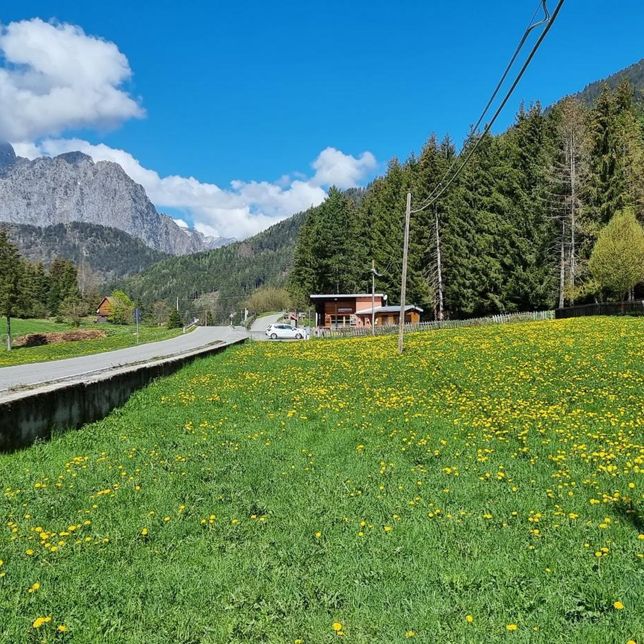
Road Cycling Routes in Riserva Naturale Boschi Del Giovetto Di Paline
Running Trails in Riserva Naturale Boschi Del Giovetto Di Paline

Gravel biking in Riserva Naturale Boschi Del Giovetto Di Paline
Tips from the Community


Passo degli Agnelli (1,950 m) is a charming panoramic pass located at the foot of the southern walls of Presolana, in the province of Bergamo. Accessible mainly from Rifugio Rino Olmo or via routes including the Sentiero delle Capre and Rifugio Cassinelli, it offers a unique alpine environment, often frequented for hikes and chamois spotting.
0
0

The trail is suitable for everyone and takes about an hour to reach the refuge. You can either hike along a cobblestone road or through the woods (not recommended if it's snowing in winter because it freezes, and in summer, some sections are very muddy). Be sure to pay extra attention.
0
0

The Cimon della Bagozza Refuge is located at 1,600 meters above sea level in the beautiful Conca dei Campelli, in the municipality of Schilpario (BG), in the Scalve Valley. It is an ideal destination for hikers, families, and snowshoers, nestled in the so-called "Little Bergamo Dolomites." 🏡 Main Information Management: Cimon della Bagozza Alpine Group – Manager Silvio Visini Phone: 0346 56300 Email: rifugiobagozza@hotmail.it Altitude: 1,600 m Beds: approximately 50 (35 indoors) Cuisine: Traditional Bergamo cuisine – the "Polenta e quel che c'è" menu is famous Open all year round Pets allowed 🥾 How to get there From Fondi di Schilpario: approximately 1 hour on foot, elevation gain +350 m By car: In summer, you can get very close to the refuge by parking in Cimalbosco Trails: CAI 419 and 428, also ideal for families and beginners ❄️ In winter The refuge is open even in the snow and is a perfect destination For: Snowshoeing Hiking with crampons Family weekend in the snow Always check the avalanche bulletin (ARPA Lombardia) before leaving 🌄 What to see nearby Lake Campelli Madonnina dei Campelli Mount Campioncino Don Giulio Corini Bivouac Cimon della Bagozza (2,407 m) – for experienced hikers
0
0
The Madonnina dei Campelli is a small votive statue nestled in the beautiful Conca dei Campelli, in the Schilpario area (Bergamo). It's a popular spot among hikers, not only for its spiritual significance but also for its scenic and evocative location. The Madonnina dei Campelli is a bronze sculpture in the round, created by 🙏 Characteristics and meaning Type: votive statue dedicated to the Madonna Location: along CAI trail 428, near Malga Campelli Bassa, at approximately 1,680 m above sea level Context: located in a clearing between woods and pastures, overlooking Cimon della Bagozza and Pizzo Camino Function: a resting and reflection point for hikers, often associated with moments of meditation or prayer 🥾 How to get there Starting point: from Fondi di Schilpario Route: follow the forest road to the small church of Maria Ausiliatrice and Santa Barbara, then continue on trail 428 Duration: approximately 1.5 hours on foot Difficulty: hiking (E), also suitable for families
0
0
Monte Campioncino is a splendid peak in the Bergamo Prealps, located on the border between Val di Scalve (BG) and Val Camonica (BS), with an altitude of approximately 2,102 meters. 🏔️ Main features Altitude: 2,102 m a.s.l. Location: between the municipalities of Schilpario (BG) and Cerveno (BS) Mountain group: Concarena – Eastern Bergamo Prealps Coordinates: 46°01′59.94″N, 10°15′03.39″E 🚶♂️ Recommended hike Starting point: Cimalbosco locality (Schilpario), altitude 1,580 m Ascent route: from Passo dei Campelli, south side Elevation gain: approximately 520 m (ascent only) Travel time: 1h30 for the ascent, 2h45 total Difficulty: hiking (E), with easy sections (F) on an unmarked trail Recommended period: all year round, also for snowshoeing and ski touring 🌄 Panorama From the summit, you can enjoy a spectacular view of: Presolana Cimon della Bagozza Monte Campione Concarena
0
0
Lago dei Campelli is a small and picturesque alpine lake located in the Conca dei Campelli, in the Scalve Valley, just minutes from the Campione Refuge. It is an ideal destination for hikers seeking a peaceful and scenic spot, surrounded by nature. 🏞️ Characteristics of Lake Campelli Altitude: approximately 1,900 m Access: Reachable on foot from the Campione Refuge in about 10–15 minutes Lake type: Alpine, natural, often fed by snowfields and springs Ambience: Surrounded by pastures, rocks, and overlooking the Piccole Dolomiti Scalvine 🚶♂️ Recommended hike Departure: from Schilpario – Fondi Route: Climb to the Campelli Pass, then to the Campione Refuge, finally detour to the lake Total duration: approximately 2.5–3 hours on foot Difficulty: Hiking (E), also suitable for families with children accustomed to walking
0
0
The Conca dei Campelli is a splendid alpine area located in the Scalve Valley, in the province of Bergamo, bordering the Camonica Valley. It is a true natural jewel, perfect for hiking, snowshoeing, and relaxing days immersed in nature. 🏞️ Characteristics of the Conca dei Campelli Altitude: approximately 1,800–1,900 m Main access: from Schilpario, following the signs for the Vivione Pass and then the Campelli Pass View: surrounded by the Piccole Dolomiti Scalvine, with views of Cimon della Bagozza Points of interest: Rifugio Campione: excellent refreshment point and base for hikes Laghetto dei Campelli: small alpine lake, ideal for a break Madonnina dei Campelli: panoramic and spiritual point 🌿 Recommended activities Summer hiking: trails also suitable for families and children Winter snowshoeing: breathtaking snow-covered landscapes, ideal for snow lovers
0
0
Frequently Asked Questions
How many mountaineering routes are available in Riserva Naturale Boschi Del Giovetto Di Paline?
There are 6 mountaineering routes documented in Riserva Naturale Boschi Del Giovetto Di Paline. These include 2 moderate and 4 difficult options, offering a range of challenges for experienced mountaineers.
What kind of terrain can I expect on mountaineering routes in Riserva Naturale Boschi Del Giovetto Di Paline?
The terrain in Riserva Naturale Boschi Del Giovetto Di Paline is diverse, featuring extensive forests of spruce, white fir, beech, and larch, interspersed with meadows and pastures. You will encounter significant elevation changes, with routes ranging from approximately 1,000 meters to peaks around 1,950 meters, including the summit of Costone at 1937 meters. The landscape includes both gentle slopes and steeper sections, characteristic of the sedimentary Triassic formations.
Are there any circular mountaineering routes in the reserve?
Yes, several circular routes are available. For a challenging option, consider the Monte Ferrante Summit – Corna Gemelle loop from Colere, which is 18.5 km long. Another difficult circular route is the Cassinelli Hut – Passo Pozzera loop from Passo della Presolana, spanning 11.6 km. For a moderate circular option, try the Route del Gleno – Gleno Dam loop from Vilminore di Scalve.
What is the best time of year for mountaineering in Riserva Naturale Boschi Del Giovetto Di Paline?
The best time for mountaineering in Riserva Naturale Boschi Del Giovetto Di Paline is typically from late spring through early autumn (May to October), when trails are generally free of snow and weather conditions are more stable. During these months, you can fully appreciate the diverse flora and fauna, and the panoramic views from the higher elevations.
What are some notable natural features or landmarks to look out for?
The reserve is known for its extensive forests and mountainous terrain. Keep an eye out for the distinctive, large dome-shaped nests of the *Formica rufa* (red wood ant), which the reserve was established to protect. You'll also find various viewpoints offering extensive vistas of the surrounding alpine scenery, including glimpses of the Presolana massif and the Orobie Alps. The Giona Valley is another unique geological feature.
Are there any family-friendly mountaineering options?
While many routes in Riserva Naturale Boschi Del Giovetto Di Paline are rated difficult, there are moderate options that might be suitable for families with older children who have some hiking experience and good fitness. The Madonnina dei Campelli – Lake of Campelli loop from Fondi is a moderate 11.6 km route that could be considered. Always check the specific route details for elevation gain and terrain before setting out with family.
What is the general difficulty level of mountaineering routes in this region?
Mountaineering routes in Riserva Naturale Boschi Del Giovetto Di Paline range from moderate to difficult. Many routes involve significant elevation gains and challenging conditions, sometimes rated on the Swiss Alpine Club (SAC) Hiking Scale as SAC 4-6. This means they require very good fitness, sure-footedness, sturdy shoes, and alpine experience. There are 4 difficult routes and 2 moderate routes available.
What do other mountaineers enjoy most about the area?
The area is highly rated by the komoot community, with an average score of 4.7 stars. Mountaineers often praise the challenging ascents, the extensive views of the alpine scenery, and the diverse natural environments that transition from dense forests to open meadows and pastures.
Is parking available near the trailheads?
Yes, the reserve is accessible from tourist resorts like Borno and Valle di Scalve, which typically offer parking facilities. Specific parking areas can be found near popular starting points for routes, such as those originating from Passo della Presolana or Colere. It's advisable to check local information for the most convenient parking for your chosen trailhead.
Are dogs allowed on the mountaineering trails?
Generally, dogs are permitted on trails in natural reserves in Italy, but they must be kept on a leash to protect wildlife and ensure the safety of other hikers. Always check specific signage at trailheads or the official reserve website for any particular restrictions or regulations regarding dogs within Riserva Naturale Boschi Del Giovetto Di Paline.
Are there any facilities or amenities along the routes?
Yes, some trails feature amenities such as shelters, water sources, picnic sites, historic wayside crosses, and information points. The "Giuadel" area near the Giovetto di Paline is a recognized stop with an equipped area, providing a good spot for a break during your mountaineering adventure.
Most popular routes in Riserva Naturale Boschi Del Giovetto Di Paline
Most popular attractions in Riserva Naturale Boschi Del Giovetto Di Paline

Get inspired with the komoot mobile app


Explore more
Browse the best Mountain Hikes & Routes in other regions.
