The best mountain hikes in Riserva Naturale Pian Di Spagna E Lago Di Mezzola
5.0
(2)
25
hikers
5
hikes
Mountaineering routes in Riserva Naturale Pian Di Spagna E Lago Di Mezzola are primarily found in the surrounding alpine regions, as the reserve itself is characterized by a flat wetland ecosystem at approximately 200 meters above sea level. This area serves as a strategic base for accessing the more challenging granite peaks and high alpine routes of the Rhaetian Alps and the Valtellina and Valchiavenna regions. The landscape transitions from expansive reed beds and lakes within the reserve to imposing…
Last updated: July 4, 2026
5.0
(1)
3
hikers
12.3km
05:44
980m
980m
Hard mountaineering route. Very good fitness required. Mostly accessible paths. Sure-footedness required.
6
hikers
7.51km
03:34
630m
620m
Moderate mountaineering route. Good fitness required. Mostly accessible paths. Sure-footedness required.

Sign up for free
3
hikers
Moderate mountaineering route. Good fitness required. Easily-accessible paths. Suitable for all skill levels.
4
hikers
15.6km
05:13
640m
640m
Hard mountaineering route. Very good fitness required. Mostly accessible paths. Sure-footedness required.
5
hikers
10.6km
03:39
460m
460m
Moderate mountaineering route. Good fitness required. Mostly accessible paths. Sure-footedness required.
Our route recommendations are based on thousands of hikes, rides, and runs completed by other people on komoot.
Start today with a free account
Your next adventure awaits.
Login or Signup
Popular around Riserva Naturale Pian Di Spagna E Lago Di Mezzola
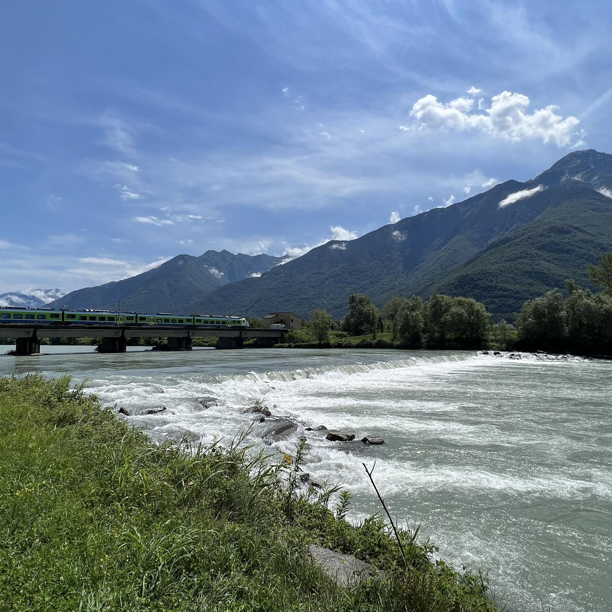
Road Cycling Routes in Riserva Naturale Pian Di Spagna E Lago Di Mezzola
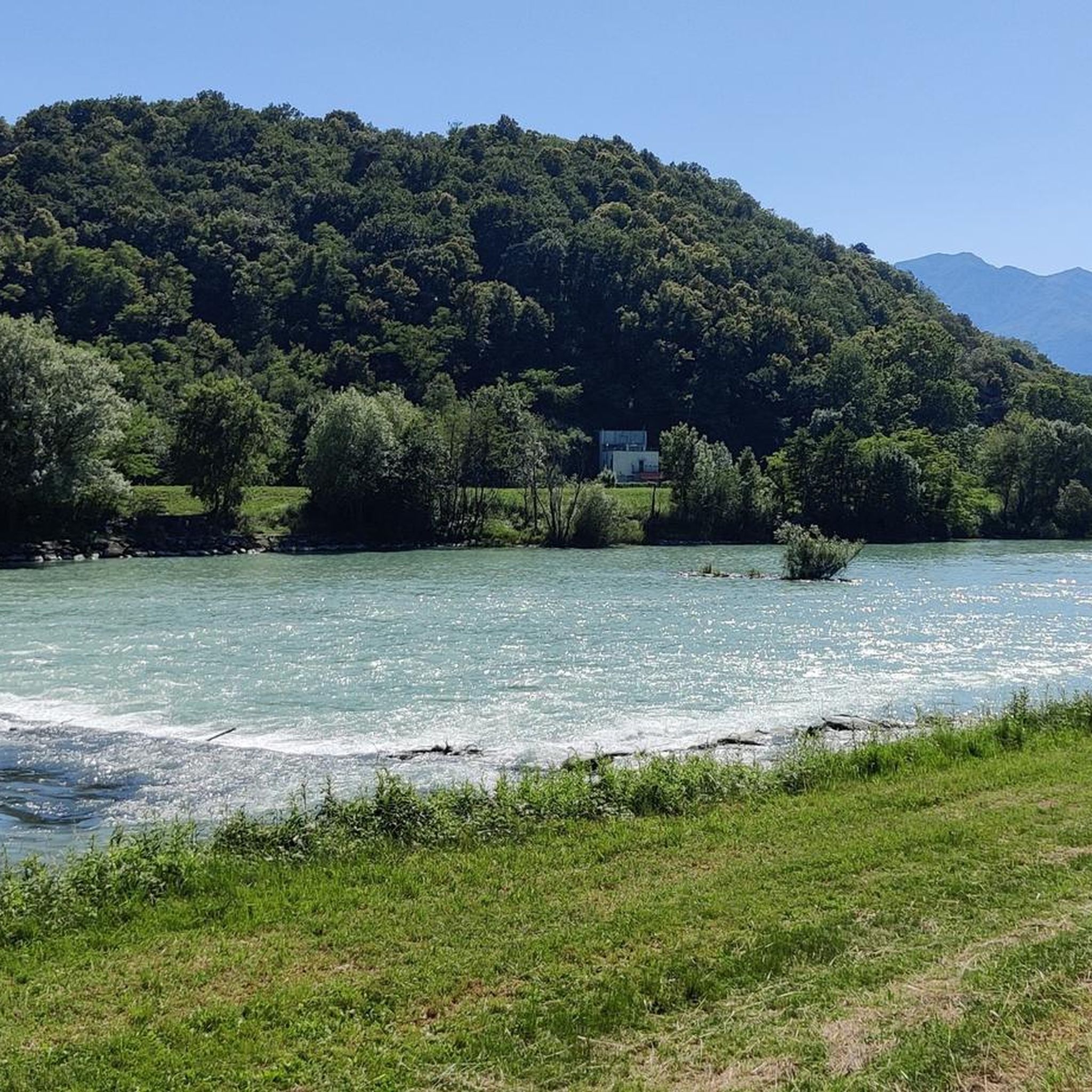
Hiking in Riserva Naturale Pian Di Spagna E Lago Di Mezzola
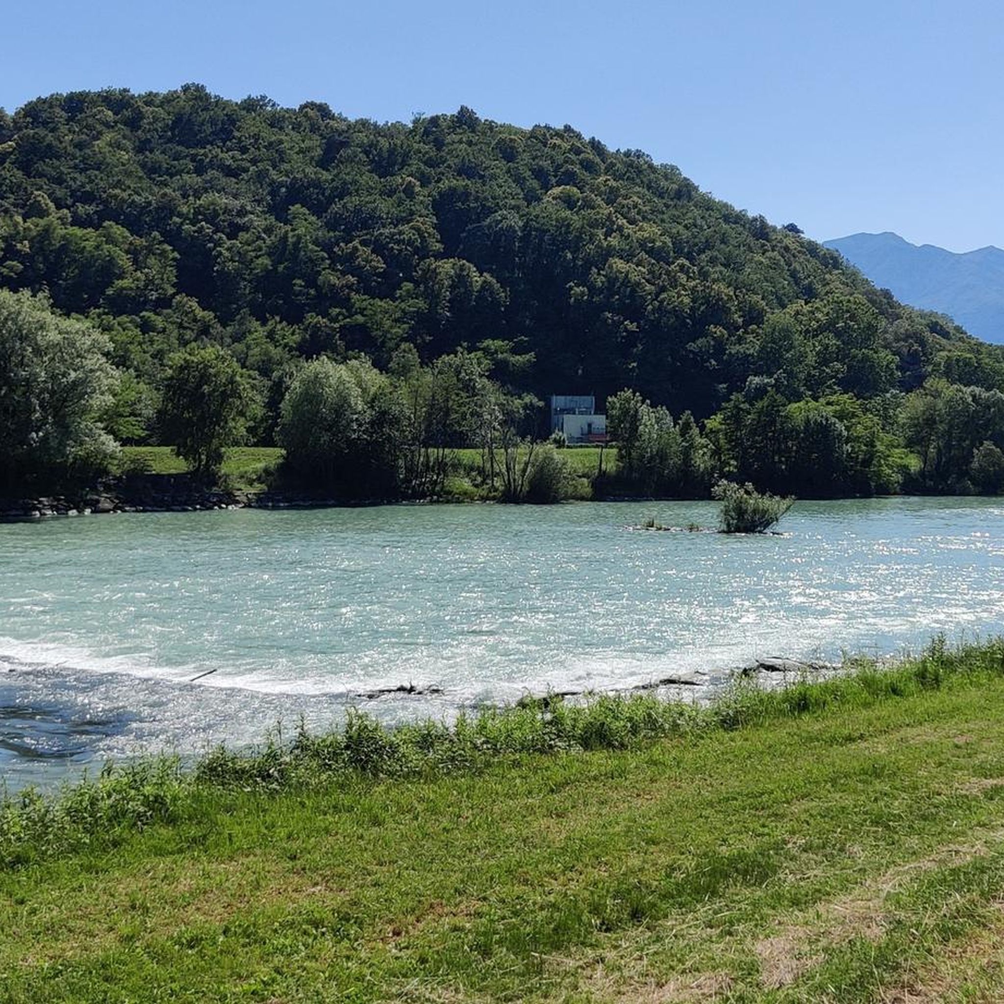
MTB Trails in Riserva Naturale Pian Di Spagna E Lago Di Mezzola
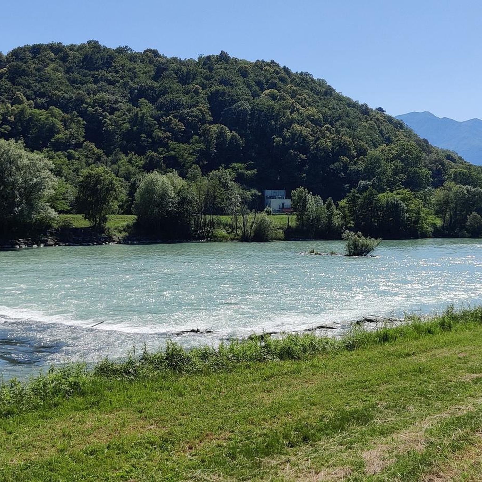
Cycling in Riserva Naturale Pian Di Spagna E Lago Di Mezzola
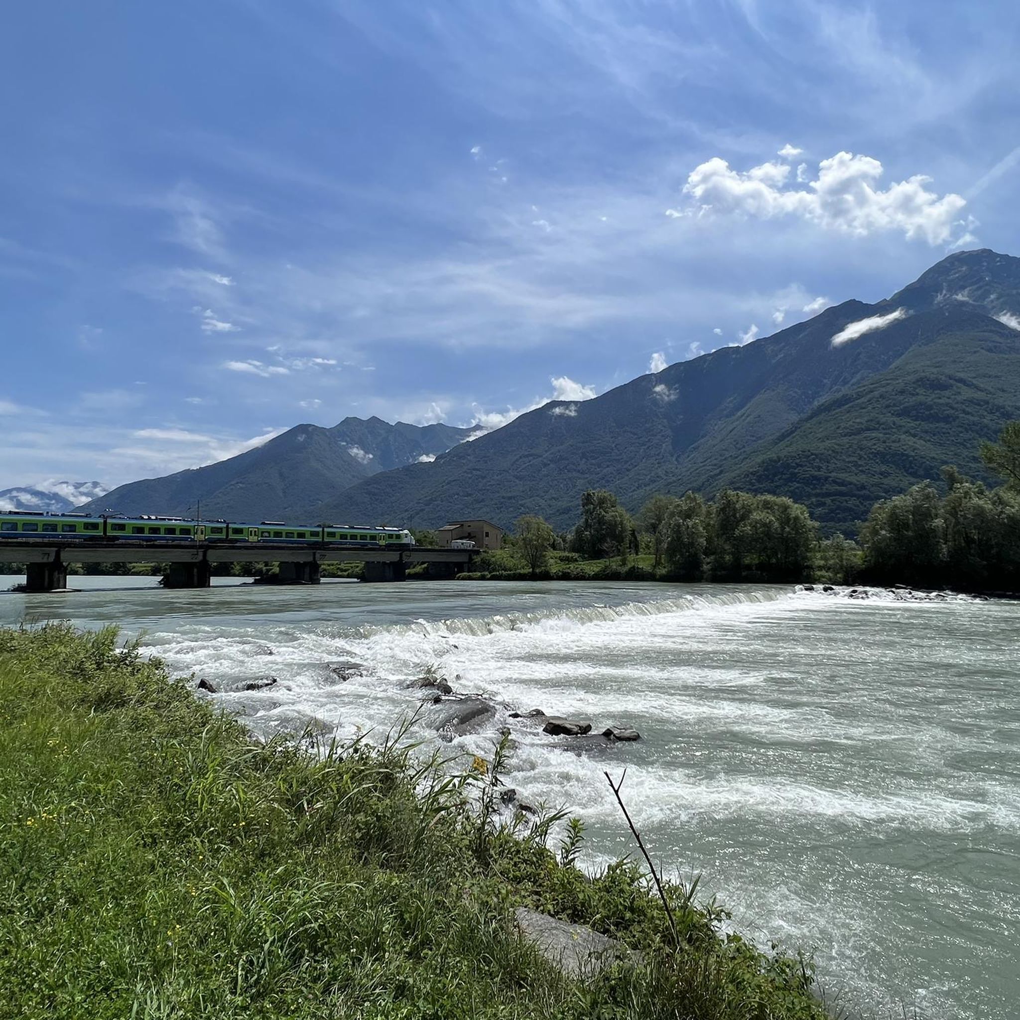
Running Trails in Riserva Naturale Pian Di Spagna E Lago Di Mezzola

Gravel biking in Riserva Naturale Pian Di Spagna E Lago Di Mezzola
Tips from the Community

Narrow little stone bridge in the old town center
1
0

The same church is located right next to the parking lot. From there, you have a breathtaking view of Lake Como.
0
0

Lovely walk along the lake on a beautiful road with many campsites and terraces, very cozy and tasty aperol🙈🇮🇹🇮🇹
0
0


Wonderful day, wonderful view
0
0

This beautiful cycle and pedestrian path is located between the mouth of the Livo stream in Lake Como and the center of the village of Domaso. It is pleasant to walk or cycle here and the beach is always present, as are the splendid views of the northern part of the lake.
0
0
Frequently Asked Questions
How many mountaineering routes are available in Riserva Naturale Pian Di Spagna E Lago Di Mezzola?
There are 11 mountaineering routes available in the Riserva Naturale Pian Di Spagna E Lago Di Mezzola area. These routes are primarily found in the surrounding alpine regions, offering diverse terrain for experienced mountaineers.
Are there any easy mountaineering routes in this region?
No, there are no easy mountaineering routes available in Riserva Naturale Pian Di Spagna E Lago Di Mezzola. The routes range from moderate to difficult, requiring good fitness, sure-footedness, sturdy shoes, and often alpine experience. The terrain transitions from the flat wetland of the reserve to imposing mountain massifs like Monte Berlinghera and Monte Legnone.
What kind of terrain can I expect on mountaineering routes here?
The terrain varies significantly. While the reserve itself is a flat wetland, the mountaineering routes ascend into the surrounding Lepontine and Rhaetian Alps. You can expect challenging ascents, granite walls, and high-altitude trails. Routes often feature rocky slopes, rugged terrain, and panoramic viewpoints over Valchiavenna, Lake Mezzola, and Lake Como.
Are there any circular mountaineering routes in the area?
Yes, several mountaineering routes in the region are circular. For example, you can explore the View of Valtellina Valley loop from Montemezzo, which offers scenic views through mountainous landscapes. Another option is the View of Sasso Bianco – Alpe di Mezzo loop from Montemezzo, a more challenging route with significant elevation gain.
What are some challenging mountaineering routes for experienced climbers?
For experienced mountaineers seeking significant challenges, routes in the Rhaetian Alps, such as those leading towards Sasso Manduino (2888 m), offer demanding alpinistic experiences. Within the komoot selection, the San Giorgio di Cola loop from Verceia is a difficult route with substantial elevation gain. Another challenging option is the Behind the Waterfall – Village of Codera loop from Novate Mezzola, which traverses rugged terrain to a historic village.
What notable landmarks or natural features can I see along these routes?
Many routes offer stunning views of natural features. You'll often encounter views of Lake Mezzola and the expansive Pian di Spagna and Lake Mezzola Nature Reserve. Some trails might pass by the Passo Bridge or offer glimpses of the Pian di Spagna wetland. The surrounding mountains themselves, like Monte Berlinghera, provide exceptional panoramic vistas.
Is it possible to reach the mountaineering trailheads by public transport?
While some starting points for routes near towns like Verceia or Novate Mezzola might be accessible by local bus services or train stations, direct public transport to all high-alpine trailheads can be limited. Planning ahead and checking local transport schedules is recommended. For more remote starting points, a car is often necessary.
Where can I find parking for mountaineering routes?
Parking availability varies by trailhead. For routes starting from villages such as Verceia, Novate Mezzola, Montemezzo, or Domaso, you can typically find designated parking areas within or on the outskirts of the village. It's advisable to check specific route descriptions or local signage for the most convenient parking options.
What is the best time of year for mountaineering in Riserva Naturale Pian Di Spagna E Lago Di Mezzola?
The best time for mountaineering in this region is generally from late spring to early autumn (May to October). During these months, the weather is more stable, and snow has usually melted from higher elevations. Winter mountaineering is possible but requires specialized equipment and experience due to snow, ice, and potential avalanche risks.
What should I bring for mountaineering in this area?
Given the moderate to difficult nature of these routes, you should bring sturdy hiking boots, appropriate layers of clothing for changing mountain weather, sufficient water and snacks, a map and compass or GPS device, and a first-aid kit. For more challenging routes, especially those with exposed sections or technical climbing, mountaineering equipment such as a helmet, harness, ropes, and traditional climbing gear might be necessary.
Are there any routes that lead to historic villages or unique cultural sites?
Yes, some routes offer a blend of natural beauty and cultural exploration. The Behind the Waterfall – Village of Codera loop from Novate Mezzola, for instance, leads to a historic village, offering a glimpse into the region's heritage amidst impressive natural features. Another option is the Along the Shepherd's Path – Historic Village of Livo loop from Domaso.
What do other mountaineers enjoy most about the routes in Riserva Naturale Pian Di Spagna E Lago Di Mezzola?
The mountaineering routes in this area are highly rated by the komoot community, with an average score of 4.9 stars from over 30 reviews. Reviewers often praise the challenging ascents, the stunning panoramic views of the lakes and surrounding Alps, and the diverse terrain that transitions from wetland to rugged mountain landscapes. The sense of solitude on less-frequented summits like Sasso Manduino is also appreciated by those seeking a more remote experience.
Most popular routes in Riserva Naturale Pian Di Spagna E Lago Di Mezzola
Most popular attractions in Riserva Naturale Pian Di Spagna E Lago Di Mezzola

Get inspired with the komoot mobile app


Explore more
Browse the best Mountain Hikes & Routes in other regions.
