Réserve Biologique Dirigée De La Montagne Des Frêtes
Réserve Biologique Dirigée De La Montagne Des Frêtes
The best running trails in Réserve Biologique Dirigée De La Montagne Des Frêtes
4.4
(118)
6,902
runners
131
runs
Jogging in Réserve Biologique Dirigée De La Montagne Des Frêtes offers routes through a protected natural environment in the northern-western Bauges massif of Haute-Savoie, France. The region is characterized by forested terrain, primarily pine and spruce, situated at altitudes between 1500 and 1800 meters. This mountainous landscape features unique geological formations like "lapiaz" and provides a serene setting for running. The trails in Réserve Biologique Dirigée De La Montagne Des Frêtes traverse diverse landscapes, from dense forests to more open…
Last updated: July 10, 2026
78
runners
Hard run. Very good fitness required. Sure-footedness, sturdy shoes and alpine experience required.
25
runners
Moderate run. Good fitness required. Mostly paved surfaces. Suitable for all skill levels.

Sign up for free
19
runners
11.4km
01:37
540m
540m
Hard run. Very good fitness required. Sure-footedness, sturdy shoes and alpine experience required.
8
runners
7.08km
00:57
210m
210m
Moderate run. Good fitness required. Mostly paved surfaces. Suitable for all skill levels.
3
runners
9.74km
02:02
890m
880m
Hard run. Very good fitness required. Sure-footedness, sturdy shoes and alpine experience required.
Get access to more routes and recommendations from other explorers.
Sign up for free
Already have an account?
Our route recommendations are based on thousands of hikes, rides, and runs completed by other people on komoot.
Start today with a free account
Your next adventure awaits.
Login or Signup
Popular around Réserve Biologique Dirigée De La Montagne Des Frêtes
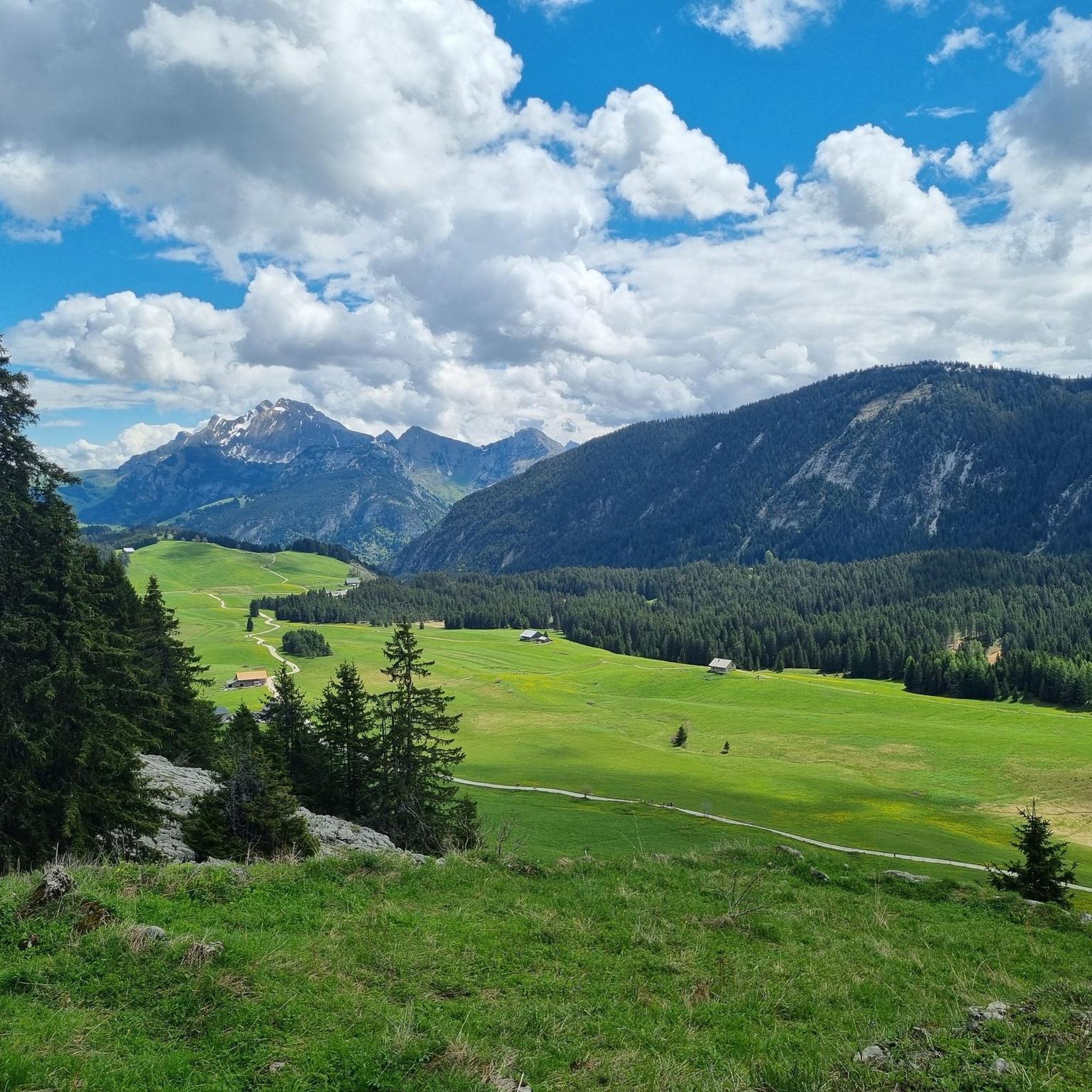
Hiking in Réserve Biologique Dirigée De La Montagne Des Frêtes
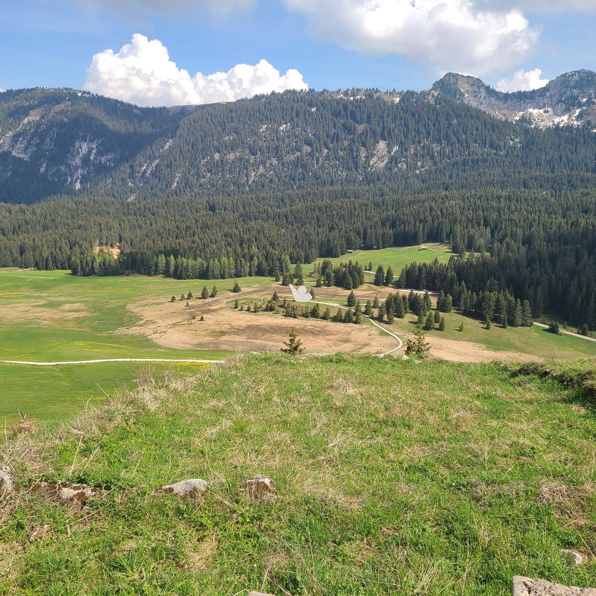
Road Cycling Routes in Réserve Biologique Dirigée De La Montagne Des Frêtes
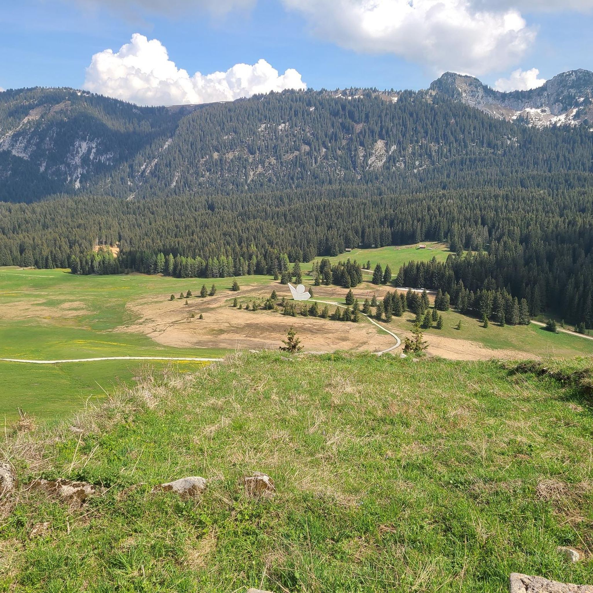
MTB Trails in Réserve Biologique Dirigée De La Montagne Des Frêtes
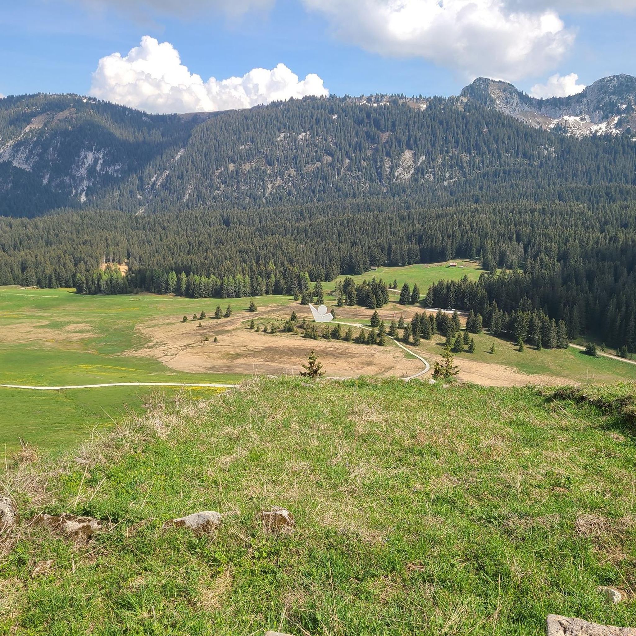
Cycling in Réserve Biologique Dirigée De La Montagne Des Frêtes

Gravel biking in Réserve Biologique Dirigée De La Montagne Des Frêtes

Mountain Hikes in Réserve Biologique Dirigée De La Montagne Des Frêtes
Tips from the Community

The gravel section is easy to do with a racing bike
0
0


Le Col des Glières is a picturesque mountain pass located in the French Alps. Nestled at an elevation of 1,450 meters, it is renowned for its natural beauty and historical significance. The col gained prominence during World War II as a key location for the French Resistance, serving as a clandestine base and supply route. Today, visitors can explore the tranquil surroundings, hike through pristine alpine landscapes, and discover the memorial sites that pay homage to the brave individuals who fought for freedom in this mountainous sanctuary.
1
0

Classified Natura2000 and Sensitive Natural Area, the Plateau des Glières is an incredible place. Alpine pastures, mountains, wooden chalets, everything is there! The Plateau des Glières was also a hotbed of resistance during the Second World War. It was then used as a parachuting ground for the Allies. The Glières Monument, which can be seen from all over the plateau, symbolizes resistance and hope. On the plateau, you will find several restaurants and lodges offering local specialties. A perfect spot for a lunch break with a view!
0
0

Terrible climb with end in gravel but the view of the plateau is definitely worth the effort!
1
0

Vivre libre ou mourir - the guiding principle of the French Revolution was also applied to the fighters of the Résistance, for whom a memorial with a memorial was erected here on the Col des Glières. From a cycling point of view, the Col des Glières became famous for the spectacular gravel passage at the 2018 Tour de France. This year (2020), the pass will again be climbed as a mountain of the highest category.
0
0

Notice to steep climb enthusiasts
1
0

Frequently Asked Questions
How many running routes are available in Réserve Biologique Dirigée De La Montagne Des Frêtes?
There are over 120 running routes in the Réserve Biologique Dirigée De La Montagne Des Frêtes, offering a wide range of options for different abilities and preferences. The komoot community has explored these trails over 6000 times.
What kind of terrain can I expect on the jogging routes in the reserve?
The reserve offers diverse terrain, primarily characterized by forested paths among pine and spruce trees, mountainous sections, and unique geological formations like 'lapiaz' (karst pavements). You'll find a mix of challenging ascents and more level stretches, with altitudes ranging between 1500 and 1800 meters.
Are there routes suitable for beginners or less experienced runners?
Yes, while many routes are challenging, there are options for all levels. The reserve features 11 easy and 53 moderate running trails. For example, the Glières Pass – Plateau des Glières loop from Réserve biologique dirigée de la Montagne des Frêtes is a moderate 5.2 km trail that takes about 35 minutes to complete, offering a gentler introduction to the area's beauty.
What do other runners say about the trails in Réserve Biologique Dirigée De La Montagne Des Frêtes?
The running routes in the reserve are highly rated by the komoot community, with an average score of 4.4 stars from over 110 reviews. Runners often praise the serene natural setting, the stunning panoramic views, and the well-maintained trails that allow for an immersive outdoor experience.
Are there any circular running routes in the Réserve Biologique Dirigée De La Montagne Des Frêtes?
Yes, many of the trails in the reserve are circular, allowing you to start and end at the same point. An excellent example is the View of Tête Ronde loop from Réserve biologique dirigée de la Montagne des Frêtes, a challenging 9.6 km path that offers vistas of the surrounding peaks.
Can I bring my dog on the running trails?
As a directed biological reserve, the area is managed to preserve its natural heritage and protect wildlife. While specific regulations for dogs may vary, it's generally recommended to keep dogs on a leash on marked trails to ensure the tranquility of the fauna and respect the sensitive ecosystem. Always check local signage for the most current rules.
Are there any family-friendly jogging routes in the reserve?
While the reserve's mountainous terrain and higher altitude trails can be challenging, there are moderate options that families with older children or those accustomed to outdoor activities might enjoy. The Glières Pass – Plateau des Glières loop is a moderate 5.2 km route that could be suitable for active families.
What are the best times of year to go running in the Réserve Biologique Dirigée De La Montagne Des Frêtes?
Given its altitude between 1500 and 1800 meters, the reserve is best enjoyed for running from late spring through early autumn (roughly May to October). During these months, trails are typically clear of snow, and the weather is more favorable. Winter running is possible but requires appropriate gear and awareness of snow conditions and potential closures.
Are there any viewpoints or scenic spots along the running trails?
Absolutely. The trails offer breathtaking landscapes and panoramic views. You can expect vistas of the Aravis massif and Pointe Percée from various points. The 'Tour de la Montagne des Frêtes' and other routes provide opportunities to appreciate the natural beauty from locations like the Ubac de la Montagne des Frêtes and the vallon de Champ Laitier.
What is the longest running route available in the reserve?
Among the listed routes, the Black Head – Tête Ronde loop from Plateau des Glières is one of the longer options, covering 11.3 km (7.0 miles). This difficult trail typically takes about 1 hour and 36 minutes to complete and offers expansive views across the mountainous terrain.
Is there parking available near the jogging routes?
While specific parking areas are not detailed in the route descriptions, access points to the reserve's extensive trail network, such as those near Plateau des Glières or Réserve biologique dirigée de la Montagne des Frêtes, typically have designated parking facilities for visitors. It's advisable to check maps or local information for specific starting points.
Can I spot any wildlife while jogging in the reserve?
The Réserve Biologique Dirigée De La Montagne Des Frêtes is a vital habitat for various species, including the Black Grouse (Tétras lyre) and Three-toed Woodpecker (Pic tridactyle). While wildlife spotting is possible, the reserve's management emphasizes tranquility for its fauna, so maintaining quiet and staying on marked trails increases your chances of observing nature without disturbing it.
Most popular routes in Réserve Biologique Dirigée De La Montagne Des Frêtes

Get inspired with the komoot mobile app


Explore more
Browse the best Running Trails & Routes in other regions.
