Réserve Biologique Dirigée De La Montagne Des Frêtes
Réserve Biologique Dirigée De La Montagne Des Frêtes
The best MTB trails in Réserve Biologique Dirigée De La Montagne Des Frêtes
4.2
(585)
4,176
riders
72
rides
Mountain biking in Réserve Biologique Dirigée De La Montagne Des Frêtes offers a diverse landscape characterized by mountain passes, elevated plateaus, and dense forest areas. The region features significant elevation changes, providing challenging climbs and rewarding descents for mountain bikers. Trails often traverse varied terrain, from open plateaus to wooded sections, within this protected biological reserve. The area's geography makes it suitable for a range of mountain biking experiences, from easier paths to demanding routes.
Best mountain bike trails in…
Last updated: November 3, 2026
3.2
(5)
28
riders
Hard mountain bike ride. Good fitness required. Advanced riding skills necessary. Some portions of the route may require you to push your bike.
1.3
(4)
15
riders
Hard mountain bike ride. Good fitness required. Advanced riding skills necessary. Some portions of the route may require you to push your bike.

5.0
(1)
12
riders
Easy mountain bike ride.
2.0
(1)
6
riders
25.4km
03:15
1,250m
1,250m
Hard mountain bike ride. Very good fitness required.
3.0
(5)
17
riders
20.4km
02:46
1,040m
1,040m
Hard mountain bike ride. Very good fitness required. Advanced riding skills necessary. Some portions of the route may require you to push your bike.
Get access to more routes and recommendations from other explorers.
Already have an account?
Our route recommendations are based on thousands of hikes, rides, and runs completed by other people on komoot.
Start today with a free account
Your next adventure awaits.
Popular around Réserve Biologique Dirigée De La Montagne Des Frêtes
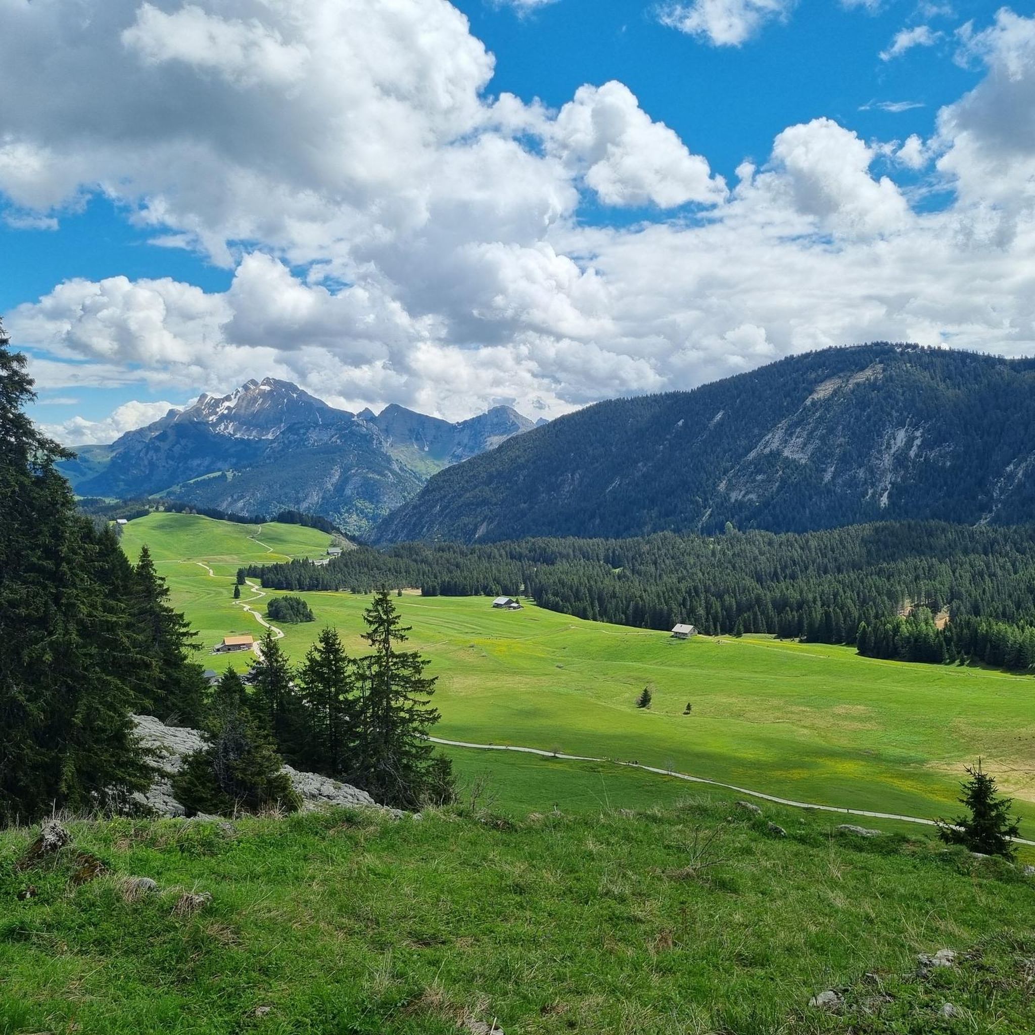
Hiking in Réserve Biologique Dirigée De La Montagne Des Frêtes
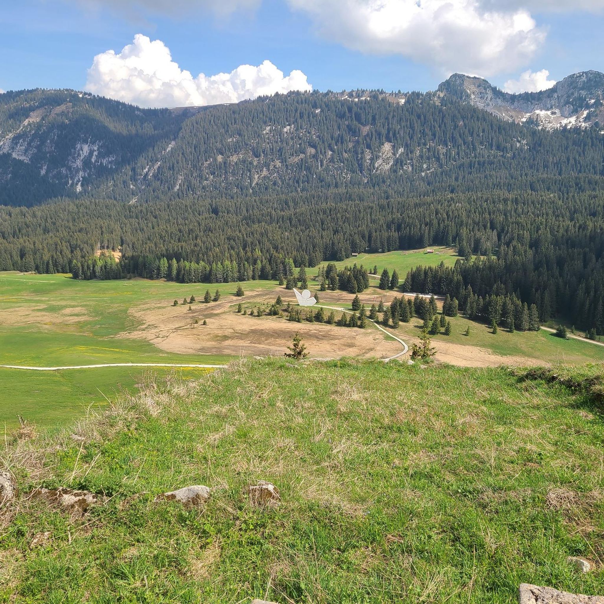
Road Cycling Routes in Réserve Biologique Dirigée De La Montagne Des Frêtes

Running Trails in Réserve Biologique Dirigée De La Montagne Des Frêtes
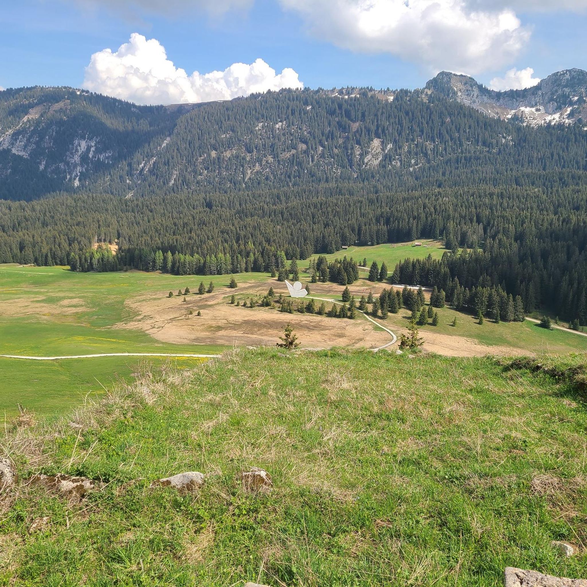
Cycling in Réserve Biologique Dirigée De La Montagne Des Frêtes

Gravel biking in Réserve Biologique Dirigée De La Montagne Des Frêtes

Mountain Hikes in Réserve Biologique Dirigée De La Montagne Des Frêtes
Tips from the Community

Intersection point Col de Landron Altitude 1585m
1
0
Intersection Point Trou de la Pierre Altitude 1571m
1
0
Intersection point Dravaslay Altitude 1390 m
1
0

The downhill by mountain bike on the North side can only be done by 2 people. At 4 points, you have to carry the bikes with one person below and one holding it above. Allow 1 hour to go from the pass to the Col du Cou. The approach from the South side via Champ Laitier is feasible without difficulty (path in the grass for hikers)
0
0

Crossing the Col du Freux is horrendous. The path leading to the hamlet of Sambuis is very steep, requiring pushing or even portaging for 600 meters.
2
0

Be careful on the Col du Freu mountain bike, it's very complicated.
3
0

The gravel section is easy to do with a racing bike
1
0

Between the Enclave and the Montagne de Sous Dine you will find the Col de l'Enclave, a wild and isolated pass with excellent alpine trails crossing it. The pass is an ideal place to look out for local wildlife, particularly chamois and marmots.
1
0
Frequently Asked Questions
How many mountain bike trails are available in Réserve Biologique Dirigée De La Montagne Des Frêtes?
The Réserve Biologique Dirigée De La Montagne Des Frêtes offers a wide selection of mountain biking opportunities, with over 70 routes available. These trails cater to various skill levels, including easy, moderate, and difficult options.
Are there mountain bike trails suitable for beginners in the reserve?
Yes, there are several beginner-friendly mountain bike trails. The reserve features 11 easy routes, perfect for those new to mountain biking or looking for a more relaxed ride. An excellent option is the Plateau des Glières – Refuge de Spée loop from Réserve biologique dirigée de la Montagne des Frêtes, which is 8.3 miles (13.3 km) long and offers a pleasant experience through the Plateau des Glières.
What kind of challenges can advanced mountain bikers expect in Réserve Biologique Dirigée De La Montagne Des Frêtes?
Advanced mountain bikers will find plenty of challenging terrain, with 30 difficult routes featuring significant elevation changes and varied landscapes. Trails like the Tour of Sous Dîne, spanning over 25 km with substantial climbs, offer demanding experiences. Expect technical sections, steep ascents, and rewarding descents across mountain passes and forested areas.
Are there any good loop mountain bike trails in the area?
Loop trails are a popular way to explore the reserve. Many routes are designed as loops, allowing you to start and finish at the same point. For example, the difficult Glières Pass – Plateau des Glières loop from Réserve biologique dirigée de la Montagne des Frêtes provides a comprehensive tour of the pass and plateau, while the Glières Pass – Lovely loop loop from Réserve biologique dirigée de la Montagne des Frêtes offers extensive views around the Glières Pass area.
Can I bring my dog on the mountain bike trails?
As a protected biological reserve, specific rules regarding dogs may apply to ensure the preservation of local wildlife and habitats. It's generally recommended to keep dogs on a leash and check local signage or the official reserve guidelines before heading out. Some trails might have restrictions, especially in sensitive areas.
What are the best times of year for mountain biking in Réserve Biologique Dirigée De La Montagne Des Frêtes?
The best time for mountain biking typically spans from late spring through early autumn (May to October). During these months, the weather is generally more stable, and trails are free of snow. Summer offers lush landscapes and warmer temperatures, while early autumn provides cooler rides and beautiful fall foliage.
Are there mountain bike routes accessible by public transport?
While the Réserve Biologique Dirigée De La Montagne Des Frêtes is primarily accessed by car, some routes may have starting points near villages or towns that are served by local bus lines. However, direct public transport access to trailheads within the deeper parts of the reserve can be limited. Planning your route in advance and checking local transport schedules is advisable.
Where can I find parking for mountain biking in the reserve?
Parking is generally available at key access points and popular trailheads around the reserve, particularly near the Plateau des Glières and other well-known starting locations. Look for designated parking areas, often signposted, which provide convenient access to the trail network. Always ensure you park responsibly and do not obstruct any access roads or sensitive natural areas.
What makes mountain biking in Réserve Biologique Dirigée De La Montagne Des Frêtes unique?
Mountain biking here is unique due to the diverse landscape of mountain passes, elevated plateaus, and dense forests within a protected biological reserve. Riders experience significant elevation changes, offering both challenging climbs and exhilarating descents. The komoot community highly rates the routes, with an average score of 4.3 stars, praising the varied terrain and scenic beauty.
Are there any long-distance mountain bike routes for multi-day trips?
While most routes listed are suitable for day trips, the extensive network of trails and the varied terrain in Réserve Biologique Dirigée De La Montagne Des Frêtes allow for combining multiple routes to create longer, multi-day adventures. For example, the Tour of Sous Dine – Enclave Pass loop from Montisel is a challenging 20.9 km route that could be part of a larger exploration of the region.
What should I bring for a mountain bike ride in the reserve?
When mountain biking in Réserve Biologique Dirigée De La Montagne Des Frêtes, it's essential to be prepared. Always carry sufficient water, snacks, a repair kit (including spare tubes, pump, and multi-tool), a first-aid kit, and appropriate clothing layers for changing mountain weather. A helmet is mandatory, and navigation tools like a GPS device or a fully charged phone with offline maps are highly recommended, as mobile signal can be intermittent in remote areas.
Are there any cafes or refreshment stops along the mountain bike trails?
While the reserve itself is a natural protected area, you may find cafes or small eateries in the nearby villages or at popular spots like the Plateau des Glières. It's always a good idea to check opening times, especially outside peak season, and to carry enough provisions for your ride, as refreshment stops might not be directly on every trail.
Most popular routes in Réserve Biologique Dirigée De La Montagne Des Frêtes

Get inspired with the komoot mobile app


Explore more
Browse the best MTB trails in other regions.
