The best road cycling routes in Bardonecchia - Val Fredda
4.5
(109)
5,701
riders
29
rides
Road cycling in Bardonecchia - Val Fredda offers diverse and challenging terrain within a high mountain environment. The region is characterized by alpine valleys, peaks exceeding 3,000 meters, and a network of roads that include both paved surfaces and ancient military routes. Cyclists encounter significant elevation gains and varied landscapes, from dense forests to open scree fields.
Best road cycling routes in Bardonecchia - Val Fredda
- The most popular road cycling route is Névache – Tur d'Amun loop from Beaulard…
Last updated: November 1, 2026
4.9
(9)
348
riders
46.7km
02:36
1,000m
1,000m
Hard road ride. Very good fitness required. Mostly well-paved surfaces and easy to ride.
4.5
(2)
256
riders
183km
10:33
4,060m
4,060m
Hard road ride. Very good fitness required. Some segments of this route may be unpaved and difficult to ride.

4.0
(5)
117
riders
24.0km
01:04
240m
240m
Easy road ride. Mostly well-paved surfaces and easy to ride.
4.0
(2)
61
riders
37.3km
02:10
890m
890m
Moderate road ride. Good fitness required. Mostly well-paved surfaces and easy to ride.
7
riders
17.7km
00:46
150m
150m
Easy road ride. Mostly well-paved surfaces and easy to ride.
Get access to more routes and recommendations from other explorers.
Already have an account?
Our route recommendations are based on thousands of hikes, rides, and runs completed by other people on komoot.
Start today with a free account
Your next adventure awaits.
Tips from the Community

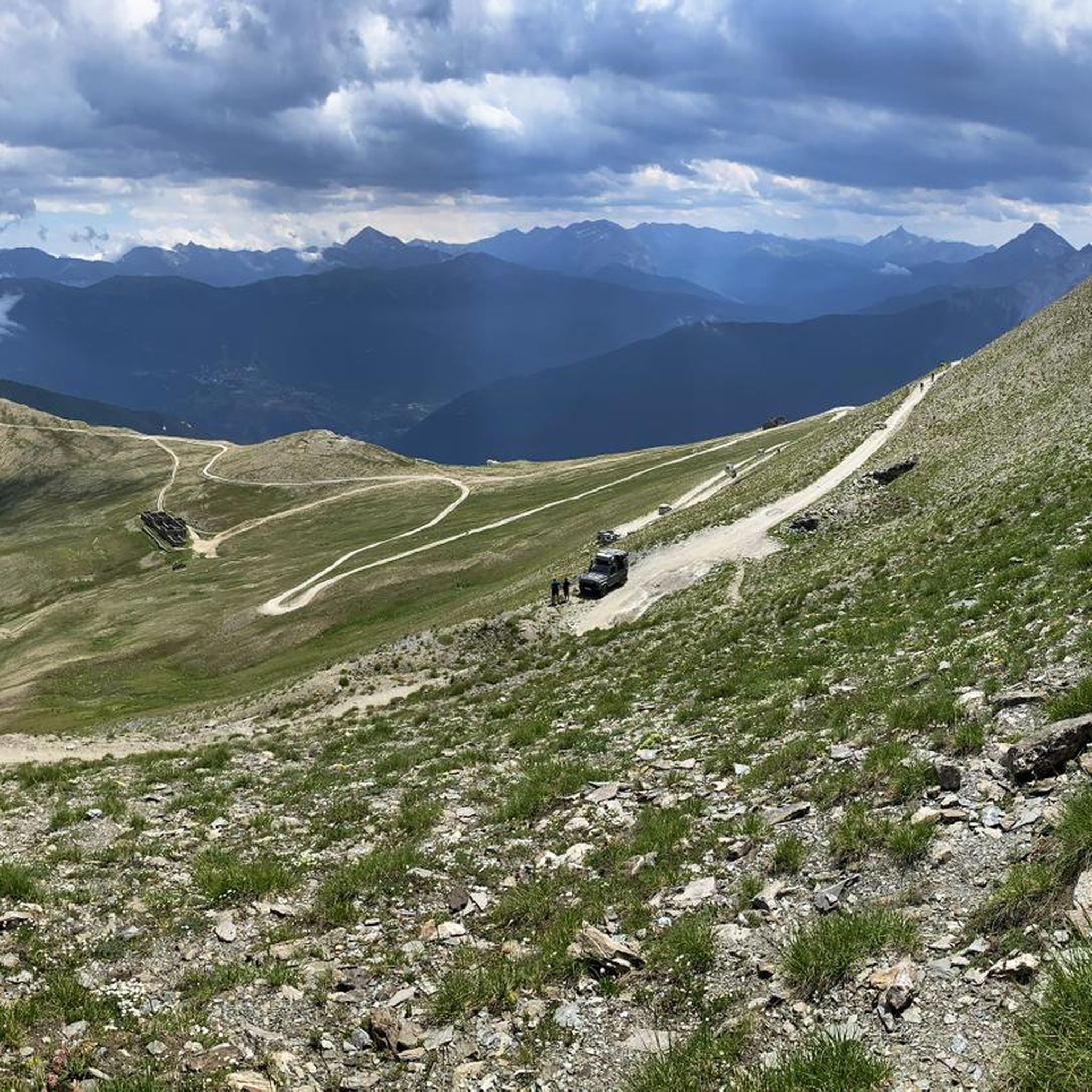
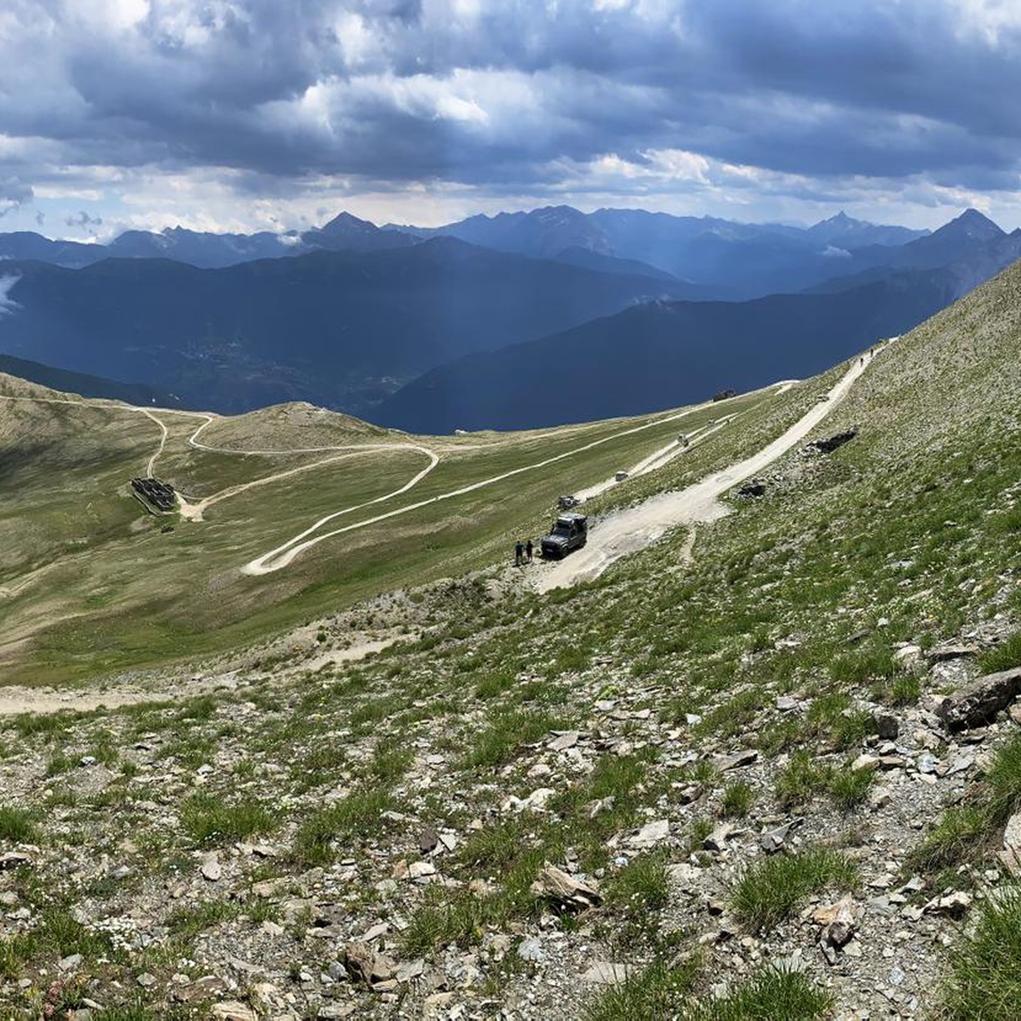
Starting point of the fabulous military road of Pramand, which goes beyond the summit of Jafferau, up to Salbertrand
0
0
The old village washhouses
0
0
A beautiful holiday structure along the route
0
0

La Vallée de la Clarée is one of the most beautiful and unspoiled alpine valleys in France, located in the Hautes-Alpes, on the border with Italy, between Briançon and Montgenèvre. It is a glacial valley about 33 km long, crossed by the Clarée river and protected as a natural site of great landscape value.
8
0


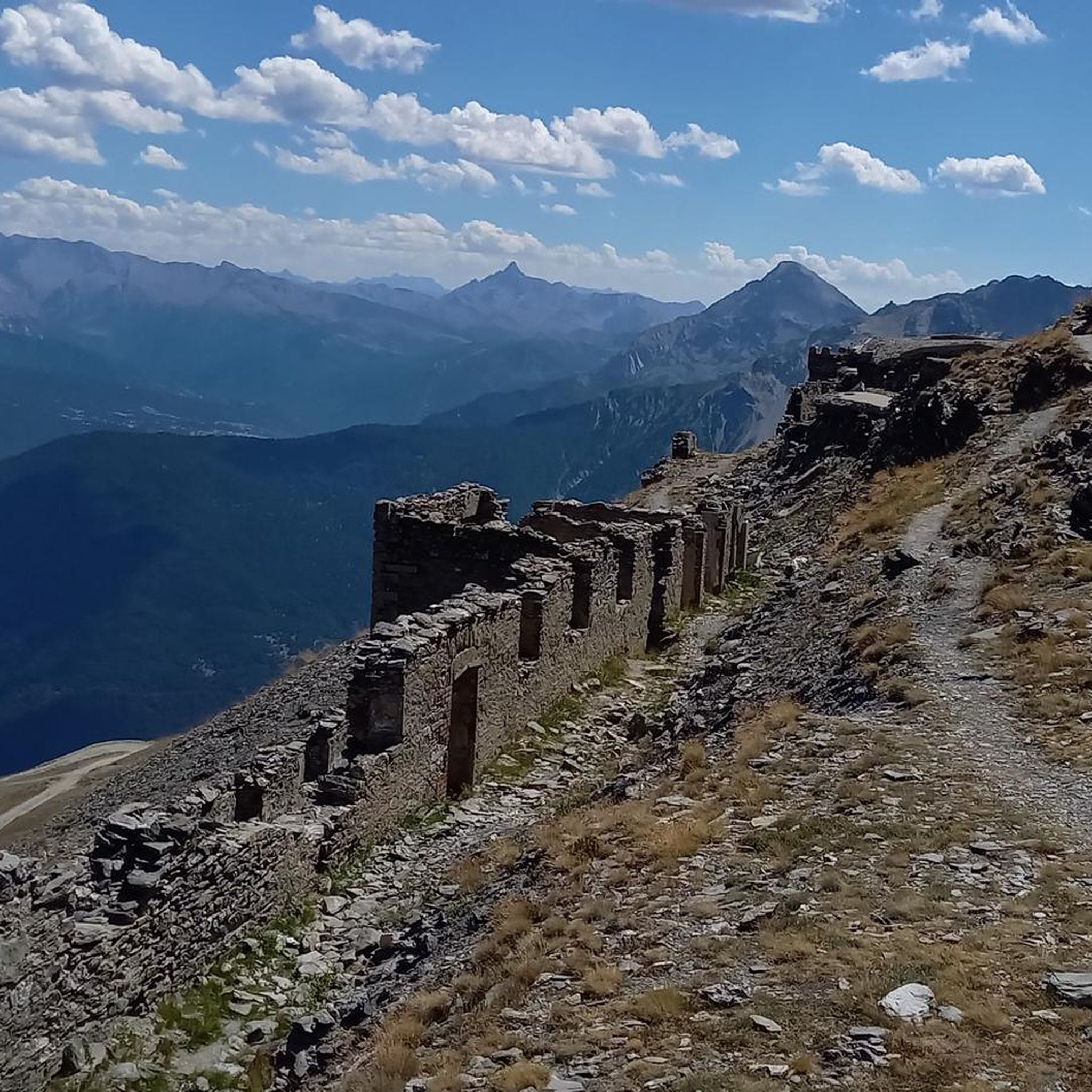
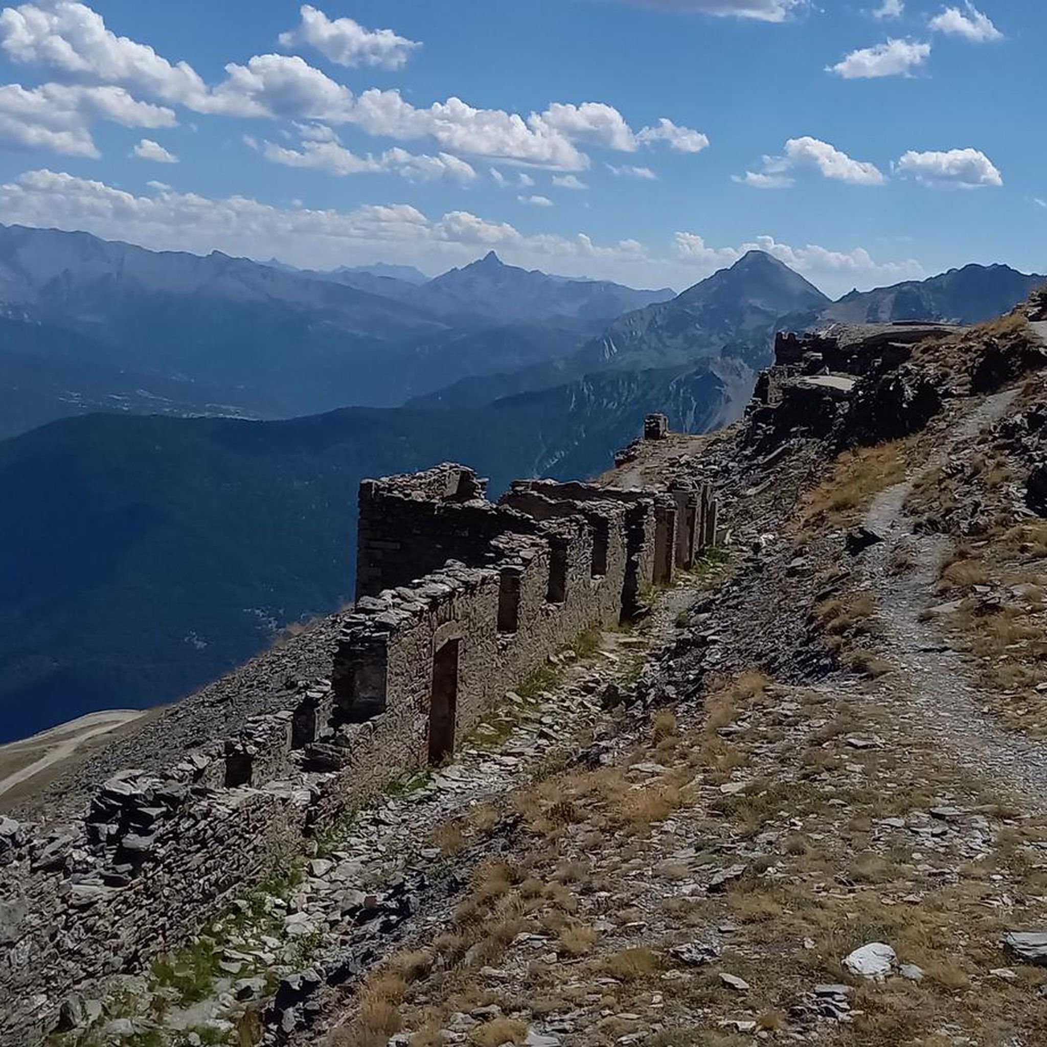
Great view of the Victor Emmanuel fortress as part of a chain of fortifications.
1
0
Beautiful view of Fort Victor Emmanuel.
2
0
Town with transit traffic to Italy on the Arc. Many possibilities, hotels, restaurants and shops.
2
0
Frequently Asked Questions
How many road cycling routes can I explore in Bardonecchia - Val Fredda?
Bardonecchia - Val Fredda offers a diverse network of road cycling routes. While the region boasts over 280 routes across various cycling disciplines, you'll find at least 25 dedicated road cycling tours on komoot, catering to different skill levels.
What is the best time of year for road cycling in Bardonecchia - Val Fredda?
The best time for road cycling in Bardonecchia - Val Fredda is typically during the warmer months, from late spring to early autumn. This period offers more stable weather conditions and ensures that high mountain passes are clear of snow, allowing access to the full range of routes and stunning alpine scenery.
Are there challenging climbs for experienced road cyclists in the region?
Absolutely. Bardonecchia - Val Fredda is renowned for its demanding ascents. Iconic climbs like the Névache – Montgenèvre Pass loop from Salbertrand, with its significant elevation gain, or the challenging route towards Colle del Sommeiller, offer a true test for experienced riders. Many routes follow ancient military roads, providing both historical interest and steep gradients.
Can I find family-friendly road cycling routes in Bardonecchia - Val Fredda?
While many routes feature significant elevation, there are options suitable for families or those seeking a more relaxed ride. Look for routes with moderate difficulty, often found in the valleys or around the lower slopes, which provide a gentler introduction to the region's beauty without overly strenuous climbs.
What kind of road surfaces can I expect on the routes?
The roads in Bardonecchia - Val Fredda frequently feature well-paved surfaces, making them ideal for road bikes. However, some routes, particularly those following ancient military roads or leading to higher altitudes, may include unpaved or more challenging segments. It's always a good idea to check route details for surface conditions before you set out.
Are there any circular road cycling routes available?
Yes, many of the road cycling routes in Bardonecchia - Val Fredda are designed as loops, allowing you to start and finish in the same location. Examples include the Névache – Tur d'Amun loop from Beaulard or the Camping Gran Bosco loop from Savoulx, providing convenient options for exploration.
What interesting landmarks or viewpoints can I see along the road cycling routes?
The region is rich in natural beauty and historical sites. You can cycle past the picturesque Rochemolles Village, known for its renovated mountain huts, or explore routes that offer views of dominant peaks like Monte Jafferau. Historical fortifications such as Fort Jafferau are also accessible, providing panoramic vistas of the alpine landscape.
Are there places to stop for refreshments or local products along the way?
Yes, especially in the valleys and near villages. The Valfredda Alpine Farm (Alpeggio Valfredda) is a notable stop where you can enjoy tranquil scenery and purchase local cheeses. Many villages, including Bardonecchia itself, offer cafes and restaurants where you can refuel and experience local hospitality.
What do other road cyclists enjoy most about cycling in Bardonecchia - Val Fredda?
The area is highly rated by the komoot community, with an average score of 4.5 stars. Reviewers often praise the stunning alpine landscapes, the challenge of the high mountain climbs, and the sense of immersion in a wild and uncrowded natural environment. The well-maintained roads and diverse terrain are also frequently highlighted.
Is it possible to access the road cycling routes using public transport?
Bardonecchia is a key hub in the region and is accessible by train, which can be a convenient option for reaching the starting points of many routes. From Bardonecchia, local buses or cycling directly can connect you to various trailheads and villages within Val Fredda. Always check local transport schedules for the most up-to-date information.
Are there any specific road cycling routes that offer a unique historical experience?
Yes, the region is crisscrossed by ancient military roads, offering a unique historical dimension to your ride. Routes that follow these paths, such as those leading to Forte Foens or passing through spectacular tunnels like the Galleria dei Saraceni, provide not only challenging cycling but also a glimpse into the area's past fortifications and strategic importance.
Most popular routes in Bardonecchia - Val Fredda
Most popular attractions in Bardonecchia - Val Fredda

Get inspired with the komoot mobile app


Explore more
Browse the best Road cycling routes in other regions.
