The best walks and hikes in Bardonecchia - Val Fredda
4.5
(3081)
16,960
hikers
522
hikes
Hiking in Bardonecchia - Val Fredda offers diverse landscapes, characterized by high mountain peaks, alpine meadows, and lush forests. The region features 11 named mountains, with Cima del Vallonetto reaching 3,217 meters, and includes tranquil streams and rich biodiversity. Valfredda is recognized for its significant natural value, providing varied terrain for outdoor activities.
Best hiking trails in Bardonecchia - Val Fredda
- The most popular hiking route is Historic military road to Fort Jafferau (via Trail 761), a 4.3 miles (7.0 km) moderate trail that takes 3 hours 27 minutes to complete, following an historic military road towards Fort Jafferau.
- Another top favourite among local hikers is Cima del Vallonetto and Bivacco Berrone (via Route 717A), a difficult 4.4 miles (7.0 km) path. This route ascends to a high peak and a bivouac, offering expansive mountain views.
- Local hikers also love the Monte Jafferau Military Road Trail, a 3.8 miles (6.1 km) trail leading through mountain terrain and along another military road, often completed in about 2 hours 59 minutes.
- Hiking in Bardonecchia - Val Fredda is defined by diverse landscapes, rich biodiversity, and unspoiled natural beauty, including mountains, meadows, and lush forests. The network offers options for easy family walks, moderate paths, and challenging ascents.
- The routes in Bardonecchia - Val Fredda are highly rated by the komoot community with an average score of 4.5 stars from over 2,700 reviews. More than 15,000 hikers have used komoot to explore Bardonecchia - Val Fredda's varied terrain.
Last updated: July 7, 2026
3.0
(1)
1
hikers
7.04km
03:45
620m
620m
Hard hike. Good fitness required. Sure-footedness, sturdy shoes and alpine experience required.
3.0
(1)
2
hikers
6.99km
03:27
570m
570m
Moderate hike. Good fitness required. Mostly accessible paths. Sure-footedness required.

Sign up for free
6.11km
02:59
510m
510m
Moderate hike. Good fitness required. Mostly accessible paths. Sure-footedness required.
5.0
(5)
36
hikers
10.5km
03:15
360m
360m
Moderate hike. Good fitness required. Mostly accessible paths. Sure-footedness required.
14
hikers
7.83km
05:24
1,140m
1,140m
Hard hike. Very good fitness required. Mostly accessible paths. Sure-footedness required.
Get access to more routes and recommendations from other explorers.
Sign up for free
Already have an account?
Our route recommendations are based on thousands of hikes, rides, and runs completed by other people on komoot.
Start today with a free account
Your next adventure awaits.
Login or Signup


Tips from the Community

The pretty village of Bardonecchia has many fountains for stocking up on water. The Decauville passes through here, or you can reach Valfredda.
0
0
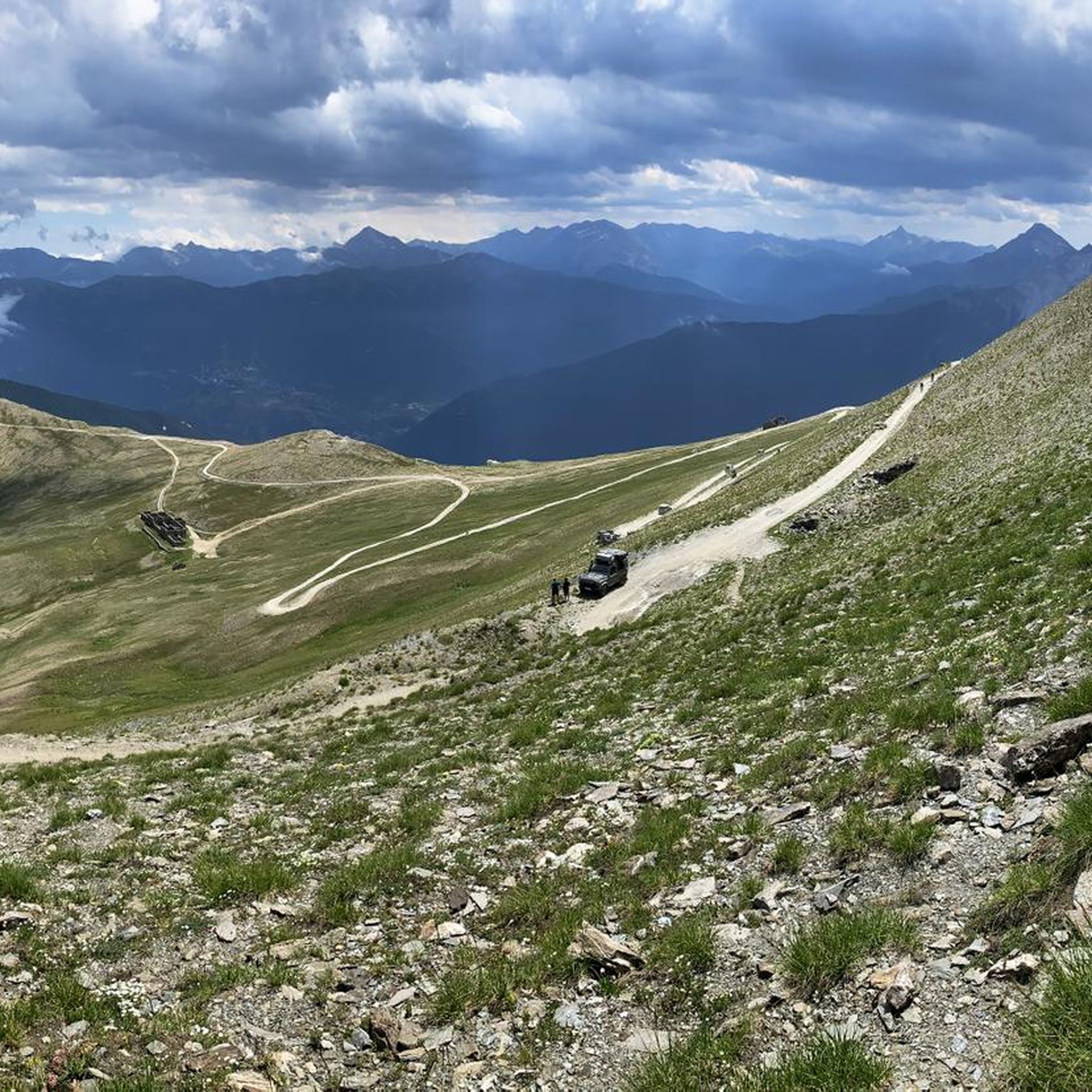
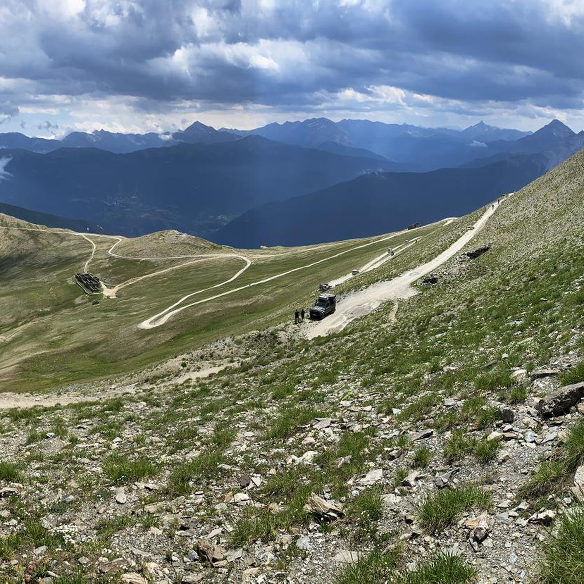
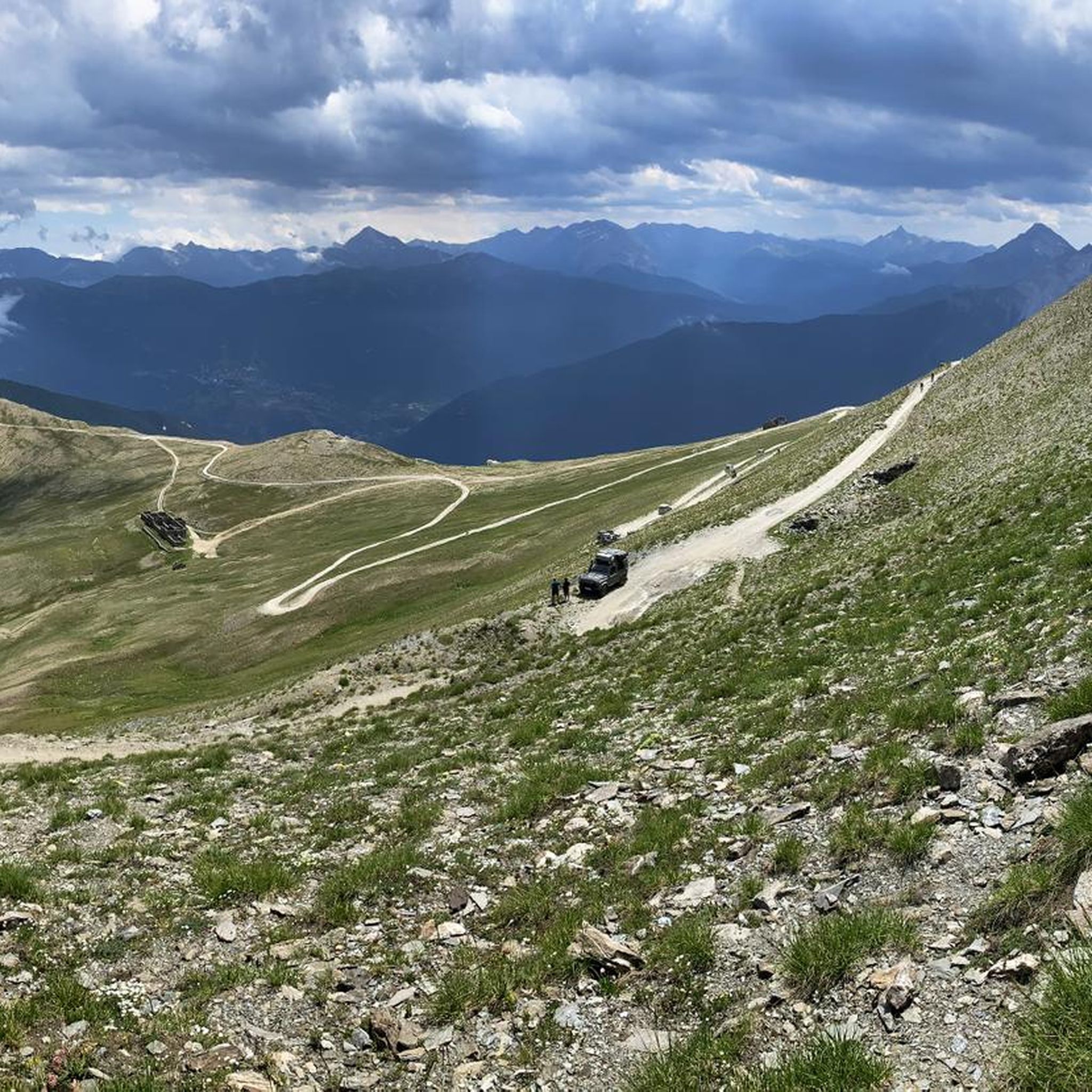
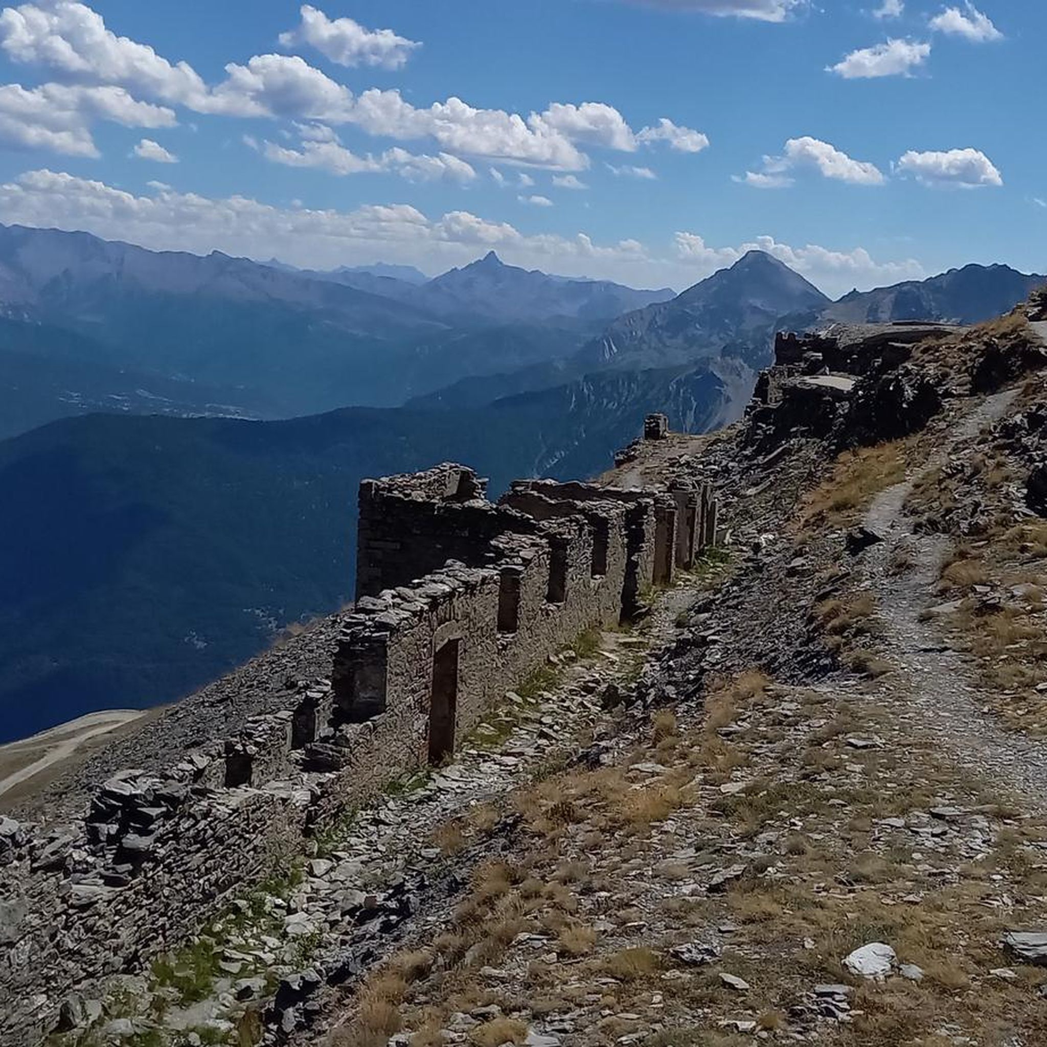
It's located on the dirt road a few hundred meters before the Jaffeau, and it faces directly into the Valle Fredda. There are only a few ruins left, and the roof is missing, so we can't shelter there in case of rain.
0
0
Small church that you come across on the path towards Valfredda, well painted and restored
0
0

Beautiful Bivouac located on a plateau near a small lake, in a splendid panoramic valley. Absolutely worth a visit!
0
0

Approximately 8 beds only mattresses no blankets
2
0


splendid view perfect for taking a break halfway through the walk
0
0

Splendid panorama of the Pierre Menue
0
0
Frequently Asked Questions
How many hiking trails are there in Bardonecchia - Val Fredda?
Bardonecchia - Val Fredda offers a wide variety of hiking opportunities, with over 500 routes available. These range from easy strolls to challenging ascents, ensuring there's something for every hiker.
What is the best time of year to go hiking in Bardonecchia - Val Fredda?
The region is particularly scenic in late spring (May-June) when the alpine meadows are in full bloom, and in autumn (September-November) when the larch trees display vibrant colors. These seasons offer pleasant temperatures and stunning natural beauty.
Are there easy hiking trails suitable for families or beginners?
Yes, Bardonecchia - Val Fredda has a good selection of easy trails, with over 70 routes classified as easy. Many trails wind through picturesque meadows and tranquil streams, making them suitable for families and individuals of all fitness levels. For example, the Le Grange di La Croix – Chapel of Madonna della Neve loop from Rochemolles is a moderate option that is well-suited for a family outing.
Can I bring my dog on the hiking trails in Bardonecchia - Val Fredda?
Many trails in Bardonecchia - Val Fredda are dog-friendly, allowing you to enjoy the natural beauty with your canine companion. However, it's always recommended to keep dogs on a leash, especially in areas with livestock or wildlife, and to check specific trail regulations before you go.
What natural features or landmarks can I expect to see along the trails?
The region is known for its diverse landscapes, including high mountain peaks like Cima del Vallonetto (3,217 meters) and Monte Jafferau (2,815 meters), alpine meadows, and lush forests. You can also explore historical sites such as Fort Jafferau, or sections of the disused small railway track known as the Decauville Trail. Keep an eye out for marmots in areas like Alpeggio Valfredda.
Are there any circular hiking routes in Bardonecchia - Val Fredda?
Yes, there are several circular routes available, allowing you to start and end your hike in the same location. An example is the Le Grange di La Croix – Chapel of Madonna della Neve loop from Rochemolles, which offers a scenic journey through the landscape.
What do other hikers enjoy most about hiking in Bardonecchia - Val Fredda?
The area is highly rated by the komoot community, with an average score of 4.5 stars from over 2,700 reviews. Hikers often praise the diverse landscapes, the unspoiled natural beauty, and the rich biodiversity, which includes picturesque meadows and tranquil streams.
Are there challenging hikes for experienced trekkers?
Absolutely. For experienced trekkers, there are 142 difficult routes available. A challenging option is the Cima del Vallonetto and Bivacco Berrone (via Route 717A), which ascends to a high peak and a bivouac, offering expansive mountain views.
Is parking available at the trailheads?
Parking availability varies by trailhead. Many popular starting points in Bardonecchia and surrounding areas offer designated parking. It's advisable to research specific trailheads in advance to confirm parking options and any potential fees.
Can I reach the trailheads using public transport?
Bardonecchia itself is accessible by public transport, including train services. From Bardonecchia, local bus services or taxis may connect to some of the more accessible trailheads. For more remote starting points, a car is often recommended.
What kind of terrain can I expect on the trails?
The terrain in Bardonecchia - Val Fredda is highly varied. You can expect to encounter everything from gentle paths through alpine meadows and lush forests to rocky ascents on high mountain trails. Some routes, like the Historic military road to Fort Jafferau (via Trail 761), follow old military roads, offering a unique historical element to the landscape.
Are there any specific points of interest for nature lovers?
Nature lovers will appreciate the Valfredda's designation as a Site of Community Importance due to its significant natural value and rich biodiversity. You can observe marmots in their natural habitat, particularly around the Alpeggio Valfredda, and enjoy the tranquil streams and diverse flora throughout the valley.
Most popular routes in Bardonecchia - Val Fredda
Most popular attractions in Bardonecchia - Val Fredda

Get inspired with the komoot mobile app


Explore more
Browse the best Hikes in other regions.
