The best walks and hikes in Lago Marcotto - Roccabruna - Gifarco - Lago Della Nave
4.5
(932)
3,445
hikers
211
hikes
Hiking trails in Lago Marcotto - Roccabruna - Gifarco - Lago Della Nave traverse a protected area in Liguria, Italy, characterized by diverse ecosystems. The landscape features ancient chestnut groves, beech forests, rocky terrain, and coniferous woods, alongside wetlands and lakes such as Lago Marcotto and Lago Della Nave. Prominent peaks like Monte Gifarco (1380m) and Monte Roccabruna (1418m) offer significant elevation changes and panoramic views.
Best hiking trails in Lago Marcotto - Roccabruna - Gifarco - Lago Della Nave
…Last updated: July 8, 2026
5.0
(9)
24
hikers
7.06km
02:48
440m
440m
Moderate hike. Good fitness required. Mostly accessible paths. Sure-footedness required.
5.0
(2)
5
hikers
4.16km
01:19
180m
170m
Easy hike. Great for any fitness level. Easily-accessible paths. Suitable for all skill levels.

Sign up for free
1
hikers
12.0km
04:57
620m
620m
Moderate hike. Good fitness required. Mostly accessible paths. Sure-footedness required.
19.5km
08:02
1,140m
1,140m
Hard hike. Very good fitness required. Mostly accessible paths. Sure-footedness required.
7.34km
03:28
540m
540m
Hard hike. Good fitness required. Sure-footedness, sturdy shoes and alpine experience required.
Get access to more routes and recommendations from other explorers.
Sign up for free
Already have an account?
Our route recommendations are based on thousands of hikes, rides, and runs completed by other people on komoot.
Start today with a free account
Your next adventure awaits.
Login or Signup
Popular around Lago Marcotto - Roccabruna - Gifarco - Lago Della Nave
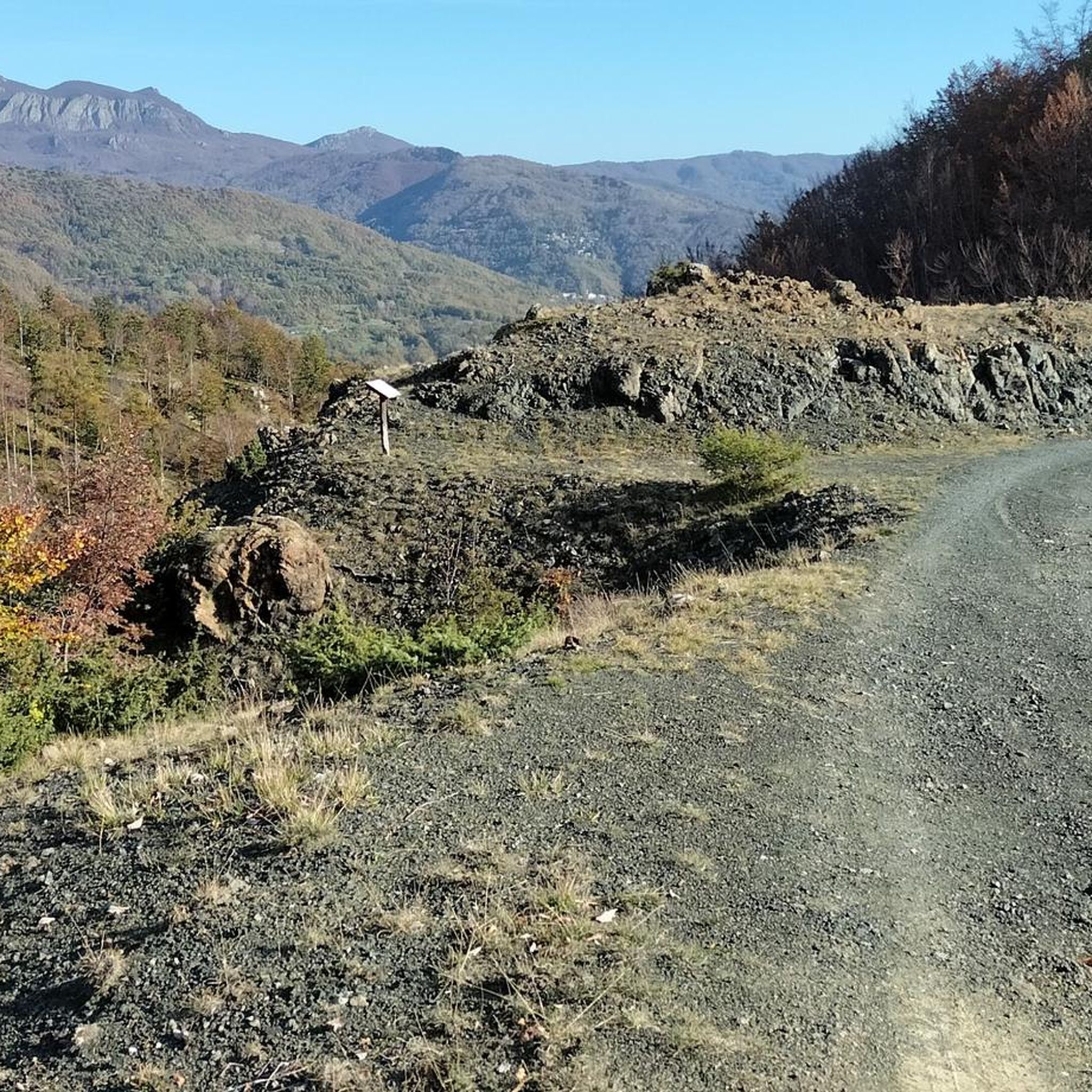
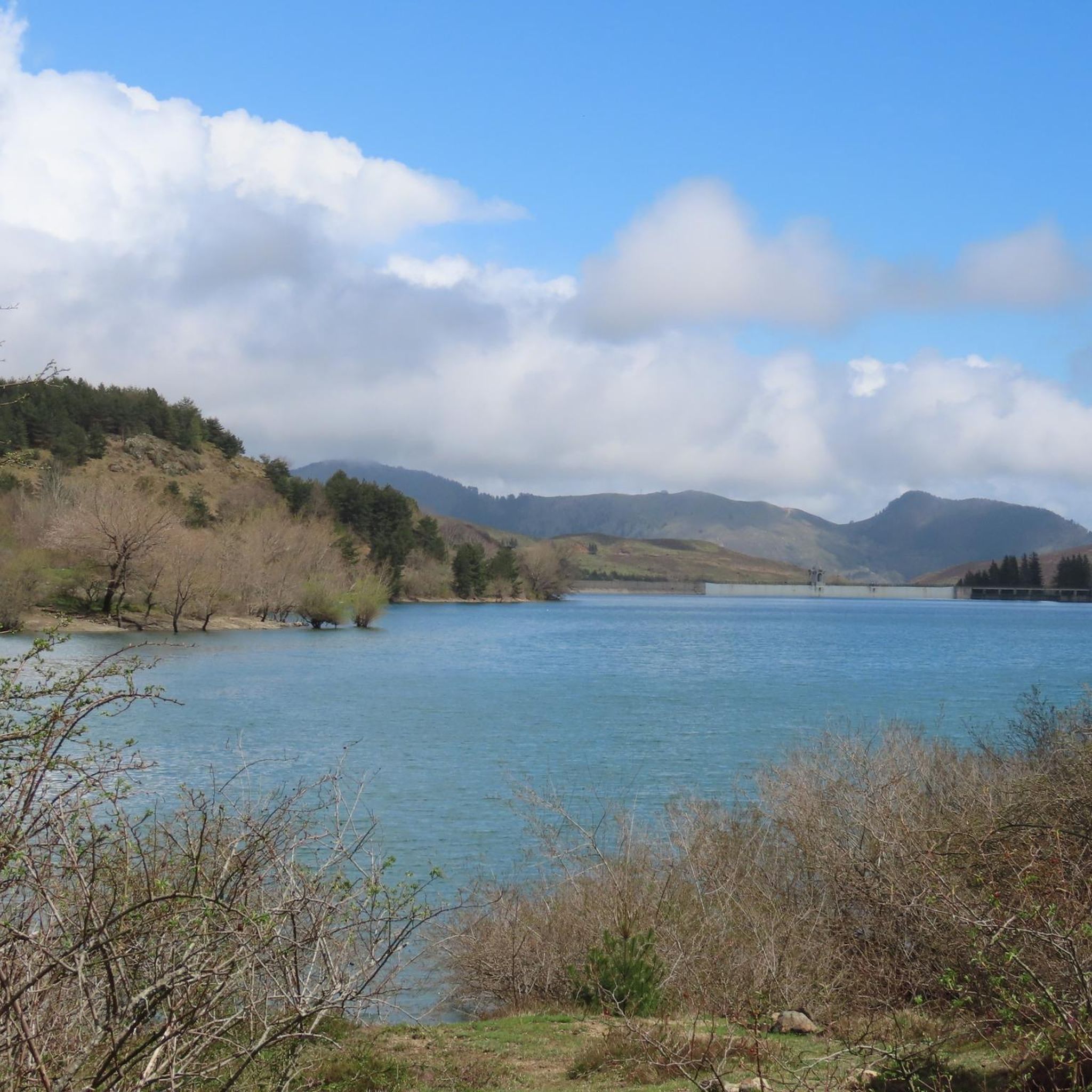
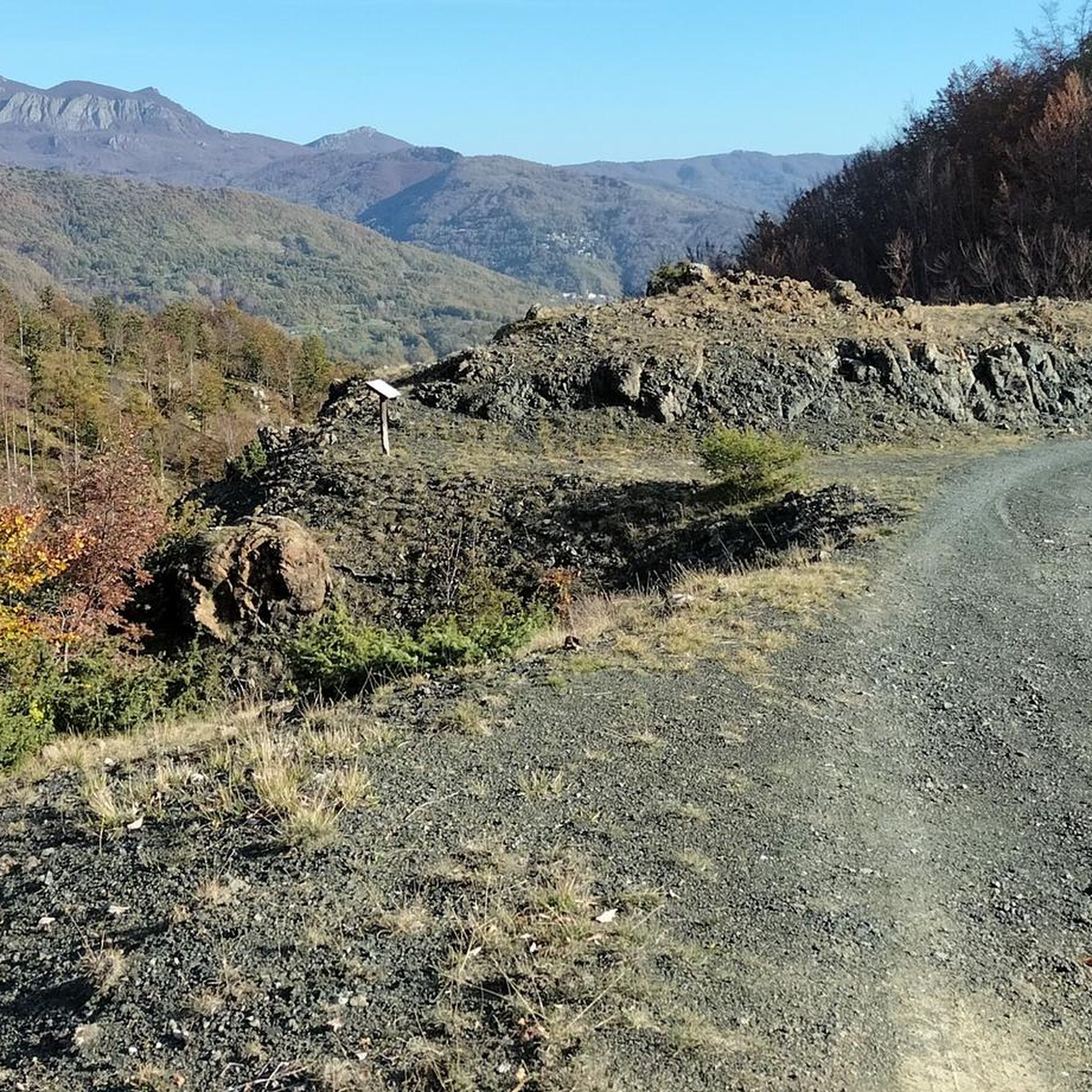
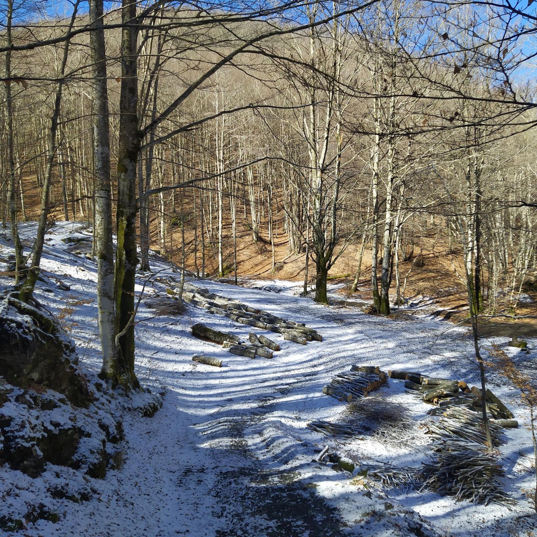
Tips from the Community


Challenging climb, but great satisfaction
0
0

Interesting wetland on the Aveto/Trebbia hill. The lake, which has almost disappeared among the grass, was restored two years ago thanks to the efforts of an inhabitant of Vallescura. Powered by a small pipe that collects springs from the meadows upstream. http://www.vallescura.net/lagoind.htm
0
0

Connection between Val d'Aveto and Val Trebbia. Wonderful places to pedal in peace.
0
0

From the top a beautiful view over the Trebbia valley, Casanova and Fontanigorda. At the top the famous sword in the stone.
0
0

Crossing from Monte Gifarco, the final climb has some exposed passages from the side of Colle Castello del Fante. Classifiable EE for the final stretch. If done directly from Fontanigorda only very much I would hate E but for well trained
0
0

Our route starts from the Fregarolo Pass and can be reached by car along the SP48 that connects Cabanne with Fontanigorda. The path begins on the pass, inside the sharp bend, marked by a yellow dot that distinguishes the entire path along the ridge. After a few steps you will come across a small chapel and then cross a small pine forest and climb over a slightly marked peak. The path continues in the shade of the beech forest surrounded by extraordinary autumn colors. The carpet of leaves softens our steps as the rustle of the red and yellow leaves falling from the trees accompanies us. In an undemanding ups and downs you can easily reach Passo del Fante where on the left you meet the path that comes from Fontanigorda.
0
0
This curious mountain is characteristic for its isolated position. Steep to the north, with a rocky overhang to the south, it offers a pretty good aerial view from its summit. Its rock is made up of diabasic amygdala and in the most sloping part it also has a second, even more daring access route. Due to its geographical feature it was used as a lookout post by customs officers, at the time of the Fieschi, to monitor the famous Gifarco mule track, an important commercial communication route. On the northern part of the summit, in fact, excavations with the remains of ancient walls that surrounded the lookout post can be seen. With its 360-degree panorama, you immediately notice the wonderful glimpse of the Trebbia Valley where the villages of Casanova and Fontanigorda lie. Further away on the other side you can see the villages of Cassingheno, Fontanarossa, Bertazzi and Bertone dominated by Mount Antola, Costalta, Alféo and Carmo.
0
1
Frequently Asked Questions
How many hiking trails are available in the Lago Marcotto - Roccabruna - Gifarco - Lago Della Nave region?
The region offers over 200 hiking routes, catering to various skill levels. You'll find a diverse selection, from easy walks around the lakes to more challenging ascents towards the mountain peaks.
What types of terrain can I expect on the hiking trails?
Hikers can experience a remarkable variety of landscapes. Trails often pass through ancient chestnut groves, dense beech and coniferous forests, rocky sections, and wetlands around the lakes. The area features significant elevation changes, especially on routes leading to peaks like Monte Gifarco and Monte Roccabruna.
Are there family-friendly hiking options in the Lago Marcotto - Roccabruna - Gifarco - Lago Della Nave area?
Yes, there are several easy trails suitable for families. For instance, the Passo del Fregarolo and Lago della Nava route is an easy 2.6-mile (4.2 km) path that provides a pleasant experience around Lago Della Nave and its wetlands, perfect for a relaxed family outing.
What are some notable landmarks or natural features to look out for on the trails?
The region is rich in natural beauty and unique attractions. You can explore the 'Bosco delle Fate' (Fairy Wood) with its ancient chestnut trees, or seek out the famous Sword in the Stone of Monte Gifarco. The peaks of Mount Gifarco and Monte Roccabruna offer panoramic views, and the serene Lago Marcotto and Lago Della Nave are beautiful natural highlights.
Are there any challenging hikes for experienced trekkers?
Yes, the area includes 56 difficult routes for experienced hikers. Trails like Monte Castello del Fante from Fontanigorda offer significant elevation gain and more demanding terrain. The ascent to Monte Gifarco can also involve a rather vertical passage between rocks, requiring attention.
What is the best time of year to go hiking in this region?
The diverse ecosystems, including forests and lakes, make this region enjoyable across multiple seasons. Spring and autumn offer pleasant temperatures and vibrant foliage, while summer provides lush greenery and cooler forest sections. Some trails may be accessible in winter, but conditions can vary, especially at higher elevations.
Are there any circular hiking routes available?
Many trails in the Lago Marcotto - Roccabruna - Gifarco - Lago Della Nave area are designed as loop itineraries, allowing hikers to experience a broad spectrum of the landscape without retracing their steps. These loops range in difficulty and length, providing options for various preferences.
What do other hikers enjoy most about the trails here?
The area is highly rated by the komoot community, with an average score of 4.5 stars from over 800 reviews. Hikers often praise the diverse ecosystems, from ancient chestnut groves to mountain peaks and serene lakes, as well as the well-marked paths and the variety of options for different ability levels.
Are there any trails that lead to scenic viewpoints?
Absolutely. Peaks like Monte Gifarco and Monte Roccabruna provide panoramic views of the surrounding Val d'Aveto and Val Trebbia. Many routes are designed to showcase the region's natural beauty, including viewpoints over the lakes and valleys. The Panoramica Orezzoli is also a notable scenic spot.
Are there any amenities like huts or shelters along the routes?
Yes, some routes pass by or near amenities. For example, Rifugio Foppiano is a hut located within the region, which can serve as a resting point or shelter on longer treks.
Can I find trails that explore the historical aspects of the region?
Yes, some paths in the broader Roccabruna area allow visitors to retrace local history and events, such as the T37 Trail from Sant'Anna di Roccabruna to San Damiano Macra, offering a glimpse into past struggles and local heritage.
What is the average duration for hikes in the Lago Marcotto - Roccabruna - Gifarco - Lago Della Nave area?
Hike durations vary significantly based on difficulty and length. Easy trails like Passo del Fregarolo and Lago della Nava can take around 1 hour 19 minutes, while moderate routes such as the Giorgio Caproni poetry trail to Monte Gifarco typically take about 2 hours 47 minutes. Longer, more difficult routes can extend to 5 hours or more.
Most popular routes in Lago Marcotto - Roccabruna - Gifarco - Lago Della Nave
Most popular attractions in Lago Marcotto - Roccabruna - Gifarco - Lago Della Nave

Get inspired with the komoot mobile app


Explore more
Browse the best Hikes in other regions.
