The best road cycling routes in Parco Dell'Antola
4.7
(56)
906
riders
33
rides
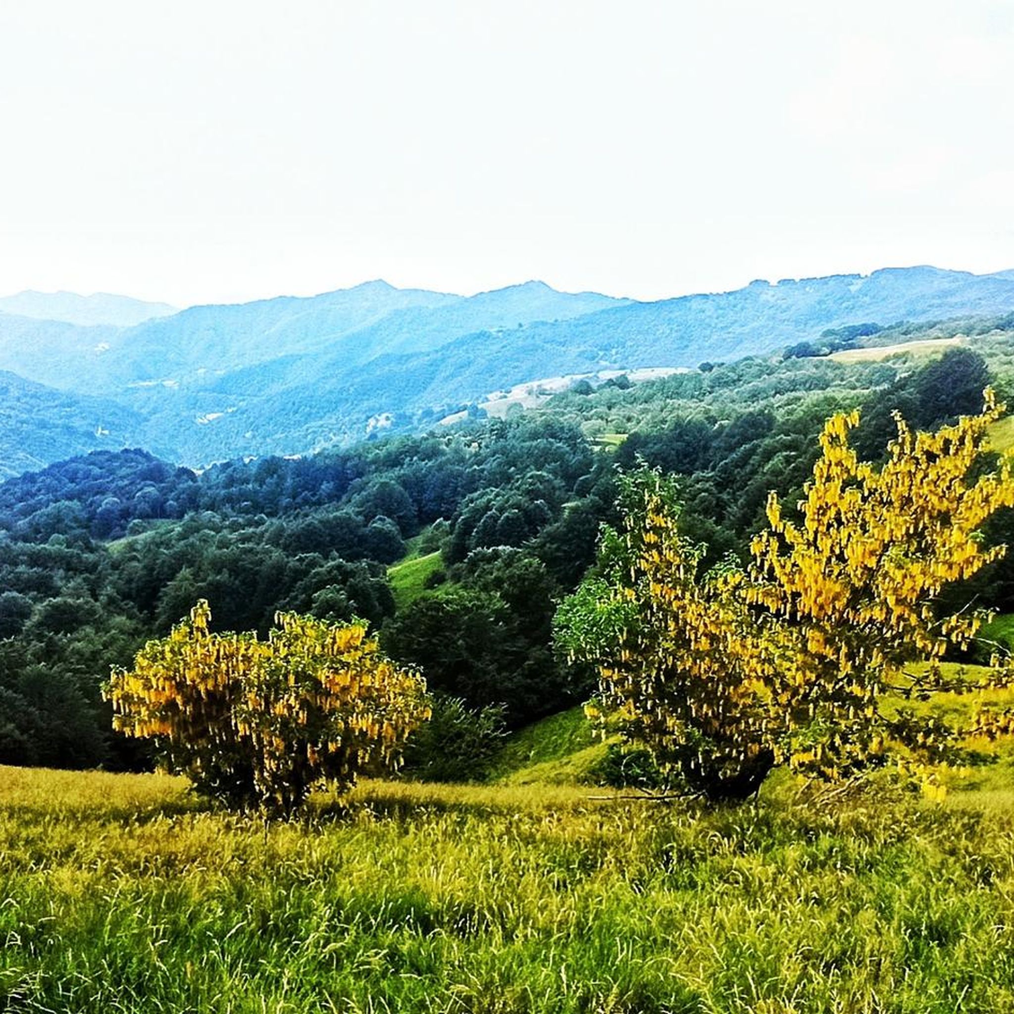
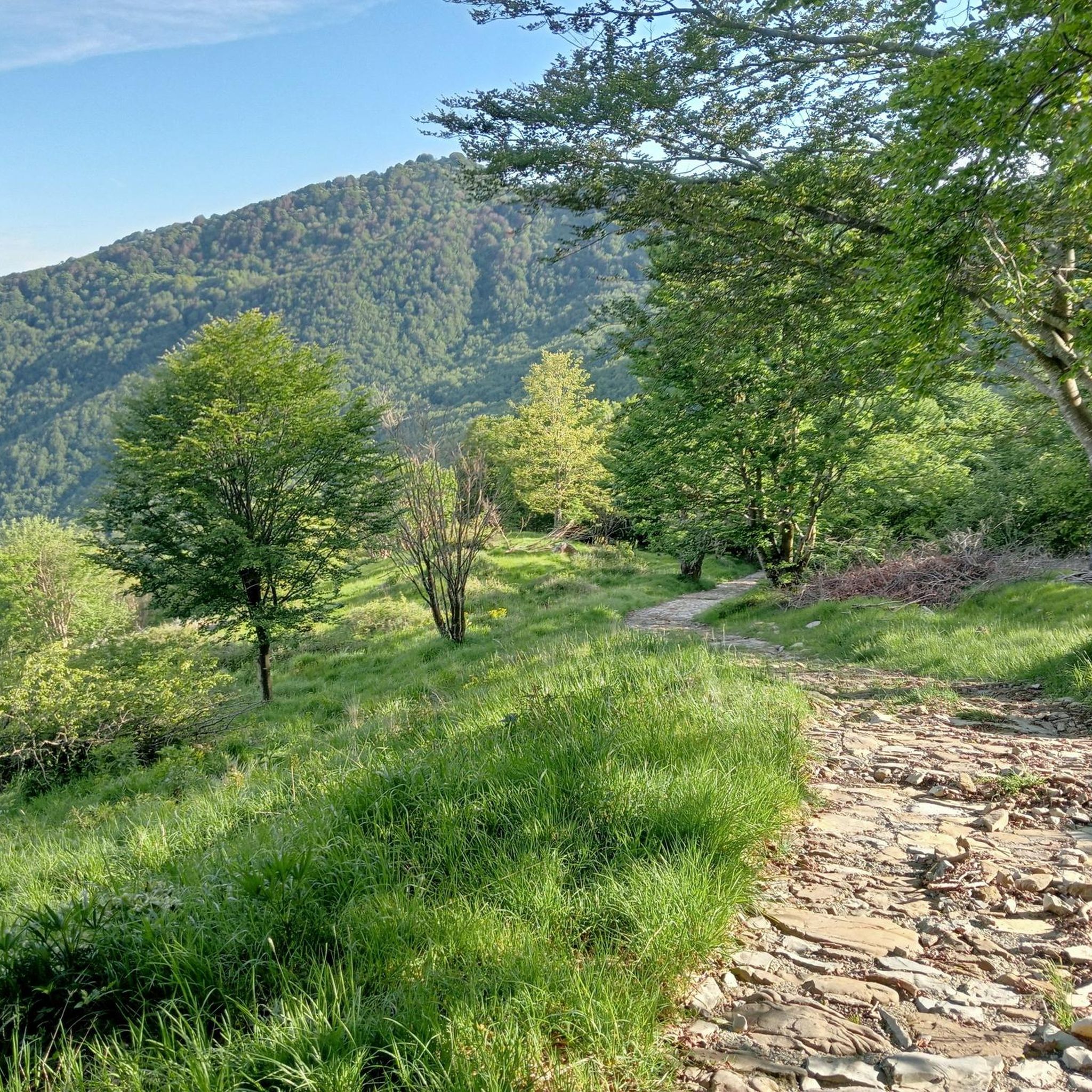
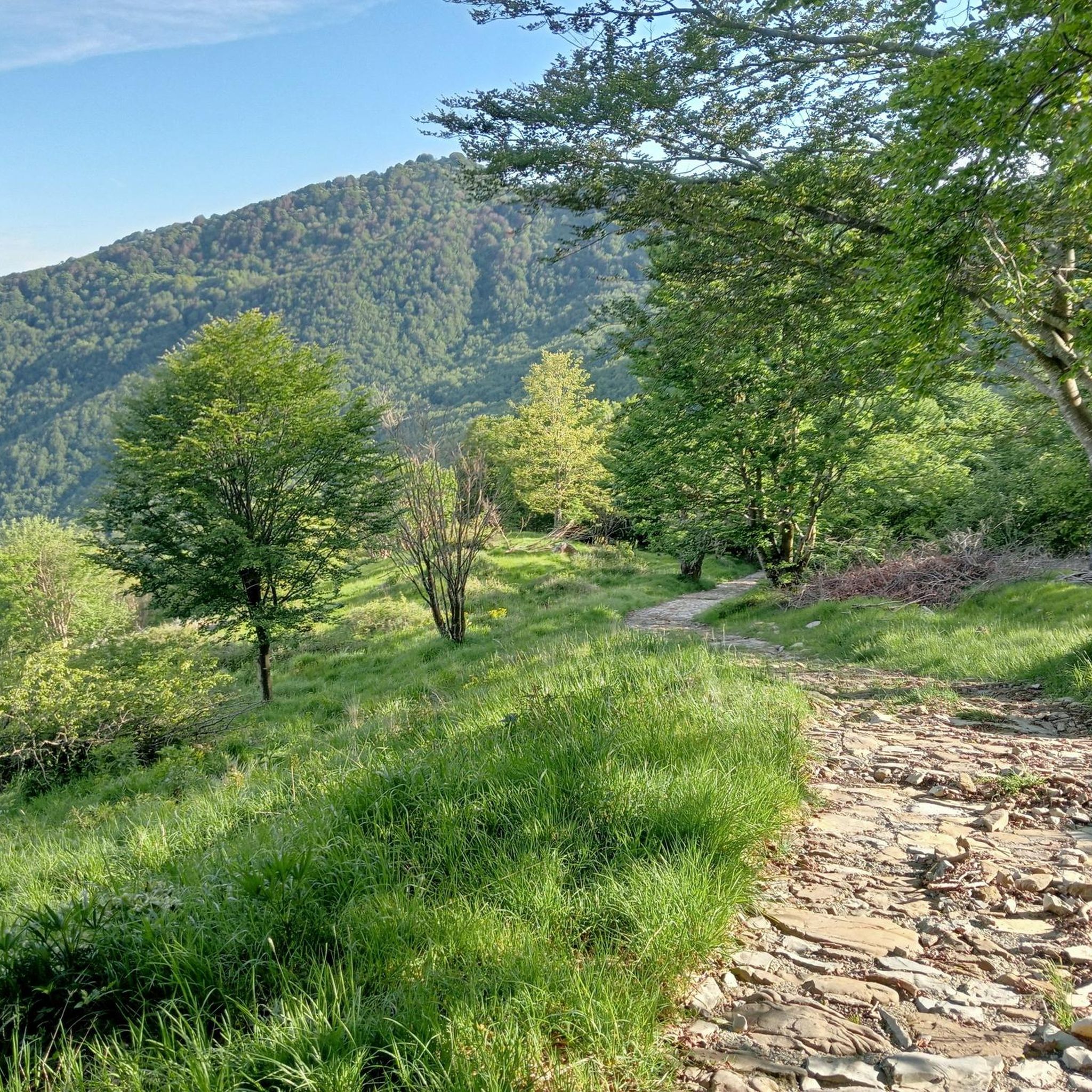
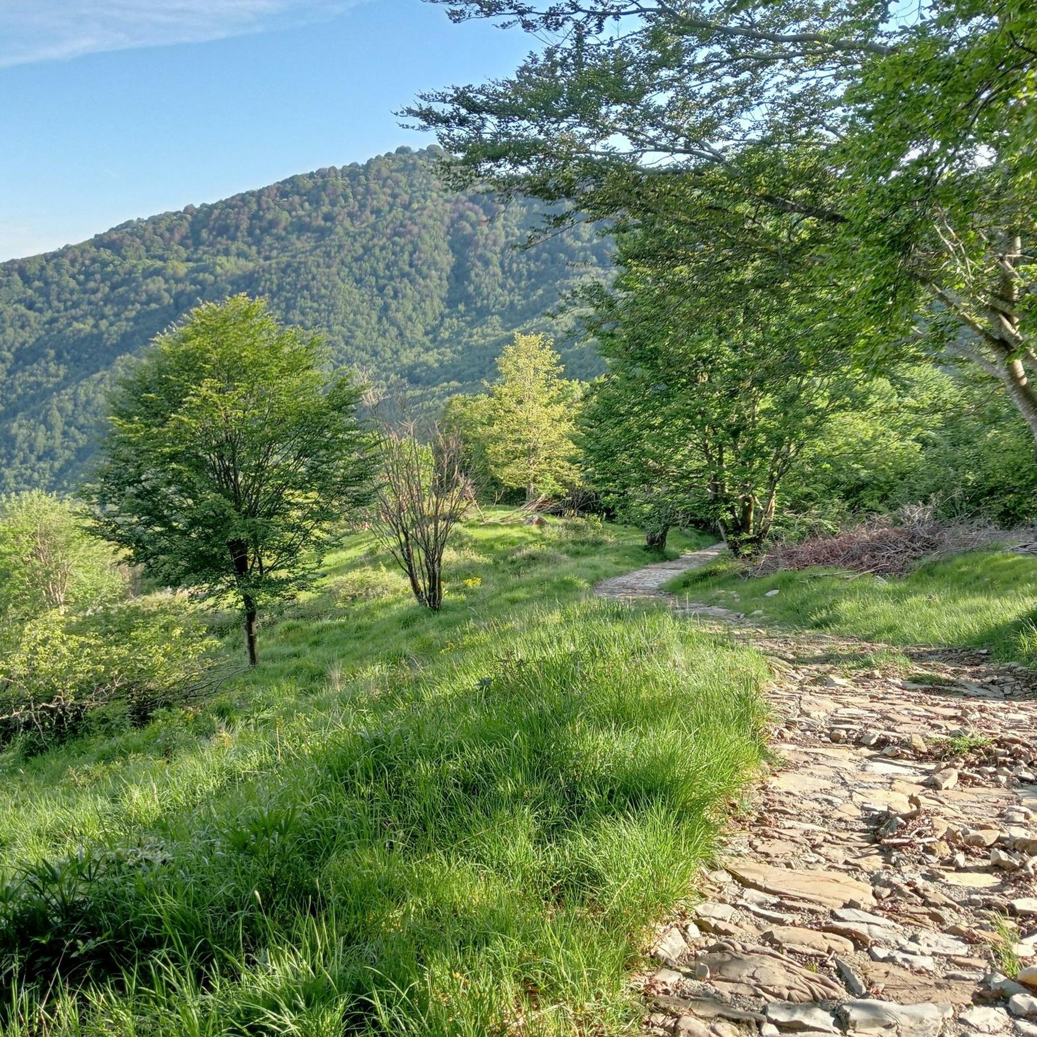
Road cycling in Parco Dell'Antola offers diverse terrain within the Ligurian Apennines, with altitudes ranging from 500 to 1,500 meters. The park features winding roads and significant elevation gains, with mostly well-paved surfaces suitable for road bikes. Cyclists can navigate through extensive beech and oak forests, past the artificial Lago del Brugneto, and across various valleys. This region is characterized by its varied topography, including challenging ascents and exhilarating descents.
Best road cycling routes in Parco Dell'Antola
- The most popular…
Last updated: July 8, 2026
5.0
(4)
92
riders
43.6km
02:15
770m
770m
Moderate road ride. Good fitness required. Mostly well-paved surfaces and easy to ride.
5.0
(1)
16
riders
29.6km
01:29
490m
490m
Moderate road ride. Good fitness required. Mostly well-paved surfaces and easy to ride.

Sign up for free
5.0
(1)
9
riders
27.3km
01:41
720m
730m
Moderate road ride. Good fitness required. Mostly well-paved surfaces and easy to ride.
4.6
(9)
62
riders
71.8km
03:11
720m
720m
Moderate road ride. Good fitness required. Mostly well-paved surfaces and easy to ride.
5.0
(4)
21
riders
47.3km
03:01
1,420m
1,420m
Hard road ride. Very good fitness required. Mostly well-paved surfaces and easy to ride.
Get access to more routes and recommendations from other explorers.
Sign up for free
Already have an account?
Our route recommendations are based on thousands of hikes, rides, and runs completed by other people on komoot.
Start today with a free account
Your next adventure awaits.
Login or Signup
Popular around Parco Dell'Antola
Tips from the Community

Arrived at the end of the descent from the passo della Castagnola, right at the entrance to Borgo Scrivia, you will find this Romanesque bridge.
3
0
It is located by taking the variant for the Val Vobbia of the Apennine bike tour.
3
0

Isola del Cantone, in the province of Genoa, has medieval origins linked to its strategic position between the Scrivia and Vobbia rivers (hence Insula), originating around a Benedictine monastery in 1216.
14
0

I arrived in a camper and found a spot easily in the large lot next to the bridge. In town, I also stocked up on groceries at the small butcher's shop just as you enter the village... the owner was very friendly and the shop was well-stocked!
0
0
For a quick stop.
21
0
Beautiful town kept in excellent condition.
14
0
Ecclesiastical building kept in excellent condition.
18
0
Starting point for trekking.
18
0
Frequently Asked Questions
How many road cycling routes are available in Parco Dell'Antola?
Parco Dell'Antola offers over 35 road cycling routes, catering to various skill levels. You'll find a diverse range of options, from moderate rides to challenging climbs, all within the stunning Ligurian Apennines.
What kind of terrain can I expect when road cycling in Parco Dell'Antola?
The region features diverse terrain within the Ligurian Apennines, with altitudes ranging from 500 to 1,500 meters. Expect winding roads, significant elevation gains, and mostly well-paved surfaces. You'll cycle through extensive beech and oak forests, past the tranquil Lago del Brugneto, and across various valleys, offering a varied and engaging experience.
Are there any beginner-friendly road cycling routes in Parco Dell'Antola?
While many routes in Parco Dell'Antola involve significant climbing, there are options suitable for those with moderate fitness. For example, the Panoramic route around Lake Bugneto - ring tour is a moderate 27.3 km (17.0 miles) ride offering scenic views around the largest artificial lake in Liguria. There are 8 moderate routes in total, providing accessible options for less experienced cyclists.
What are some challenging road cycling routes for experienced riders?
Experienced riders seeking a challenge will find plenty of demanding routes. The View of Val d'Aveto – Passo della Scoglina loop from Canale is a difficult 121.2 km (75.3 miles) path with significant climbs and descents. Another popular option is the Passo della Scoglina – Forcella Pass loop from Canale, a 58.8 km (36.5 miles) trail leading through mountain passes. In total, there are 27 difficult routes available for those with very good fitness.
What natural features and landmarks can I see along the road cycling routes?
Parco Dell'Antola is rich in natural beauty and historical sites. You can cycle past the stunning Mount Antola, the park's highest peak offering panoramic views. The largest artificial lake in Liguria, Lago del Brugneto, is a prominent feature. You might also encounter the dramatic Three Crosses Pass, or the area around Casa del Romano, which hosts the Antola Astronomical Observatory. The park also features diverse forests, flowering meadows, and ancient villages.
Are there any loop routes for road cycling in Parco Dell'Antola?
Yes, many road cycling routes in Parco Dell'Antola are designed as loops, allowing you to start and finish in the same location. The Panoramic route around Lake Bugneto - ring tour is a great example, offering a complete circuit around the lake. Other notable loops include the Passo del Portello – Passo della Scoglina loop from Cassingheno and the Casa del Romano loop from Cassingheno.
What is the best time of year for road cycling in Parco Dell'Antola?
The spring and summer months are ideal for road cycling in Parco Dell'Antola. During this time, the meadows and pastures burst with wildflowers, and the weather is generally favorable for exploring the diverse terrain. While the park is accessible year-round, higher altitudes may experience snow in winter, making spring through early autumn the most pleasant and accessible period.
What do other road cyclists enjoy most about the routes in Parco Dell'Antola?
The road cycling routes in Parco Dell'Antola are highly rated by the komoot community, with an average score of 4.9 stars from over 30 reviews. Cyclists frequently praise the winding mountain roads, the tranquil Lago del Brugneto, and the extensive beech forests. The varied topography, including challenging ascents and exhilarating descents, is also a highlight for many.
Are there places to eat or stay near the road cycling routes?
Yes, the park is home to charming ancient villages that offer glimpses into local traditions and provide cultural stops. You can find places for rest and refreshment, such as the Rifugio Parco Antola, located near the summit of Monte Antola, which offers accommodation and typical local cuisine. Various villages throughout the park may also have cafes or small eateries.
Is Parco Dell'Antola suitable for family-friendly road cycling?
While many routes involve significant elevation, some sections and areas around the park can be suitable for families, especially those with moderate fitness. The region offers a mix of gentle inclines and more challenging paths. When planning a family ride, it's advisable to check the specific route profiles for elevation gain and distance to ensure it matches your family's capabilities.
What are the typical elevation gains on road cycling routes in Parco Dell'Antola?
Road cycling in Parco Dell'Antola often involves significant elevation gains, reflecting the mountainous terrain of the Ligurian Apennines. Routes can range from moderate rides with up to 700-800 meters (around 2,300-2,600 feet) of climbing, such as the Lake Brugneto loop, to hard rides requiring very good fitness with over 2,600 meters (8,500 feet) of climbing, as seen in longer loops through the Val d'Aveto.
Most popular routes in Parco Dell'Antola
Most popular attractions in Parco Dell'Antola

Get inspired with the komoot mobile app


Explore more
Browse the best Road cycling routes in other regions.
